West 2018
3,300 miles (plus air), 14 days, 12 hotels, 11 National Parks/Monuments
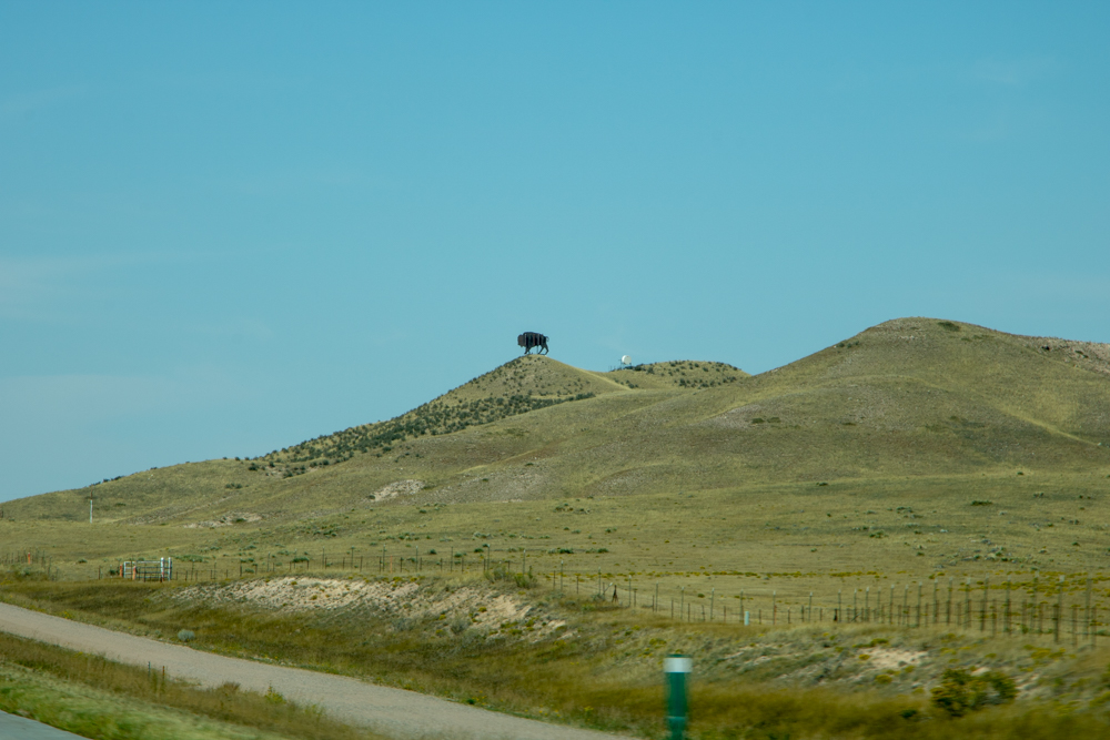
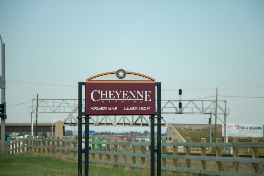
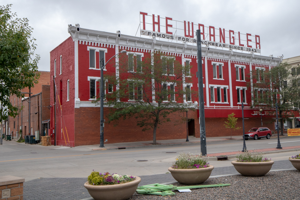
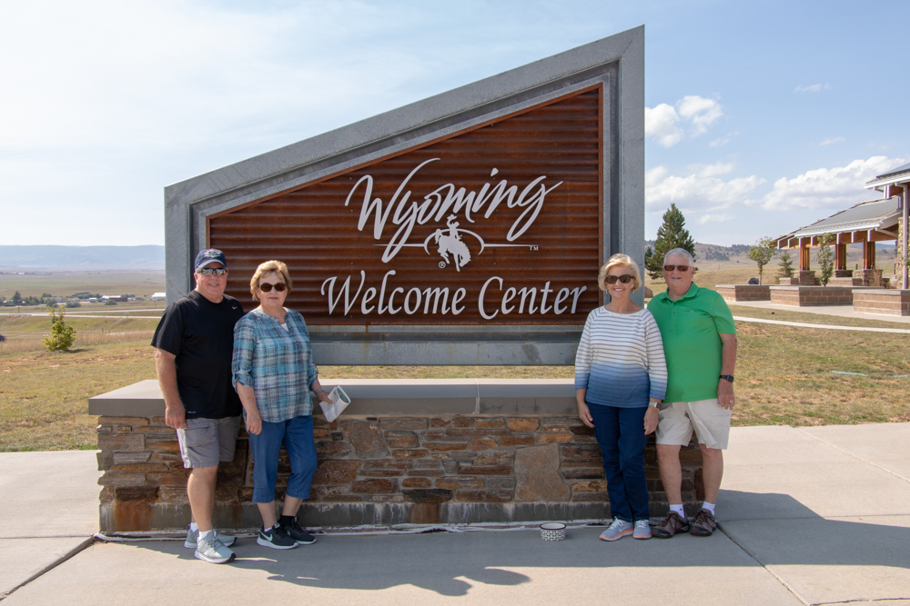
Smyrna, TN to Cheyenne, WY
- Day 1 (9.4.2018) - Flight to Denver
- Denver to Cheyenne, WY - 111 miles
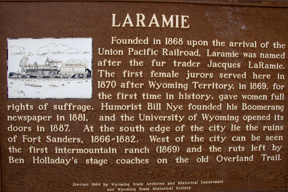
Cheyenne to Laramie, WY
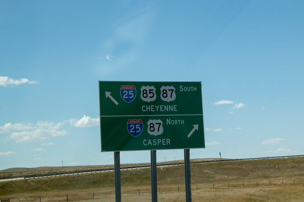
Laramie to Casper, WY
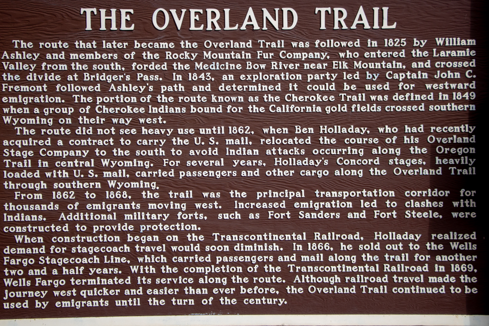
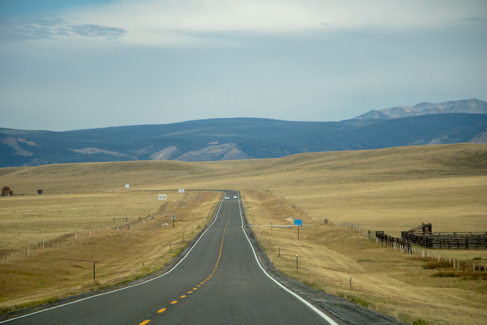
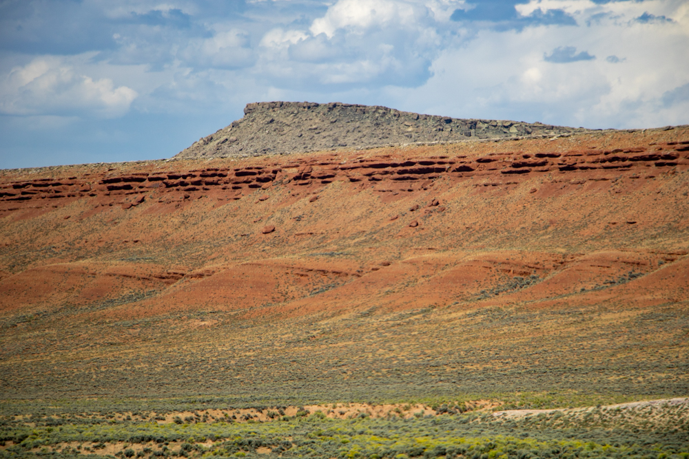
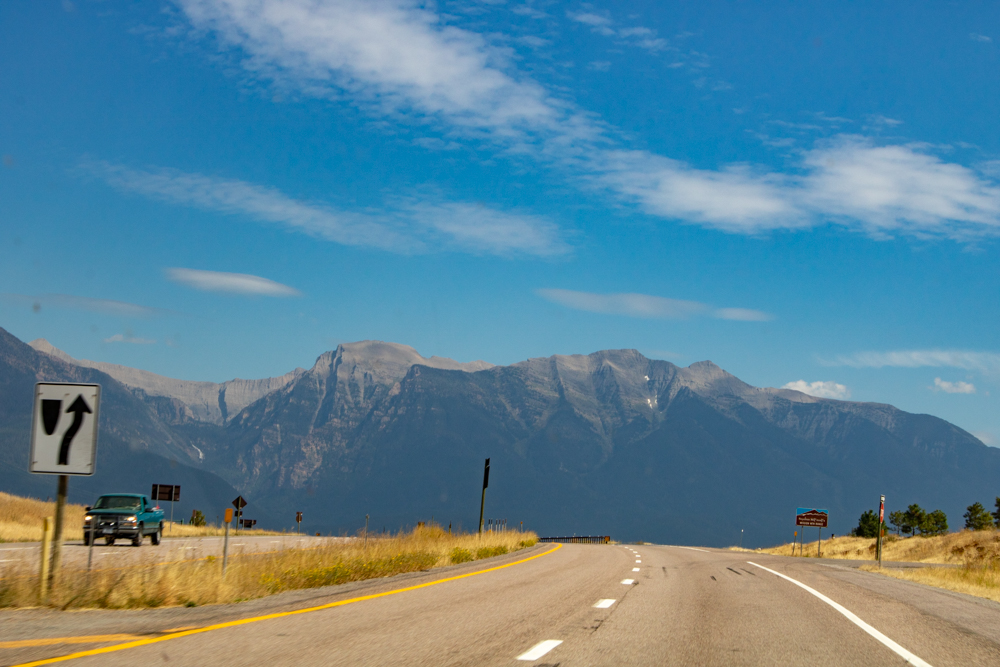
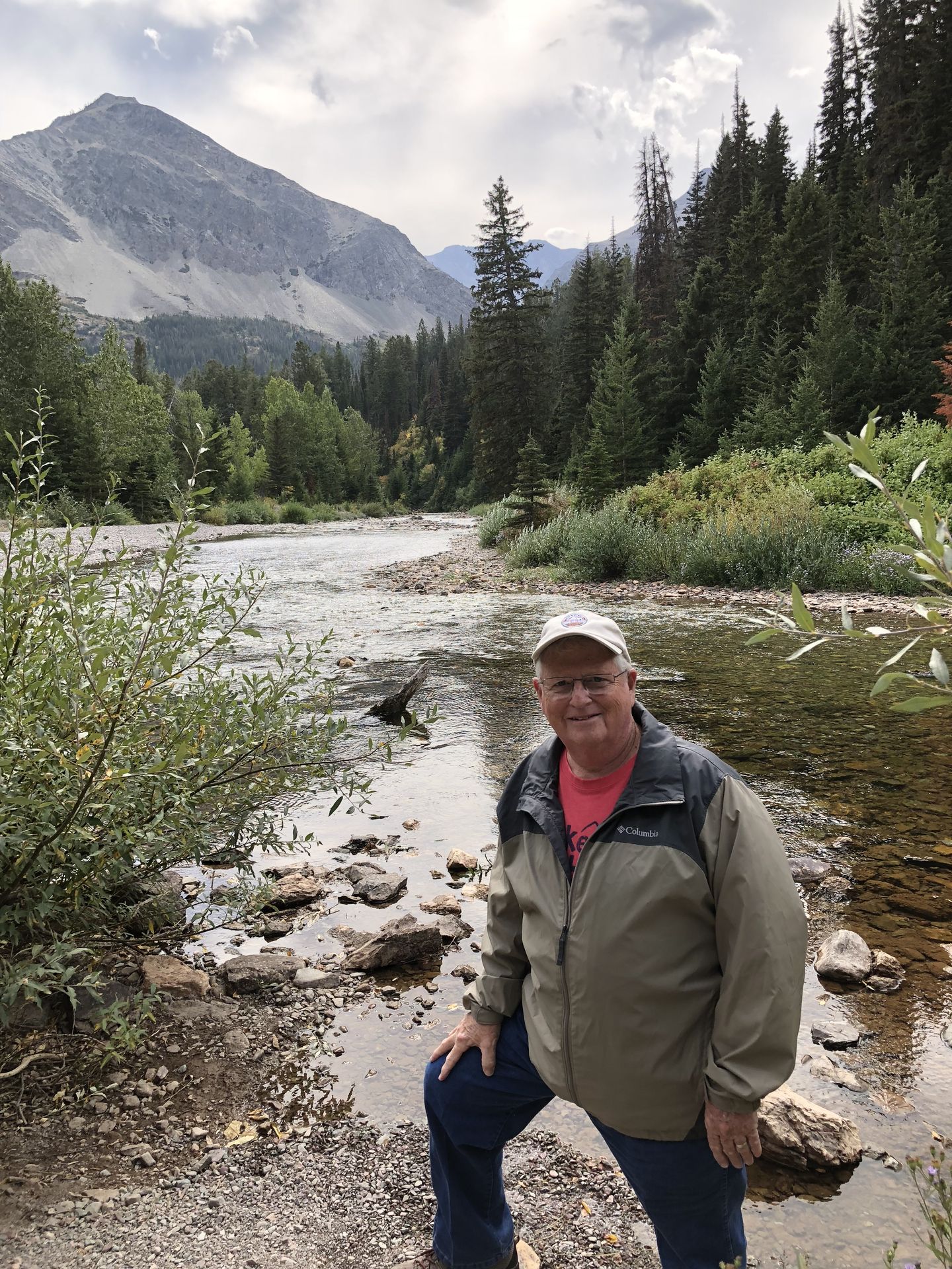
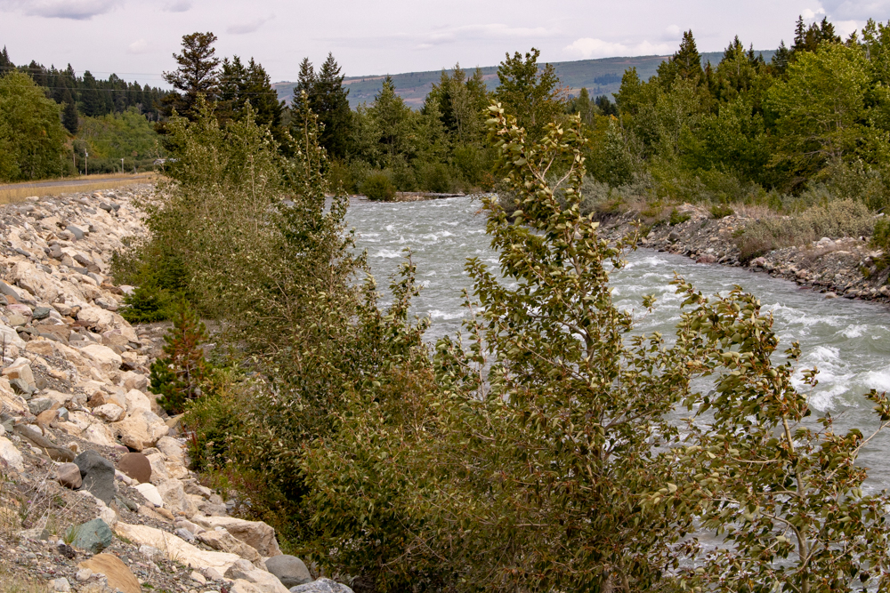
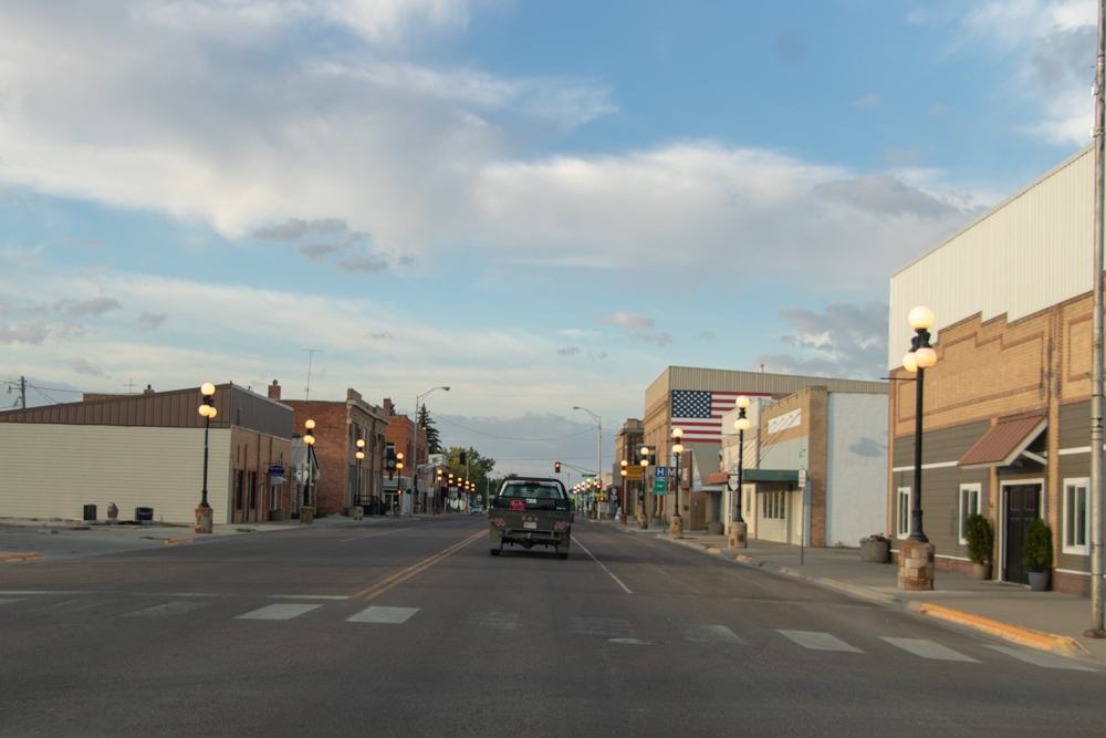
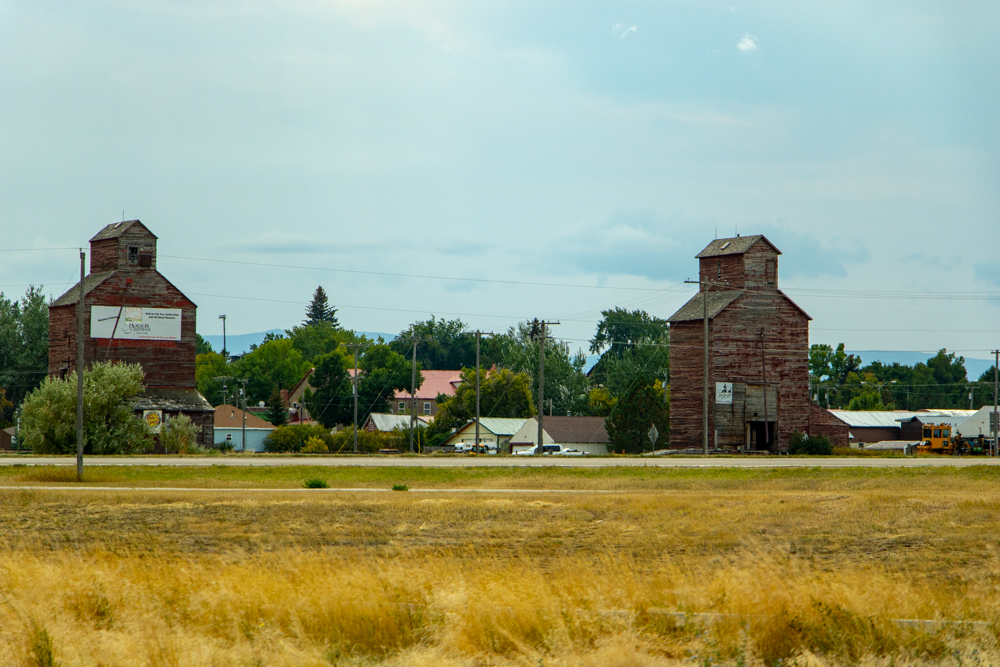
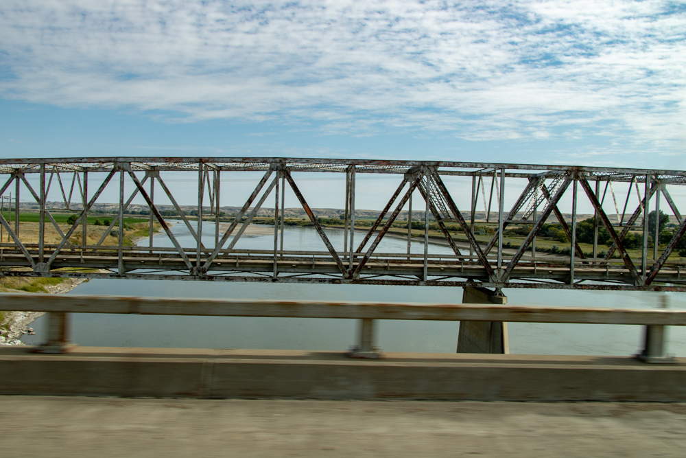
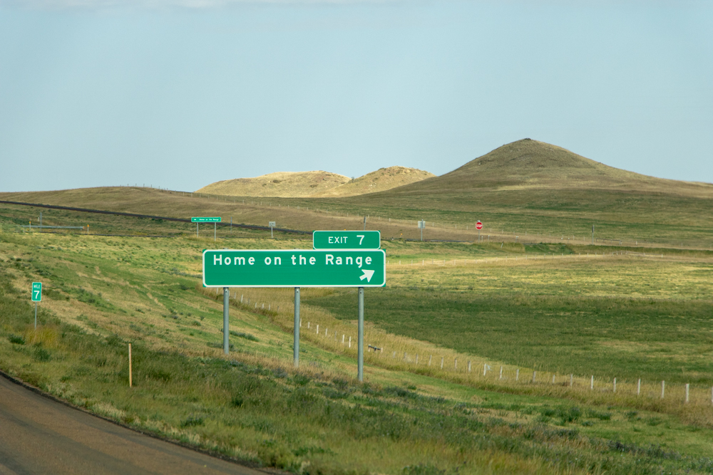
Casper, WY to Red Lodge, MT
- Day 4 (9.7.2018)
- Casper, WY to Red Lodge, WY - 282 miles (El 5,568 ft)
- The Pollard Hotel
- Red Lodge
- Visit Montana
- Montana Road Trips
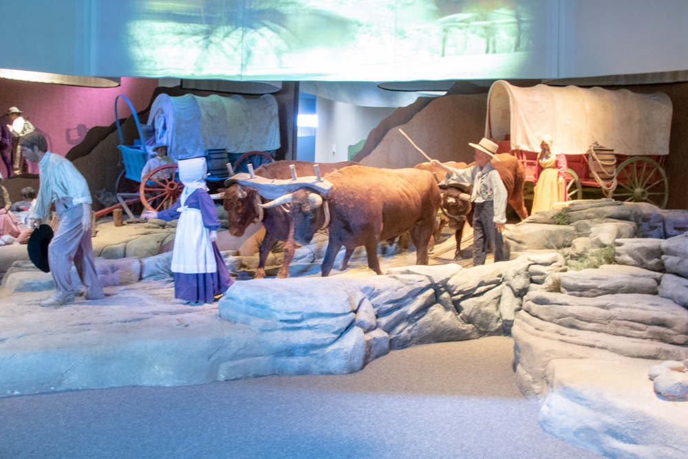
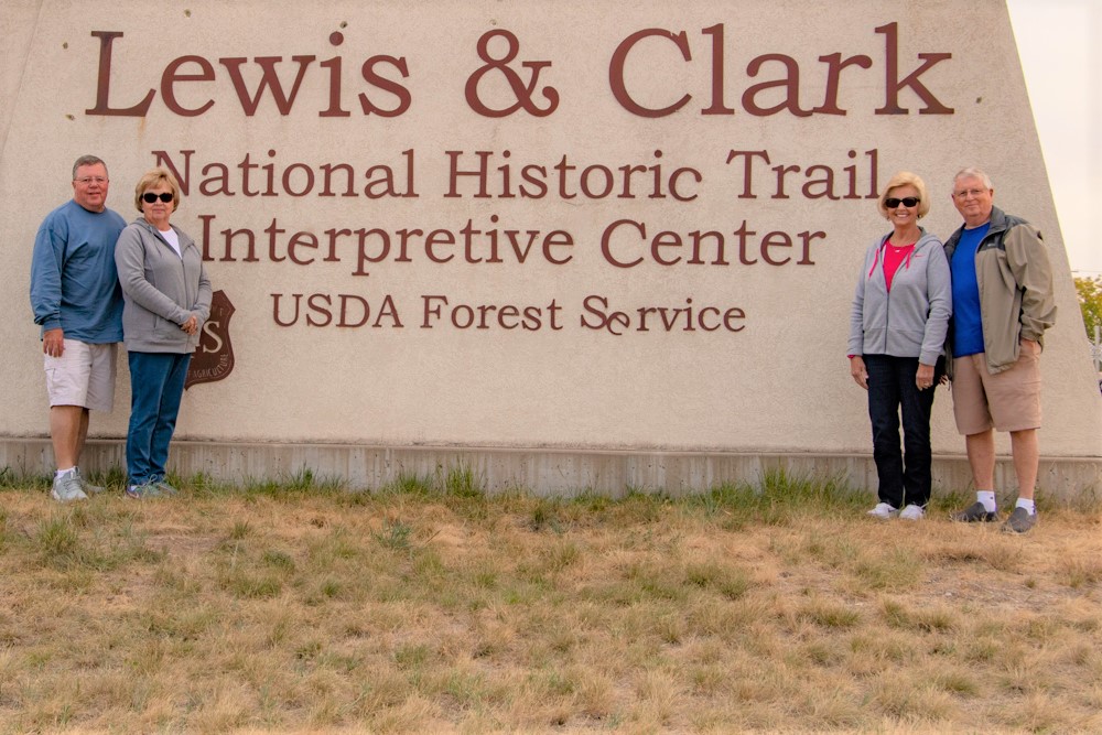
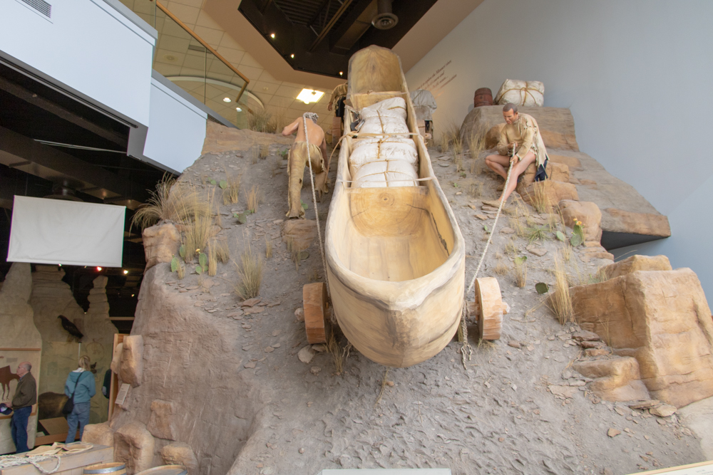
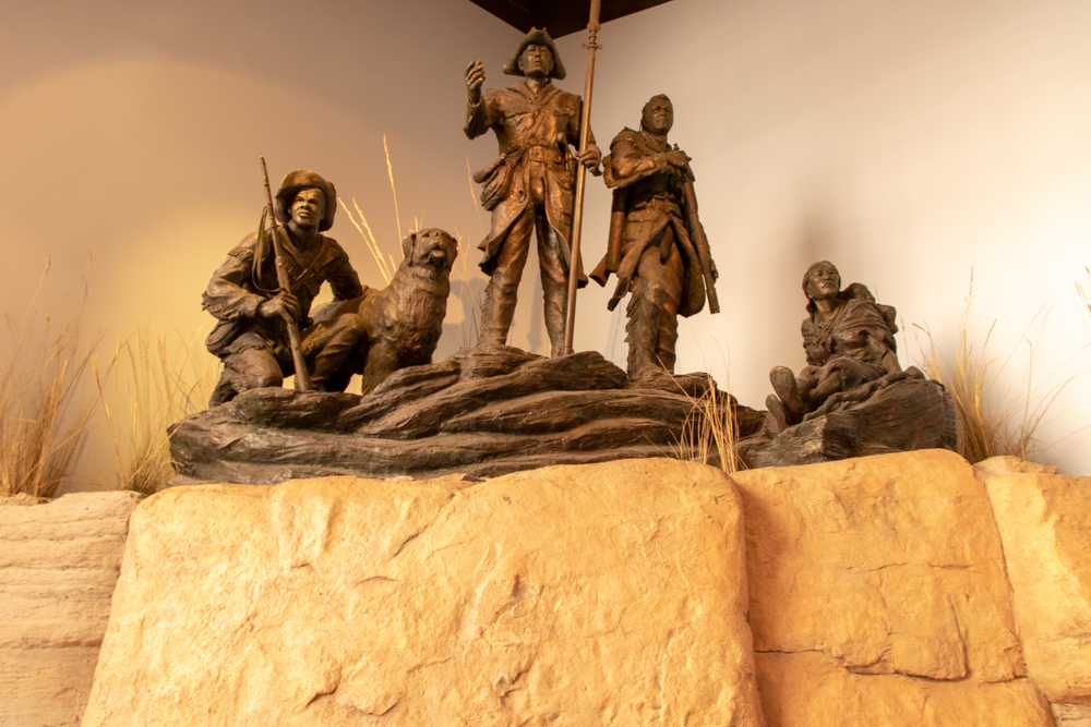
- National Historic Trails Interpretive Center (Casper)
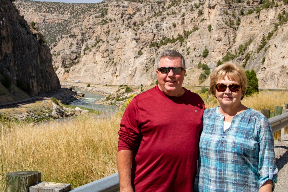
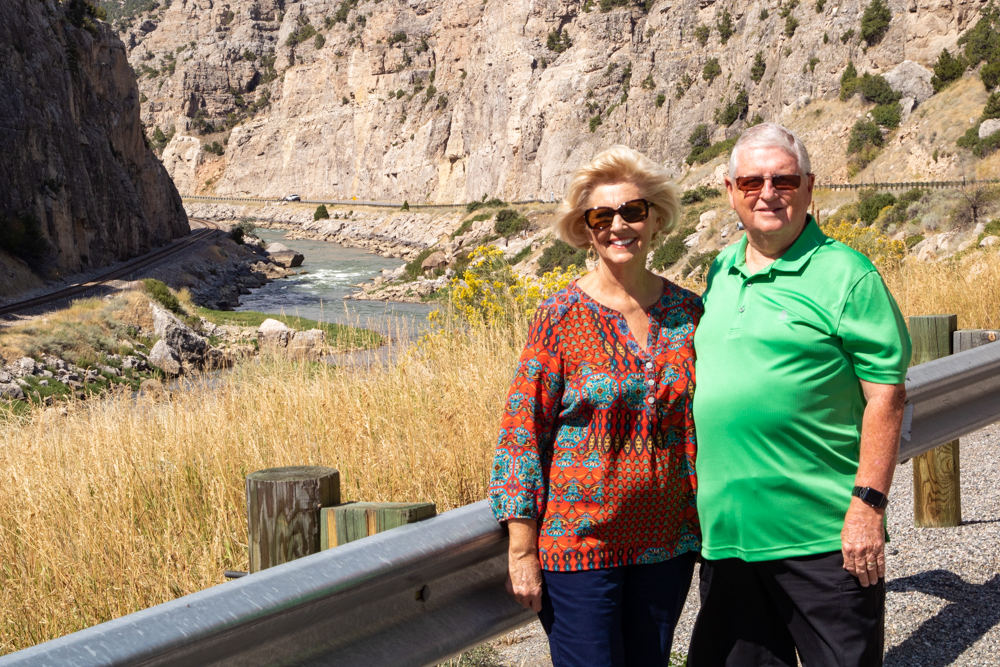
- Wind River Canyon Scenic Byway
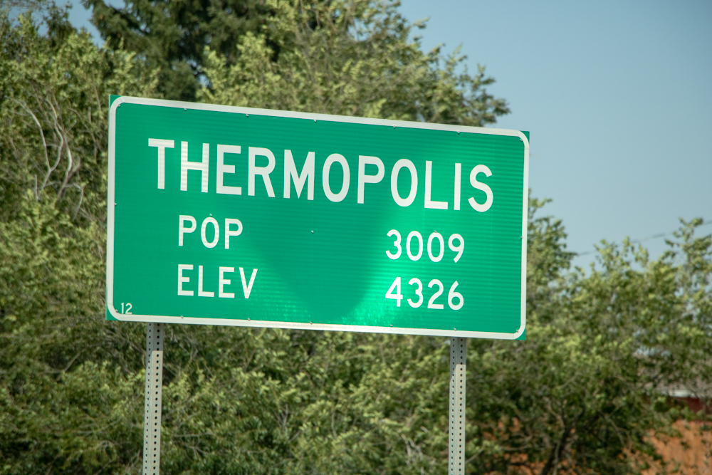
- Thermopolis, WY
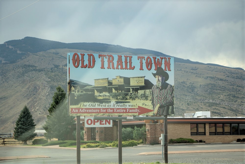
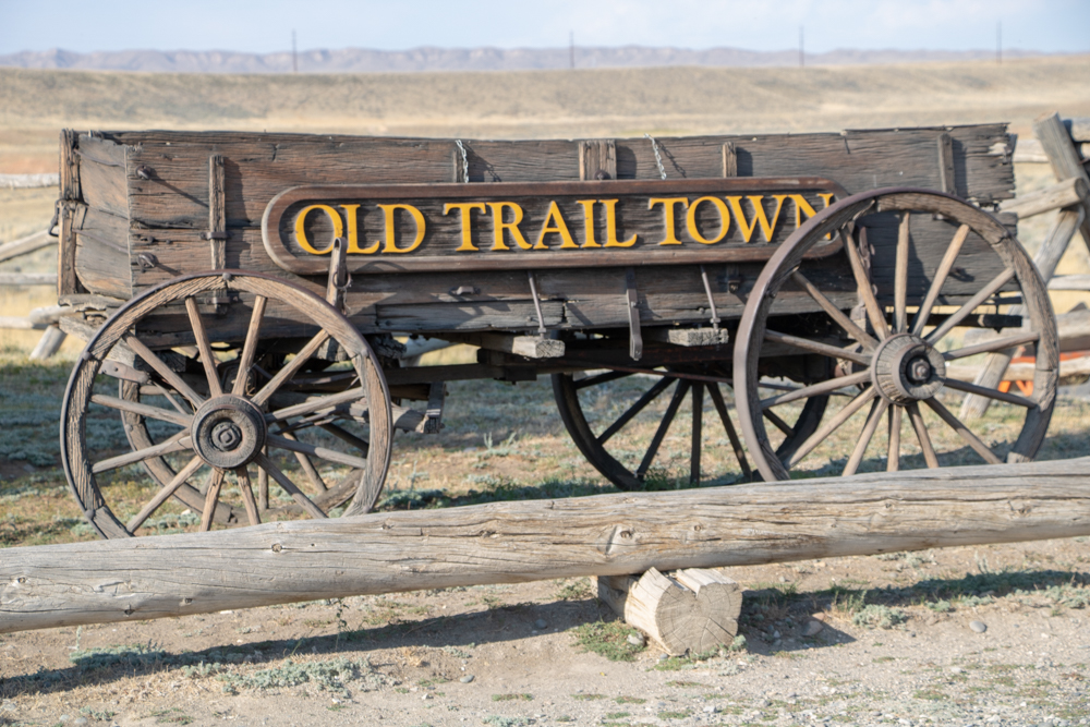
- Old Trail Town, Cody
- Bogart's Restaurant
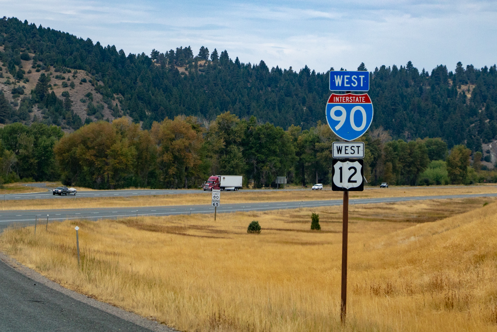
Red Lodge to Butte, MT
- Day 5 (9.8.2018)
Butte to Kalispell, MT
- Day 6 (9.9.2018)
Kalispell to East Glacier Park, MT
- Day 7 (May17)
- Kalispell to East Glacier Park, MT - 104 miles (El 4,823 ft)
- West Glacier Howe Fire
- West Glacier to East Glacier
- Goat Lick Overlook
- Trail of the Cedars
- Two Medicine Lodge
- Two Medicine Lake (11 miles)
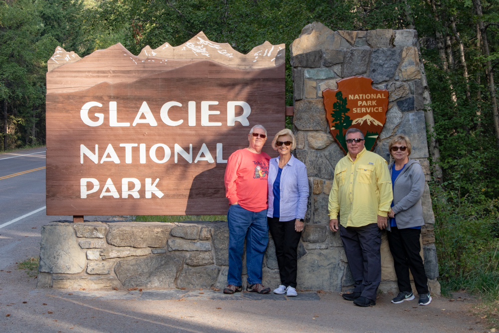
- Glacier National Park
- Glacier Guides
- Glacier - Local Adventurer
- Lake McDonald Lodge
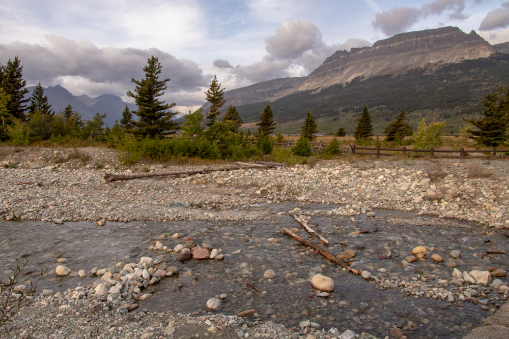
East Glacier to St Mary to Many Glacier
- Day 8 (9.11.2018)
- East Glacier to St Mary to Many Glacier - 86 miles (El at Logan Pass 6,646 ft)
- Going to the Sun Road
- Red Bus Tours
- Redrock Falls
- East Glacier to St Mary
- St Mary to Many Glacier
East Glacier to Billings, MT
- Day 9 (9.12.2018)
- East Glacier to Billings, MT - 361 miles (El 3,123 ft)
- Residence Inn
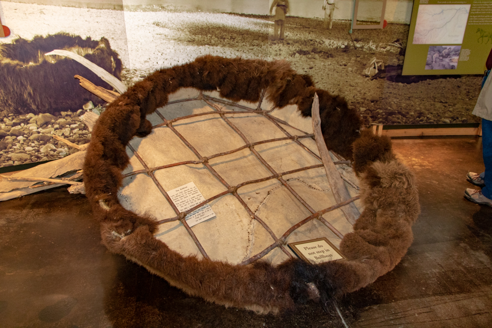
- Museum of the Plains Indians - Browning
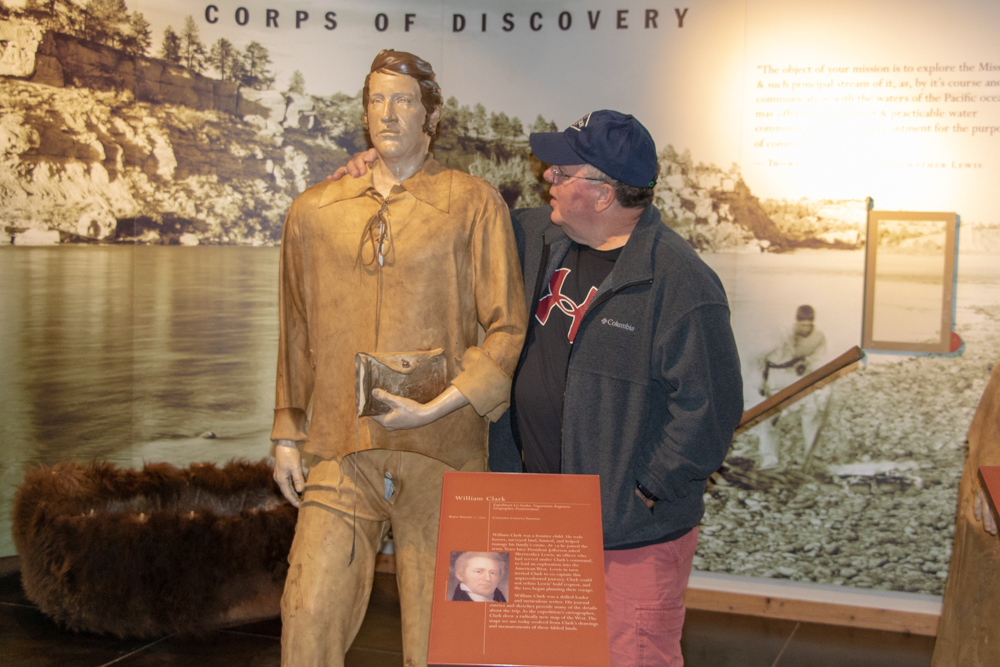
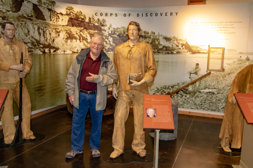
- Lewis & Clark Center - Great Falls
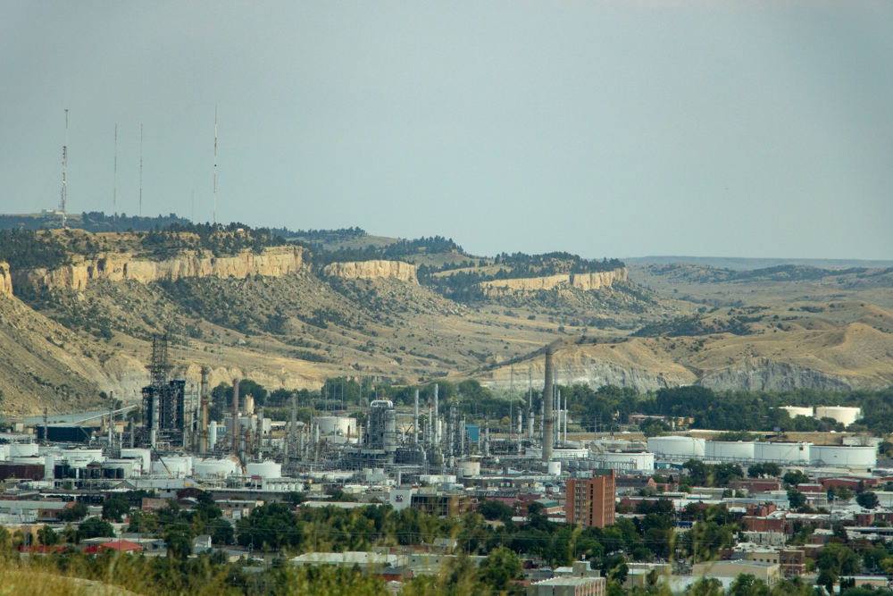
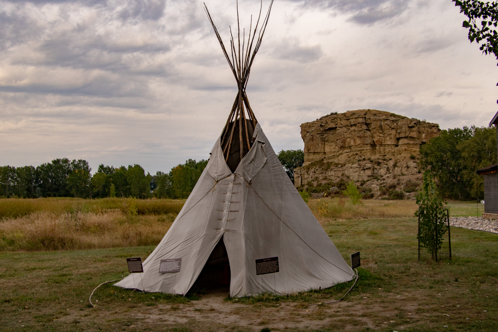
- Billings, MT
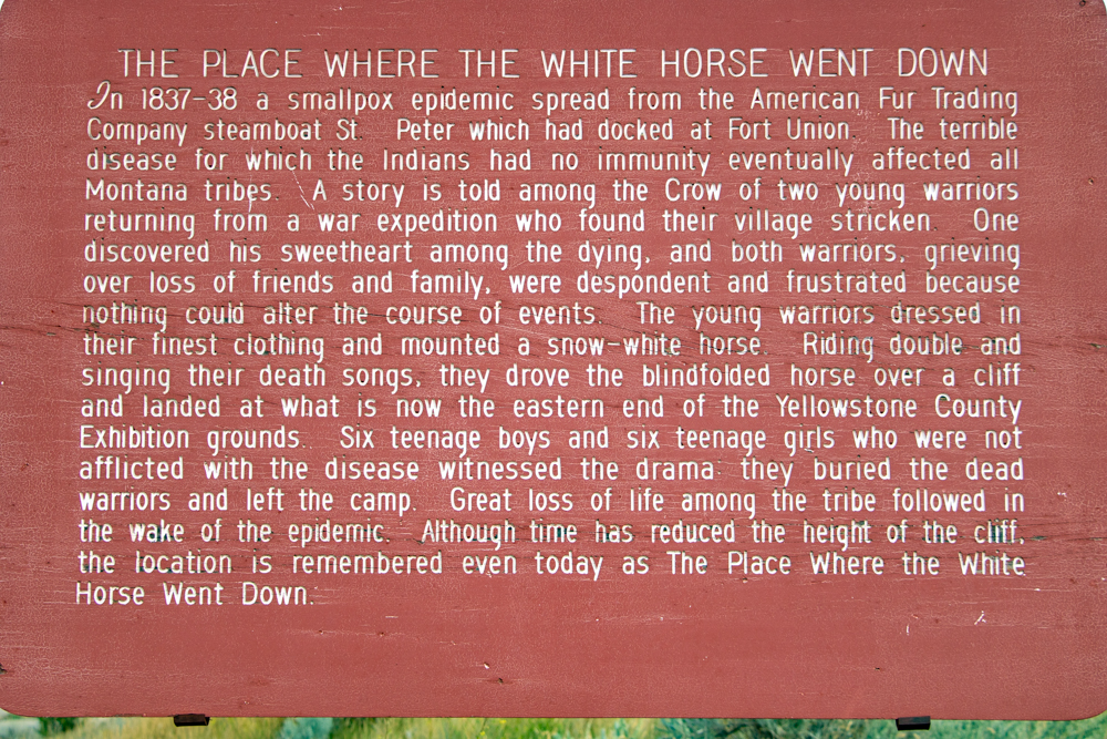
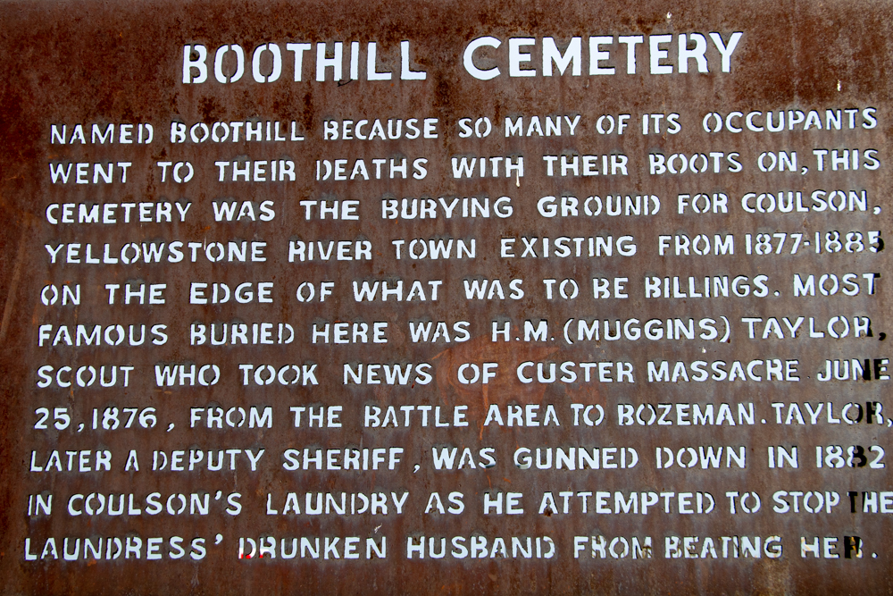
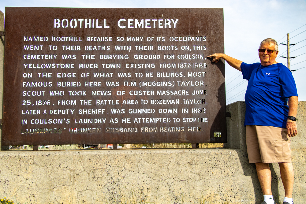
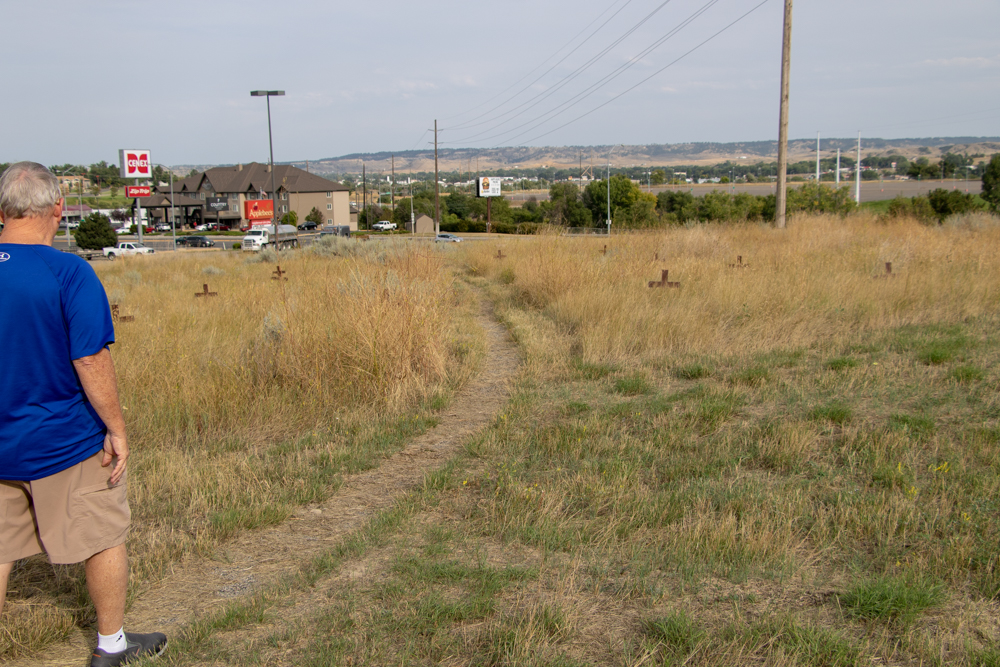
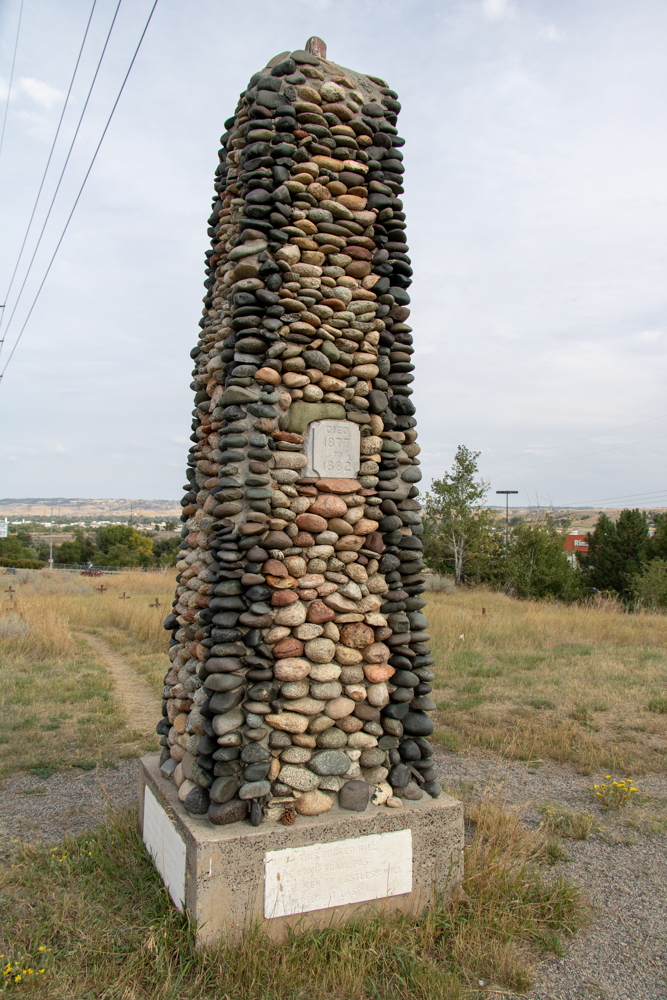
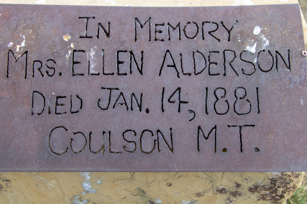
- Coulson, MT
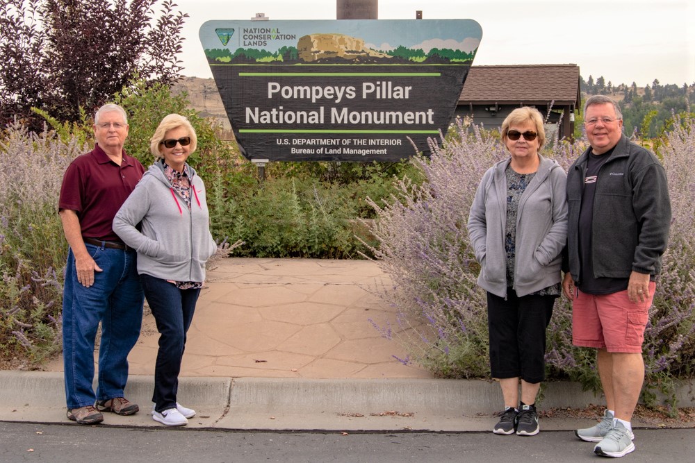
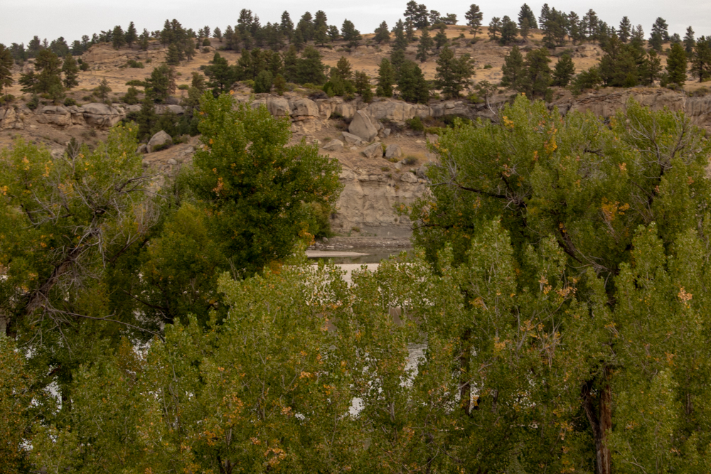
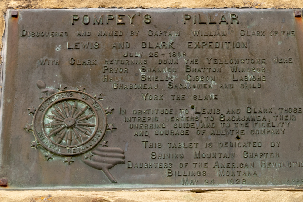
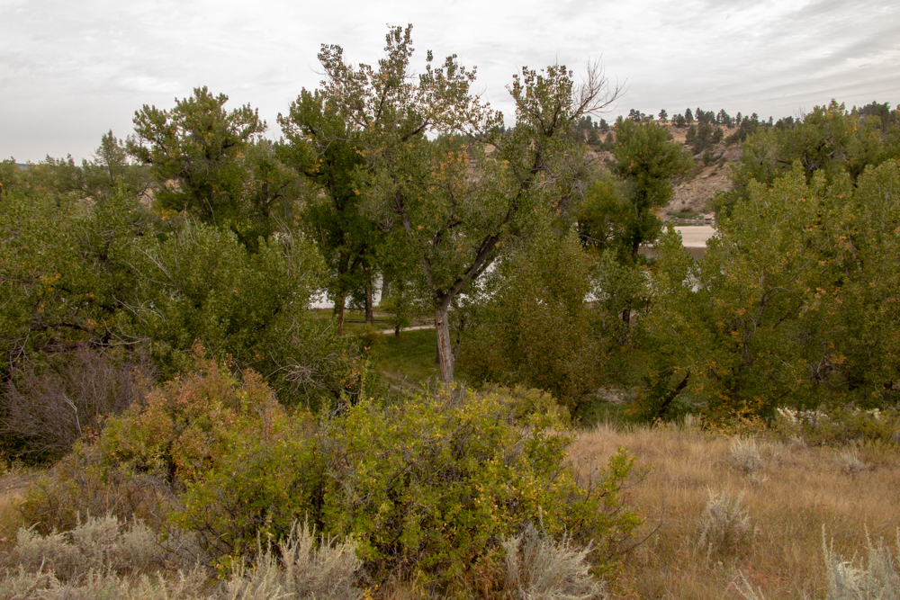
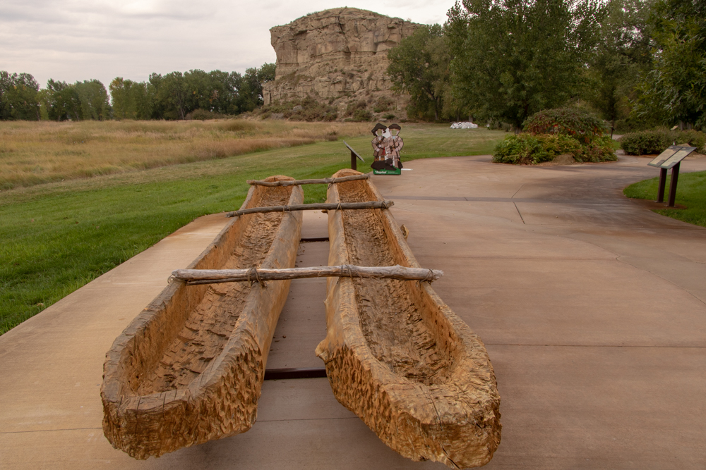
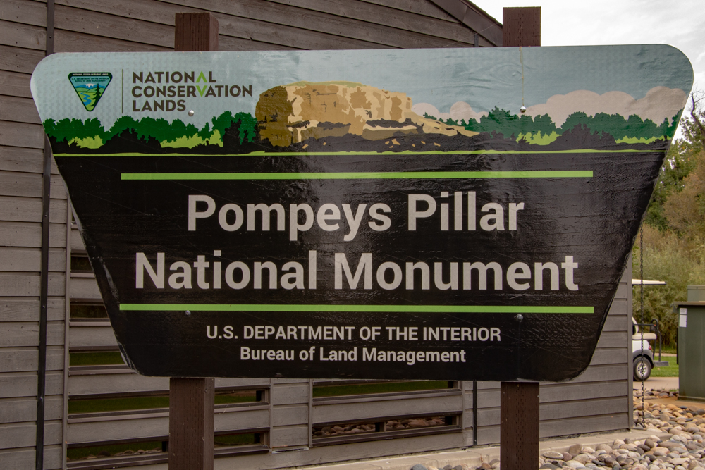
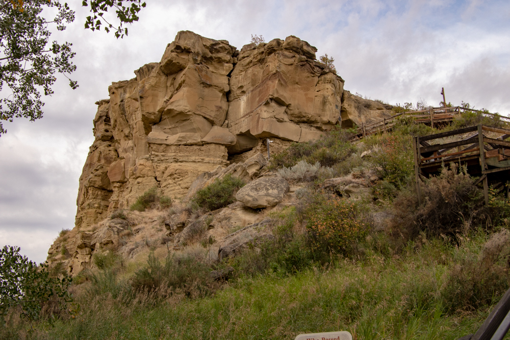
- Pompeys Pillar
- Pictograph Cave
- Western Heritage Center
Billings, MT to Roosevelt NP, Medora, ND
- Day 10 (9.13.2018)
- Billings, MT to Roosevelt NP, Medora, ND - 360 miles (El 2,267 ft)
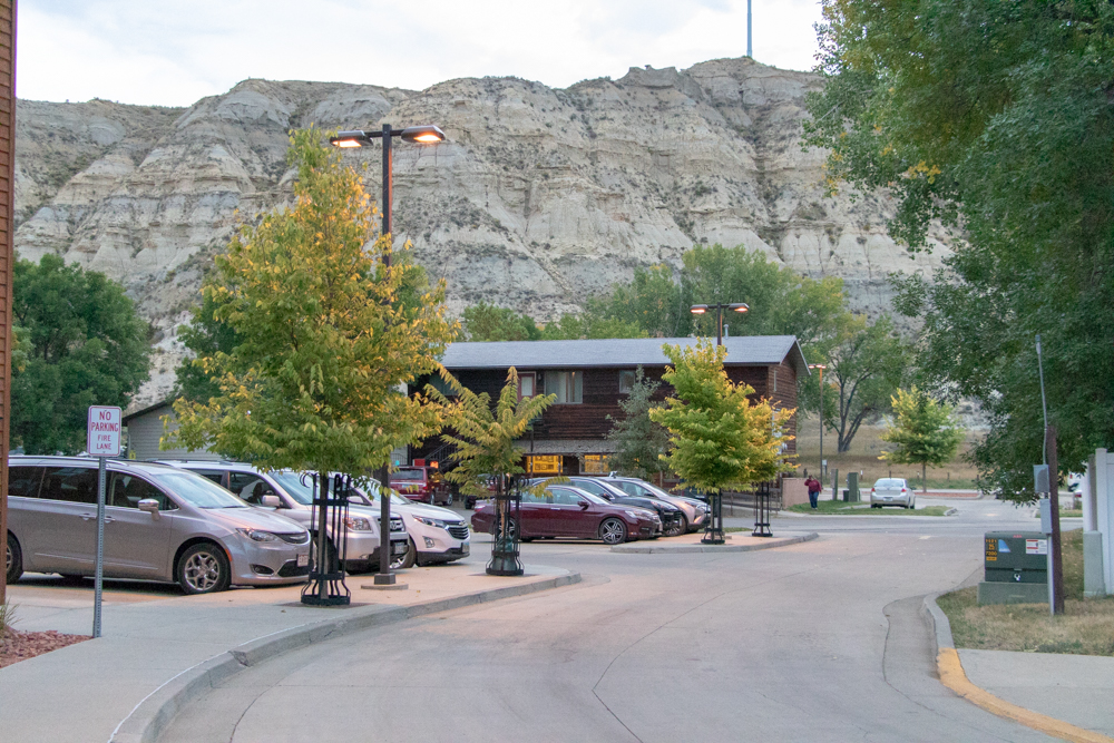
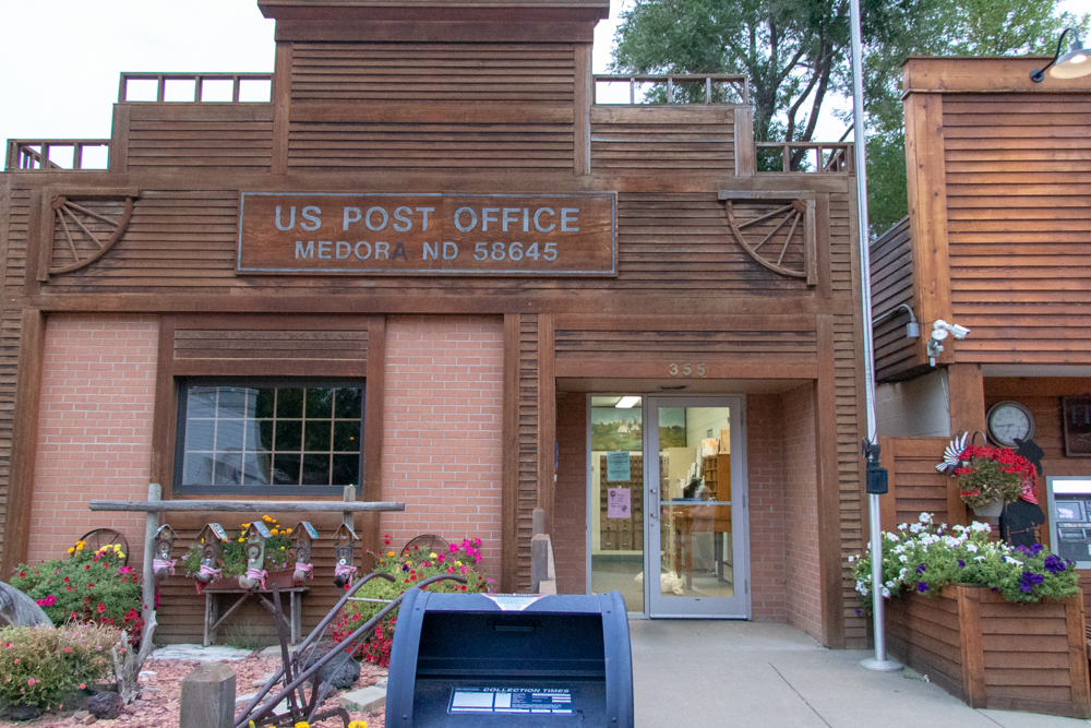
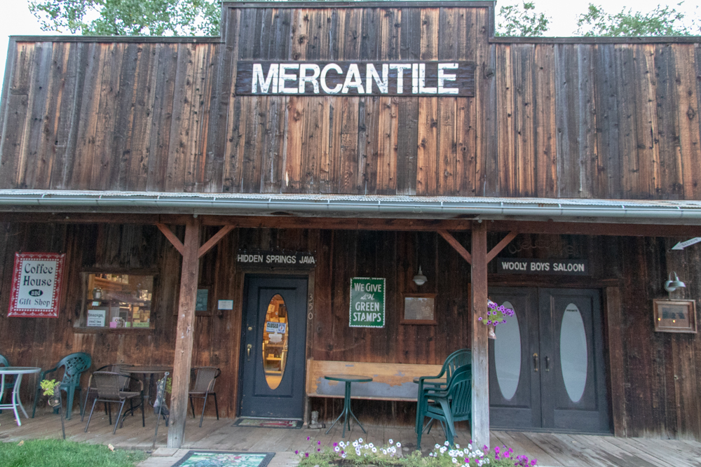
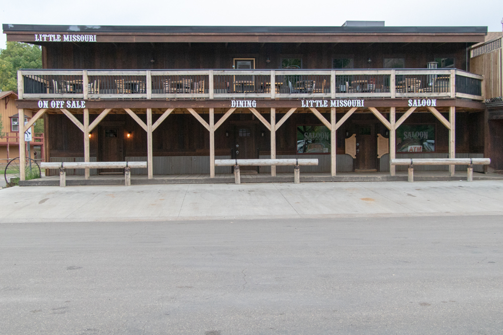
- Medora, ND
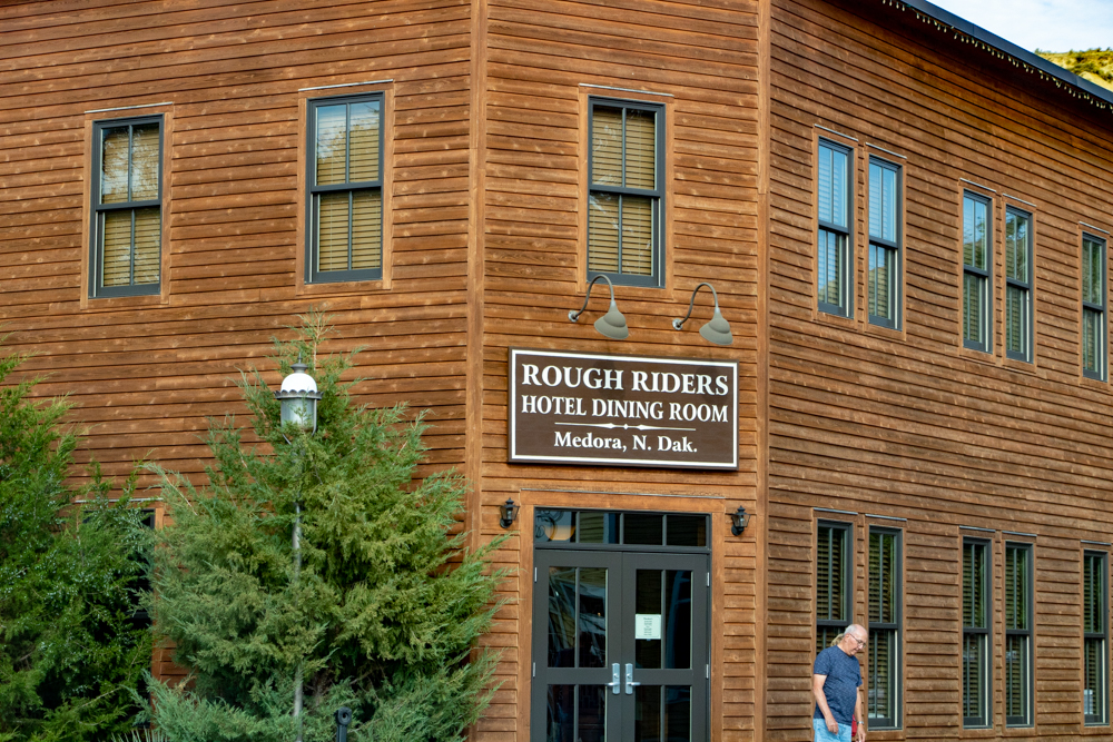
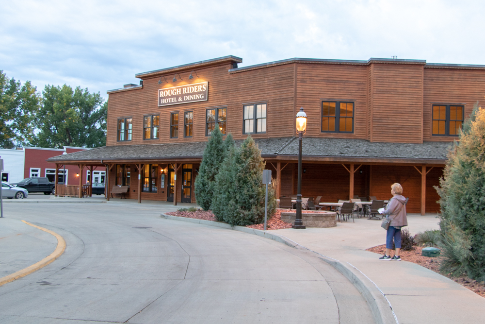
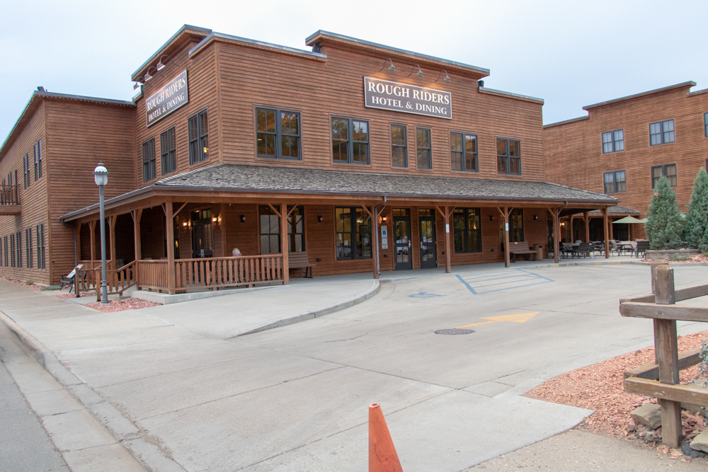
- Rough Riders Hotel
- Pompey's Pillar
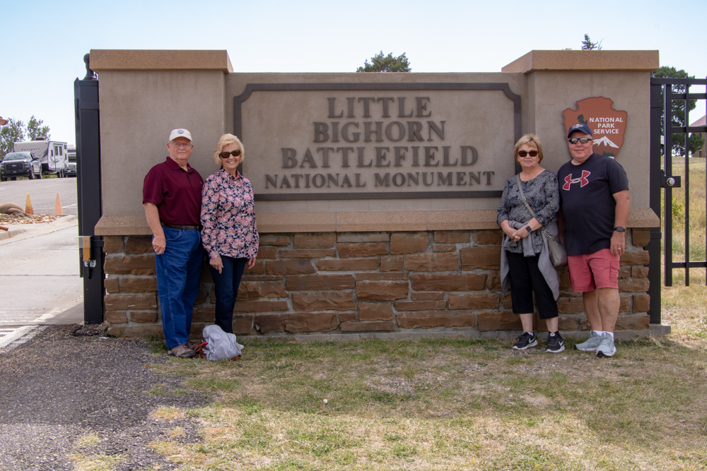
- Little Big Horn National Monument
- Custer Museum
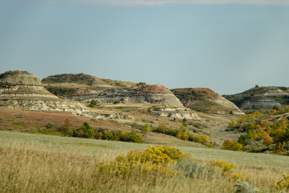
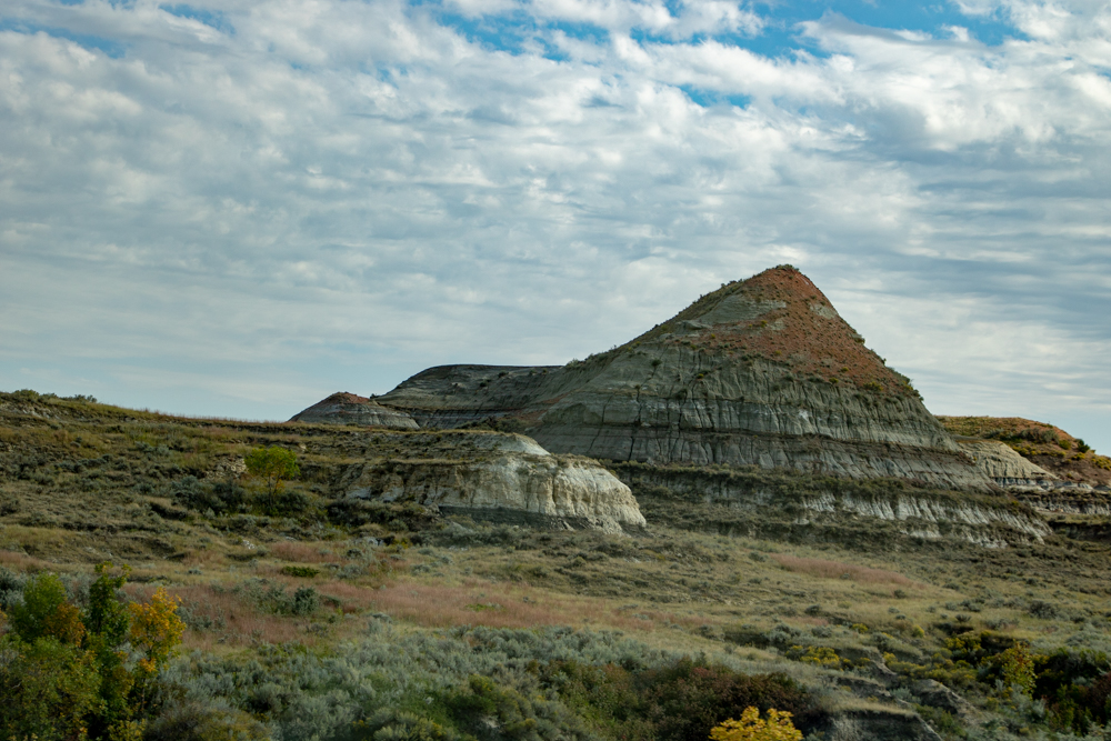
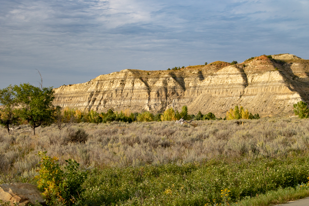
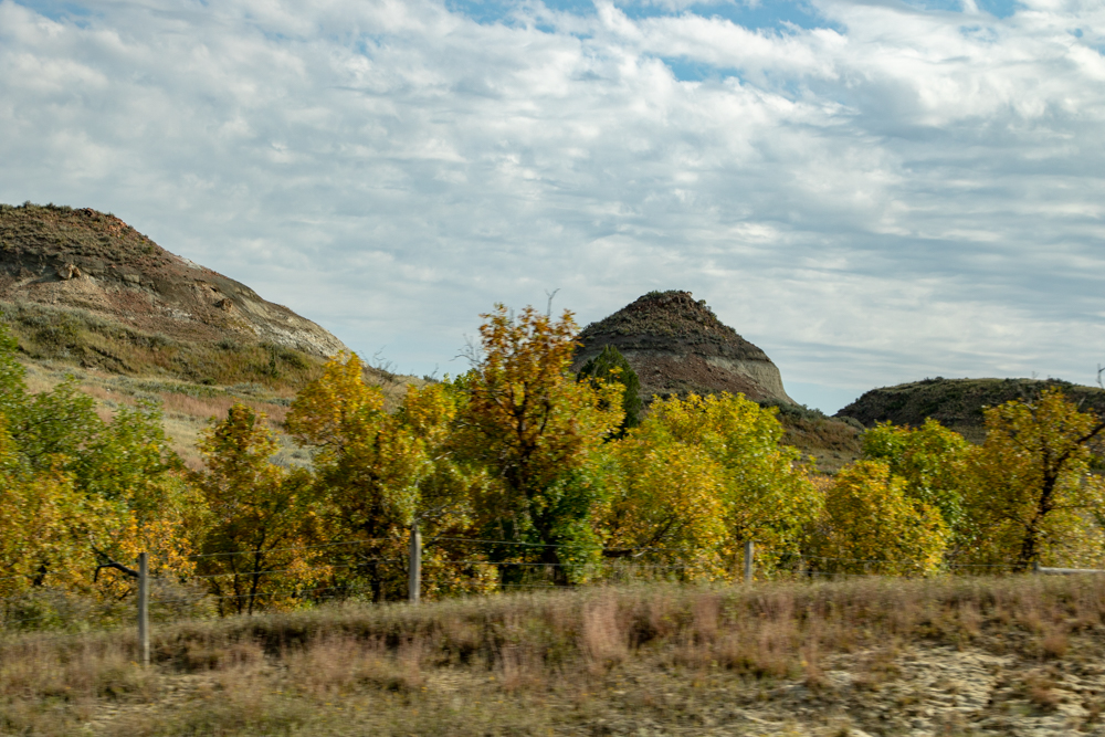
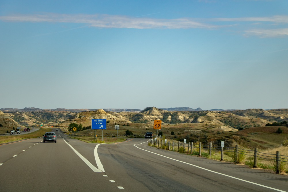
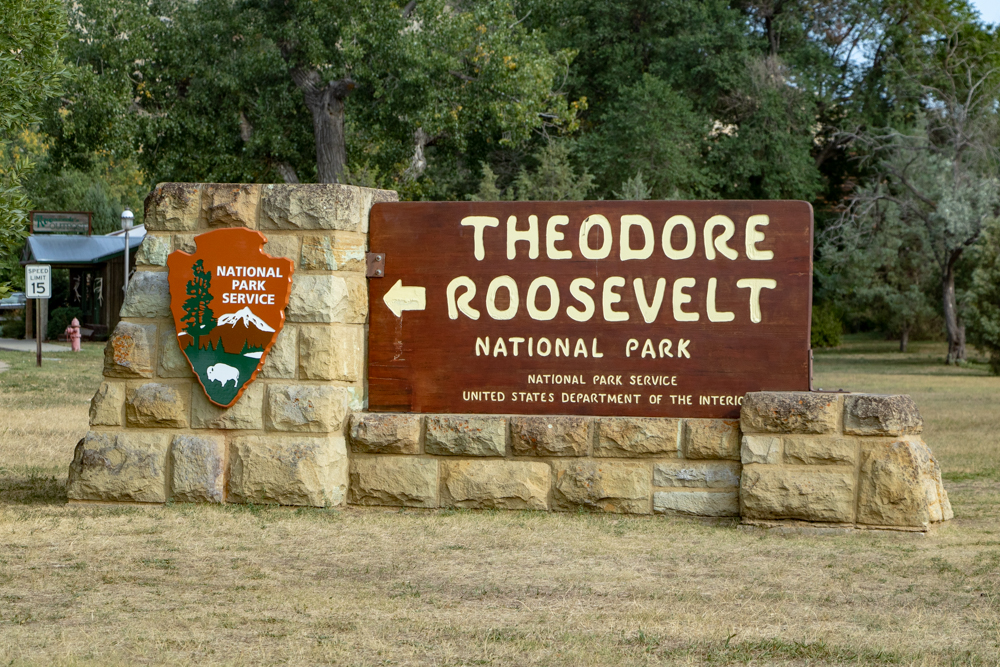
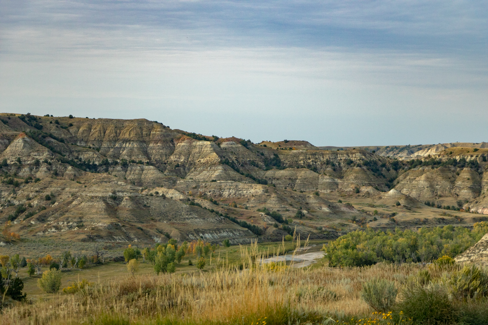
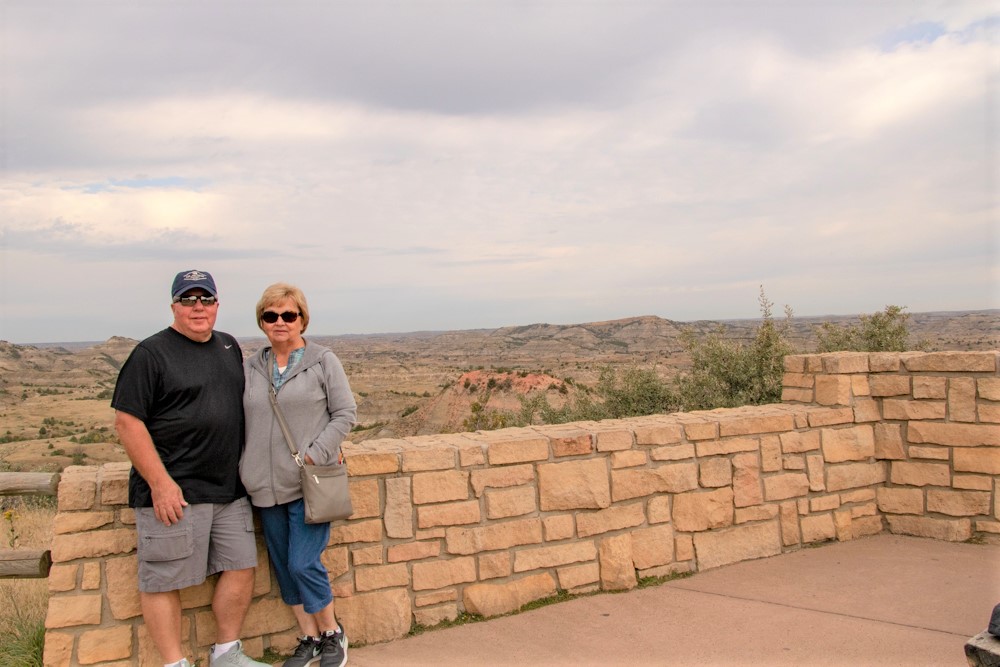
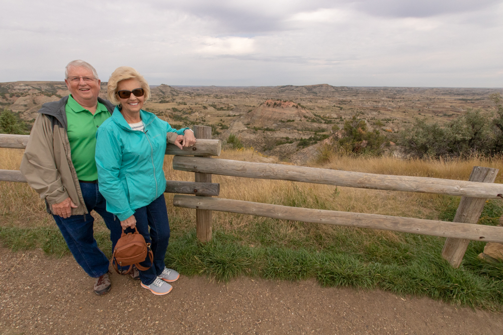
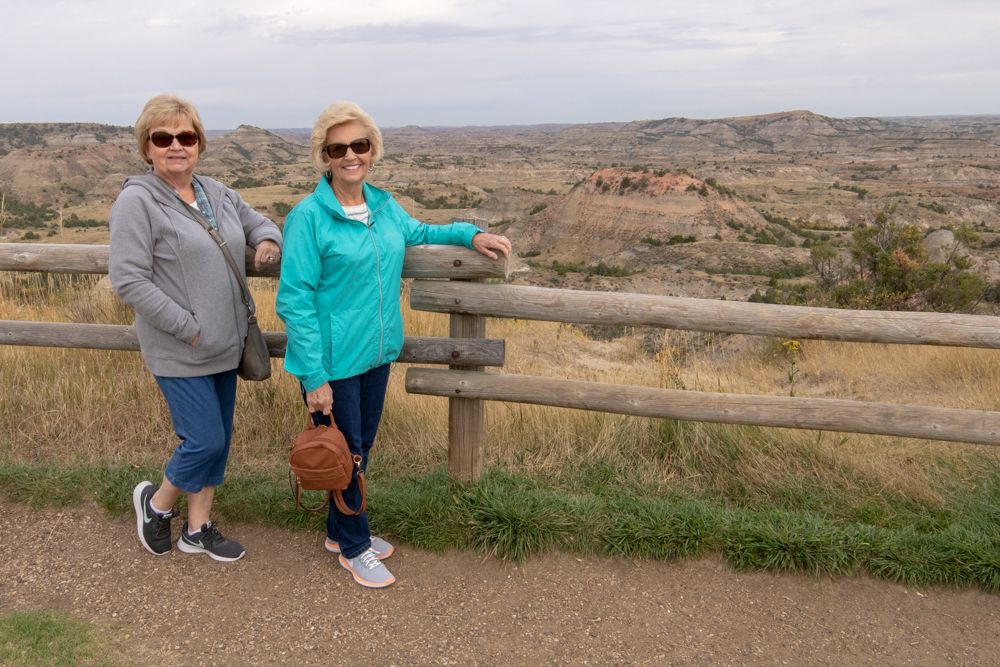
- Theodore Roosevelt National Park
- TRNP South Visitors
Medora, ND to Spearfish, SD
- Day 11 (9.14.2018)
- Medora, ND to Spearfish, SD to Devils Tower - 324 miles (El 3,648 ft)
- Fairfield Inn
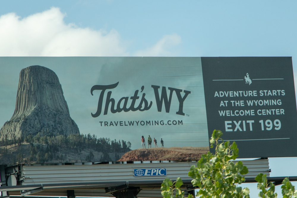
- Devils Tower, WY
- Spearfish, SD
- Buffalo Jump Steakhouse - Beula
Spearfish, Mt Rushmore, Crazy Horse, Deadwood
- Day 12 (9.15.2018)
- Spearfish, Mt Rushmore, Crazy Horse, Deadwood - 174 miles (El 2,267 ft)
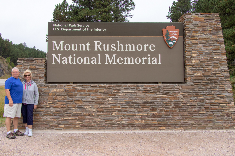
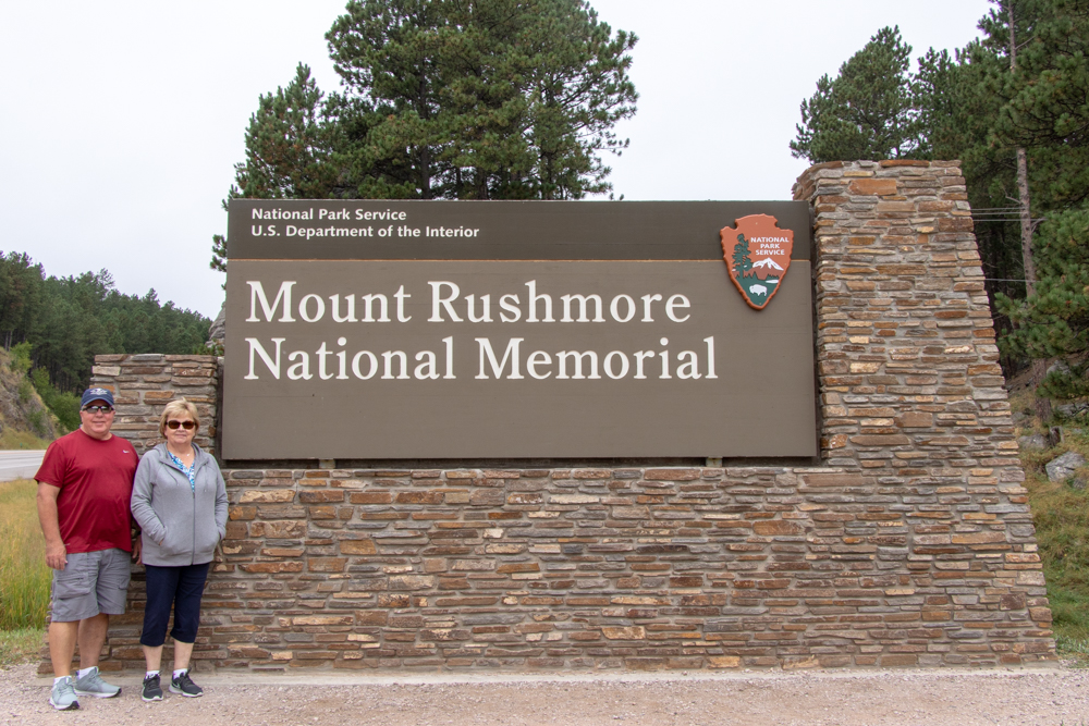
- Mount Rushmore
- Crazy Horse
- Cheyenne Crossing
- Deadwood
- Wall Drug
- Badlands
- Black Hills
Spearfish, SD to Denver, CO
- Day 13 (9.16.2018)
- Spearfish, SD to Denver, CO - 403 miles (El 5,280 ft)
- Towne Place
Denver, CO to Smyrna, TN
- Day 14 (9.17.2018)
- Flight home
- Southwest Airlines
Blog
2018 West - Day 1 - Tue, 9.4.2018
Smyrna, TN to Cheyenne, WY
Now to start the West trip for 2018. We’re full of cortisone and Patsy has her crown temporarily pasted in after it fell out on Saturday. There are NO dentists that work on weekends or Labor Day. We made it to FlyAway, parked the truck and made it to the airport. David made it through security – thought for a few minutes he was going to go to jail because he had gum and his wallet in his pocket. Gwen had to go back through x-ray because she had her cell phone in her pocket.
We had a delicious and healthy breakfast at Burger King! We made it to the gate by 9:30 for a 10:35 boarding. Flight was on-time and we landed in Denver 20 minutes ahead of schedule. After grabbing the luggage and picking up the rental car we headed north for Wyoming.
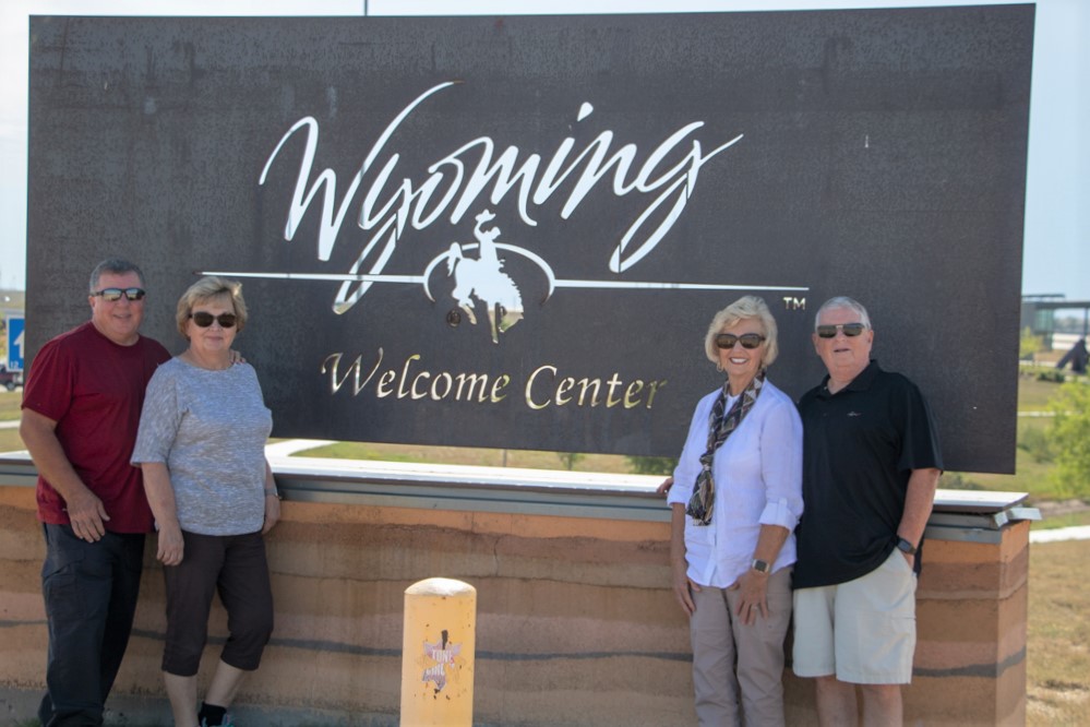
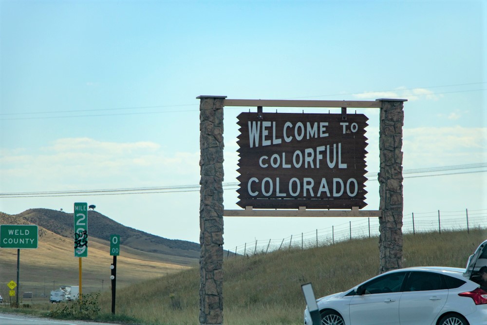
We stopped at the state line (both sides) and got the normal Colorado and Wyoming welcome pics. We got to the hotel in Cheyenne and then drove 15 miles west out of town to the Bunkhouse Bar and Grill. We had a great meal of chicken fried steak and porkchops.
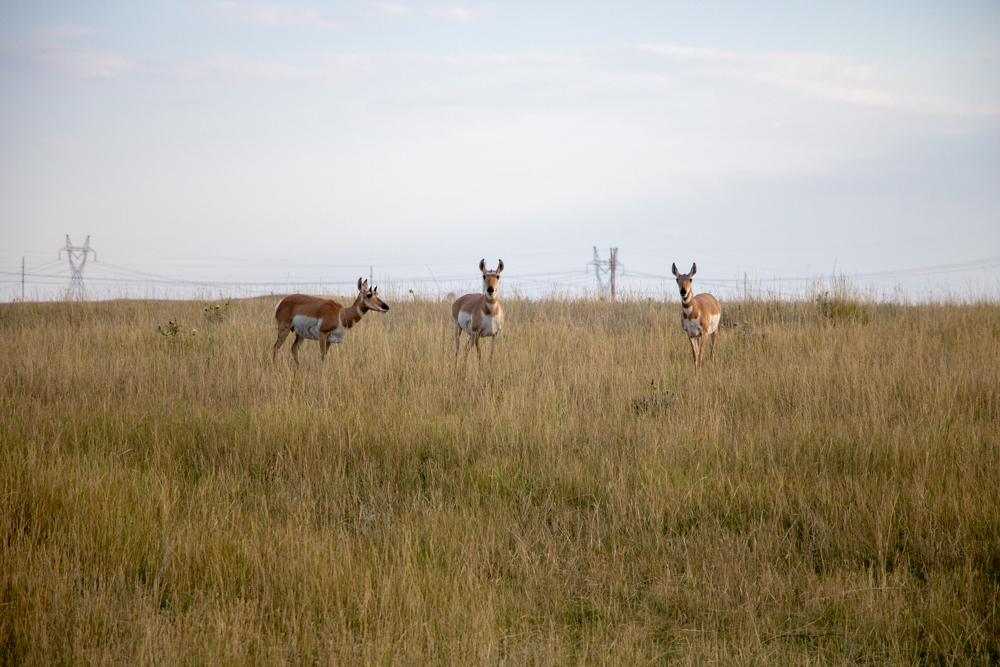
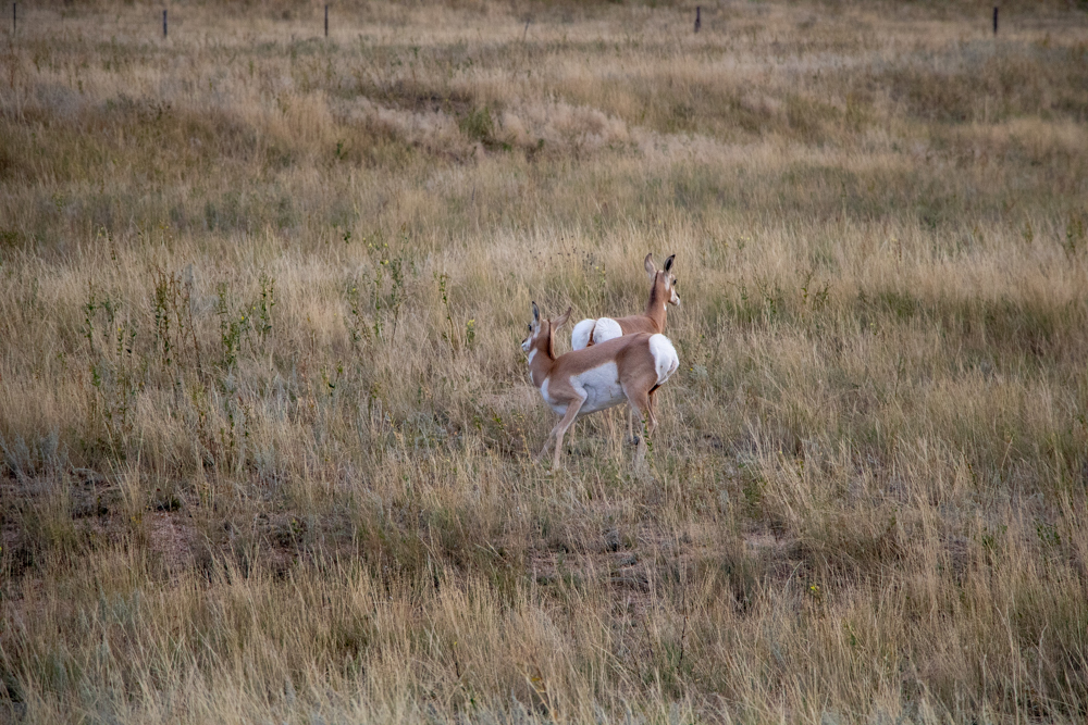
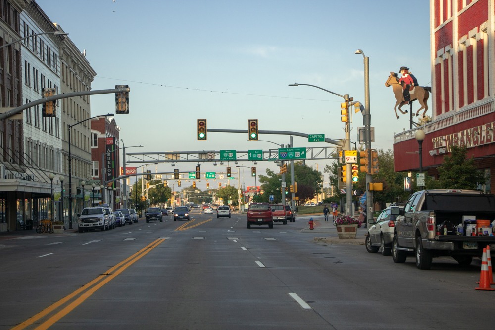
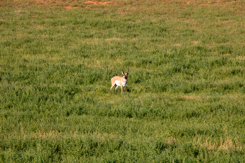
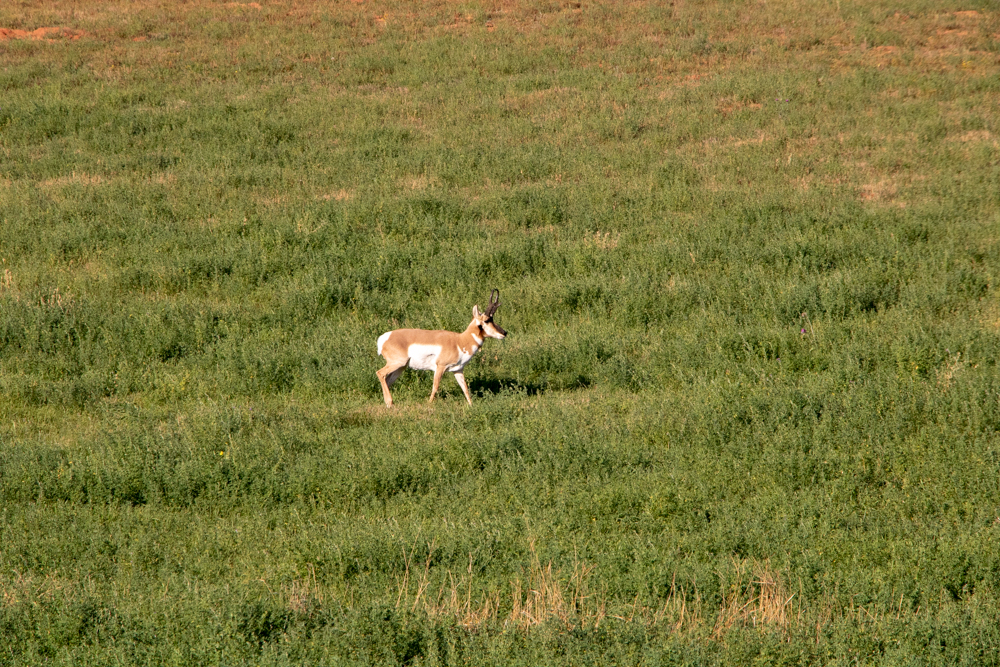
We headed back to Cheyenne, took a couple of photos of the prairie landscape and some cattle and pronghorns. We drove through downtown Cheyenne and made our plans for Wednesday.
2018 West - Day 2 - Wed, 9.5.2018
Cheyenne, WY to Laramie, WY
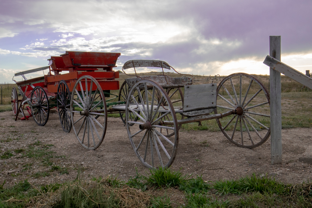
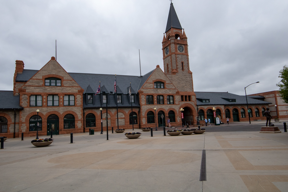
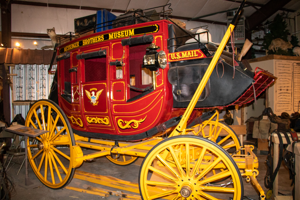
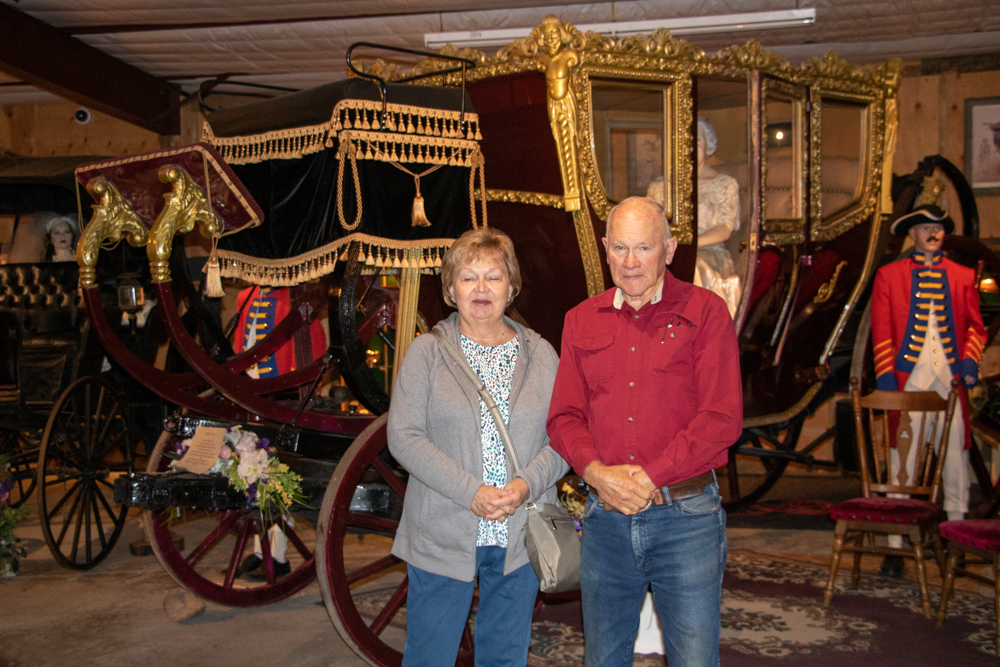
We got up in Cheyenne to a cool, damp 51 degrees. We had breakfast, loaded up the car with plans to drive around town and meet up at the Cheyenne Depot for a Trolley Tour of Cheyenne at 10:00. To kill time we found the Messenger Old West Museum, a privately owned museum owned by Charlie Messenger. We went in and Charlie gave us a personal tour of his old wagons and talked to us about his Percheron horses and winning the world championship in 2015 and 2016 for 6 hitch team. He had a video he had made himself when he and 5 other people had gone to the 4 corners starting at Mexican Hat looking in John Canyon for the Anasazi Indians. The wagon they took was on display in the museum. It was great to see the wagon but to hear the story that went with it from Charlie was even better.
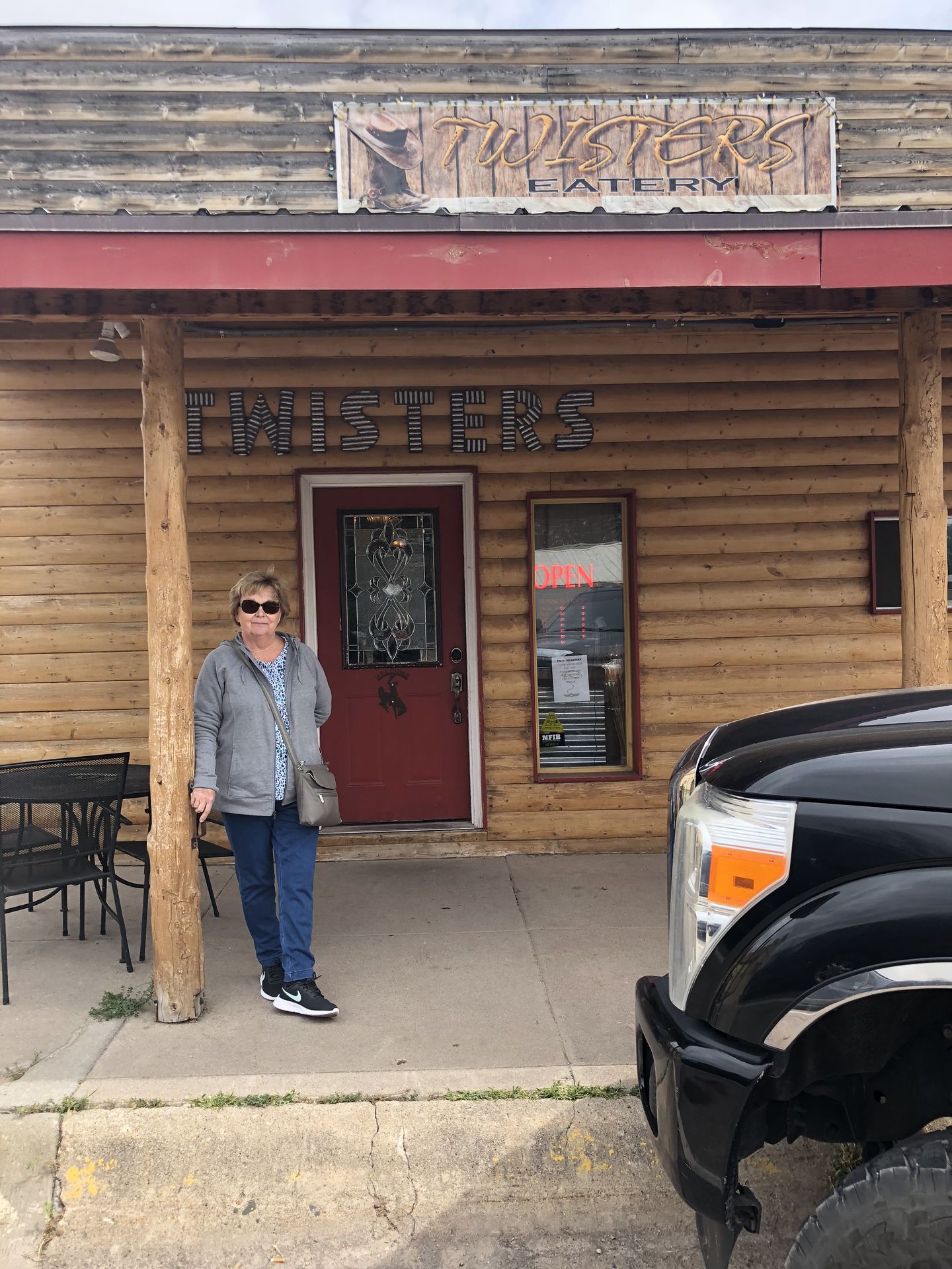
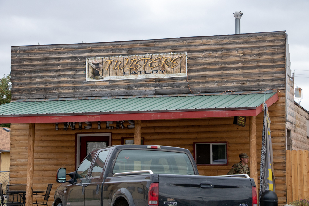
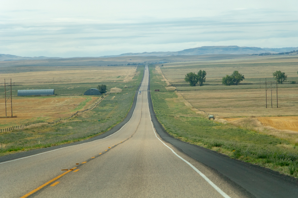
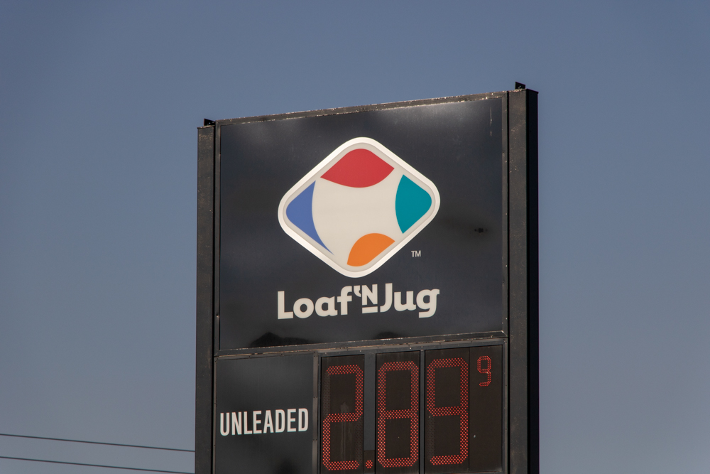
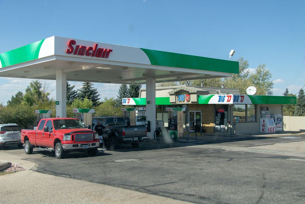
We took I-25 N out of Cheyenne toward Guernsey. I love the speed limits - 80mph on the interstate and 70 mph on all 2 lane roads. It is interesting some parts of the interstate have poles (like at railroad crossing) that come down when winds or snow drifts make it dangerous for truckers. The crosswinds can be up to 80 mph. We made it to Guernsey by noon and stopped at a nice little Mom and Pop restaurant called Twisters Eatery - great food and friendly people. Come to think of it, everyone we have met in Wyoming have been downright friendly and courteous.
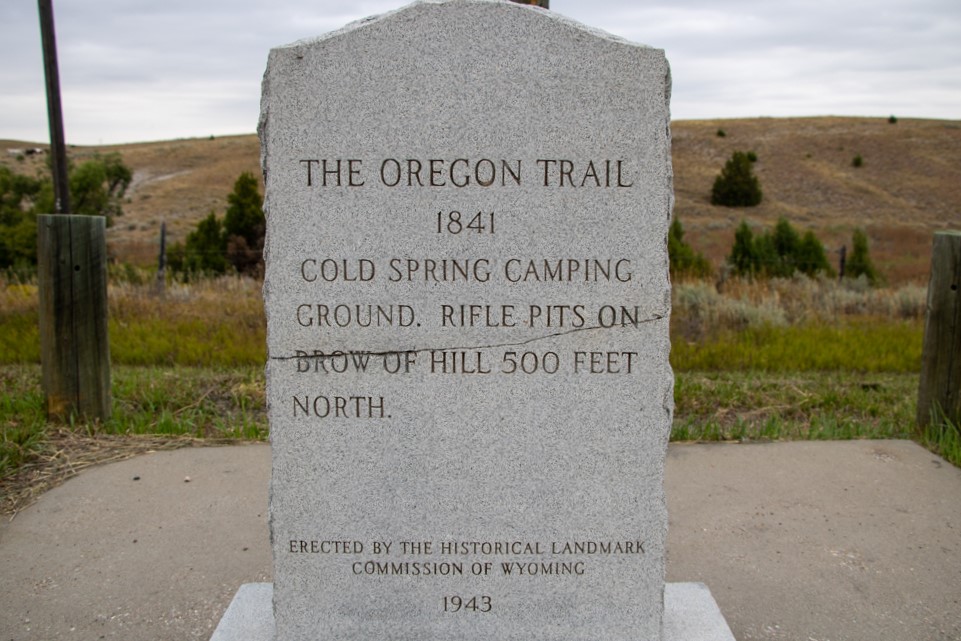
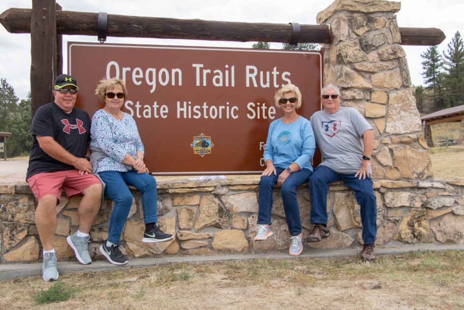
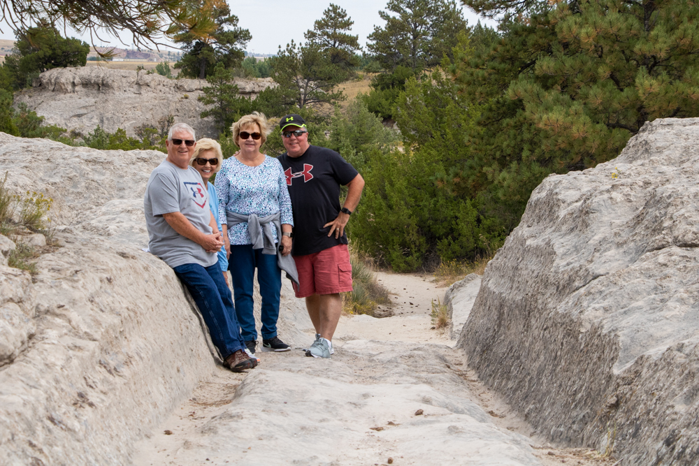
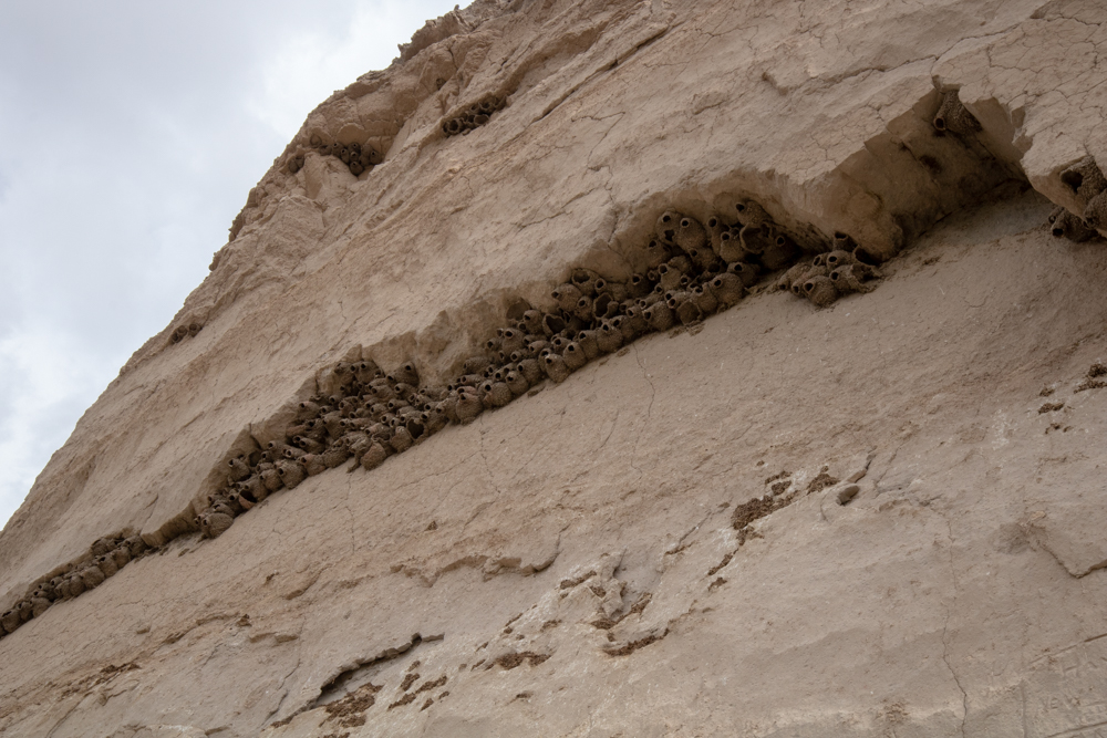
We got directions and headed over to the Guernsey Ruts. The ruts were formed when the wagon trains crossed over the soft sandstone trails and cut “ruts” into the rock.
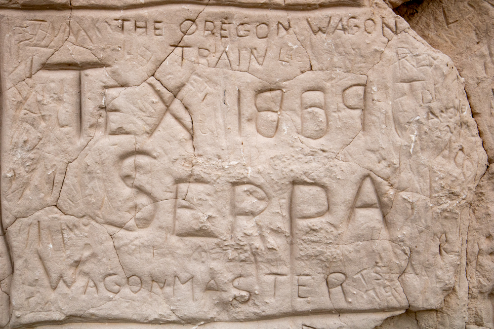
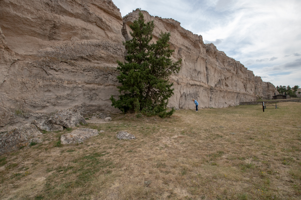
We left the ruts and drove a couple of miles to the Register Cliffs. The cliffs are covered with names of people who passed through on the Oregon Trail to mark how far they had made it on their journey.
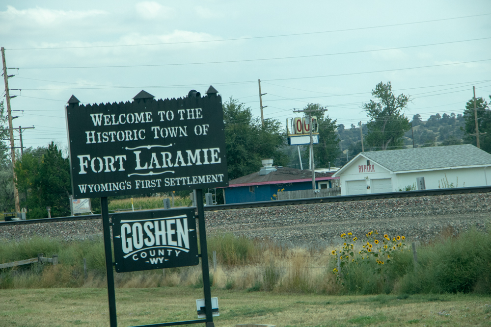
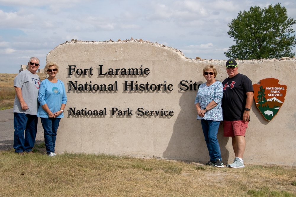
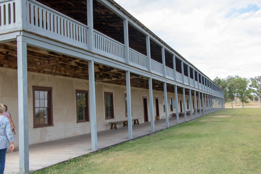
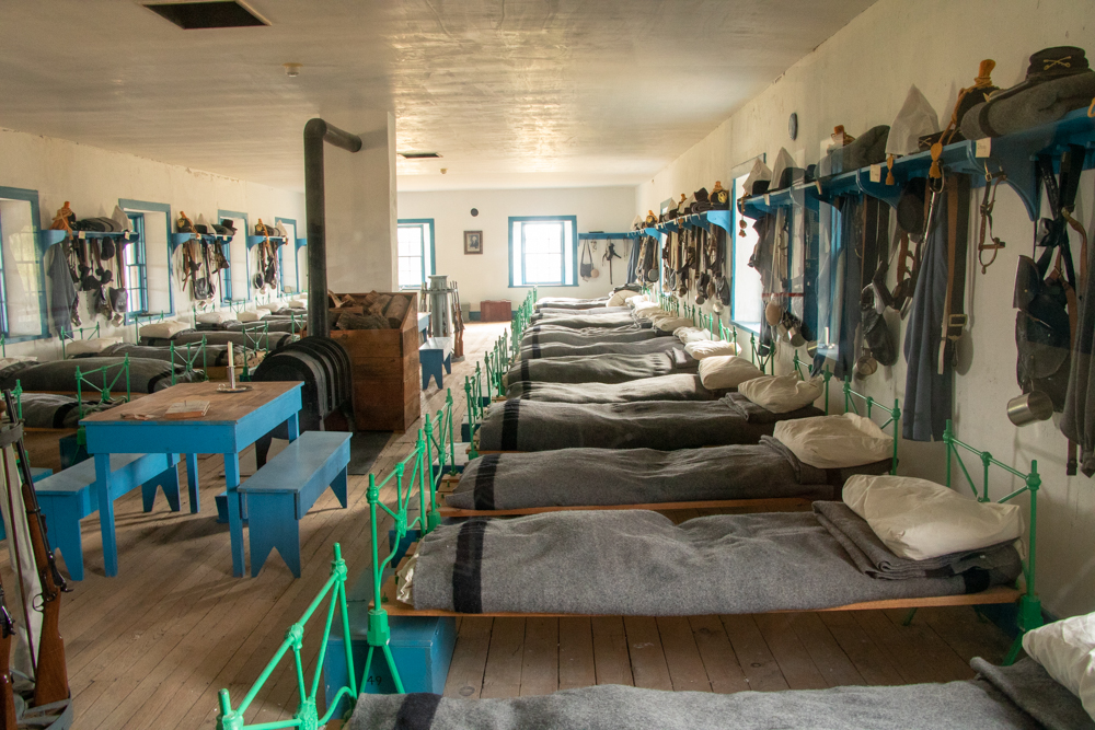
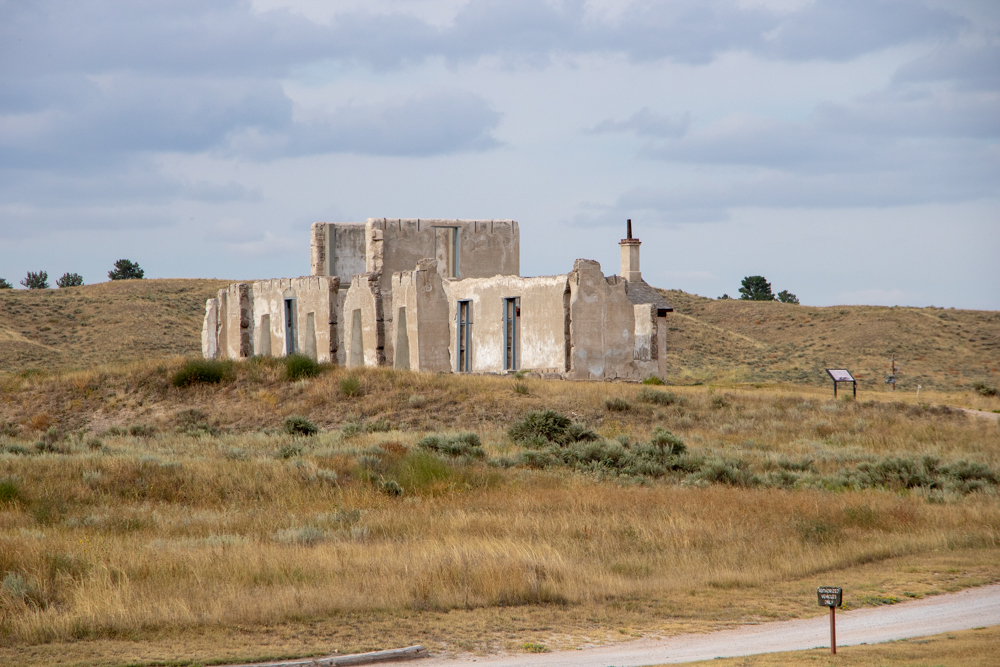
We left the cliffs and drove out to the the Fort Laramie National Monument. Fort Laramie was purchased and expanded by the US Government to protect the settlers and to provide restocking, short rest and repairs. The fort eventually closed, fell in disrepair. The NPS bought the fort and has refurbished many of the buildings. We watched a short movie on the history of the fort and walked around the park. One of barracks had all of the bunks with boots under the bed, lockers at end of bed with clothes and arms hanging on the hooks. They had a store with all the goods the settlers, Indians and soldiers would purchase or could trade their furs. NPS had done a great job.
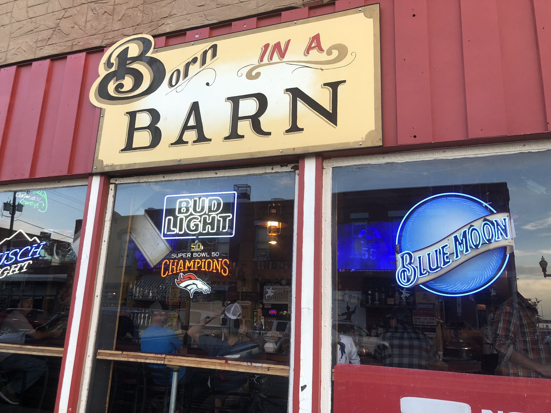
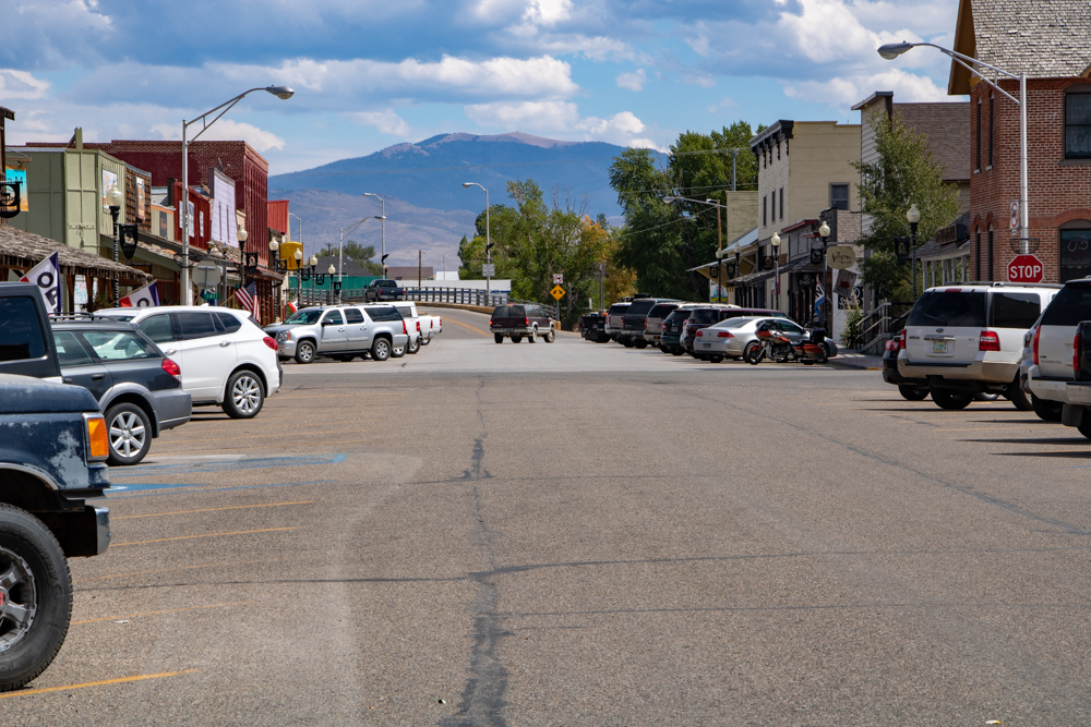
Running late we headed toward Laramie 120 miles away. We stopped in Wheaton and got gas at Sinclair - $2.99/gallon. We exited off I-25 and onto WY-34 and drove through the Laramie Mountains - a beautiful drive. Arriving in Laramie we drove to Old Town Laramie and had dinner at the "Born in the Barn", chowing down on great burgers and wings. We left dinner and tried to find Tumbleweed (a façade of an old western town hidden behind a Phillips 66 station) so Gwen could buy a postcard. The station was closed so we headed to the hotel to check in). Until next time.
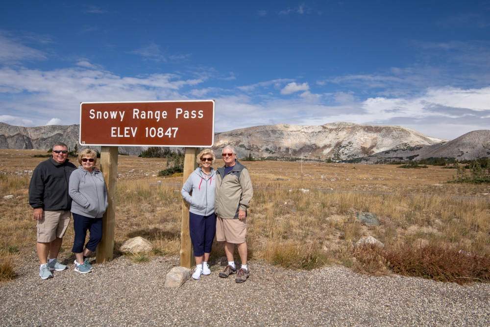
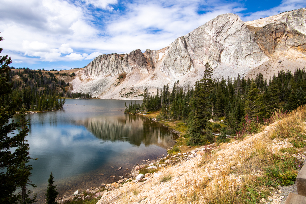
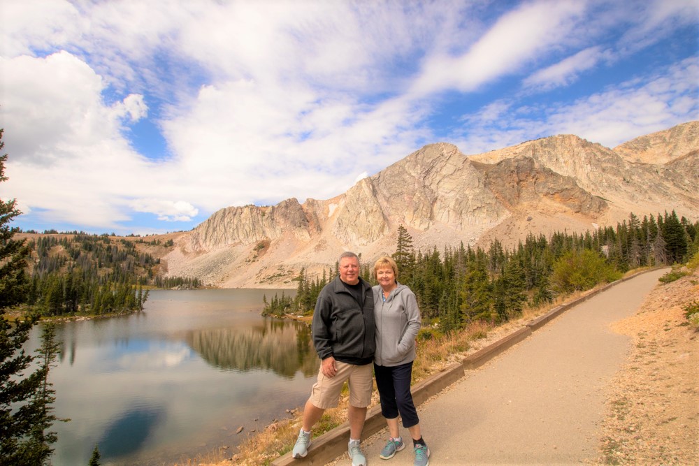
2018 West - Day 3 - Thu, 9.6.2018
Laramie, WY to Casper, WY
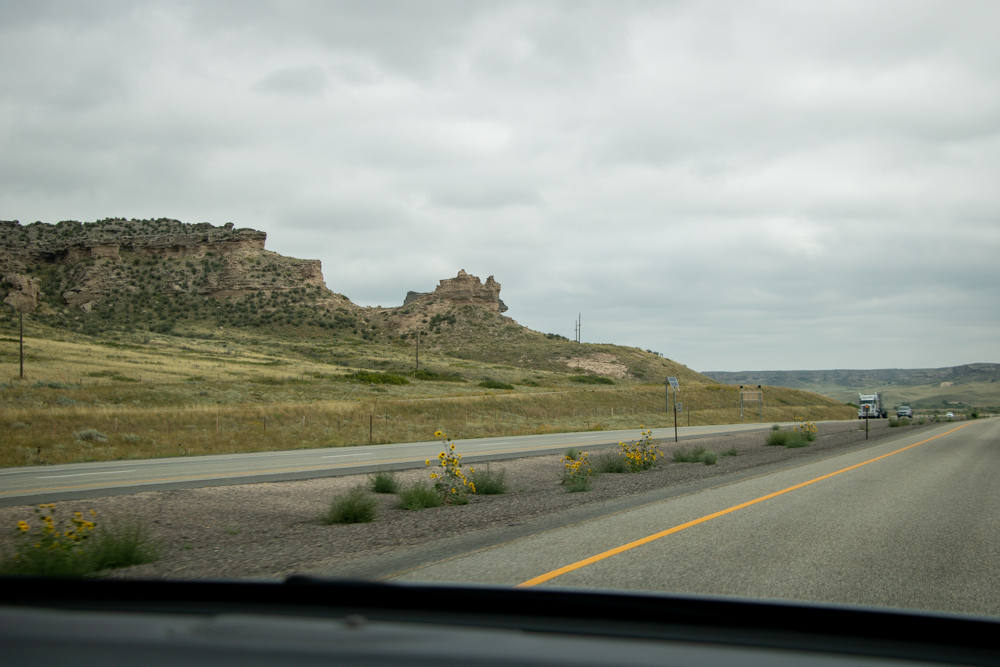
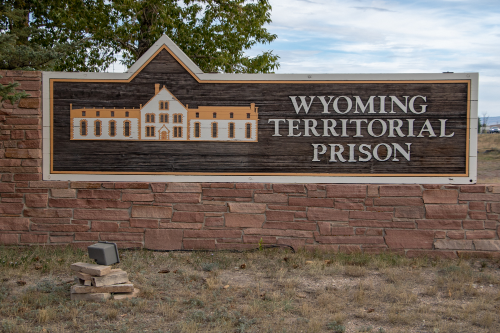
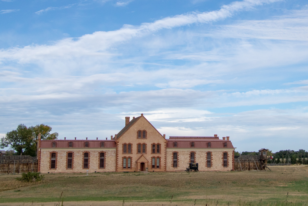
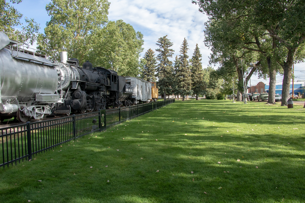
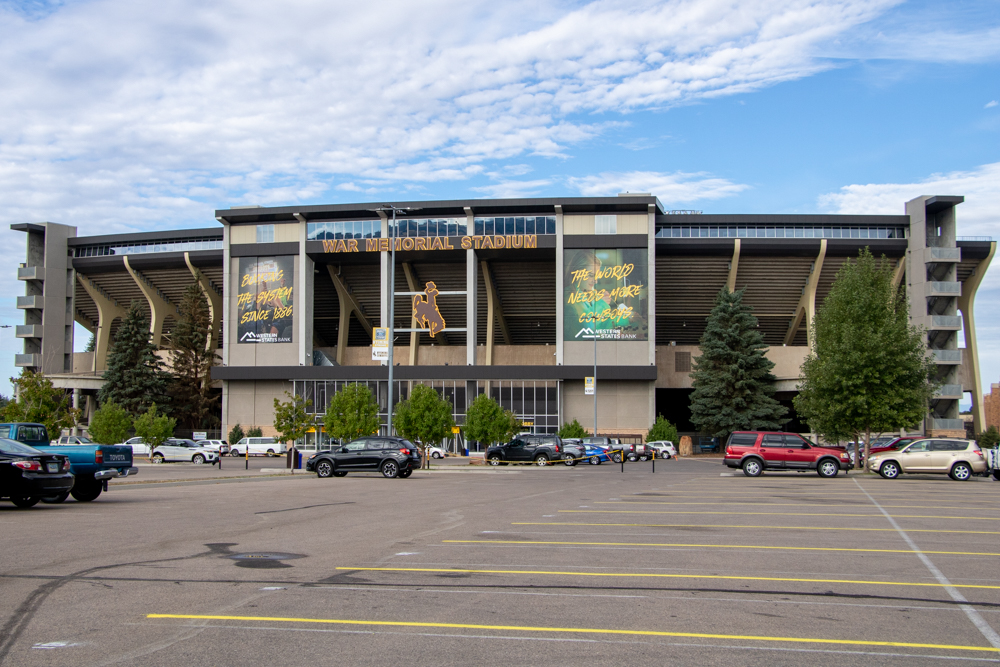
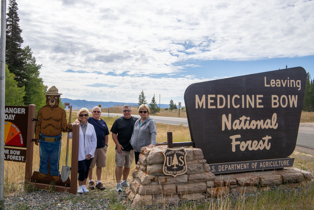
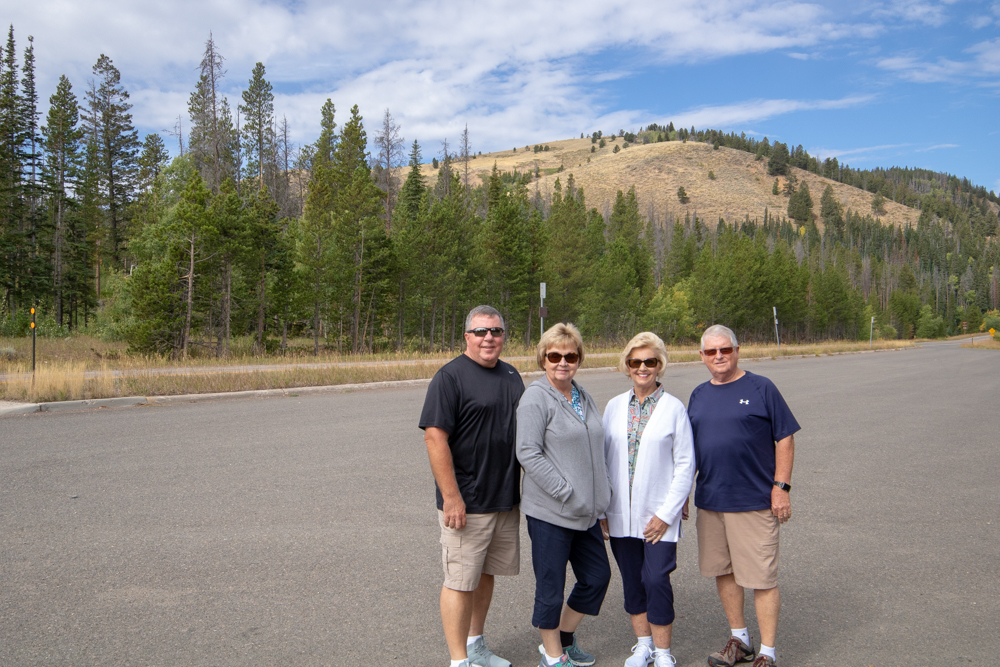
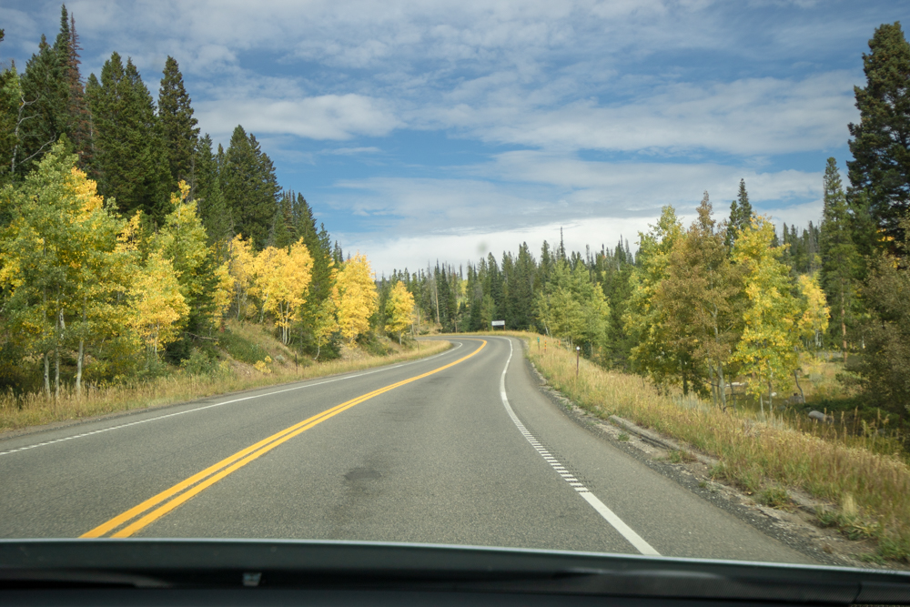
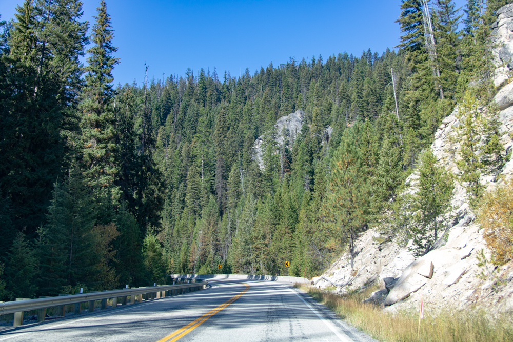
We departed the hotel this morning around 8:30 and drove past the Wyoming Territorial Prison, the University of Wyoming and the Union Pacific Railroad. Initially we were going through Medicine Bow to get to Independence Rock but changed our plans to go south through Medicine Bow Mountains and National Forest via the Snowy Range Pass. It was a beautiful drive, peaking out at 10,00 feet. At the peak there was an observation tower overlooking Libby Flats. There were many areas to pull over for photo ops. The aspens were beginning to turn a golden color and stood out among the pines.
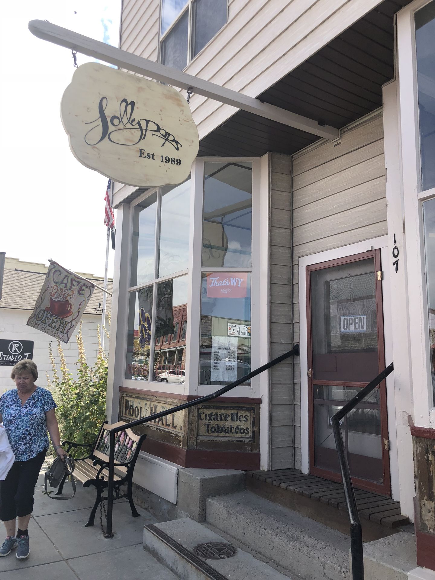
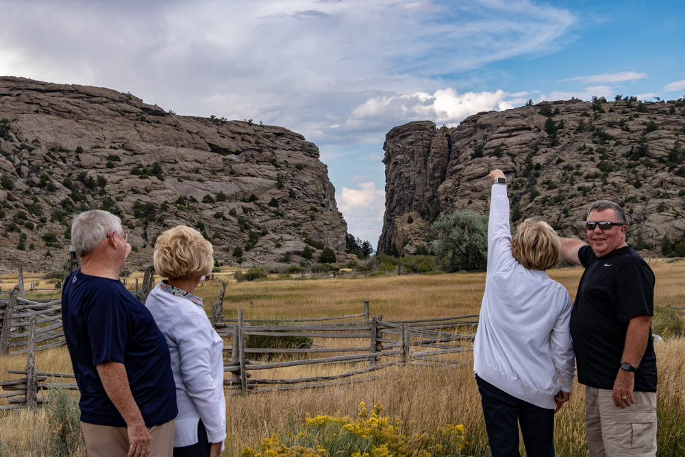
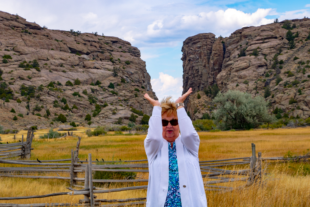
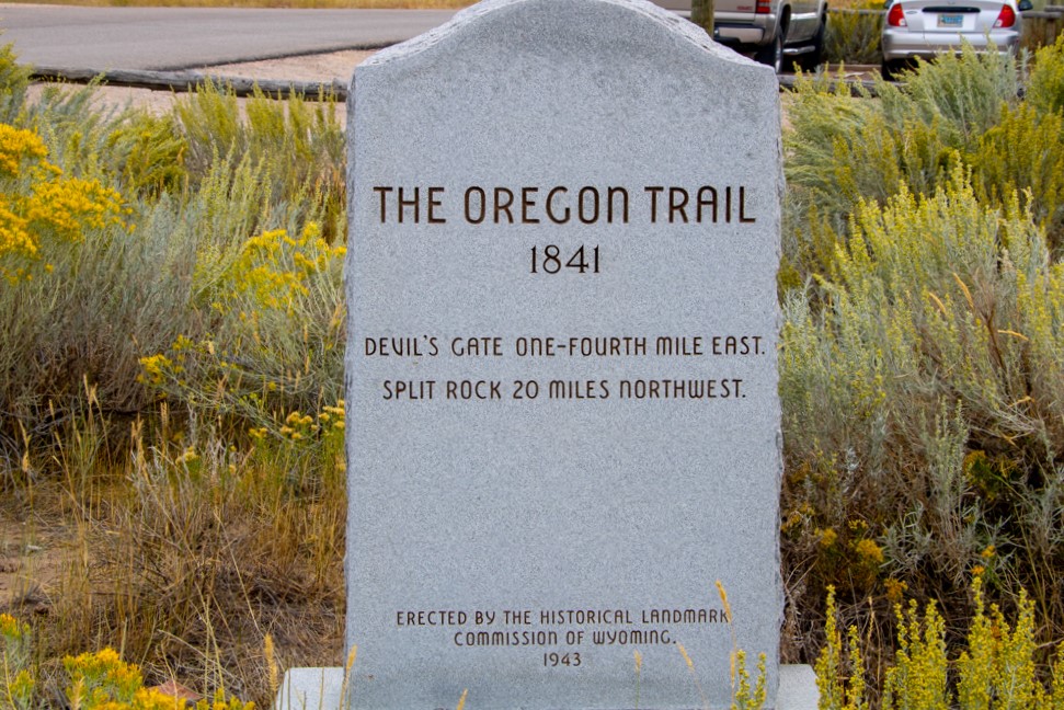
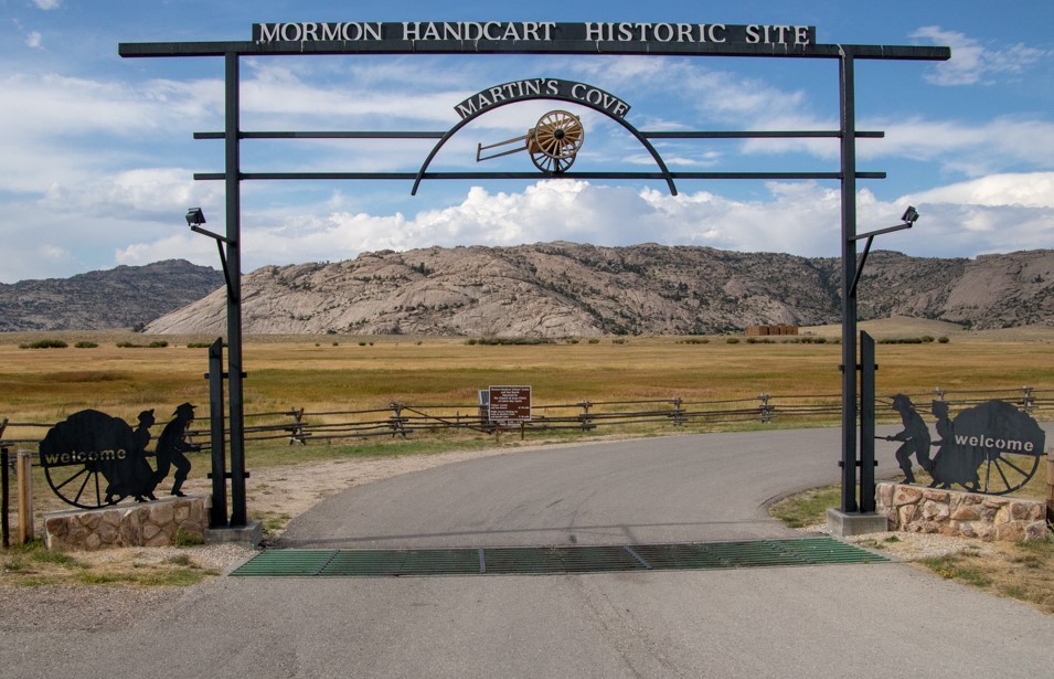
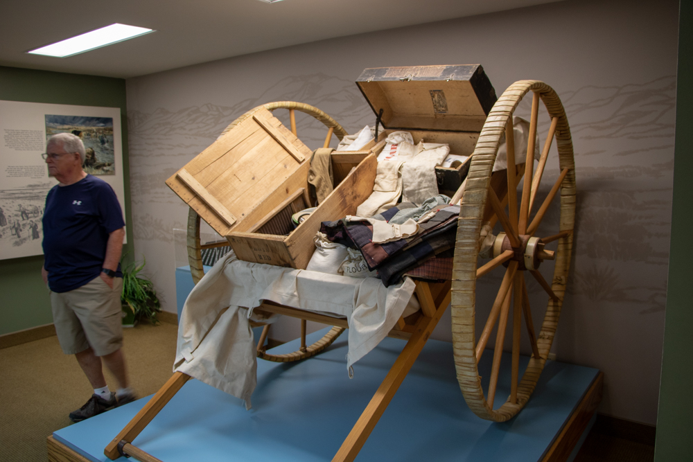
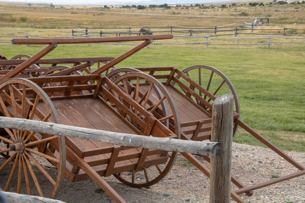
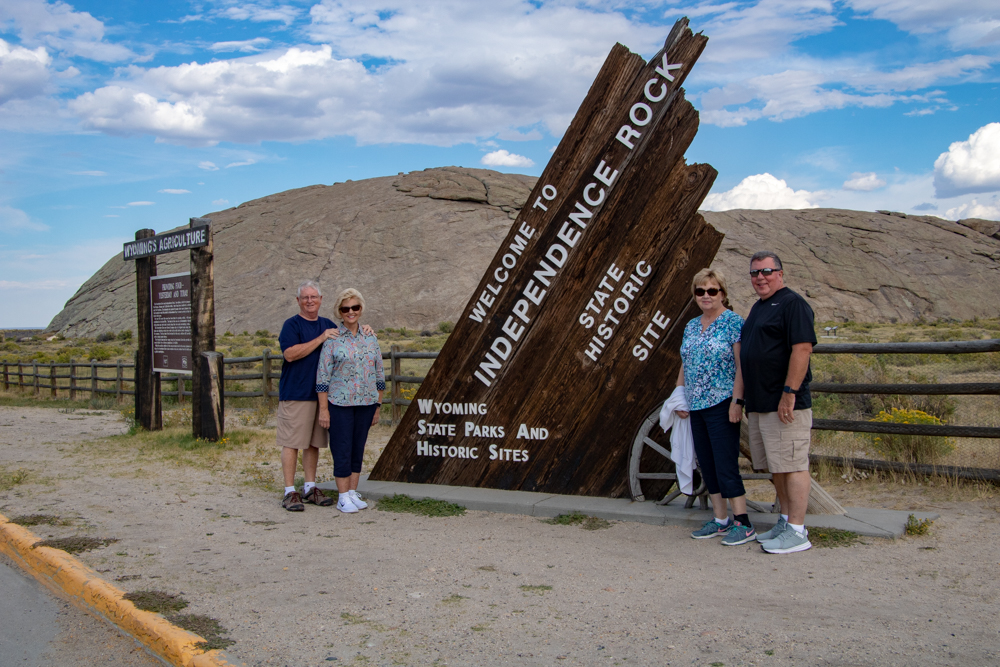
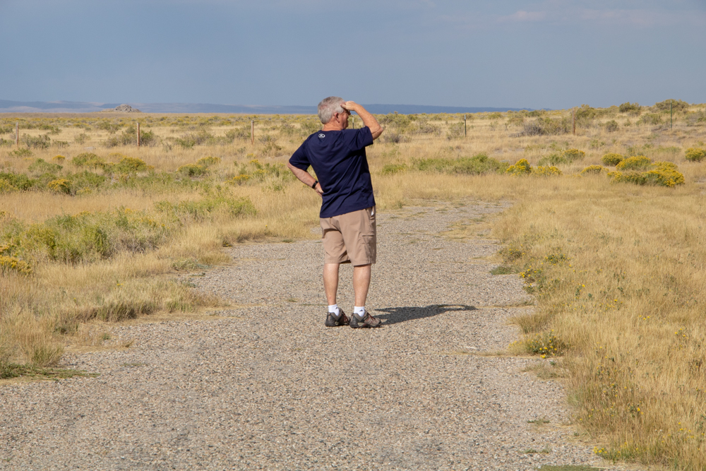
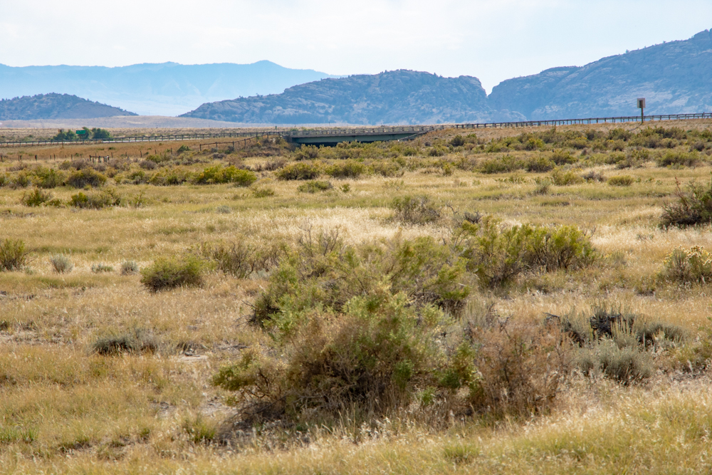
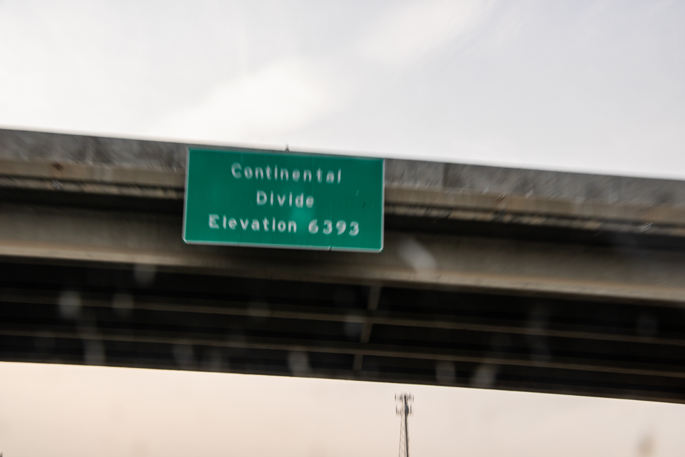
We stopped for lunch in Saratoga, WY and ate at the Lollypop Cafe. From Saratoga we drove to Rawlins and headed north crossing the Continental Divide at South Pass. Our goal was to visit Split Rock, Devils Gate and Independence Rock, all landmarks for the westward expansion via the Oregon Trail. We missed the turn off for Split Rock so we headed to Devils Gate. The Devils Gate was accessed by entering Martins Cove and then a half mile walk to Devils Gate. Martins Cove and thousands of acres are owned by the Mormons. They have a Visitors Center and history of the Martin’s Company which led a group of Mormons using hand carts vice wagons to Salt Lake City. Hand carts were used for the poor who could not afford a wagon and the team to pull it.
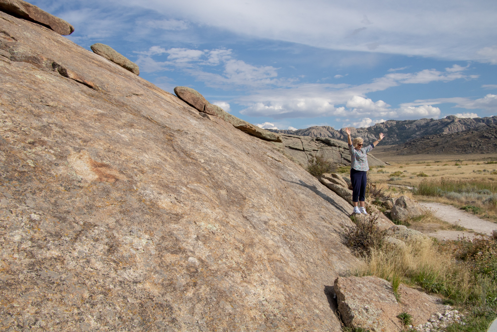
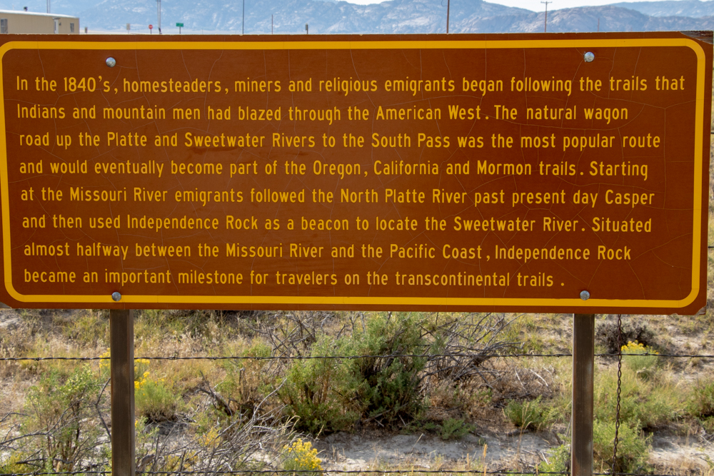
The wagon trains left Fort Caspar where they crossed the Platte River and headed southwest towards Independence Rock. Independence Rock sits in the Sweetwater Valley where the Sweetwater River passes nearby. The wagon trains that left Missouri in the Spring had to be at Independence Rock by the 4th of July in order to make it west before the snows closed the passes of the Rockies and Sierras. It was a major milestone which marked the half-way point to Oregon and California. People carved their names into the granite to show they had made it this far.
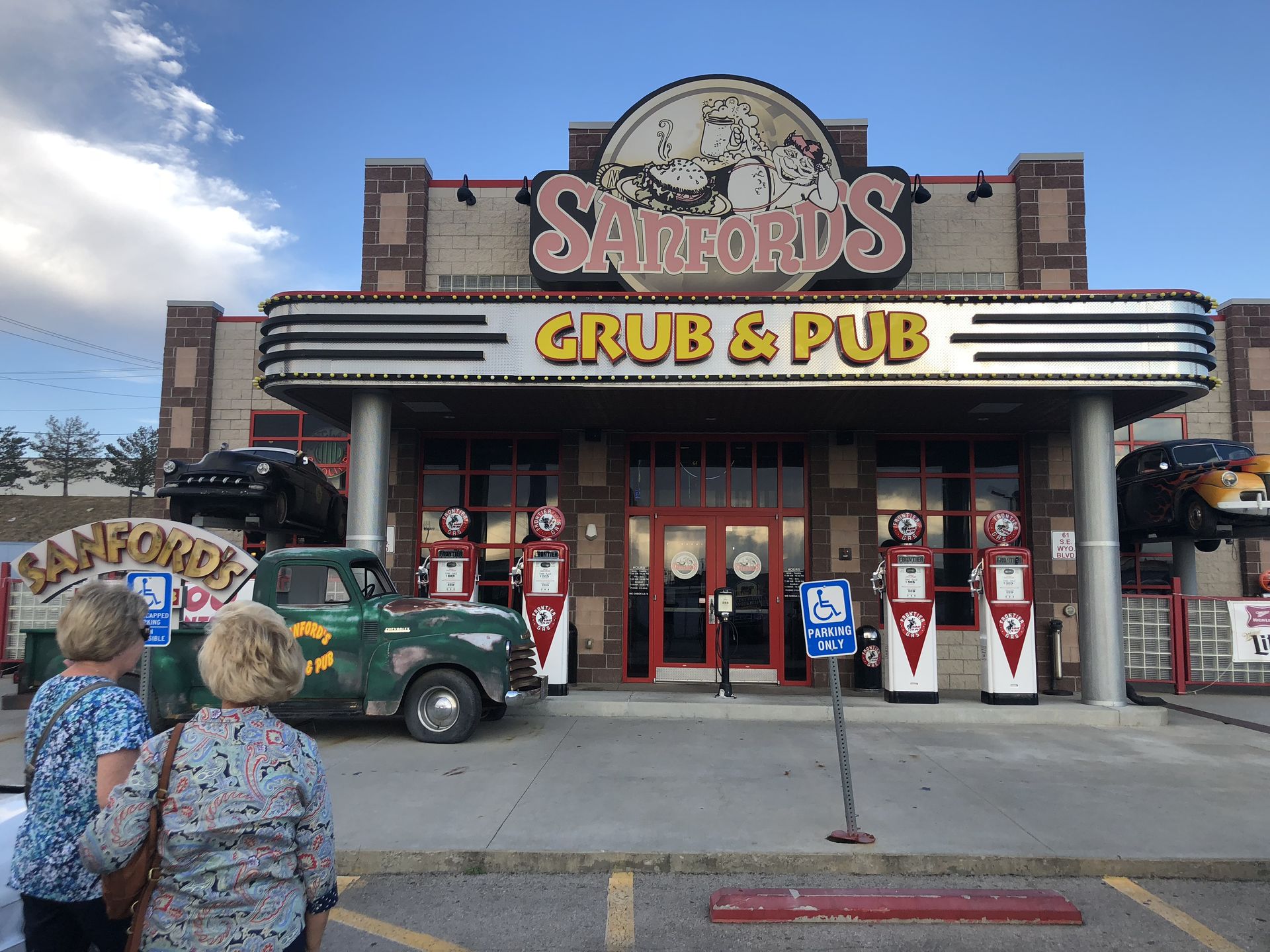
From Independence Rock they could see Devils Gate (another landmark) and crossed the area just to the south at Rattlesnake Pass. From Rattlesnake Pass they came to Martins Cove. For more about the Oregon Trail you can Google it. We left Independence Rock and headed to Casper for the evening. We checked in to the Residence Inn around 6:30 pm and had dinner at Sanford’s Pub and Grub. We did not count the calories for that meal.
2018 West - Day 4 - Fri, 9.7.2018
Casper, WY to Red Lodge, MT
I forgot to tell the story from yesterday in last night's blog. We were in Rawlins, WY and stopped to get gas. After filling we passed by a homeless guy on the side of the street. We felt sorry for him - he really looked bad and was holding up sign with Laramie written on it. We pulled into Burger King and bought a burger and fries and large coke. We figured we may as well use the bathroom while we were there but when we walked up to lobby door it was locked - sign said lobby closed due to lack of help. Please use the drive-through. Anyway we got the food and drove back to the homeless guy and gave him the burger and fries and coke. He said thanks for the food but did not want the coke - he tries not too have too much sugar! Huh? Patsy asked if he wanted a bottle of water - he said nope - got water. Patsy gave him $10 and he was happy and we went on our way.
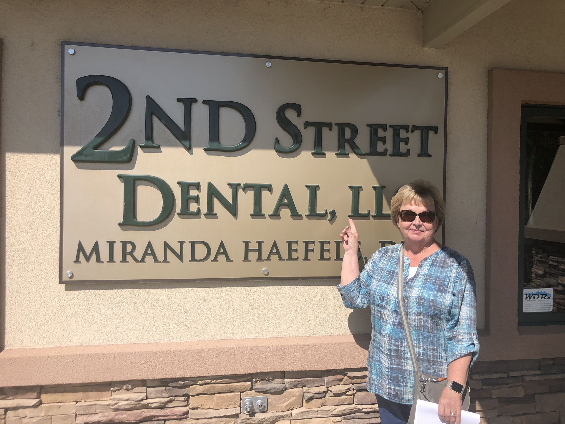
It was 46 degrees Friday morning in Casper. Patsy’s crown fell out yesterday so we got up early, showered, packed and began calling local Dentists. We found 2nd Street Dentistry. Mattie at the office answered the phone and said Dr. Miranda was not in today, but she would call her to see if she would come in. A few minutes later Mattie called and said Dr.Miranda would come in at 10:45 to see Patsy.
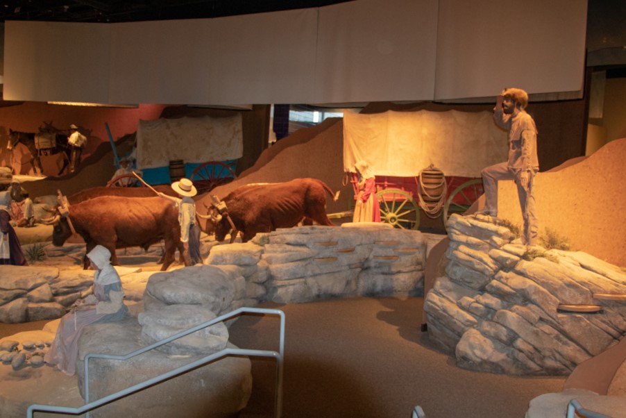
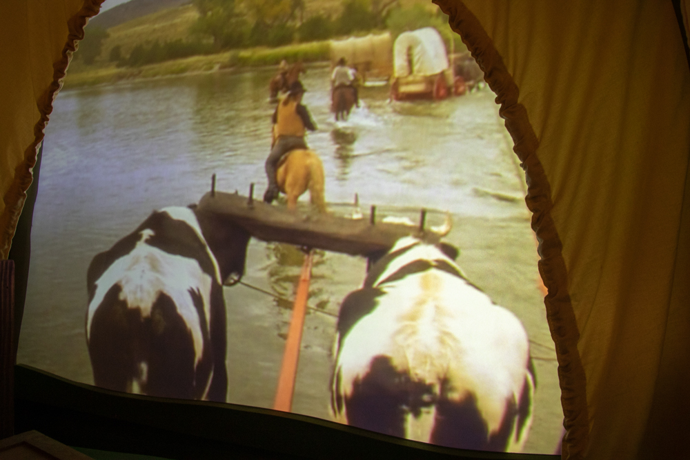
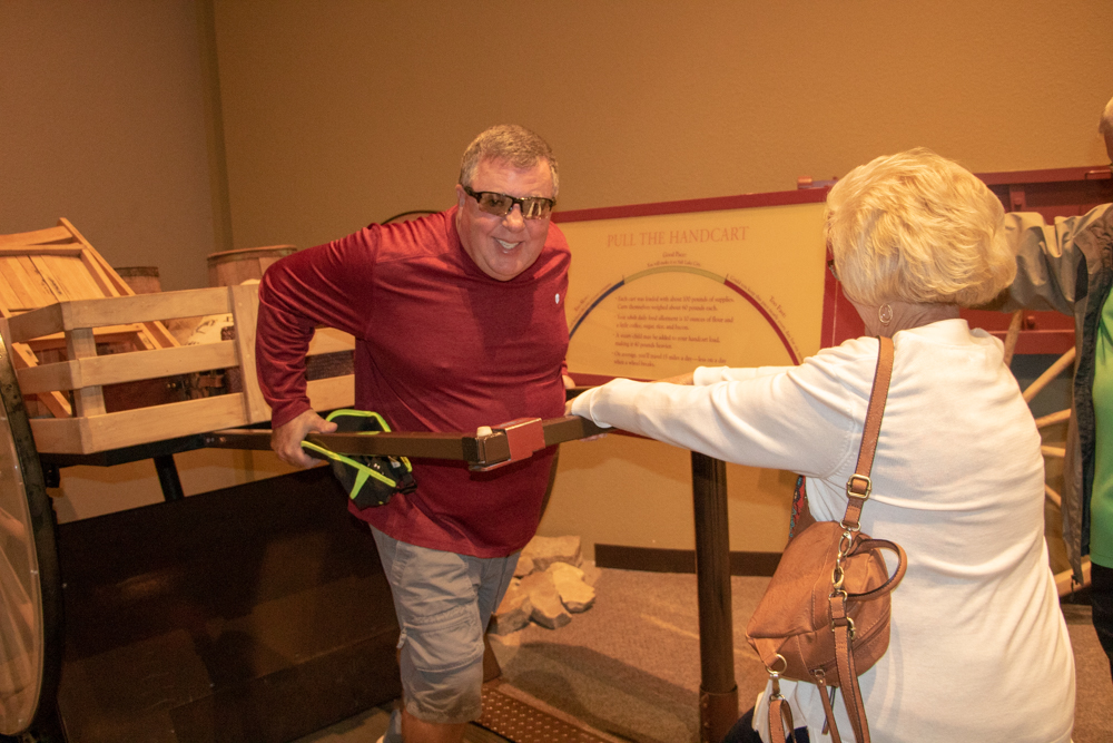
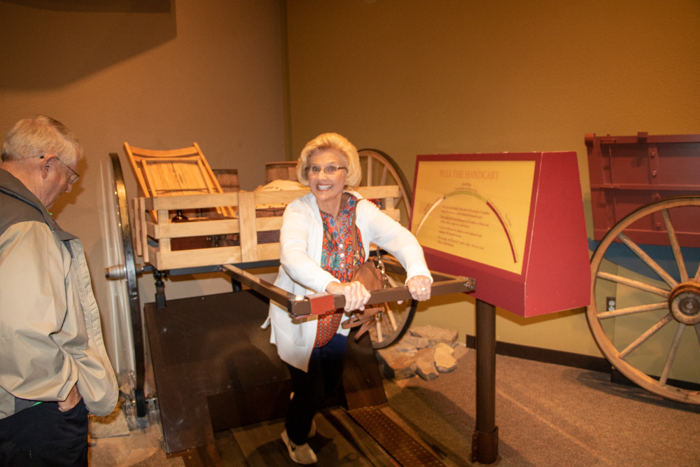
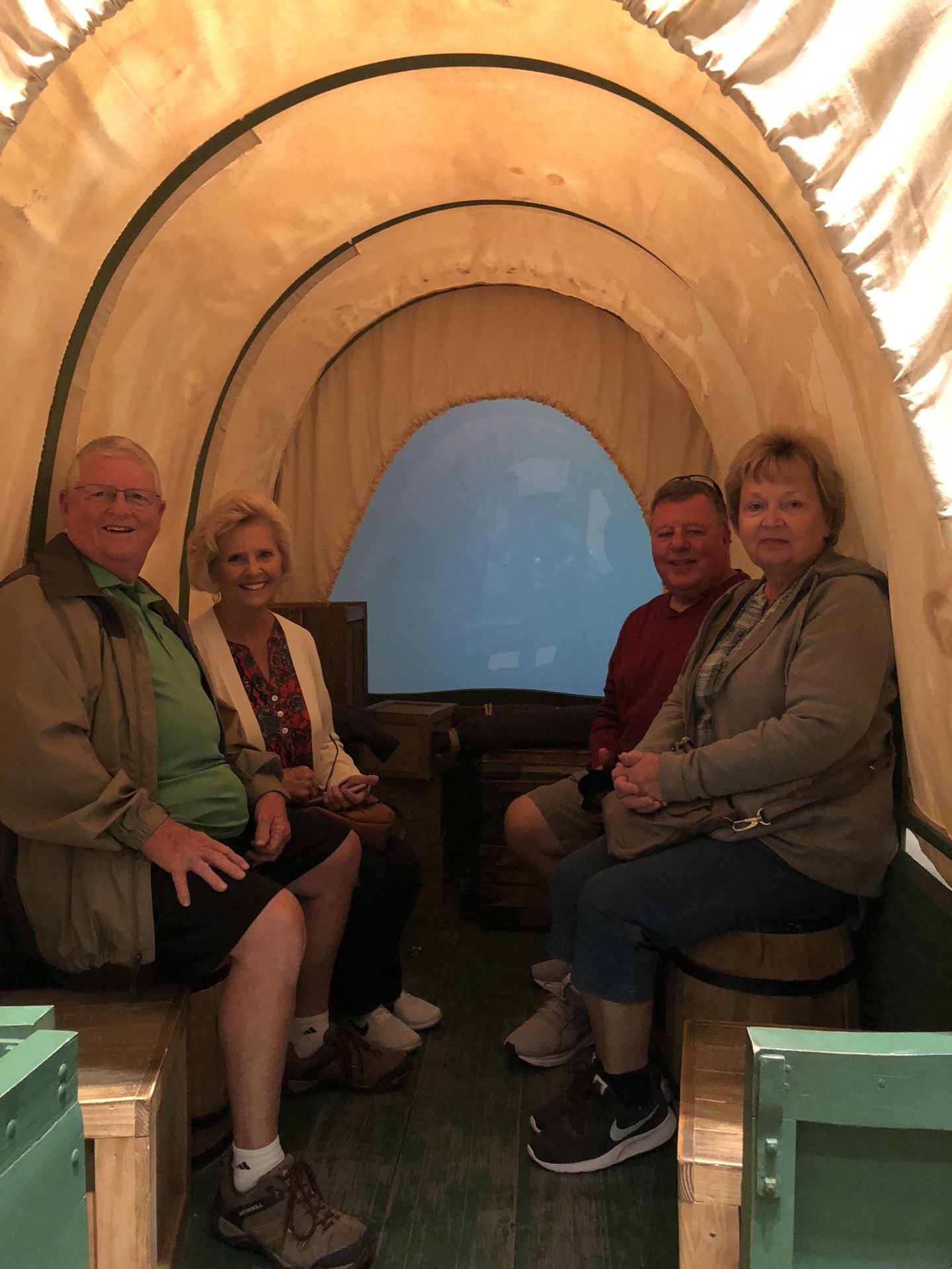
Since we were all ready to go we left the hotel at 8:30 and went over the National Historic Trails Interpretive Center and learned more about the Oregon Trail. It was a beautiful facility with many interpretive displays - like riding a wagon across the Platte River and what it was like to pull one of the Mormon's handcarts.
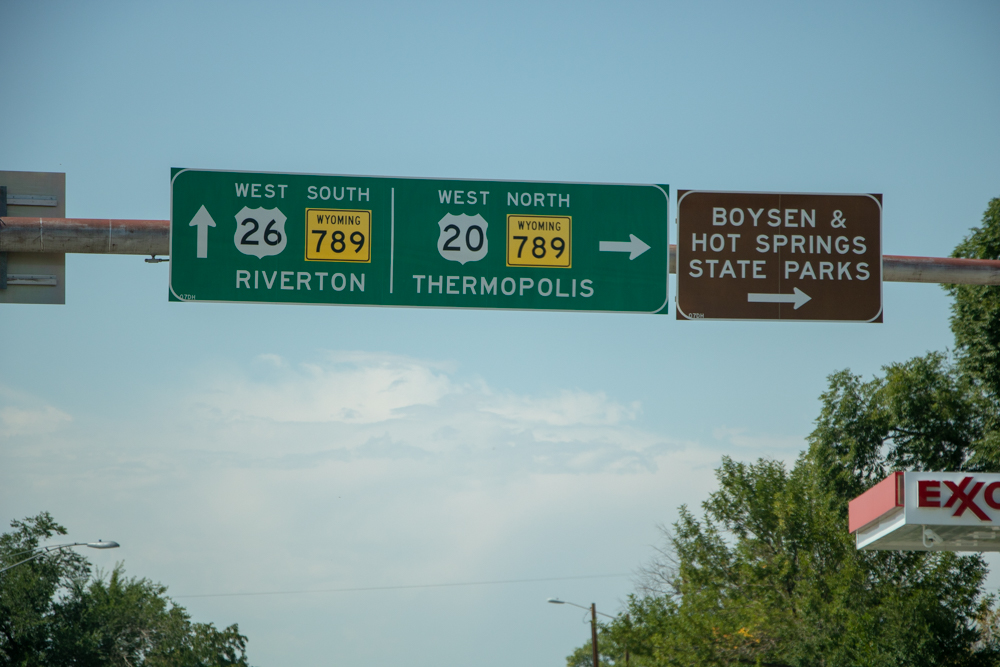
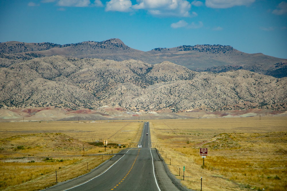
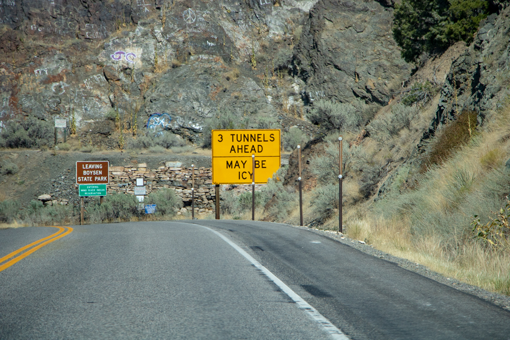
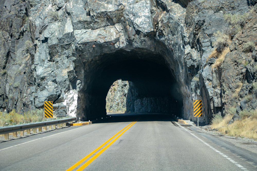
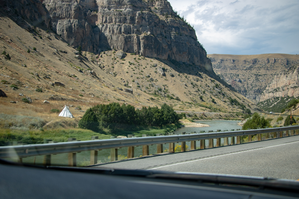
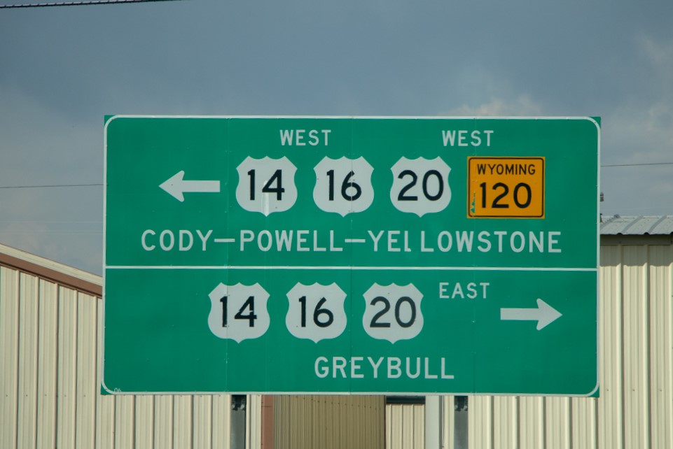
At 10:15 we drove back to the Dentist office and filled out the forms and got an x-ray. Dr. Miranda came in and cemented the crown back in. The staff and Dr. Miranda were the friendliest and most professional people I have ever met. We said our goodbyes and filled up with gas, grabbed some fast food and headed west towards Shoshone where we turned north to drive the Wind River Canyon Scenic Byway towards Thermopolis and Cody, WY. The drive was awesome with rivers, tunnels, the railroad, and 3,000 foot high cliffs.
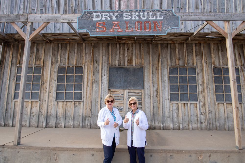
We arrived in Cody and since we had already done the Buffalo Bill western museum on a previous trip, we opted to tour the Old Trail Town. The town is made up of log cabins found around state of Wyoming. The cabins were torn down from their original location and rebuilt on site in Cody. An example was a cabin used by the Hole in the Wall Gang.
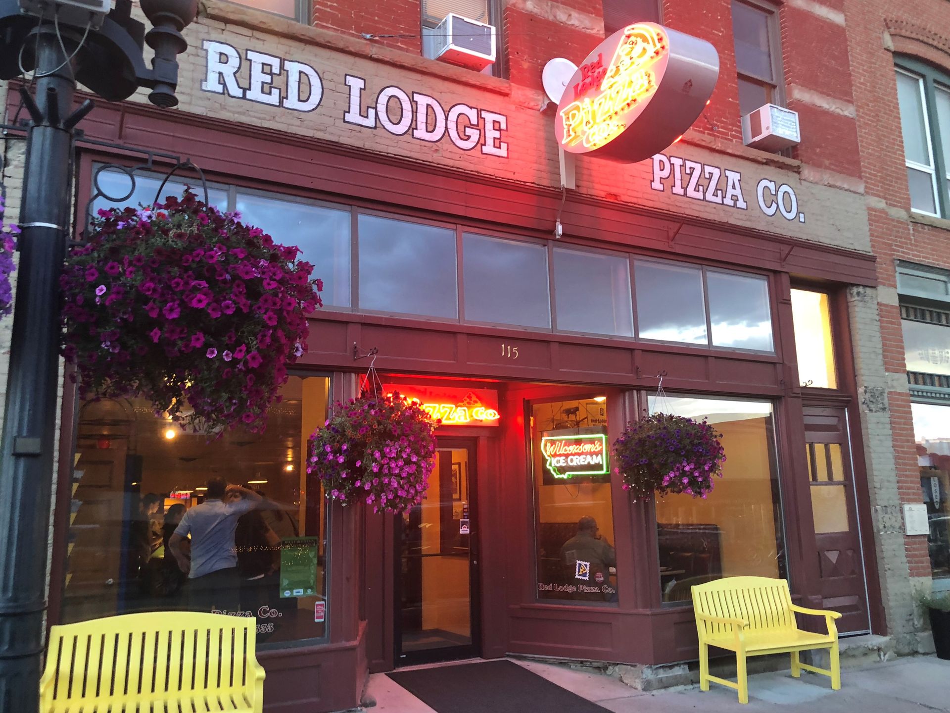
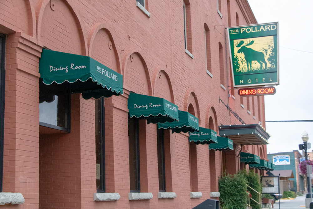
We left Cody and drove to Red Lodge, MT and checked in to The Pollard Hotel, built back in 1902. Some of the famous visitors to the Pollard include Buffalo Bill Cody. I doubt we are staying in his room. We unpacked and had dinner at the Red Lodge Pizza Company. After dinner we were walking home and a storm blew up, but there was more sand than water covering our faces and eyes.
Oh - I also forgot to post last night I was in hotel walking back to my room from the front desk and found David and Gwen wandering the hallways looking for their room. I laughed and went into my room and not 2 minutes later Patsy texted and asked what room WE were in. After changing hotels every night one gets confused if the room number they remember is tonight's room or last night's room.
2018 West - Day 5 - Sat, 9.8.2018
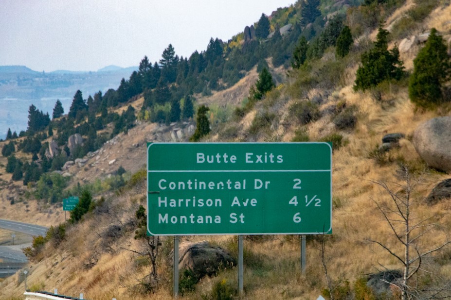
Red Lodge, MT to Butte, MT
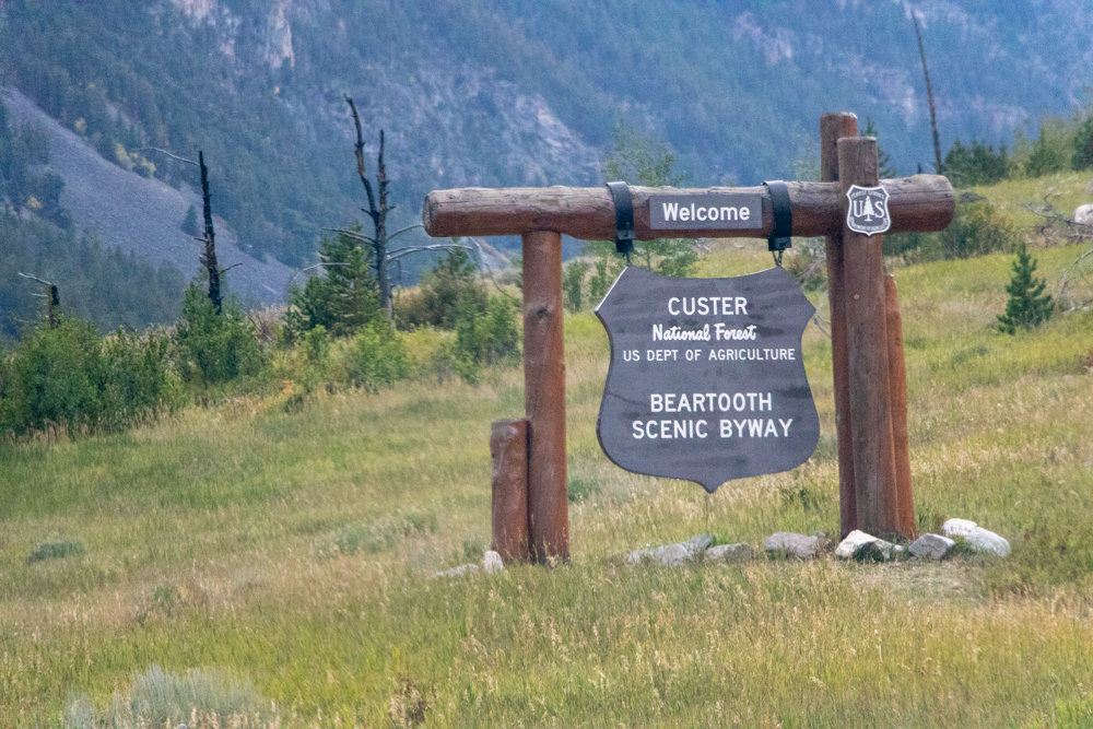
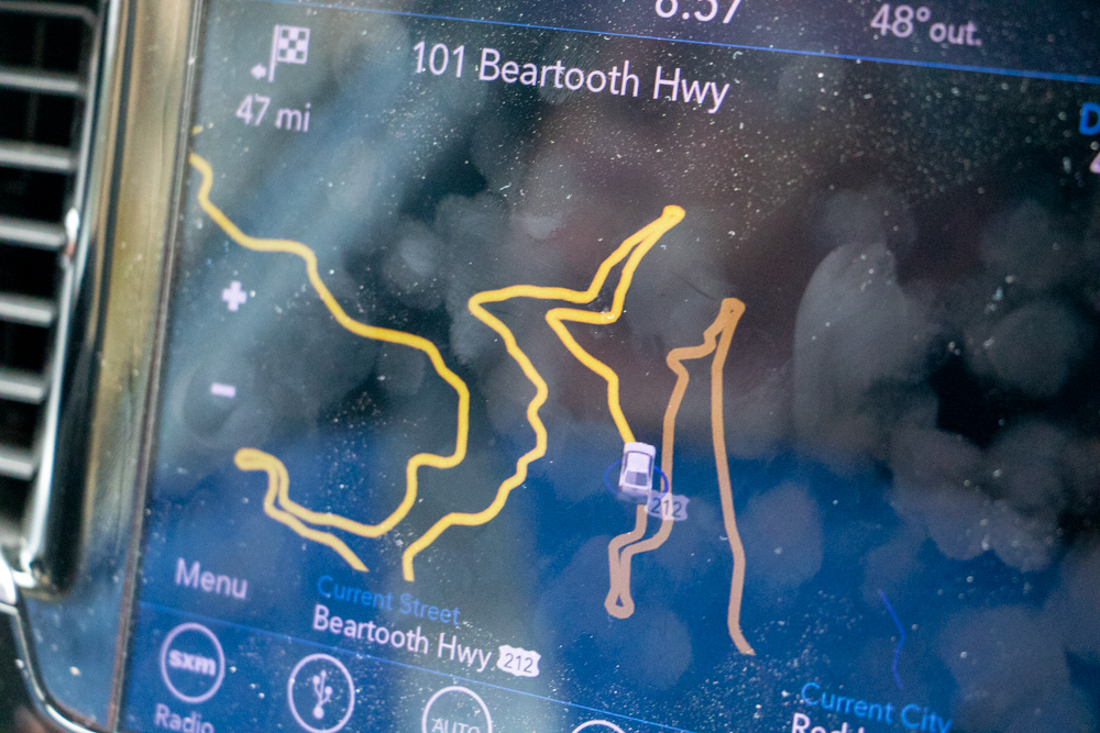
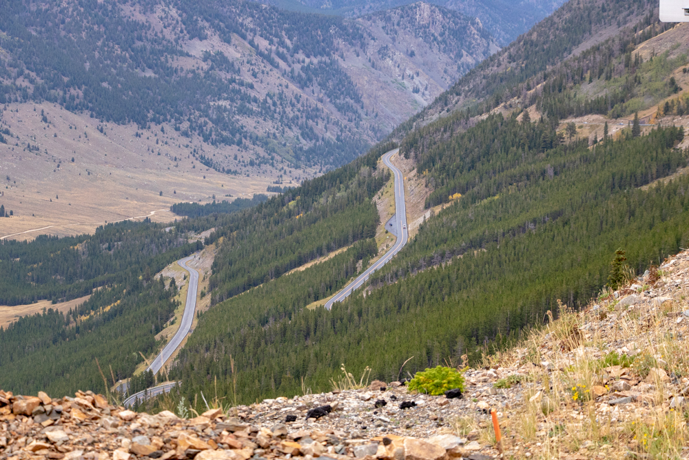
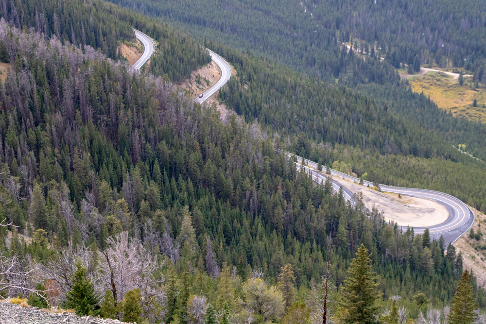
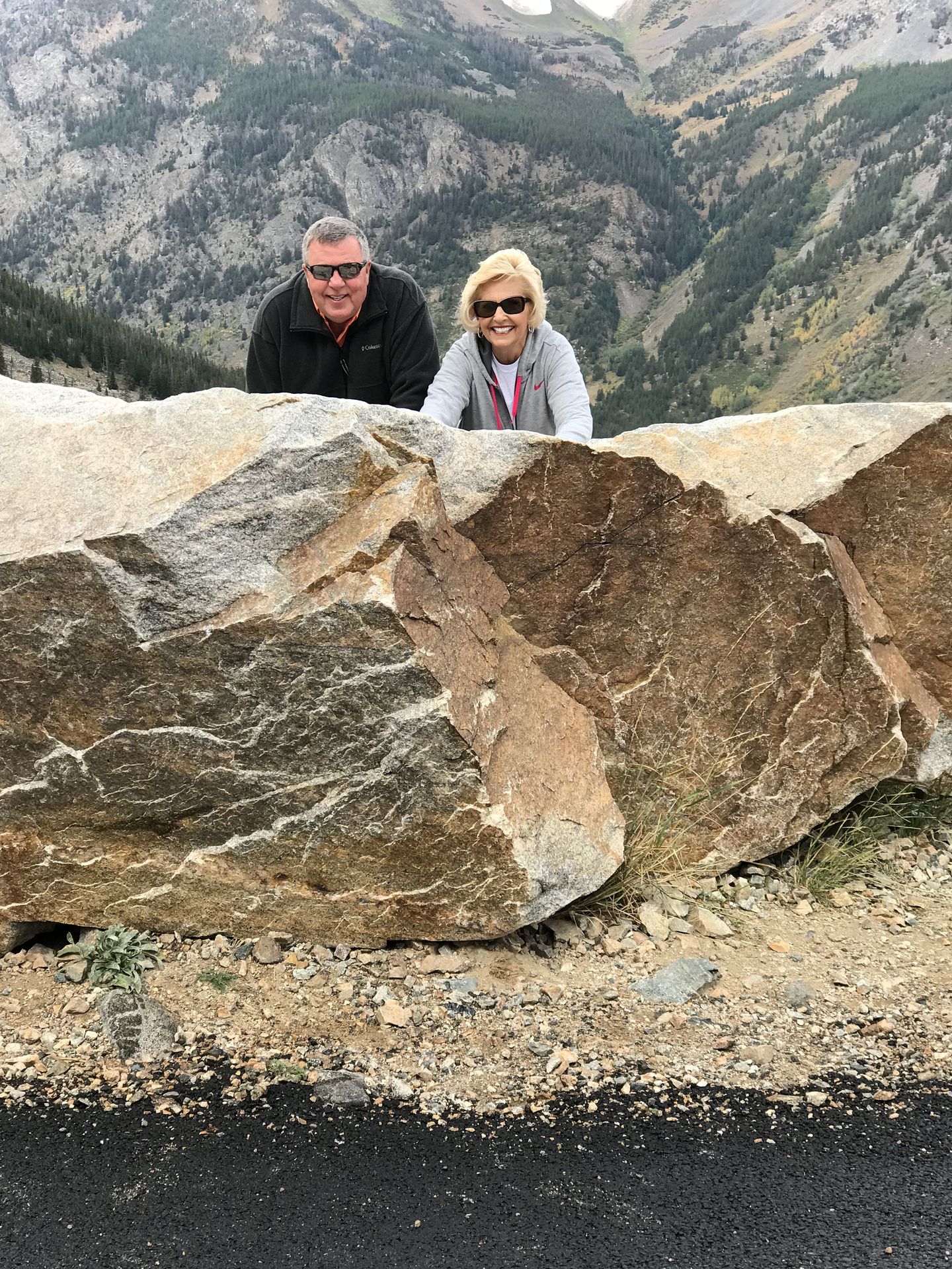
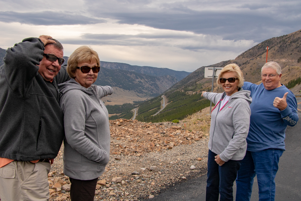
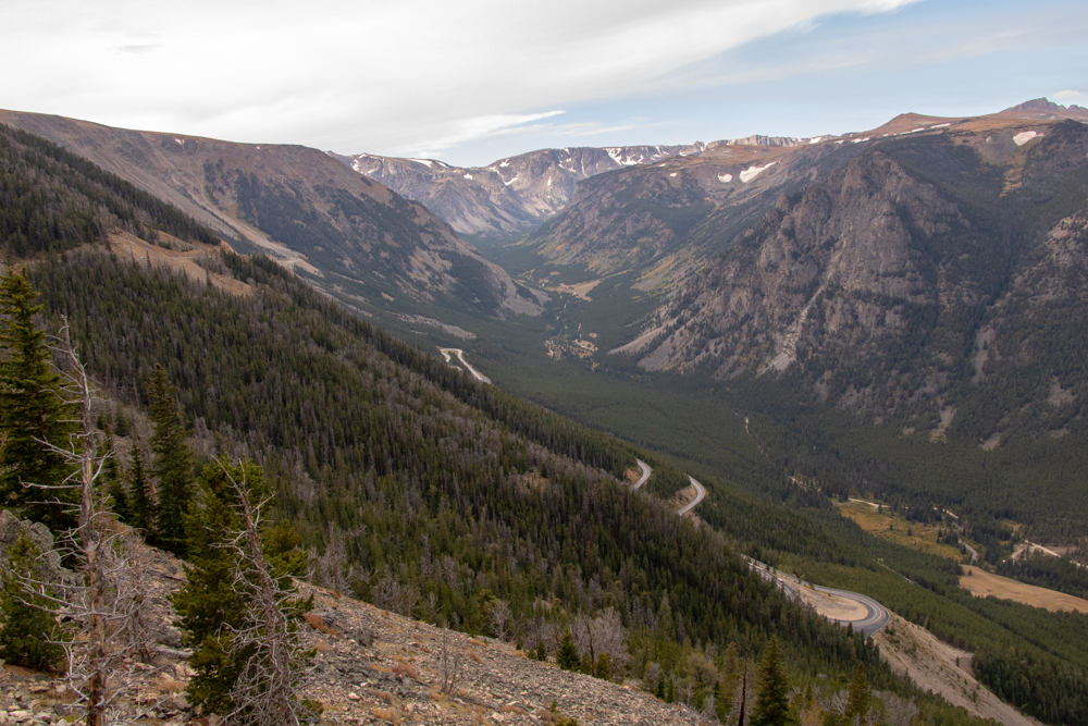
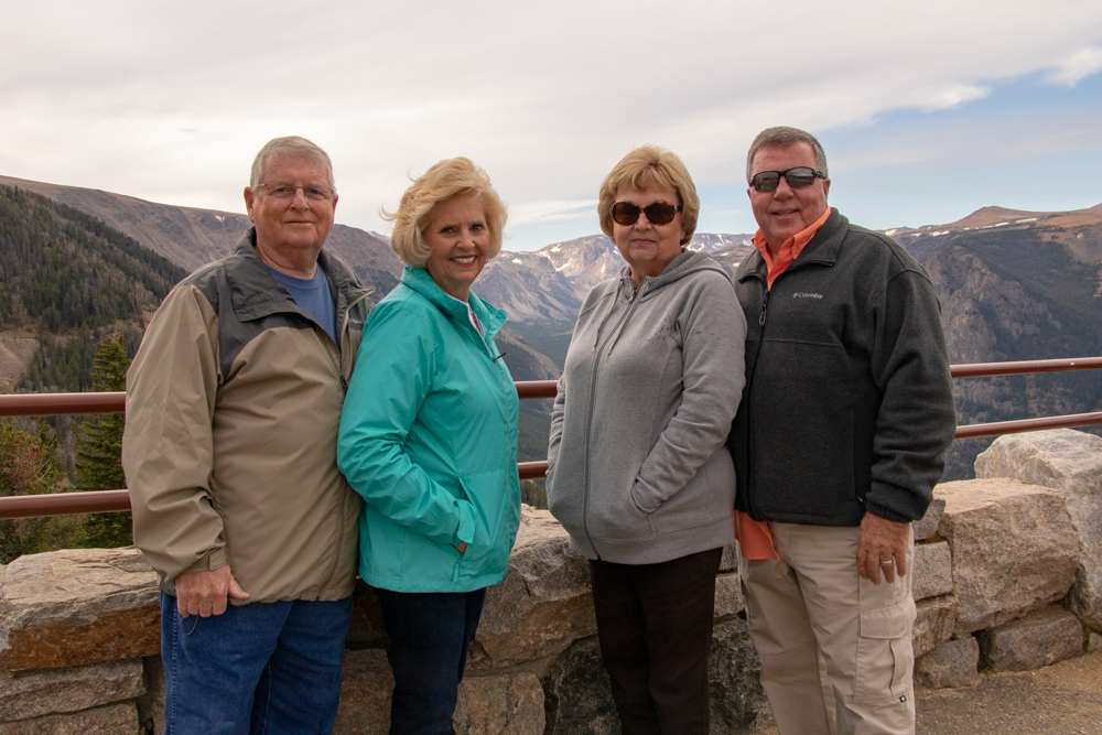
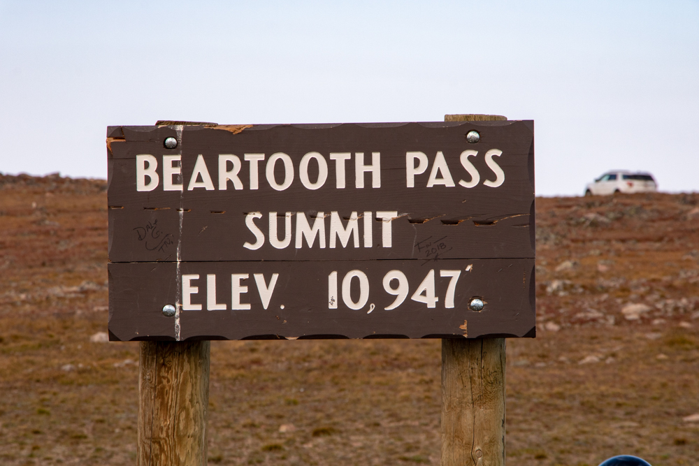
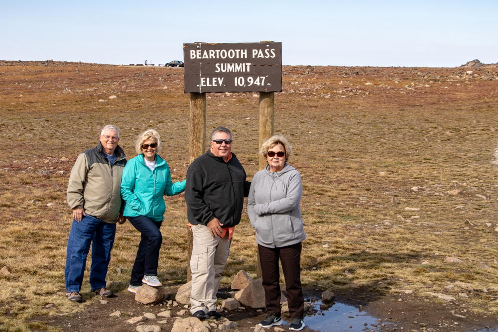
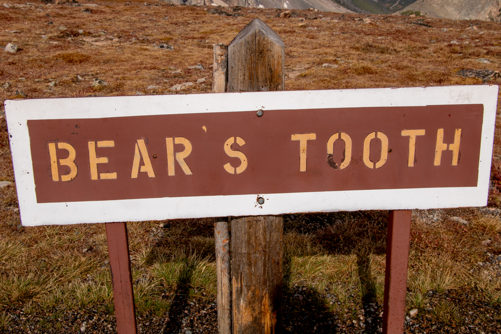
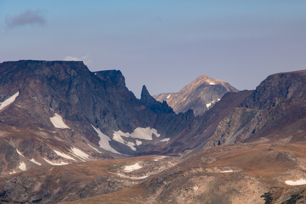
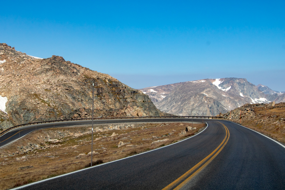
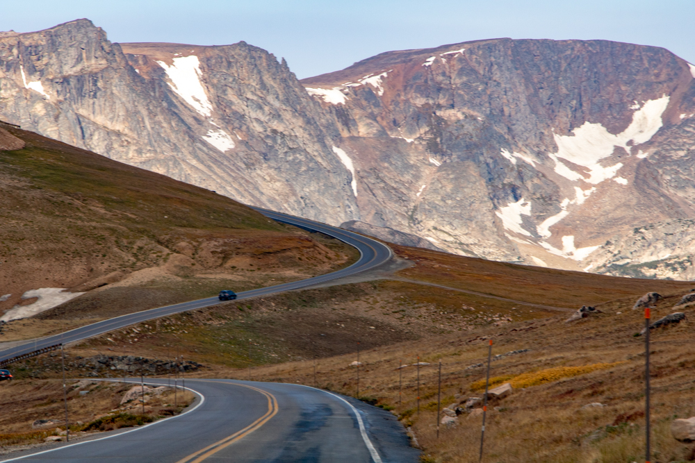
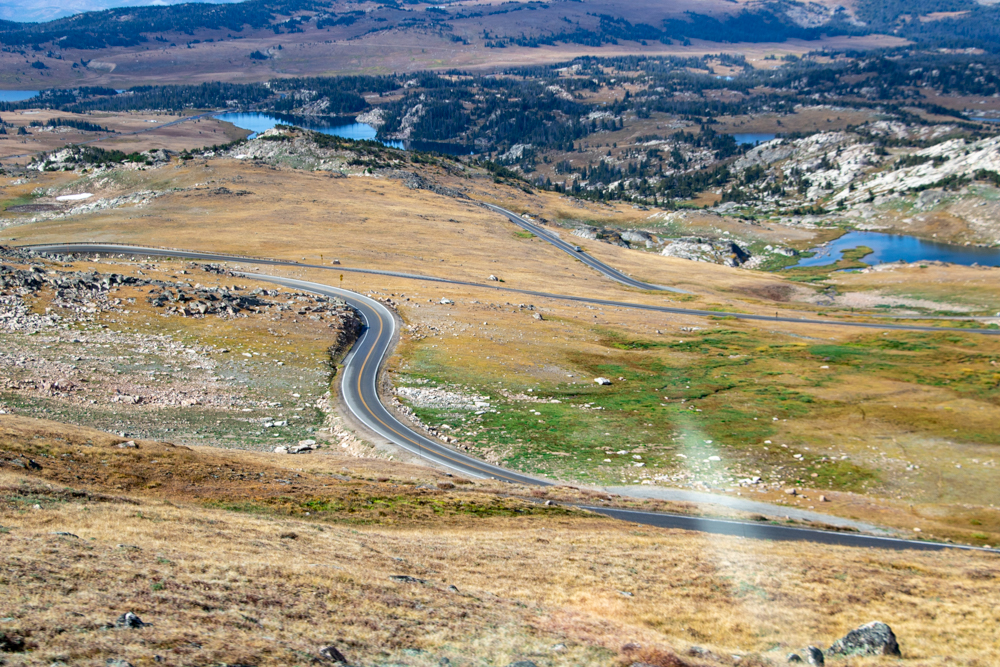
It was 53 degrees in Red Lodge this morning. We had a great breakfast in The Pollard at 7:00 am, packed the car, got gas and headed toward the Beartooth around 8:30 am. We saw a sign as we started up “Beartooth is open but expect snow”. Not deterred we drove on. It is hard to describe the Beartooth - the fear of hairpin turns with such drop offs you dare not look down but the beauty of the mountains a camera does not do it justice.
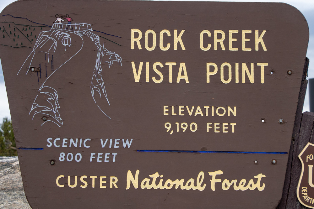
We made several stops for photos and then stopped at the 9,190 foot Rock Creek Vista Point and walked out 150 yards to the vista with a 270 degree view of the mountains. It was 43 degrees with a light mist. I thought this must have been the top of the mountain but we climbed via more hairpins to the top which crested at 10,737 feet. It was 41 degrees and windy but sky was clearing.
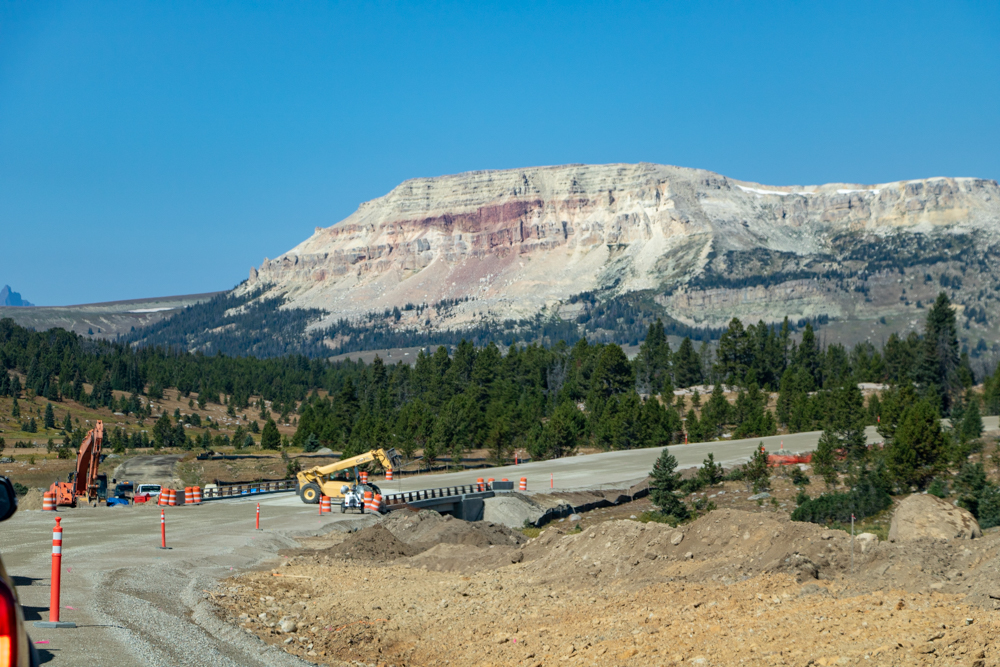
There are 20 peaks over 12,000 feet with the highest point being Granite Peak at 12,799 feet. The descent was just as beautiful with some snow still visible and many lakes. We did get held up for 20 or so minutes as we waited on road construction. Once road was opened a truck led us through the construction.
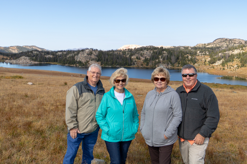
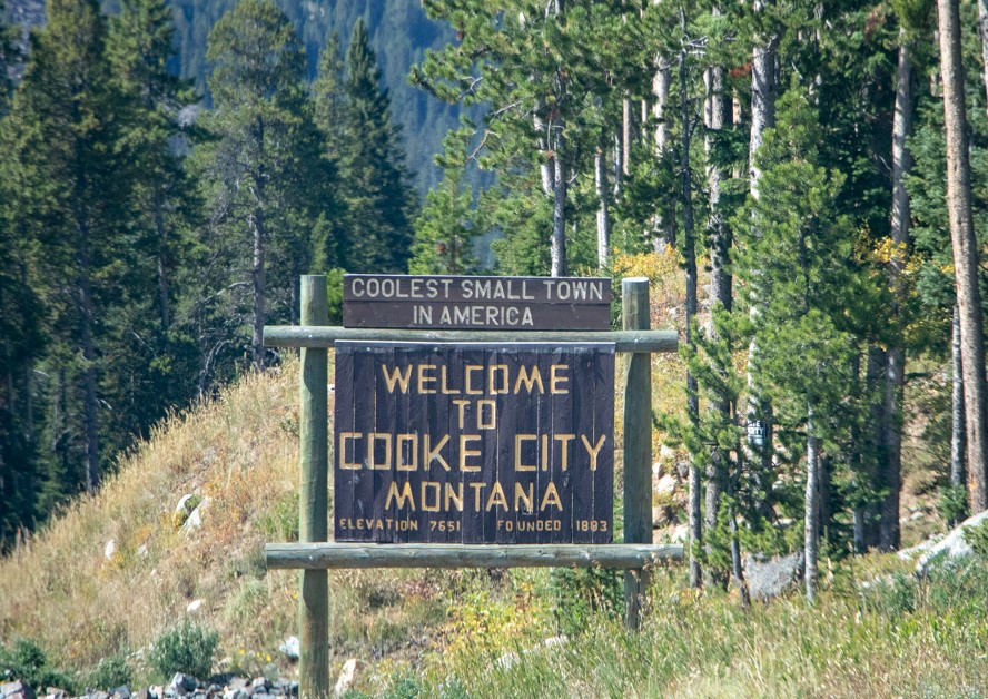
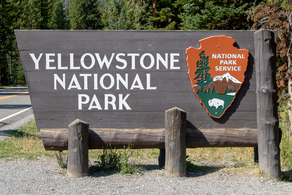
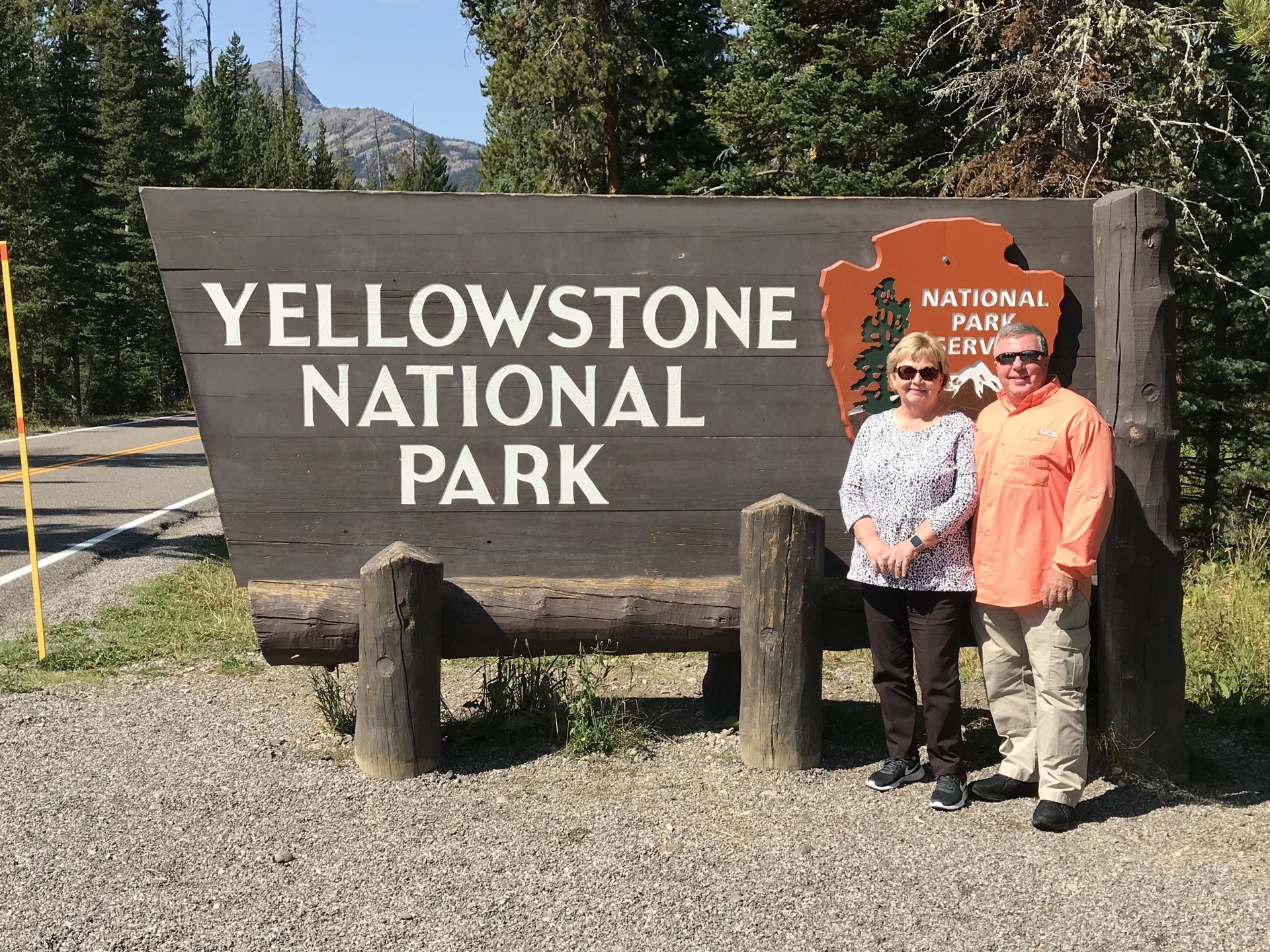
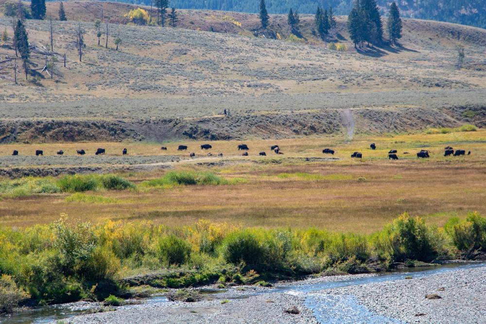
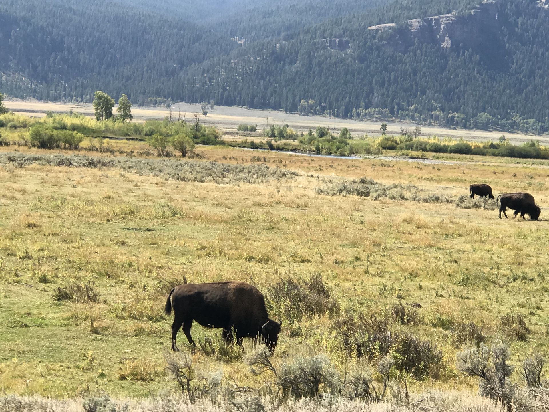
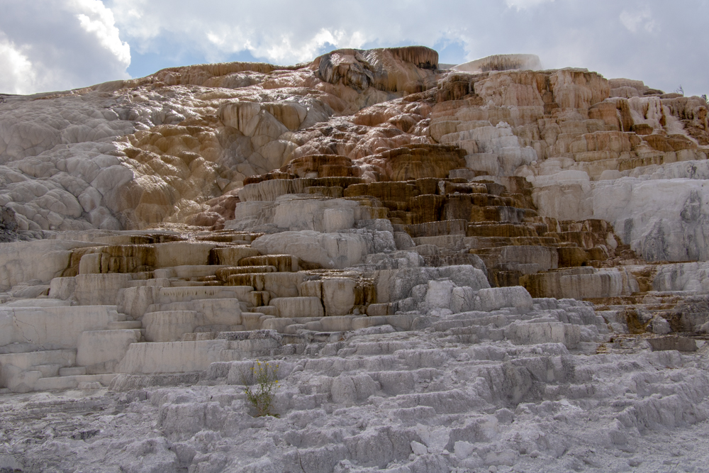
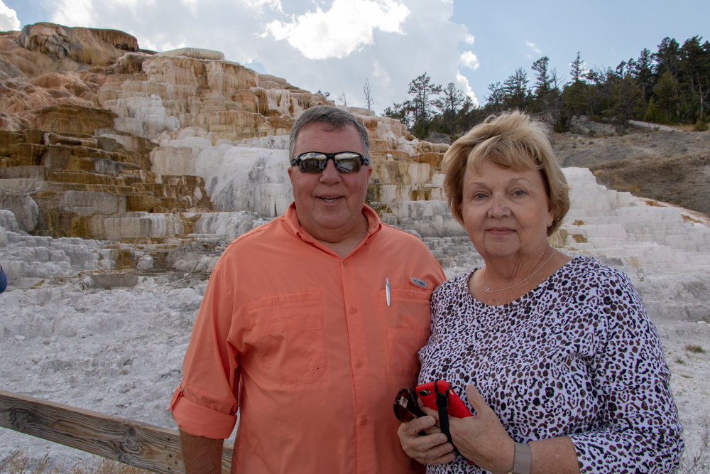
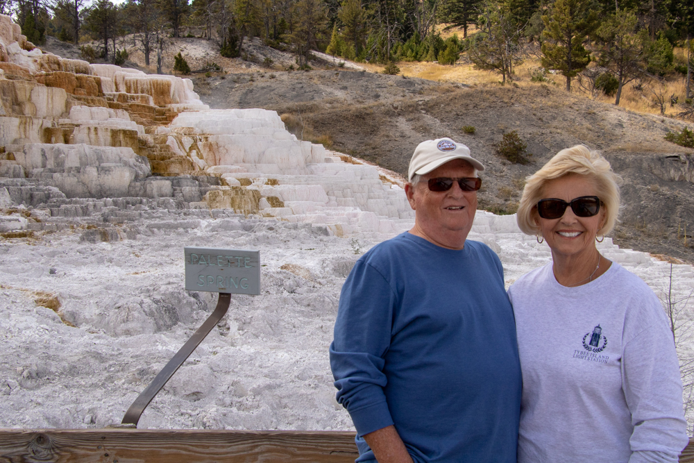
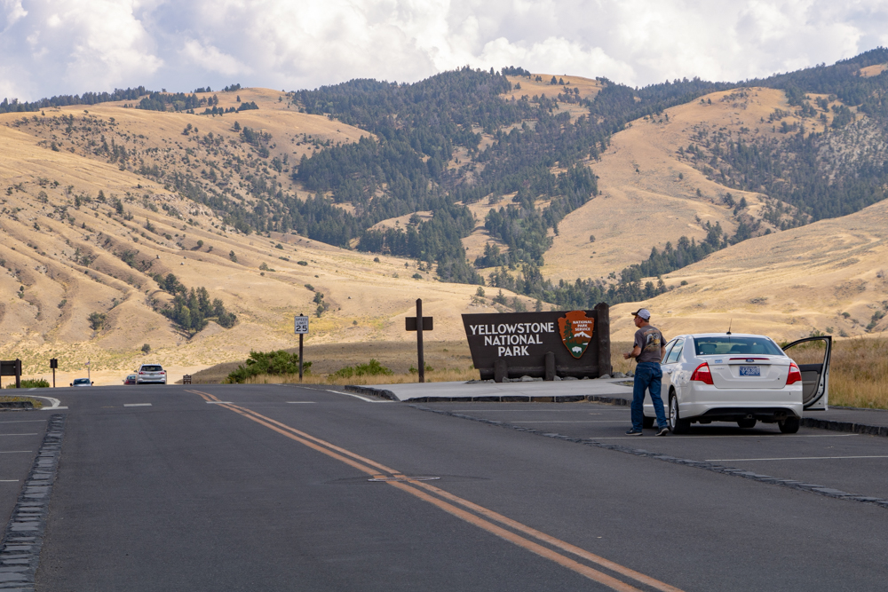
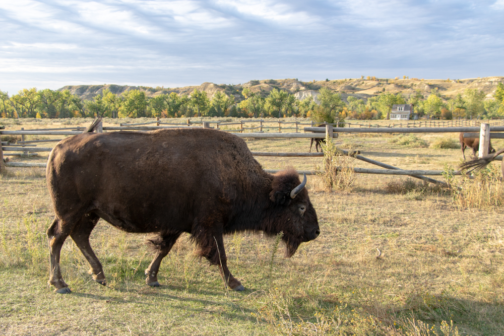
We drove on to Cooke City which is near the northeast entrance of Yellowstone Park. A round of applause for David for the safe drive over the Beartooth. Since we had already visited Yellowstone we drove to the Mammoth Hot Springs (53 miles away - did I say Yellowstone is huge). Along the way we saw many buffalo/bison grazing along the Lamar River and as many people fly fishing for trout. After going to Visitor Center and getting our National Park book stamped, we walked up to the springs for photos.
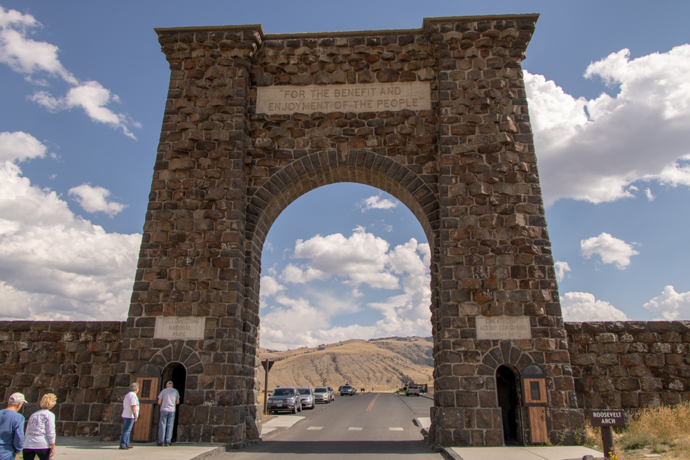
We left Yellowstone via the north gate, through Roosevelt’s Arch. We drove to Livingston and picked up I-90 North towards Butte - our rest stop for the evening. We stopped in Bozeman and had dinner at an Outback. We arrived at the hotel at 7:00 pm. Sorry for so many pictures of the Beartooth - I deleted 70 but you still get a bunch.
2018 West - Day 6 - Sun, 9.9.2018
Butte, MT to Kalispell, MT
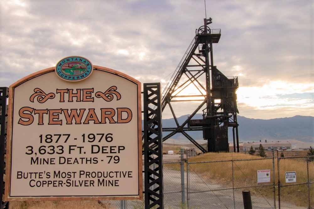
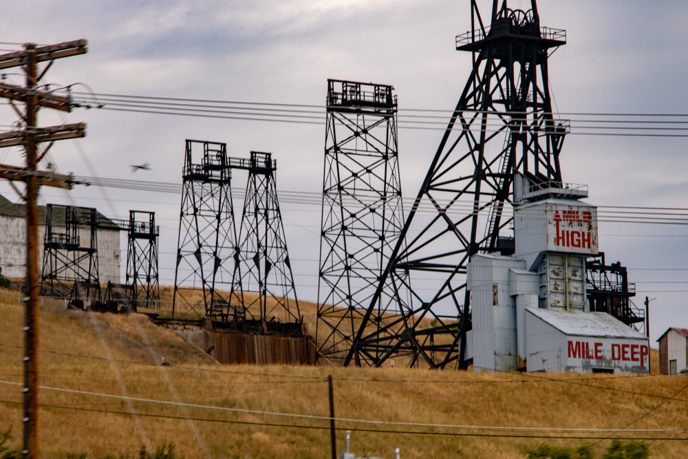
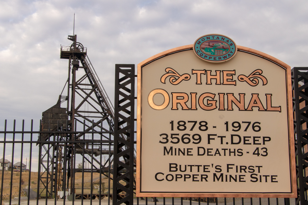
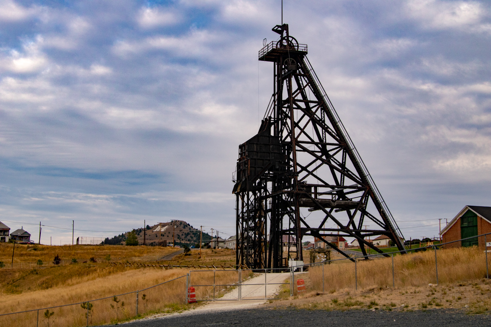
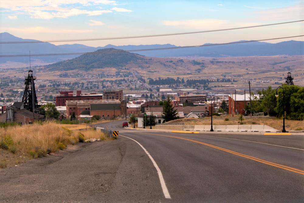
We woke up in Butte to a cool 40 degrees this morning. We had breakfast, packed the car (we got this down to a science), got gas and snacks at the Conoco gas station. We drove around Butte to learn some of the history. Established in 1864 as a mining camp in the northern Rocky Mountains on the Continental Divide, Butte experienced rapid development in the late-nineteenth century, and was Montana's first major industrial city. In its heyday between the late-nineteenth and early-twentieth centuries, it was one of the largest copper boomtowns in the American West. Employment opportunities in the mines attracted surges of Asian and European immigrants, particularly the Irish; as of 2017, Butte has the largest population of Irish Americans per capita of any city in the United States. I understand there is more under the sidewalks of Butte that what you see above it.
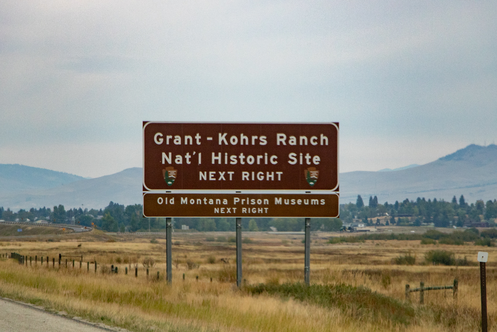
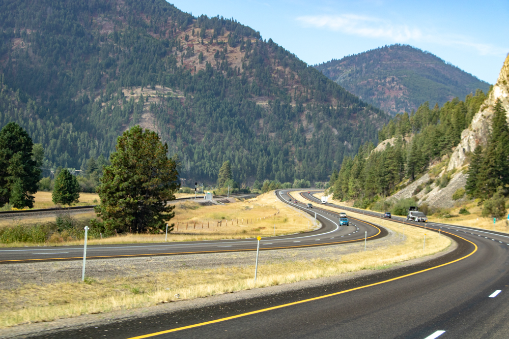
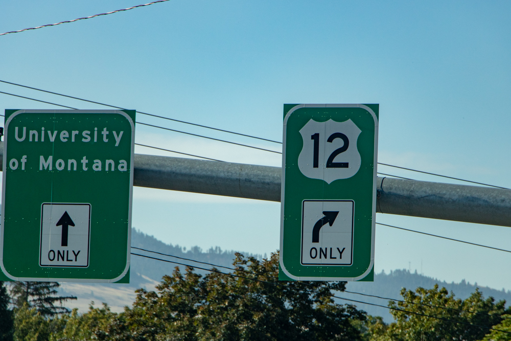
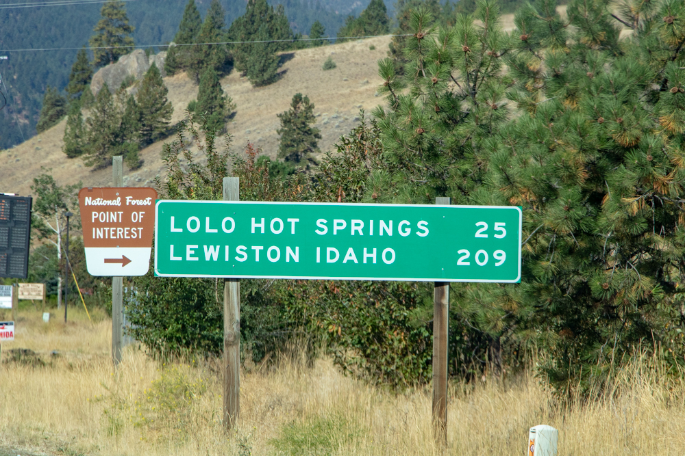
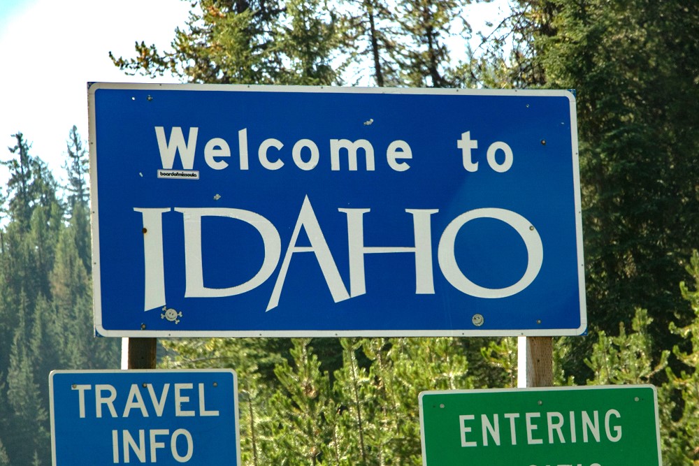
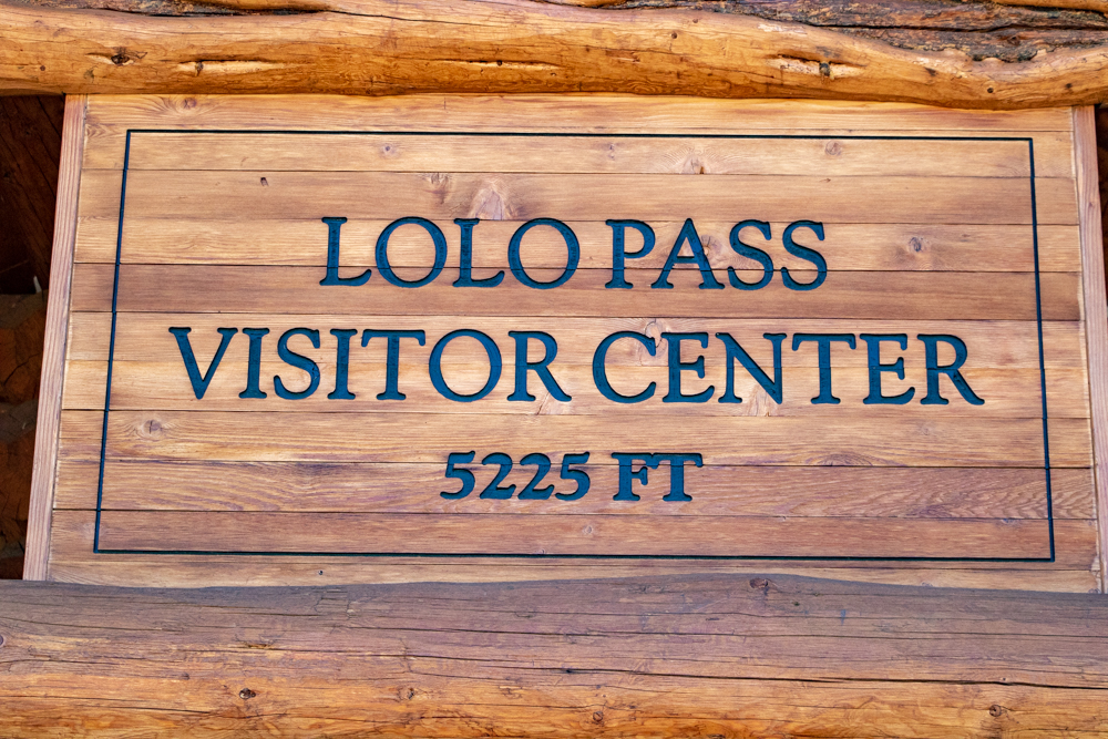
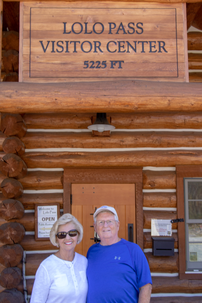
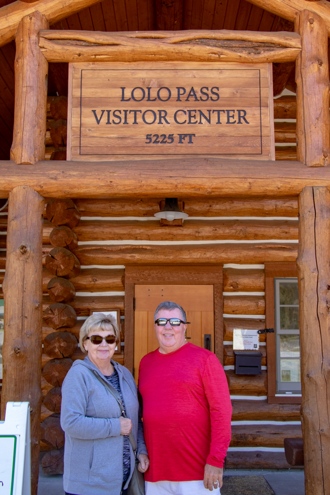
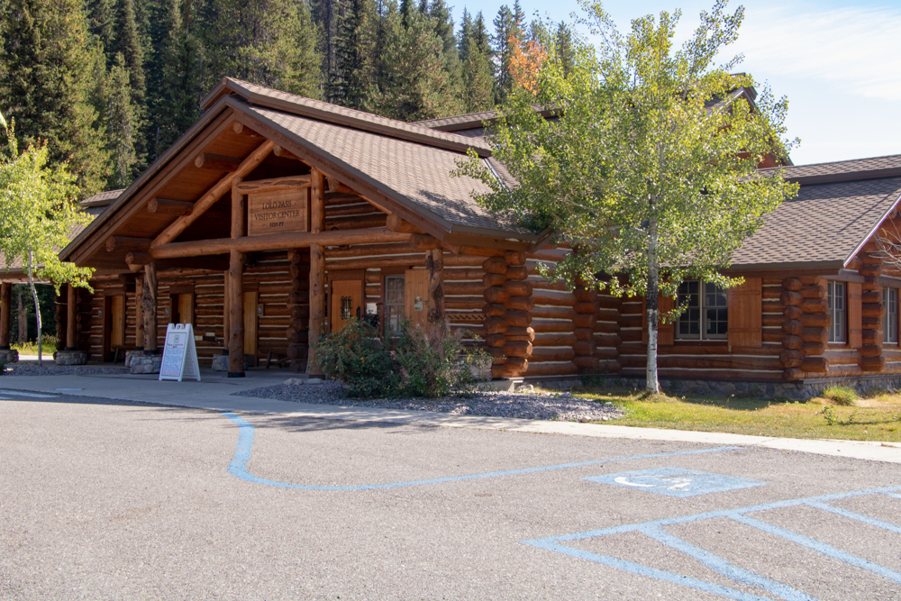
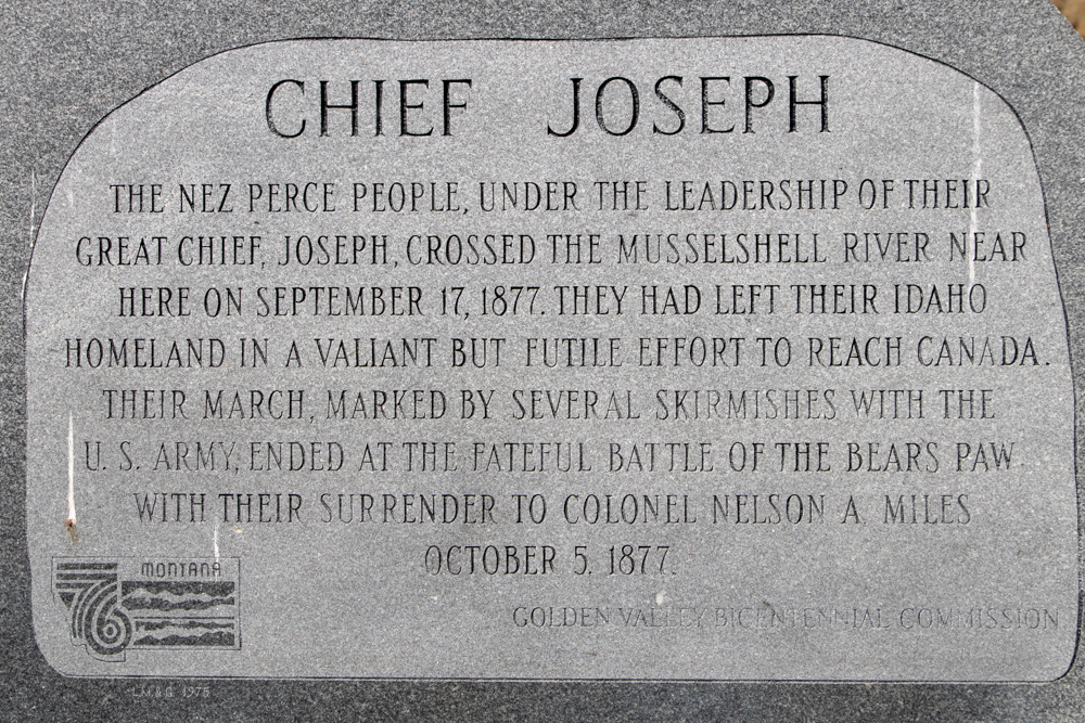
We hit I-90 North toward Missoula. We passed by Grant-Kohr’s Ranch National Historic site but decided not to stop. In East Missoula we took US-12 west and drove to the Lolo Pass, Idaho Visitors Center and learned of Lewis and Clark's route through Lolo Pass (he did not call it that) over the Bitterroot Mountains and of the relationship with the Nez Perce Indians. When Clark and a few men that had moved ahead of the Corps found the Nez Perce tribe in September 1805, he let them know he was not an enemy. The Nez Perce lodges were located in the plains west of the Rocky Mountains. The Nez Perce provided the Corps with food, information about the route ahead, and a place to stay. Communication with the Nez Perce tribe was fairly difficult because the tribe spoke a very different dialect from the tribes in the East. Lewis and Clark told the Nez Perce Indians about the trading posts and intertribal peace they wanted to establish in the region; the tribe agreed to cooperate as long as they were given guns and other weaponry. In exchange for food supply, Clark treated the illnesses and diseases the Indians acquired. Also, the Corps traded their horses for goods; they got their horses back when they stayed with the Nez Perce on their way back home in May 1806.
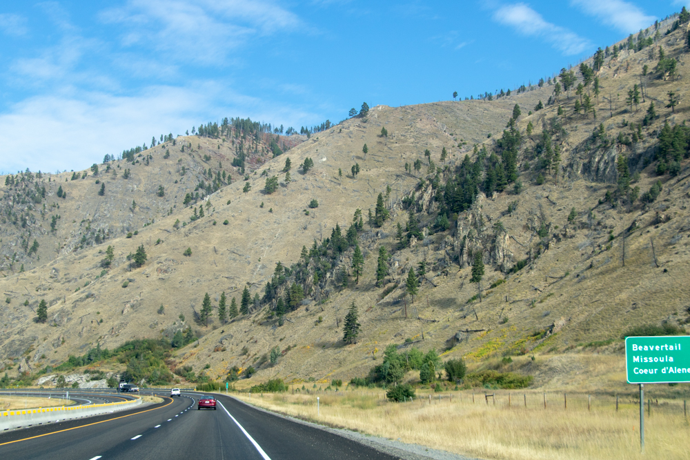
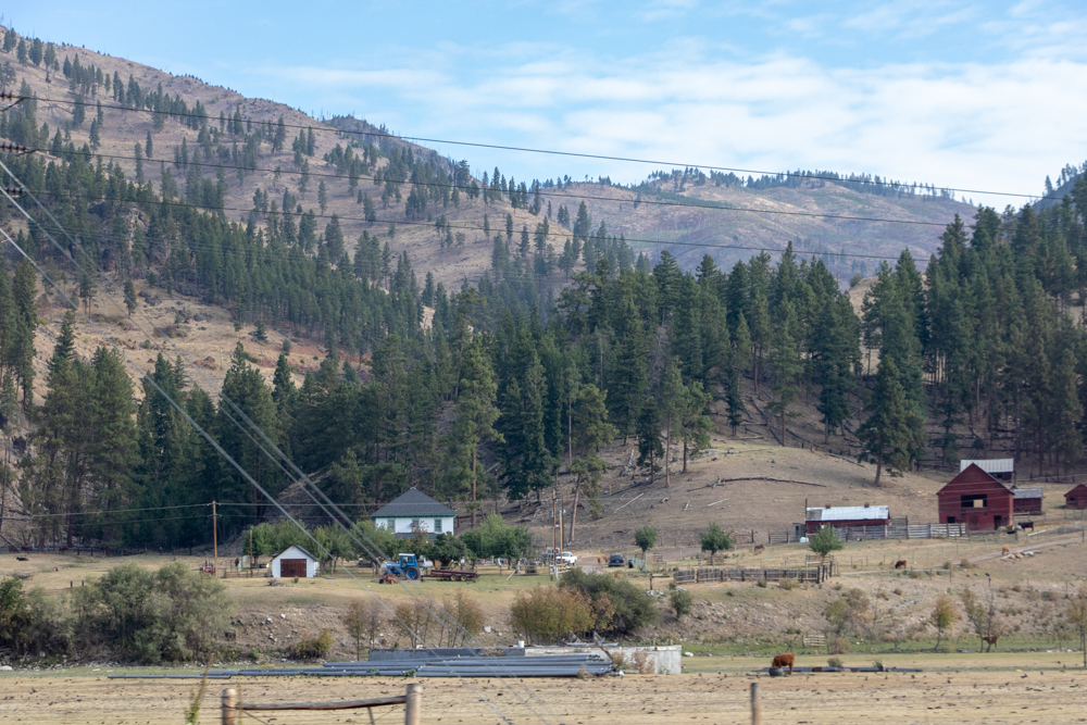
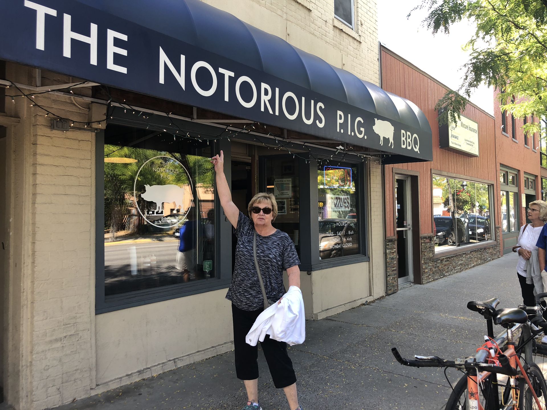
With brains full of knowledge (and another state in the books on our quest to visit all 50) we drove back to Missoula (home of University of Montana) There is one picture of the burned hills on US-12 from a fire that occurred 3 years ago. We ate lunch at "The Notorious PIG" downtown. The deep fried pork skins were great as well as pulled pork and brisket. We left Missoula and headed north up US-93 to Kalispell and checked in to our hotel by 4:00 pm. We had dinner at the Hu Hot Mongolian and then ice cream downtown Kalispell. Tomorrow we start Glacier!
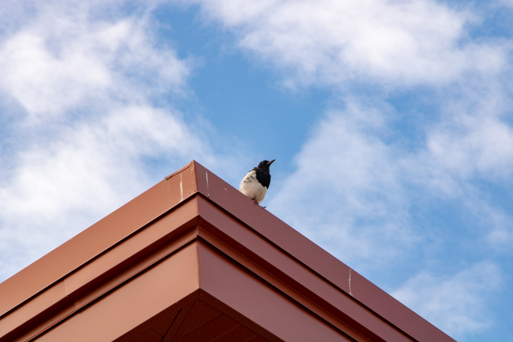
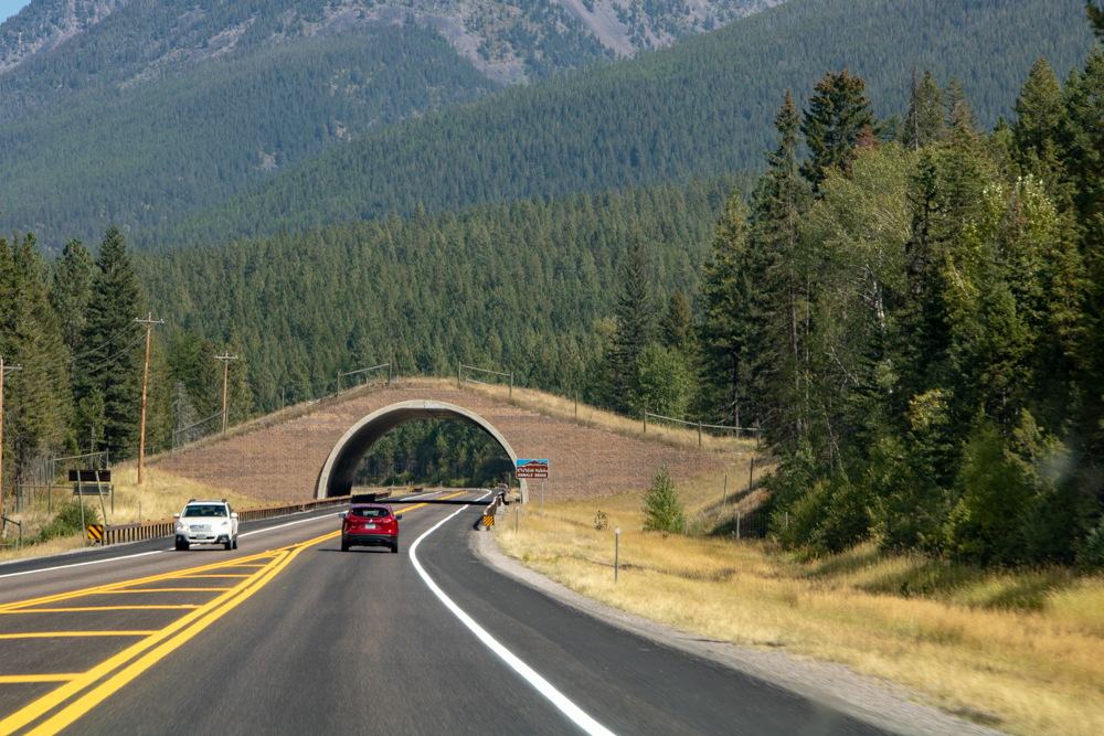
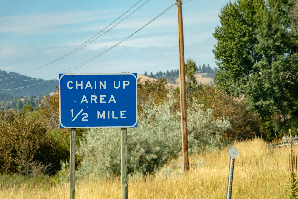
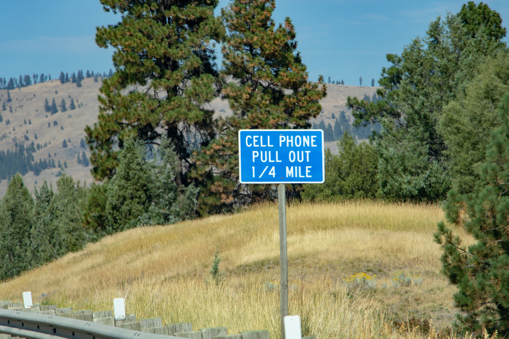
Side note: I watch for road signs that we normally do not see in Tennessee. Chain Up areas, Cell Phone pull out, Moose Crossing and Speed Limit 80 mph. I also see a bird we do not normally see in Tennessee - magpies (black and white birds about size of a small crow). Who remembers Heckle and Jeckle? And on US 93 there is a bridge for animal crossings. Pronghorns migrate each year the same path. When the highway was built it was in the middle of the migration path so they built a bridge for the pronghorn migration. Who knew?

2018 West - Day 7 - Mon, 9.10.2018
Kalispell to East Glacier Park, MT
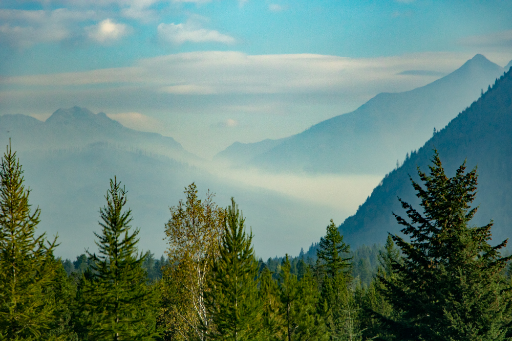
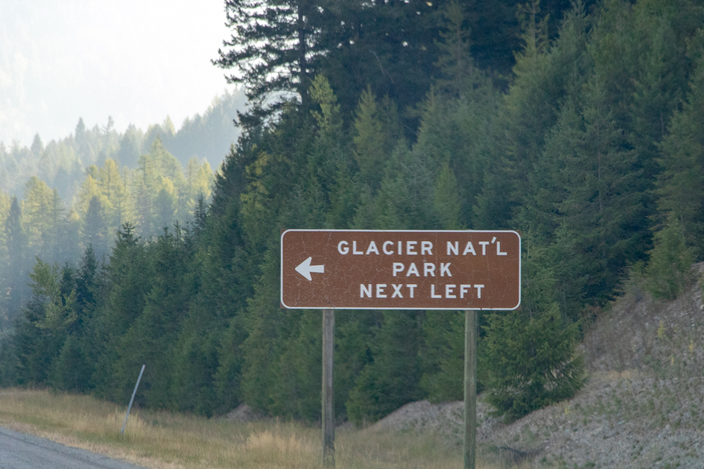
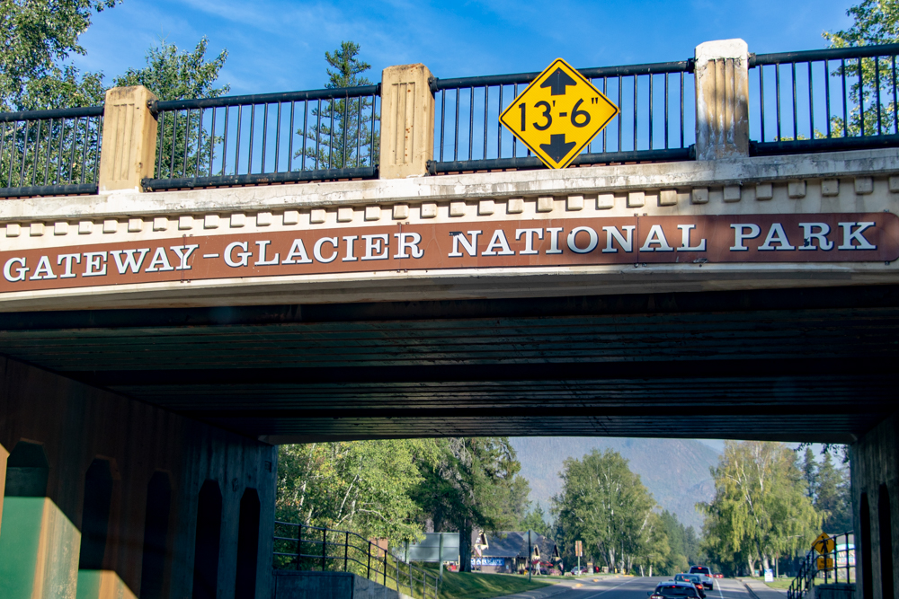
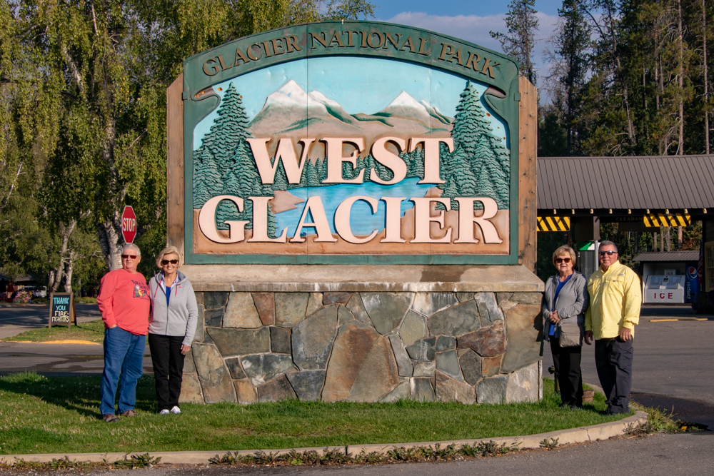
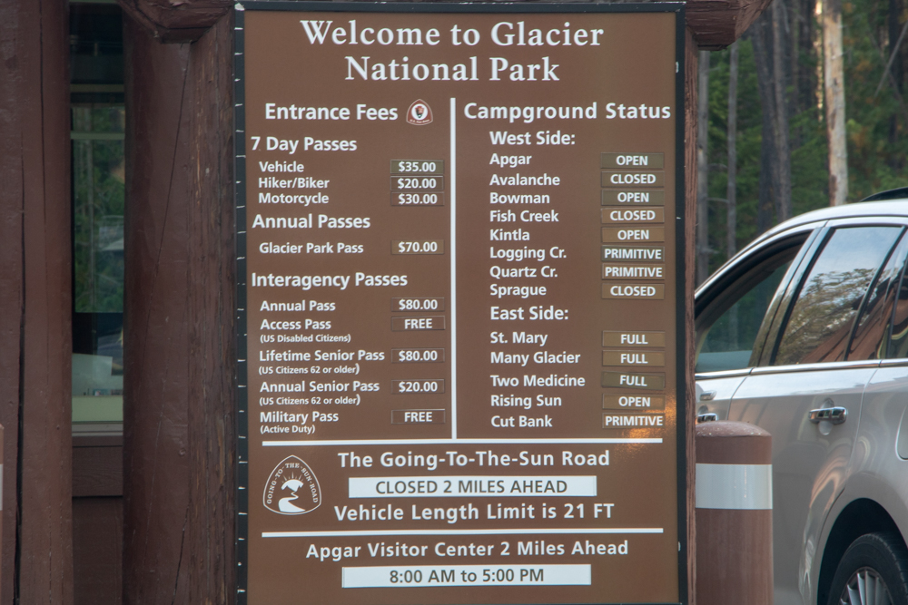
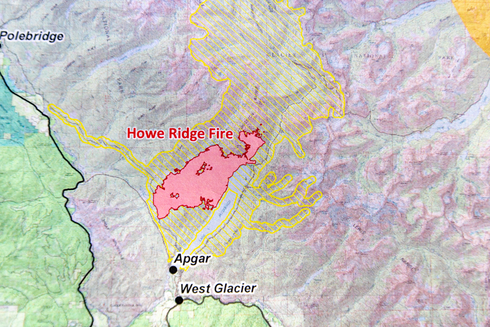
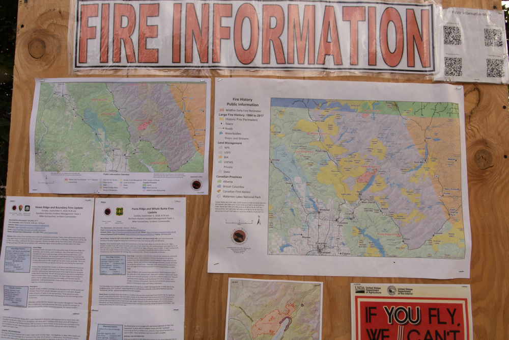
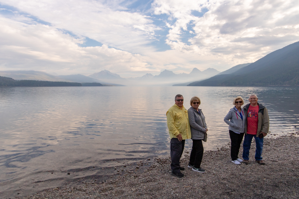
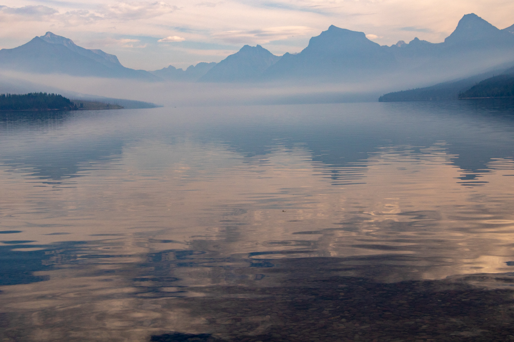
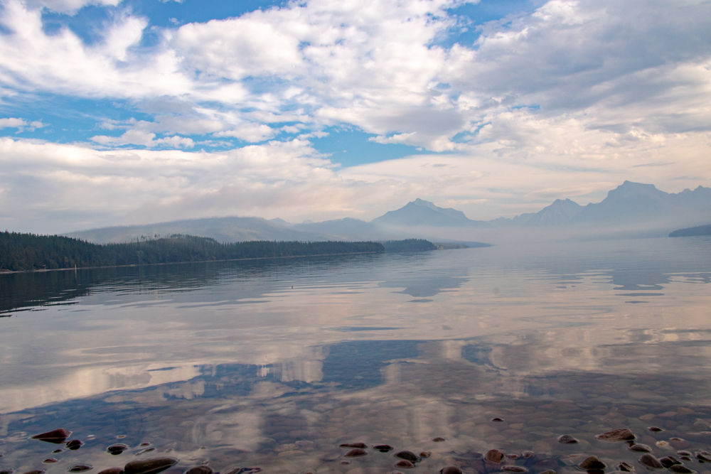
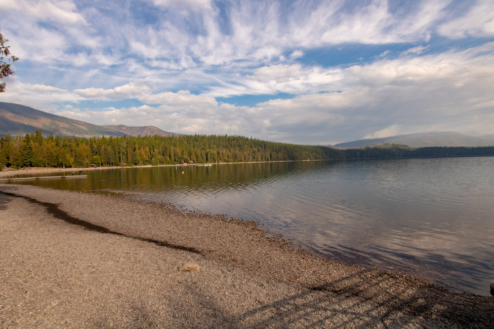
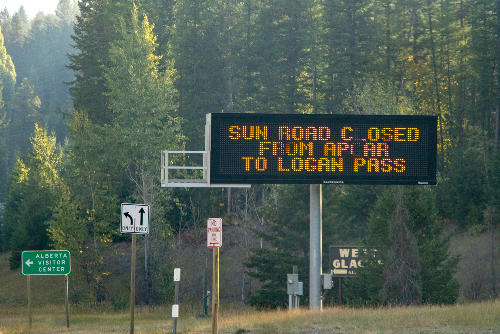
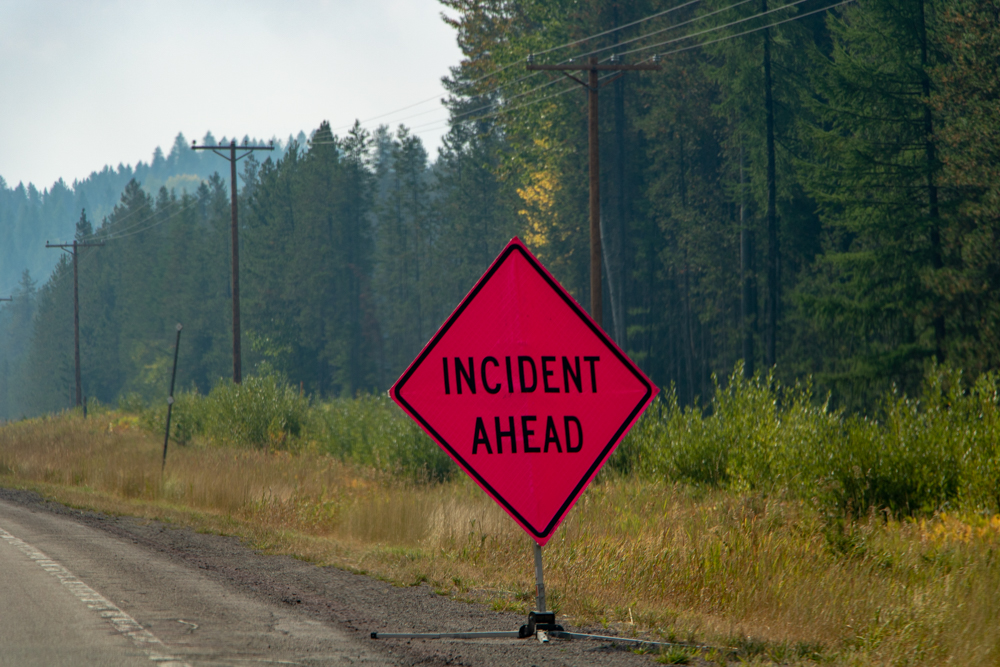
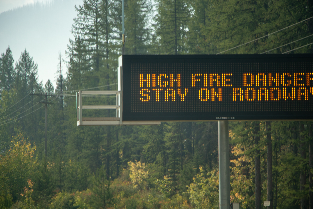
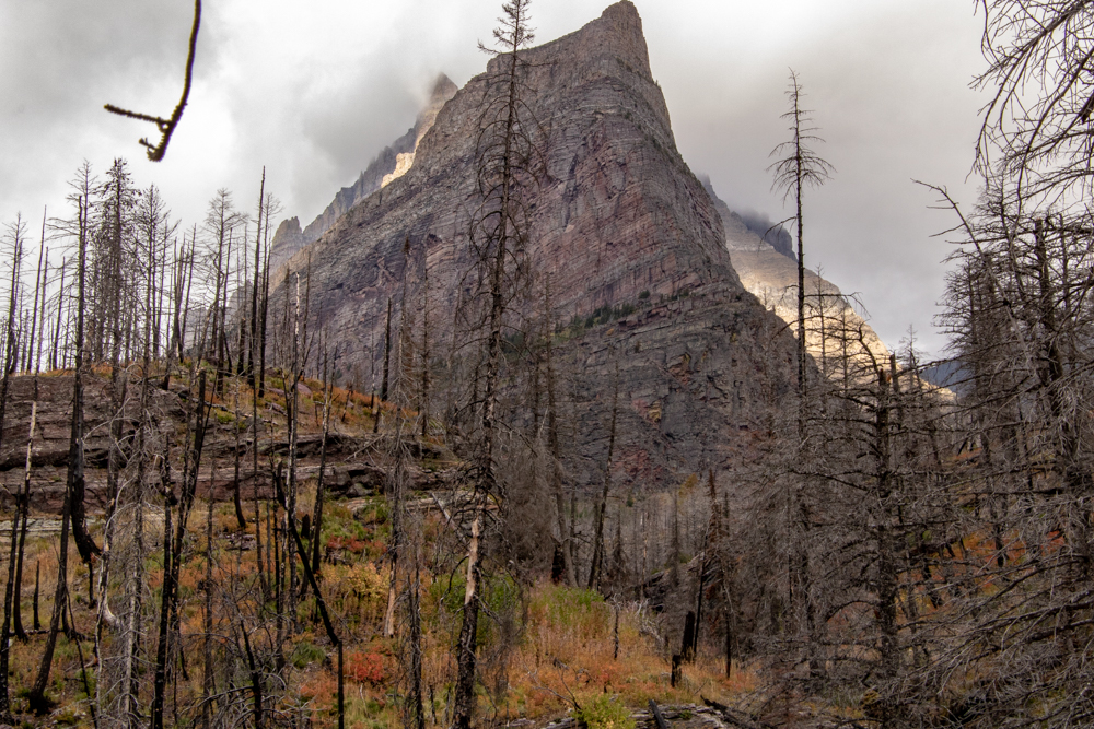
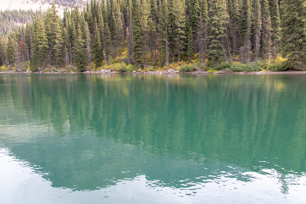
We woke up this morning with 41 degrees in Kalispell. We had breakfast and packed up the car and headed towards West Glacier. Our initial reservations were at the Lake McDonald Lodge with a Red Bus Tour across Road to the Sun. Those plans changed with the Howe Ridge fire just north of Lake McDonald. Lake McDonald Lodge and Road to the Sun is closed for the season. We did make it as far as the Apgar Village and took some pictures at Lake McDonald. Most of the pictures will show the smoke at the far end of the lake.
We did a little shopping at the Apgar Gift Shop and headed towards East Glacier on US-2 where we will stay for the next two nights. We wanted to stop at the Goat Lick to see a few mountain goats but, without Internet and Waze, we missed them somewhere along the way. There must have been another fire in southern Glacier as there was a lot of smoke in the valley.
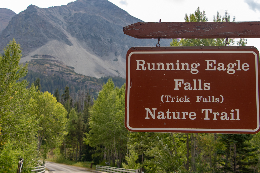
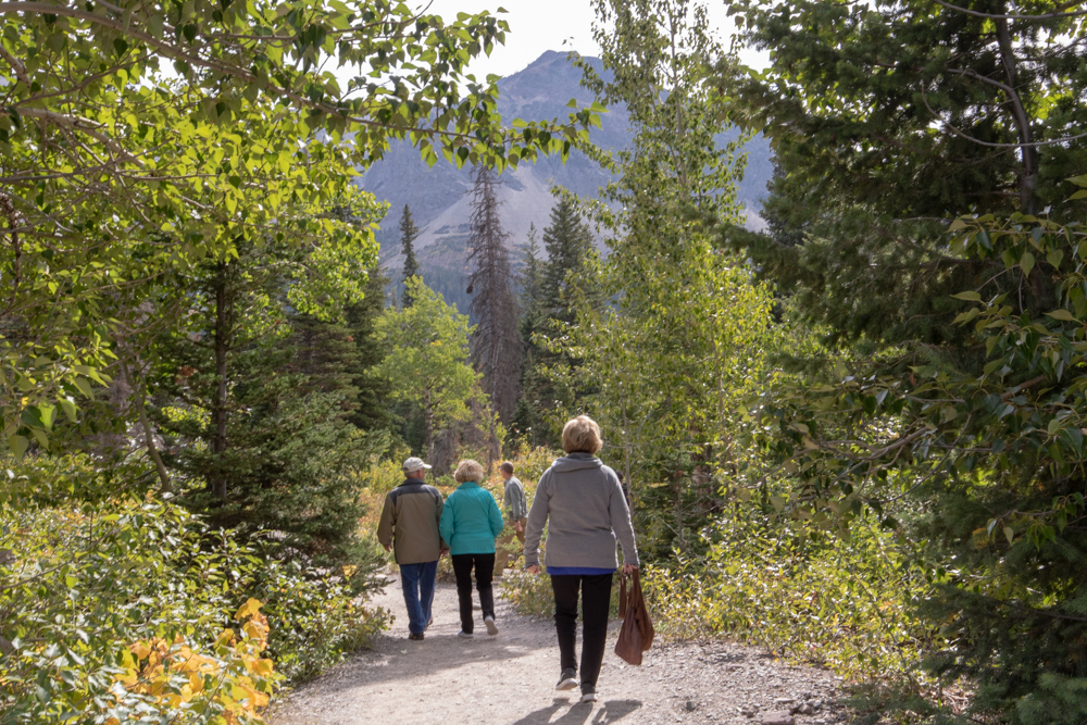
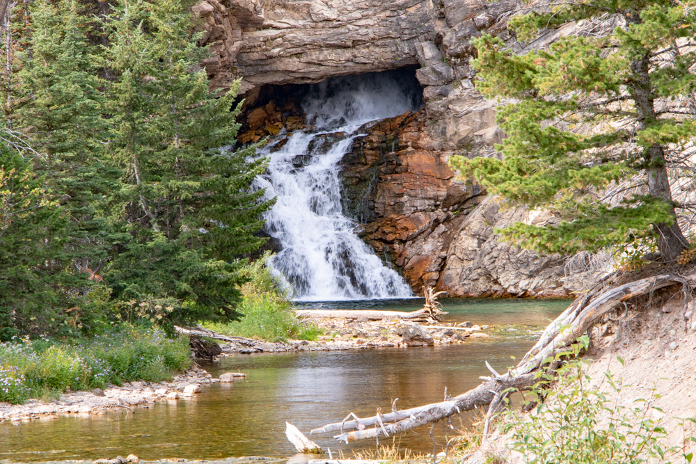
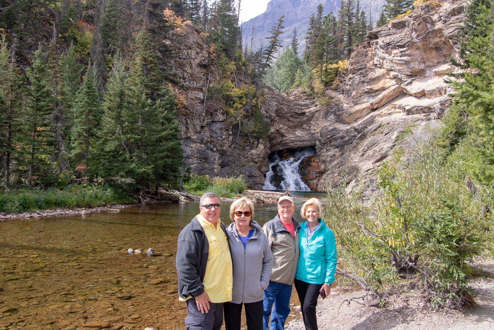
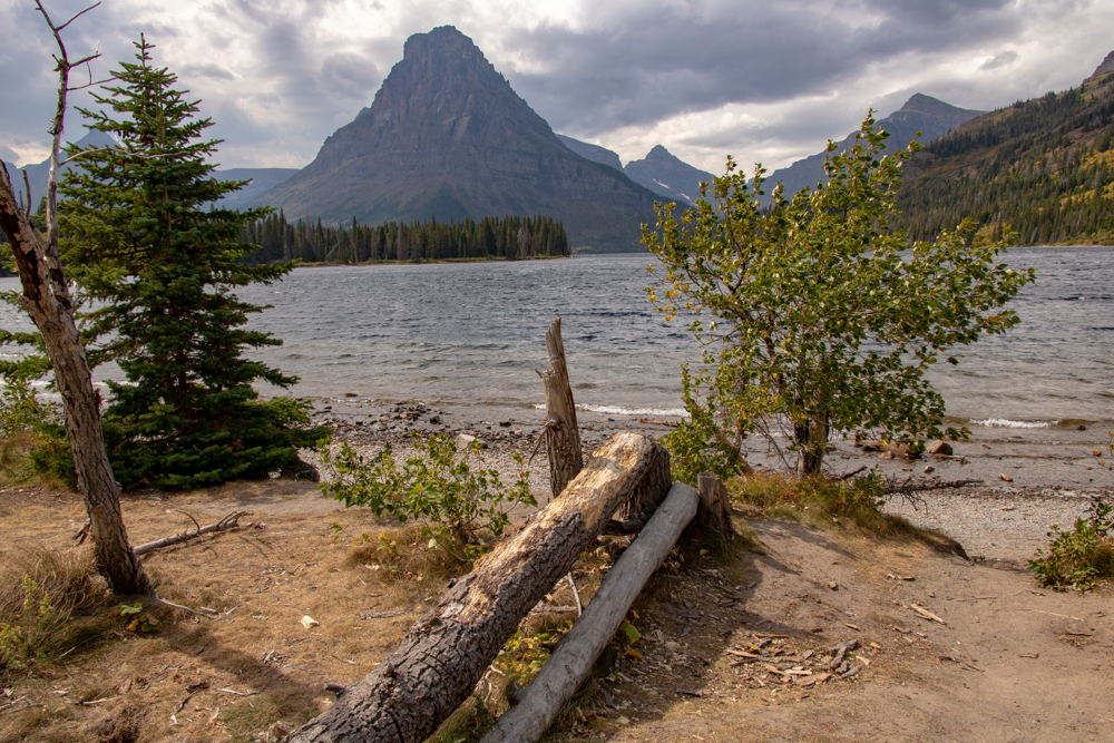
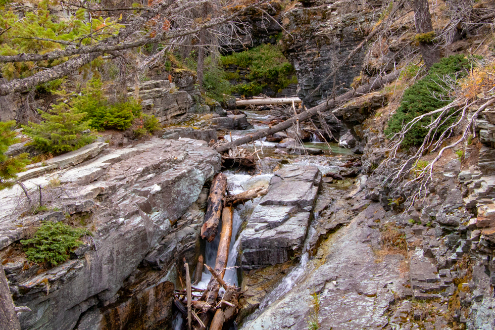
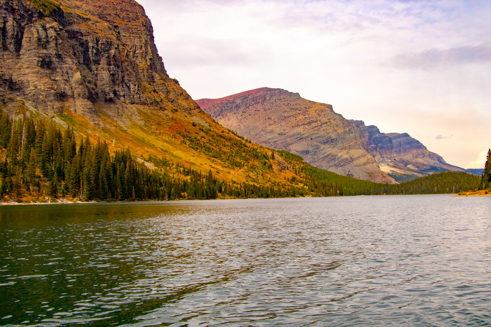
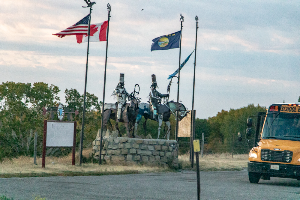
When we got to East Glacier we had lunch and drove over to Two Medicine Lake which is located in the Blackfeet Indian Reservation. The largest peaks at Two Medicine are Rising Wolf and Sinopah. We had hoped to get some great pics with reflections in the lake but the it was very windy and the lake choppy. We did a short hike to Running Eagle Falls.
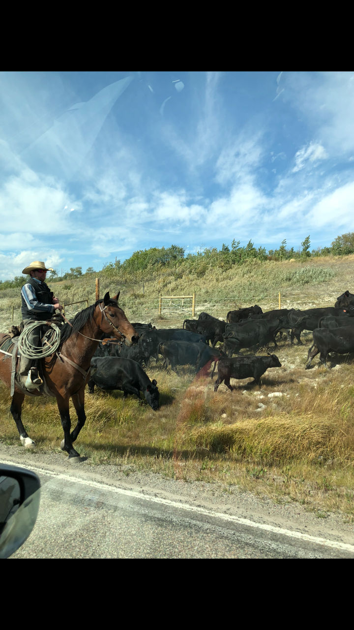
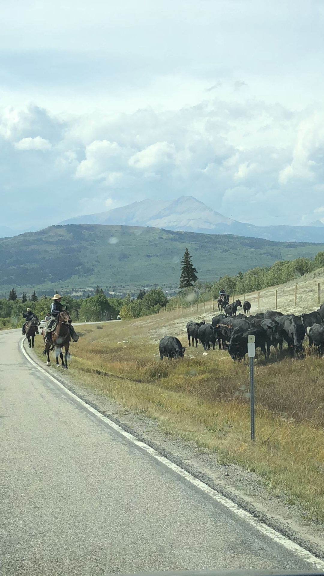
We decided to head up to St. Mary's which is the eastern entrance to Glacier and where we will catch the Sun Tour bus to Logan Pass over the Going to the Sun Road on Tuesday. We saw a couple of "cowboys" driving their cattle on the side of the road. We found St. Mary's and headed back to East Glacier for the night. We had dinner at Serrano's Mexican Restaurant. Gwen and Patsy did a load of wash as after 7 days on the road we were running out of clean clothes.
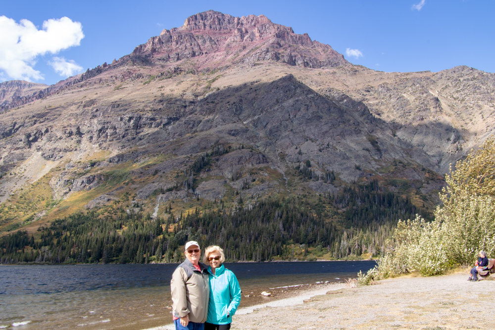
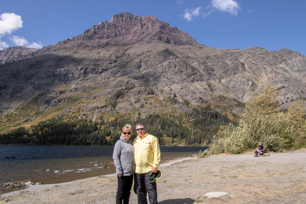
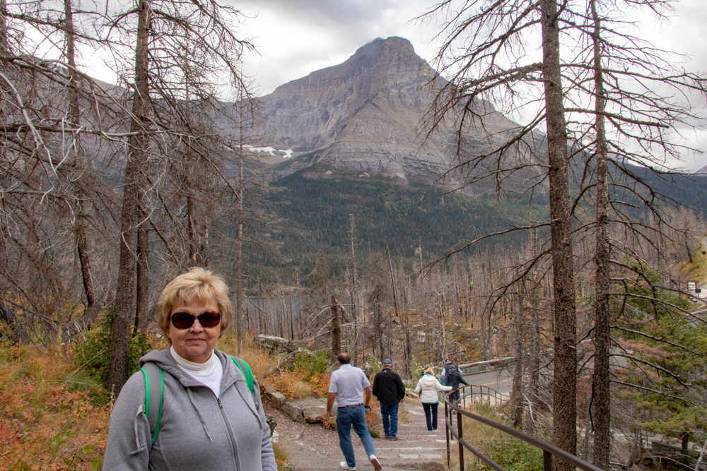
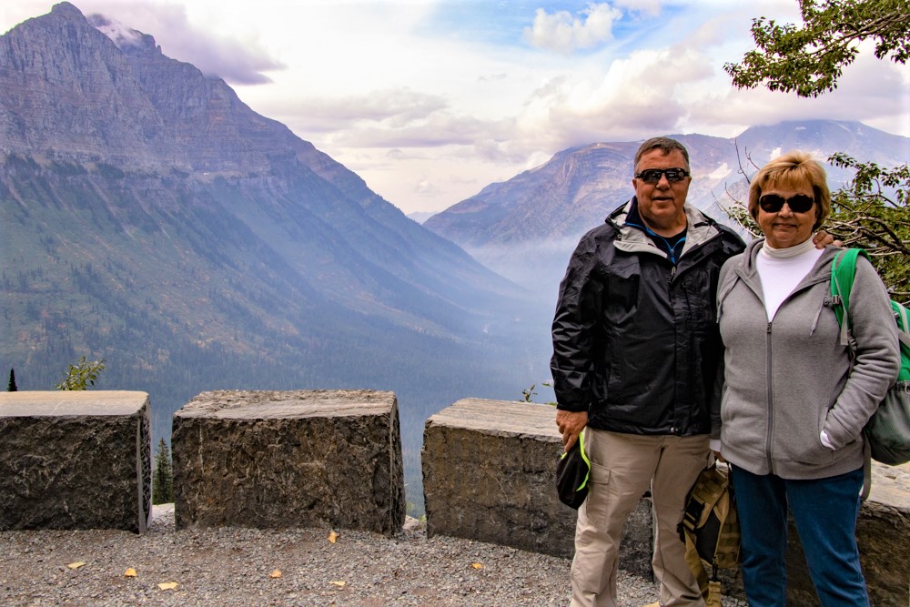
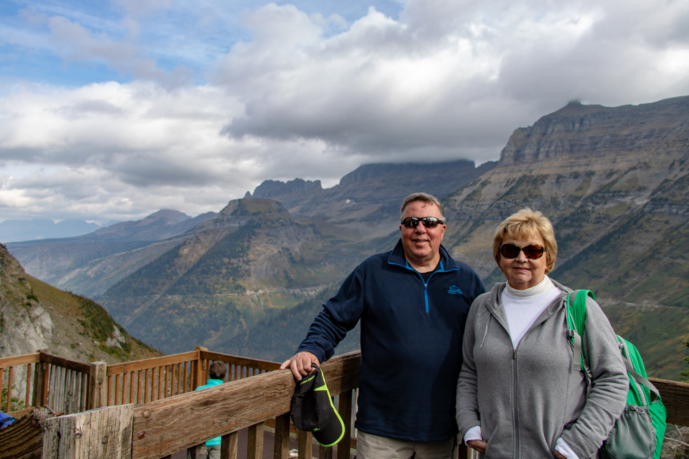
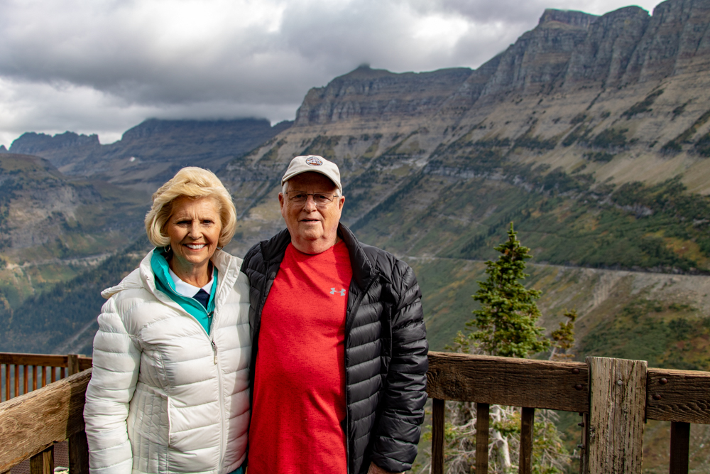
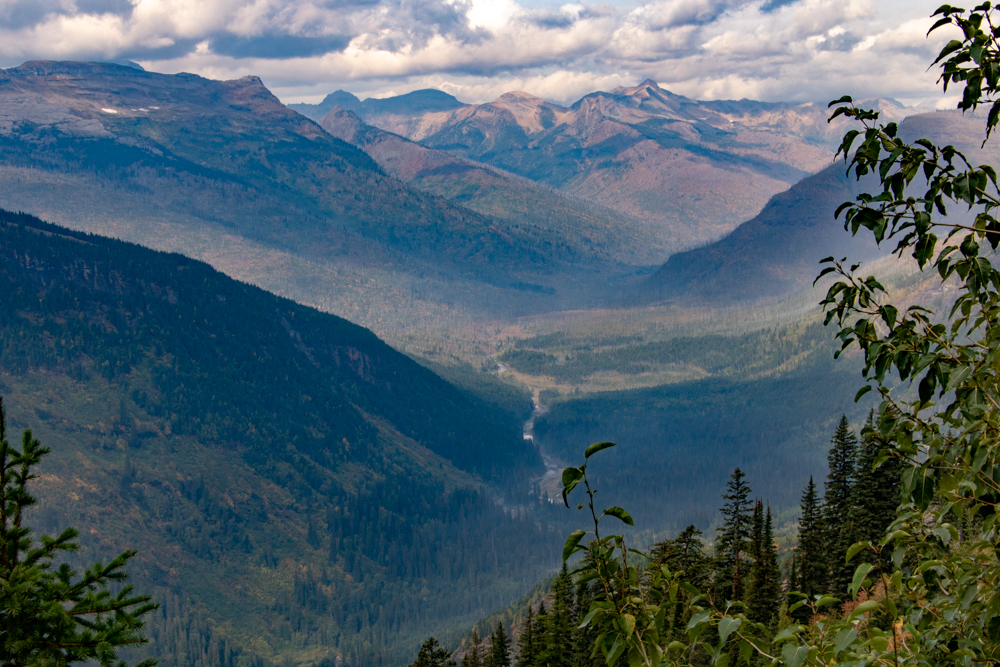
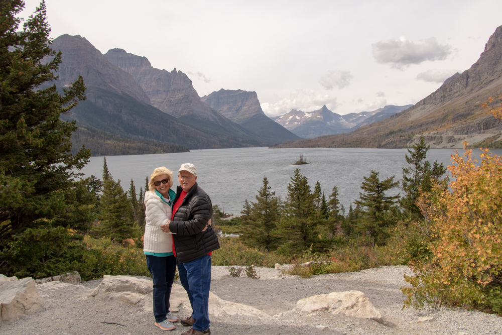
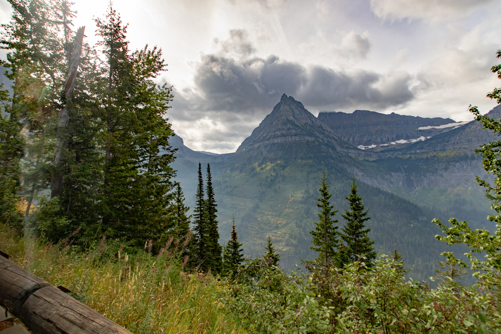
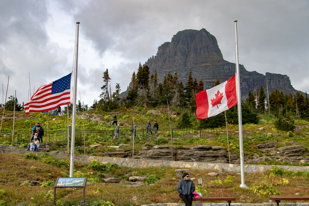
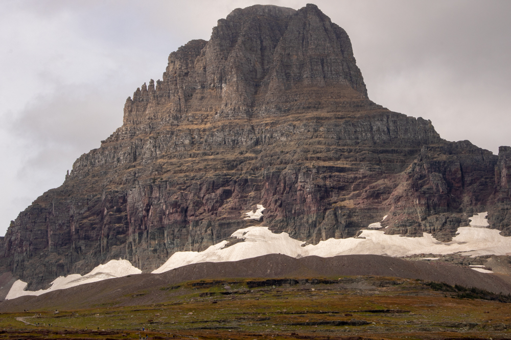
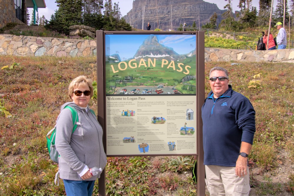
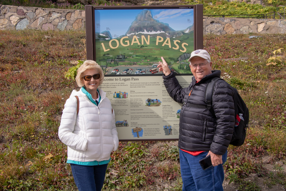
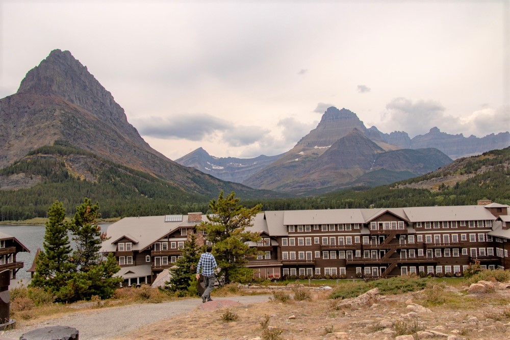
2018 West - Day 8 - Tue, 9.11.2018
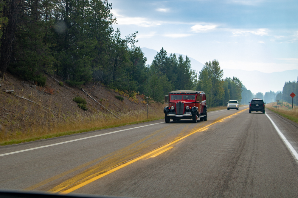
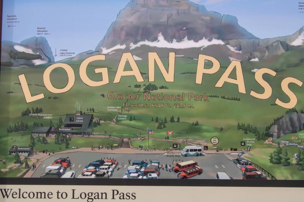
Going to the Sun Road, Swiftcurrent Lake
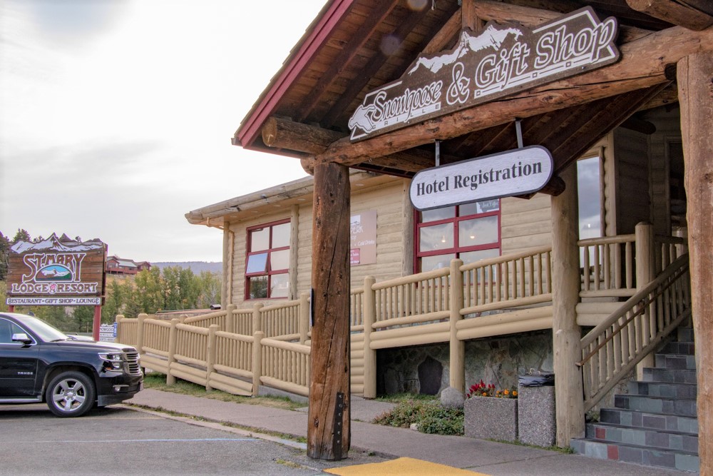
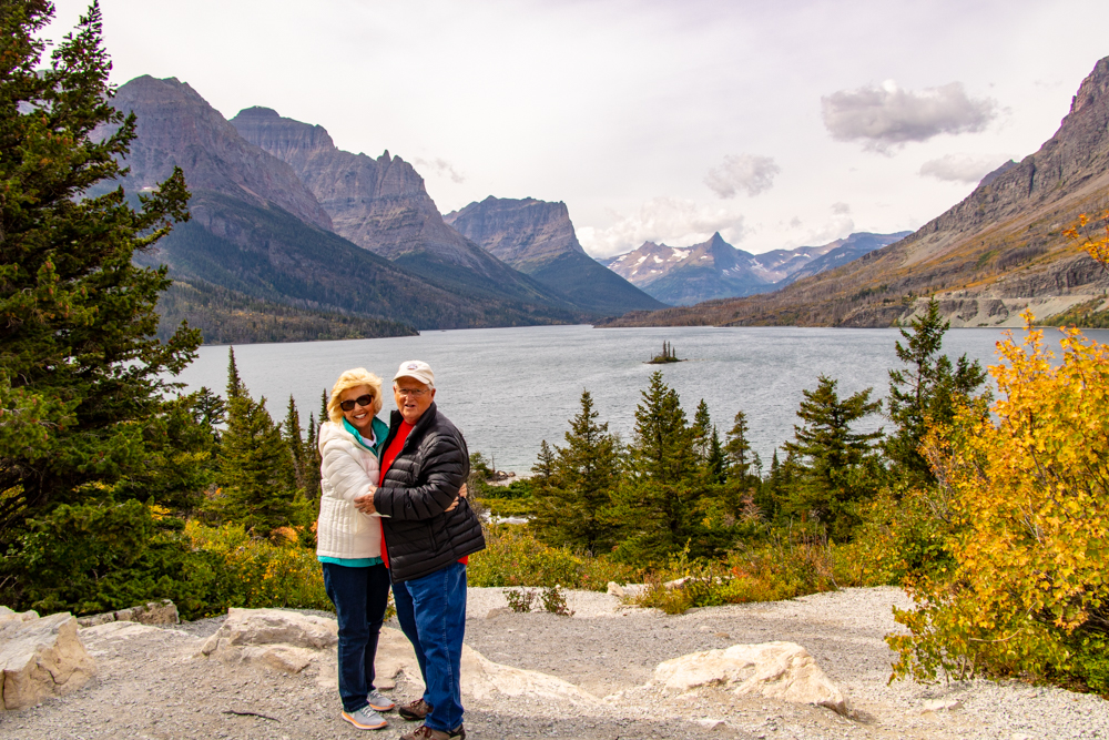
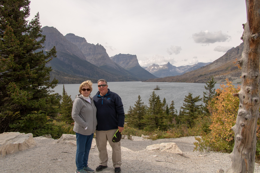
Just a short blog tonight as it has been a long but wonderful day. We woke up to a warm 47 degrees, got dressed (for the first time in a week did not load the car) and headed for St. Mary's Visitor's Center. We had breakfast, including huckleberry pancakes, at the St. Mary's Lodge. We were supposed to catch the Sun Tour bus at St. Mary's so we stood outside until 9:15 and realized the tickets were for St. Mary's Visitor's Center. We jumped in car and went through the park entrance to find our bus waiting for us.
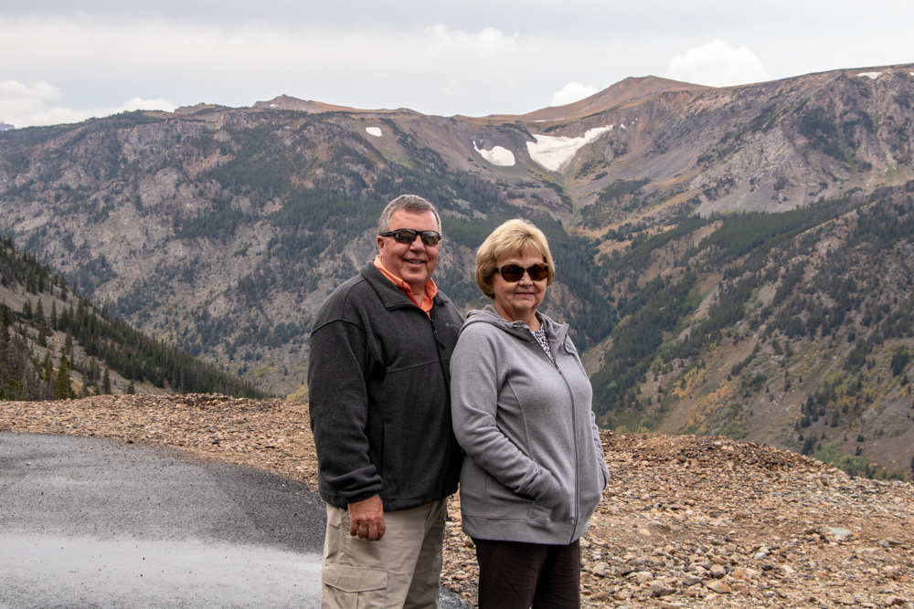
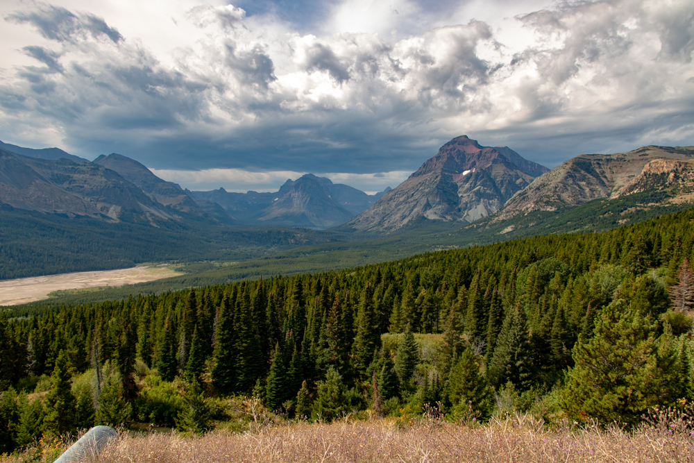
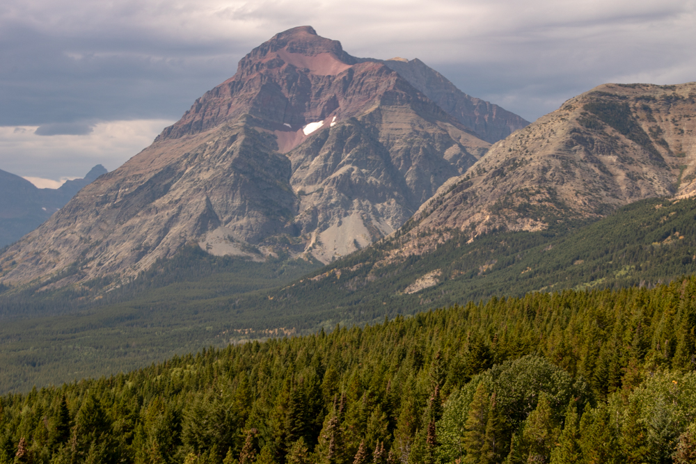
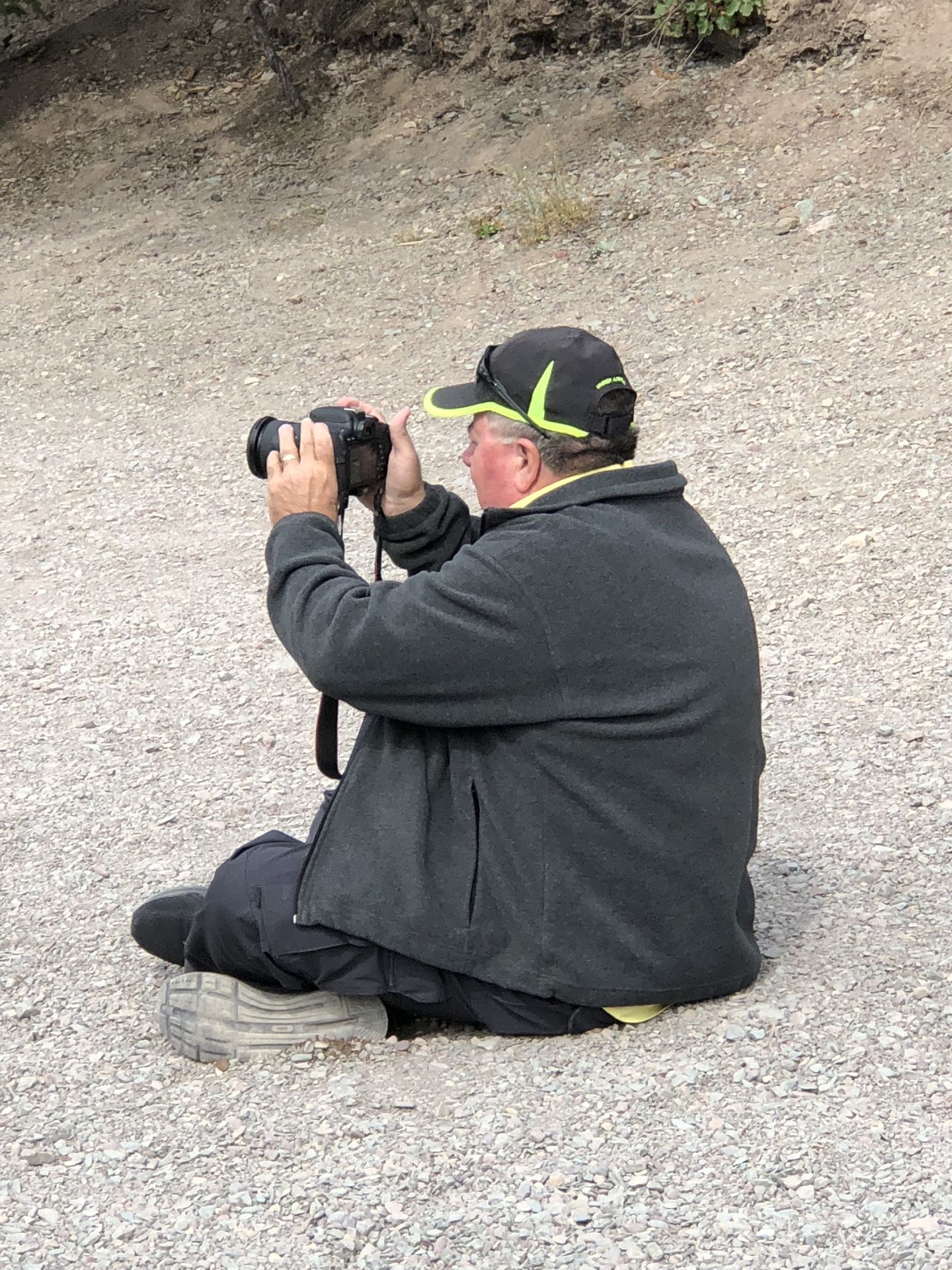
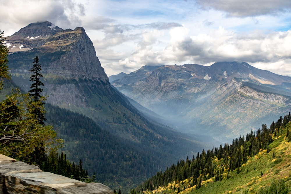
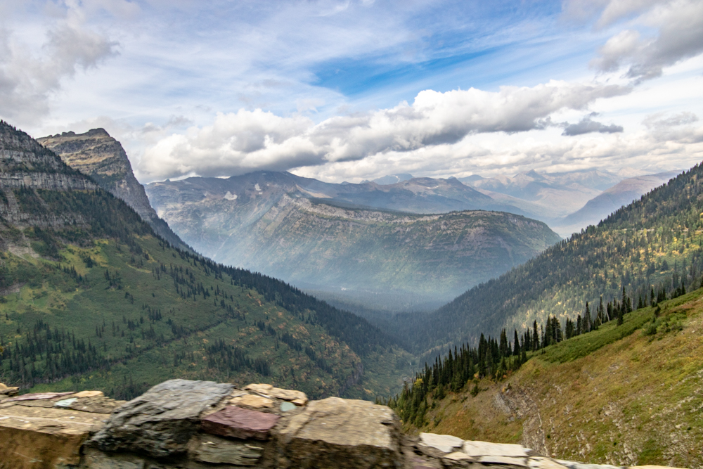
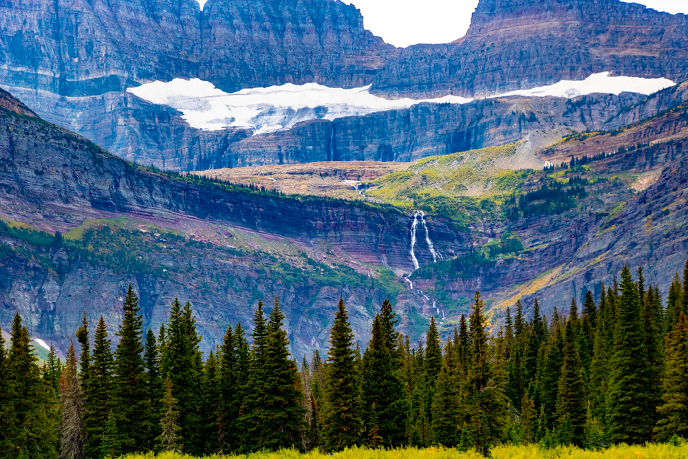
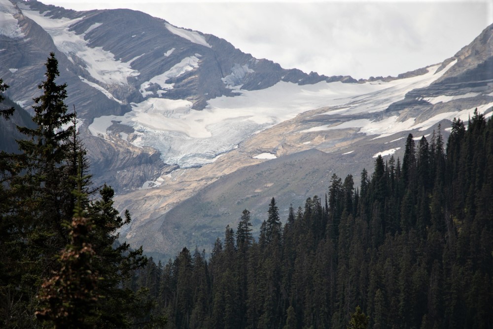
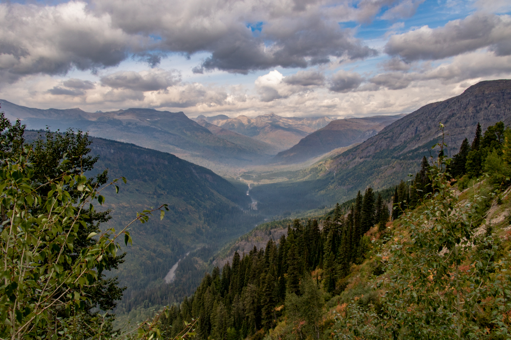
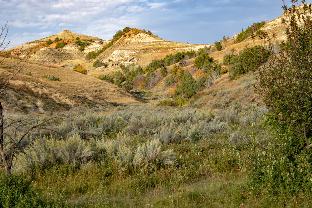
We jumped on and headed for Logan Pass on the Going to the Sun Road. Due to the fires, the road is closed beyond Logan Pass, which is the summit for the drive, and is located on the Continental Divide. The Park Rangers were allowing some tour buses beyond Logan Pass so we were able to drive almost to Lake McDonald Lodge. It is impossible to describe Glacier and photos do not do it justice. We really need 3D cameras. The peaks are beautiful and "majestic" and the cuts the glaciers made are not describable. I included pictures but they are inept to show the heights of the peaks and depth of the valleys.
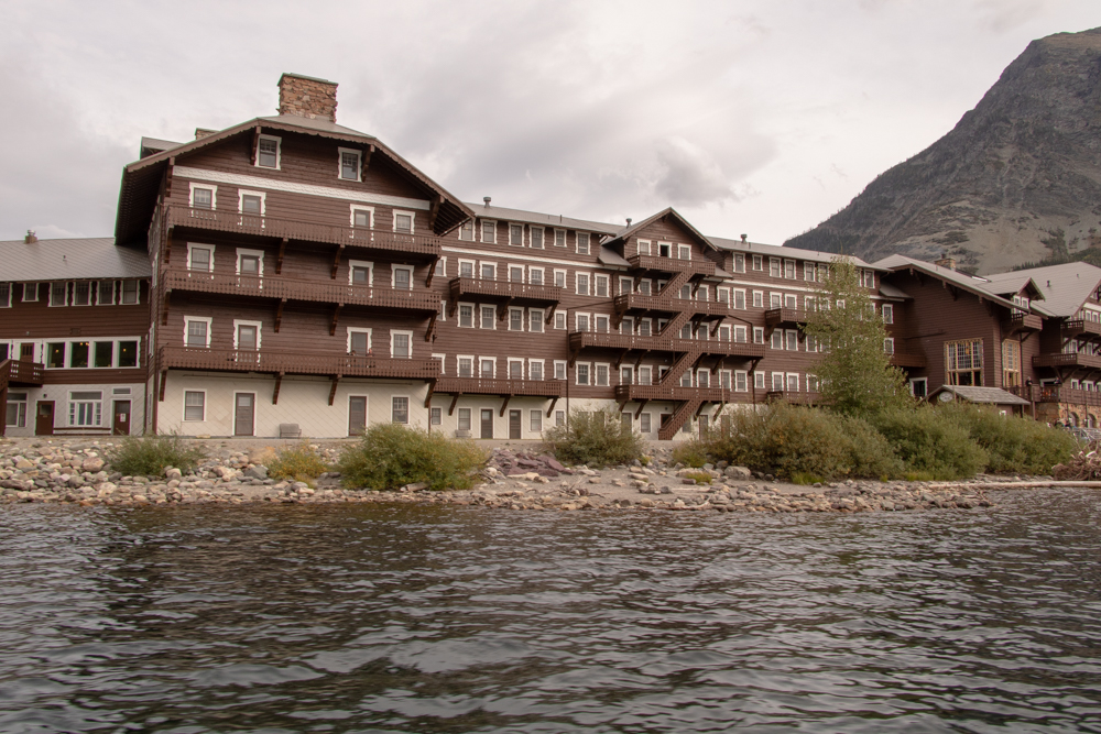
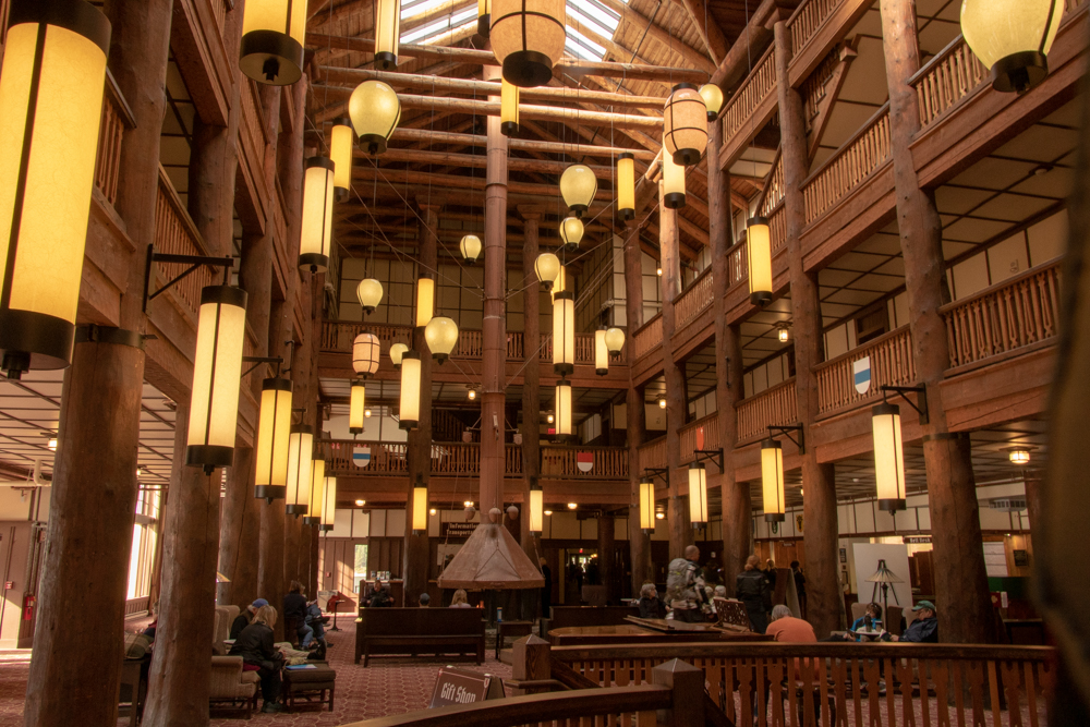
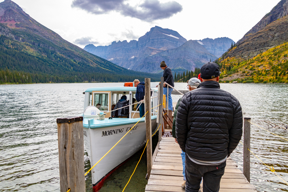
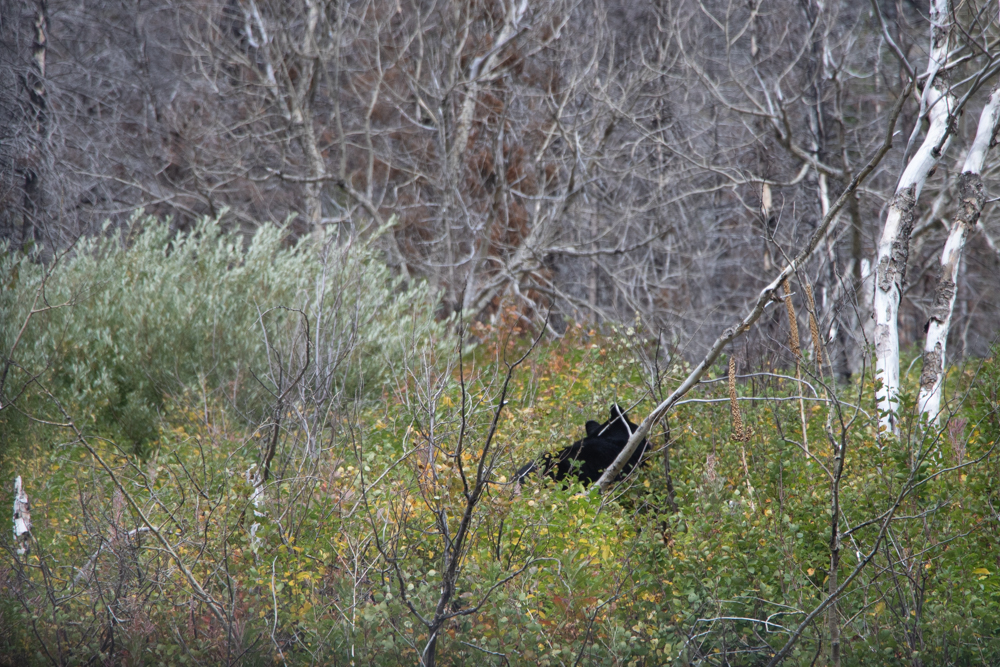
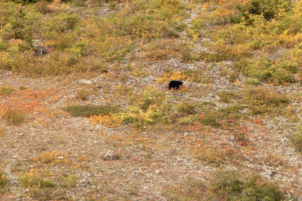
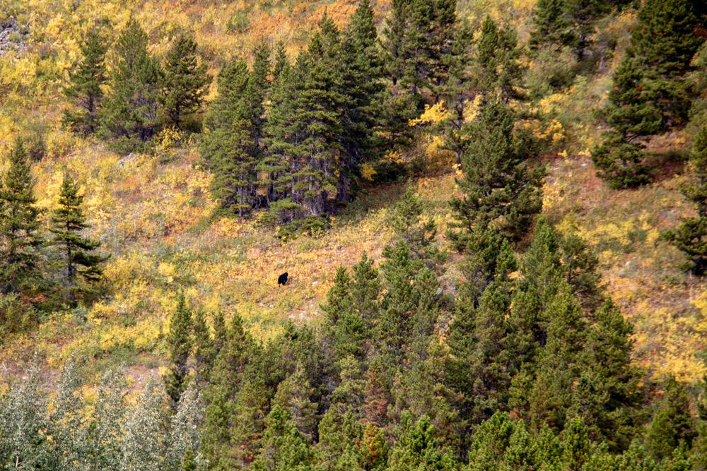
After the tour we jumped in the car and headed north for the Many Glacier hotel where we had lunch. We finished lunch around 2:30 pm but our boat tour was not scheduled until 4:30 pm. We headed down to the docks are able to change to a 3:00 pm tour. The tour takes you to the top of Swiftcurrent Lake where you get off and hike over a hill for 0.2 mile to board another boat that tours Lake Josephine. We saw one black bear on Swiftcurrent Lake on the way and then saw grizzlies (mom and 2 cubs) on Lake Josephine. When we got back on boat at Swiftcurrent we saw the same black bear as before plus a brown bear. You really have to look to pick them out.
We disembarked and headed back to our condo in East Glacier where we bought pizza in the back of a grocery store. It was time to repack and get ready to leave Glacier tomorrow headed to Billings.

2018 West - Day 9 - Wed, 9.12.2018
East Glacier to Billings, MT
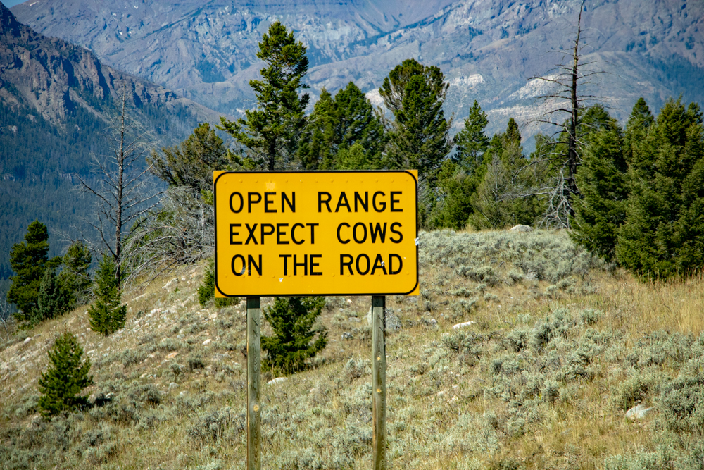
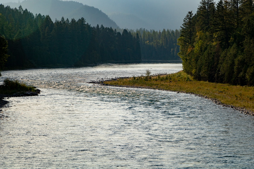
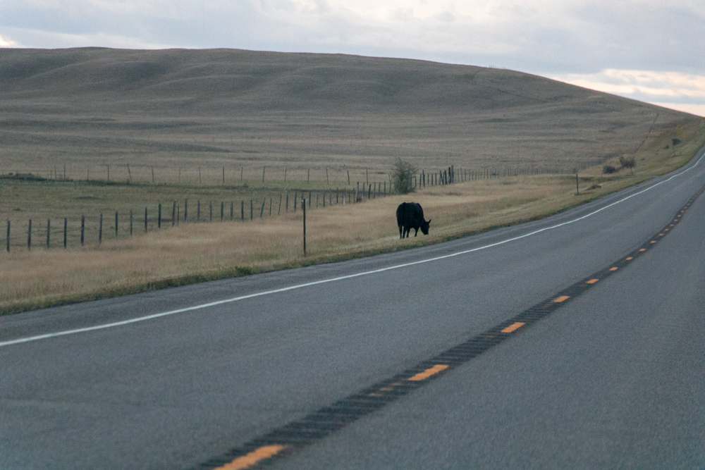
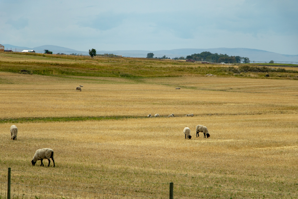
We woke up in East Glacier to a cool 37 degrees. We dressed and loaded up early for we have 362 miles to go today. We left at 6:30 hoping to grab breakfast not far down the road. We watched the sun rise as we headed from the mountains to the Montana plains. In Montana you do have to watch for cattle in the road. Some areas are Open Range and in some areas a stray cow will find a way through the fence.
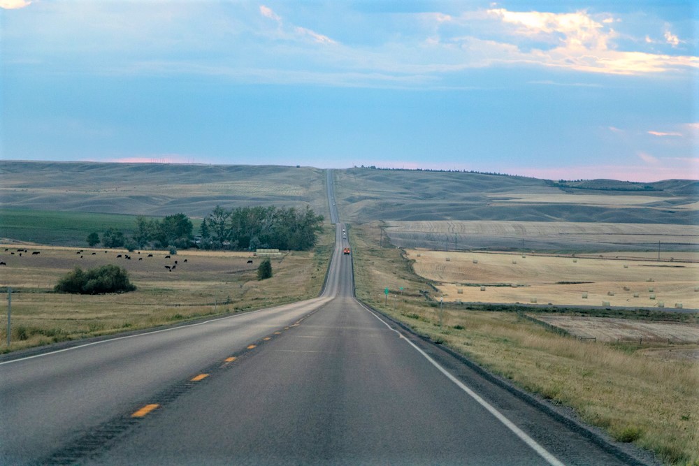
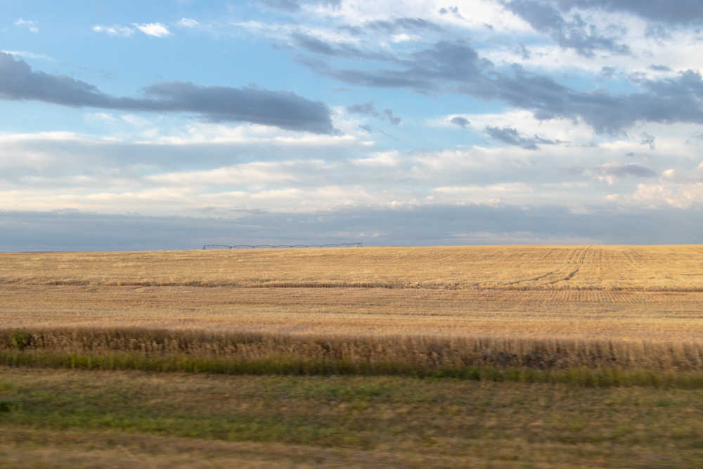
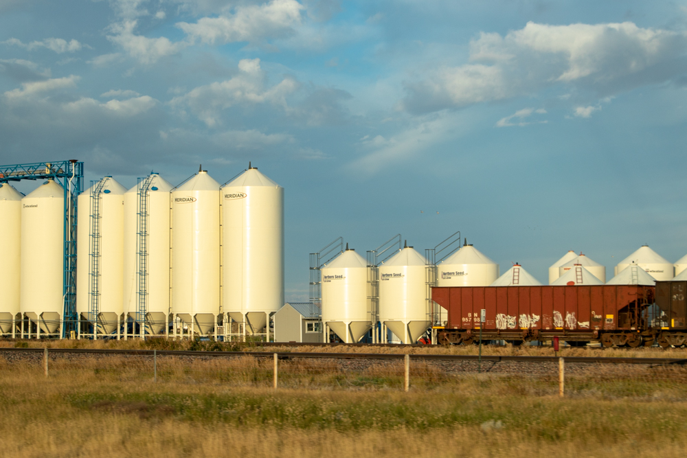
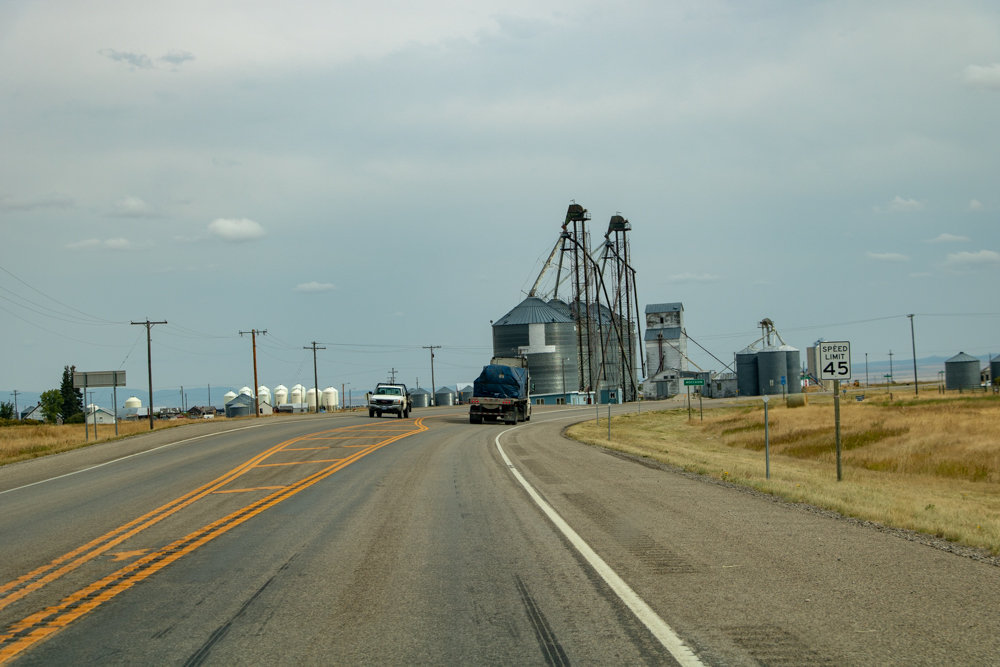
Driving in Montana there are no restaurants - most of the time you see nothing but miles and miles of grain and hay in huge bales or rolls and lots of silos. It appears the school buses do not pick up at homes - they are just too far apart so they wait at a central location and I assume the parents bring the kids to the bus.
We finally got to I-15 and headed south. We got off at the first city, Conrad, and drove through the city, We found one restaurant with no cars in front. We headed back to I-15 and drove to Great Falls and ate at Perkins downtown. Excellent breakfast (minimum 2,000 calories).
We left and went over to the Lewis and Clark Interpretive Center. This is another must see, much like the Oregon Trail Interpretive Center that was in Casper.
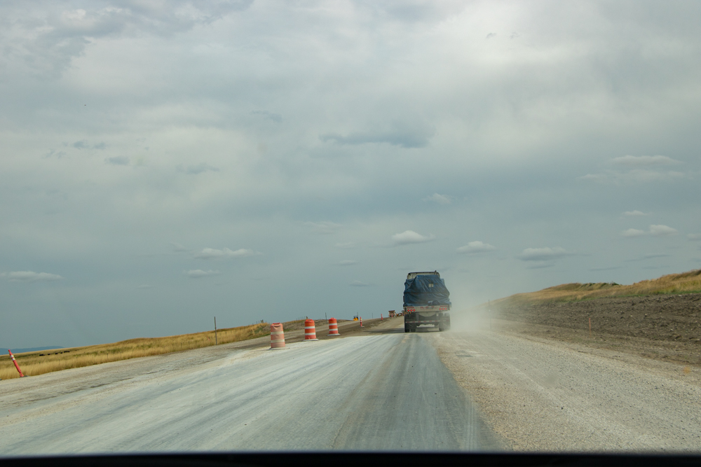
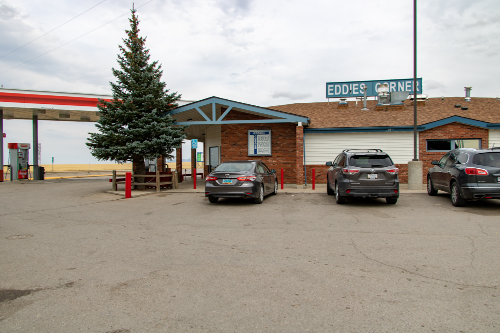
We stayed about 1-1/2 hours and headed to Billings on Hwy 87. Just before our 191 cut off and we had about 4 miles of road construction. At 191 we stopped at Eddie’s Corner for a break. 191 has hundreds of windmills that were all turning pretty fast.
We picked up highway 12 east and kept rolling. We soon picked up Highway 3 south and made our way to Coulson, MT. See more about Coulson, MT here. We then made our way back to our hotel in Billings for the evening.
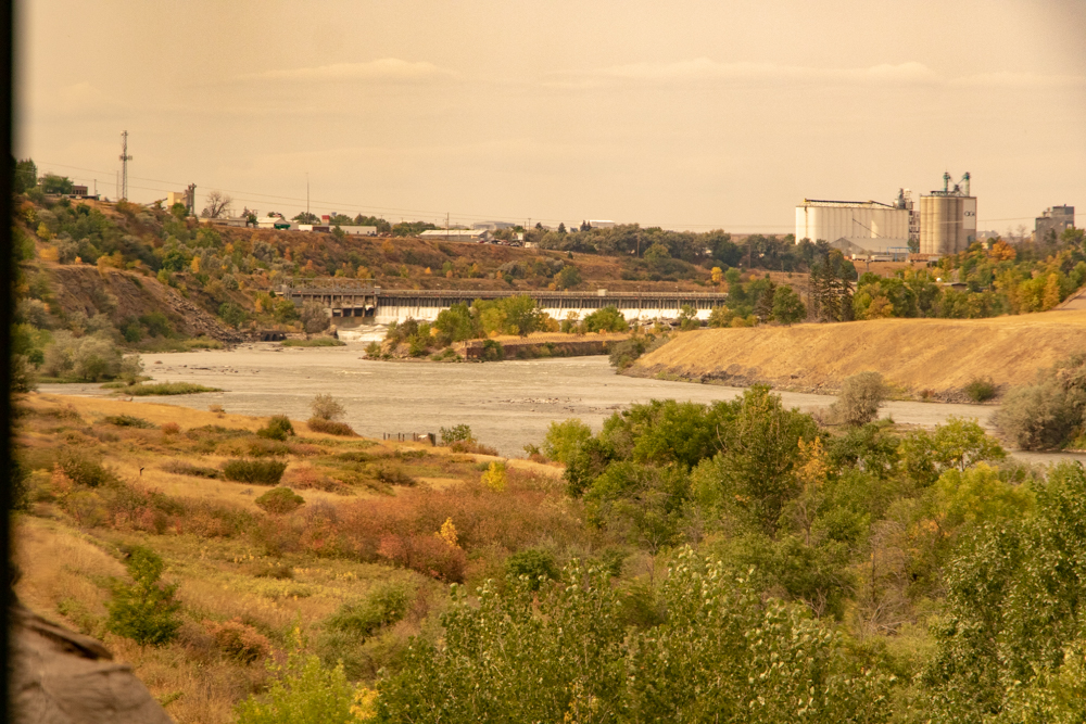
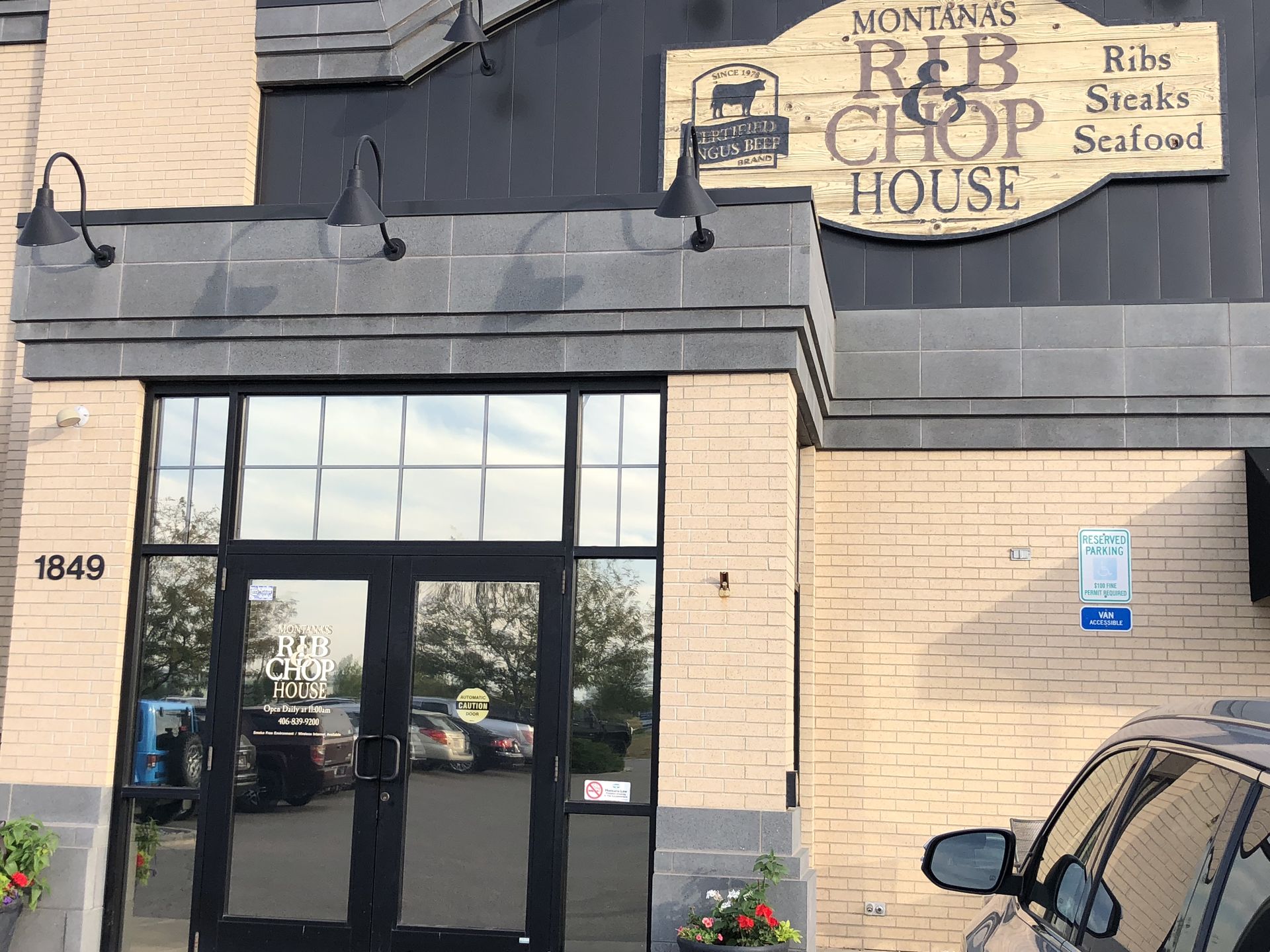
The downtown core and much of the rest of Billings is in the Yellowstone Valley which is a canyon carved out by the Yellowstone River. We checked in and went to dinner at Montana's Rib & Chop House. We dropped Gwen and Patsy off at the hotel and David and I filled car up with gas for the trip to North Dakota on Thursday.
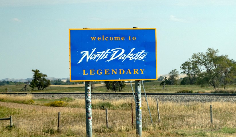
2018 West - Day 10 - Thu, 9.13.2018
Billings, MT to Roosevelt NP, Medora, ND
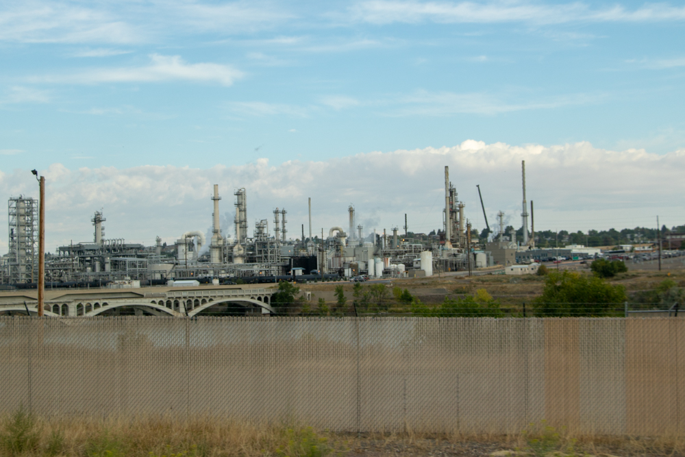
We left Billings at 7:30 am passing multiple large refineries, including Exxon-Mobil. It was 54 degrees, much warmer than East Glacier yesterday.
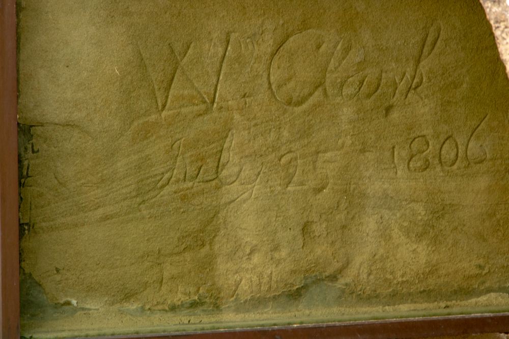
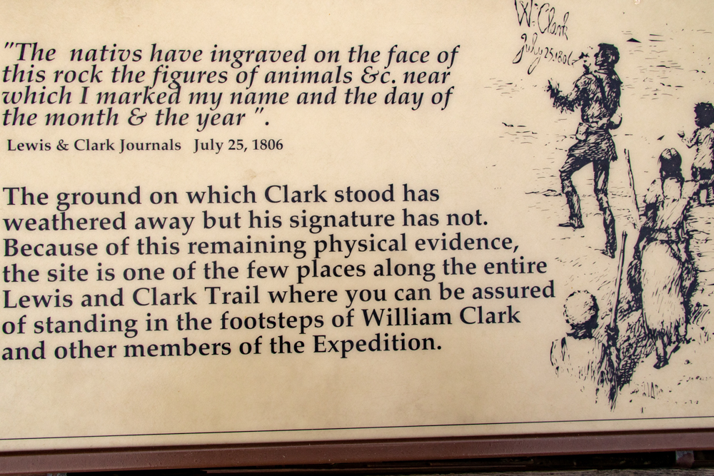
Our first stop was Pompey’s Pillar, a pillar of rock where William Clark camped for a few days. He and Meriweather Lewis split the party earlier, with Clark going more north and Lewis taking the same route they had used going west. During those days they rested the horses and built double canoes to go down the Yellowstone River. While there he named the pillar of rock Pompey after Sacajawea's child and carves his name and date on the side of the rock.
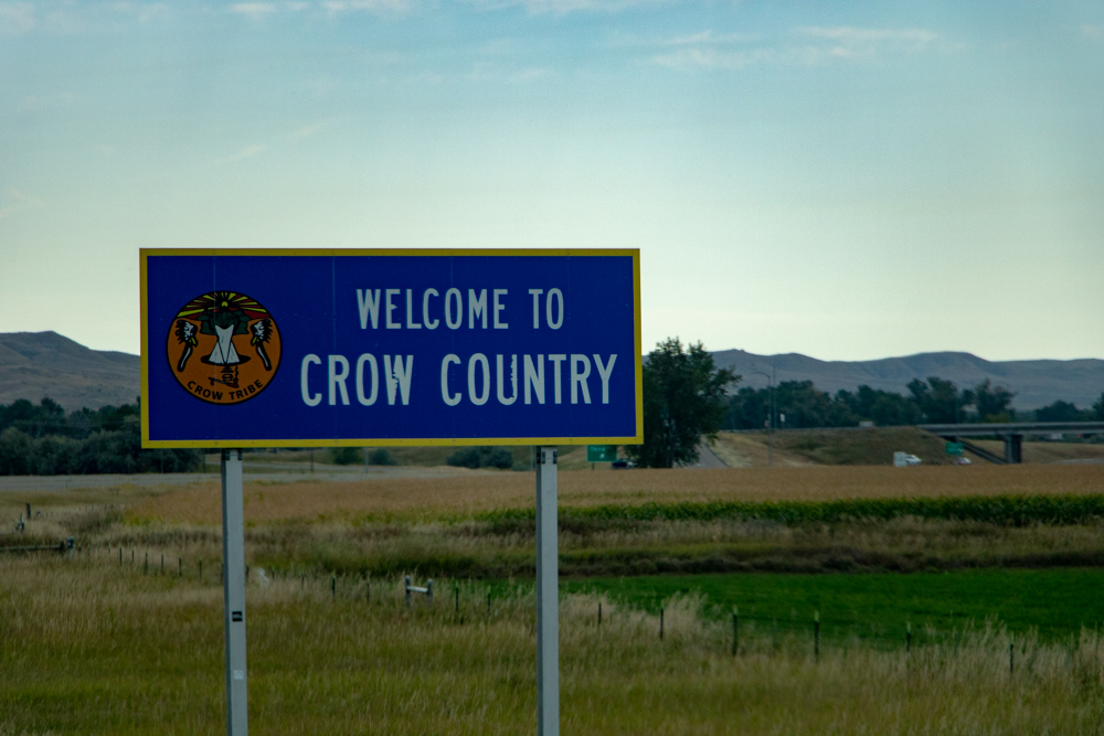
We left Pompey’s Pillar and had trouble figuring out how to get to Little Bighorn Battlefield. Waze, car GPS and Google had different routes to take. We tried Google but it led to a gravel road so we turned back and followed Waze west I-94 to east I-90. We crossed into Crow Indian Reservation for 10 miles to find the battlefield.
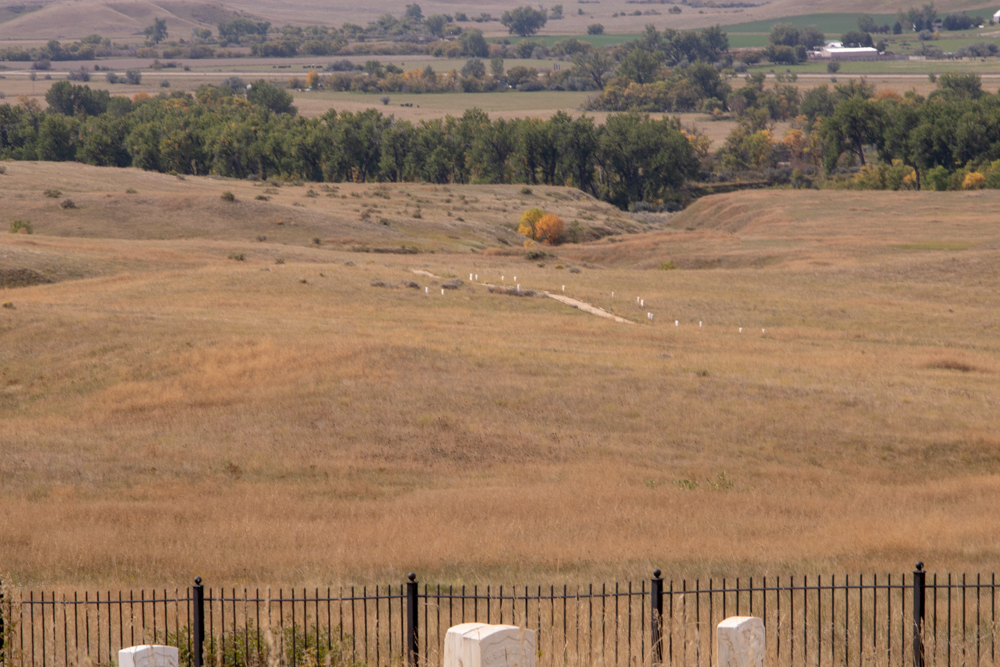
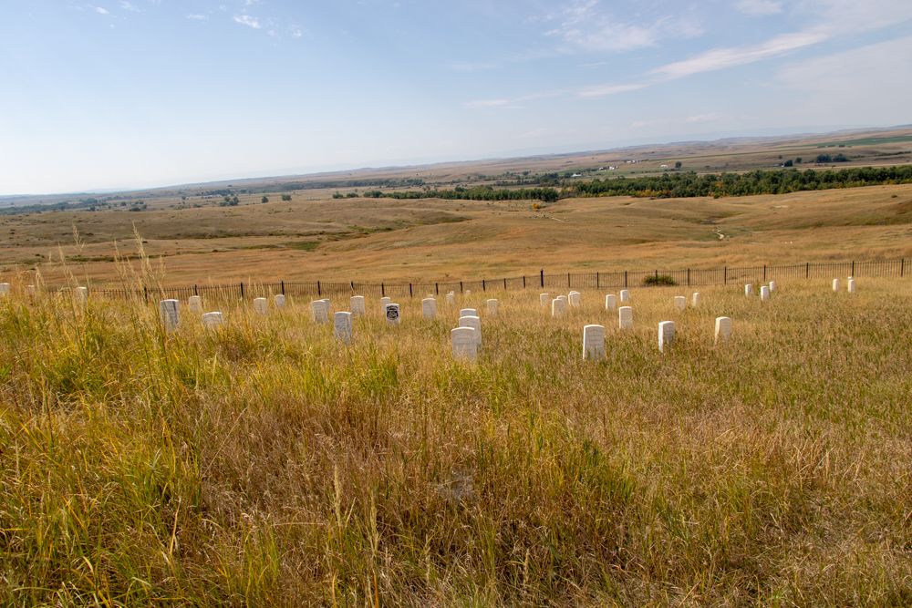
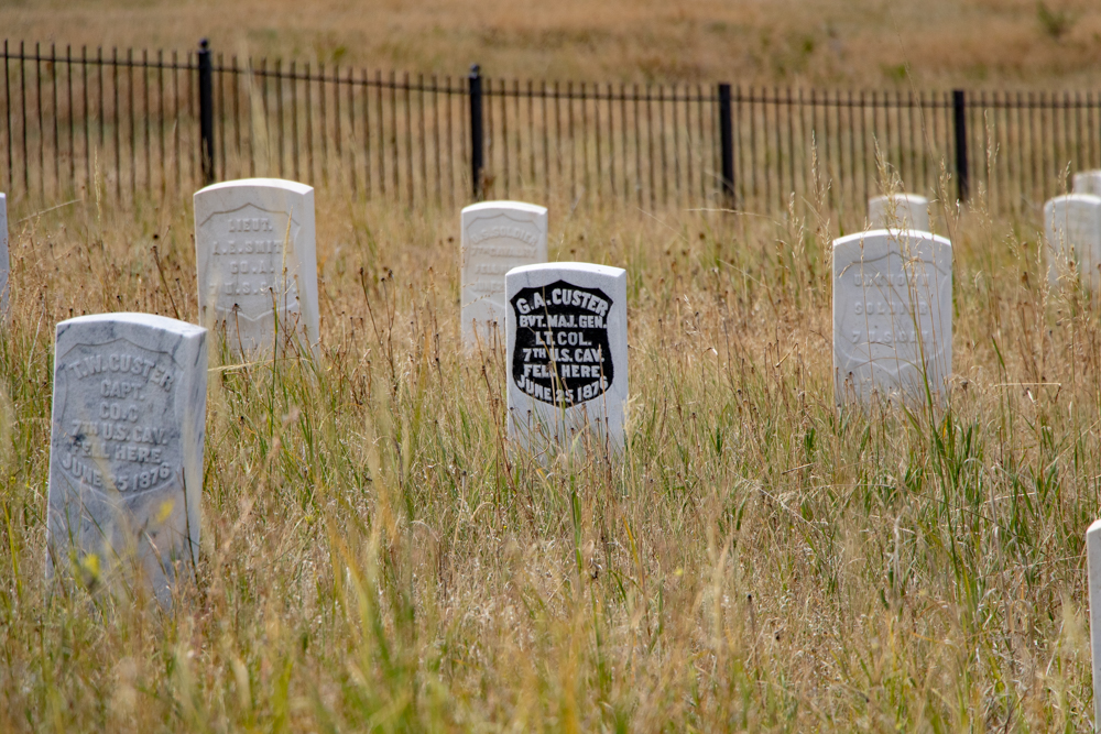
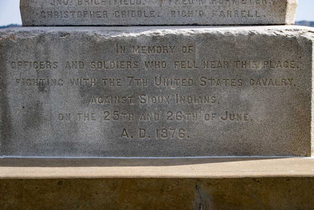
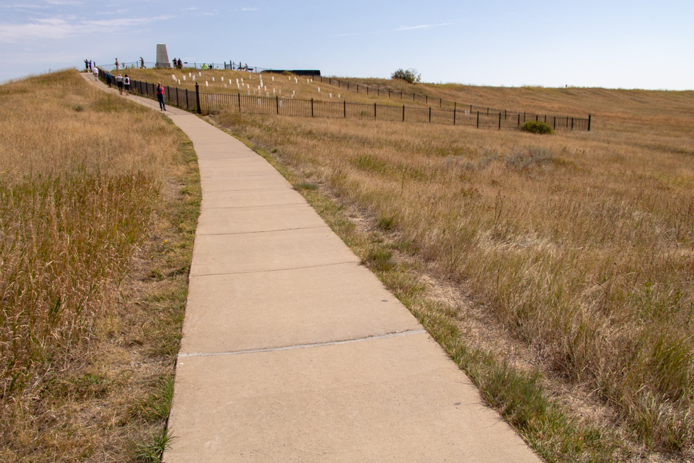
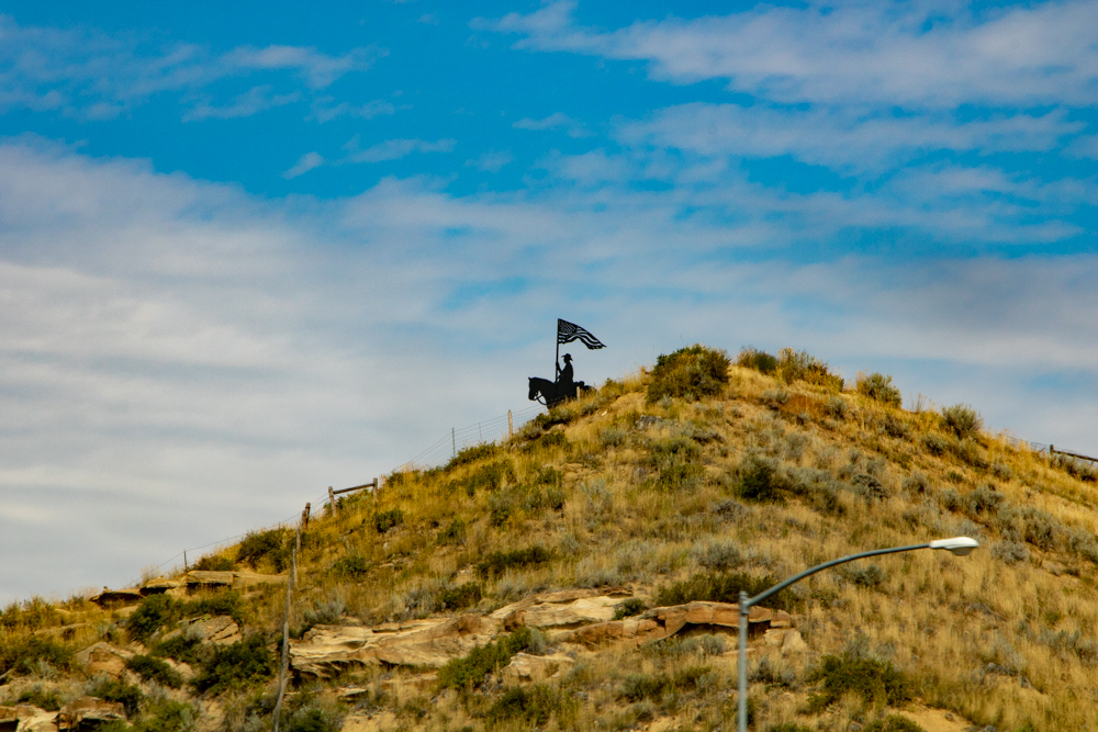
Little Bighorn is where Lt Col George A. Custer and 260 men were killed by several thousand Lakota and Cheyenne warriors. There are some individual graves on Last Stand Hill and a mass grave under a single monument with each person’s name listed.
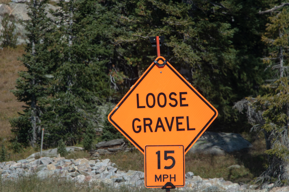
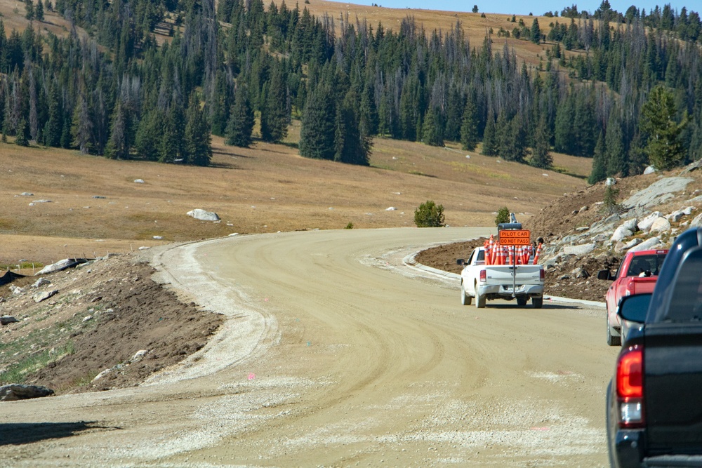
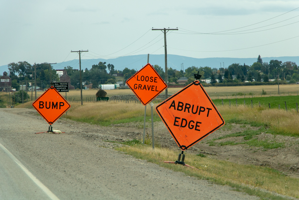
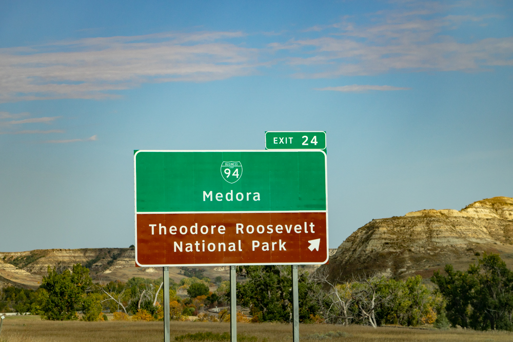
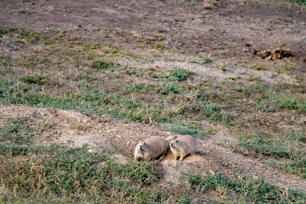
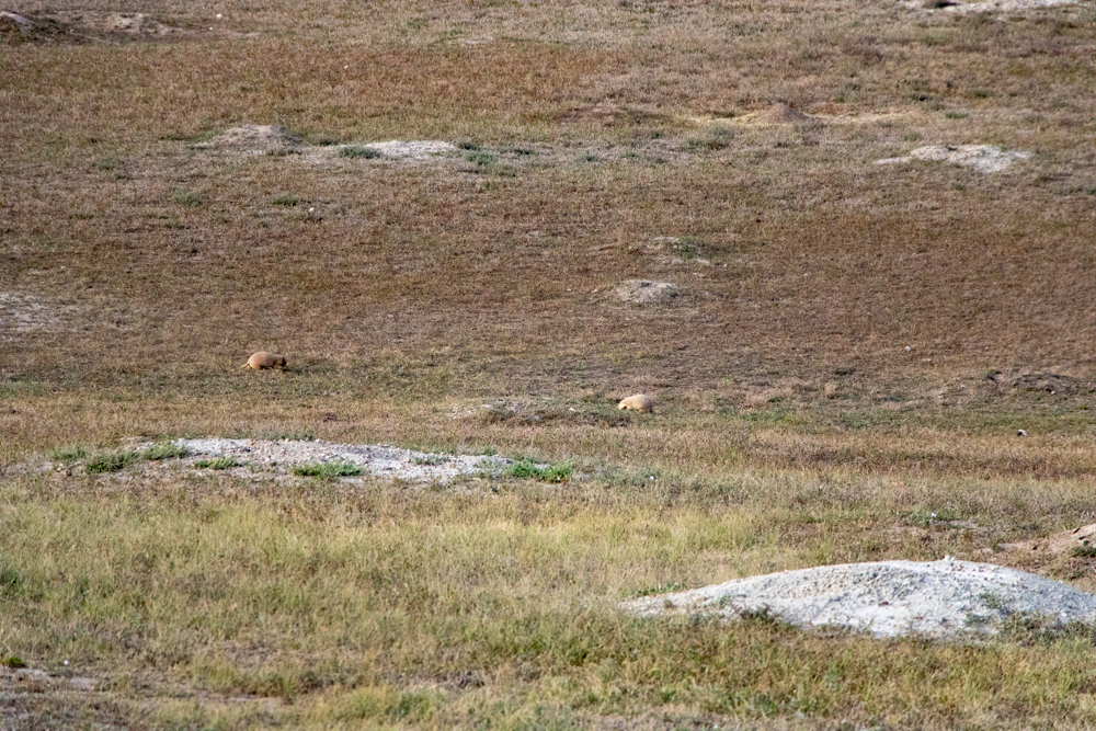
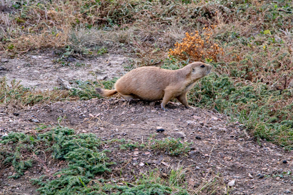
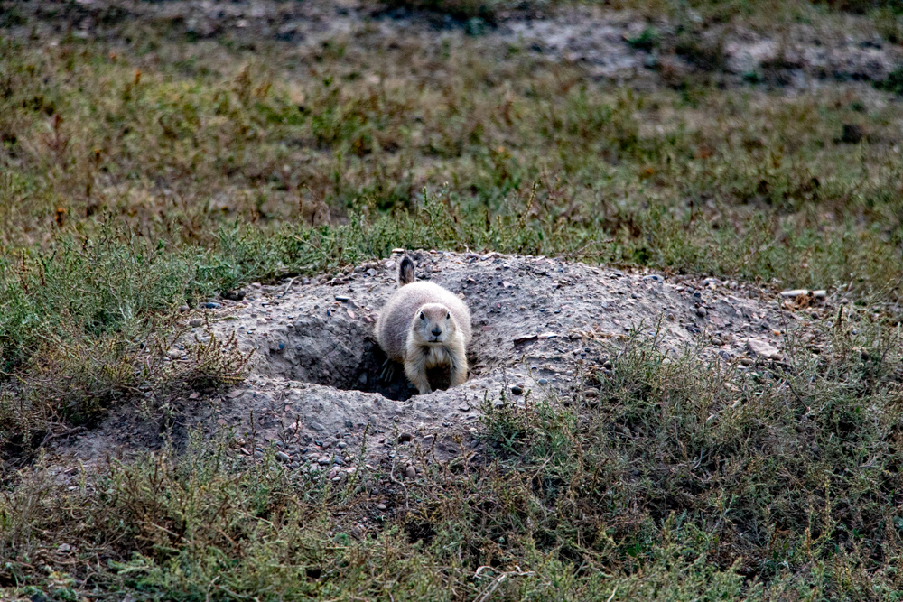
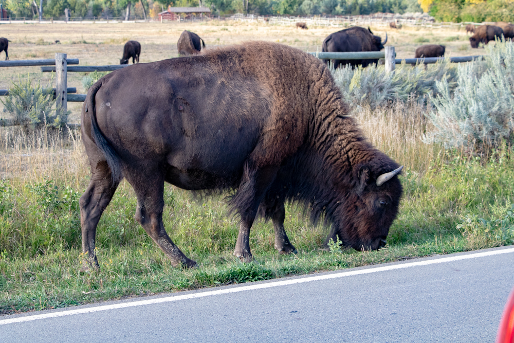
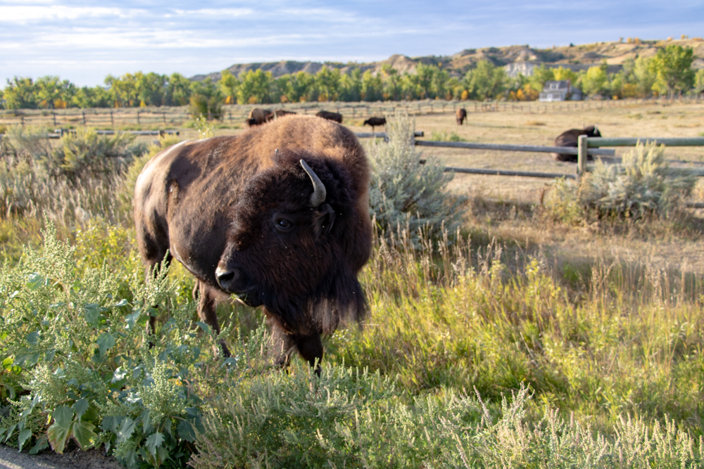
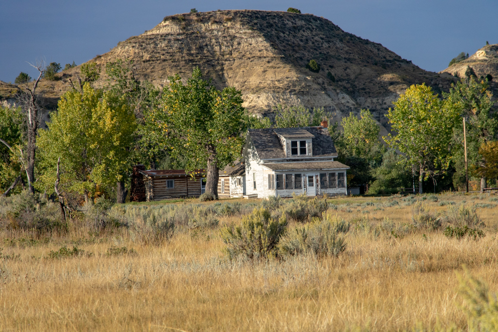
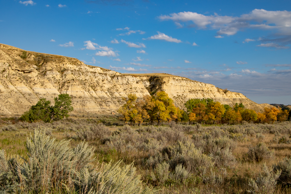
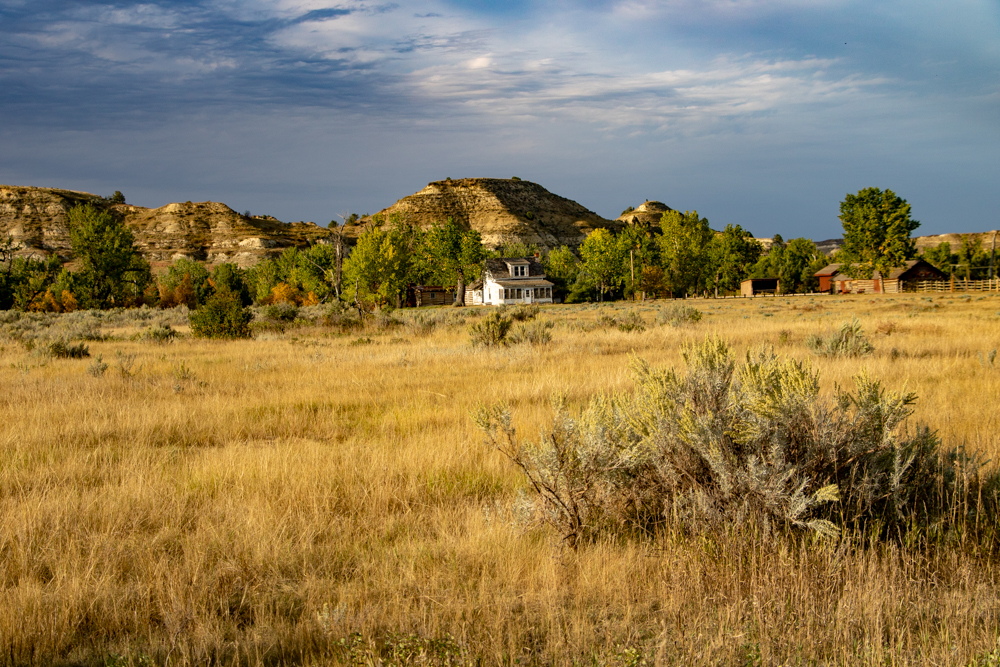
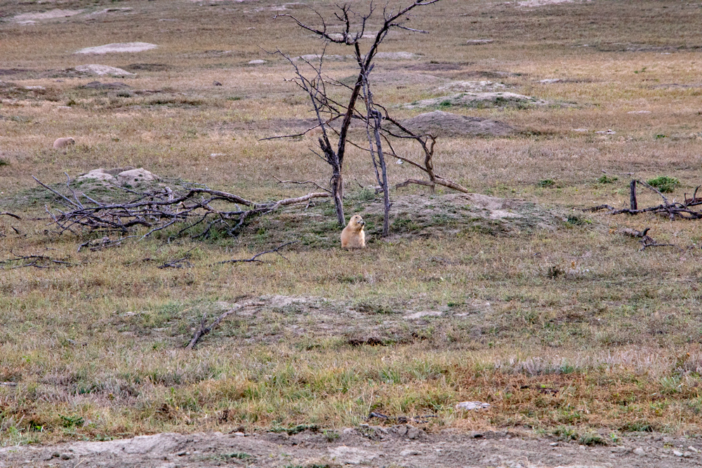
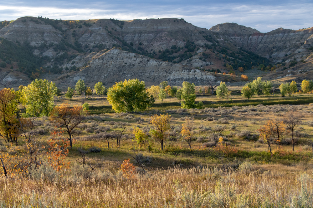
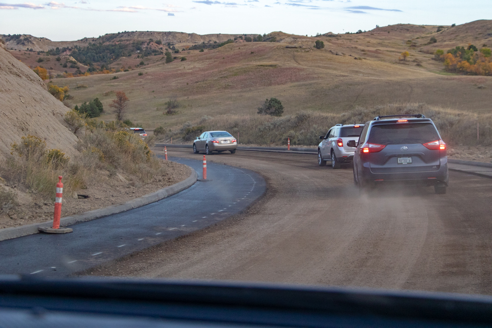
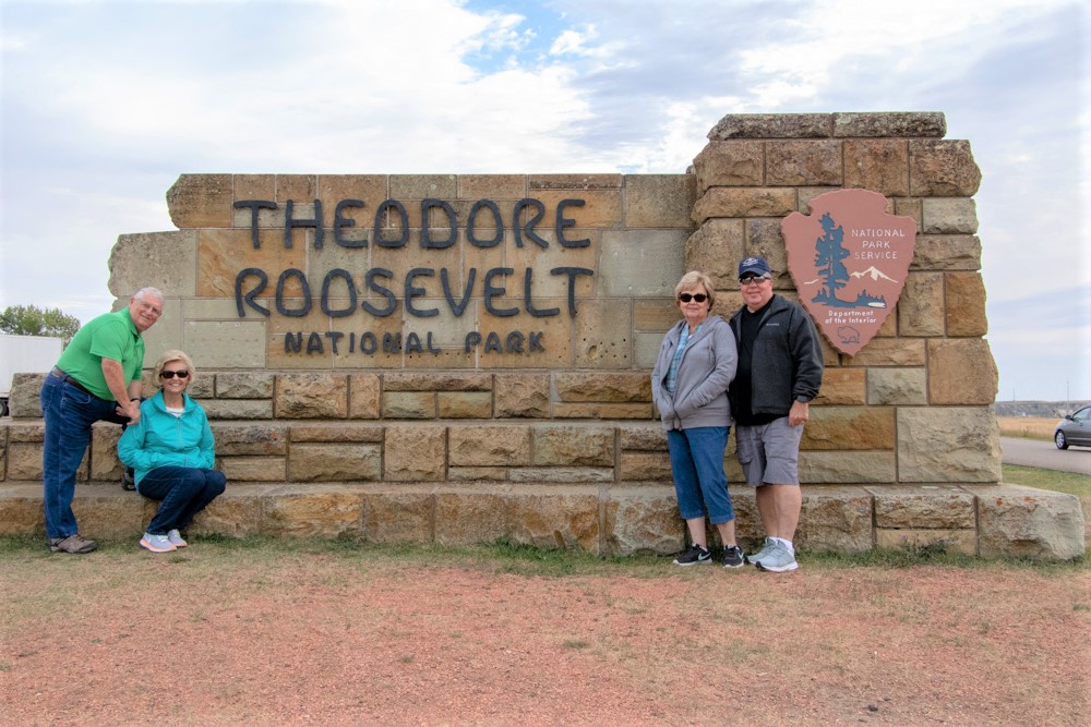
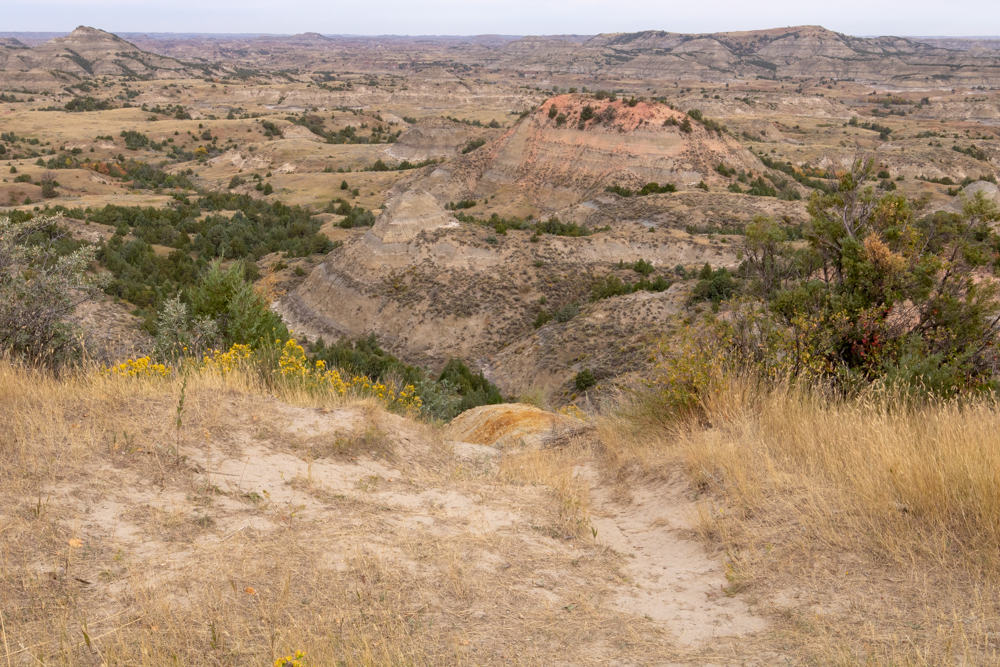
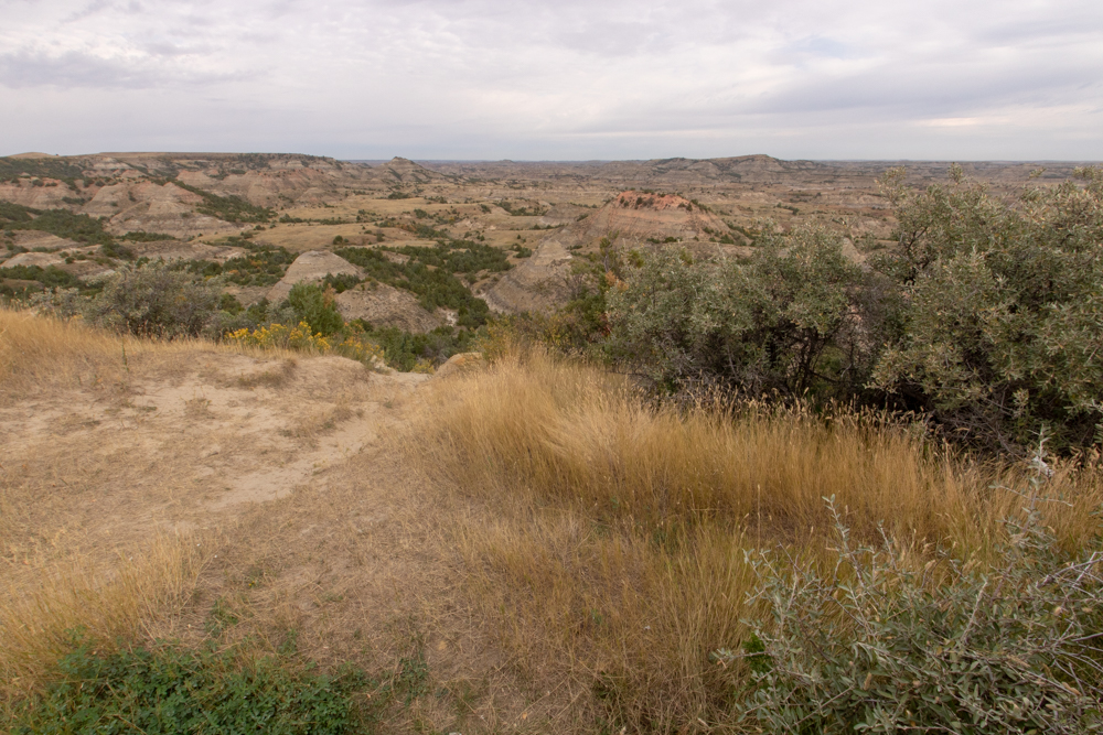
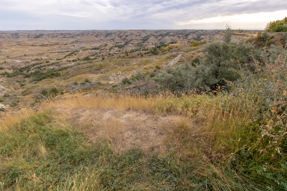
We got our National Park book stamped and headed north on MT-47 to pick up I-94 East to Theodore Roosevelt National Park. We arrived at TR National Park to find major road construction and very little parking at the Visitor’s Center. We parked in Medora and walked over to Visitor’s Center. We got our stamp and got in the car and waited in line for about 15 minutes for a pilot car to lead us 4 miles on a gravel road into the park. We saw buffalo and had a lot of fun at 2 prairie dog towns.
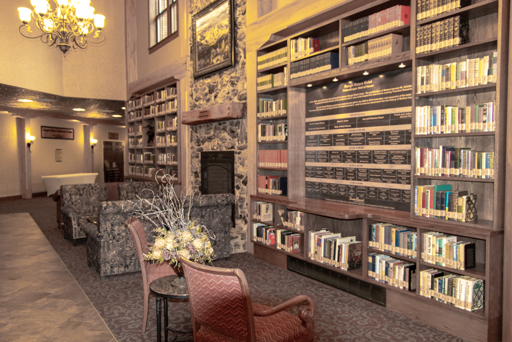
We saw some deer and headed back to check into the Rough Rider Hotel. The Rough Rider is a beautiful hotel and has been recently renovated with a library and fireplace in the lobby. We walked over to the Little Missouri Saloon for dinner. Food was excellent. I had a bison burger. We headed back to hotel about 8:00 pm, pretty tired from the long drive across Montana.
2018 West - Day 11 - Fri, 9.14.2018
Medora, ND to Spearfish, SD
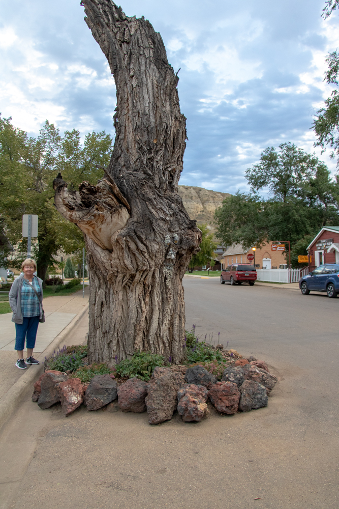
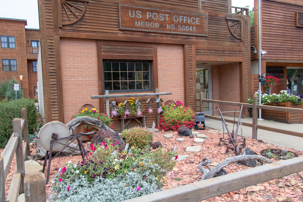
Patsy and I were up early so we took a walk around Medora. What a beautiful little town - you can walk the whole town in 10 minutes. We mailed the morning postcard to Austin and Dylan at the Medora Post Office and headed back to hotel.
We packed up and loaded the car around 7:30 am. After checking out of hotel we had a great breakfast at the local Cowboy Cafe (cash only). Most businesses in Medora have closed for the winter season.
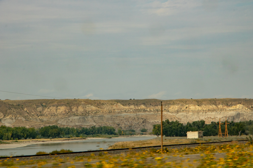
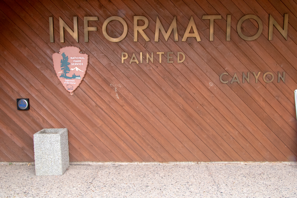
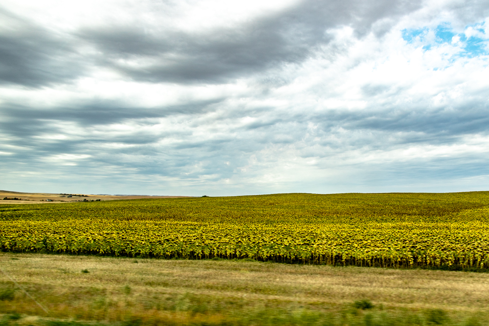
We jumped on I-94 for a few miles and stopped at the other TRNP Visitor’s Center that overlooked the Painted Canyon. Got another stamp and a few gifts and headed toward Spearfish, SD. It will be 160 miles of 2-lane road today set between grain, hay and huge sunflower fields.
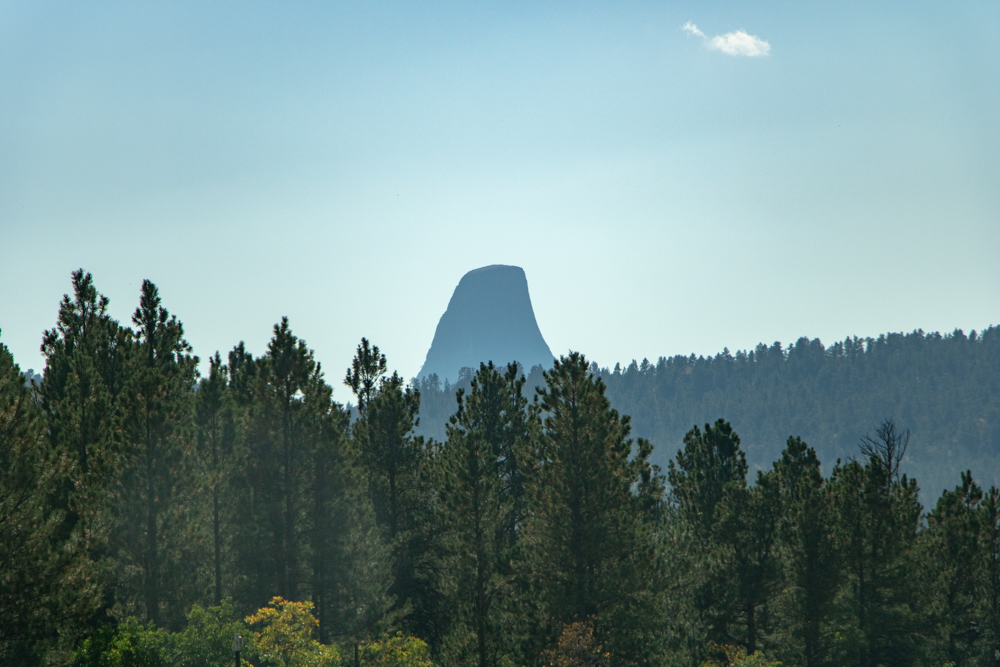
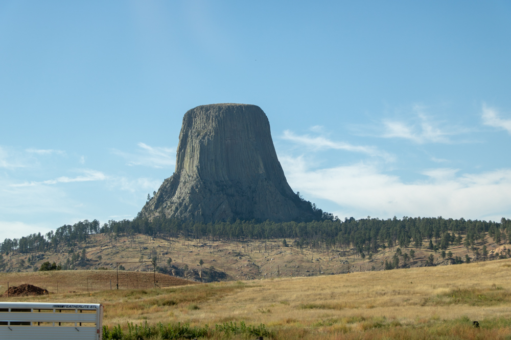
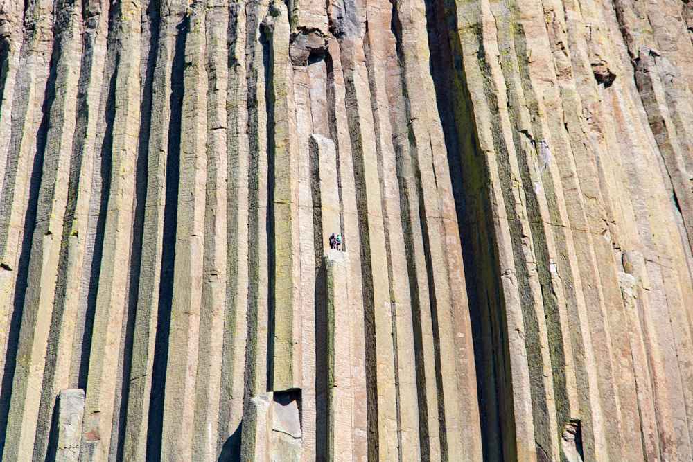
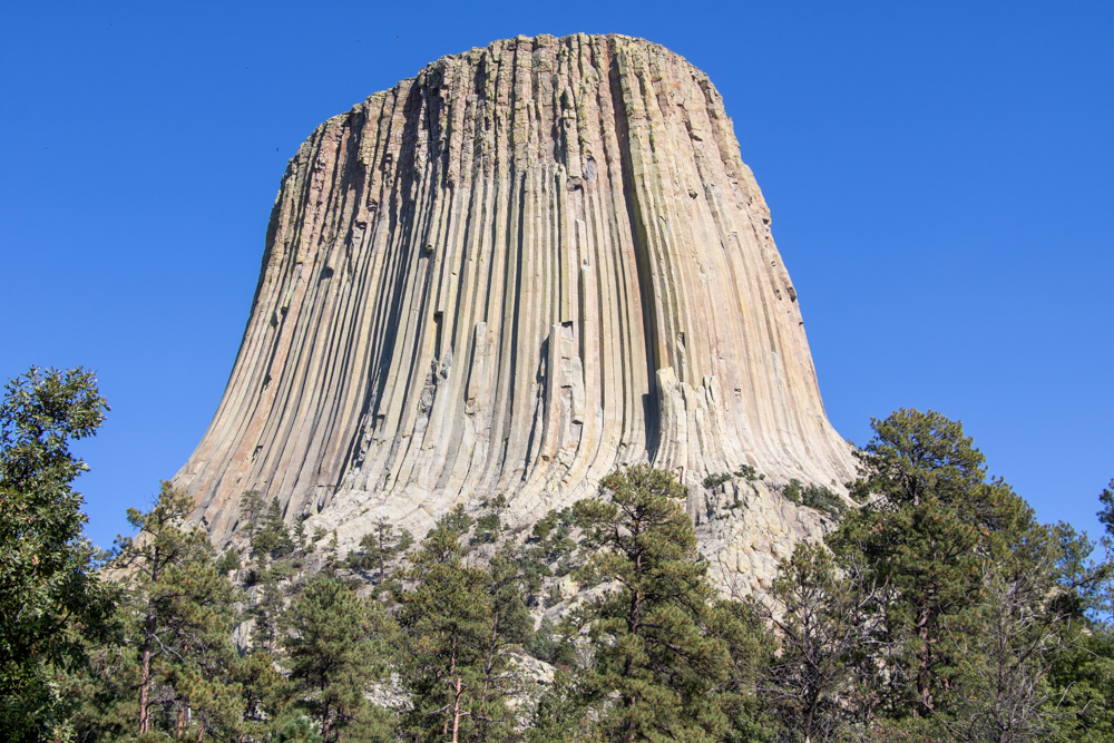
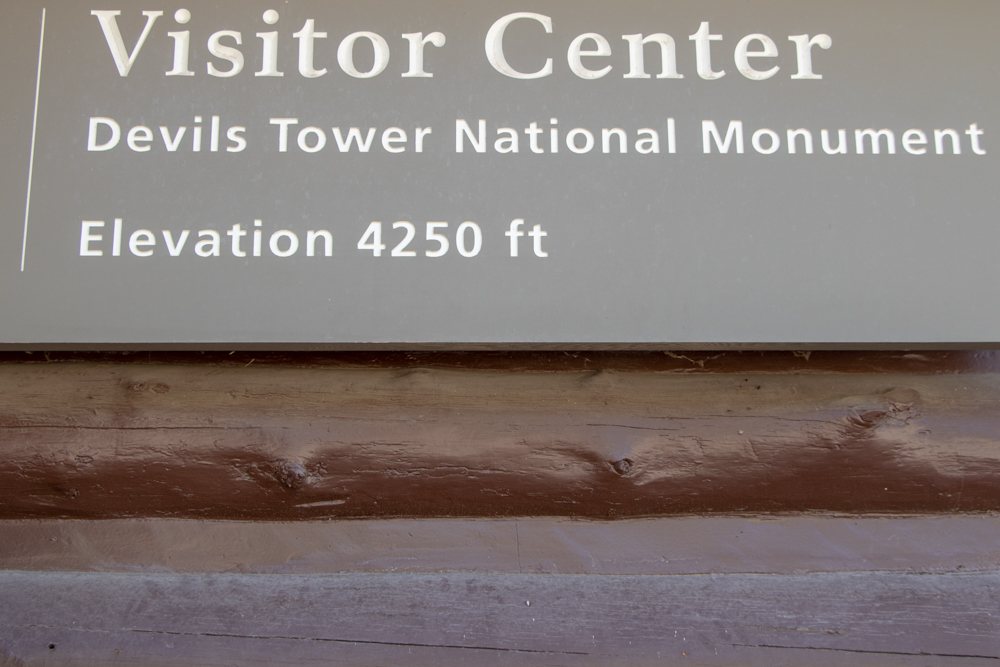
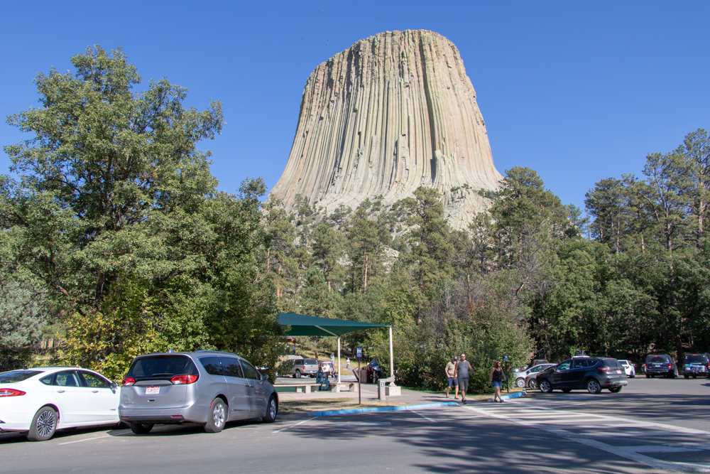
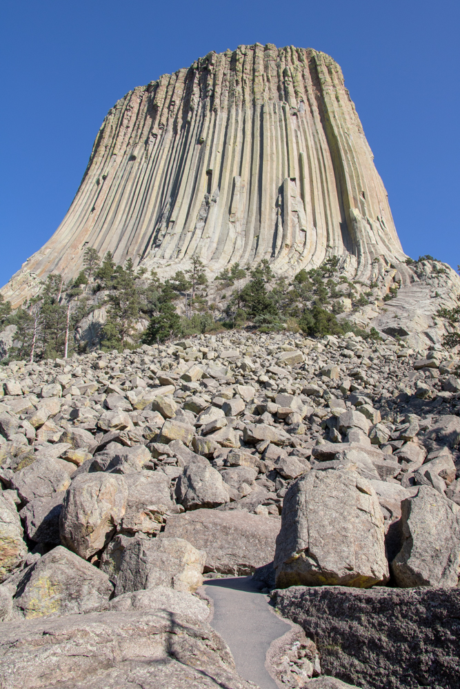
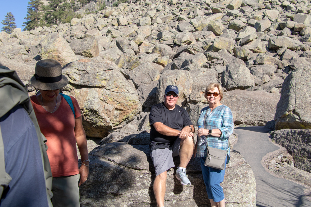
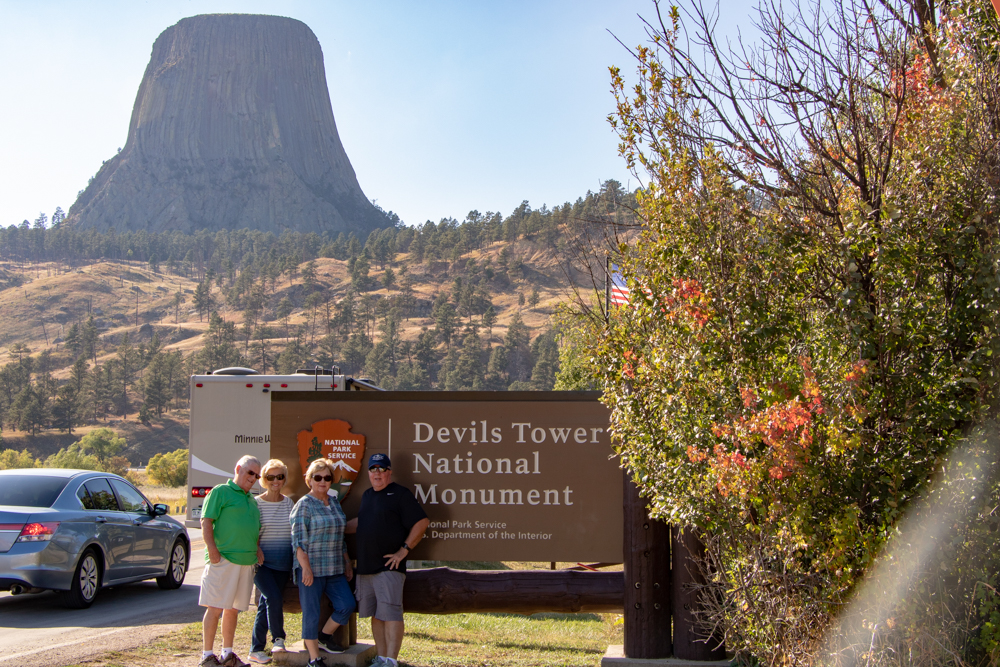
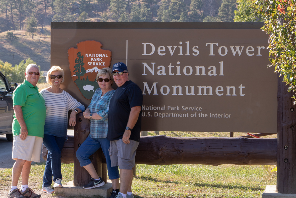
We got to Spearfish around noon and Marriott texted, said our rooms were ready so we checked into hotel, grabbed a subway and headed toward Wyoming to see Devils Tower National Monument. Like Glacier National Park one cannot capture the size of the tower with a 2D camera. I tried a lot of different angles but the results were the same. When we got there were 2 climbers about half way up - zoomed in best I could.
We left and drove back to South Dakota for dinner at Applebee's (across street from hotel) and a good night's rest.
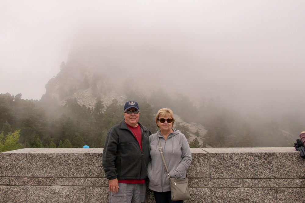
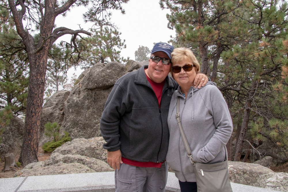
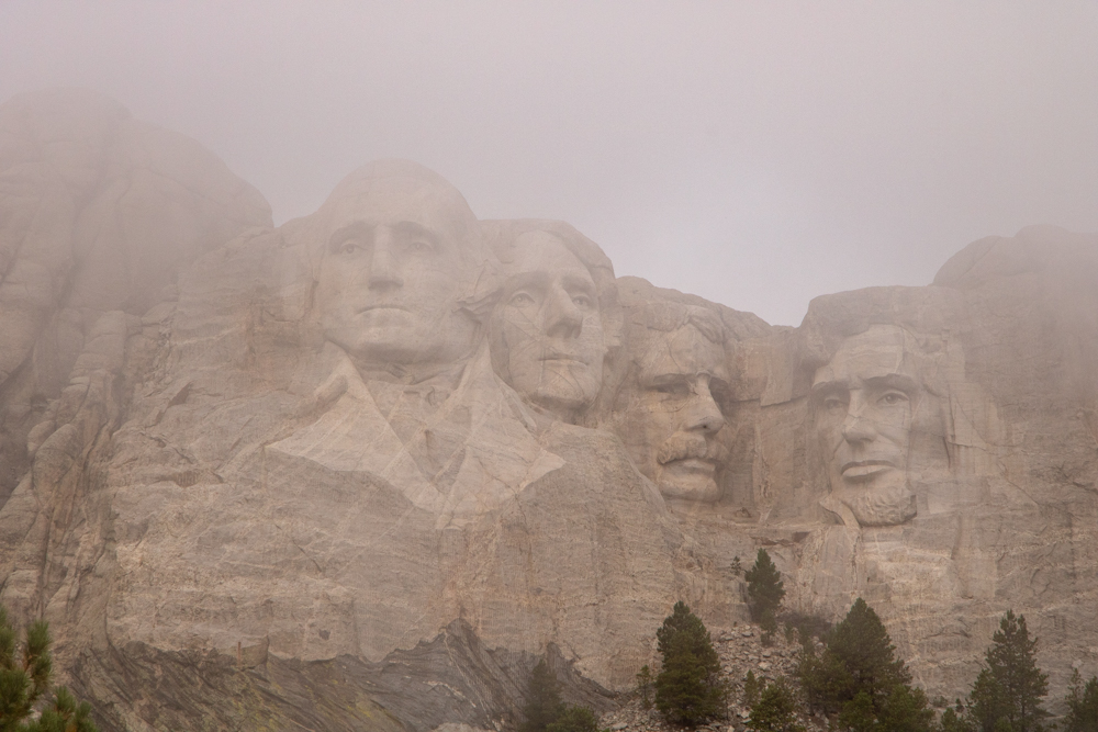
2018 West - Day 12 - Sat, 9.15.2018
Spearfish, Mt Rushmore, Crazy Horse, Deadwood
We woke up to a balmy 57 degrees in Spearfish this morning. Our plans include Mt Rushmore, Iron Mountain Road, Crazy Horse and Deadwood. We headed out 8:00 am but had to stop and let Gwen go back to the room to get her phone (OBTW she did this yesterday as well).
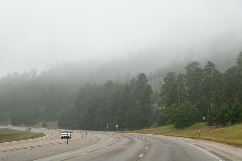
We stopped to get gas and clean all the bugs off windshield (there are a lot of bugs in the West). There are a lot of gas stations we see out here that are not at home (Cenex, Conoco, Sinclair/TownPump, Phillips 66). There is a little mist coming down today - the first we have seen on the trip. We did run the car through the car wash yesterday to clean the dust off from TRNP and a layer of the bugs off the front of the car (pretty yucky after 3,000 miles). It was misty this morning and foggy.
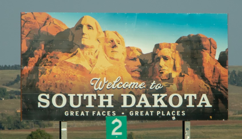
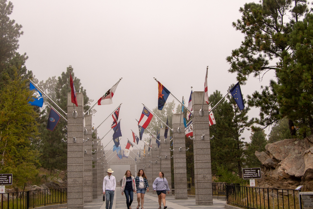
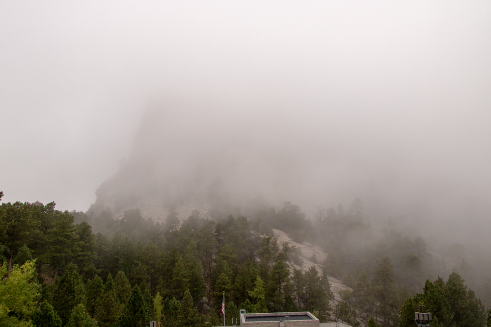
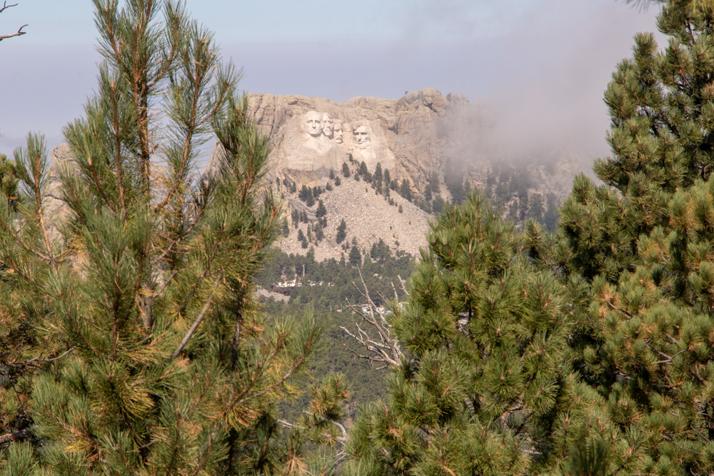
We got to Mount Rushmore and the fog was so thick we could not see the Presidents' faces. We hung around for a while and for a one brief minute we were able to their faces.
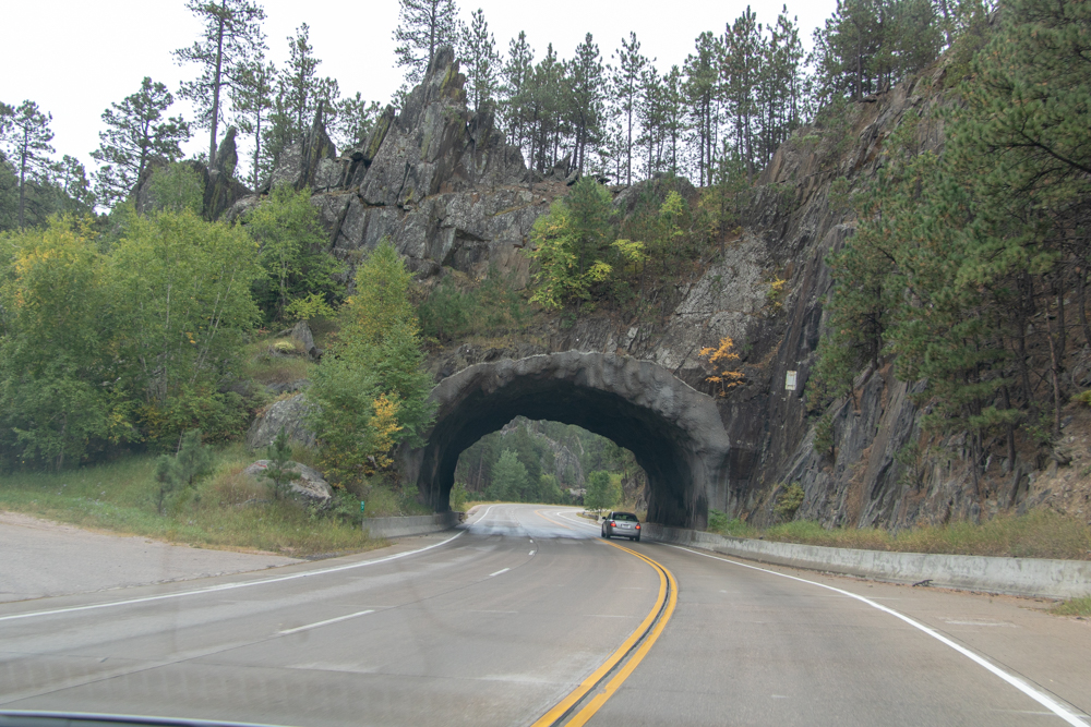
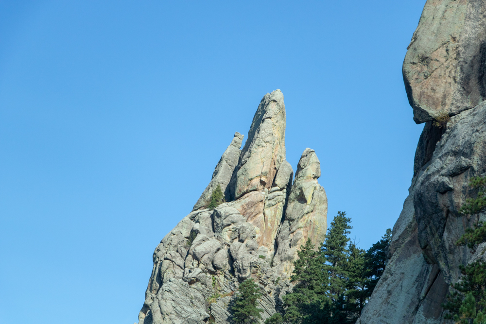
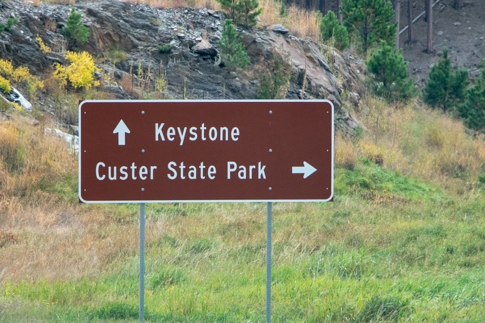
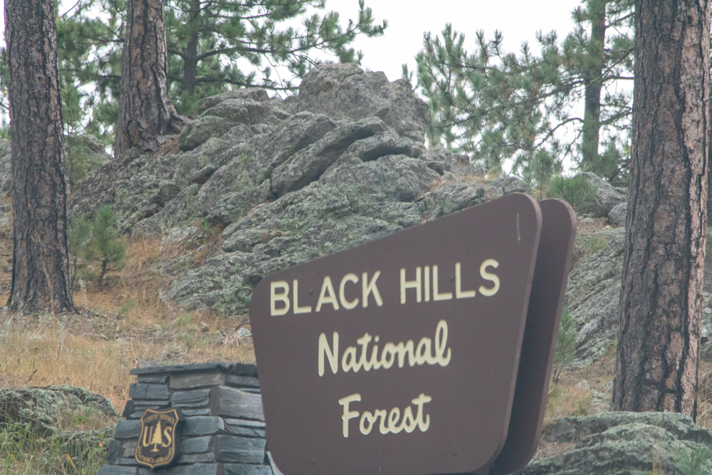
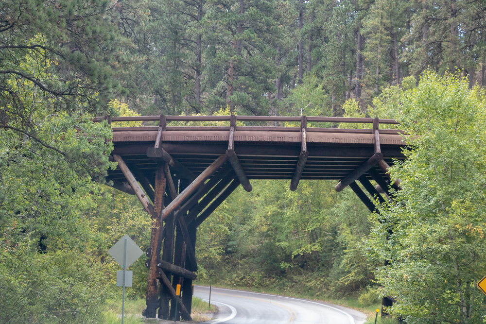
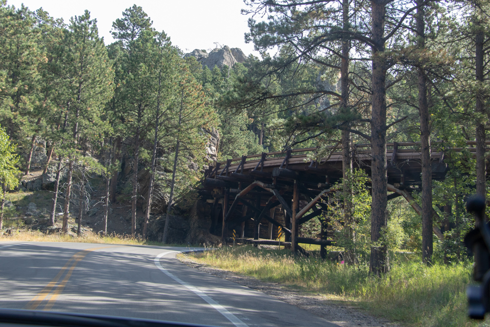
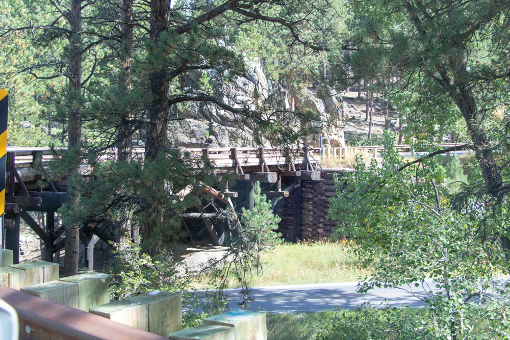
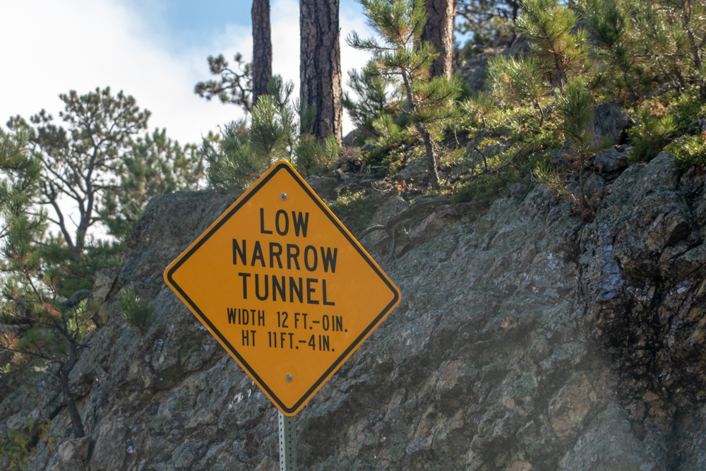
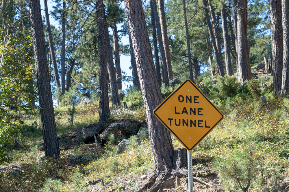
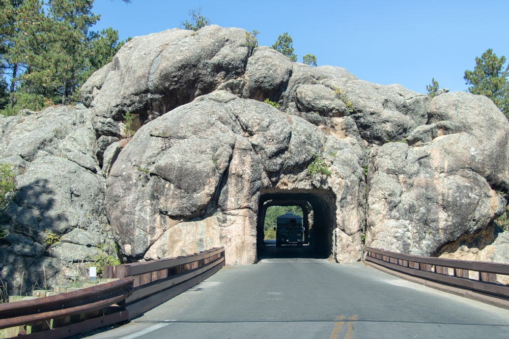
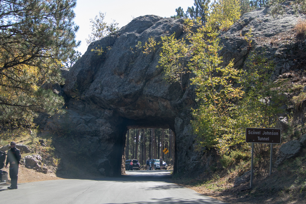
We left and headed down 16A, Iron Mountain Road (after first going east instead of west). Iron Mountain Road road was specifically designed with a tremendous amount of curves, including what we refer to as switchbacks, in order to limit the speed of travelers to 35 miles per hour so that they could enjoy the beauty of the Black Hills. What makes this road so unique and memorable is not just the amount of curves and the surrounding beauty, but also the architectural features found along this road. These features include wooden structures, called pigtail bridges, and one lane tunnels that were built to showcase the American patriotic symbol, Mount Rushmore.
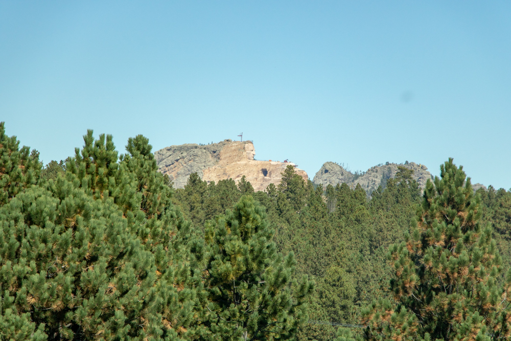
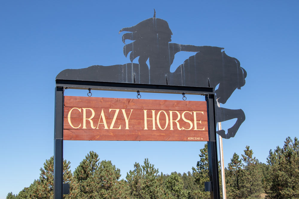
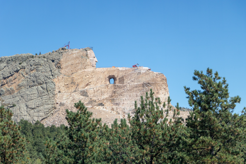
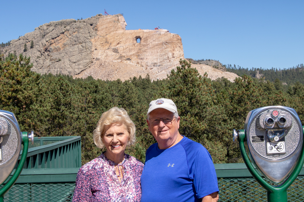
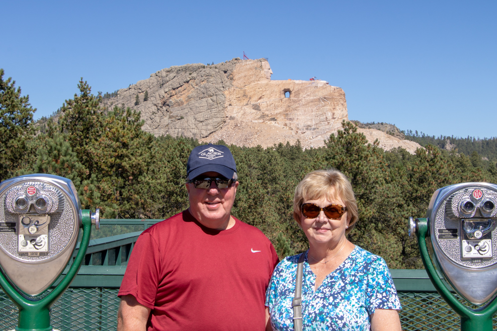
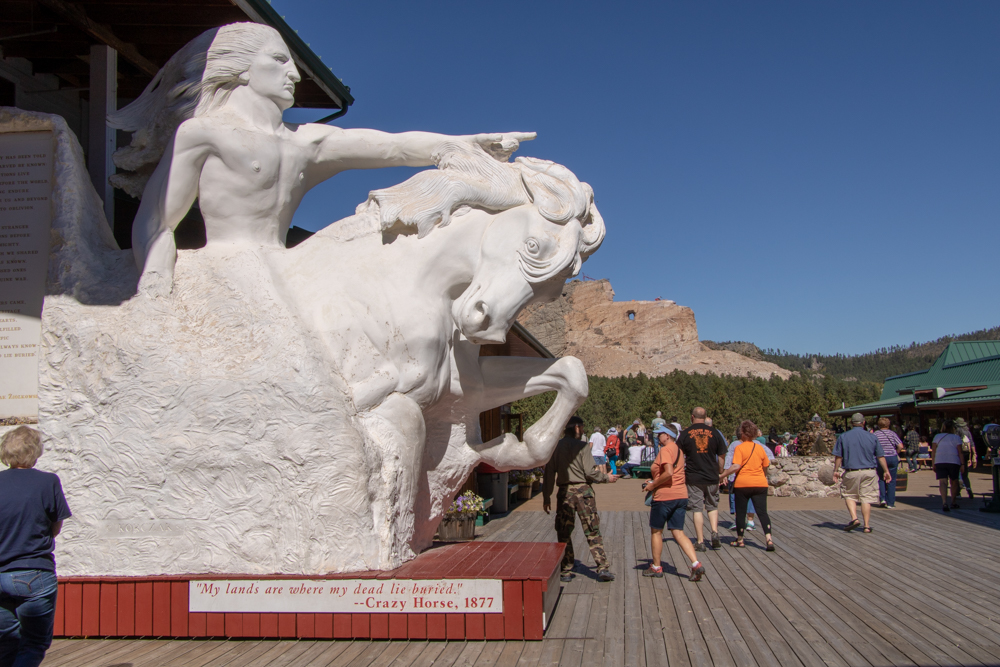
We were able to see a glimpse of Mount Rushmore while at one of the overlooks on Iron Mountain. The park goes through Custer State Park and we had to buy a $20 South Dakota State Park pass to get through. We exited the road and headed toward Crazy Horse Memorial. They have built a beautiful museum and shops. The first blast that started the monument occurred in 1948. Just the head of Crazy Horse will be 87 feet high; by comparison, the heads of the four U.S. Presidents at Mount Rushmore are each 60 feet high.
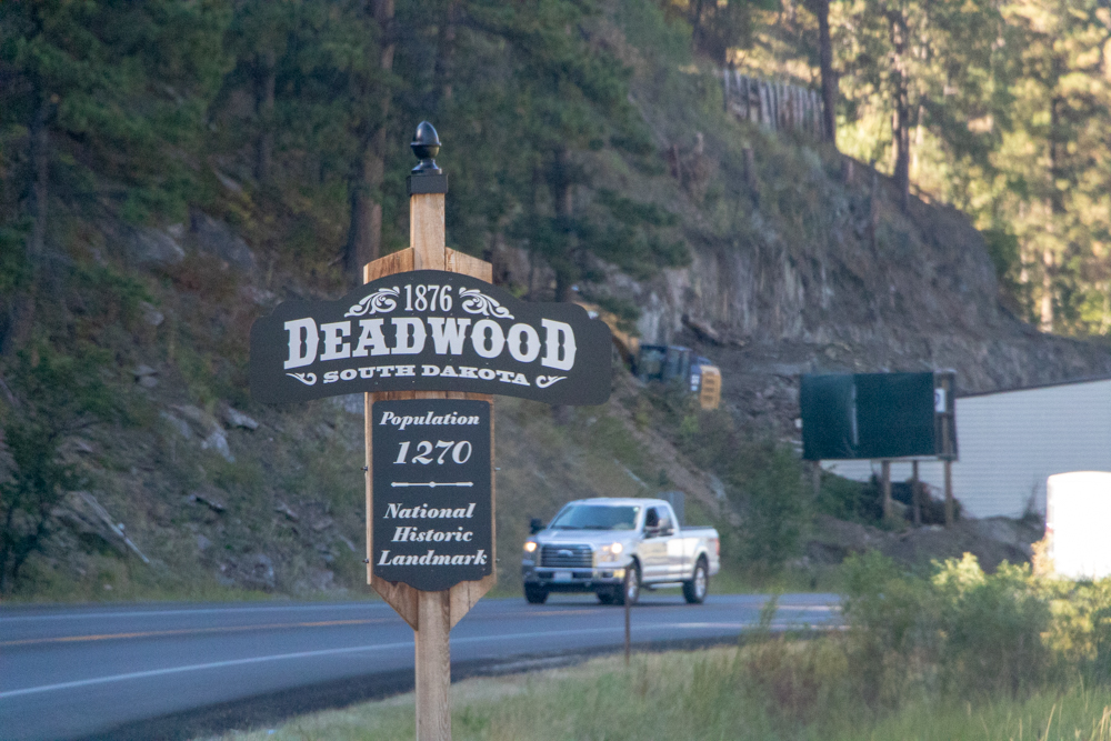
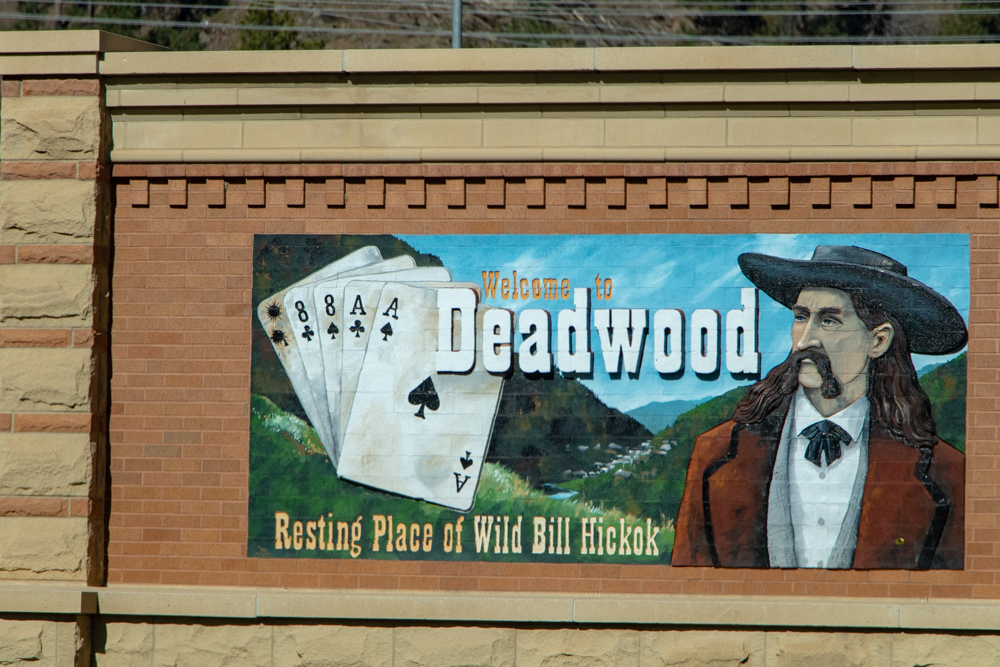
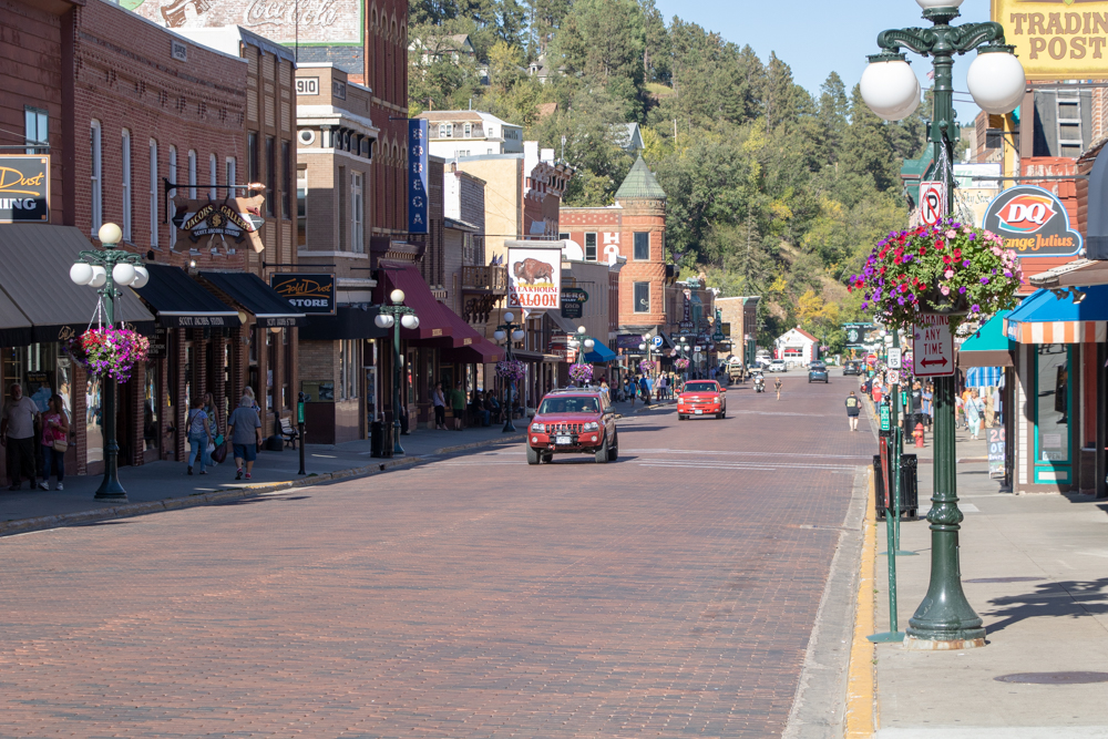
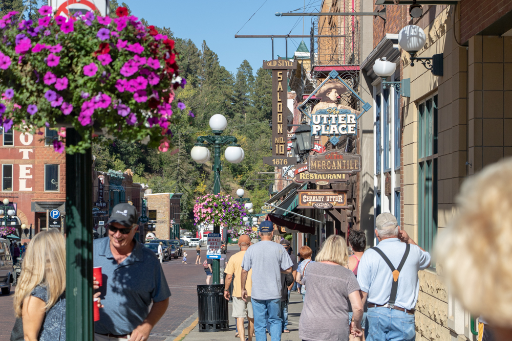
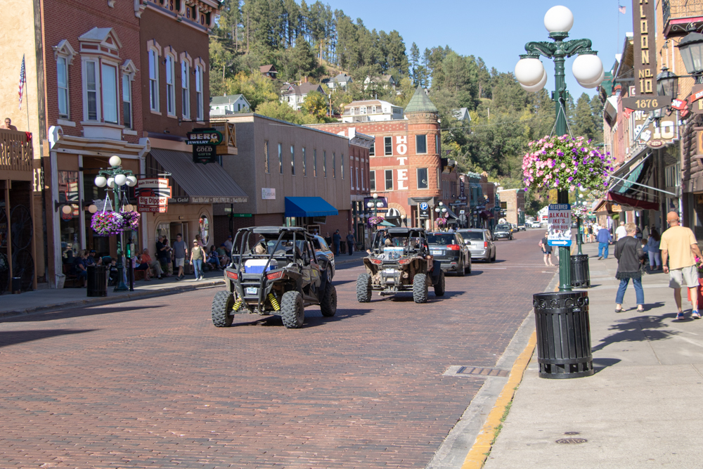
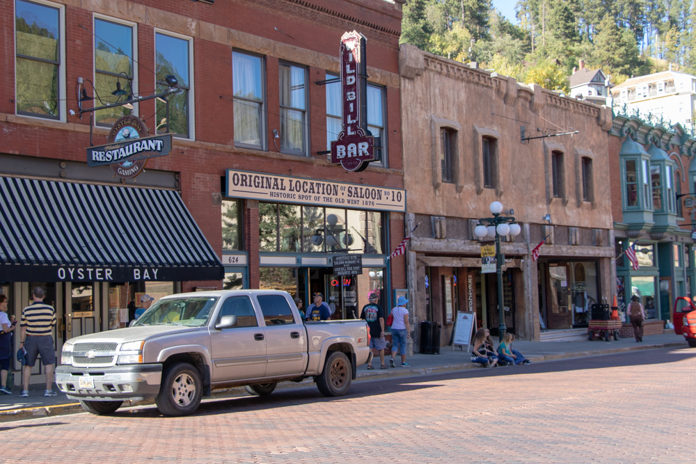
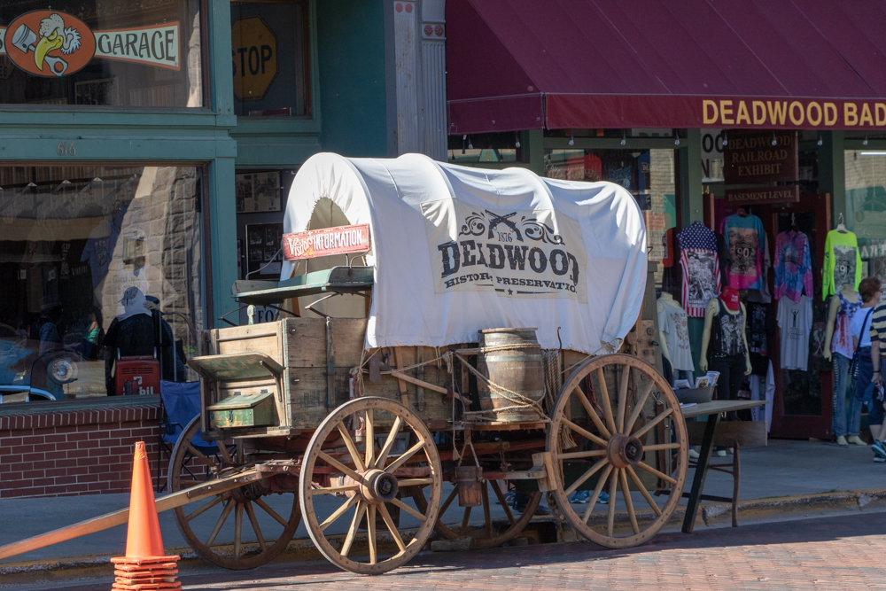
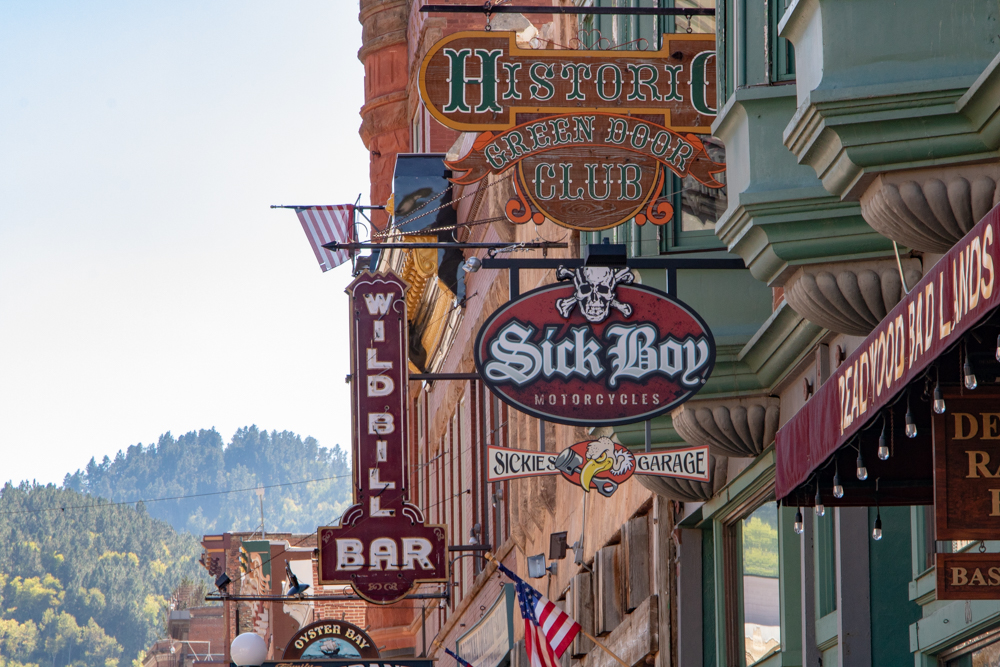
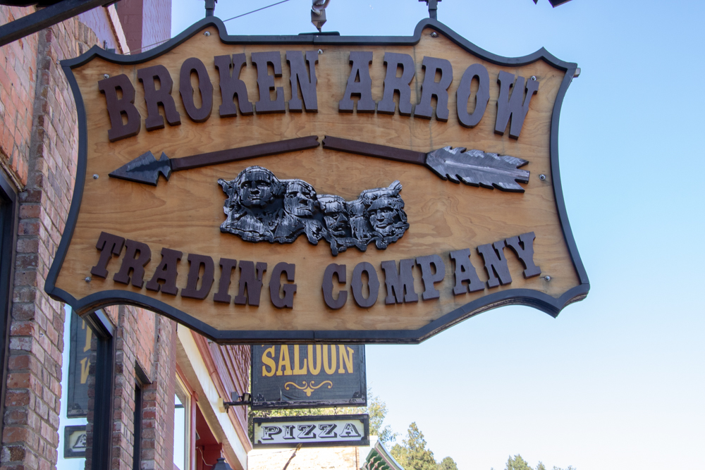
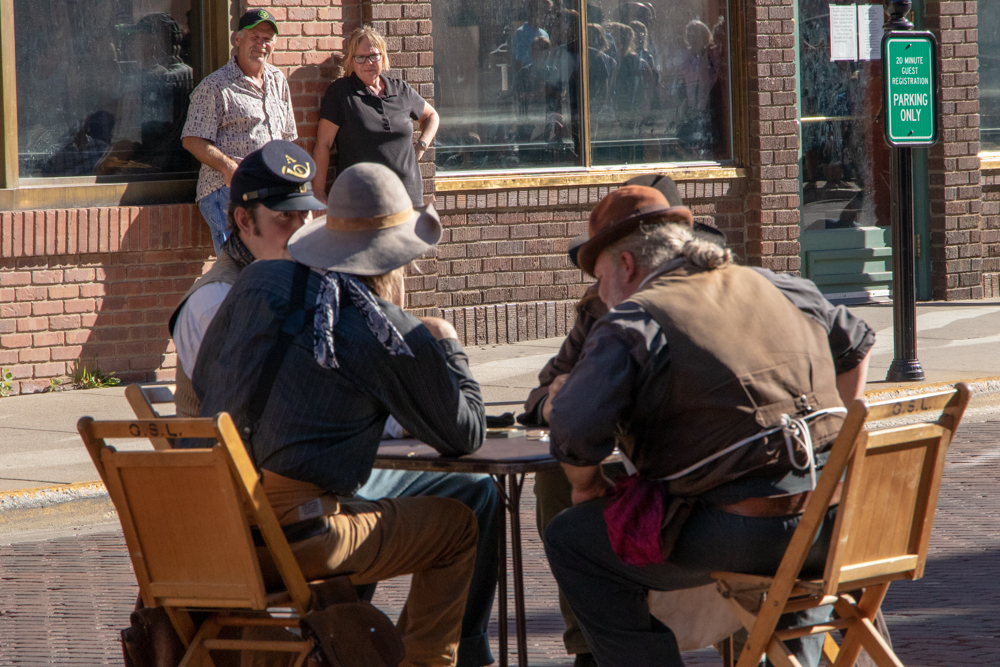
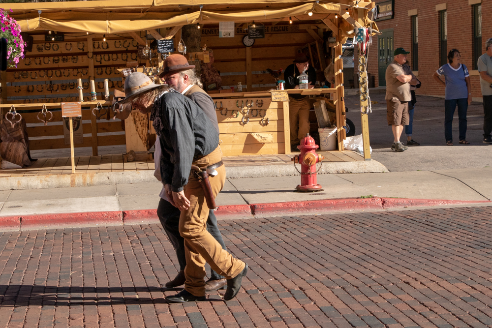
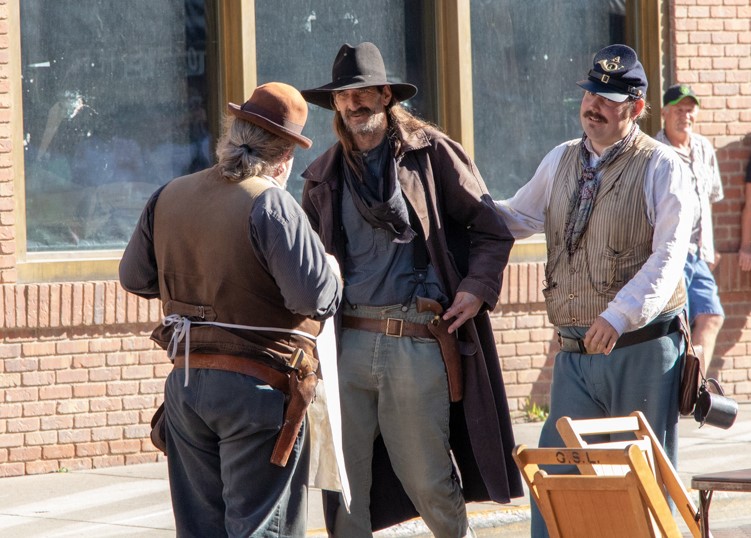
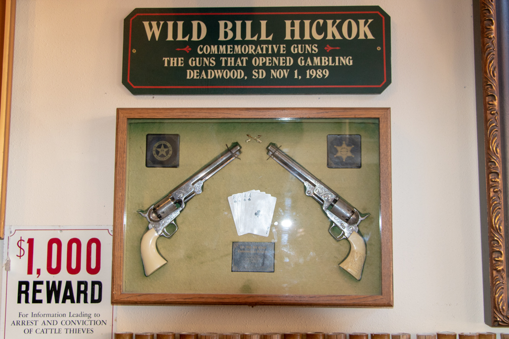
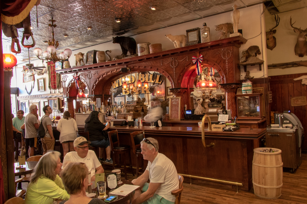
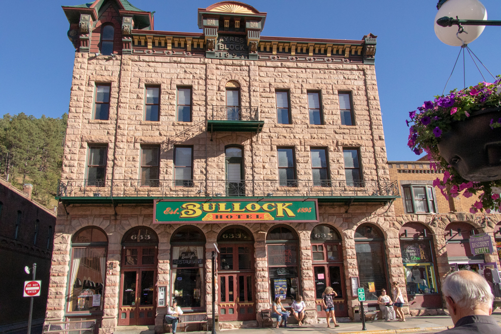
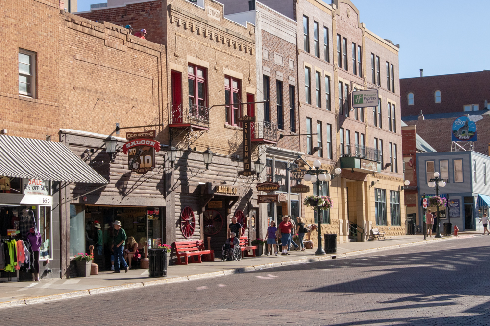
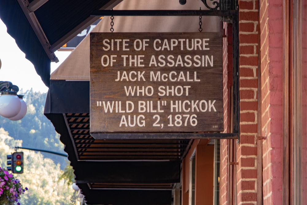
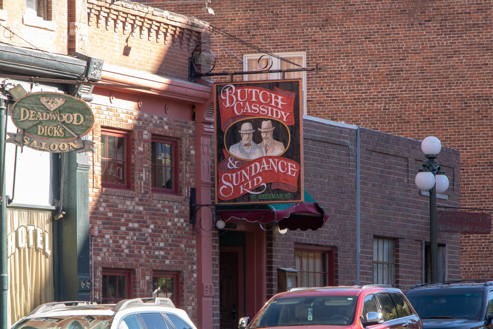
We left Crazy and made our 50 miles north to Deadwood. We first came to Deadwood in 2003 and it appears to have changed from what we remember - more commercialized with saloons, bars and casinos taking over. The historic part is somewhat the same and we watched a short shootout in the middle of the street.
We left Deadwood and headed back to Spearfish, had a quick dinner and tried to clean out the car we've been living in for the past couple of weeks. We made a quick stop at Walmart to buy a luggage scale (we're afraid we may bust the 50 lb. at the airport). We head to Denver on Sunday.
2018 West - Day 13 - Sun, 9.16.2018
Spearfish, SD to Denver, CO
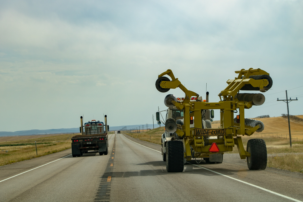
It was 61 degrees and clear this morning (not misty/foggy like yesterday when we went to Mount Rushmore). We had breakfast, loaded the car and headed towards Denver. Today is just a driving day - 411 miles - mostly on US-85, a 2 lane road. The good thing about 2 lane roads in Wyoming is there is no traffic and speed limit is 70 mph. The bad things is there are no towns, no food and no bathrooms ;-).
We pretty stayed just west of Nebraska border heading south. We spotted several elk and a few deer. We found food in Torrington and swapped drivers. Since we have been off the grid more than on the grid we have learned to spot cell towers from way off (we call them juice towers).
Around 12:30 we need to check in for our Southwest flight so we started looking for juice towers and found one but the best we could get was 3G but it worked. We got to Denver around 3:00 pm and checked into our hotel. We decided to go ahead and turn the rental car in to get that out of the way. David and drove to Hertz, turned in the car, rode the Hertz shuttle to the airport and picked up the hotel shuttle.
Now we only have to load/unload all that luggage one time tomorrow. We had dinner at Outback and celebrated David's birthday with a Thunder from down Under.
2018 West - Day 14 - Mon, 9.17.2018
Denver, CO to Smyrna, TN
No blog. Just flight home.