Across USA 2011
18 days, 15 hotels, 4000 miles
18 National Parks/Monuments
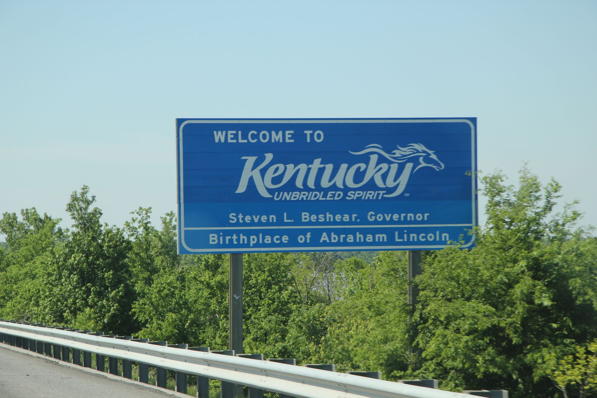
Smyrna to Little Rock, AR
- Day 1, Mon, Apr 18, 2011
- Google Map - 381 miles
- Links
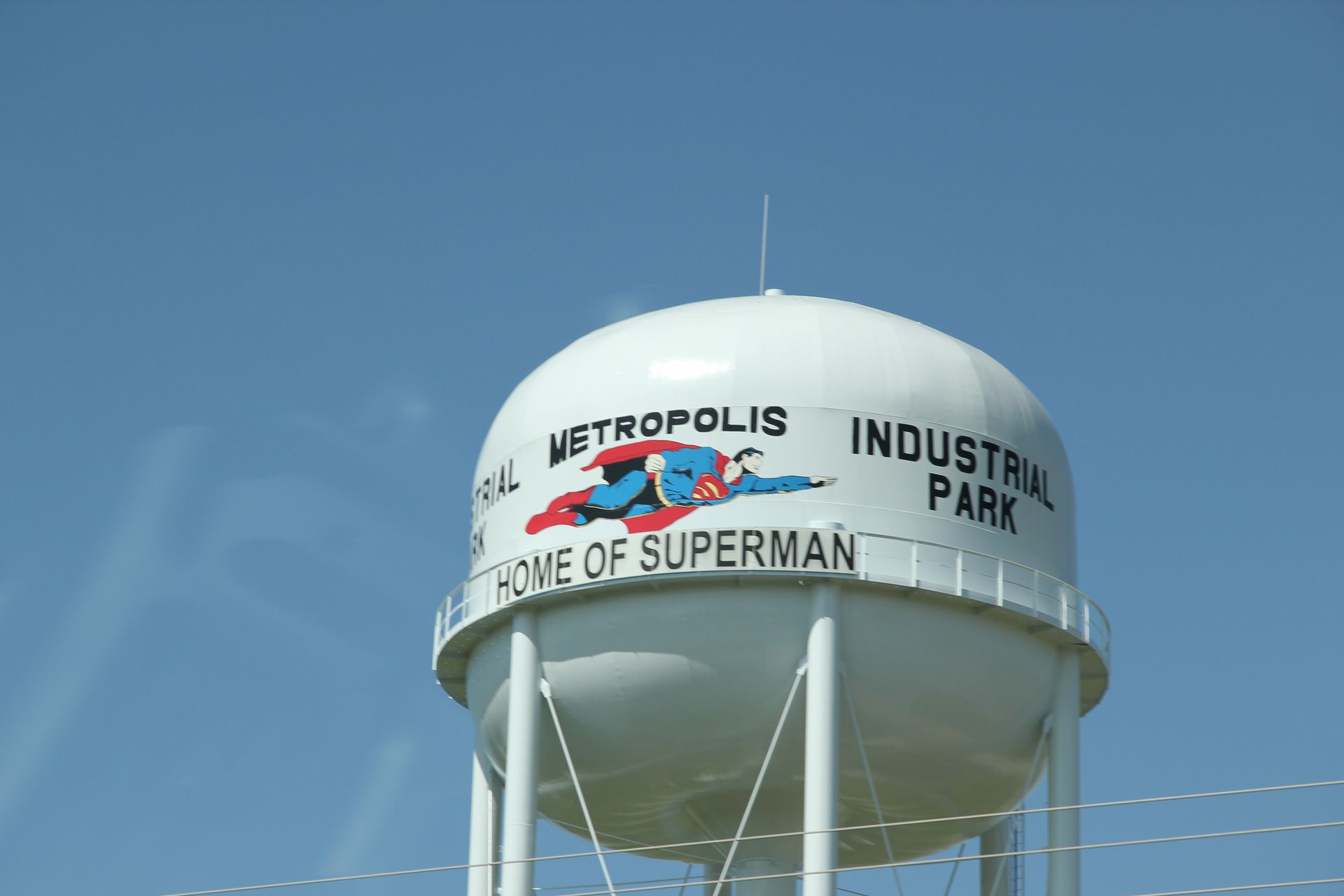
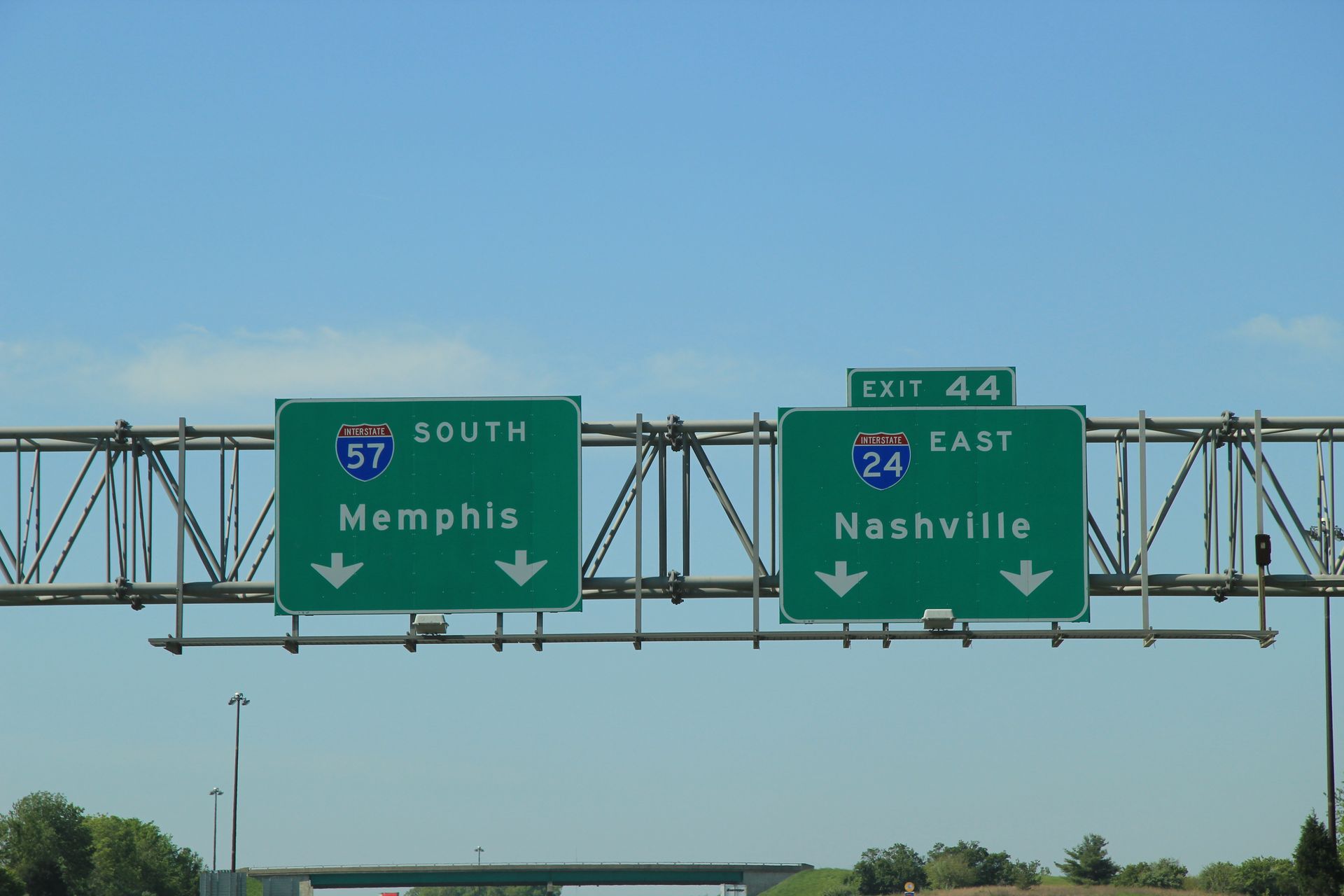
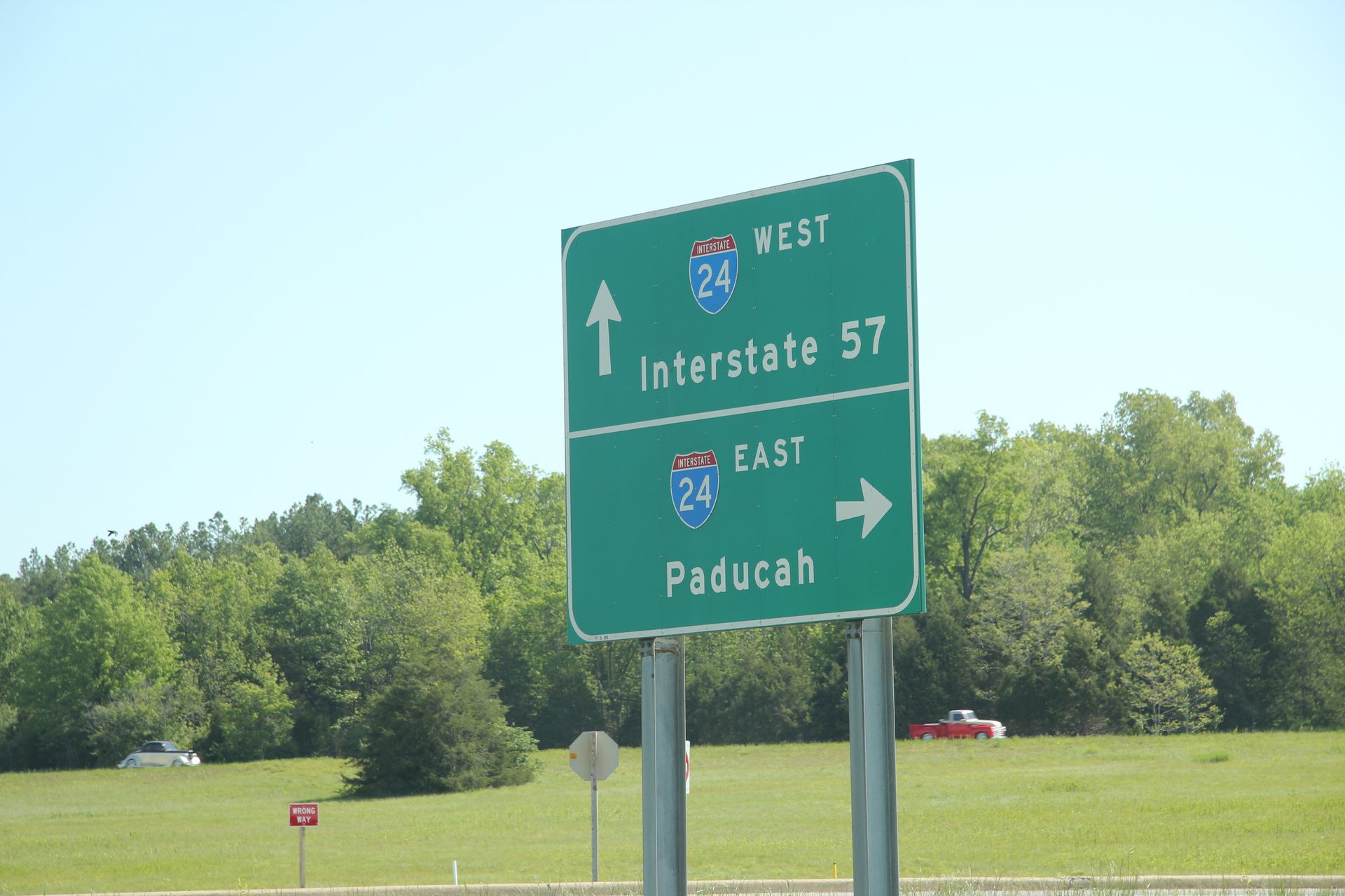
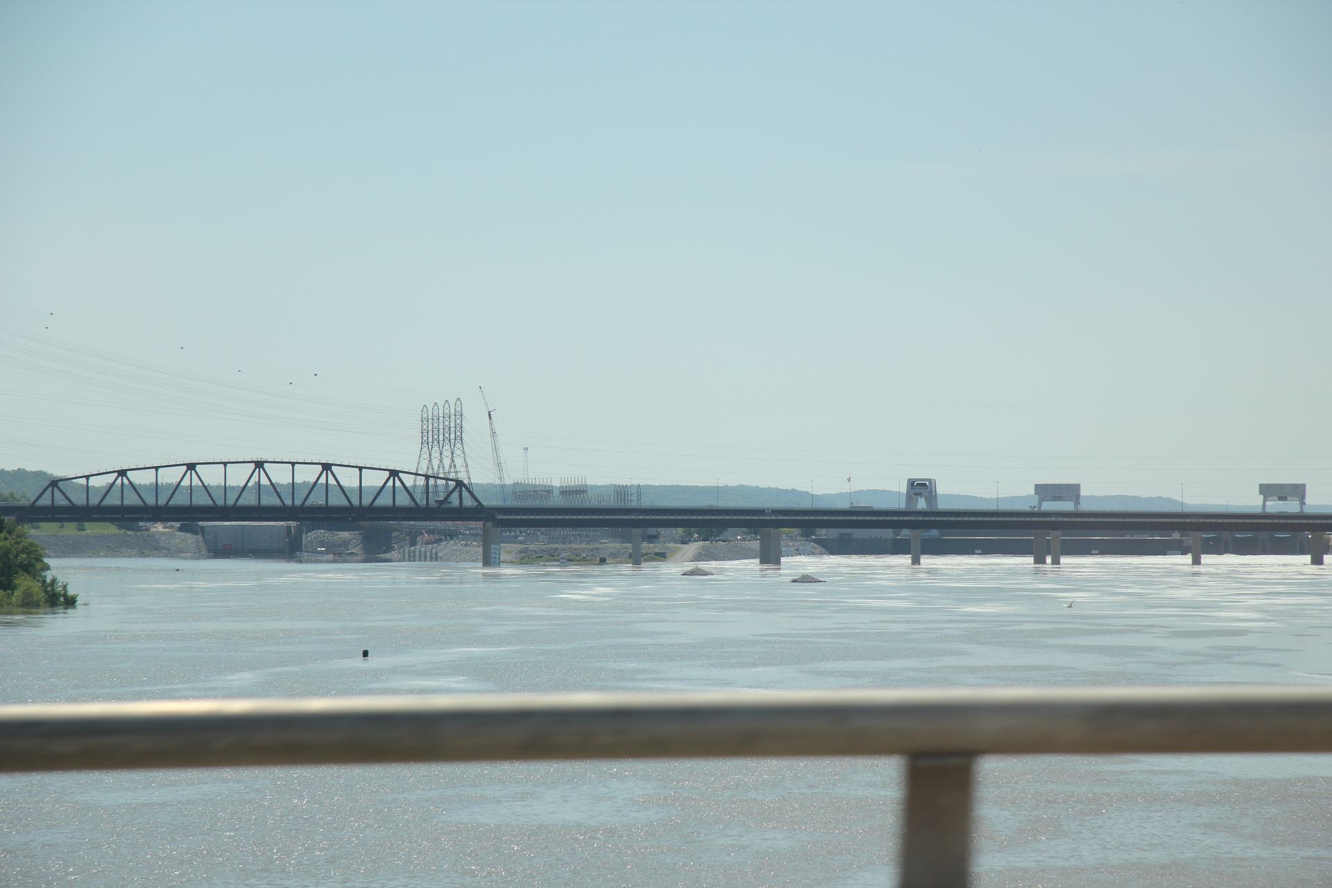
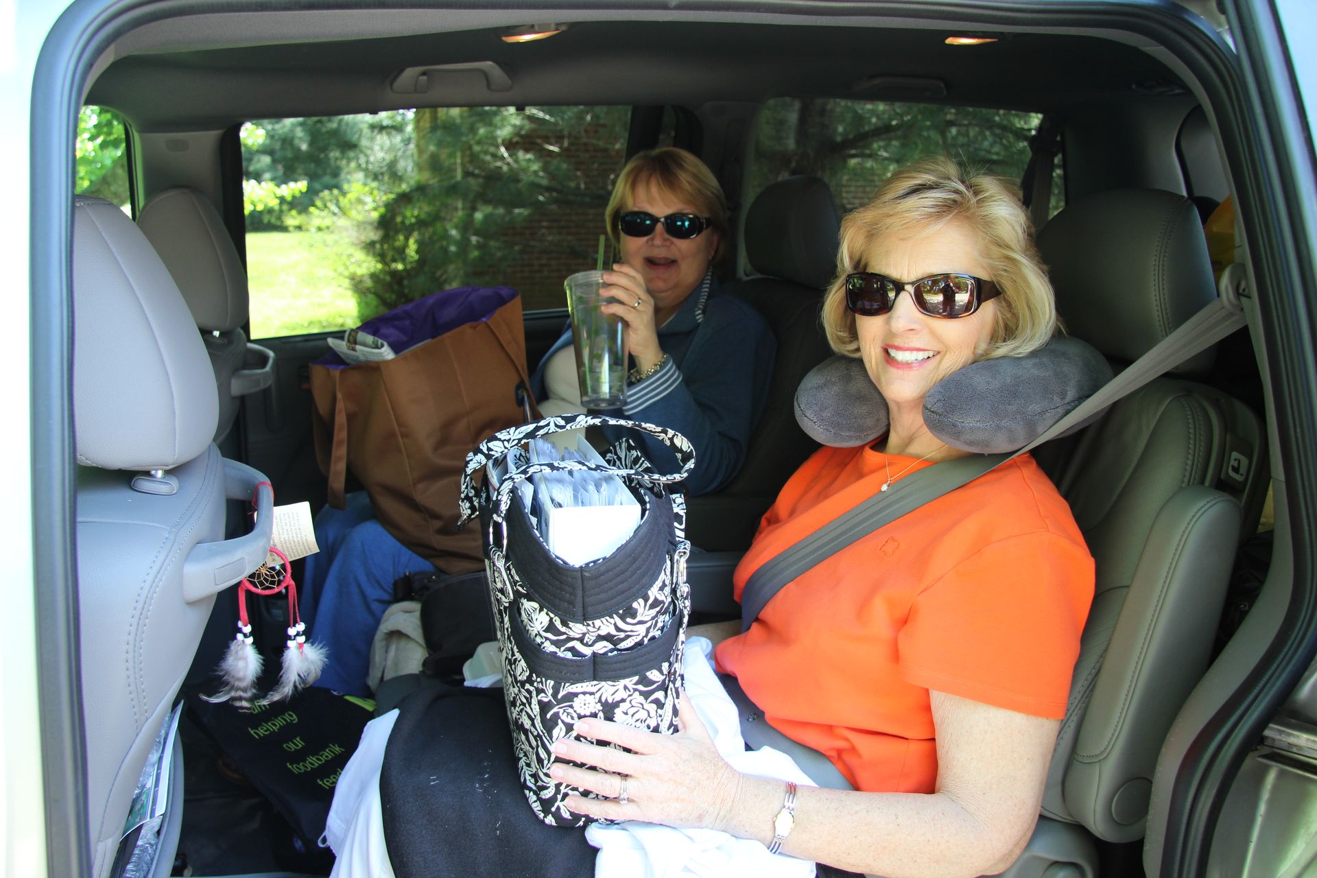
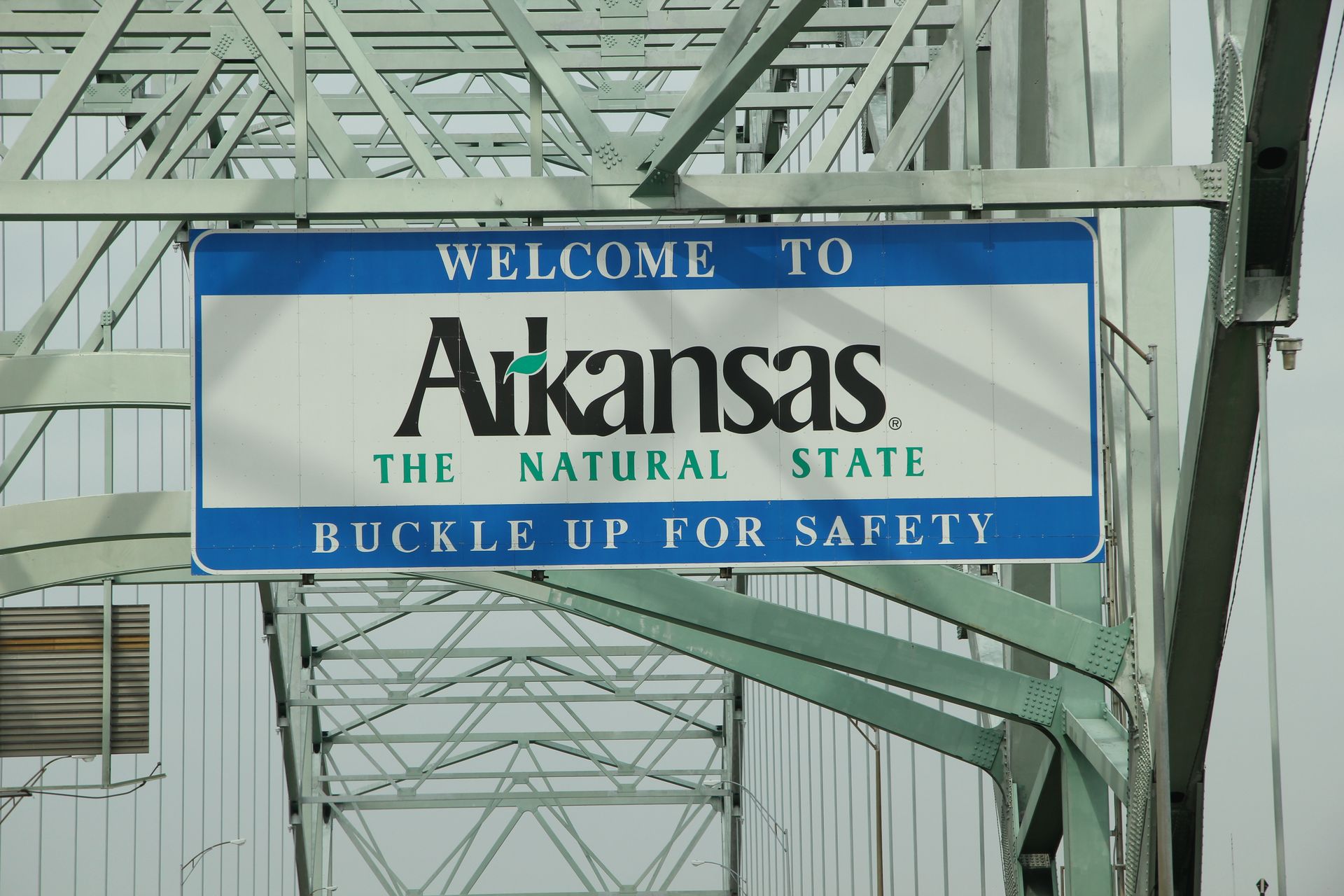
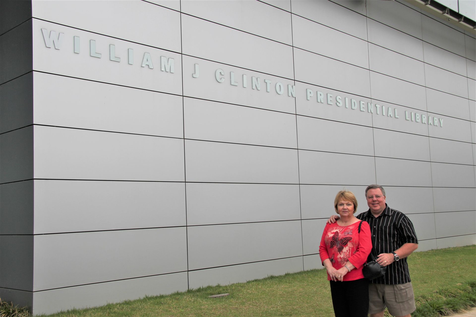
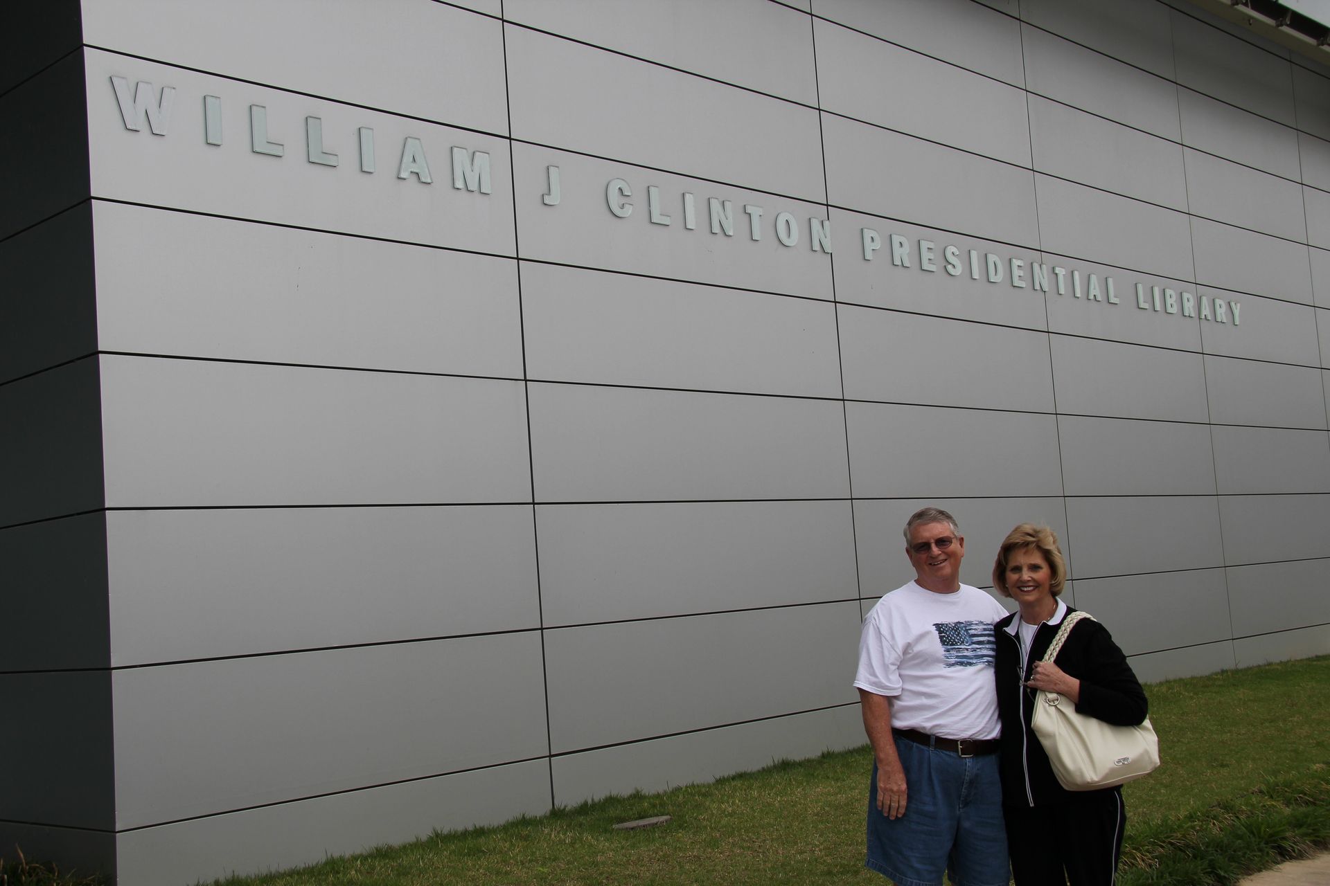
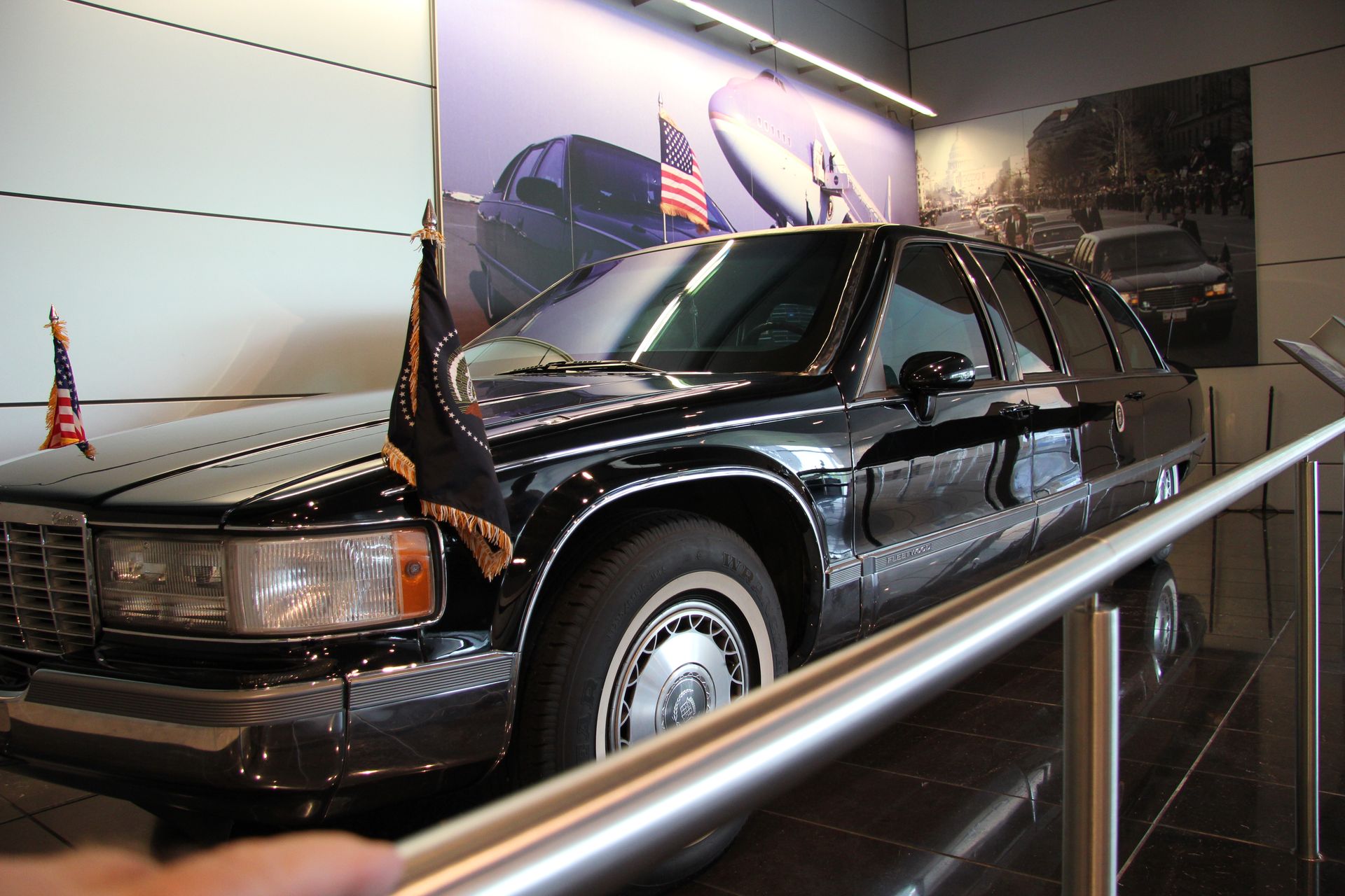
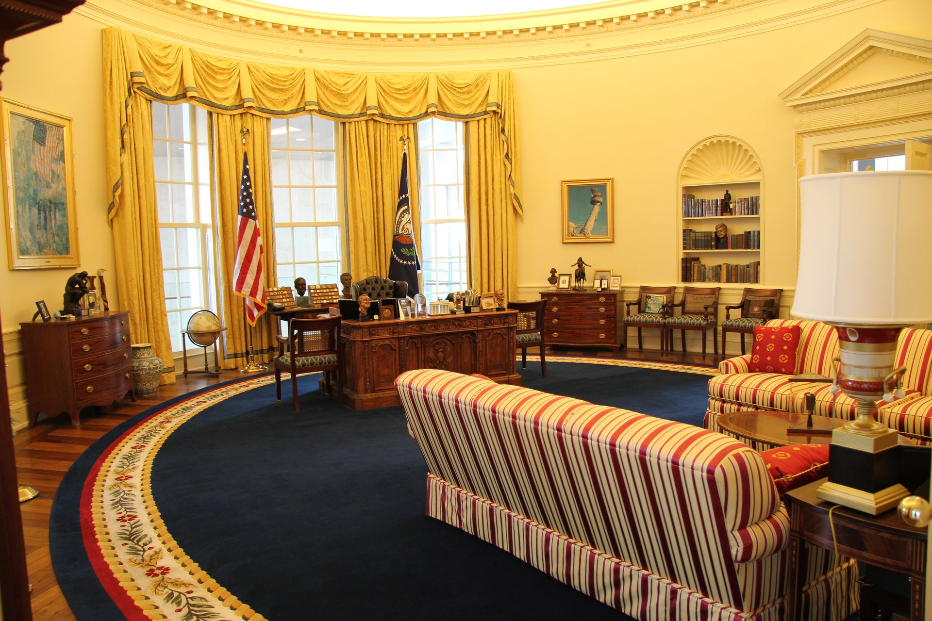
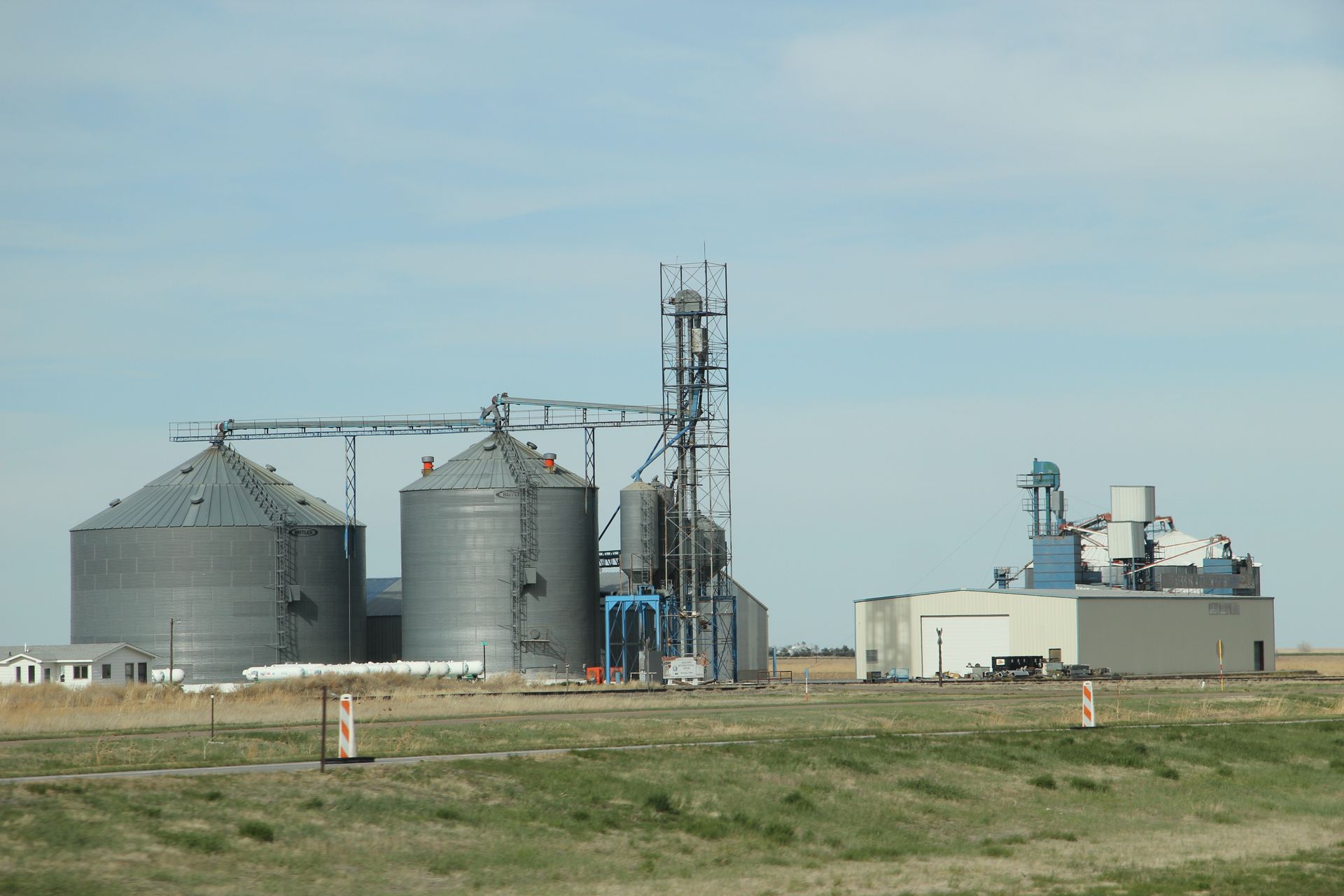
Left Smyrna at 6:00 am this morning for our trip across USA. Gwen has laryngitis, coughing – hope just doesn’t share. We got through Nashville rush hour without incident and stopped at Pilot/Wendy’s for a quick bite in Dickson. David got bad cream that curdled in his coffee. When he got up to take it back the loose table leg caused him to splatter it on his shirt – first clothes spill of the day but resolved with a Tide stick. We took one more rest stop and changed drivers. We were in Memphis by 10:00 and got across the Mississippi River and into Arkansas by 10:30. Weather is cloudy, windy and 66. We were at Clinton Presidential Library by 1:00. We visited Clinton Library for a couple of hours. We saw the Presidential limo, the Cabinet conference room and the oval office.
We checked into te Residence Inn with the locomotive sounding A/C. Our main meal were ribs, brisket and pulled pork at Whole Hog Cafe in North Little Rock.
Apr 19: We slept great last night despite a Shay locomotive living
in the HVAC closet – guess that noise was drowned out by I-40 running through
the kitchen. I did feel safe with the outside security light putting on
2000 lumens onto the bed
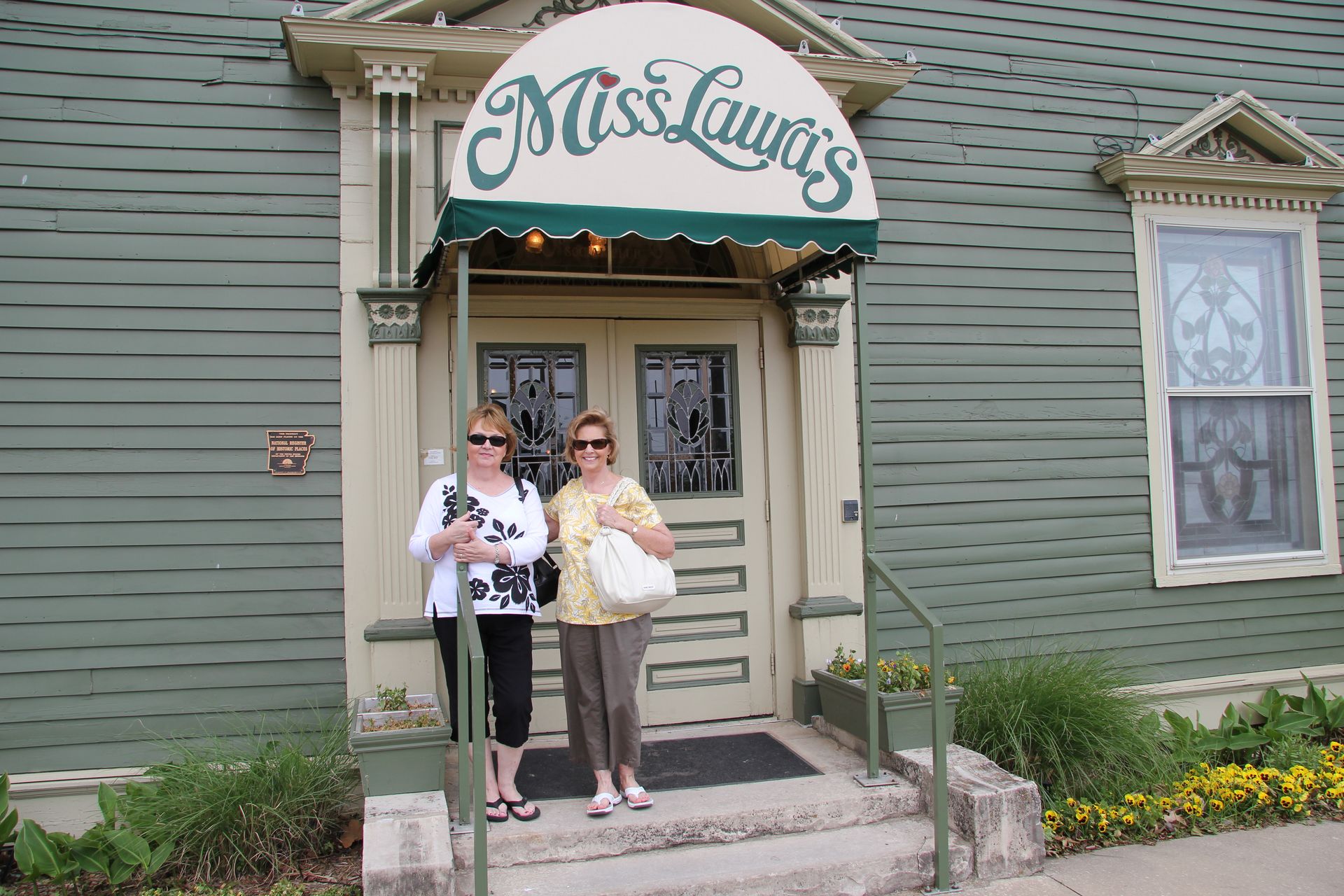
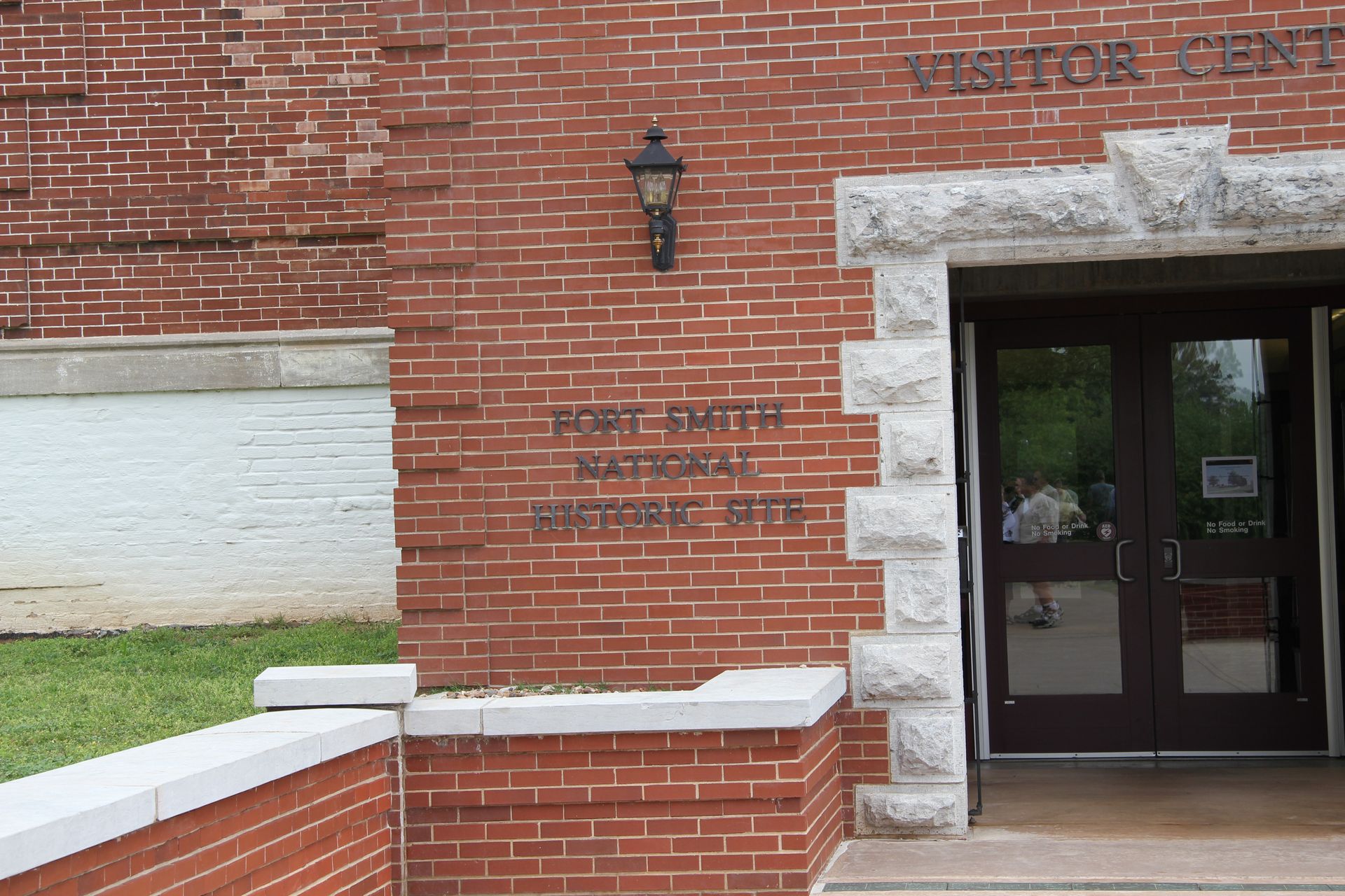
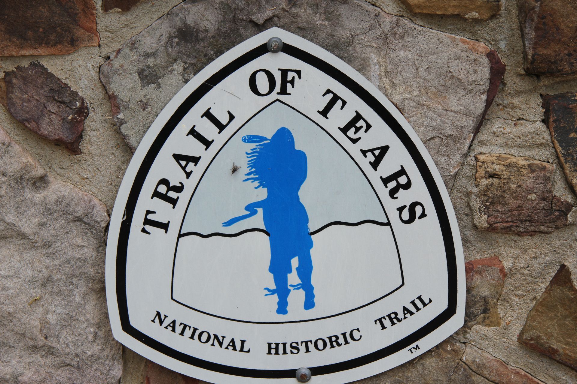
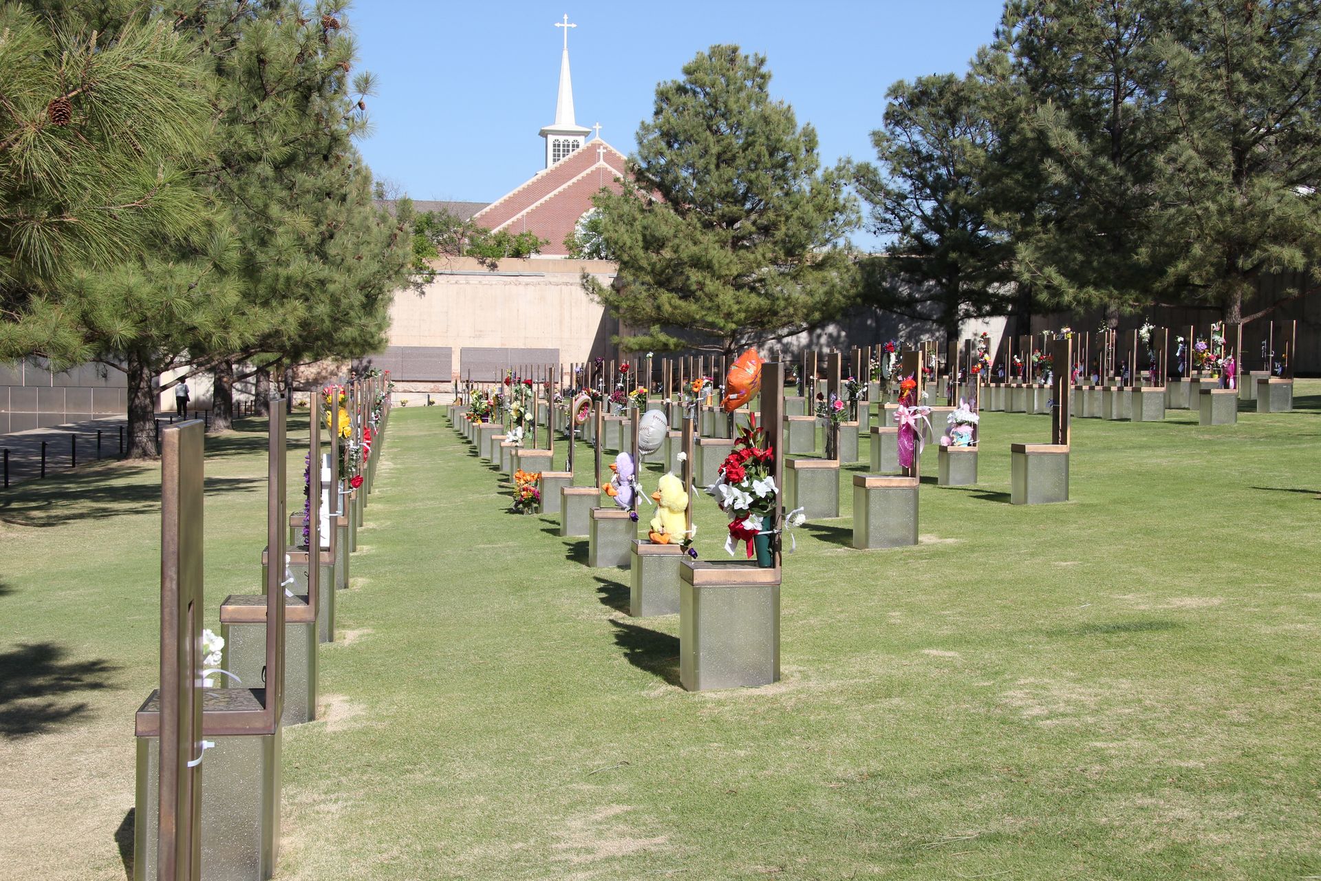
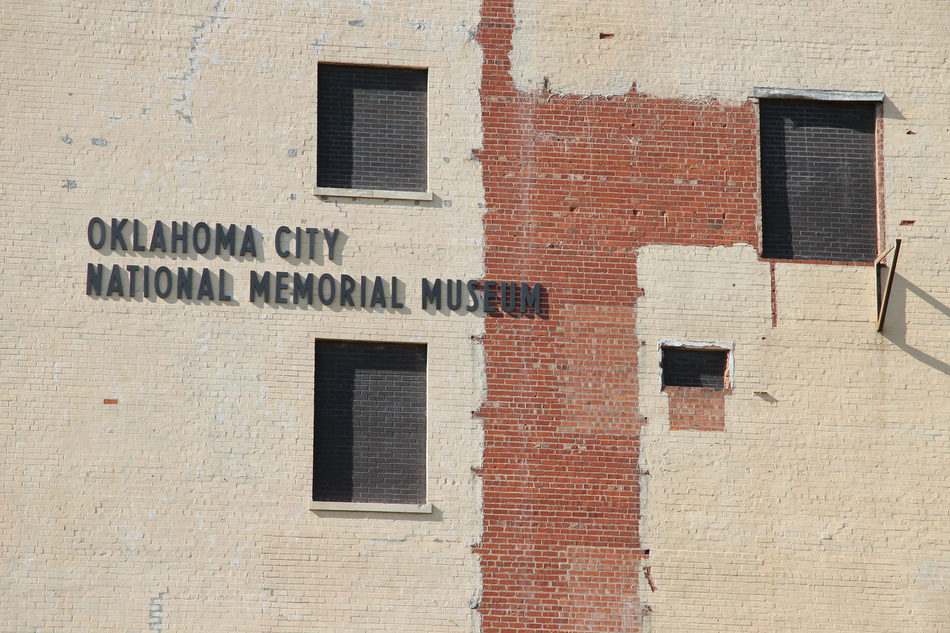
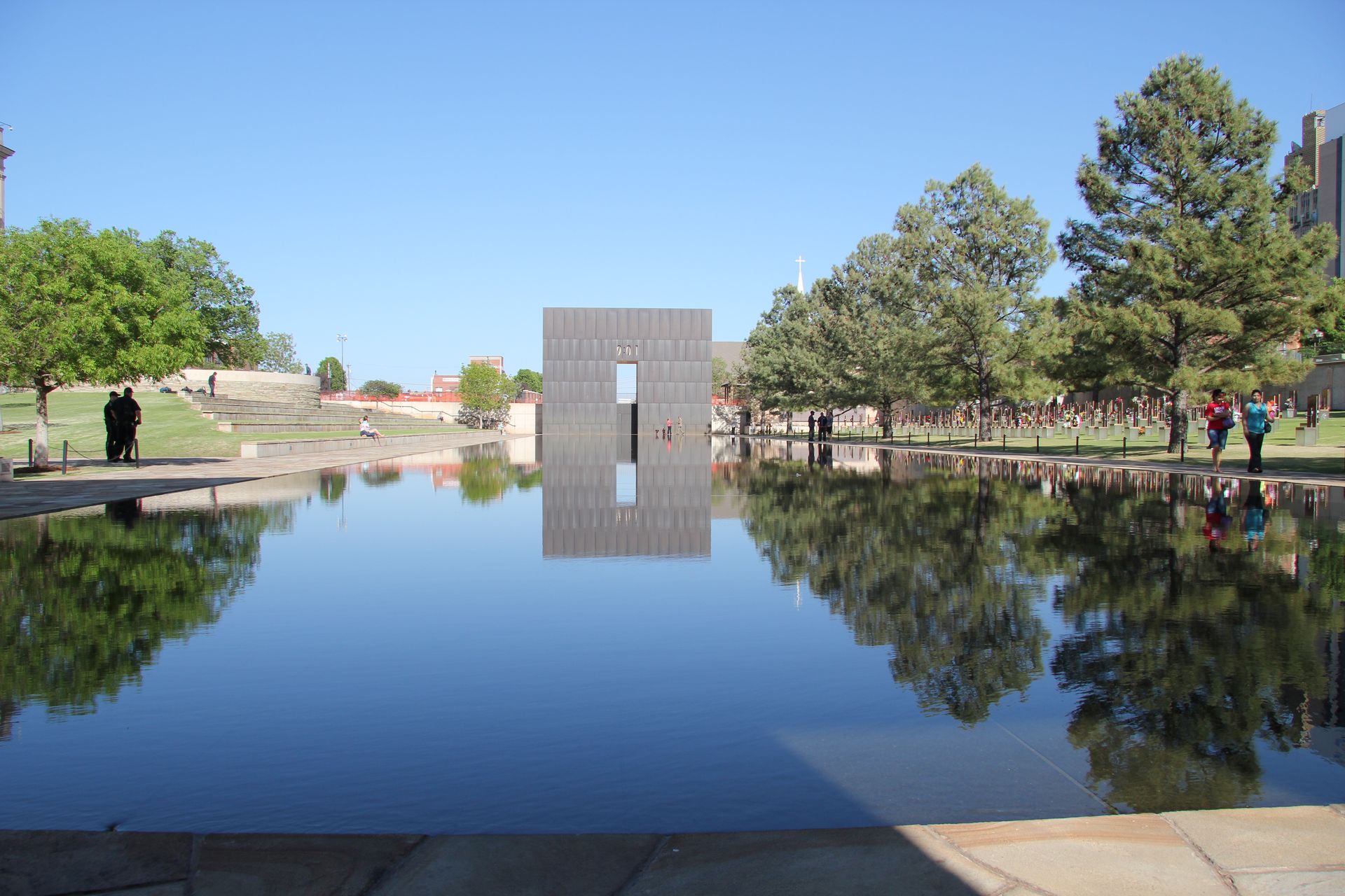
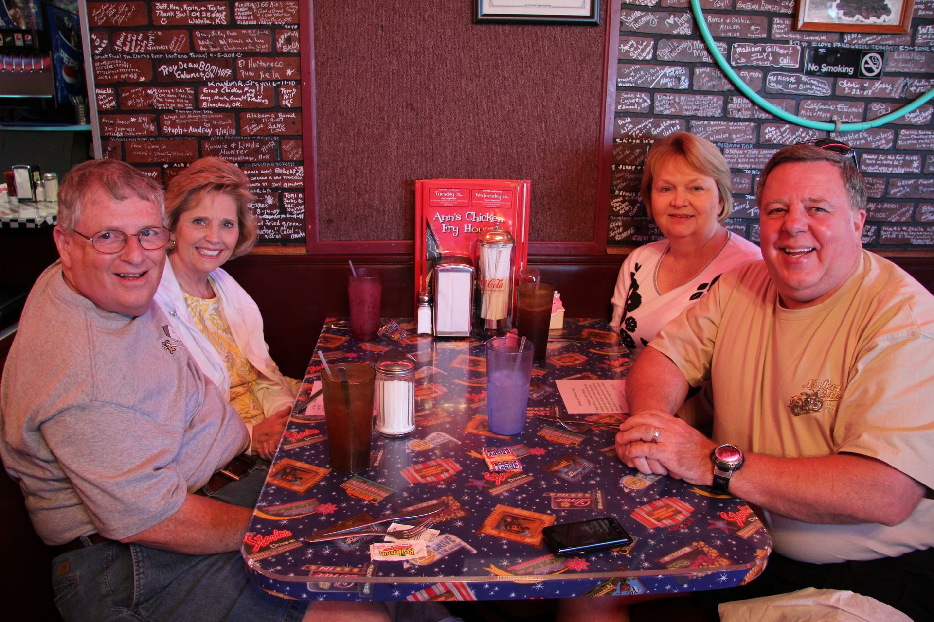
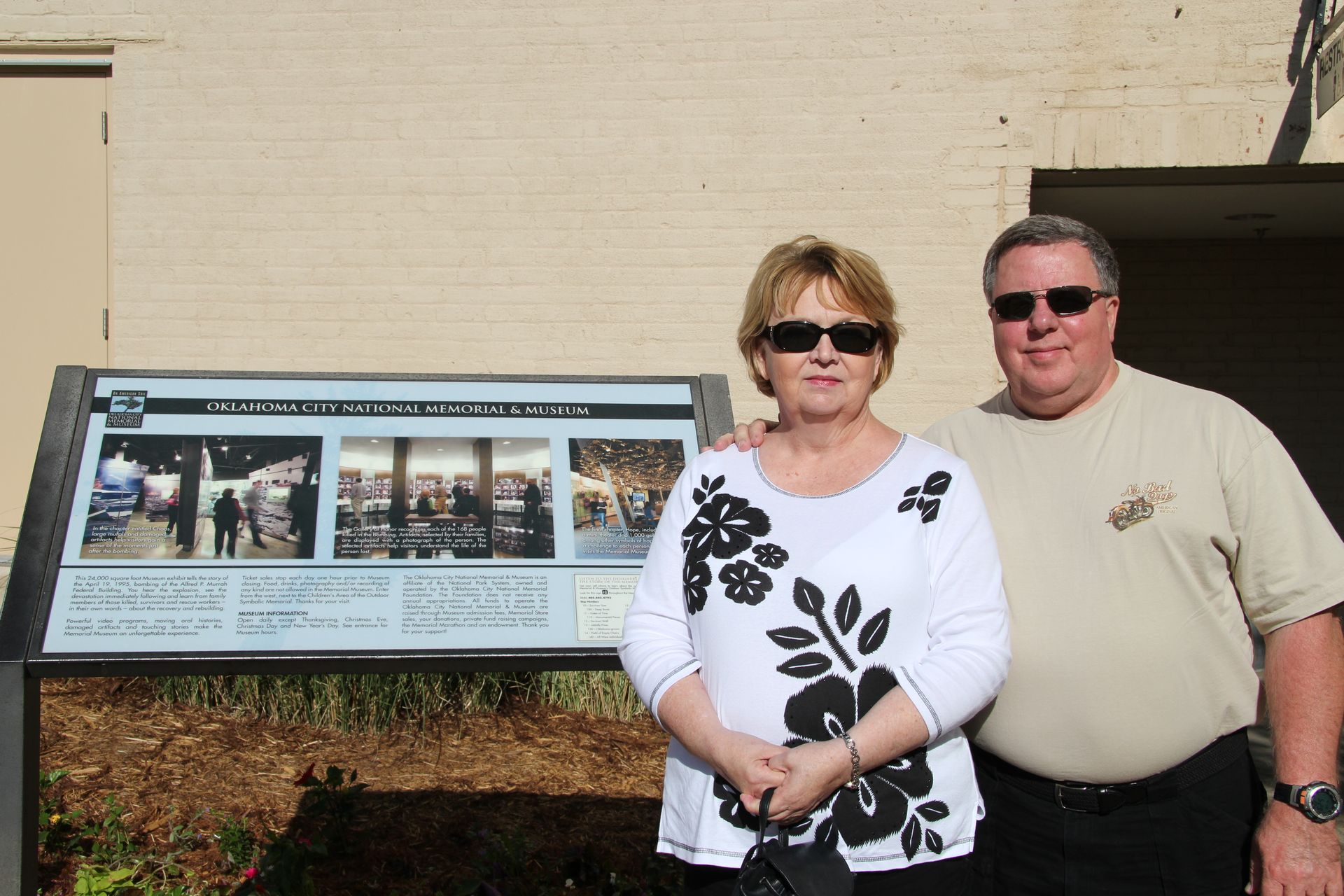
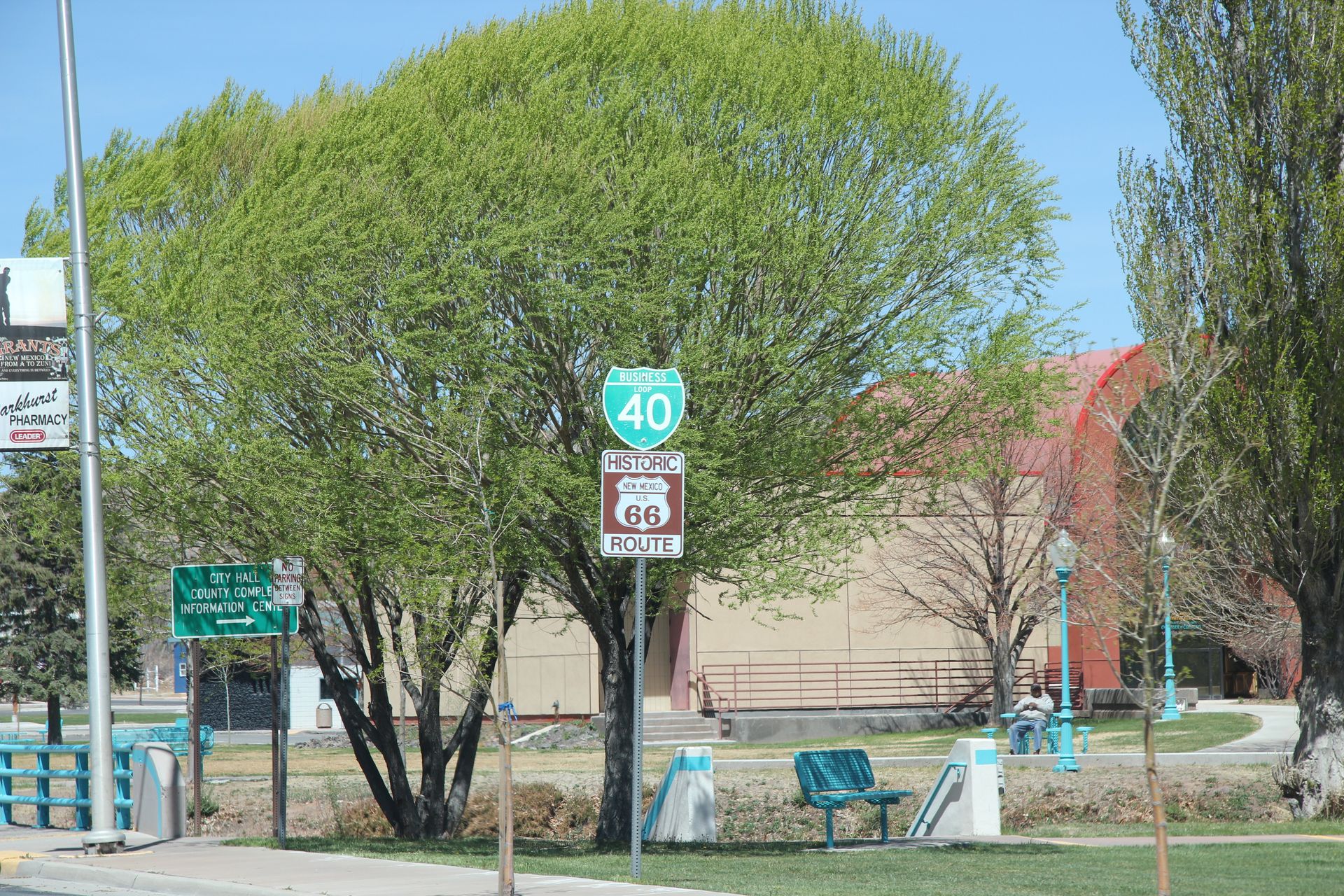
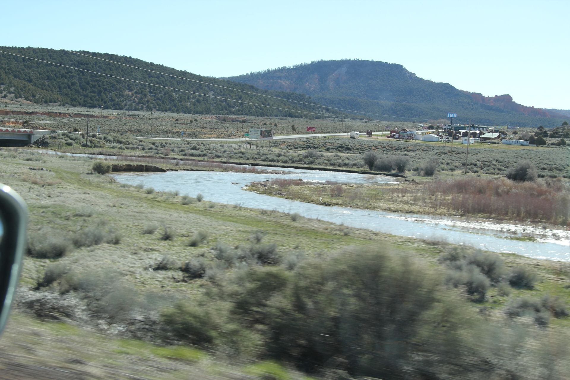
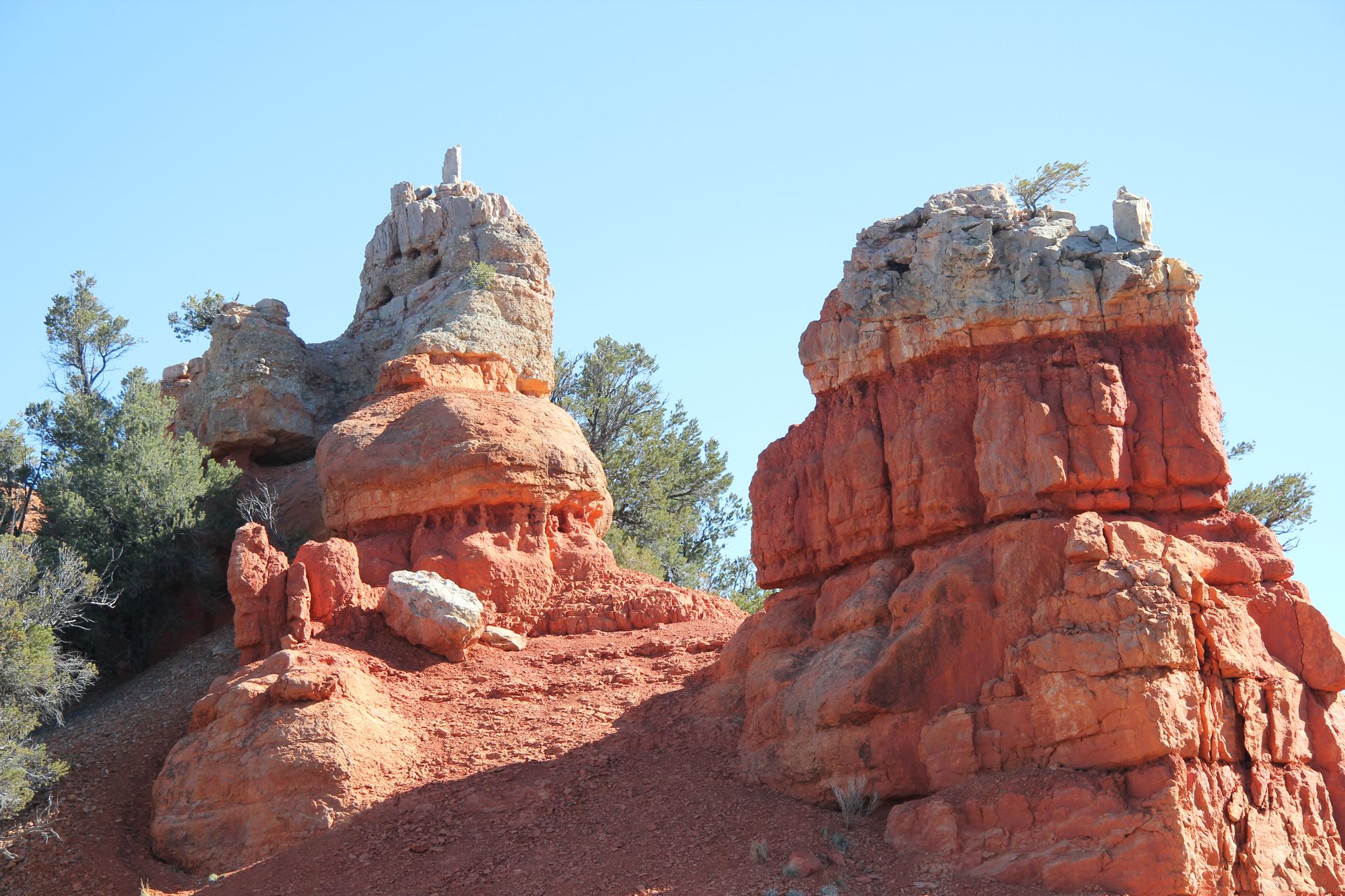
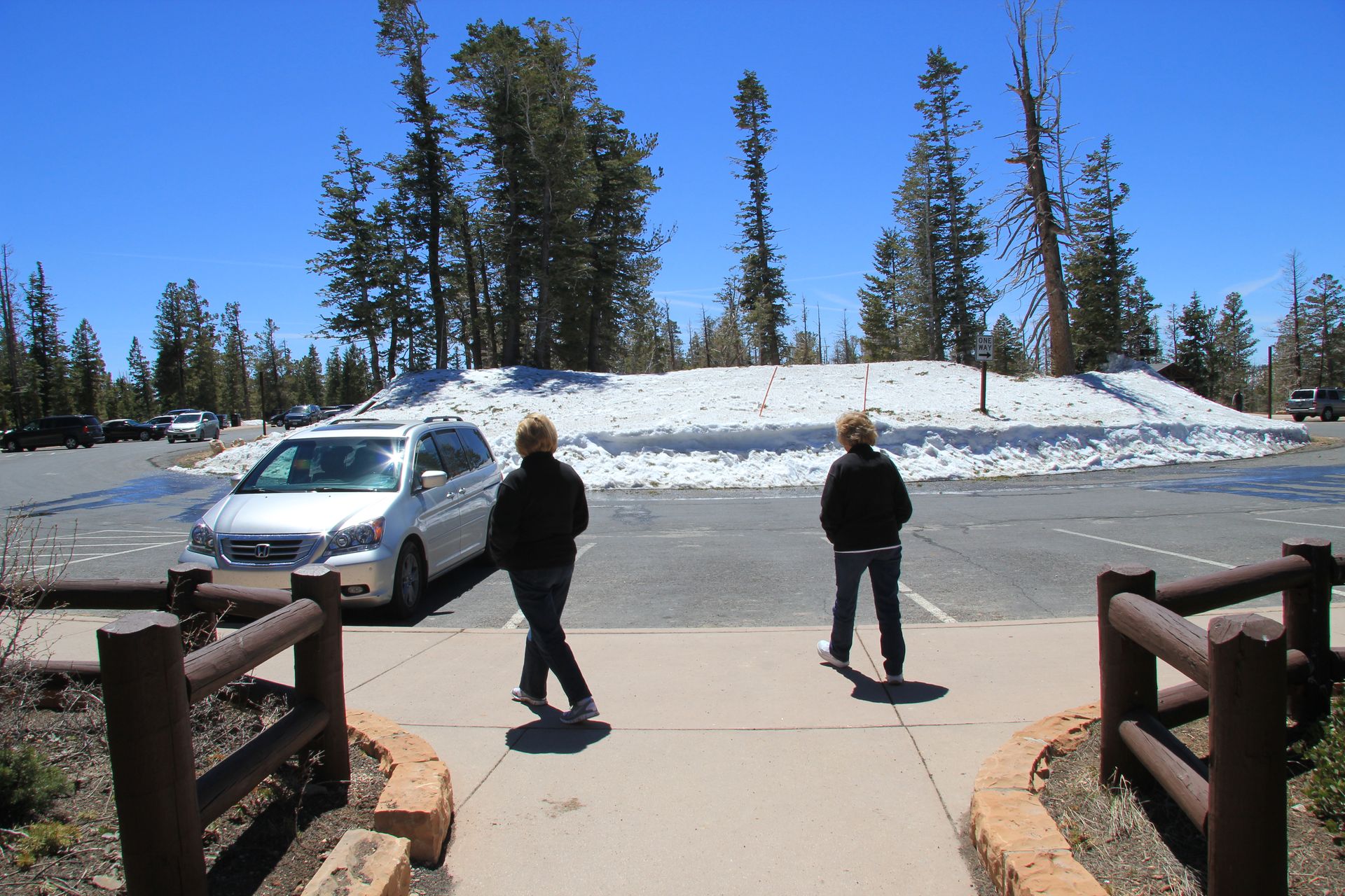
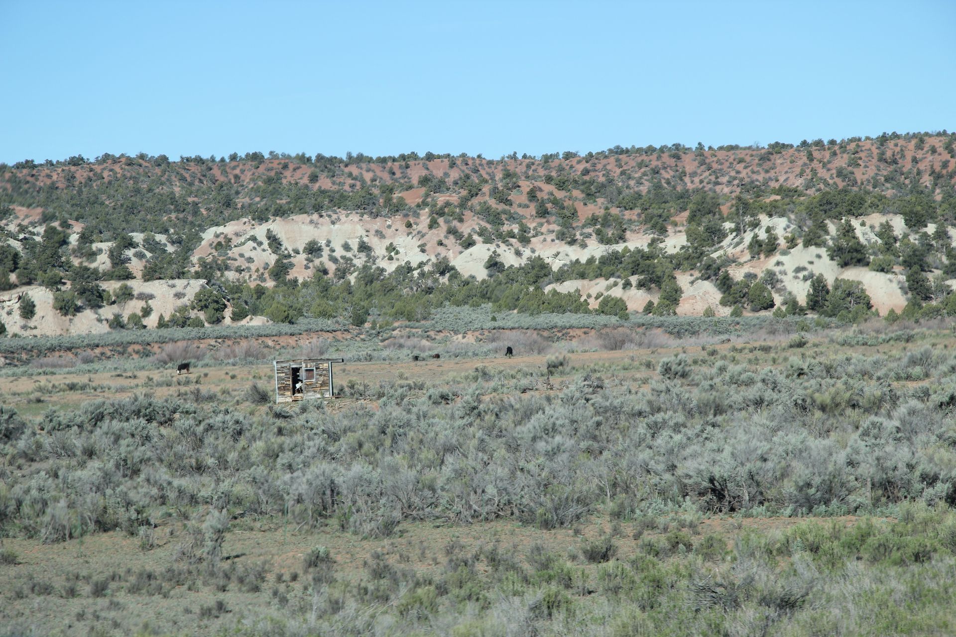
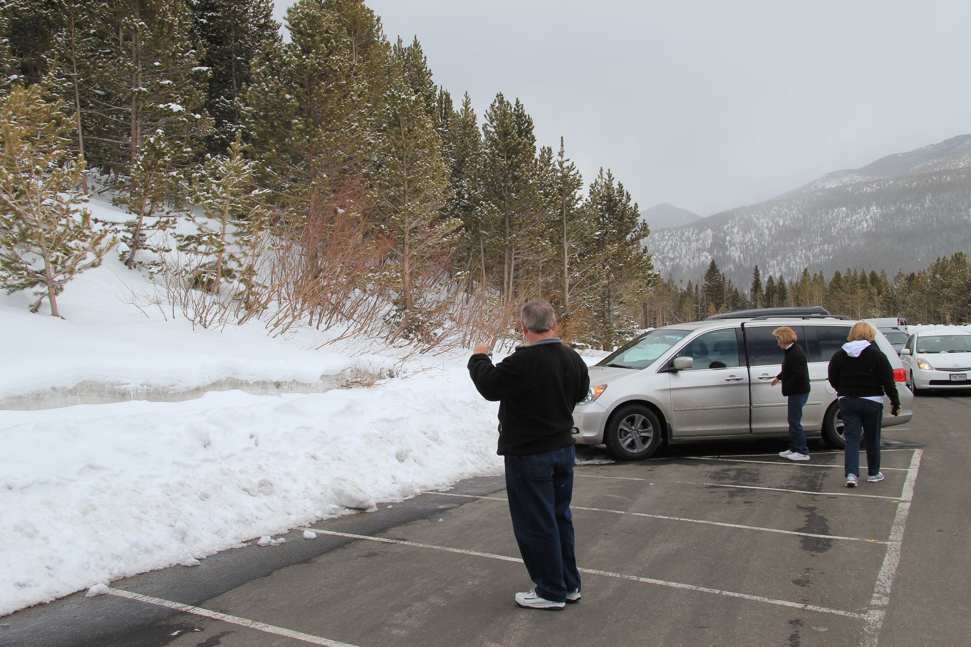
We left Little Rock around 8:00 am and drove to Fort Smith National Monument. We toured the old courthouse where Judge Parker, the Hanging Judge, sentenced over 150 people to be hung at the Fort Smith gallows. The Park Ranger took us over to the gallows and did a demonstration of how the hangings were conducted. The rope was placed around the neck with the large knot placed just behind left ear. When the lever was pulled and the floor collapsed the person fell and the knot caused the neck to snap and break. We also visited part of the Trail of Tears where the Choctaw, Cherokee, Creek (Muskogees), Seminoles and Choctaw and were driven onto reservations from the east. We visited Miss Laura’s Social Club or house of ill repute. We met an elderly lady who was a great tour guide. Gwen and Patsy received their ticket showing they were without disease and could work at Miss Laura’s for the next month. We left them behind and David and I took off to Oklahoma. After a quick corn dog and coke at Sonic we hit I 40 and arrived in Oklahoma City around 3:30. We visited the Oklahoma City National Memorial until 5:30 and drove to the Residence Inn and checked in. We then went to Ann’s Chicken Fry House for chicken fried steak and chicken livers.
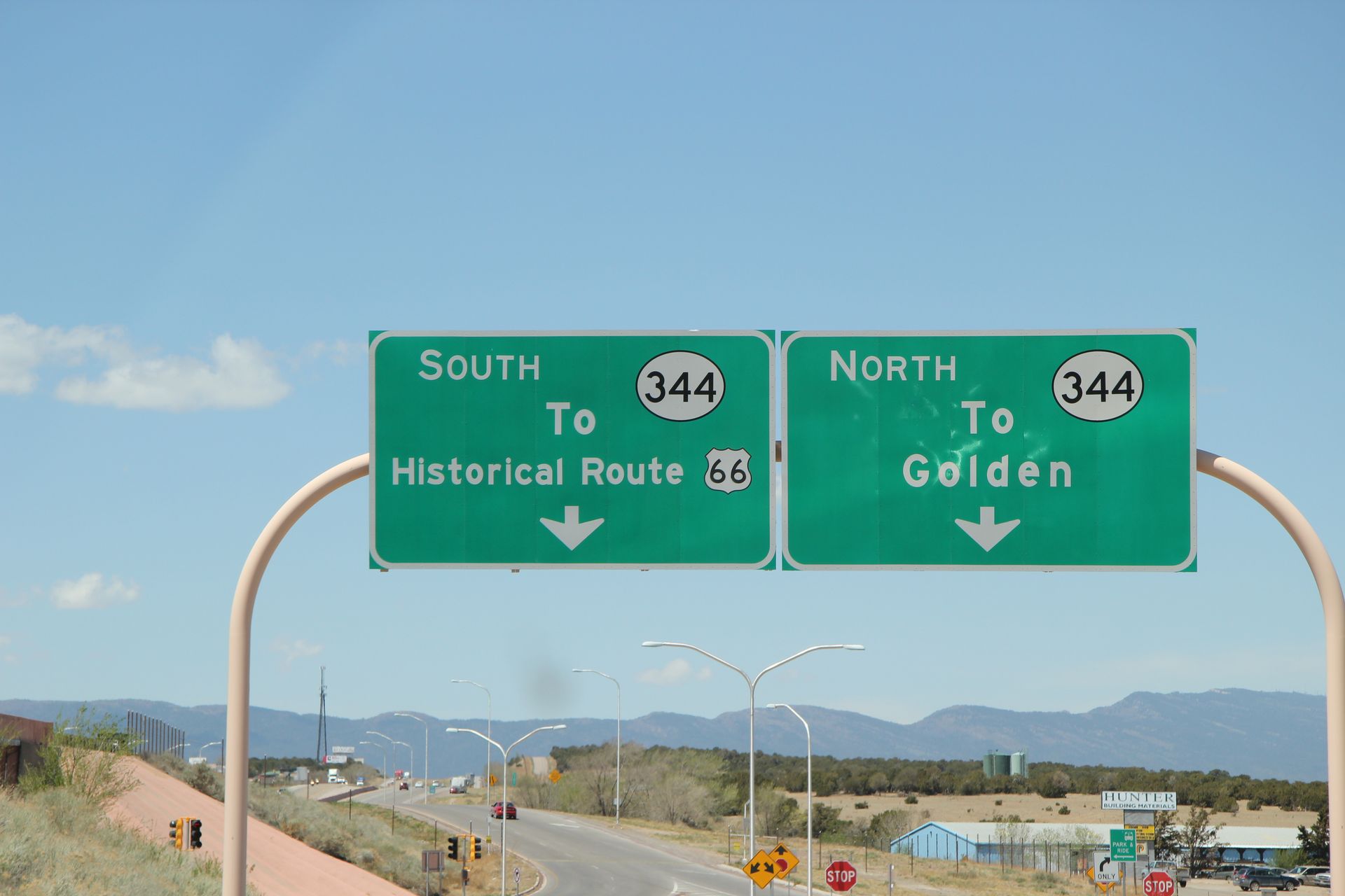
Oklahoma City, OK to Amarillo, TX
- Day 3, Wed, Apr 20, 2011
- Google Map - 269 miles
- Links
- Along the way
- Gwen's Oklahoma Route 66
- Route 66 - Road Wanderer - Oklahoma*
- Route 66 - Road Wanderer - Texas*
- Oklahoma Route 66
- Texas Route 66
- B. Conoco Service Station - near El Reno, OK
- C. Lucille's Route 66 Gas Station - near Hydro, Ok
- Route 66 Thunderbirds - Weatherford - between Hydro & Clinton
- D. Y Service Station and Route 66 Museum - Clinton, OK
- E. National Route 66 Museum - Elk City, OK
- F. Ghost Town - Texola, OK
- G. U Drop In Cafe - Shamrock, TX
- H. Historic District - McLean, TX
- I. Good Route 66 Road - Conway, TX
- Amarillo Links
- Amarillo - Wikitravel
- Palo Duro Canyon State Park
- J. Historic 6th Street - Amarillo, TX
- Amarillo AFB Pics
- Dinner at the Big Texan - Amarillo, TX
- Fairfield Inn
- Residence Inn*
- National Parks
- Washita National Historic Site - near Cheyenne, OK
- Alibates Flint Quarries National Monument - near Amarillo
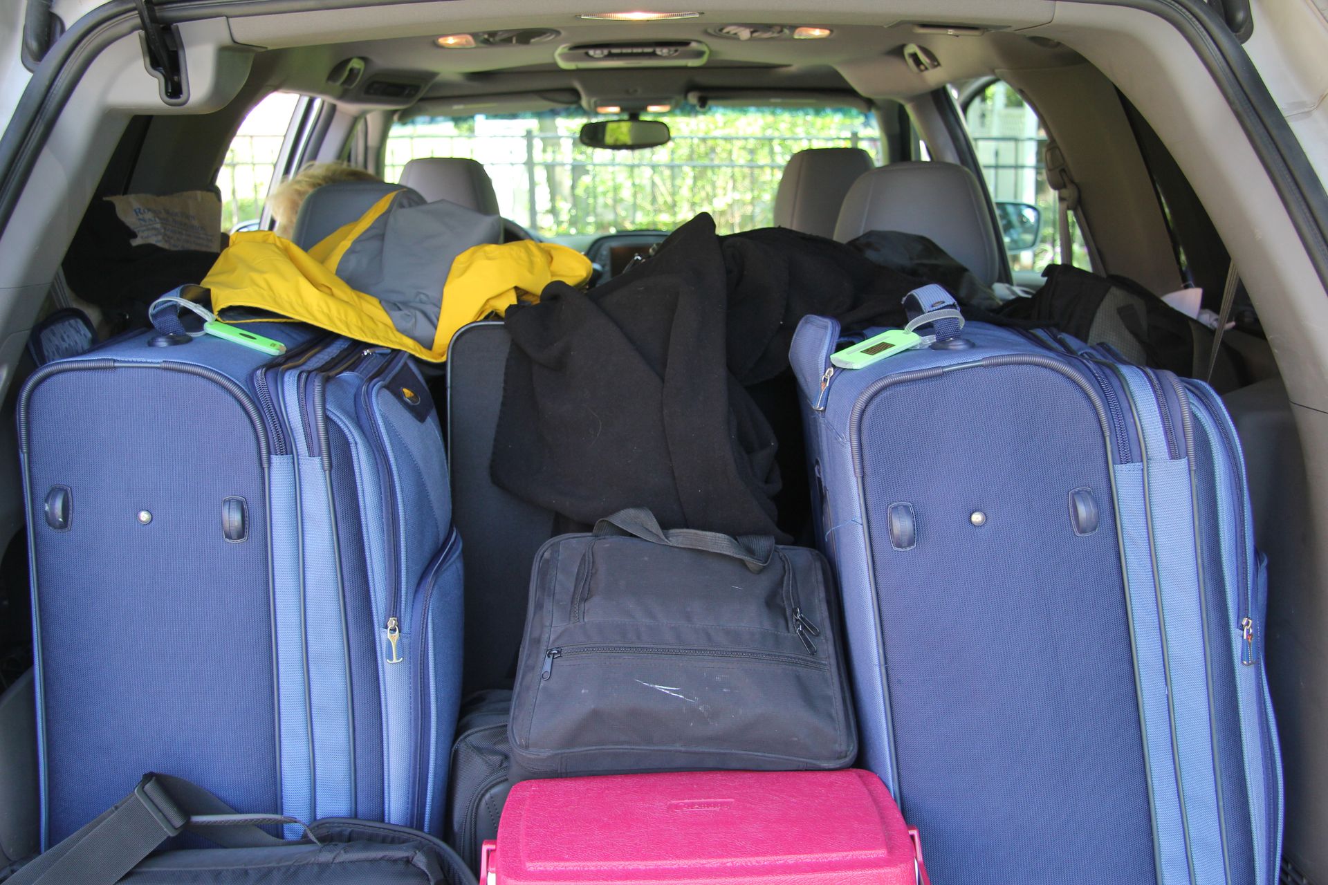
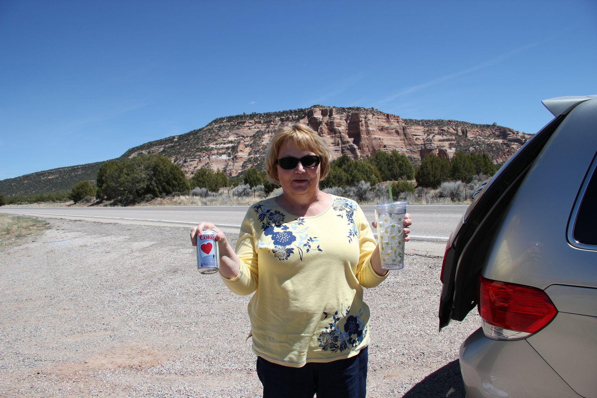
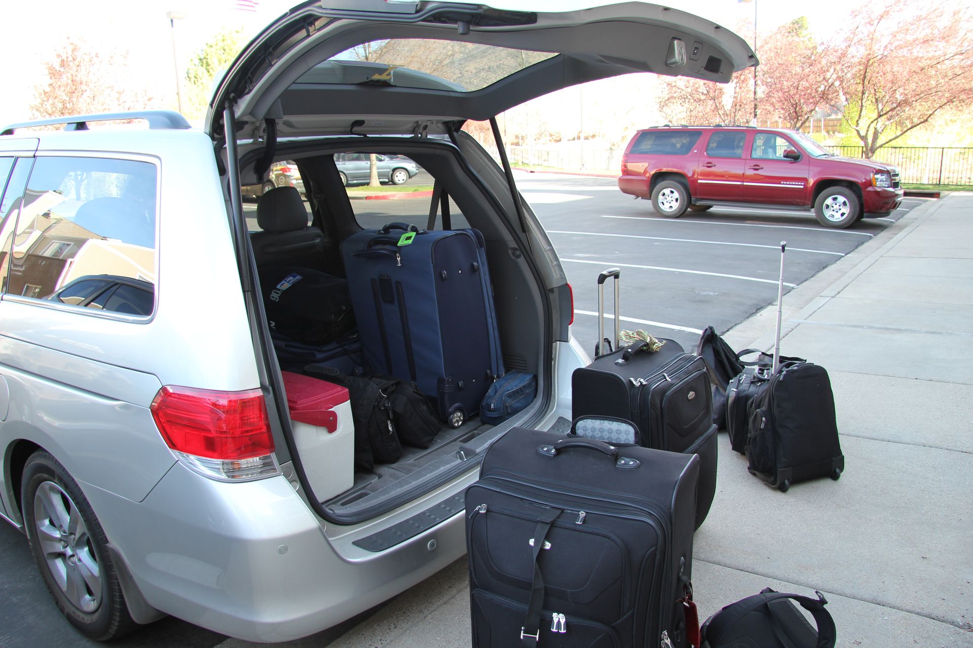
I was up early this morning so showered and spent some time trying to clean out and rearrange the “stuff” in the car. Stuff includes case of shoes, jackets, blankets, ice chest, food box, tripods, books, brochures and Gwen’s Walmart bag full of used tissues (yeh – she is sick). This is before we add the 4 bags of luggage and electronics (3 laptops, 2 Ipads, 4 cell phones, 4 cameras), and, oh, a new box of tissues for Gwen. BTW she ran out of tissues during the night so David found an unlocked maid’s closet and borrowed some from them.
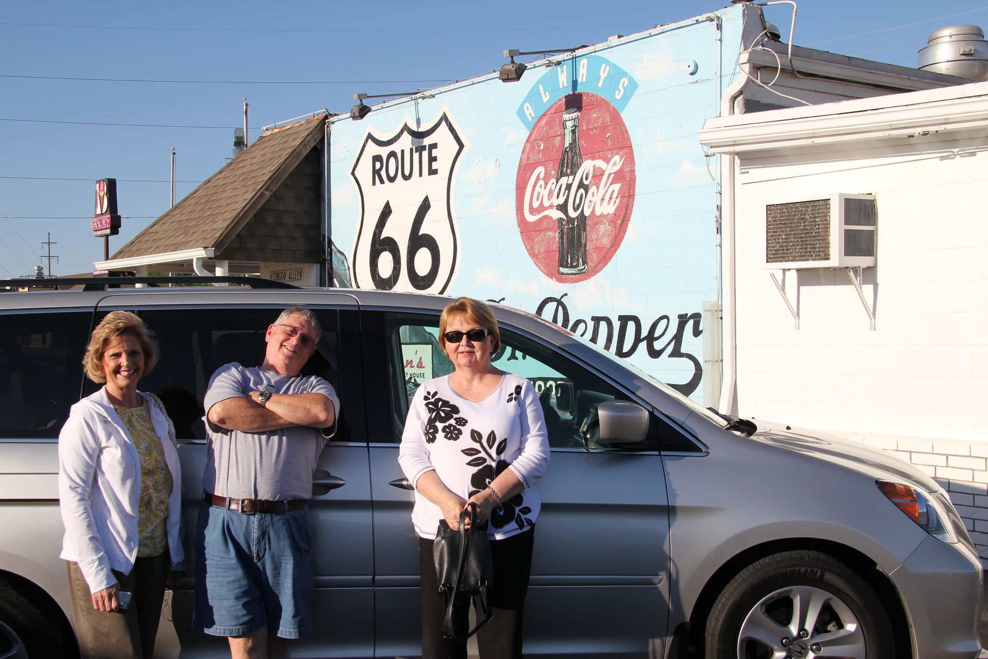
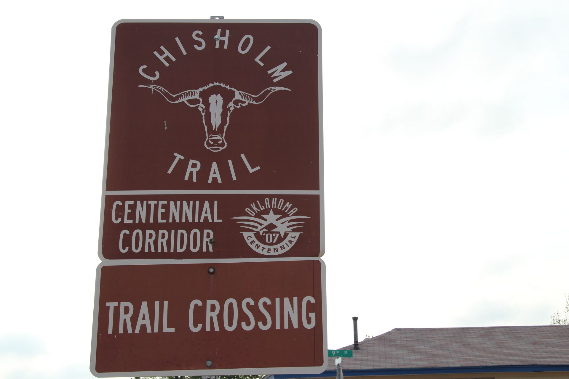
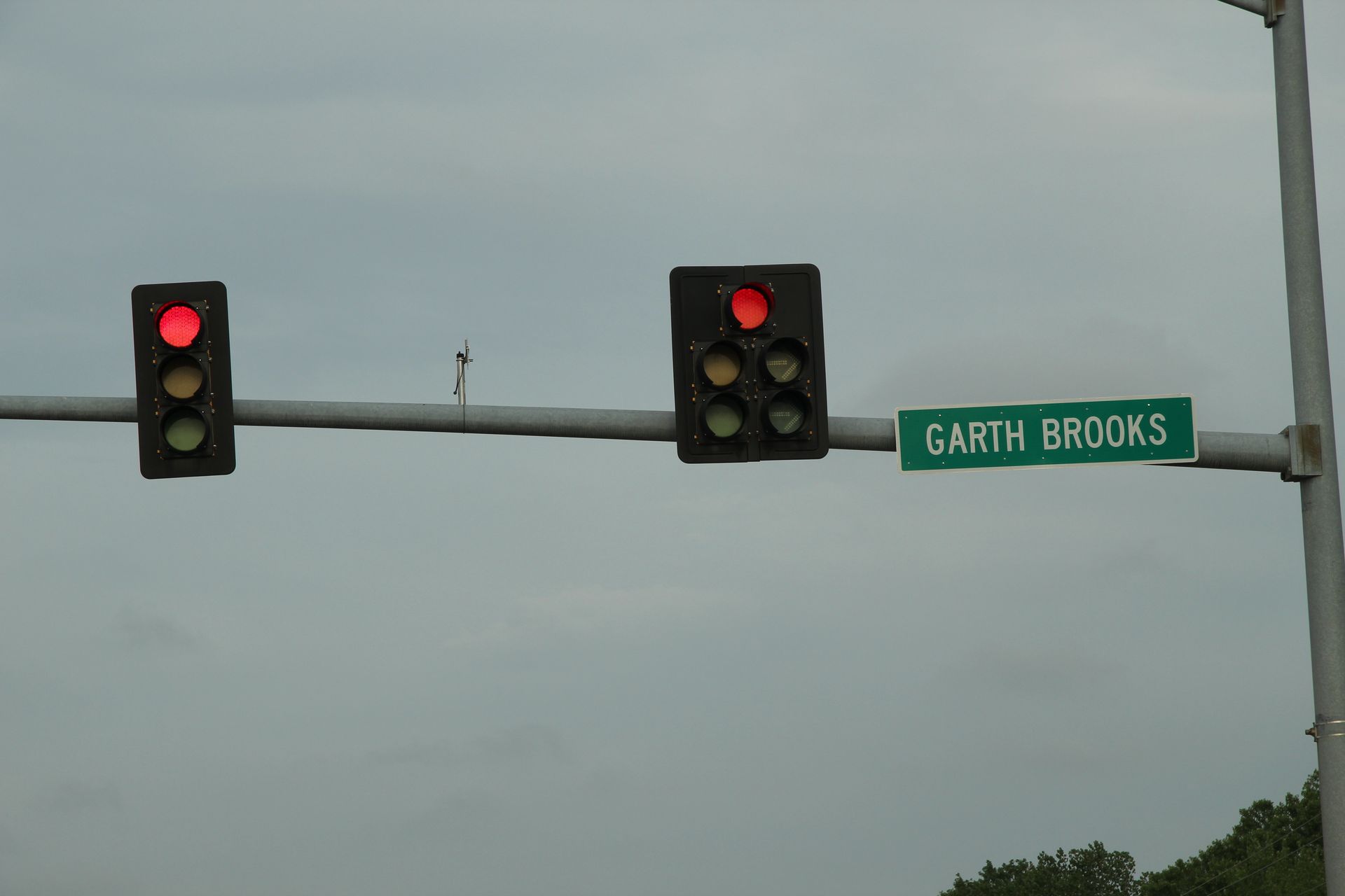
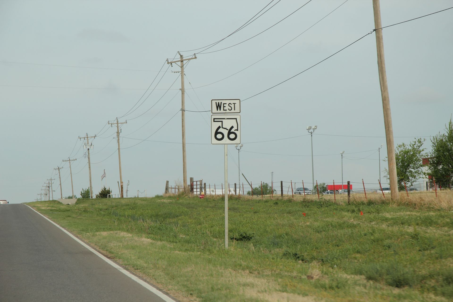
Anyway – we had breakfast at hotel and then picked up 39th Avenue NW (Route 66) and headed west. Our first stop was in Yukon to get photos of things like the the flour mill, the Chisholm Trail marker, Garth Brooks Road (he was born here).
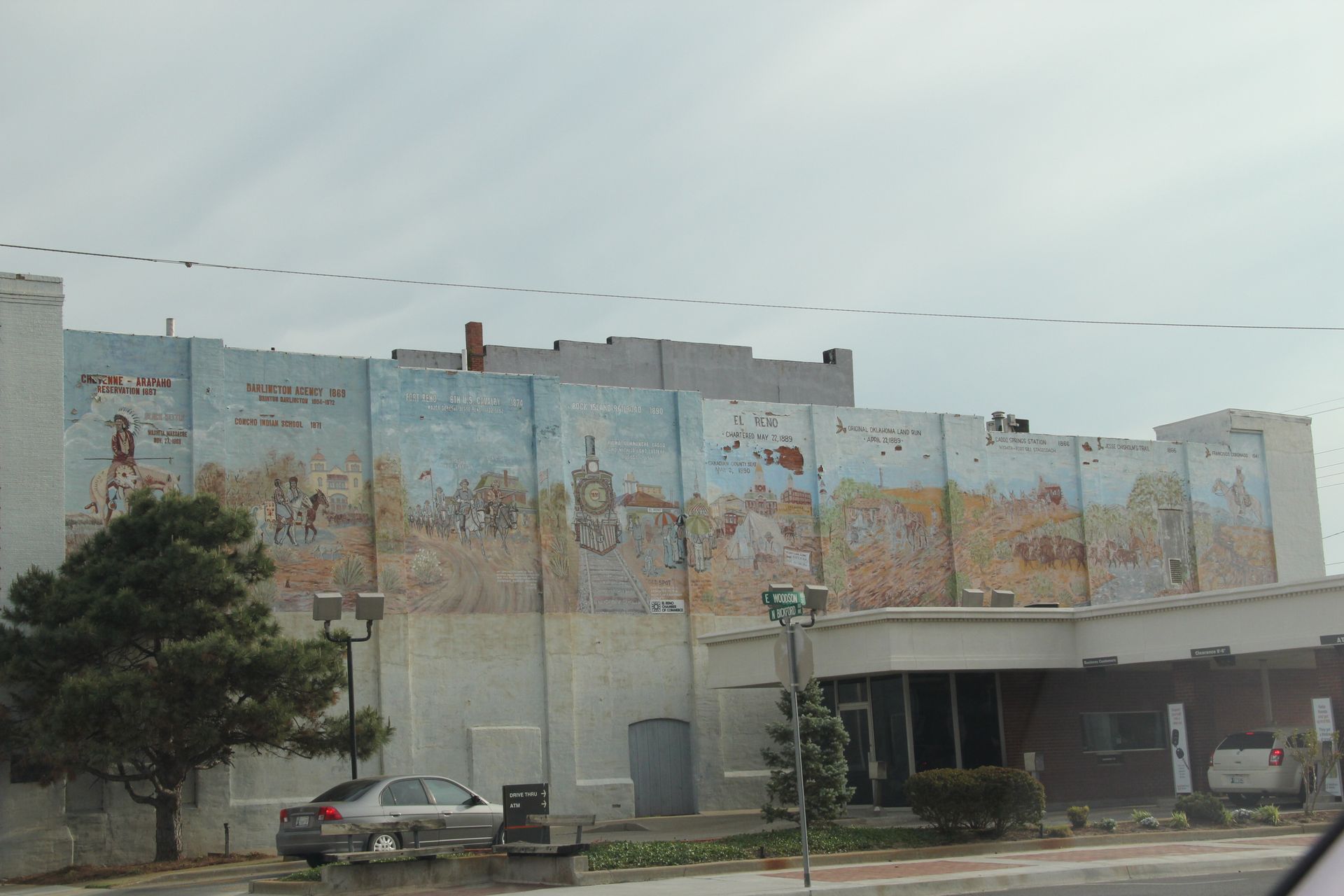
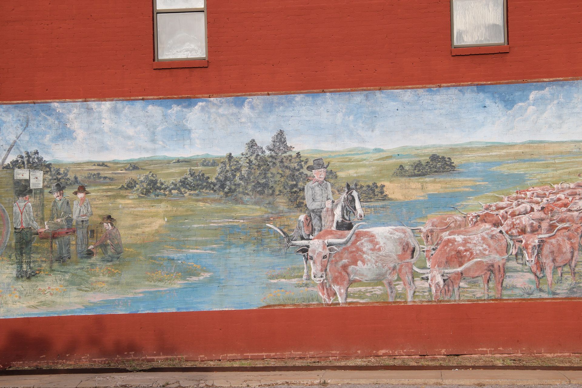
Our next stop was in El Reno – picture of Roberts Grill, home of onion burger, and a picture of the old water tower and building mural. We headed north to Ft Reno at 9:00 but visitor’s center opens at 10:00 so took a pic of the Officer’s Quarters and drove on.
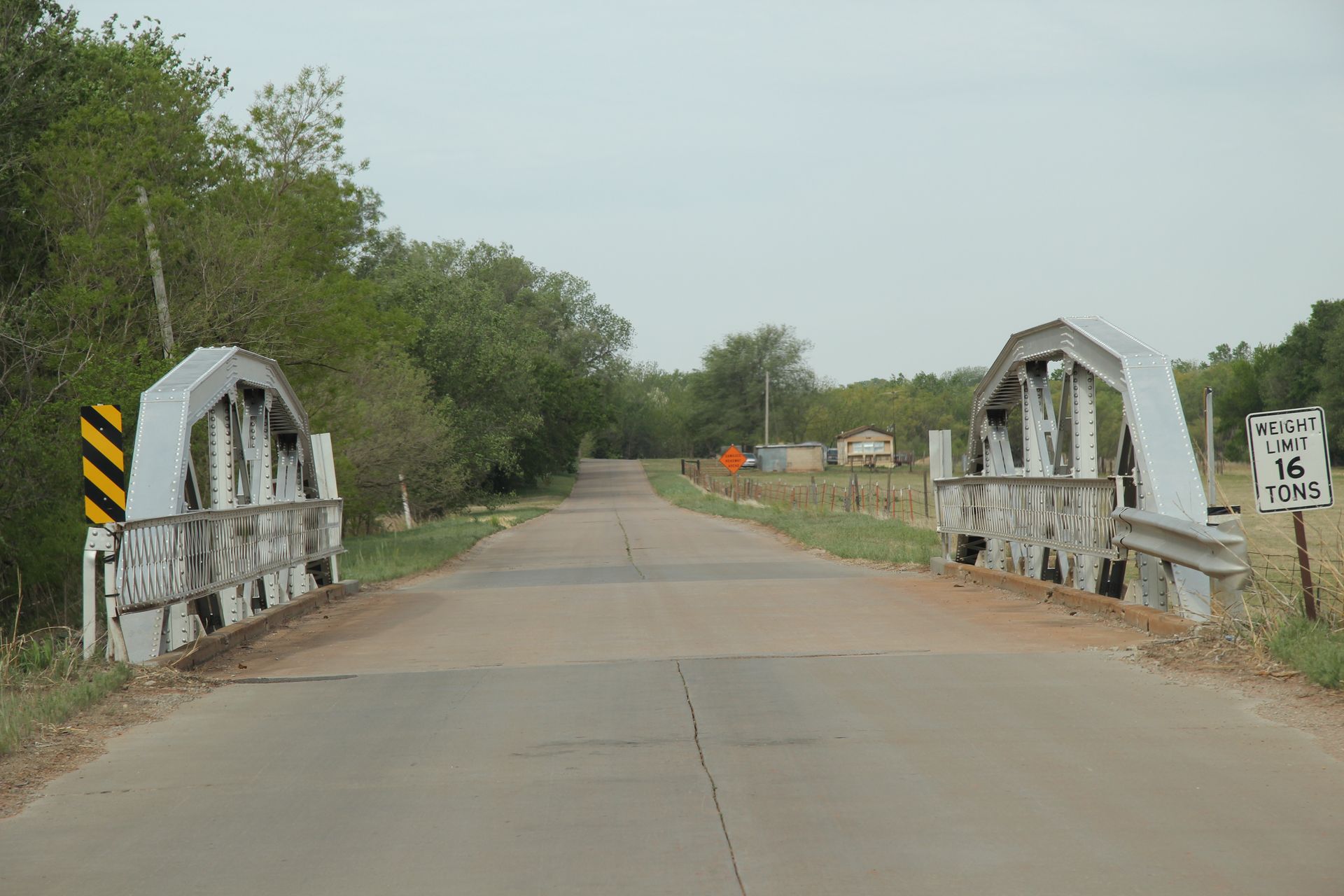
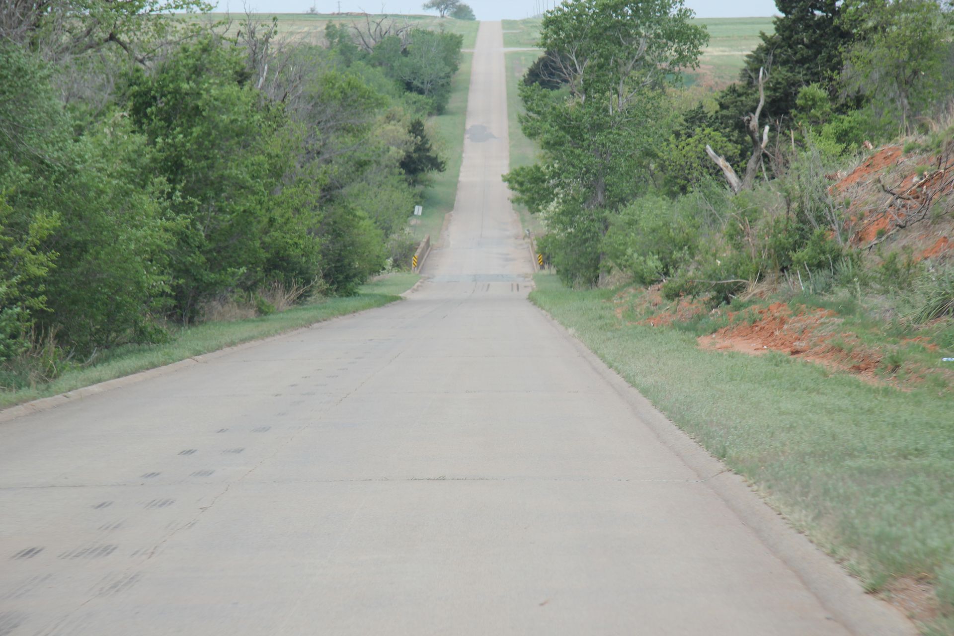
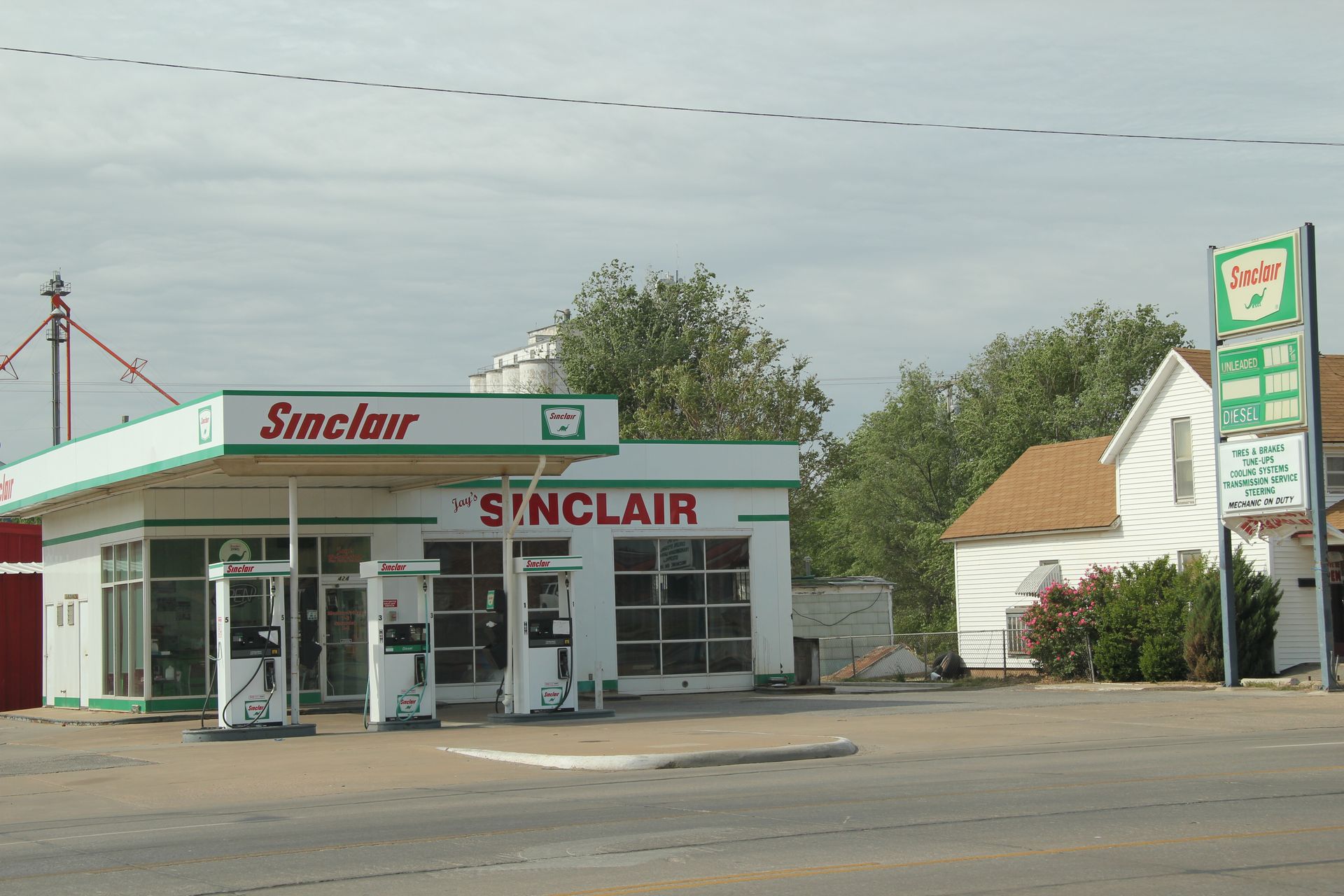
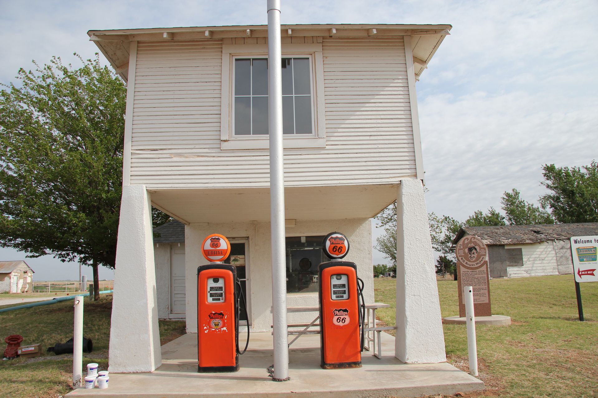
We picked up Route 66 toward Hydro, OK. This is the only concrete road left that actually has curbs on each side. We took a picture of the famous Lucille’s gas station and a Will Rogers Highway marker. We drove on to Weatherford and took a pic of an old Sinclair station. We seemed to have lost Route 66 which can end at any time and then restart a few miles down the road.
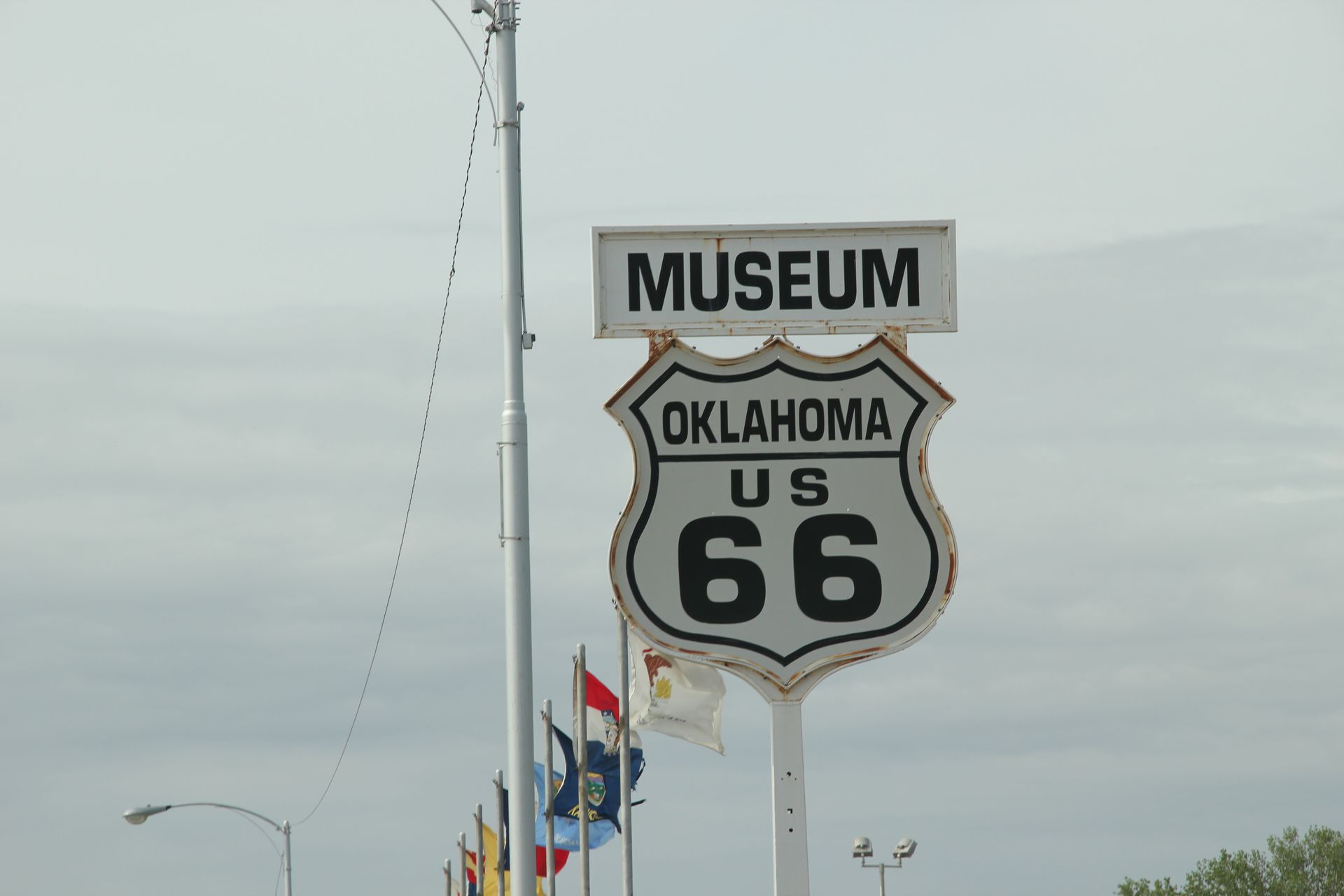
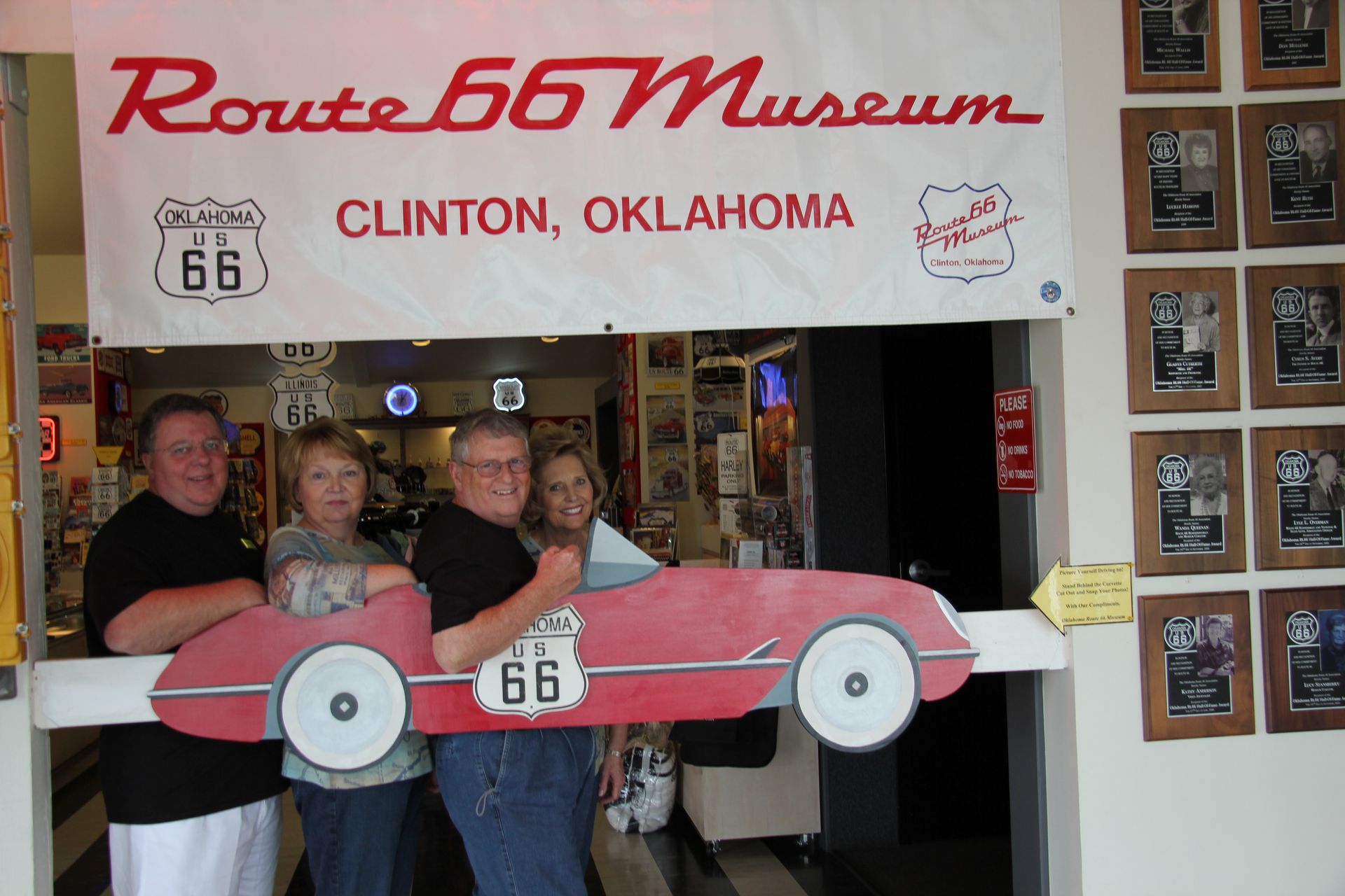
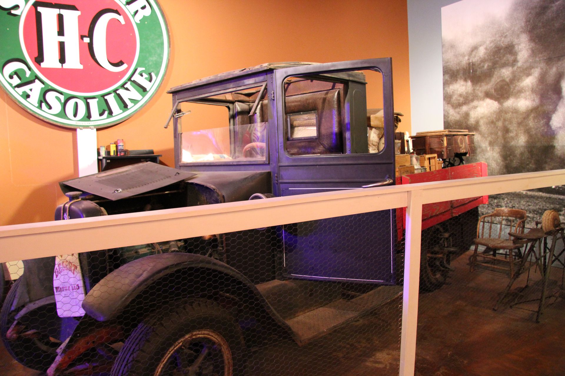
We took I-40 and took the exit to Clinton and visited the Route 66 Museum plus it had a room for each decade from 1920 to 1960. It was cool to see the truck from Grapes of Wrath in 1930′s room, the diners from 1950 and an old VW psychedelic bus from the 60′s. They had 8 track tape players, the old speakers you hung on your window at drive-ins and the trays from Bob’s Big Boy that hung on your window.
We bought some souvenirs and drove on to Elk City and had lunch at Braums before visiting the National Route 66 Museum. It was larger than Clinton and focused on Route 66 as well as transportation and had a farm machinery museum.
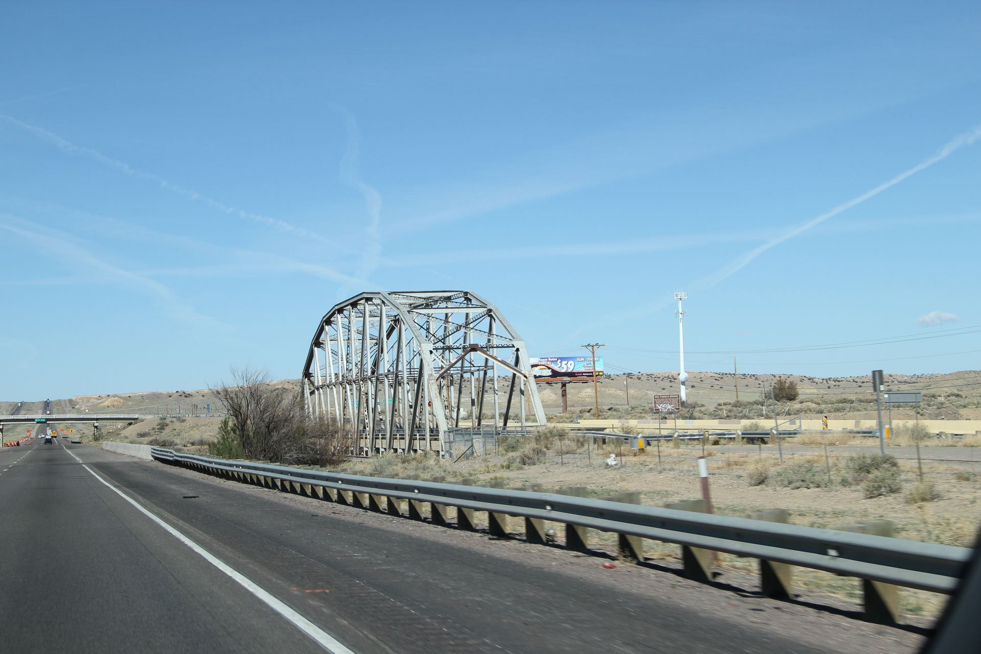
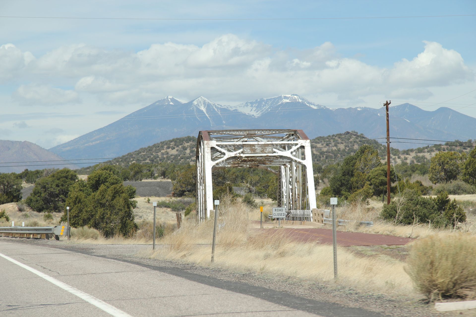
By the way, we got a crack in the windshield of van from a rock thrown by semi. We’ll see if we can get that fixed in Albuquerque. Still a 100 miles from Amarillo and Gwen feeling worse, we rushed on to Amarillo.
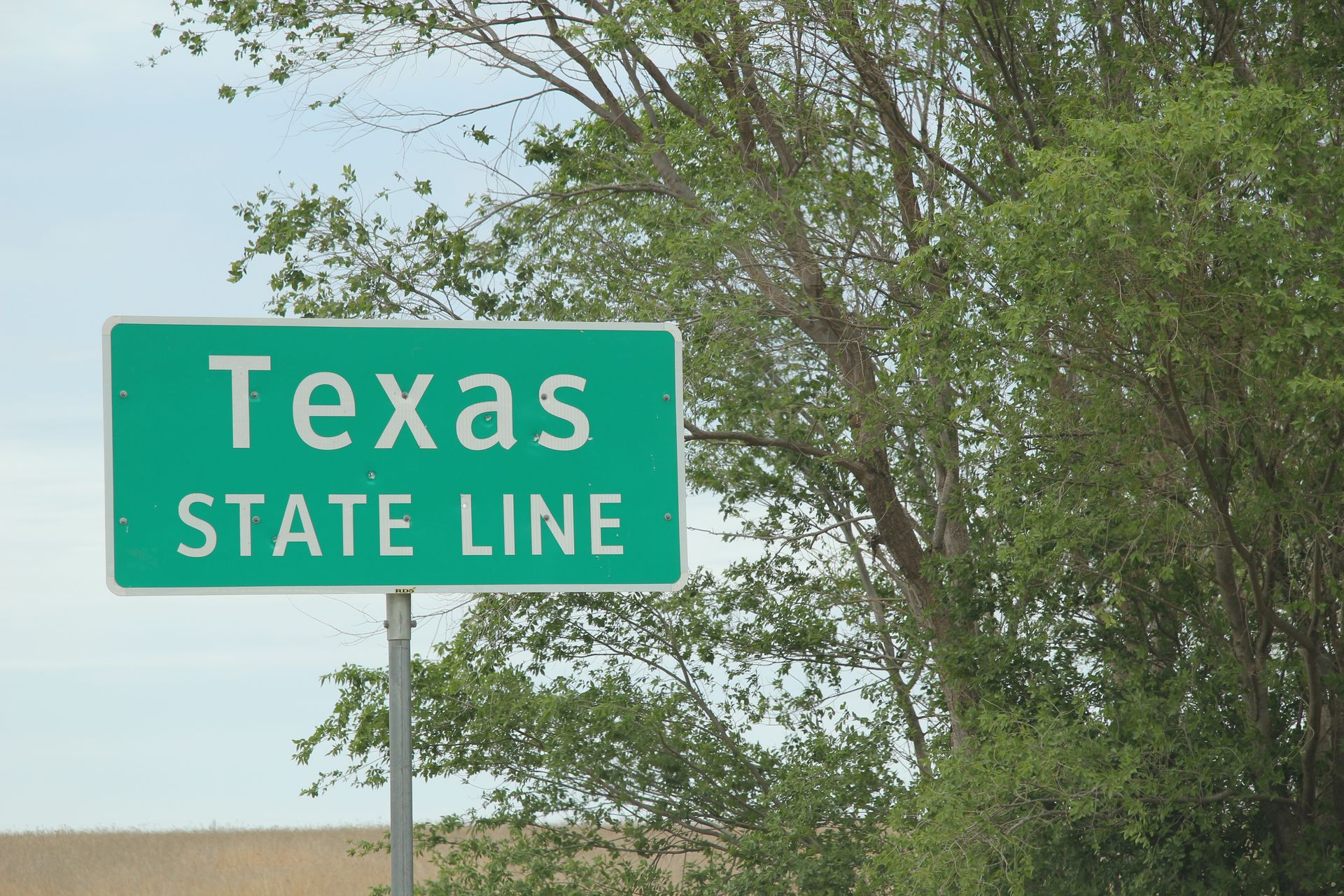
We did stop in Texola (ghost town) and the Texas border, drove through Shamrock to see U-Drop Inn (looks like Ramon’s in movie Cars), took a pic of the Phillips 66 station in McLean. There were many other old abandoned and run down building that we just called “remnants caused by I-40″ but not enough time to stop for each. We stopped at the first Texas rest area that overlooked the XIT ranch, a mere 3 million acres. They have them big in Texas.
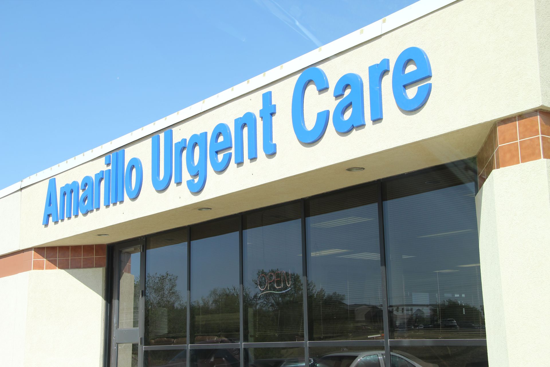
We got to Amarillo around 5:00,
took Gwen to the Urgent Care and got some antibiotics and cough syrup for
her. She has a bad sinus infection but has been a trooper keeping up with
the schedule. I think we made her go because WE were tired of the blowing
and coughing and her laryngitis. We checked
into hotel and had dinner at hotel – too tired to go out.
Amarillo, TX to Albuquerque, NM
- Day 4 - Thu, Apr 21, 2011
- Google Map - 292 miles
- Links
- Along the way
- Route 66 - New Mexico
- Route 66 - New Mexico - Road Wanderer*
- B. Historic District - Glenrio, TX/NM
- C. Route 66 Monument - Tucumcari
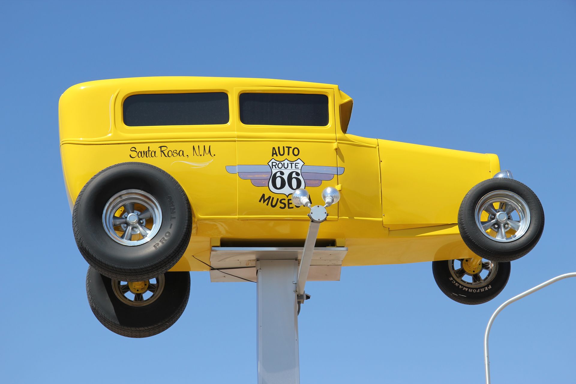
- D. Route 66 Auto Museum - Santa Rosa, NM
- Albuquerque
- Route 66 - Albuquerque - PDF
- Dinner in Old Town - Albuquerque, NM
- Fairfield Inn - University
- Residence Inn Albuquerque*
- National Parks
We had breakfast at 7:00 am, loaded the car and left Amarillo around 8:00 am. I-40 under repairs – we have seen our share of orange cones since leaving Tennessee.
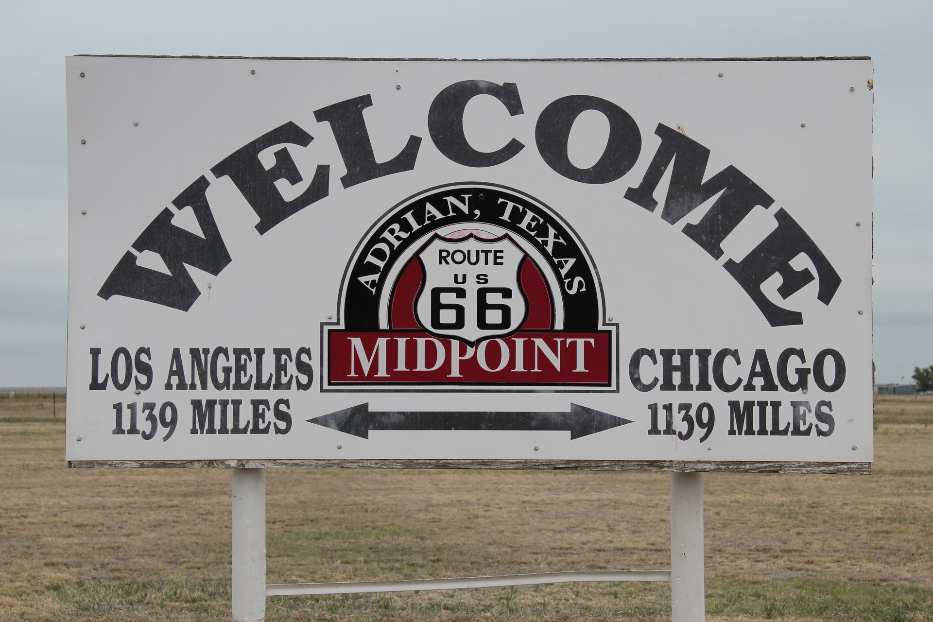
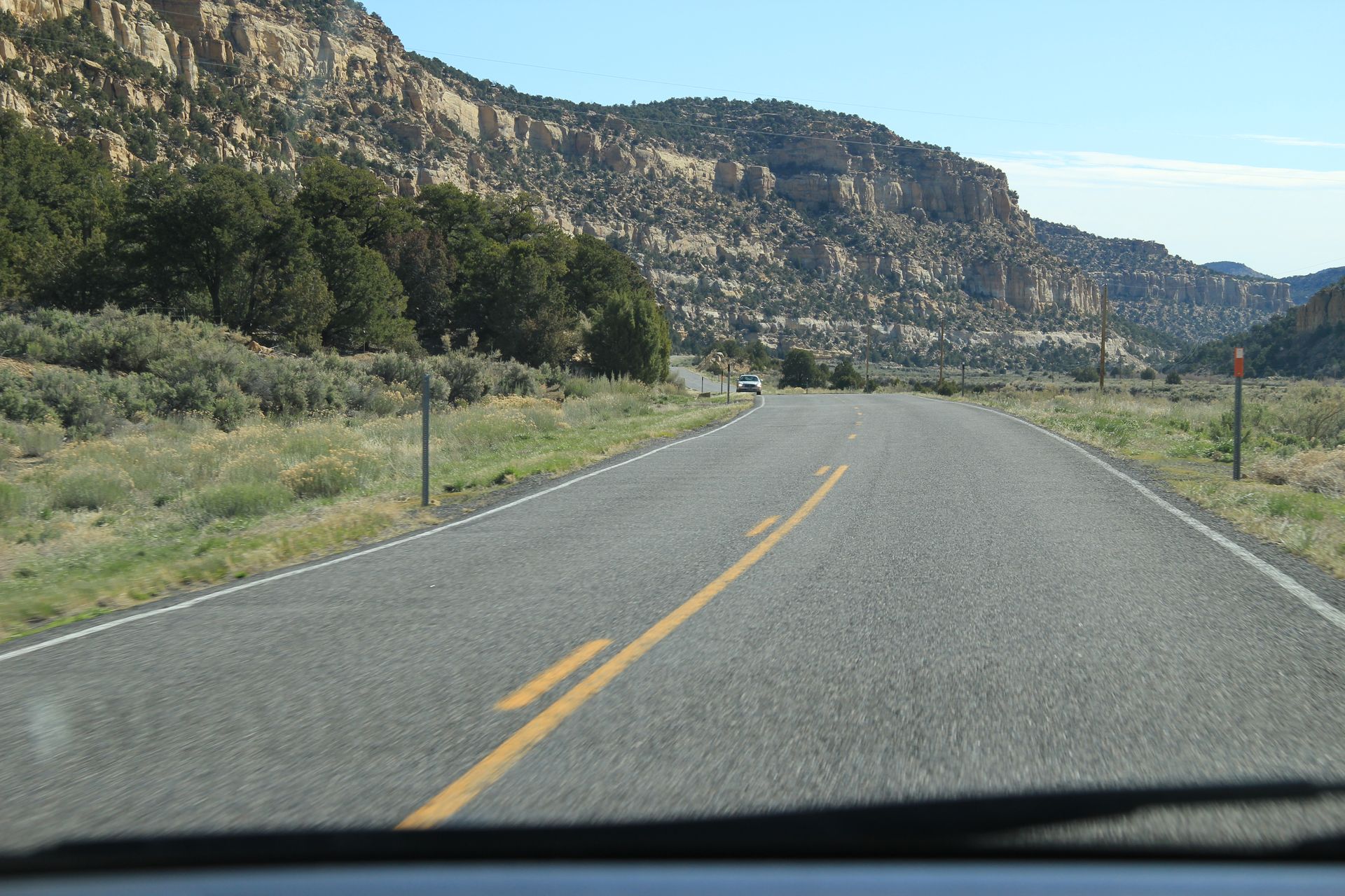
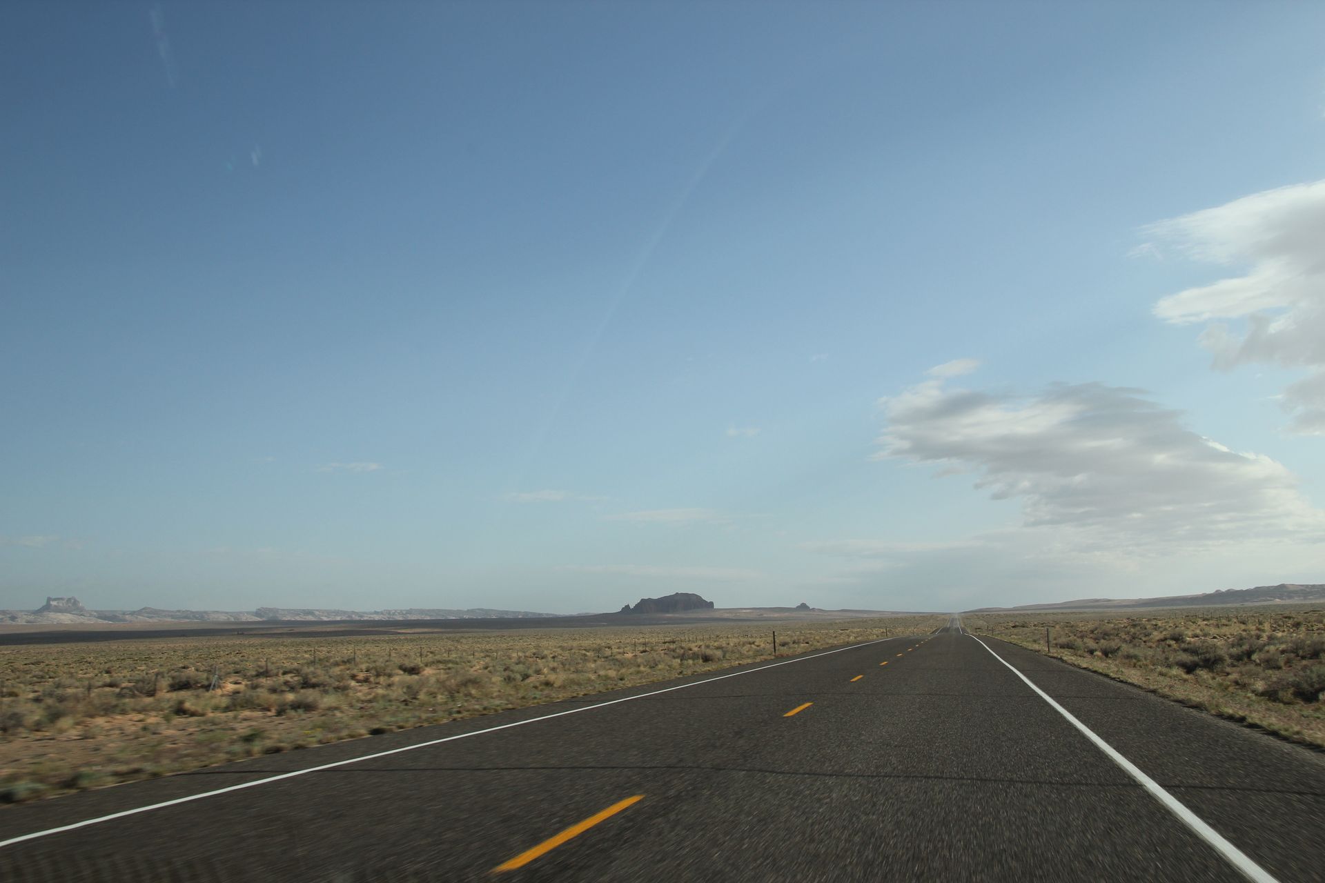
Our first stop was in Vega looking for the midpoint of Route 66 between Chicago and Los Angeles. We could not find it – dispute actually puts the midpoint in Adrian – 1,139 miles to Chicago and 1,139 miles to Los Angeles – so we headed there for the official marker. We found the marker, took the normal tourist pics and jumped back on I-40. Most of Route 66 in this area is gone except for dirt road on parallel to I-40. You can drive for miles on I-40 and just see scrub bush, some brown grass and dirt. It is always windy and we found ourselves requiring a lot of eye drops to flush dust out when we stop.
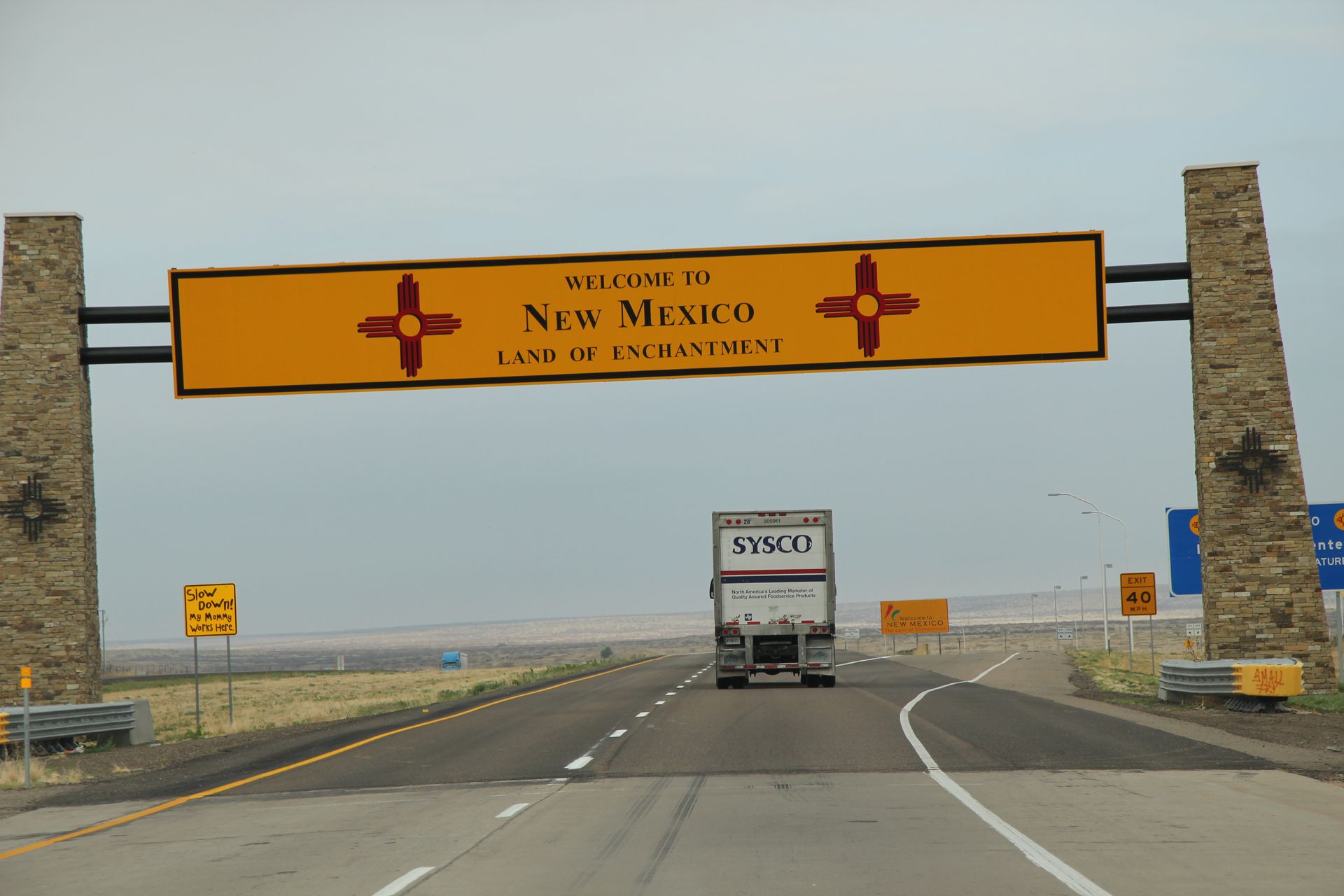
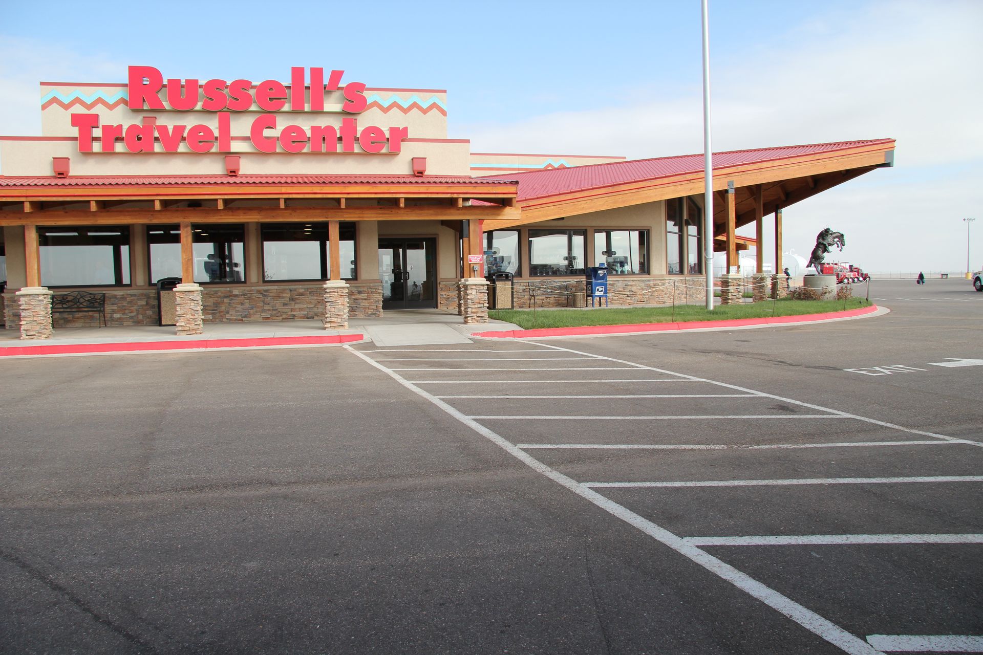
We crossed into New Mexico (speed limit 75 mph – woohoo) and stopped at Russell’s Travel Center in Endee, NM. We were pleasantly surprised how new and clean the travel center was and all the collectibles Mr Russell has collected, to include 100′s of tractor/trailer toy trucks. He had an auto museum he designed himself, with large TV screens on the wall showing commercials that matched the model year of the cars. All the cars been restored to mint condition and the museum was free. You could make donations if you wanted and that money went to feed the hungry. It is worth the stop if you are ever on I-40 in New Mexico.
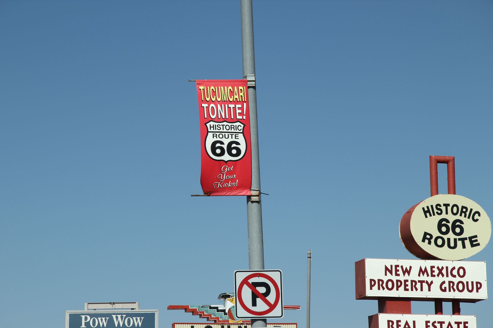
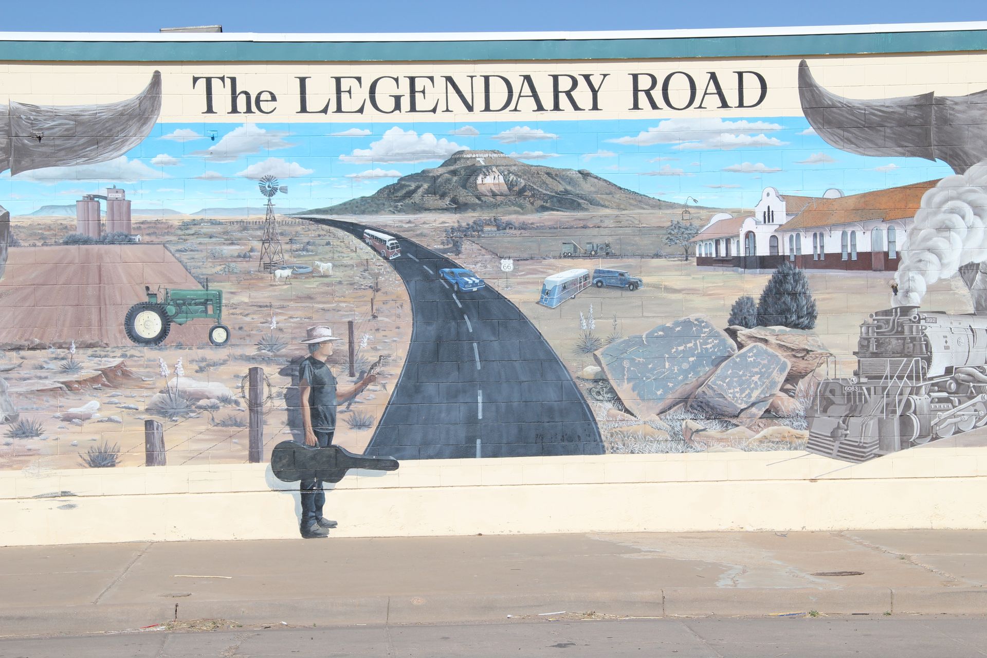
We left Endee and drove to Tucumcari and took some pics of murals and some of the hotels that have closed. The slogan Tucumcari Tonight came from Route 66 motel row and all the places one could stay at night when Route 66 was the main throughfare.
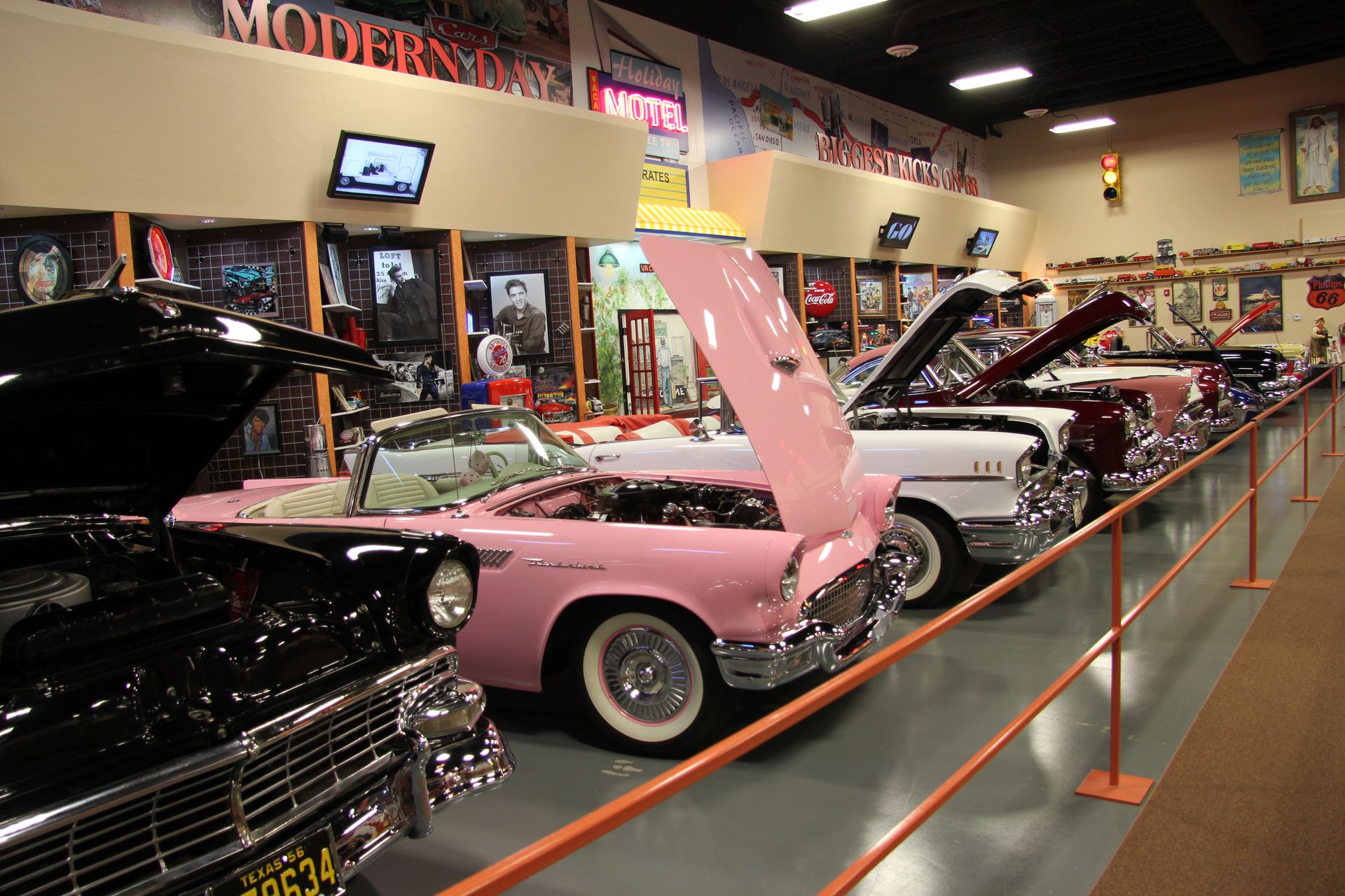
We headed on to Santa Rosa, NM and stopped in at the auto museum there. There were about 30 cars there, some hot rods and some customed muscle cars. We moved back onto I-40 – this has got to be the straightest (is that a word?) road I have ever been on and miles and miles of empty land. We stopped for lunch at a Conoco station DQ (woohoo) and drove on to Albuquerque. We arrived at 1:30 and checked into hotel.
David and I then drove over to Safelite and got the windshield crack fixed. After a short nap we walked around Old Town Albuquerque and, of course, picked up a t-shirt. We drove north on I-25 and had dinner at Texas Land and Cattle restaurant…back at the hotel to upload photos and update the blog. Be sure to click on photos below to see full pic.
Albuquerque, NM to Holbrook, AZ
- Day 5, Fri, Apr 22, 2011
- Google Map - 237 miles
- Links
- Along the way
- Patsy's Arizona Links
- Rock Art - Guide to Petroglyphs
- A. Petroglyph National Monument - Albuquerque
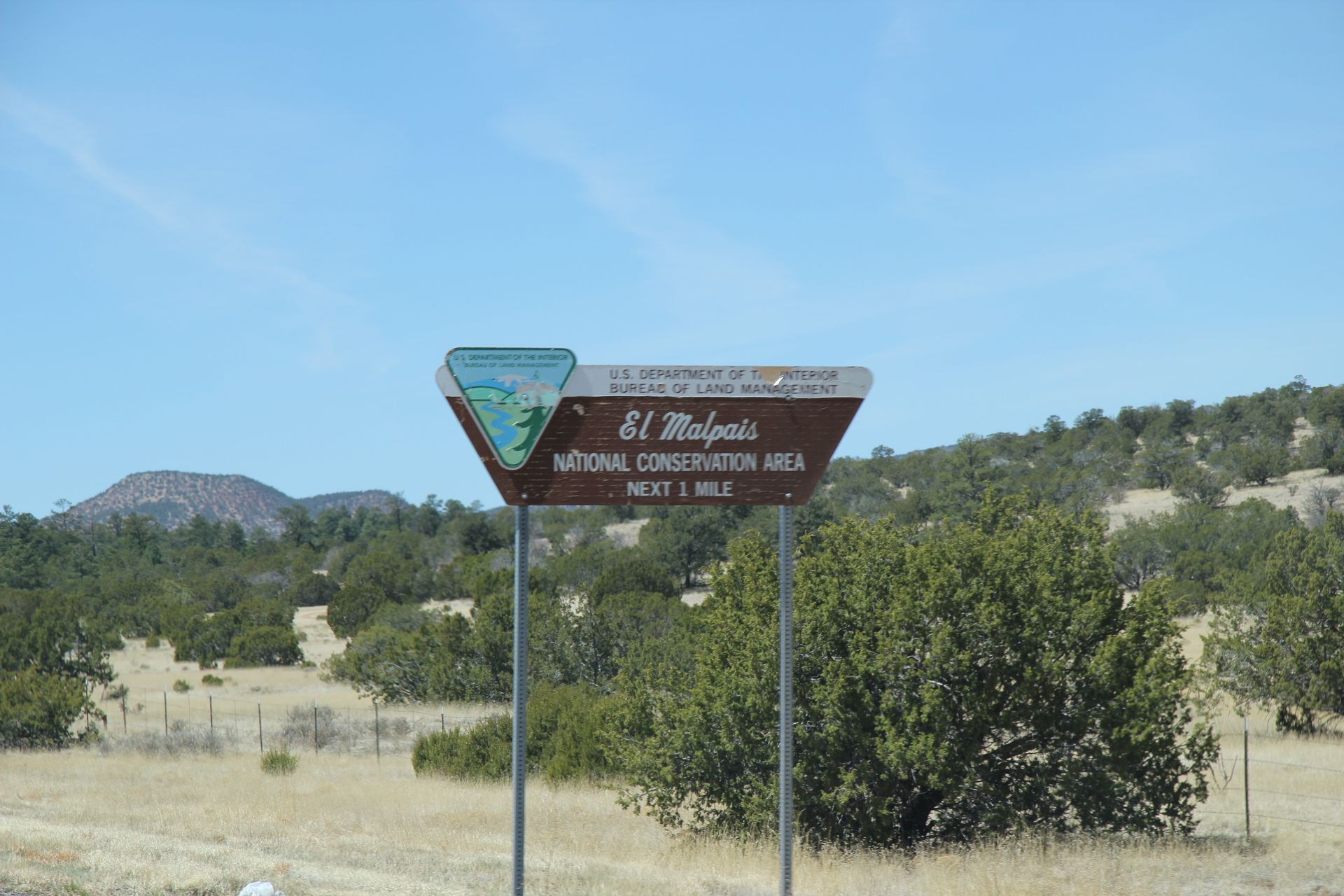
- B. El Malpais National Monument - Grants, NM
- B. El Morro National Monument - Grants, NM
- Herman's Gas Station - Thoreau, NM
- C. Ft Wingate, NM - near Gallup, NM
- C. El Rancho Hotel - Gallup, NM
- D. Painted Cliffs - near Lupton, AZ
- E. Ft Courage - Home of F Troop - Houck, AZ
- E. Querino Canyon Bridge - Houck, AZ
- F. Pics around Sanders, AZ
- G. Petrified Forest National Park - near Holbrook, AZ
- Painted Desert - part of Petrified Forest N.P.
- Painted Desert (Arizona Legends)
- Other Route 66 links in Arizona
- Route 66 New Mexico - Road Wanderer*
- Route 66 Arizona - Road Wanderer*
- Route 66 Arizona
- Route 66 - Arizona
- Places to see in Arizona
- Route 66 Pics in Arizona
- Vintage Postcards of Route 66 in Arizona
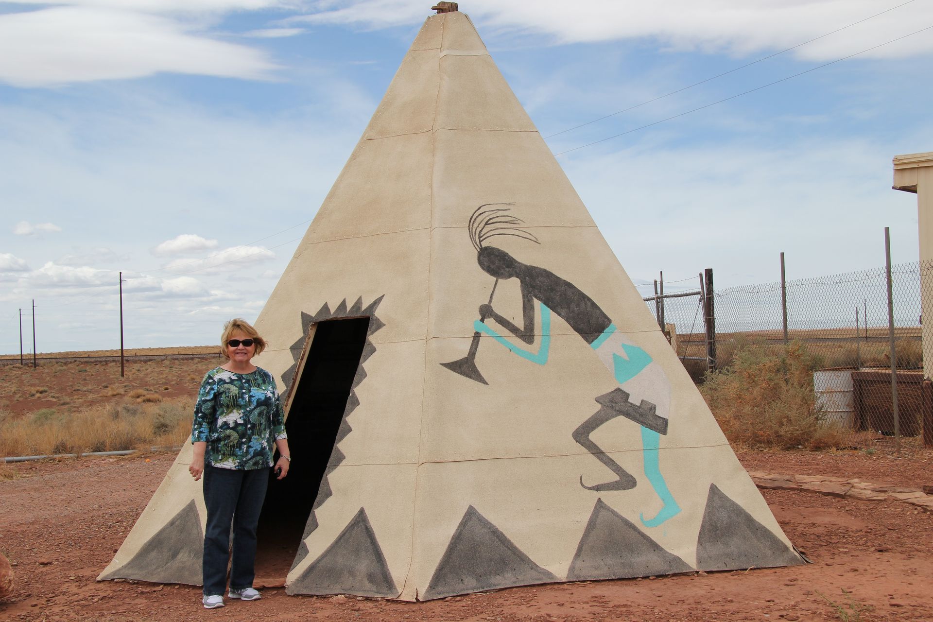
- Holbrook
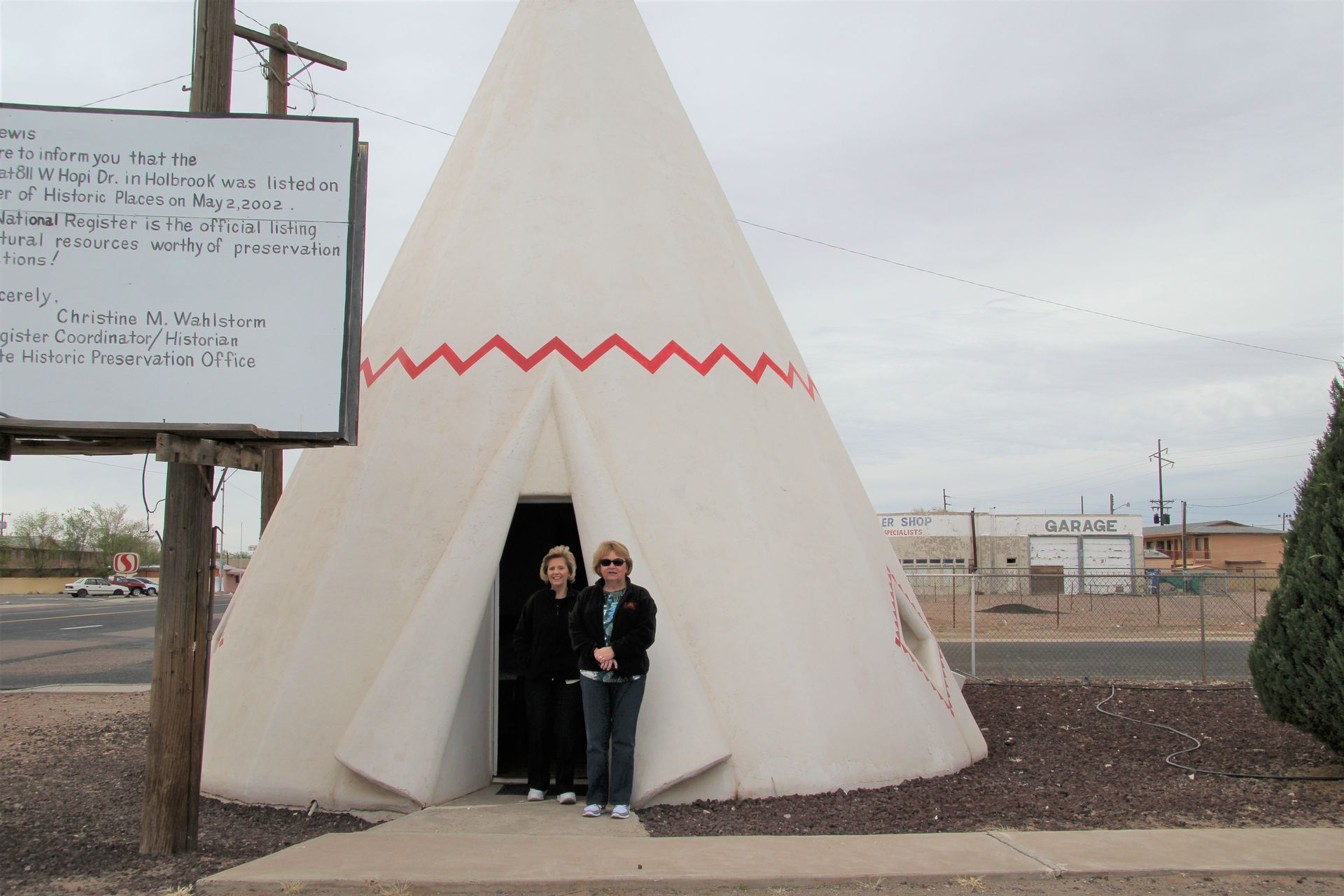
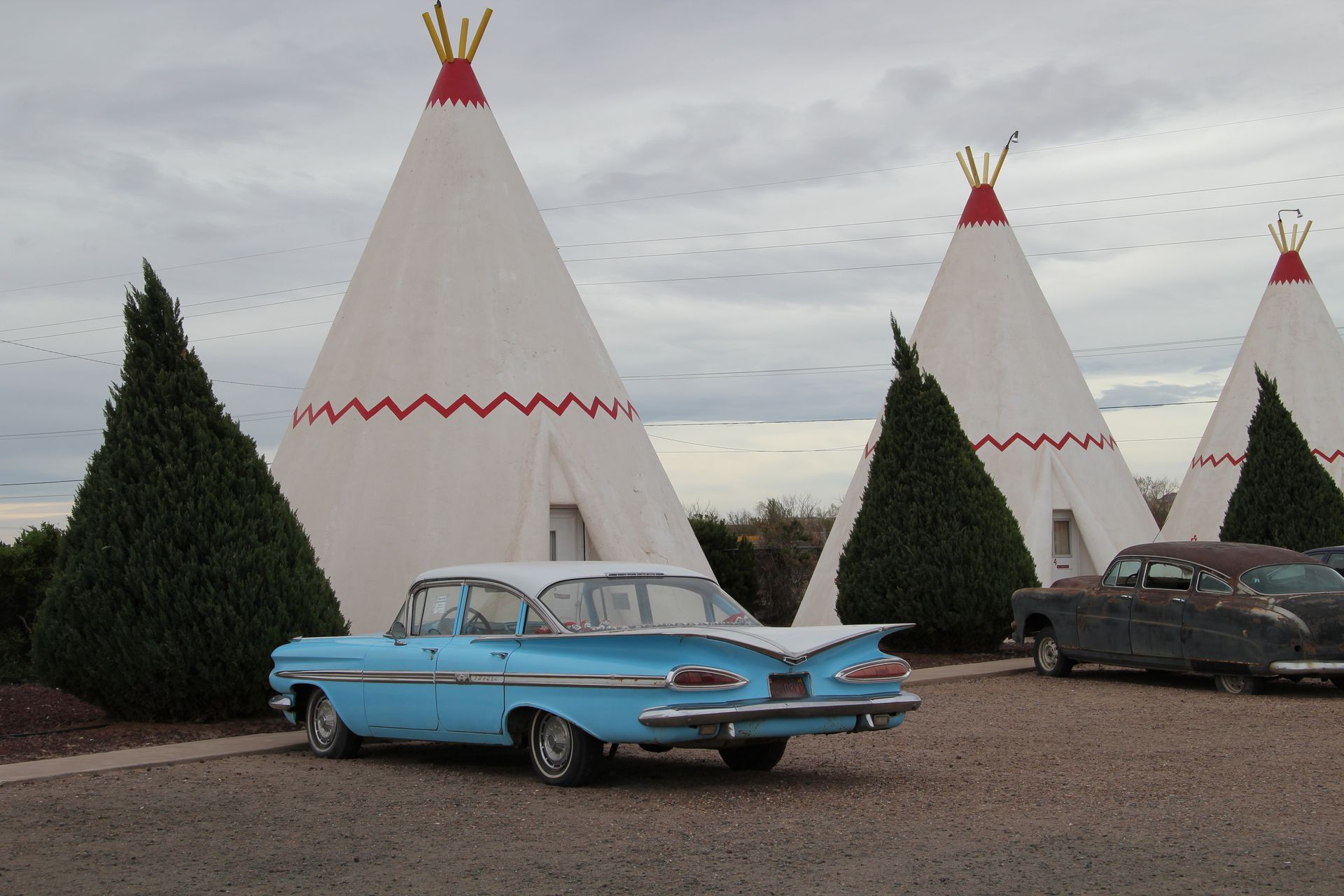
- Wigwam Village - Holbrook, AZ
- Wigwam Motel - Holbrook, AZ
- Holbrook, AZ
- City of Holbrook, AZ
- Navajo, AZ - North of Holbrook
- Stay in Holbrook - check AAA
- TravelLodge Holbrook
- Best West Arizonian
- Holiday Inn Express*
- National Parks
- Petroglyph N.M.
- El Malpais National Monument - Grants, NM
- El Morro National Monument - Grants, NM
- Petrified Forest National Park - near Holbrook, AZ
- Painted Desert - part of Petrified Forest N.P.
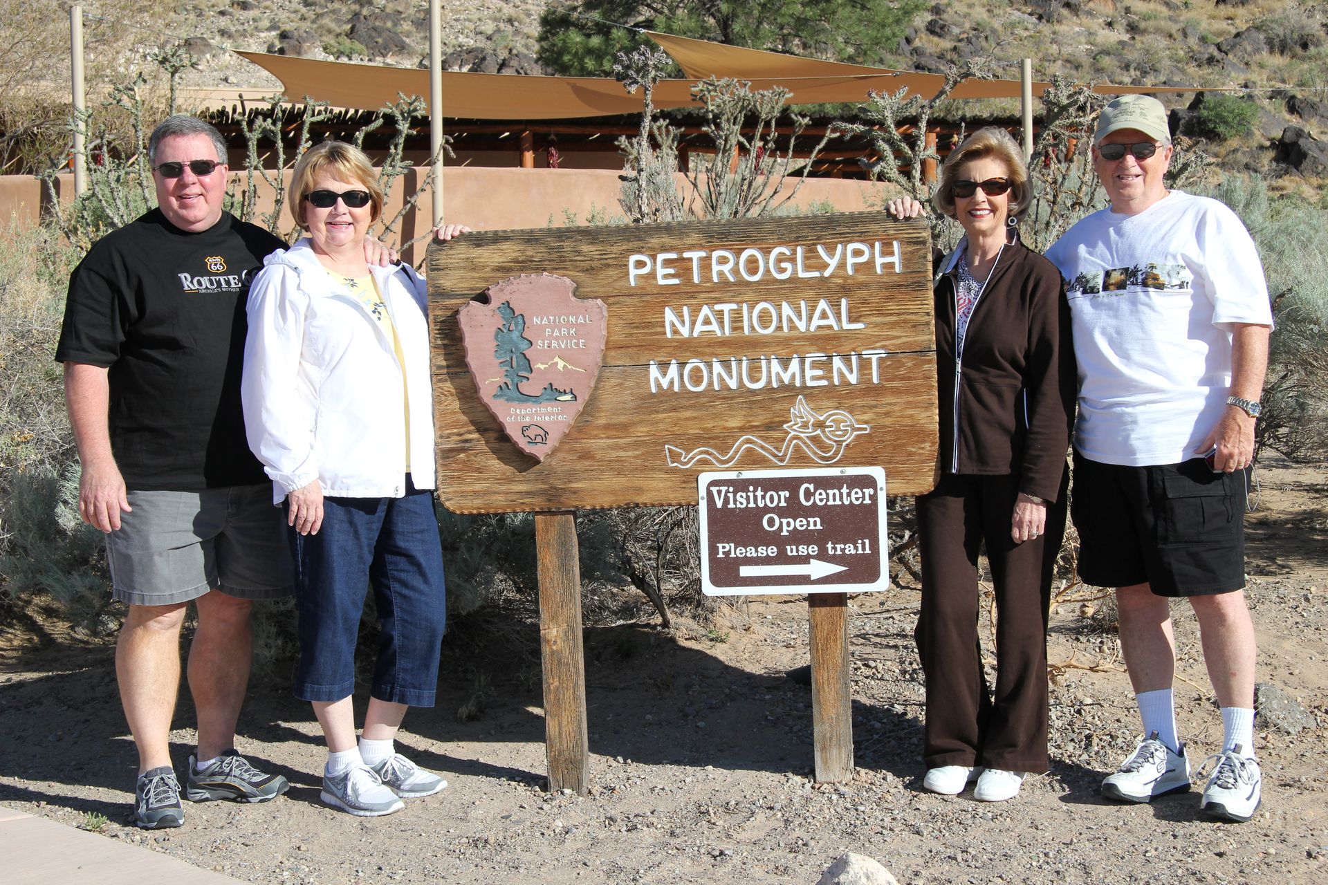
We had breakfast at hotel, packed up and headed out of Albuquerque on
I-40. Our first stop was in Petroglyph National Monument.
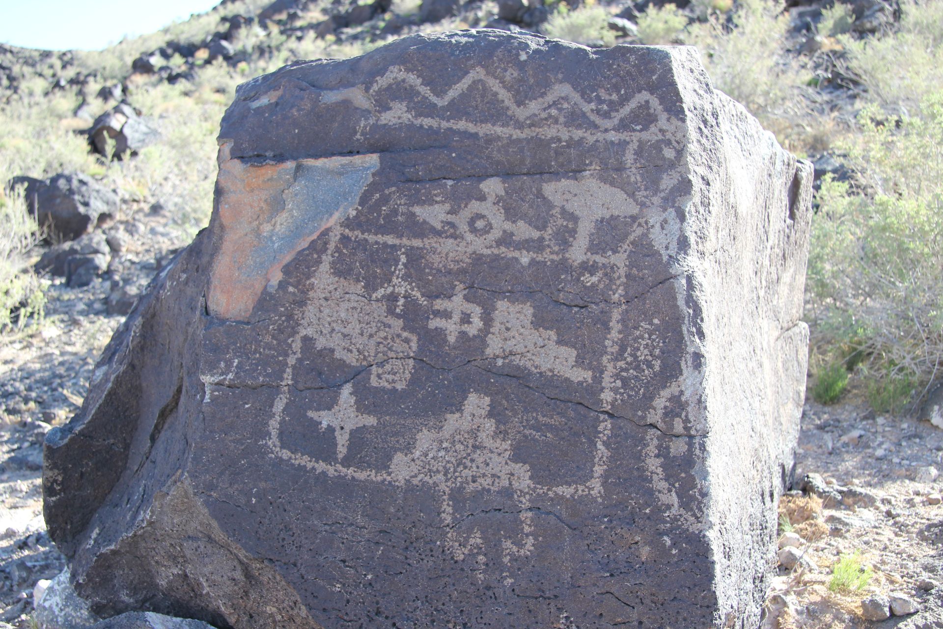
The petroglyphs are Puebloan art on chunks of volcanic rock. Many
of the images are images of animals, people, brands and crosses. The
Puebloans believed the volcanoes were the place from which the spirit exited
when born and where the spirit entered when they died. The art was a way of
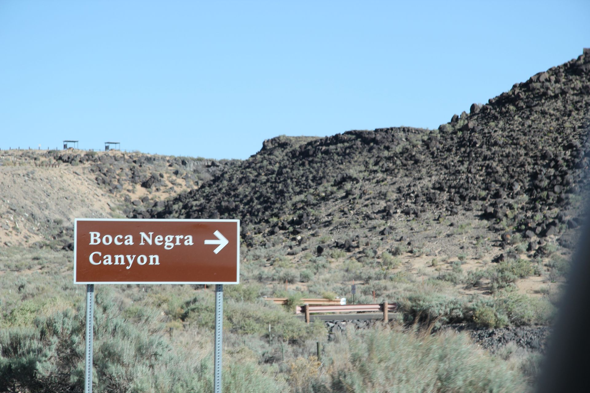
communicating with the spirit. We walked around Boca Negro Canyon and
found a few of the 20,000 petroglyphs in this area.
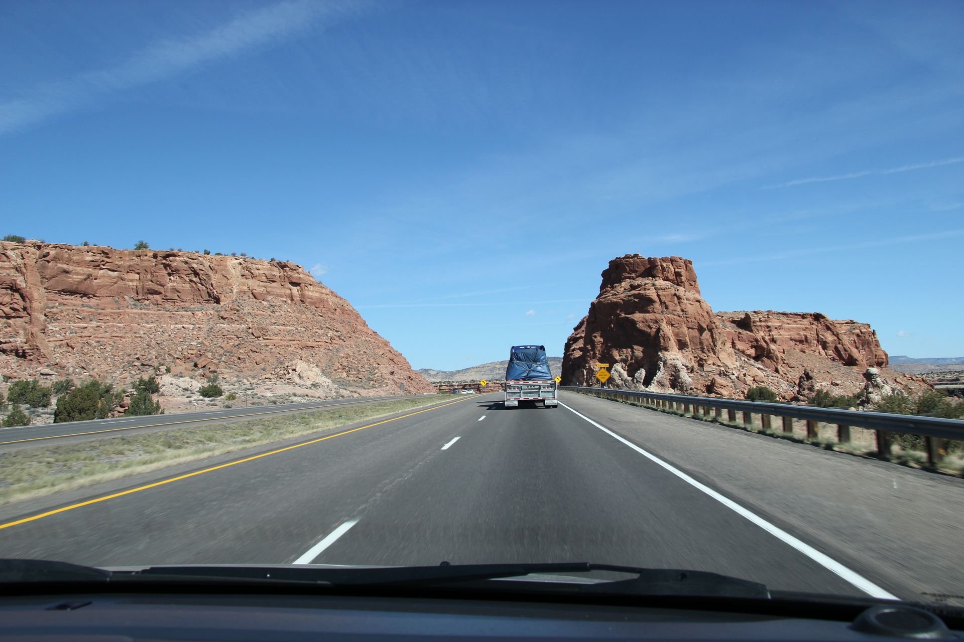
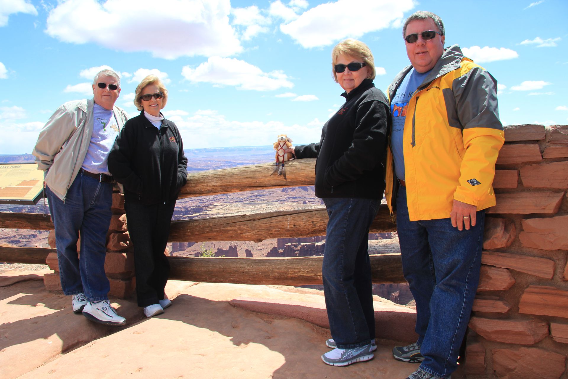
We left Petroglyph around 9:30 and headed down I-40 toward Grants, NM. The scenery now changed with the long straight roads with mesas on each side of the road. We could see part of Route 66 and some abandoned bridges from the 1930s. We crossed through a pass with a large rock formation called Fry Bread Rock. I have no idea why. We stopped at a pullout on I-40 and took some pictures of the De La Laguna mission on a nearby hill. Although no one was there to sell trinkets on the side of I-40, someone had put up several shacks that butted up against the fence to sell to anyone that stopped.
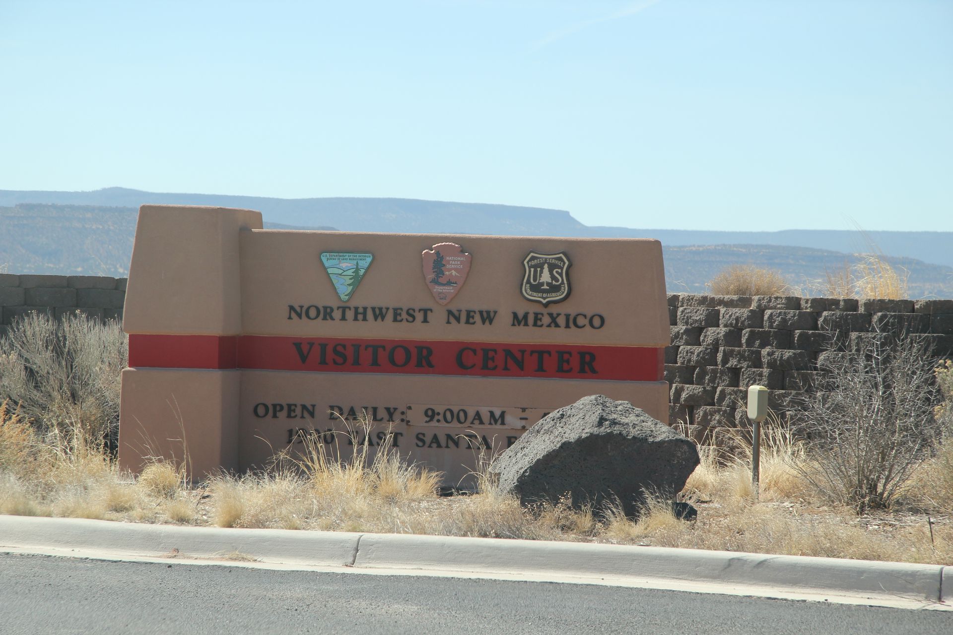
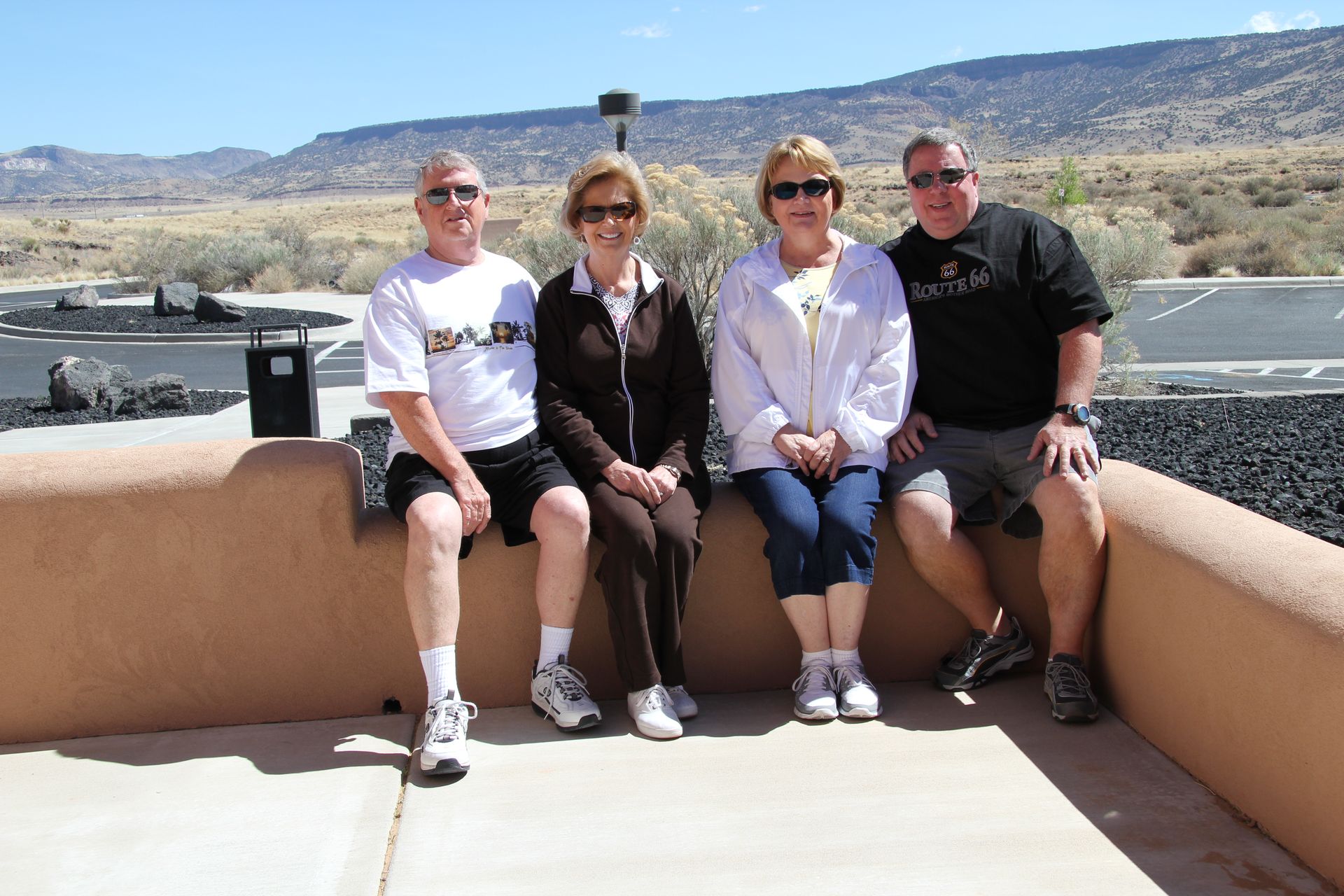
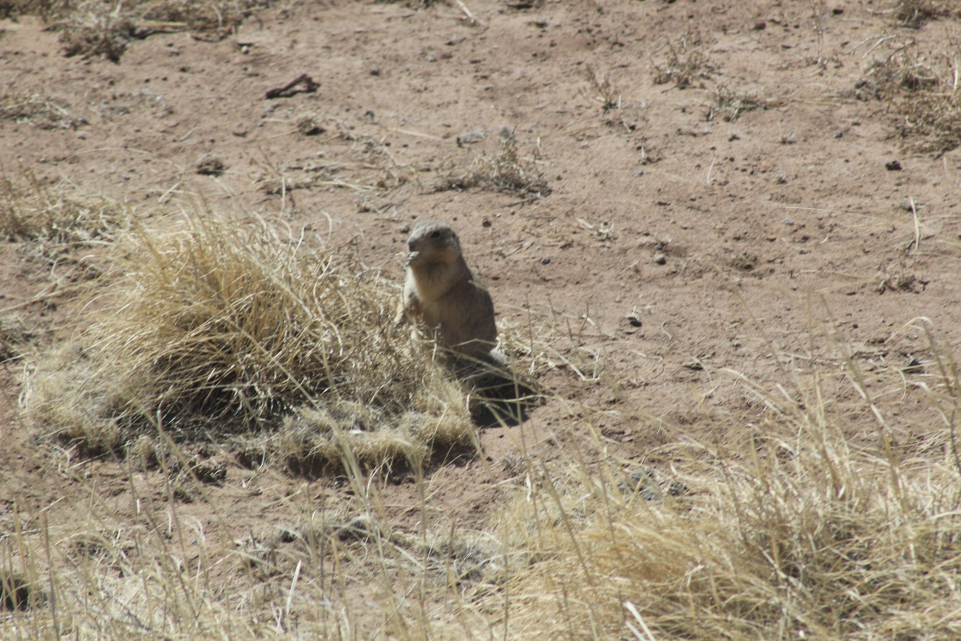
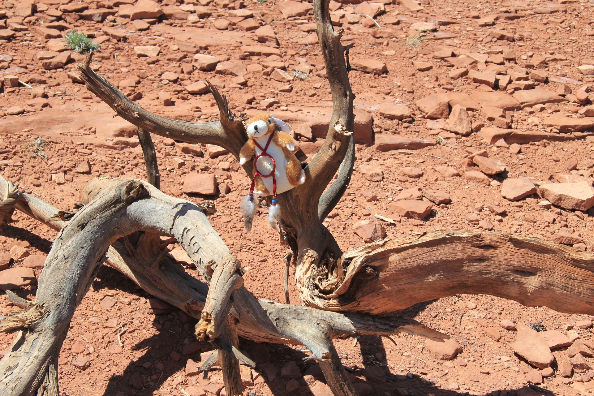
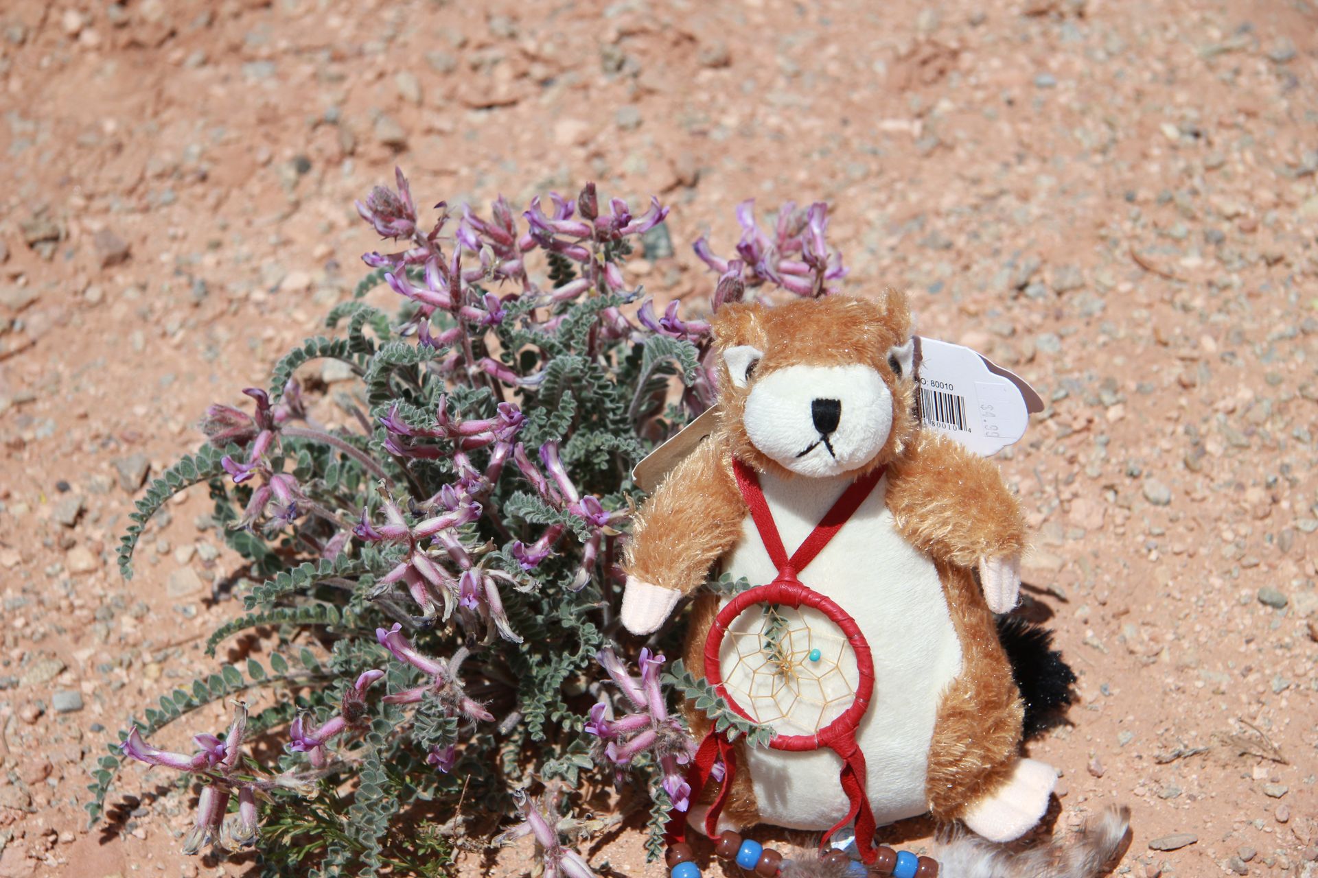
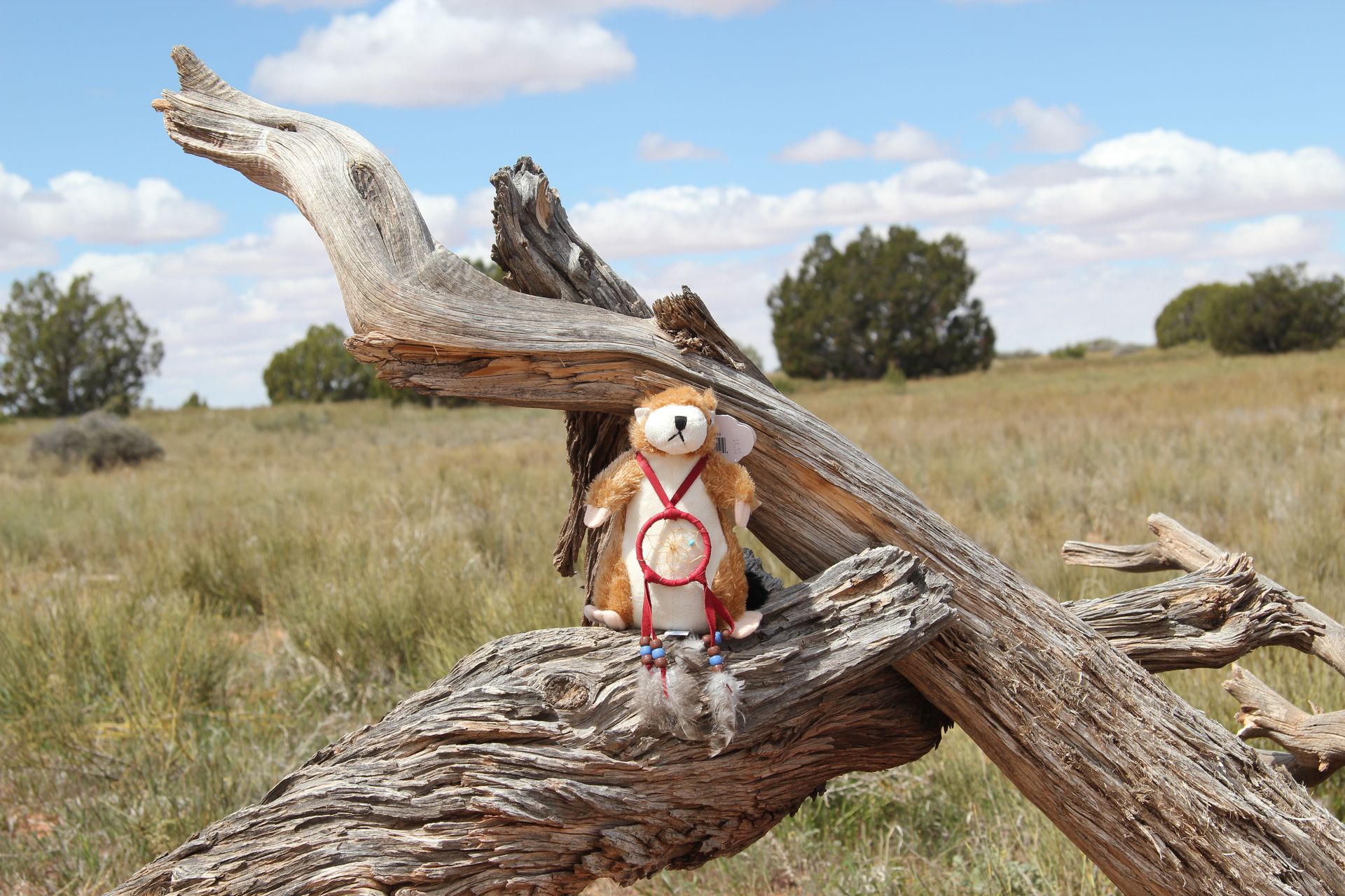
Our next stop was at the Northwest New Mexico Visitors Center. It was a beautiful facility with one side with all floor-to-ceiling windows that overlooked the desert and mesas. We found several prairie dogs that Patsy fell in love with. She had to buy a stuffed one later that day (named him Sammy). The park ranger was extremely friendly and recommended we bypass Route 66 and drive Highway 53 (byway called the The Ancient Way). The current location of 53 was the route taken between the Pueblos of Zuni and Acoma. The Cavalry and settlers followed the same trail on journeys west.
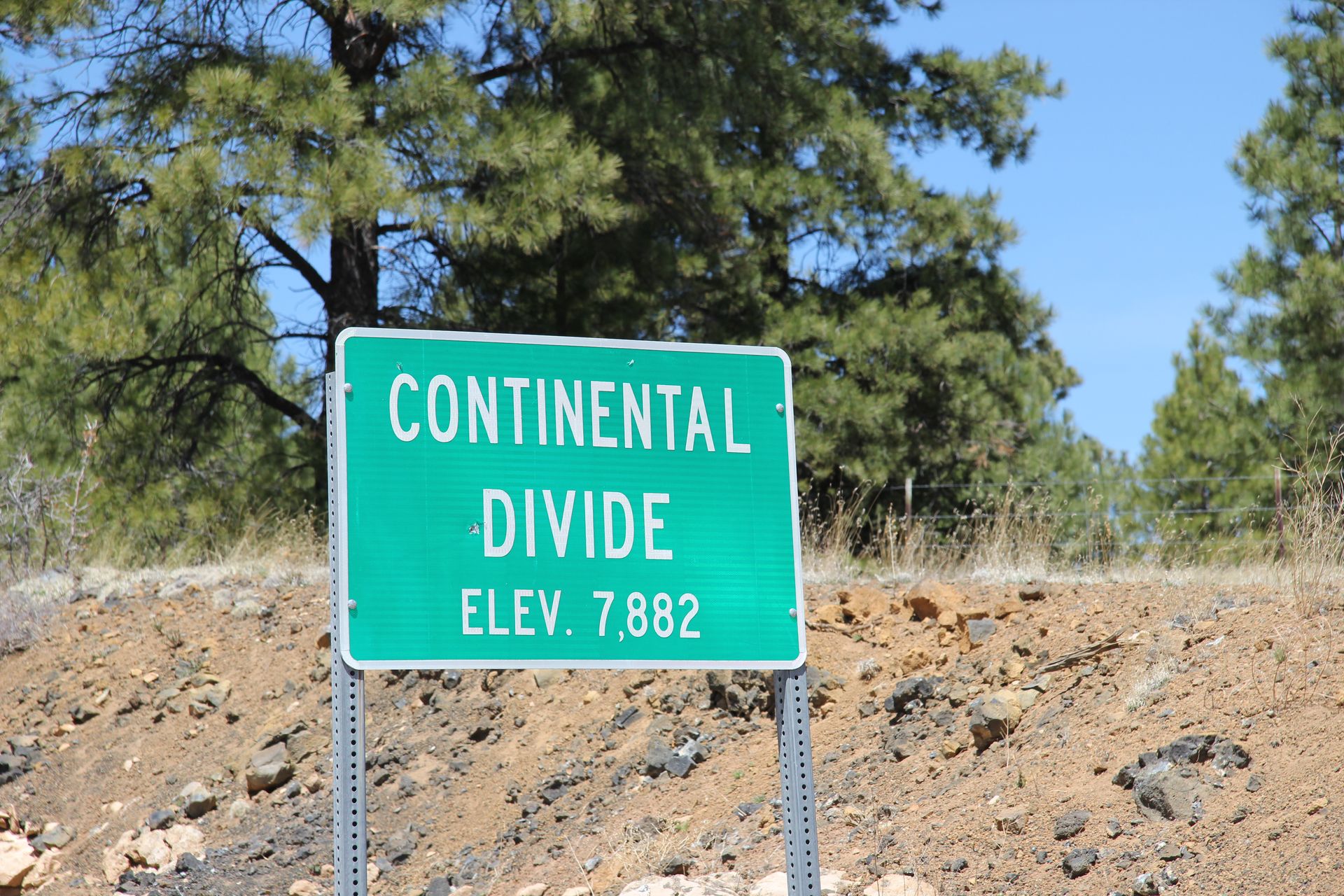
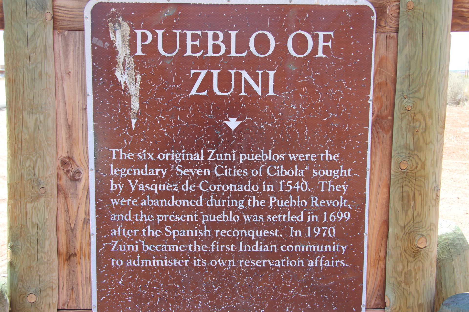
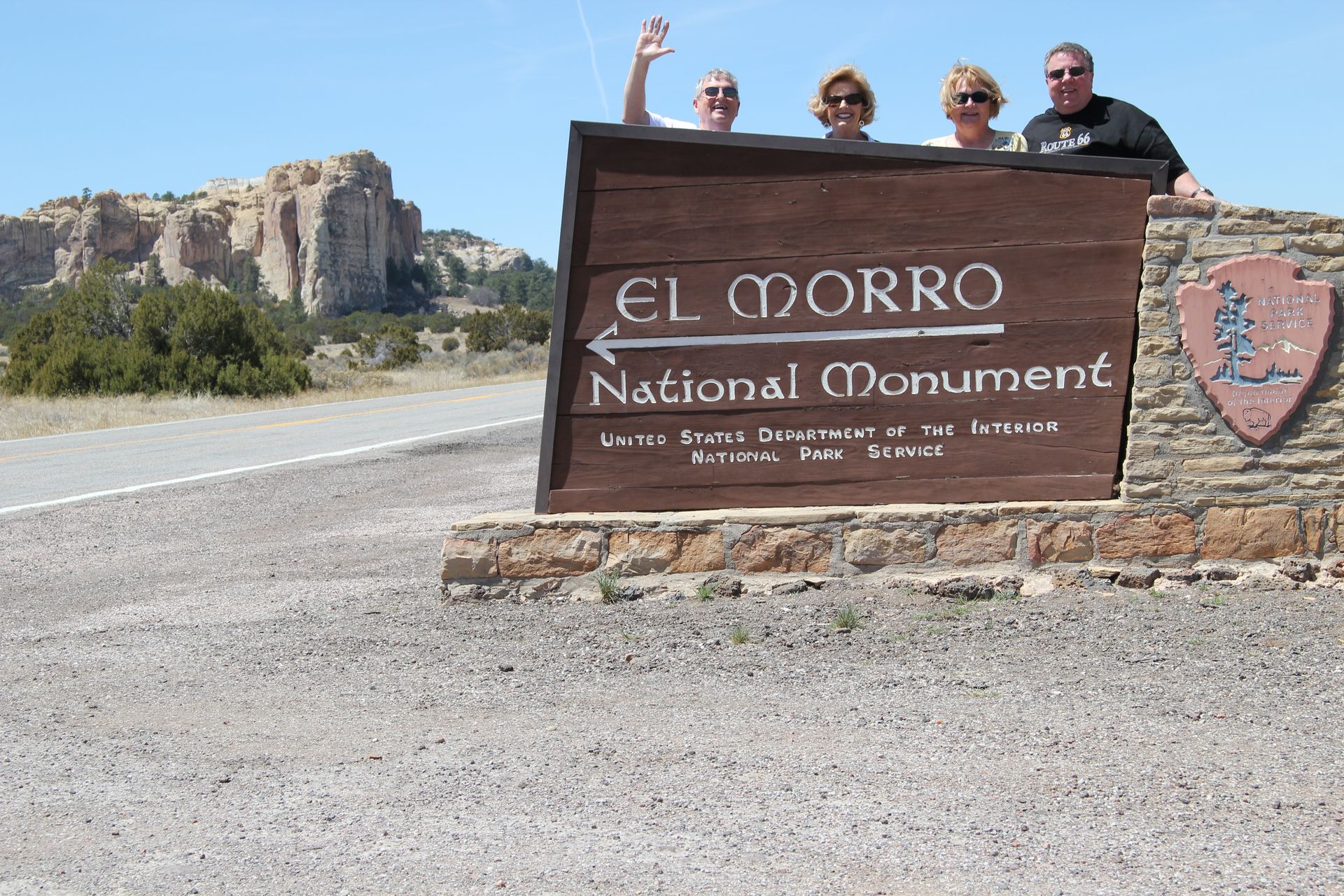
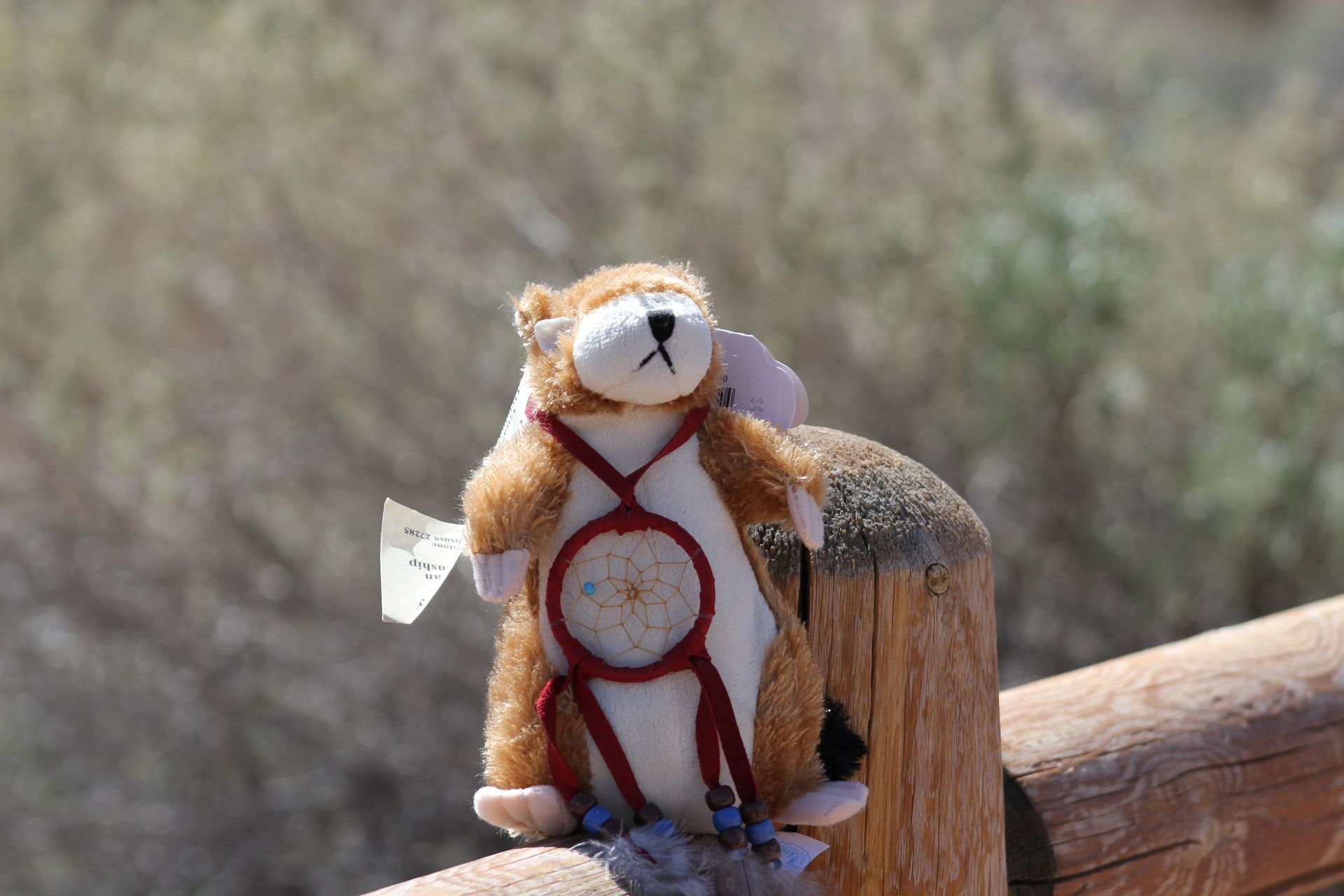
We took his advice, grabbed a quick bite in Grants and drove through town taking a few pics and then headed onto Highway 53. It was a beautiful drive with very little traffic. We drove through El Malpais, climbing to 7,000 foot elevation and drove across the Continental Divide at 7,880 feet. We then stopped at the beautiful El Morro National Monument Visitor’s Center and took several pics of El Morro. We drove on to the Pueblo of Zuni. We stopped at a small visitor’s center where some of the local Zunis were selling their handmade jewelry and wares. Patsy bought a hand painted Easter egg and I bought a miniature Zuni oven. David bought a t-shirt at the Visitor’s center. I can’t remember what Gwen bought.
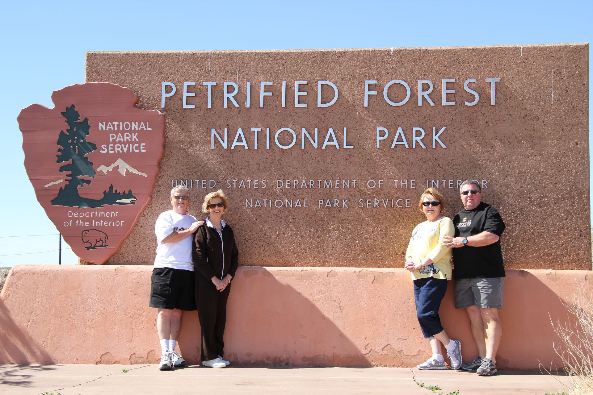
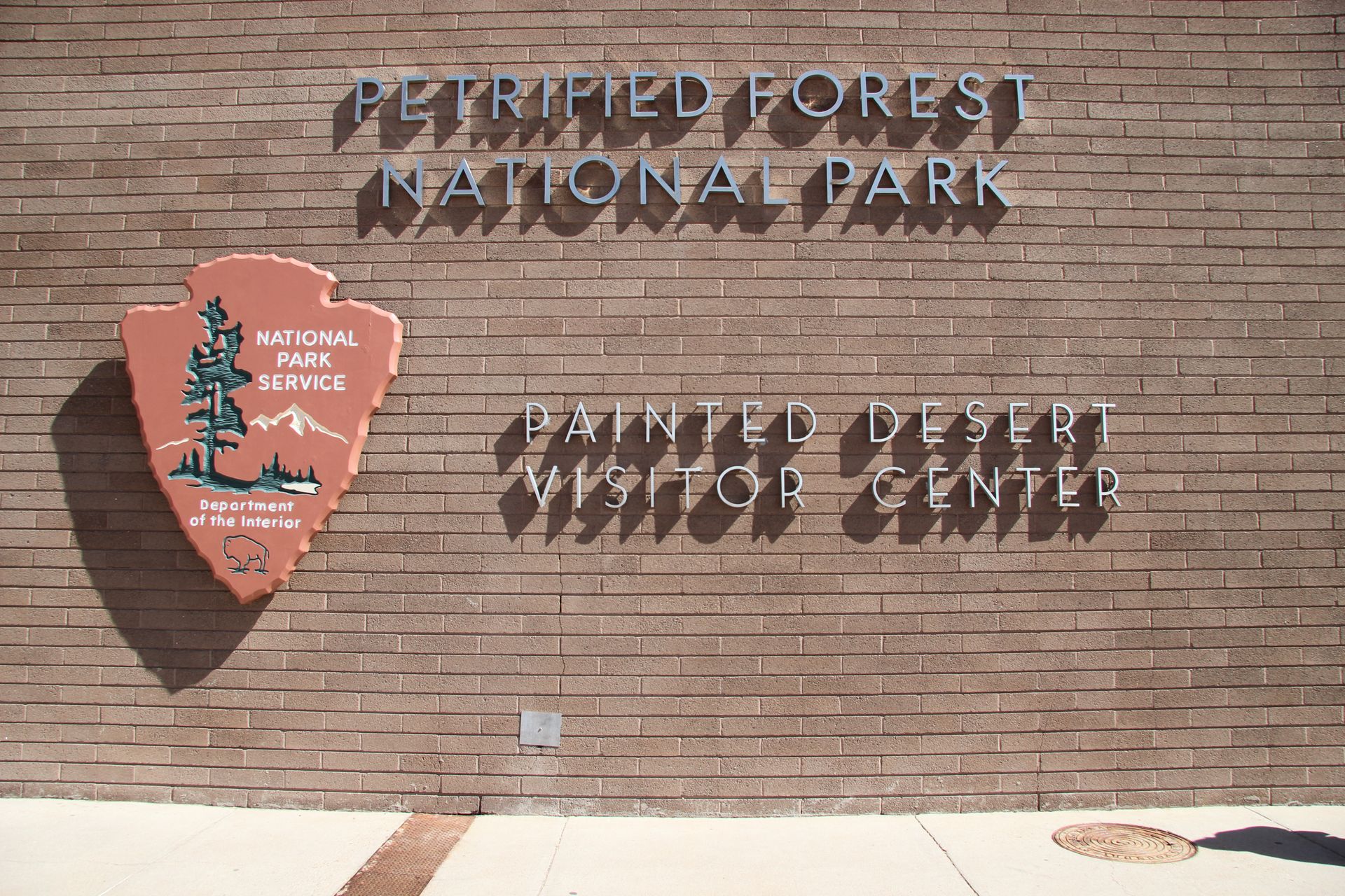
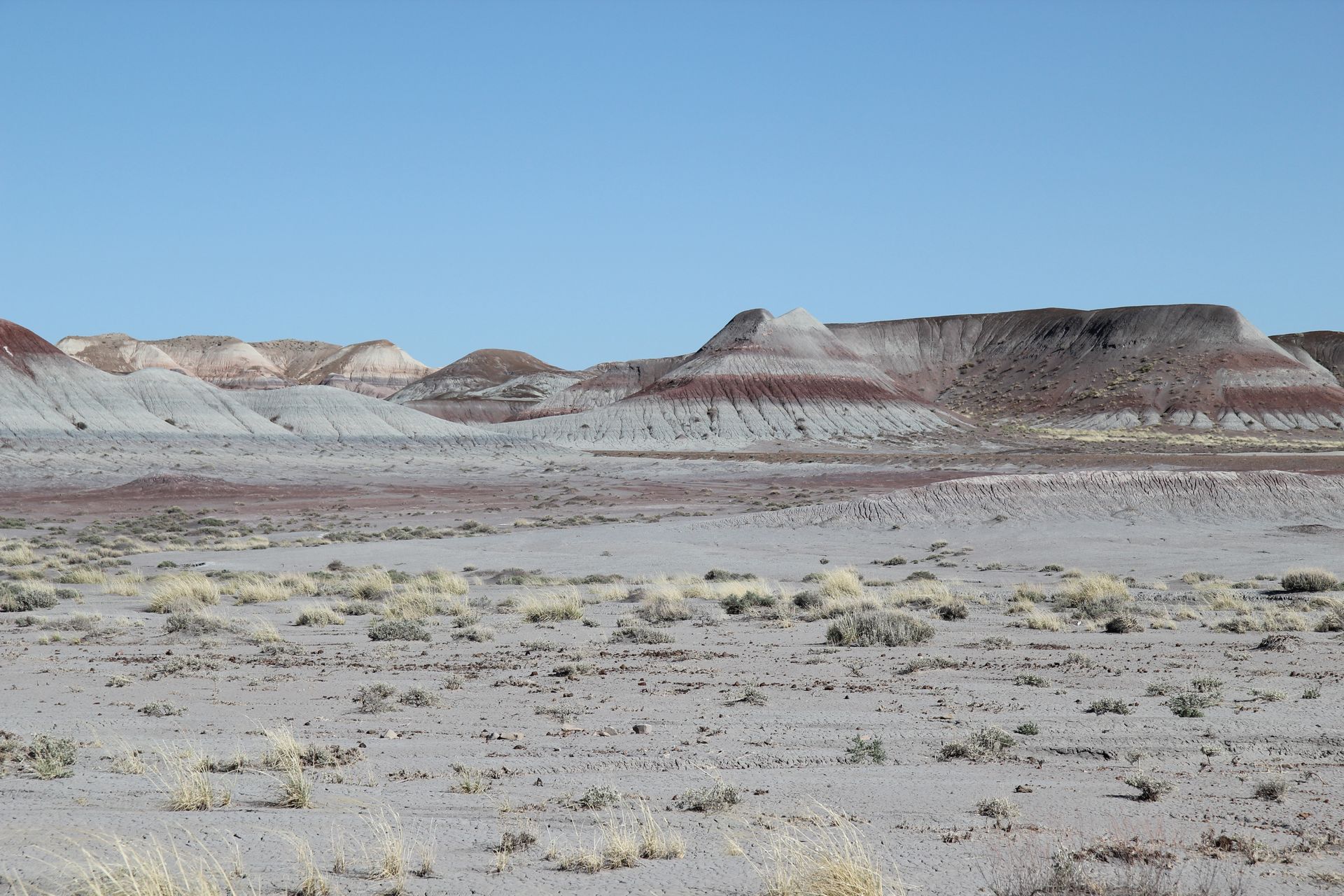
We drove on and crossed into Arizona, at which time the road changed from 53 to AZ 61. The road dead ended at Highway 180 which we took north to pick up I-40 again in Sanders, AZ. We drove to the Petrified Forest National Park and Painted Desert National Park Visitor’s Center. After watching a short video, we drove the 7 mile loop of the Painted Desert north of I-40 and then crossed over I-40 and drove the 20 miles south through the Petrified Forest. We were told several times to not remove any of the petrified trees. We felt lucky to be able to see such wonders until we drove out of the park and saw several stores selling petrified trees – I guess they are found in more places than the park.
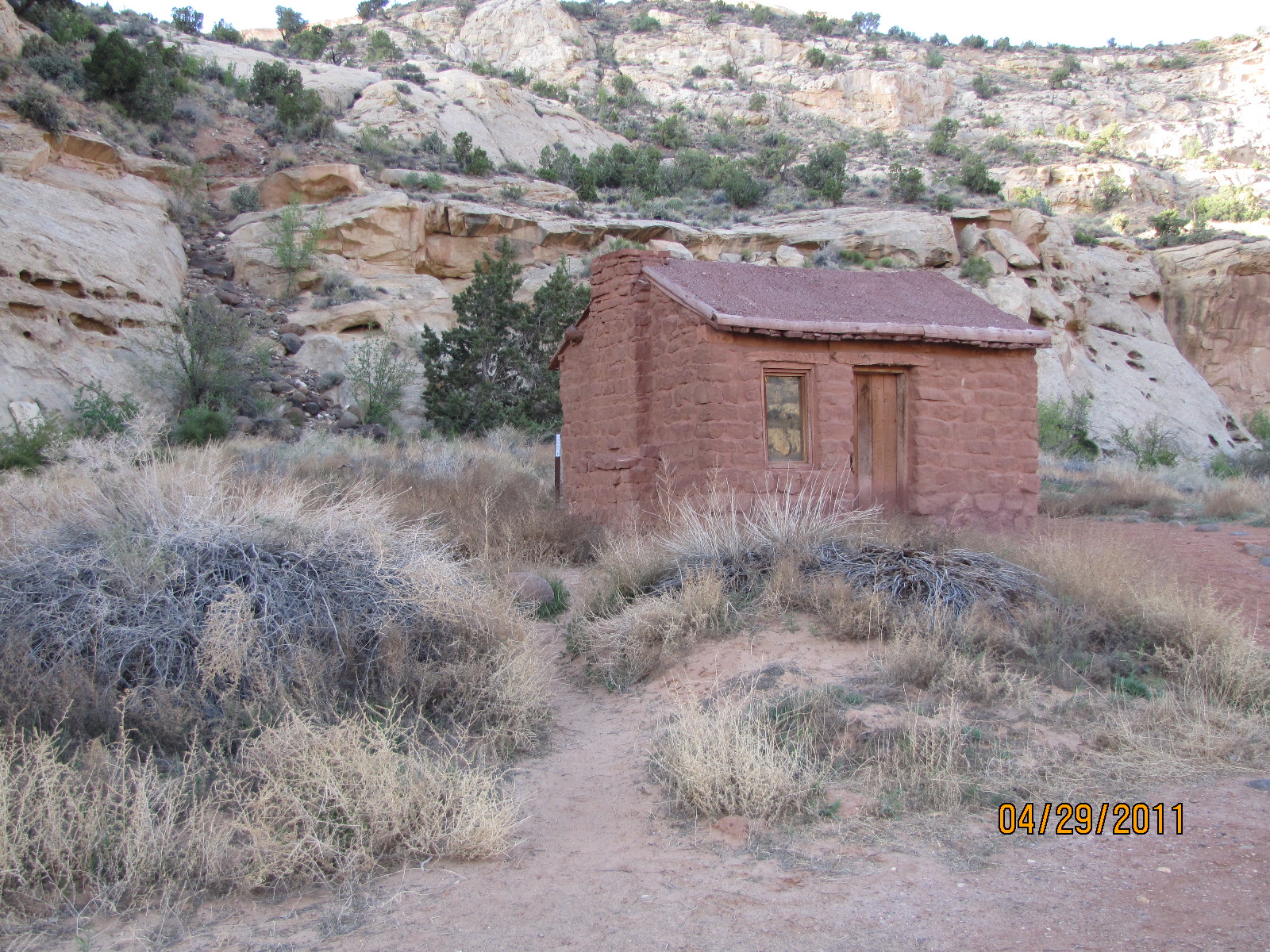
We drove 18 miles north to Holbrook, AR and found our Holiday Inn Express for the evening – no Marriott’s in Holbrook. The hotel is nice but only hotel I have seen with a second floor and no elevator. I guess they were not aware of the tons of luggage we have to unload each night. Too tired and hungry to tackle the job at the time, we went to El Rancho and had some Mexican food for dinner. We headed back to hotel – guess carrying luggage AND Mexican food was not the best idea. Whew – it was a long day – visiting 4 national parks in one day across 2 states.
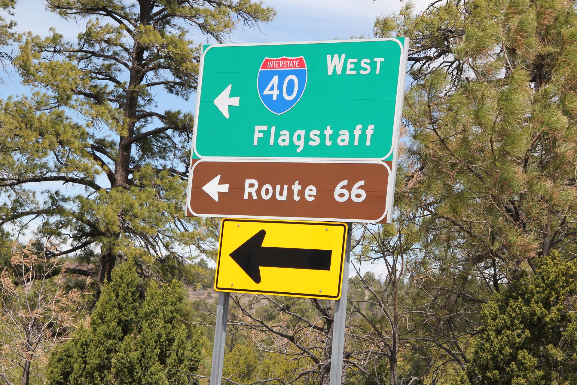
Holbrook, AZ to Flagstaff, AZ
- Day 6, Sat, Apr 23, 2011
- Google Maps - 94 miles
- Links
- Along the way
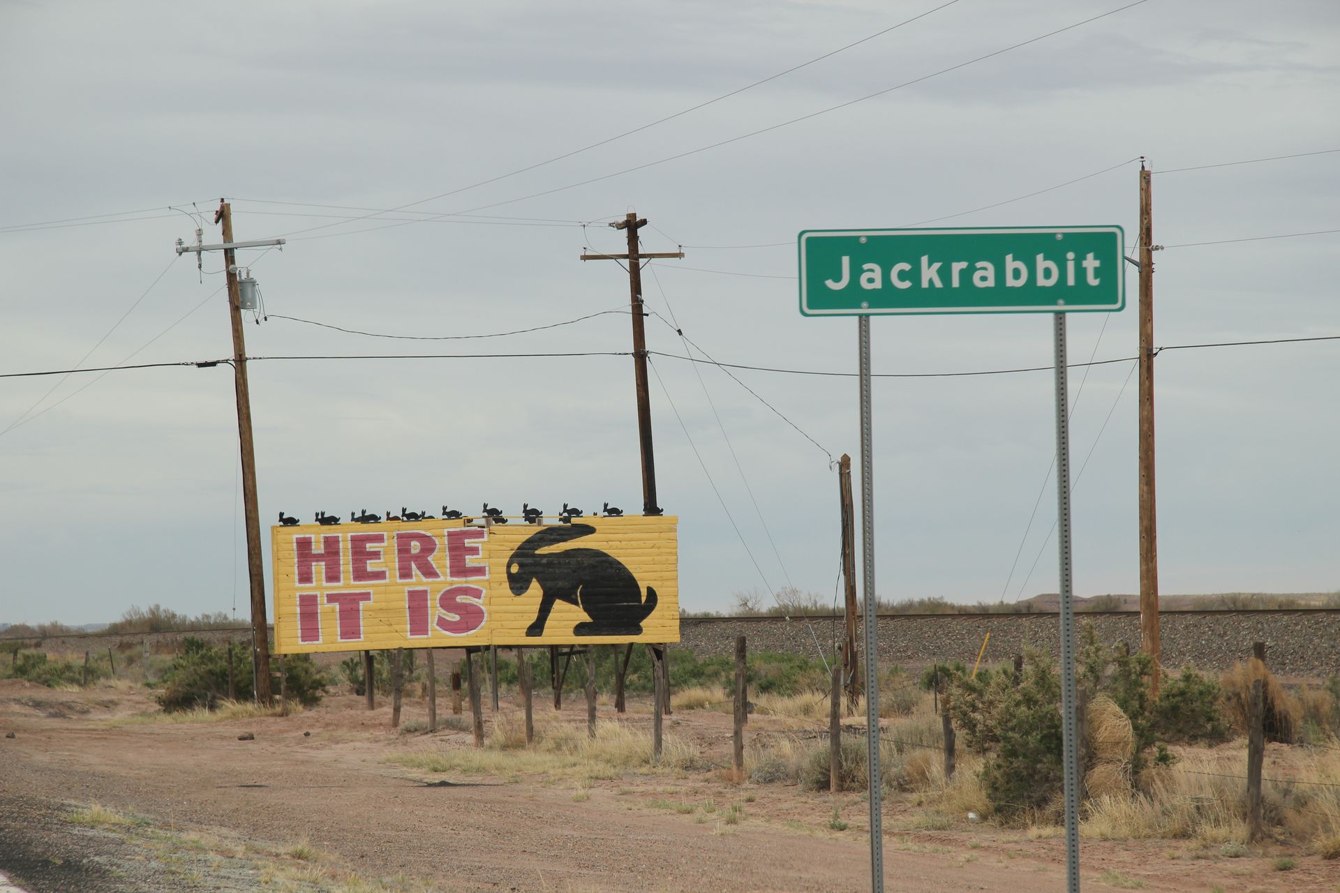
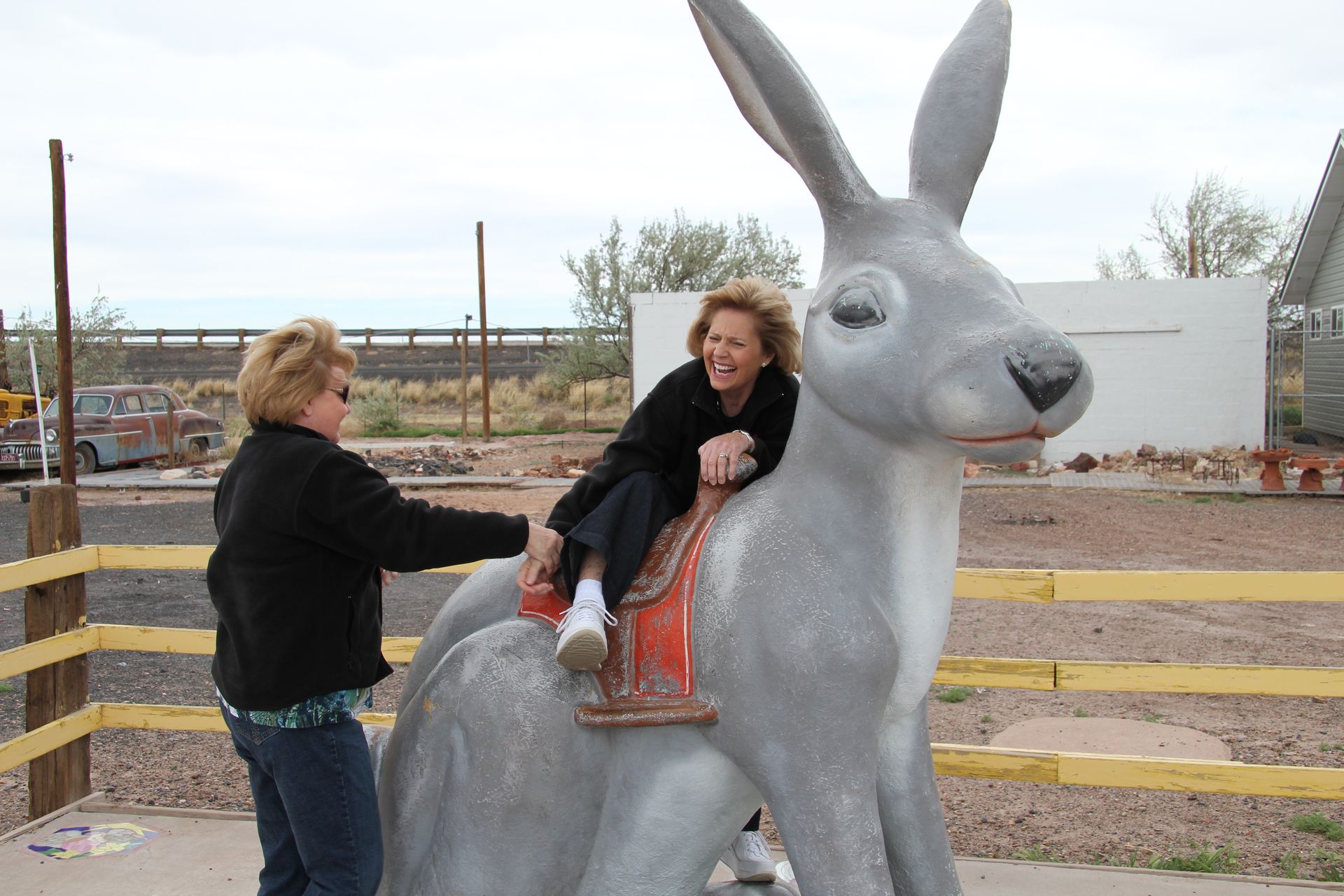
- B. Jackrabbit Trading Post - Joseph, AZ
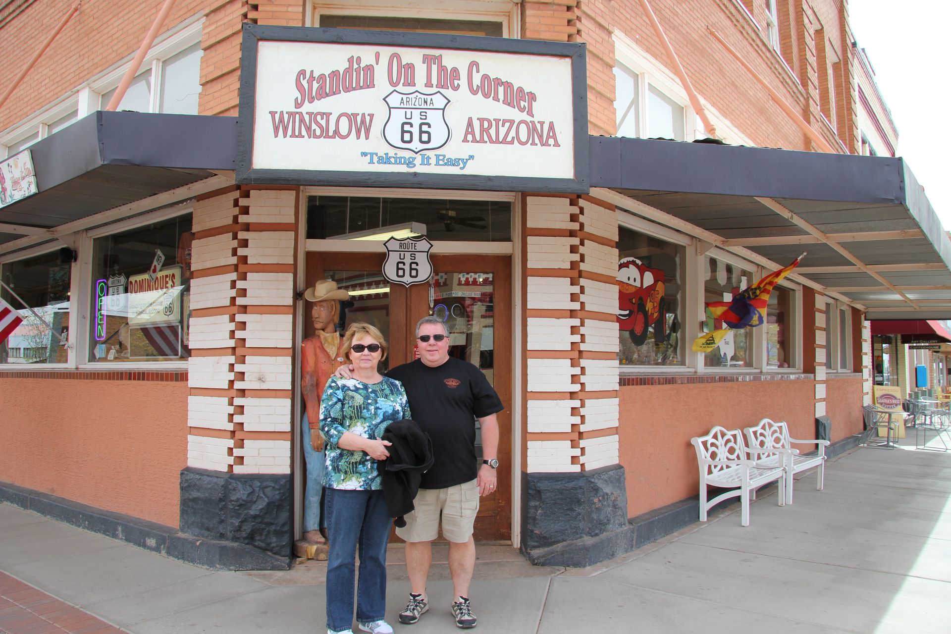
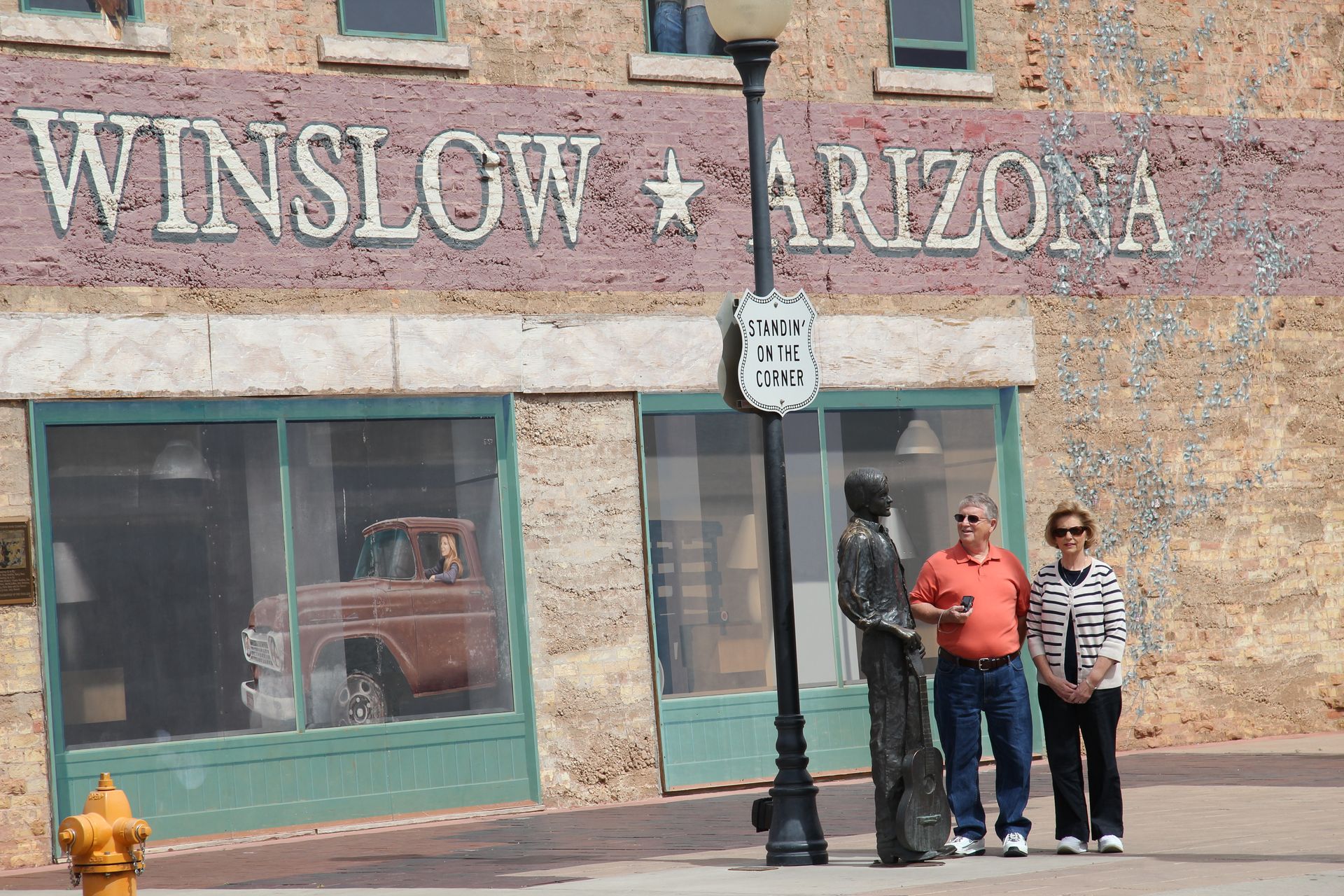
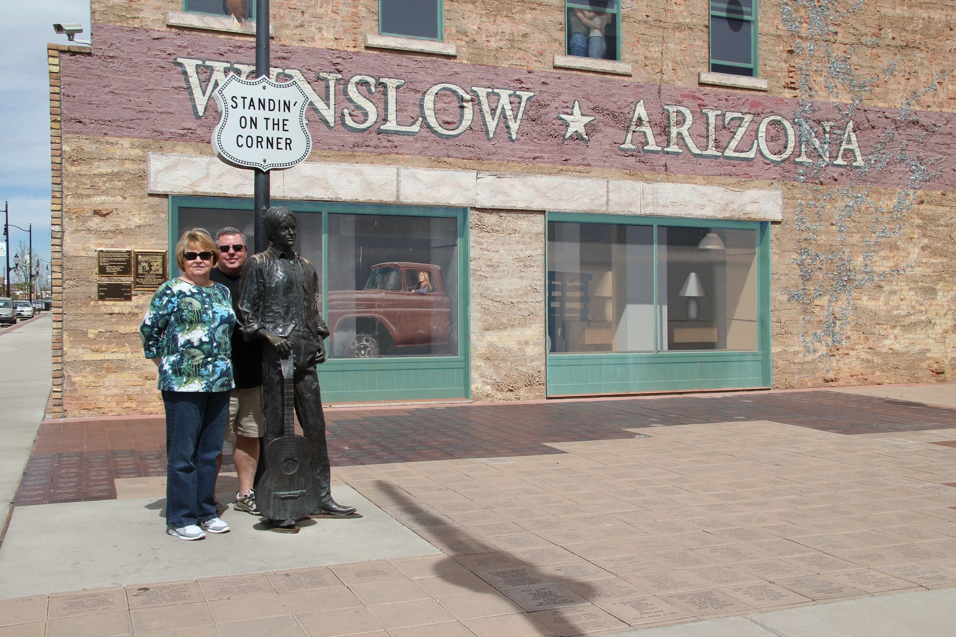
- C. Stand on the corner - Winslow, AZ
- D. Trading Post - Meteor City, AZ
- E. Trading Post - Twin Arrows, AZ
- Other Route 66 links in Arizona
- Flagstaff
- Flagstaff, AZ
- Flagstaff is a Dark Sky City
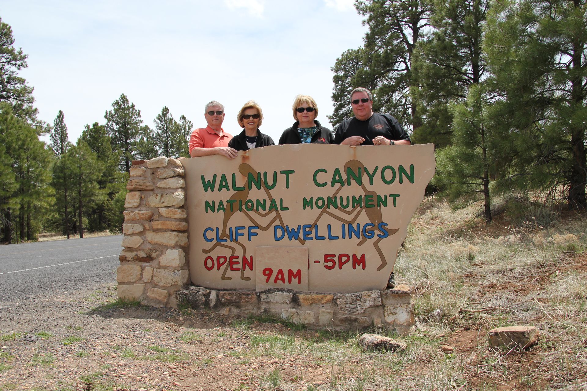
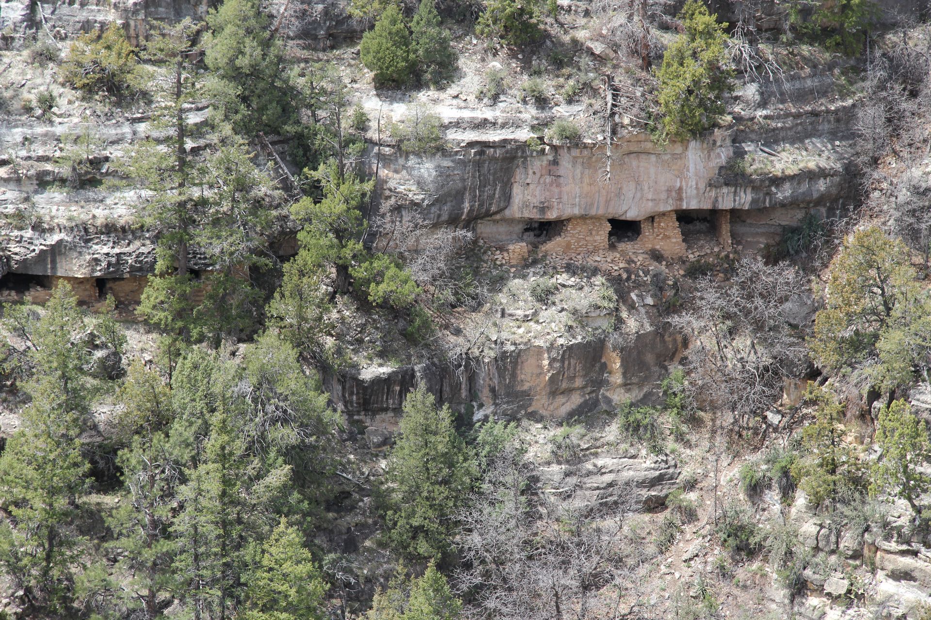
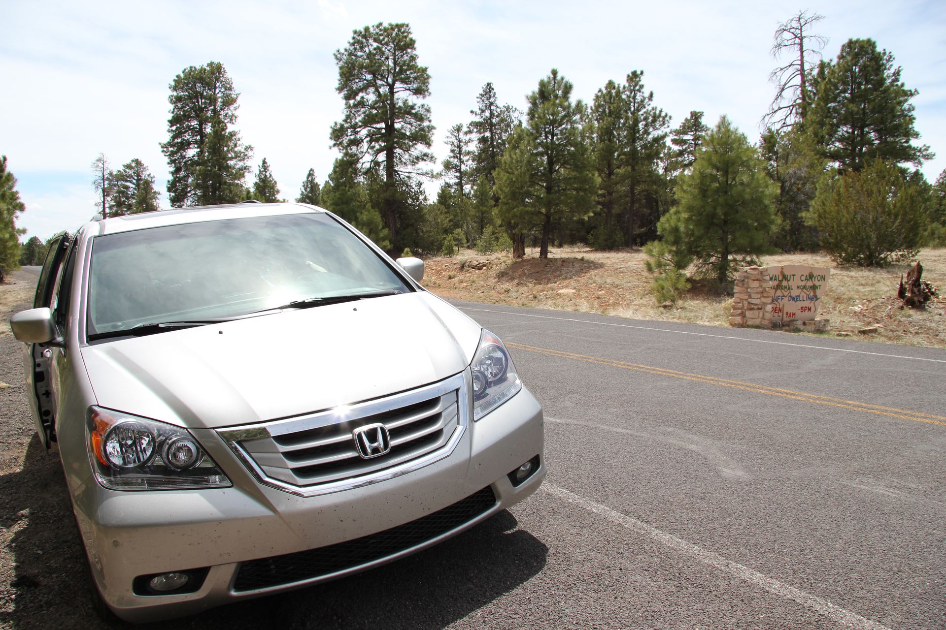
- Walnut Canyon National Monument
- Montezuma Castle N.M.
- Fairfield Inn
- Residence Inn*
- National Parks
We slept in an extra hour this morning since this was going to be a short day. We had less than 100 miles to get to Flagstaff where we will stay through Easter and head out to Grand Canyon Monday morning.
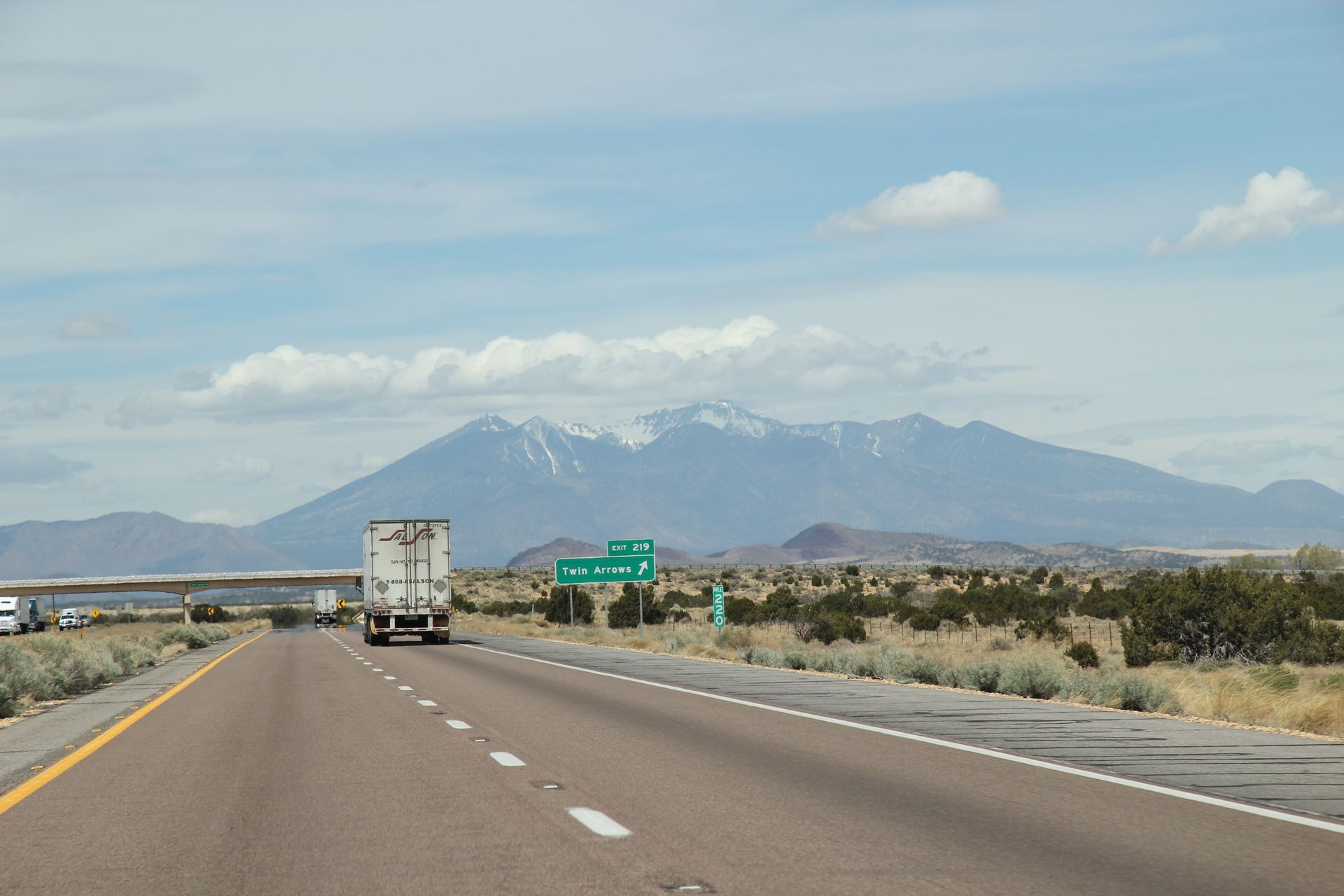
We left around 9:00 and picked up Route 66 in Holbrook. We drove by the Wigwam motel and checked out their teepee rooms before picking up I-40 and heading towards Flagstaff. We picked up Route 66 and drove to Joseph City and took a picture of Howdy Hanks trading post and Ella’s Frontier store (both closed after I-40 was built). Route 66 turned into a gravel road at end of Joseph City so we picked up I-40 and drove to Jack Rabbit trading post. After several pictures of all of us riding the rabbit (yeh you saw some of those pics on Facebook) we drove on to Winona and took a pic of an old iron bridge that was part of Route 66. It was a great pic with the San Francisco peak in the background.
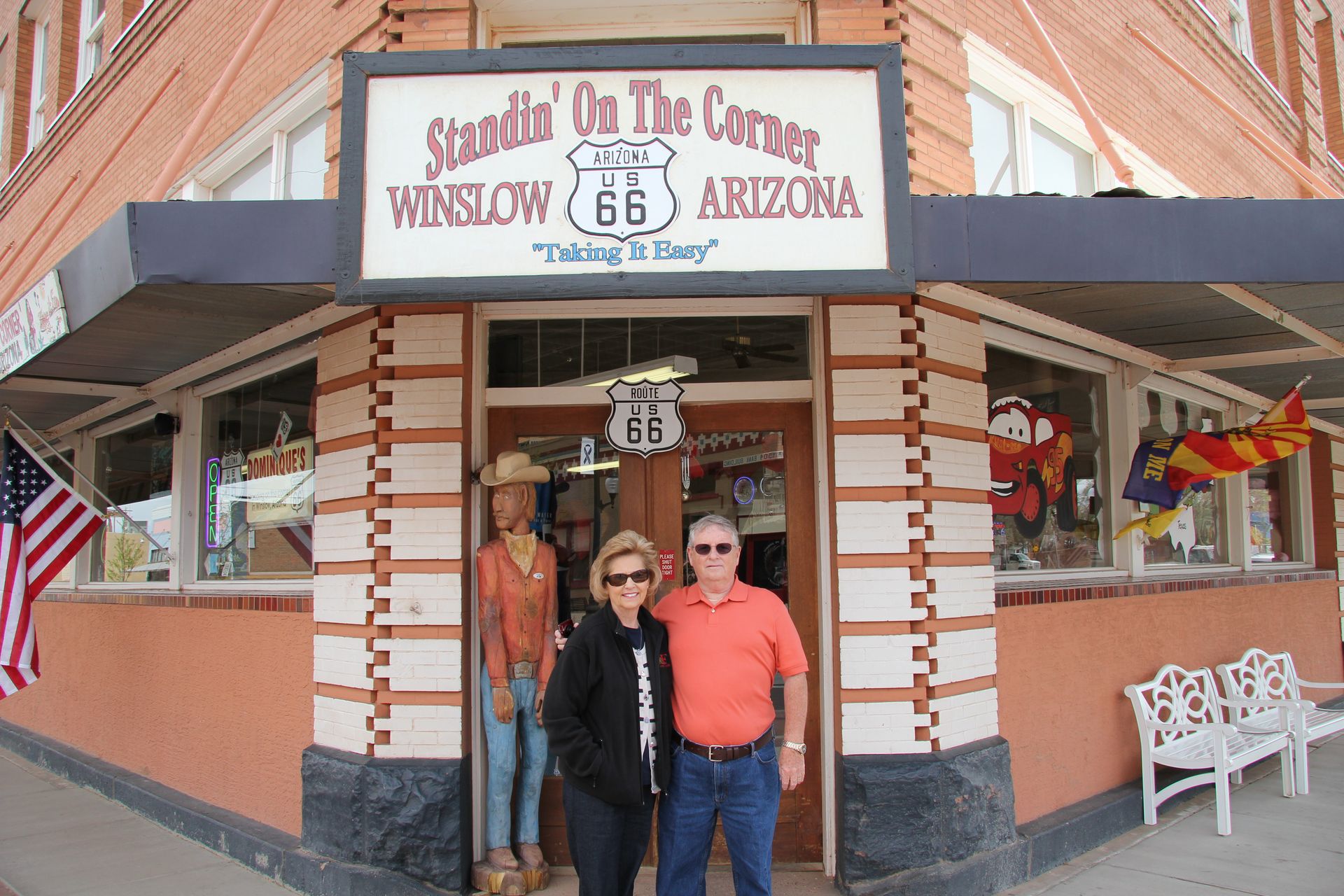
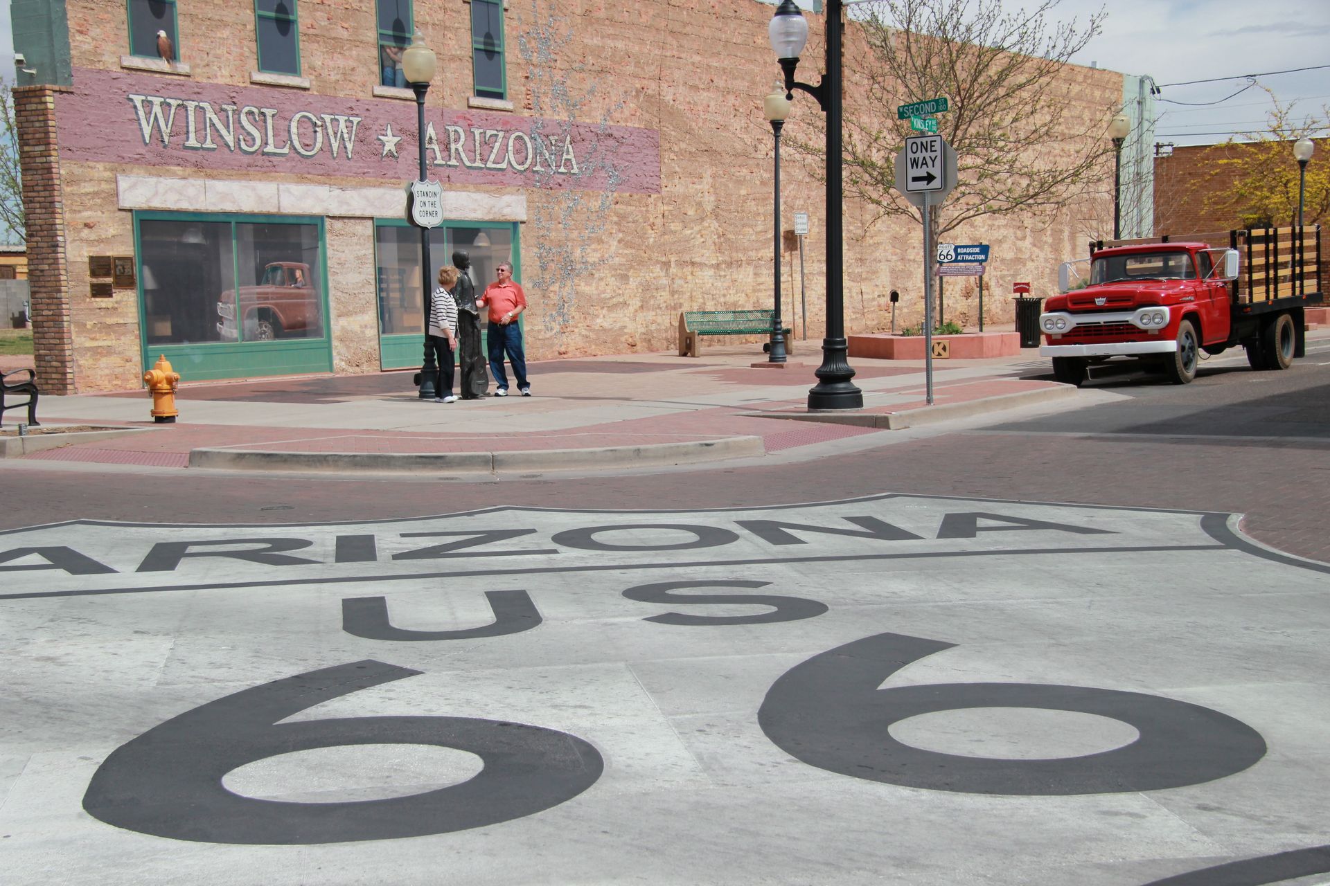
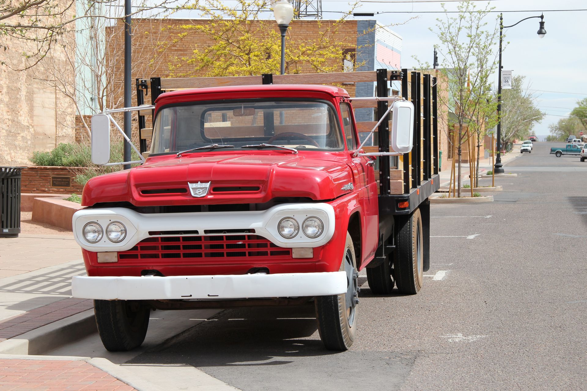
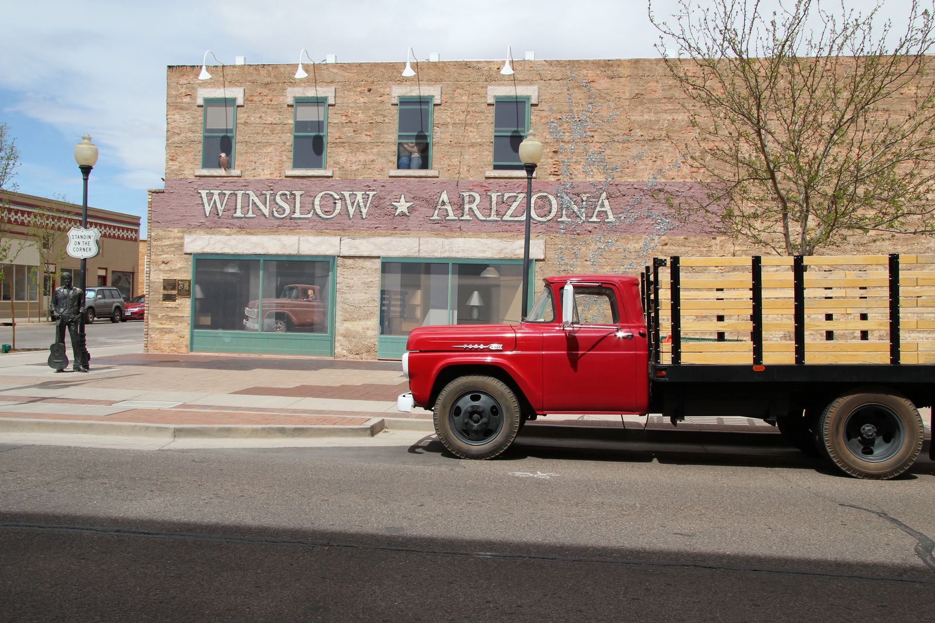
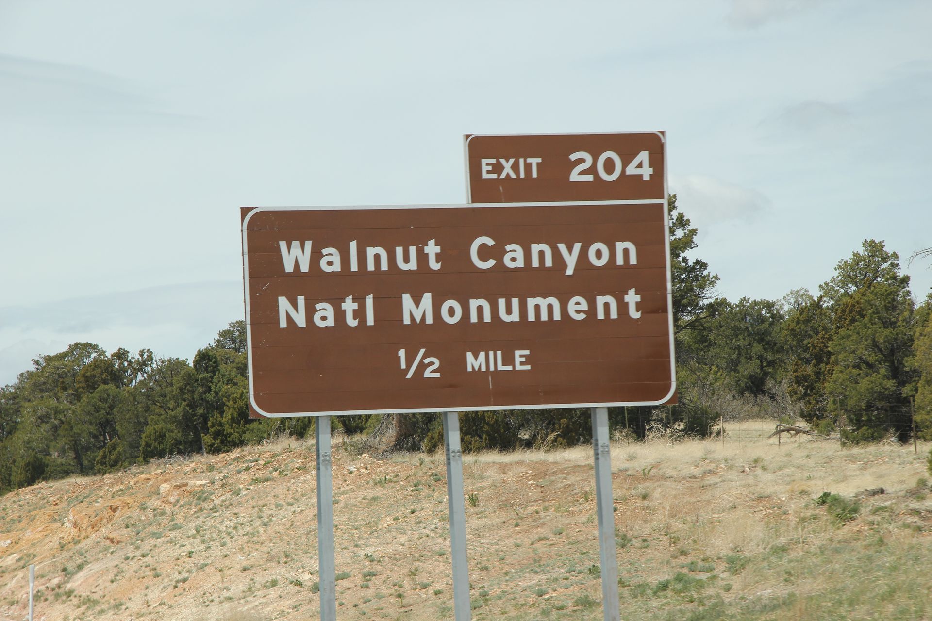
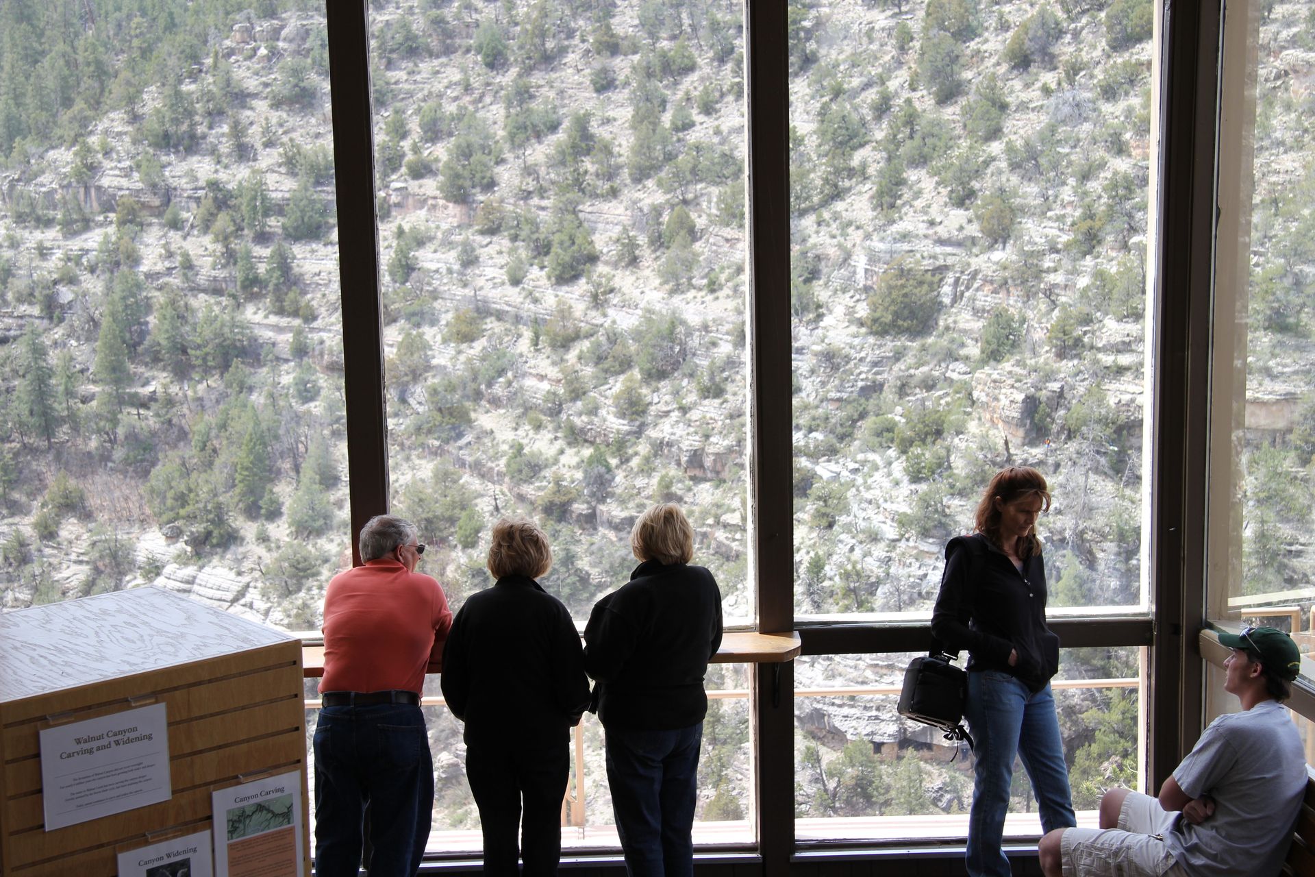
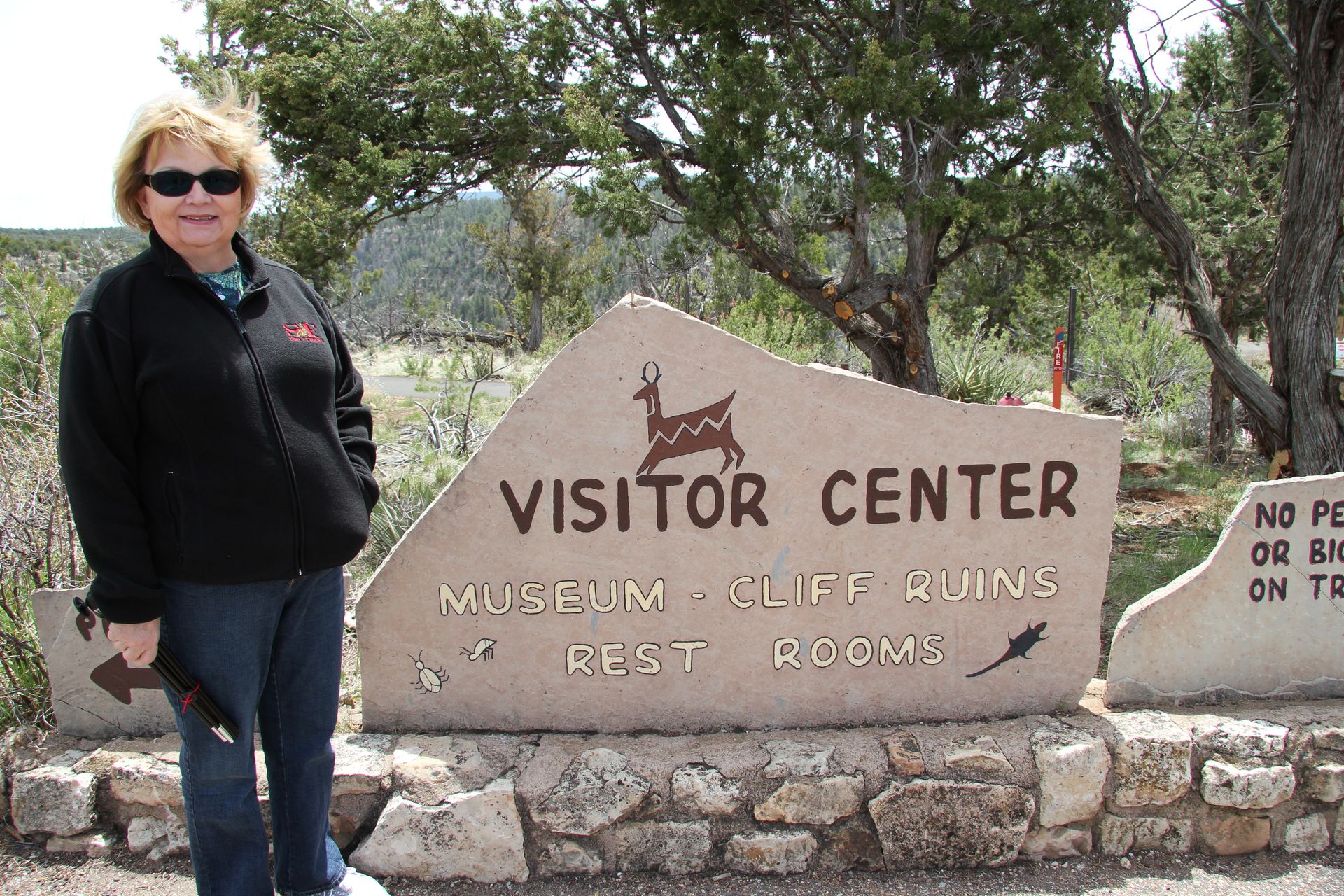
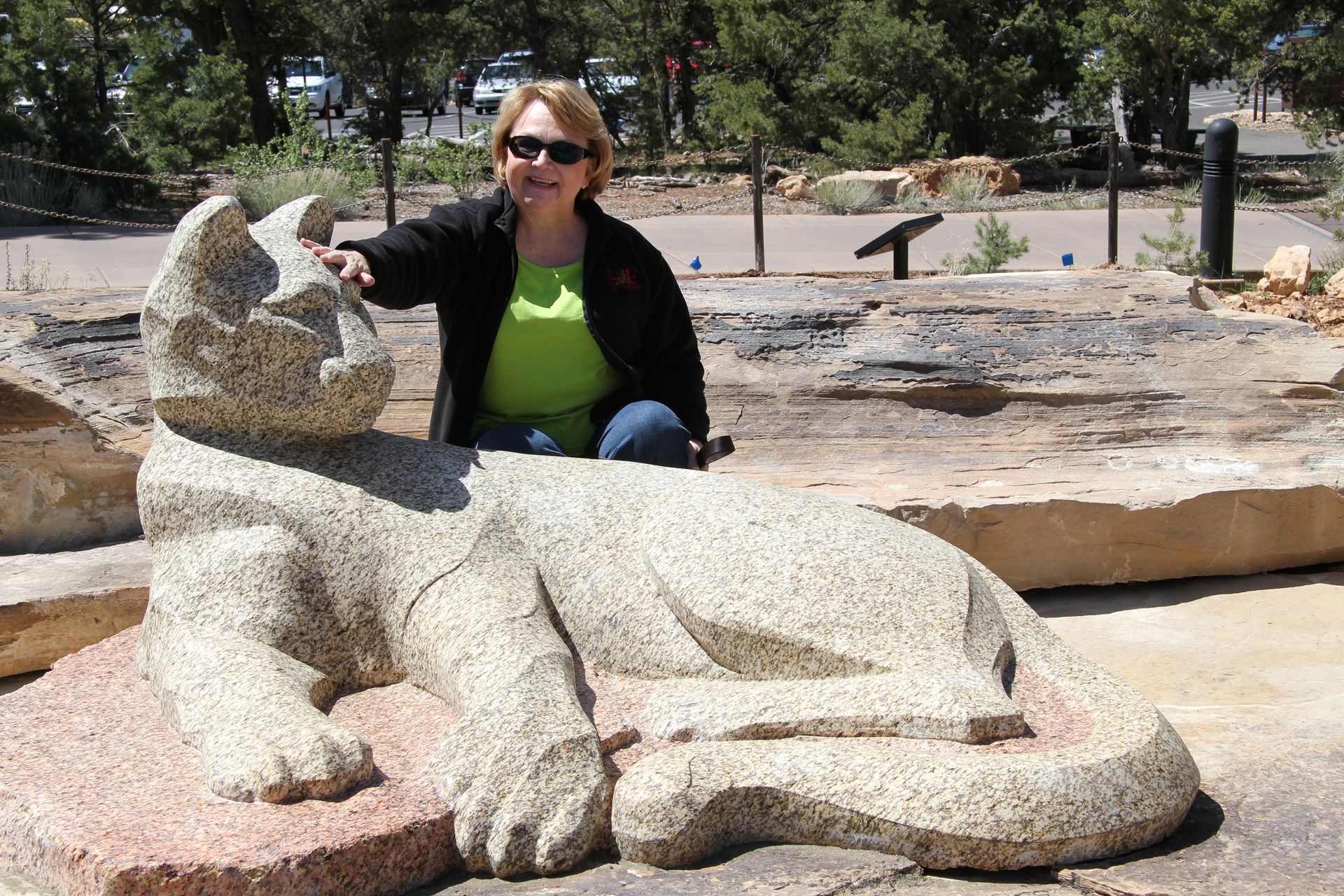
We then headed to Winslow, AZ. After standing on the corner, we picked up some great souvenirs and headed toward Meteor City. That place was in pretty bad shape so we took a pic of the largest 66 map and moved on. We stopped at Walnut Canyon National Monument to see some cliff dwellings. It was a cool 60 degrees with the wind blowing at 35 mph (I think the wind in the west always blows at 35 mph). I was ready to trade in my shorts and t-shirt for jeans and jacket. We completed our visit and drove to Flagstaff. After a quick lunch we tried to check into the Residence Inn but rooms were not ready. We drove to old town Flagstaff and then up to Lowell’s Observatory. Because of the cloudy weather, it was doubtful stars would be visible tonight so we opted not to go back Saturday evening.
We headed back to hotel and checked in. We washed clothes in the afternoon and then headed to dinner (Gwen was ready for chicken and dumplings at Cracker Barrel). After dinner Patsy farmed and I (well, you know – completed the blog). Please click on pic below for larger version.
Flagstaff, Sanoma, Montezuma Castle
- Day 7, Sun, Apr 24, 2011 (Easter)
- Google Map - 108 miles
- Links
- Restaurants and Hotel
- Route 66 and other links for Flagstaff
- National Parks
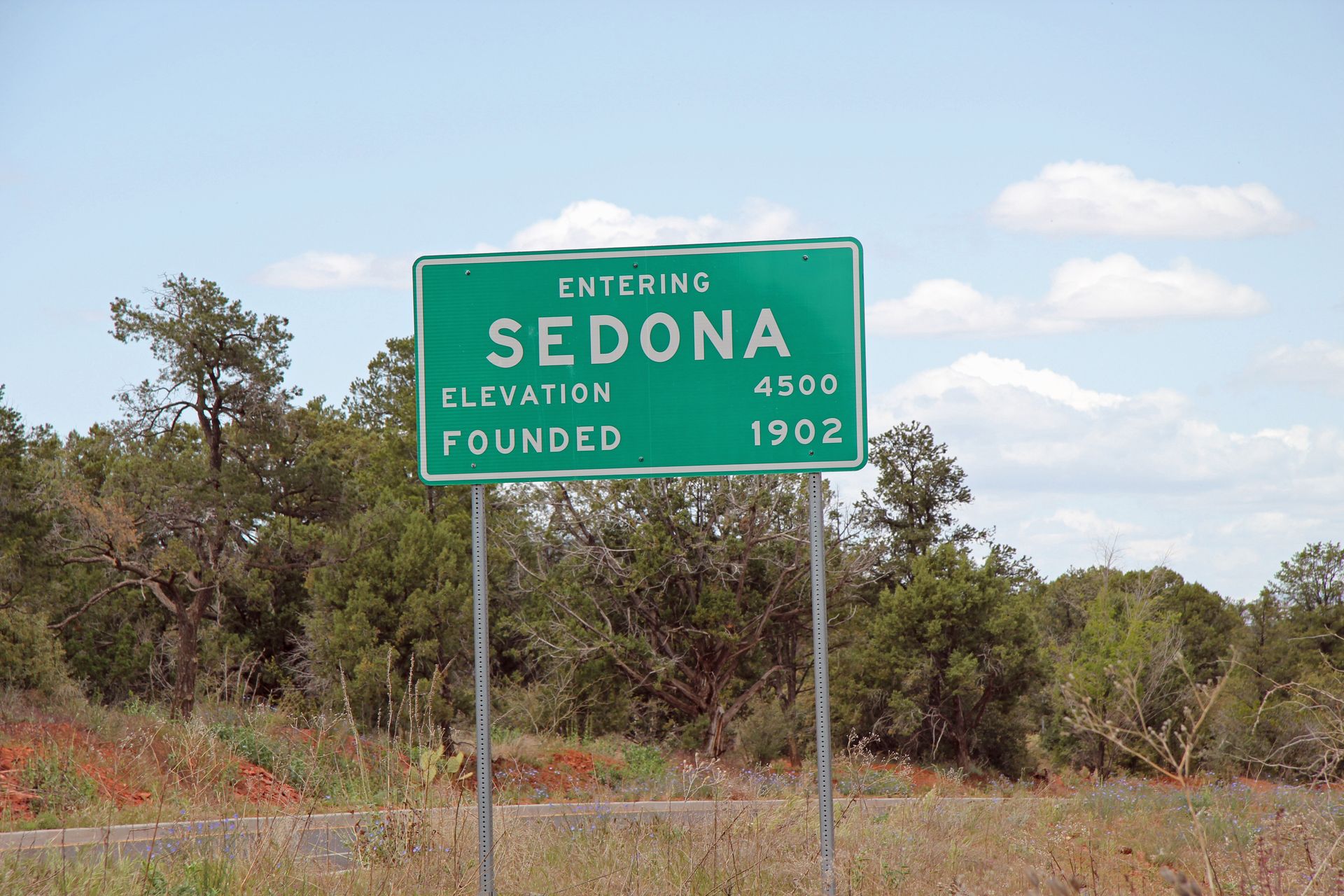
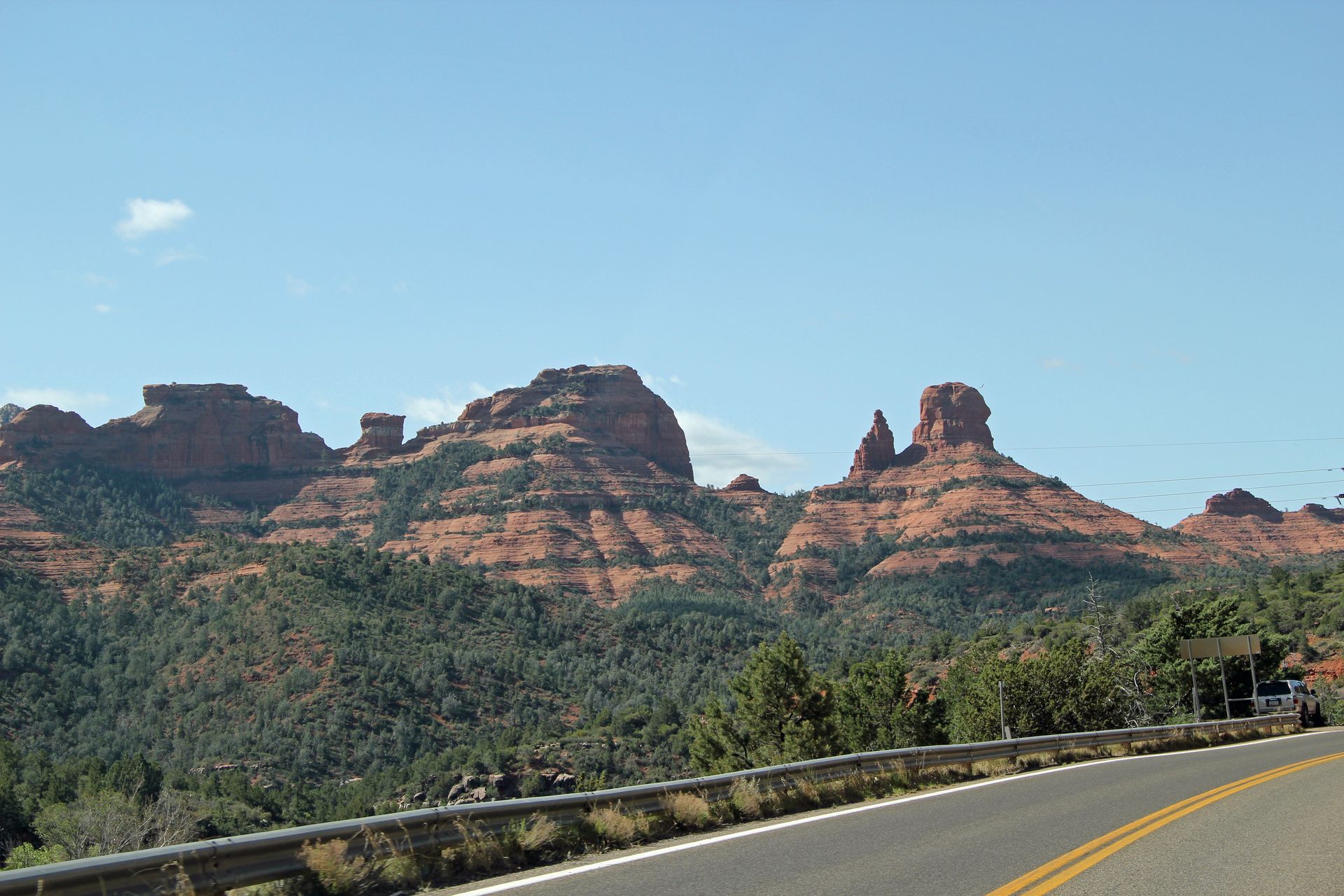
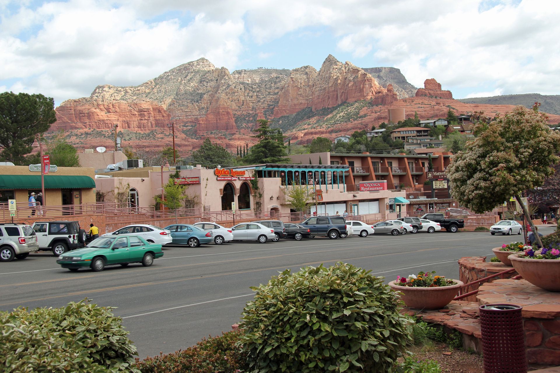
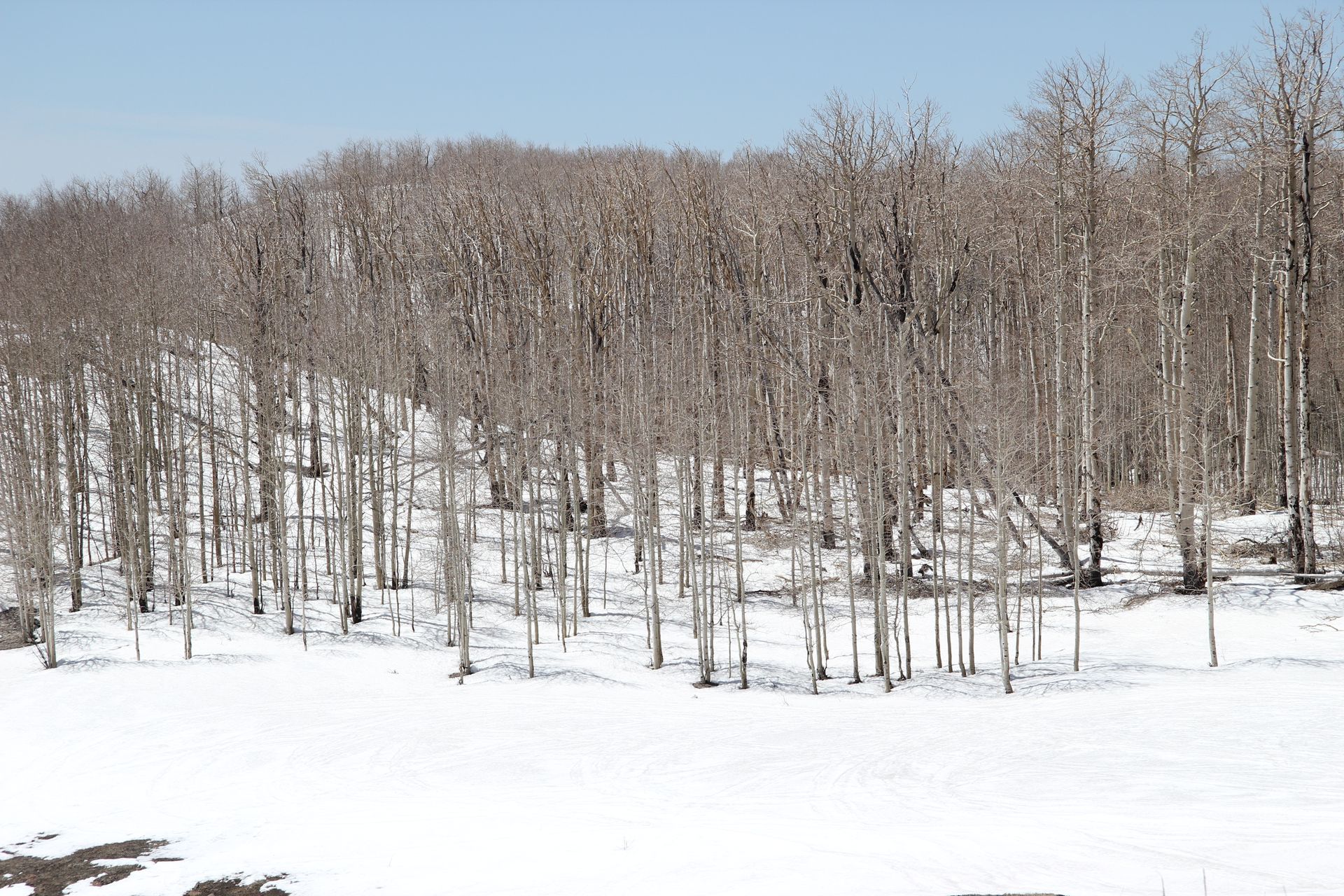
We slept in this morning and had breakfast at the hotel and then headed to Sedona around 8:30. It was a cool 42 degrees this morning. The road to Sedona out of Flagstaff dropped from 7,000 feet to 5,000 feet in a few short miles around some challenging curves. It was 55 degrees with a 20 mph wind when we arrived but temperature rose to mid 60’s by 11:00.
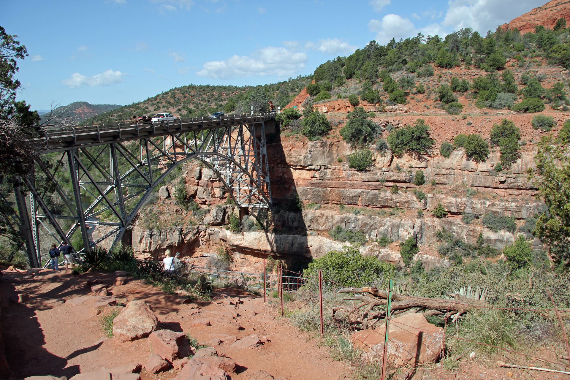
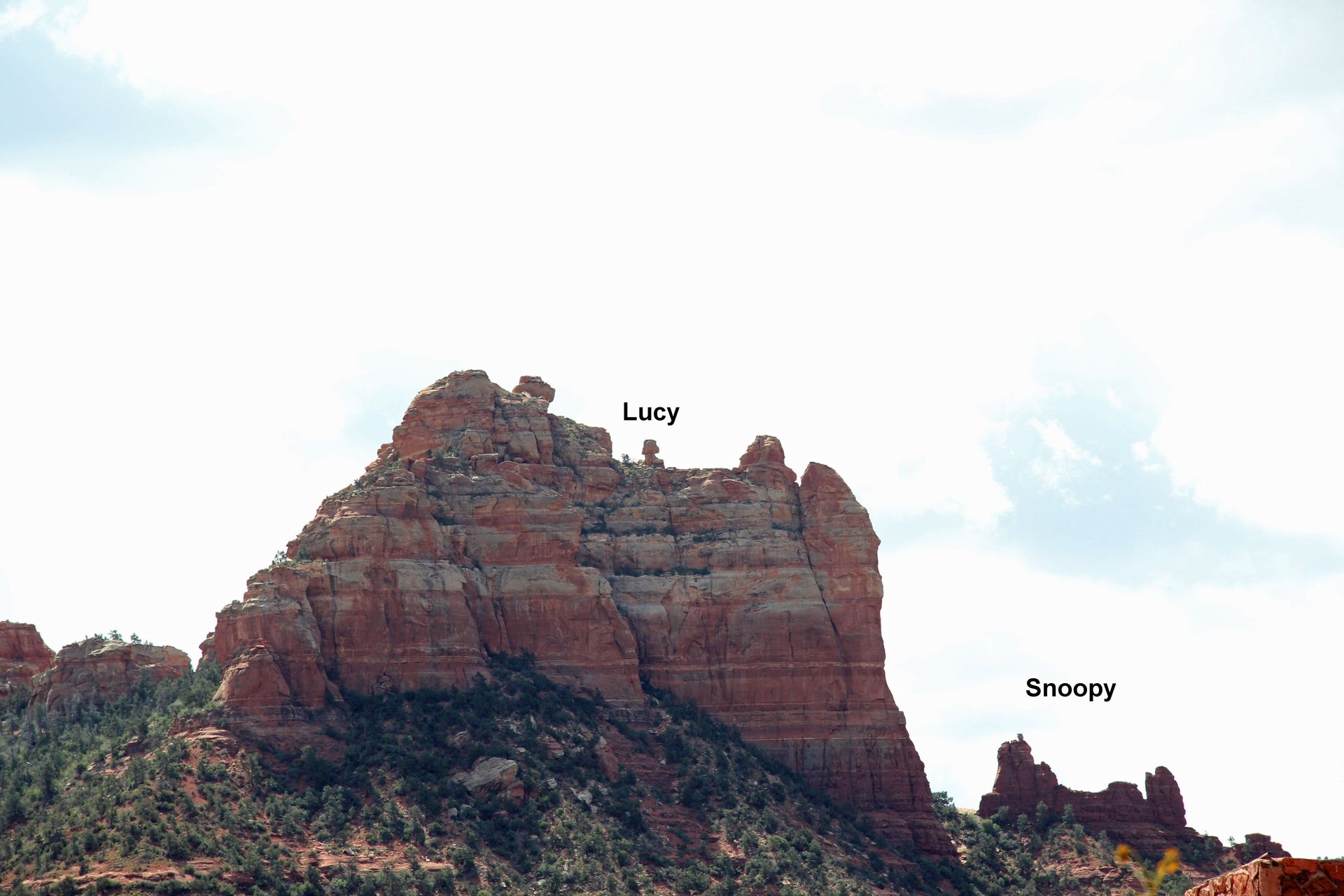
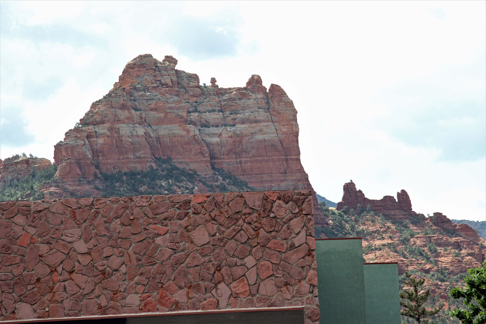
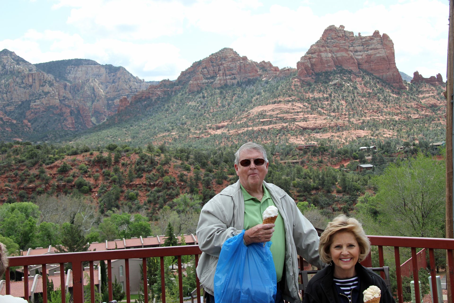
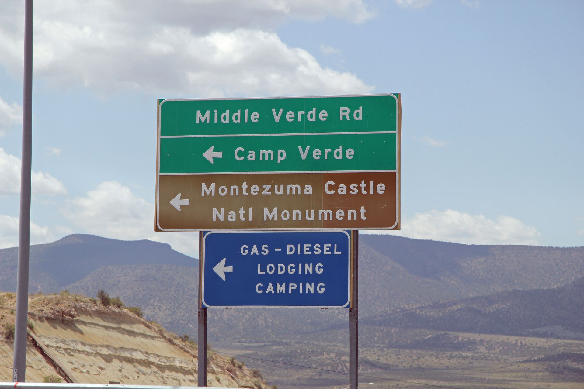
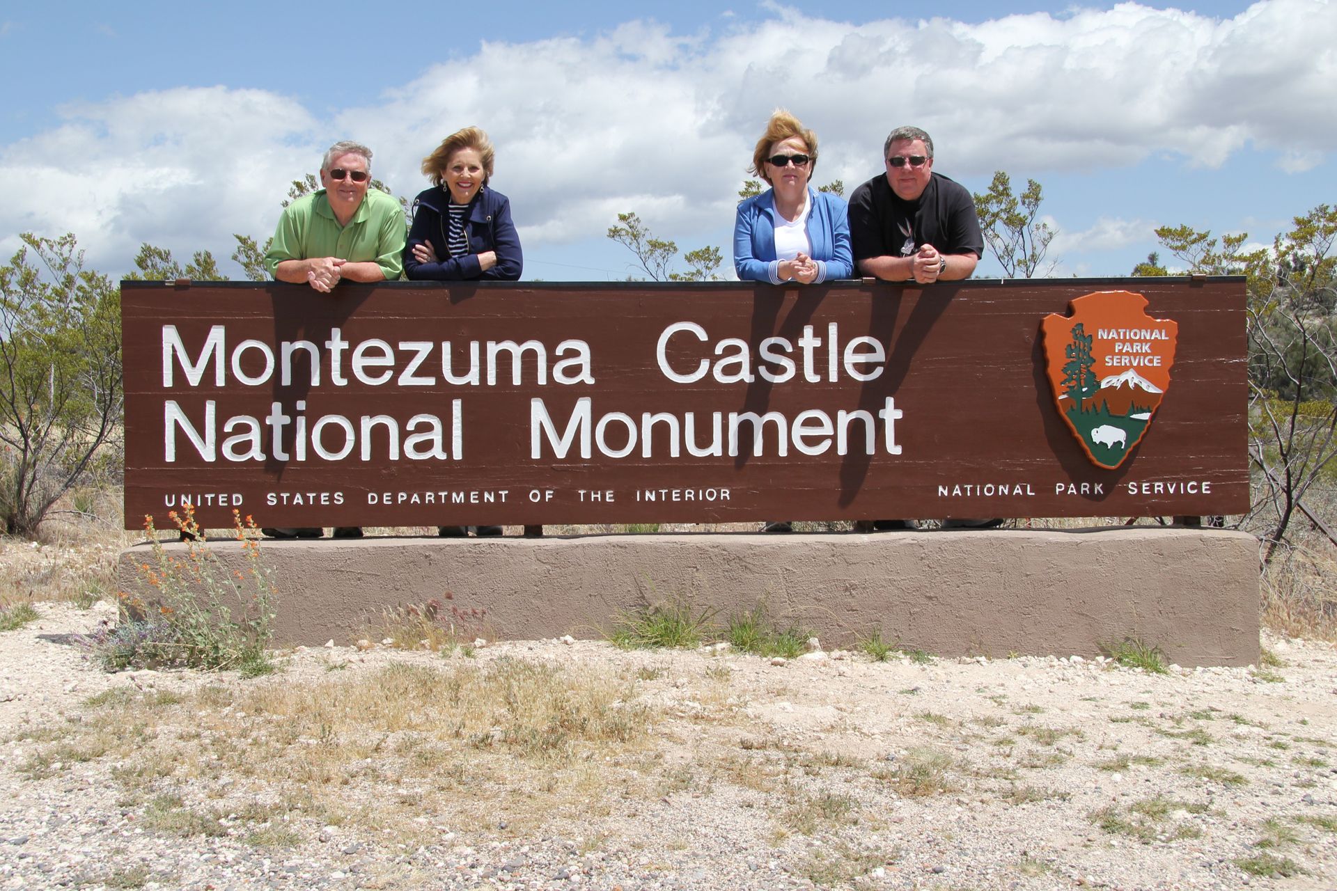
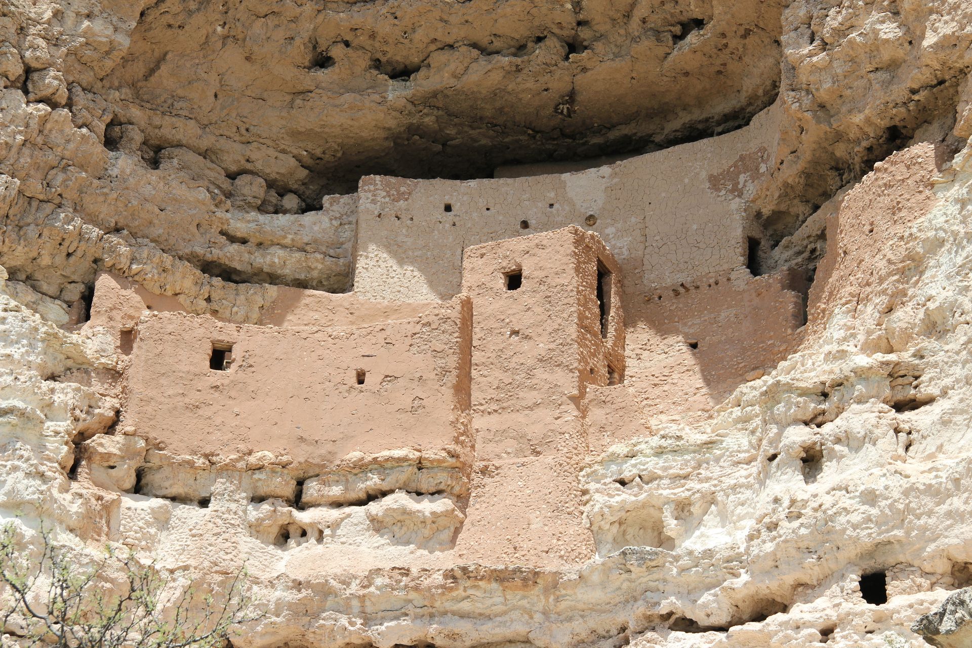
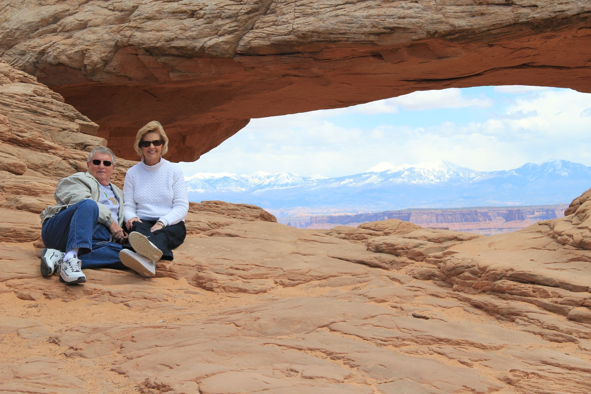
It looks like the red rock formations were carved and Sedona set in the middle of them. Each rock formation has been given a name based on what one can imagine it looks like. In the photos below there is one that looks like Lucy with Snoopy lying on his back. We walked around the town and did some shopping and had some ice cream (and took a few pics). We left around noon and drove down to Montezuma’s Castle National Monument. The road dropped another 1,000 feet and the temperature rose to 72 degrees. We got our National Park stamped at the desk and then walked a short trail to get some pics of the castle (actually a cliff dwelling).
We headed back to Flagstaff around 1:30 and drove up I-17 to arrive at hotel by 2:30. After finishing up laundry we went to Fratelli’s and had some great pizza.
Flagstaff, AZ to Page, AZ
- Day 8, Mon, Apr 25, 2011
- Google Map - Grand Canyon - 77 miles
- Google Map - Page, AZ - 132 miles
- Links
- Along the way
- Page, AZ
- National Parks
- Grand Canyon National Park - NPS
- Vermillion Cliffs National Monument
- Lake Powell (Glen Canyon National Recreation)
Well, it is time to say goodbye to Route 66 and roads westward and start
the northern route. It was a cool 37 degrees this morning in Flagstaff and for
the next 4 days in Arizona and Utah the nights will be cold and upper 50′s and
low 60′s for the daytime highs. Good bye shorts and t-shirts. Hello jeans and
jackets.
Everything is starting to bloom here so spring is much later than
Tennessee – so we get to go through allergy season again. We left hotel at
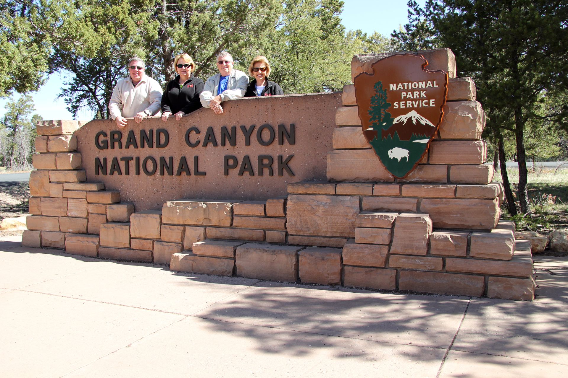
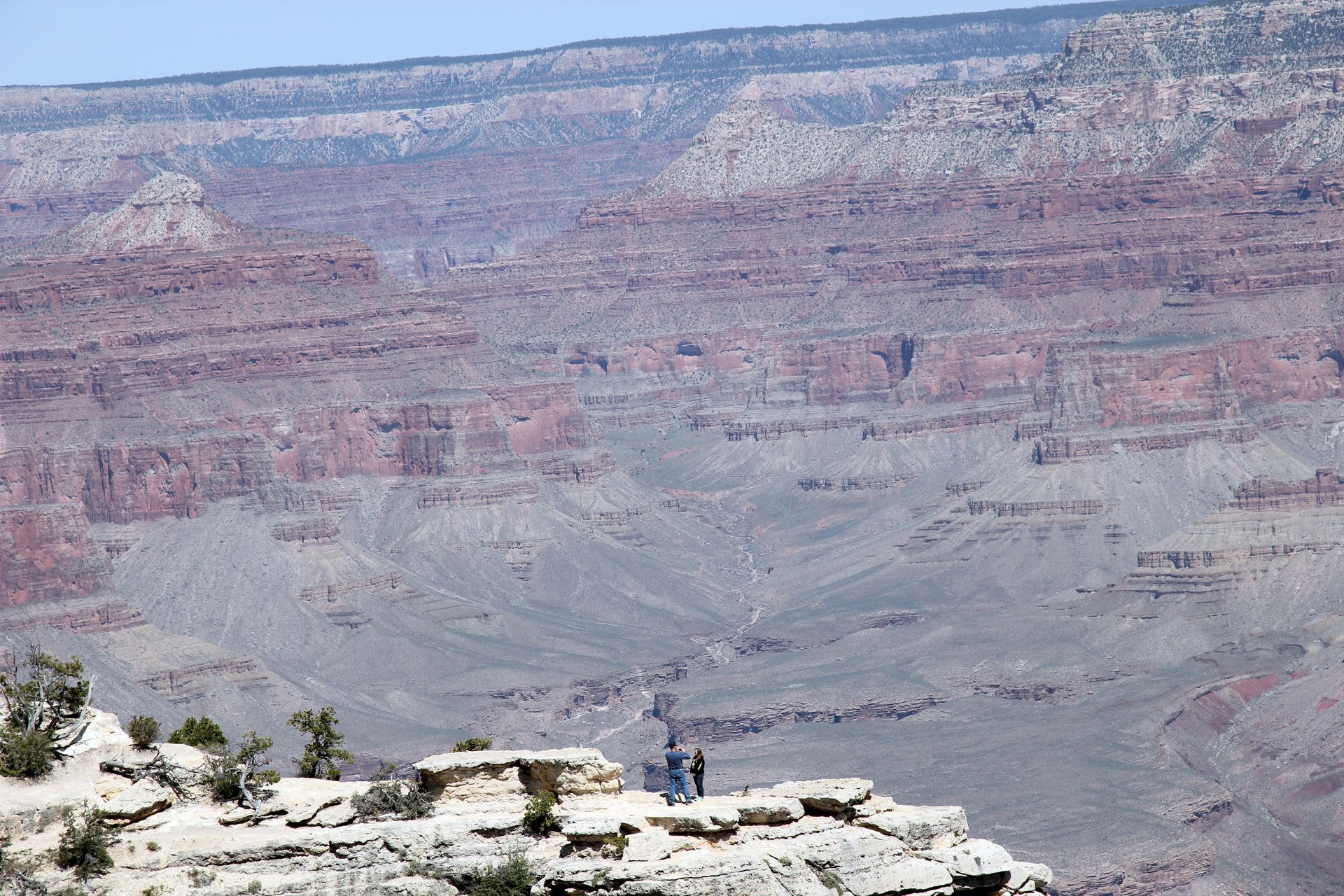
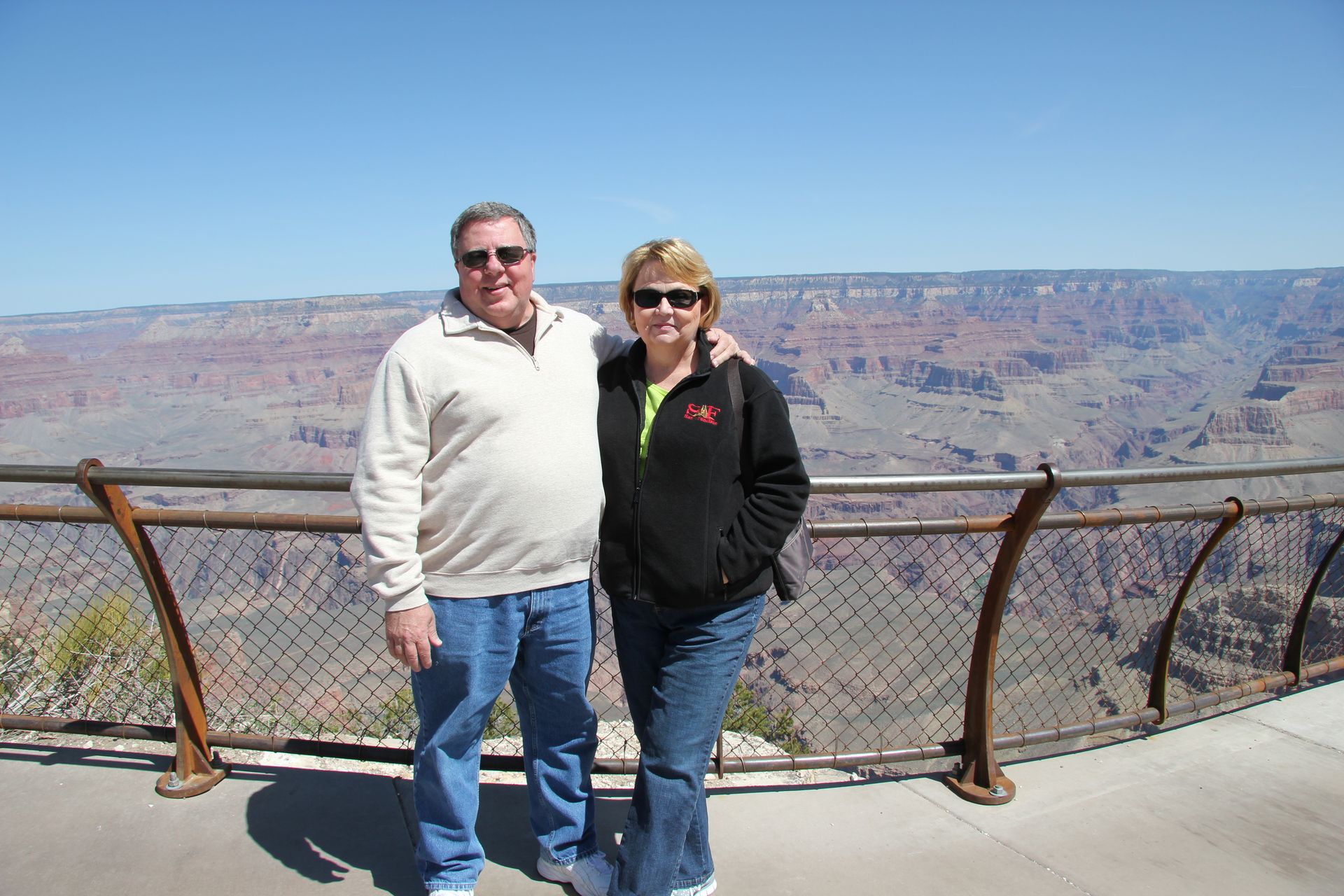
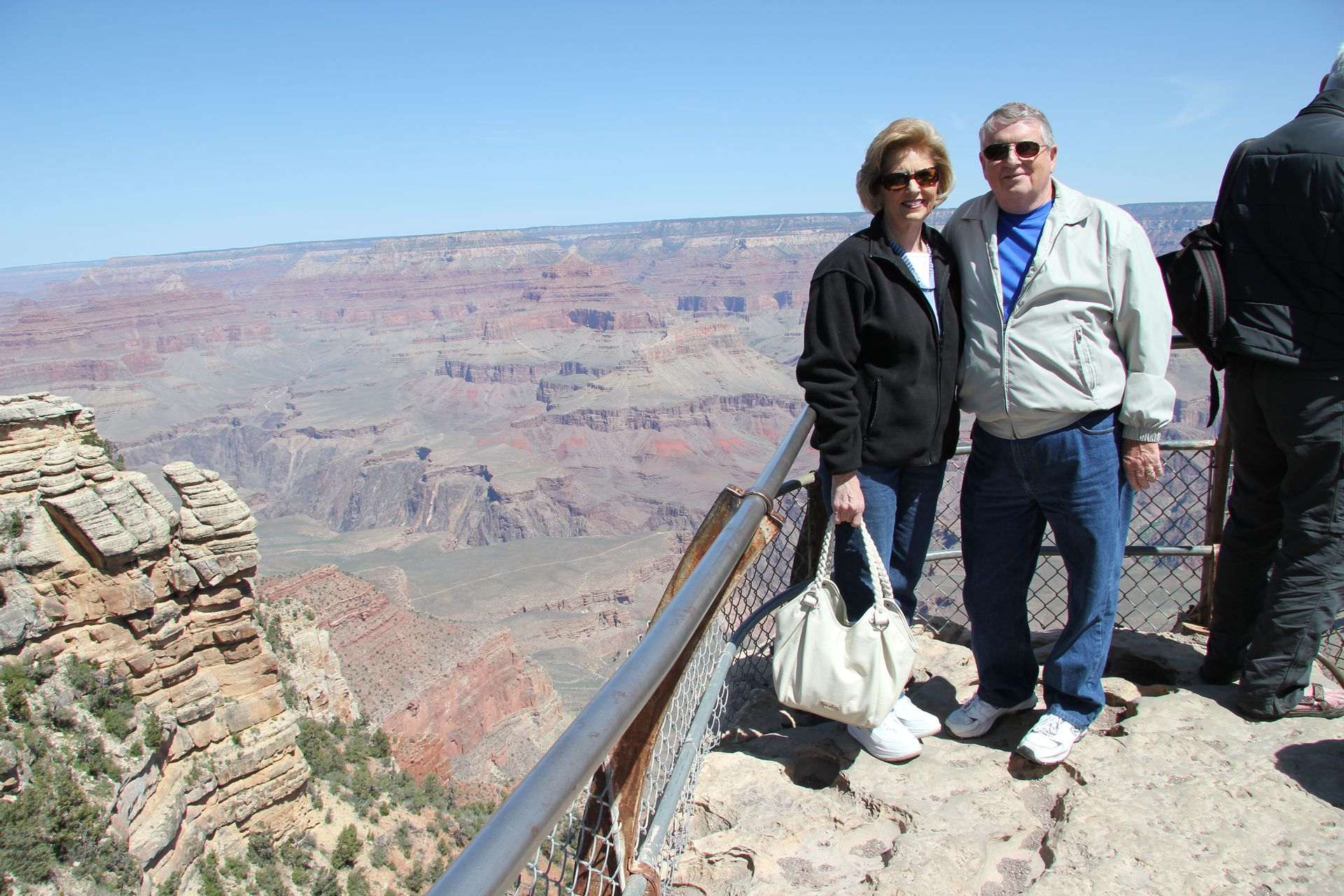
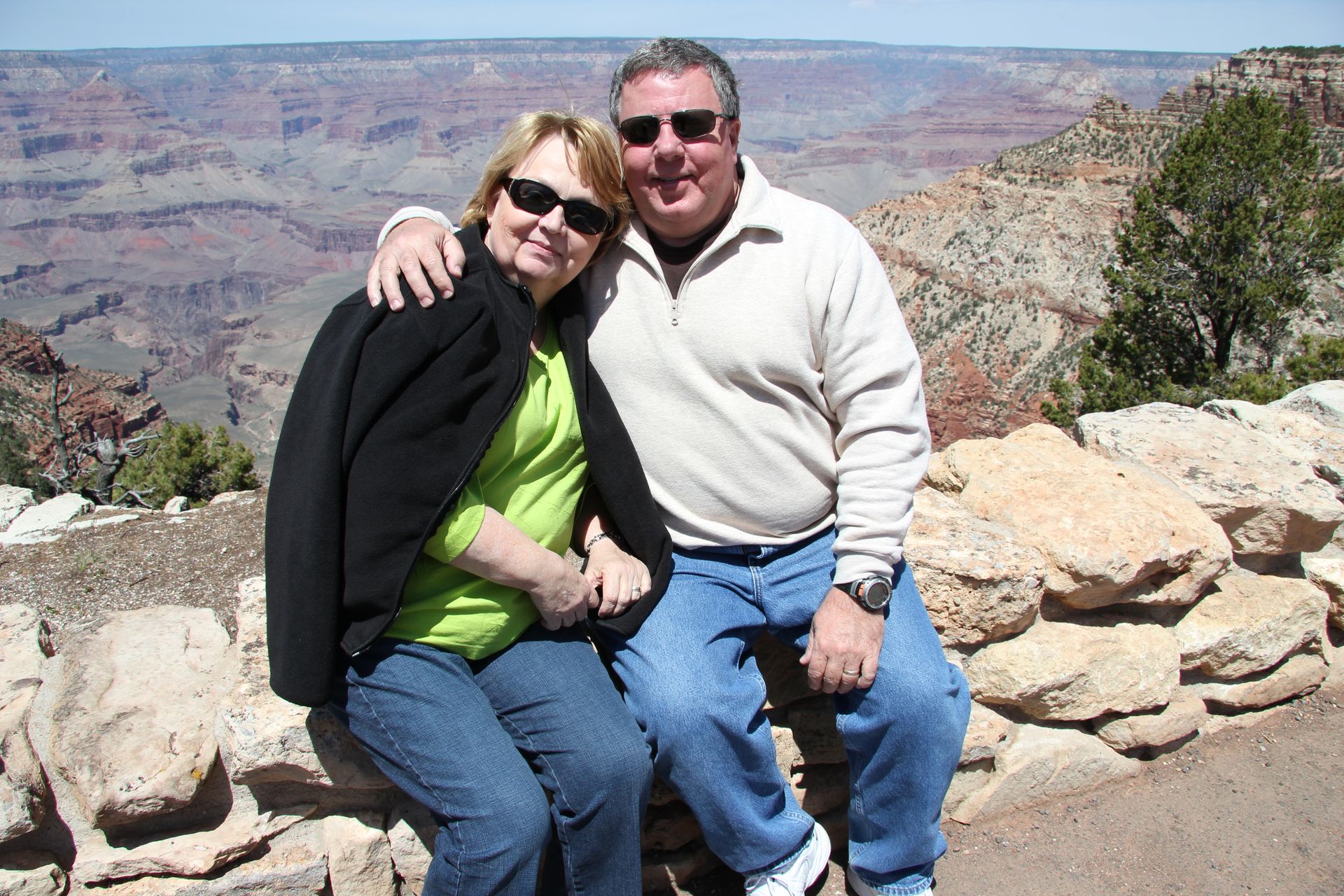
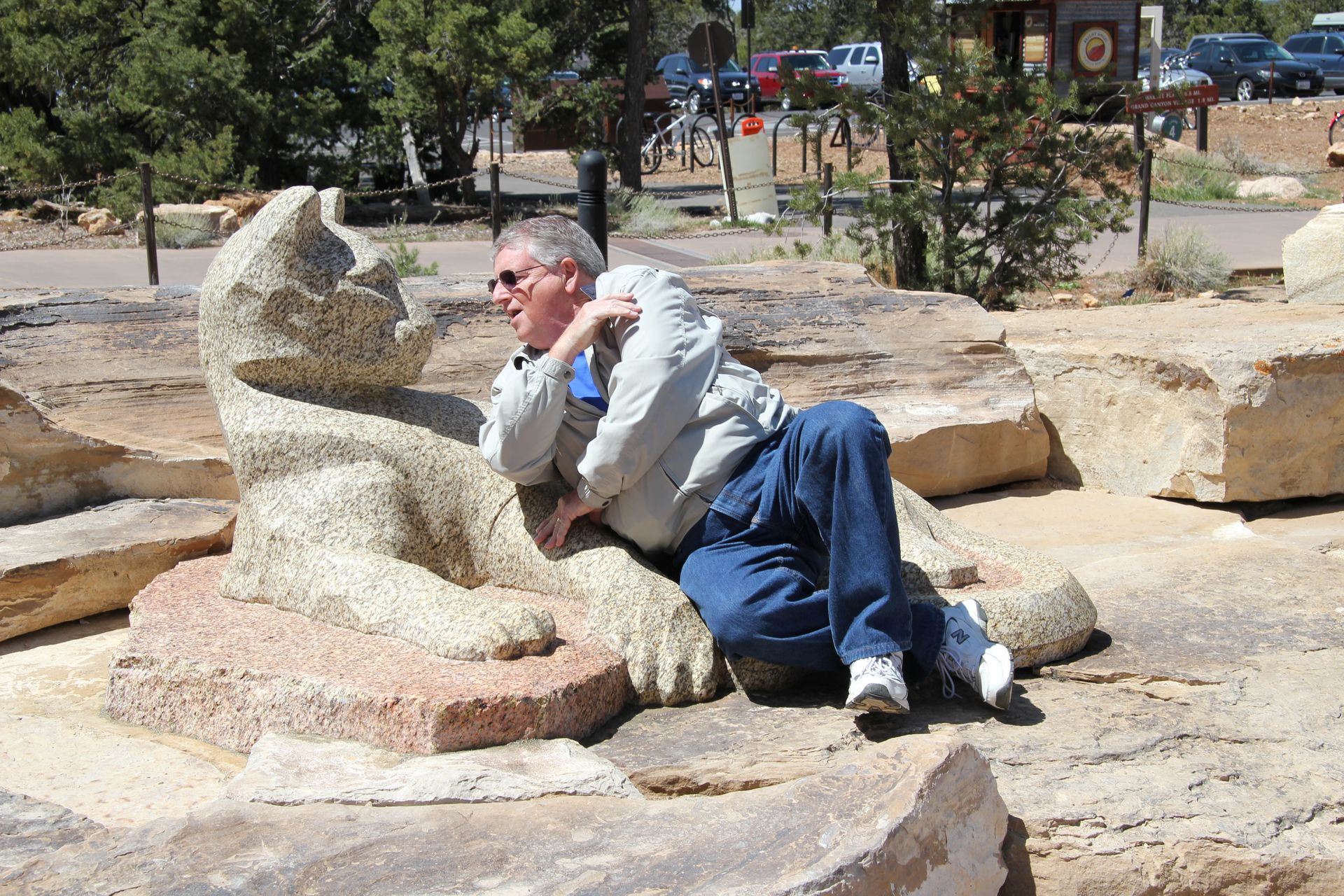
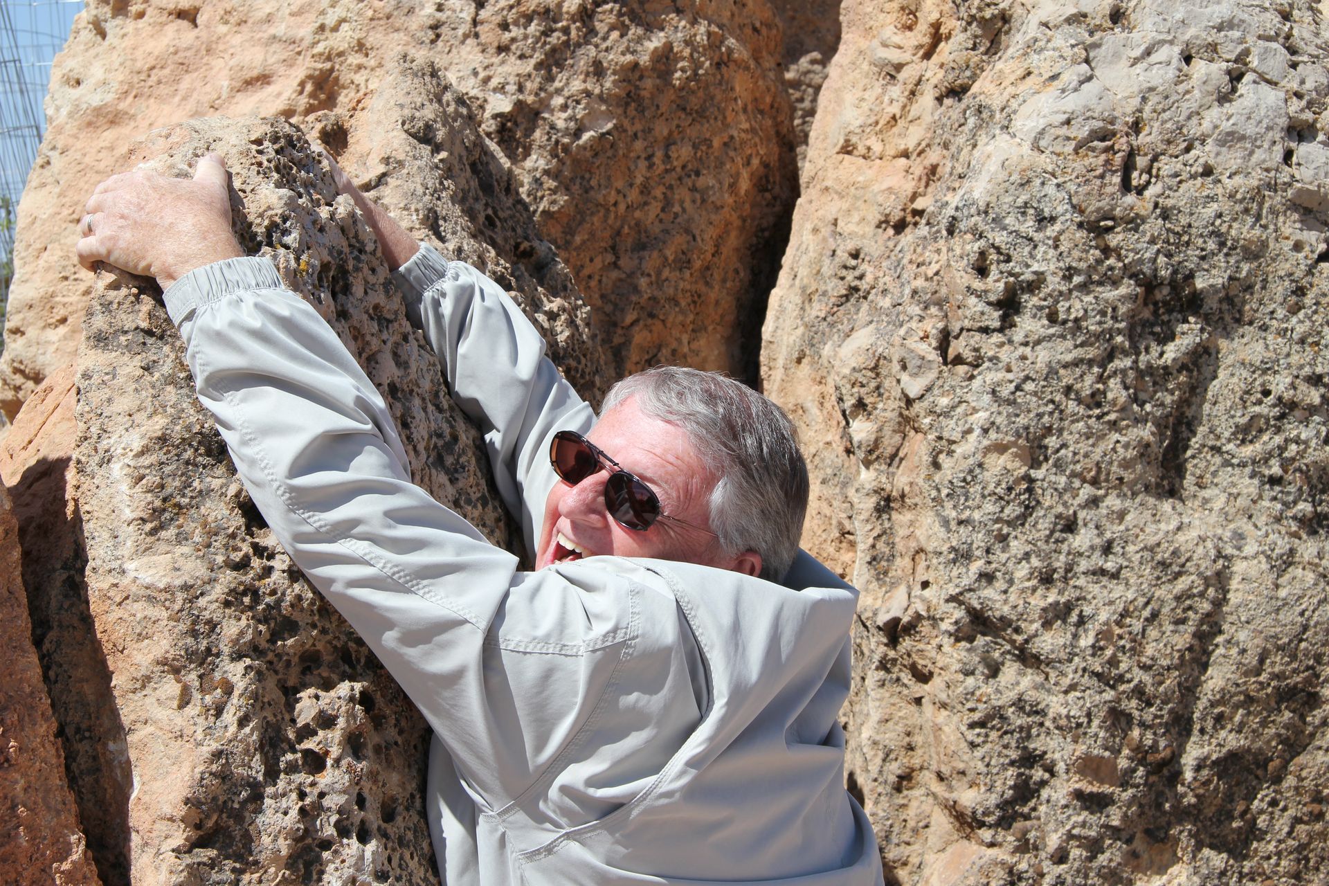
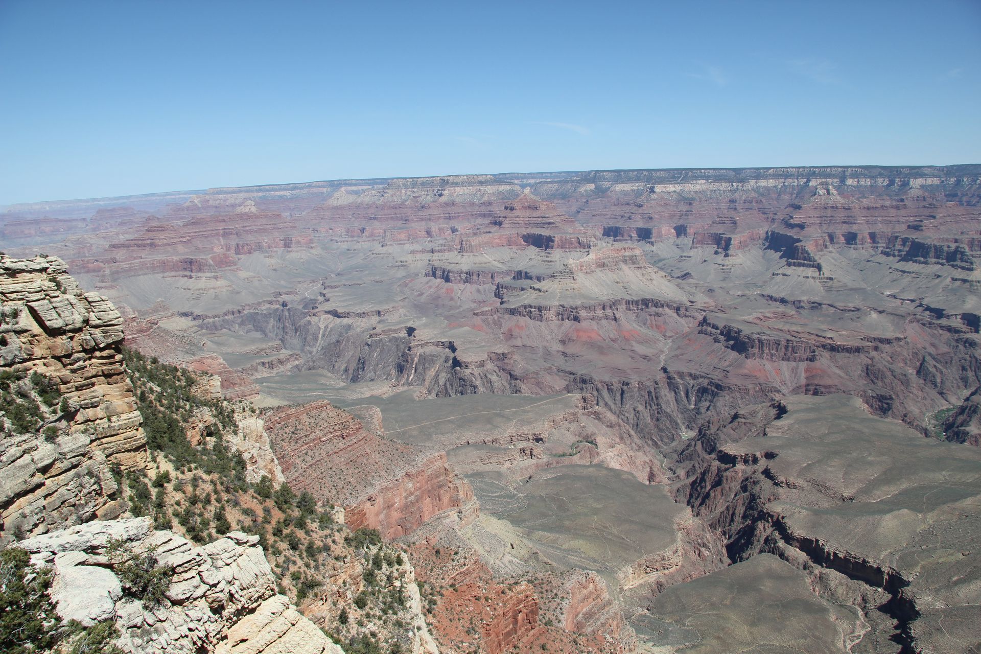
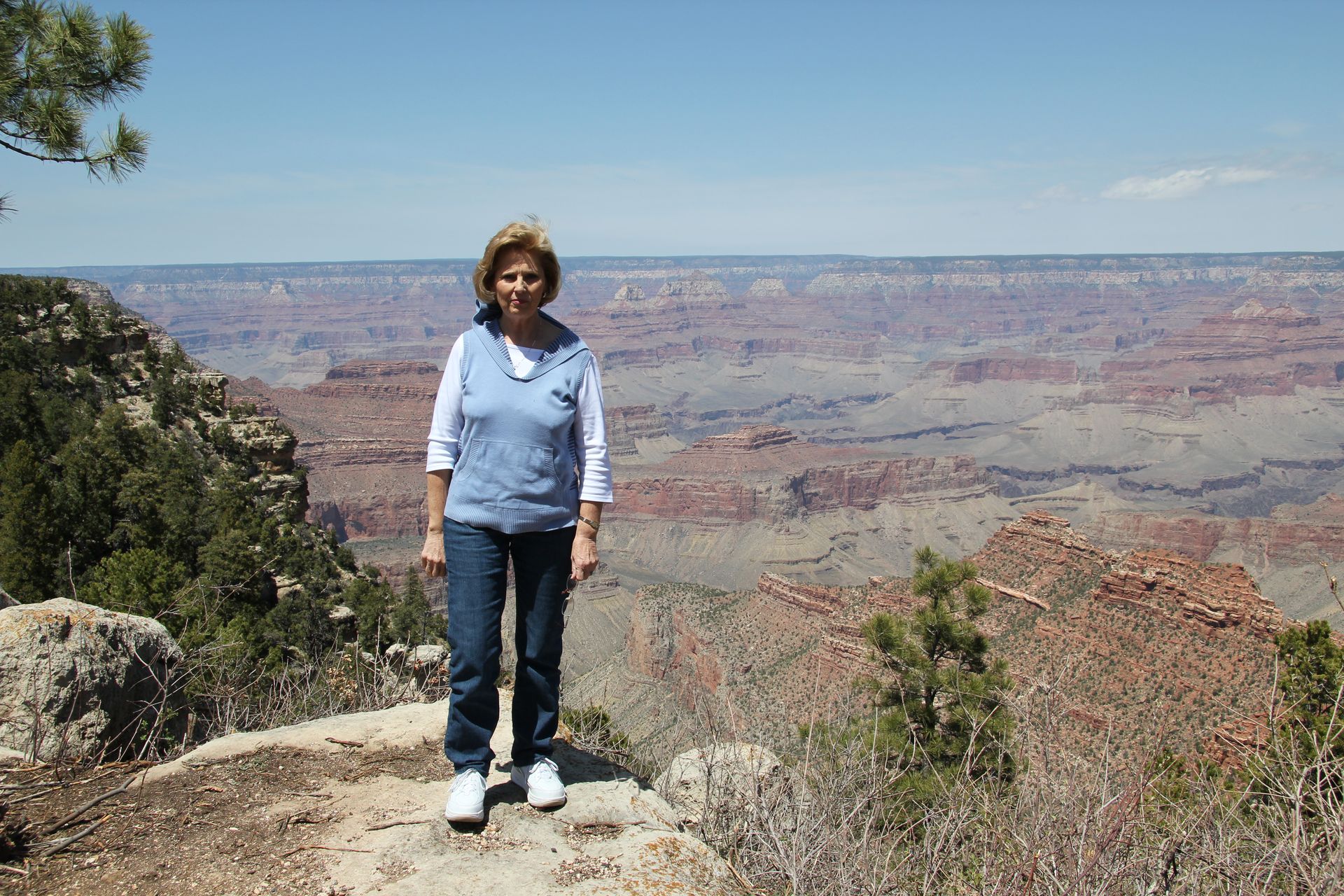
8:00 and took Hwy 180 out of Flagstaff and hit Hwy 64. We arrived at Grand
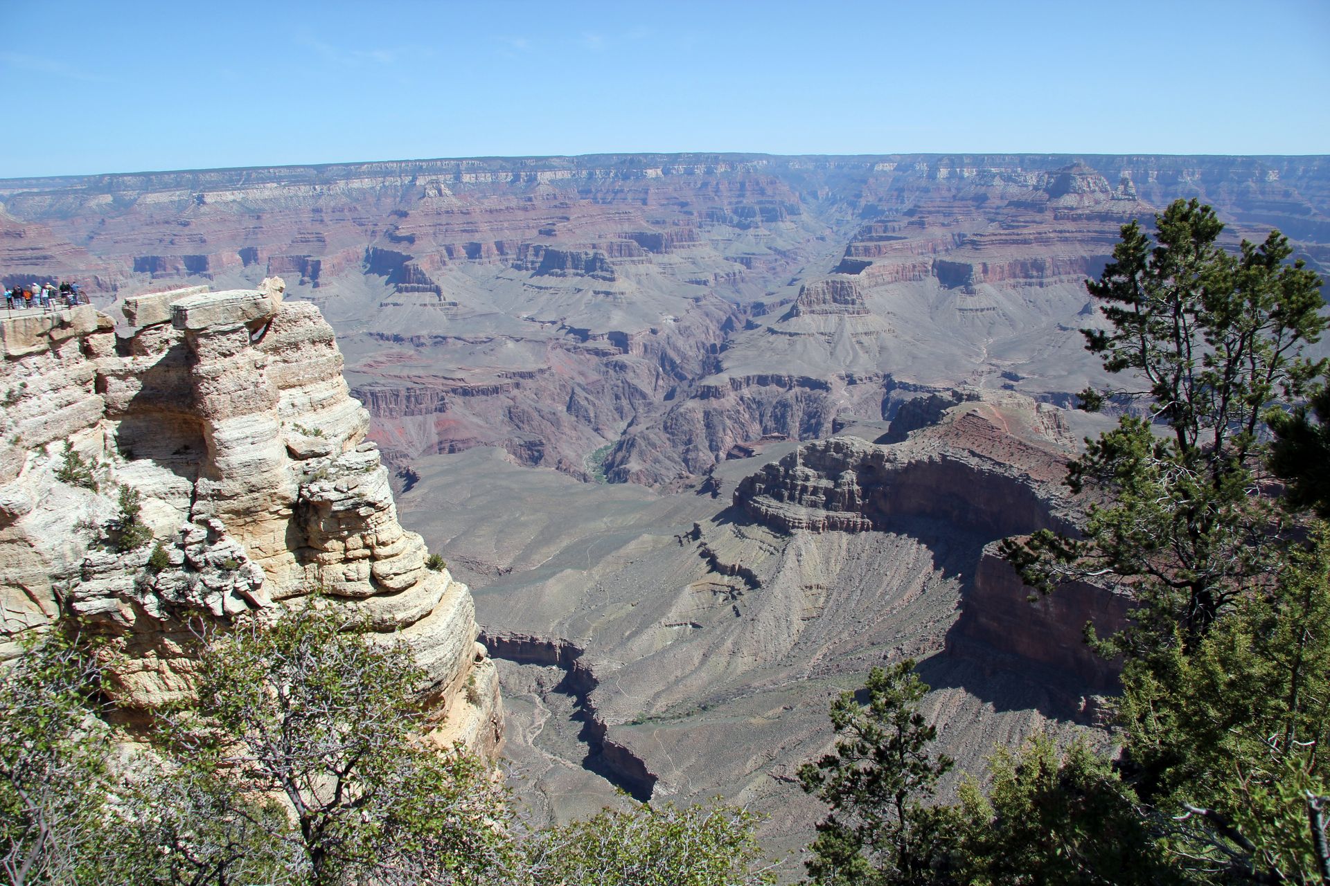
Canyon at 10:00 (after a couple of shopping stops). We went first to
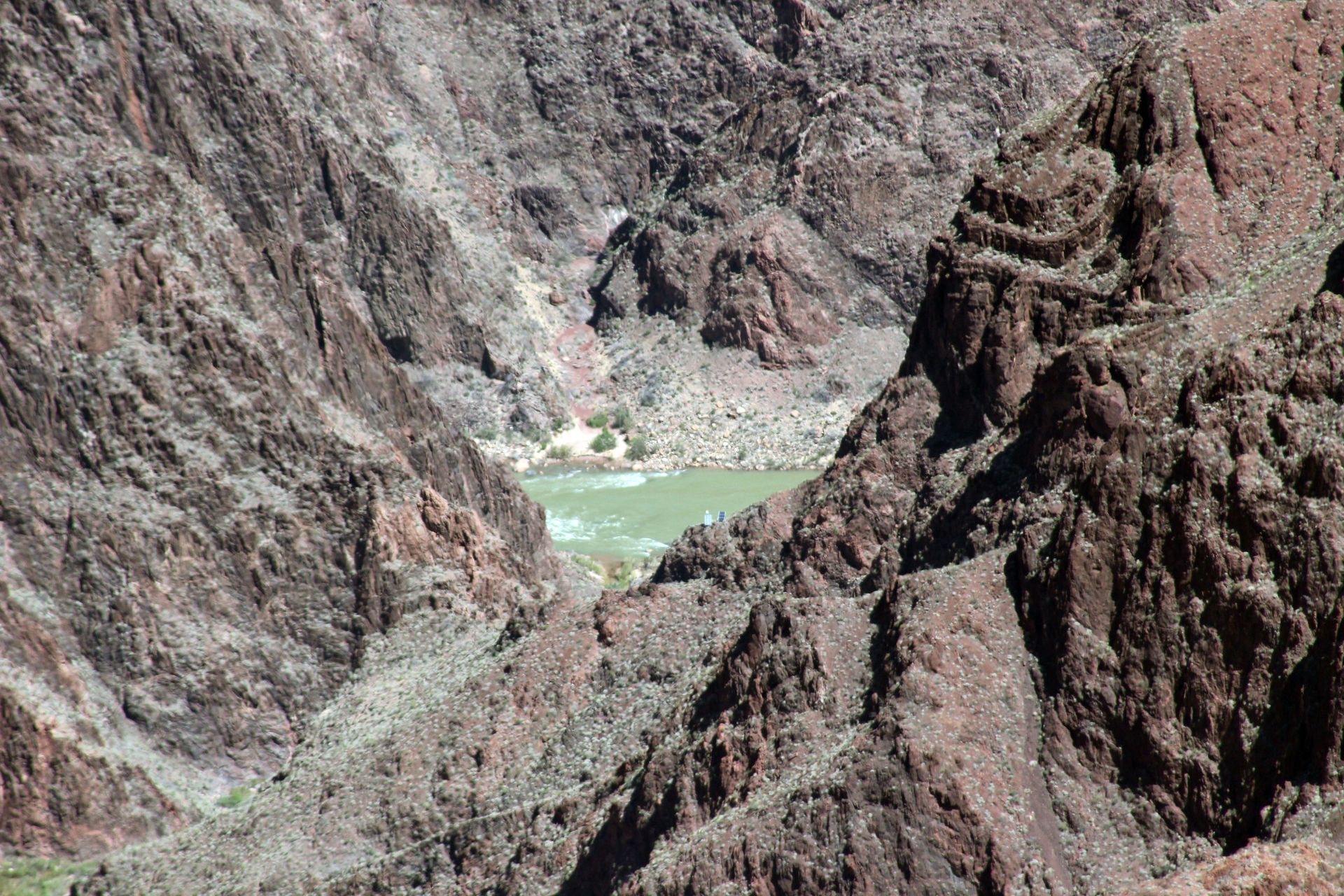
Mather Point and the new Visitors Center. We walked part of the rim and then
drove to the Market Place and had lunch at Canyon Cafe. We did a little
shopping and then took east road along the southern rim to the Watch Tower. We
drove east out of the park and stopped at one of the many Navajo jewelry
stands. I guess the daughter and daughters-in-law know what they will get when
we come home.
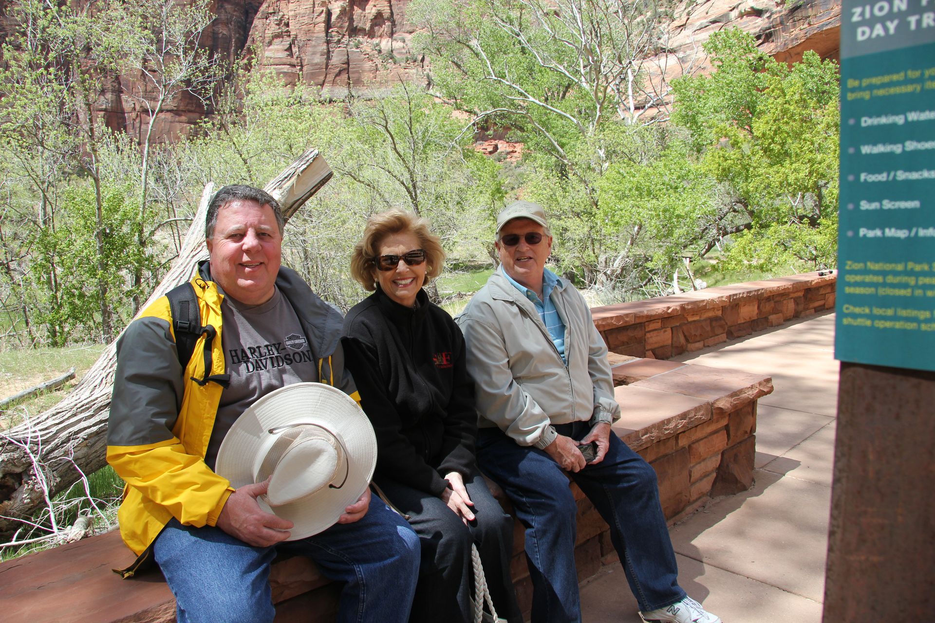
We picked up Hwy 89 at Cameron and drove another 80 miles or so to Page. The drive was spectacular with red rock cliffs and painted desert. We Passed 89A that went over to the Vermillion Cliffs National Monument. If anyone ever has a chance to drive from Flagstaff up 89 to Page and Lake Powell it is well worth the effort. We checked into the Marriott Courtyard at Lake Powell, dropped the luggage and had a great meal at Pinciotti’s Italian-Mexican Restaurant.
We came back and tried to straighten up the van – amazing what a mess 4 adults can make in one day in the van. We will head to Zion National Park on Tuesday if we can figure what time to leave. Because Arizona does not change to daylight savings time, we never know if we are on Mountain or Pacific time. In any case click on the pics below for large view.
Page, AZ to Zion NP (Springdale, UT)
- Day 9, Tue, Apr 26, 2011
- Google Map - 122 miles
- Links
- Along the way
- Springdale, UT
- Bumbleberry Inn, Bumbleberry Home
- Desert Pearl Inn - $158
- Zion Mountain Ranch - $169
- Zion Park Inn - Best Western*
- Utah Hotels
- National Parks
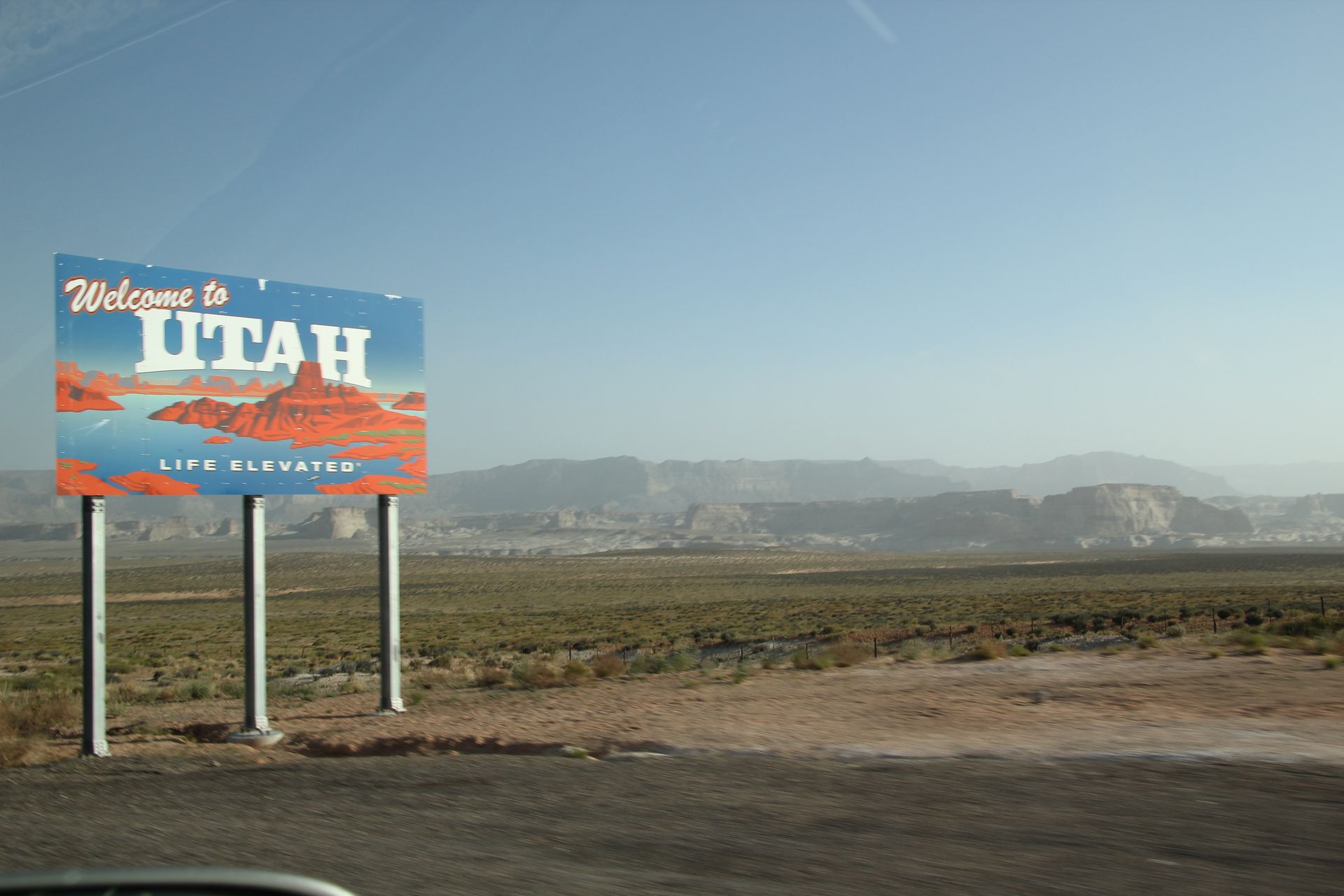
We were up early this morning, packed the car and left Page by 7:15. We drove past Lake Powell on Hwy 89 and crossed over into Utah soon after. We reset our watches to DST (one hour later) – remember Arizona does not change to DST.
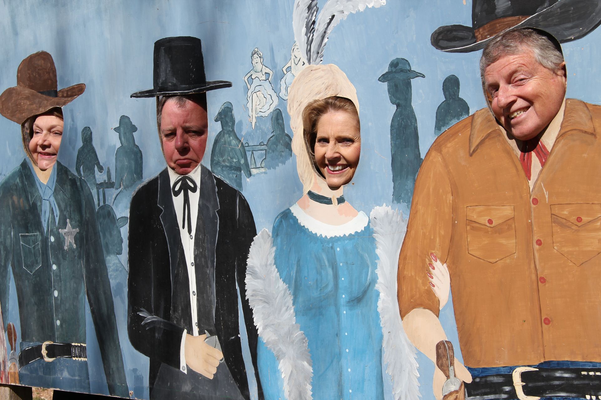
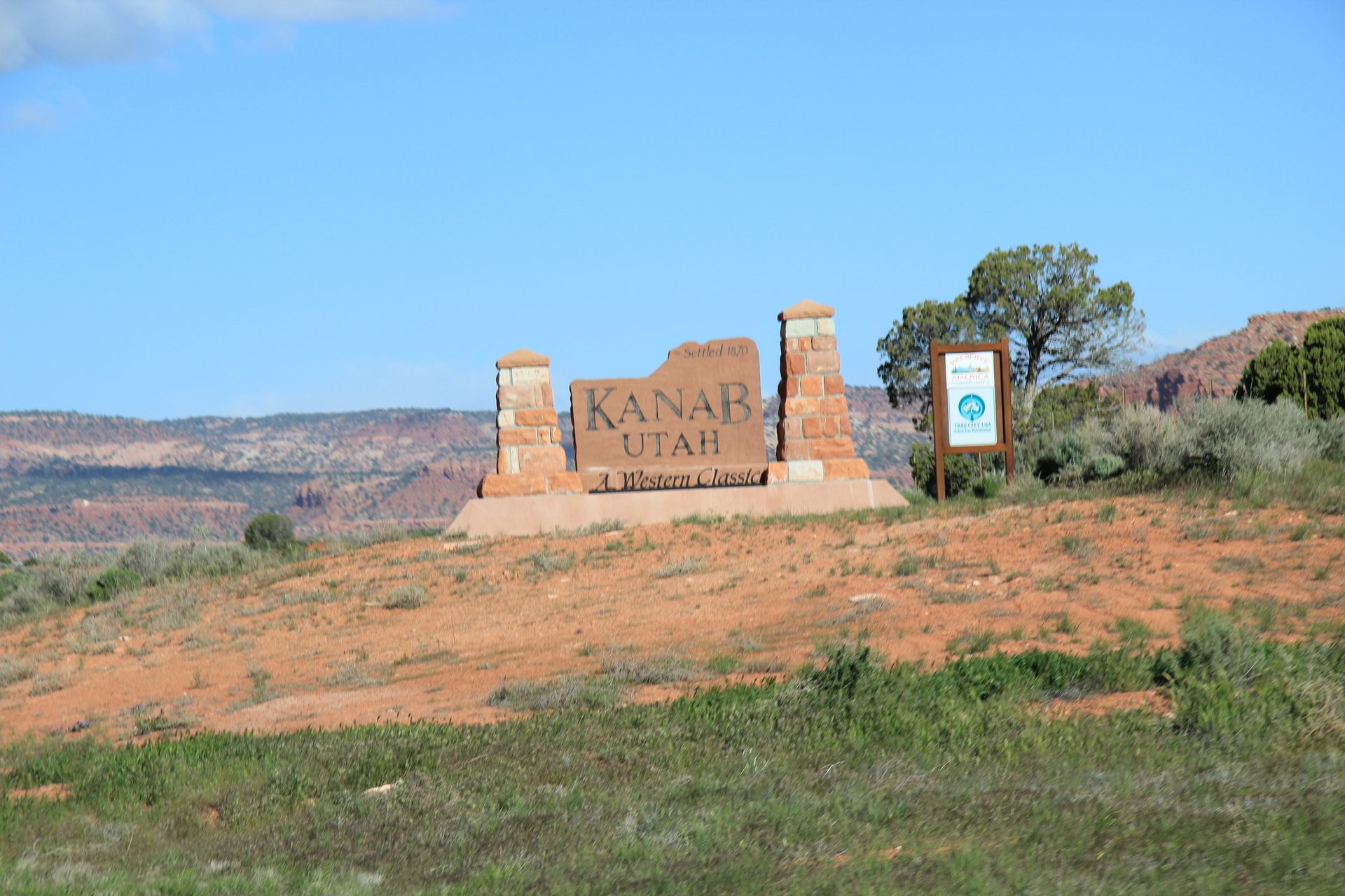
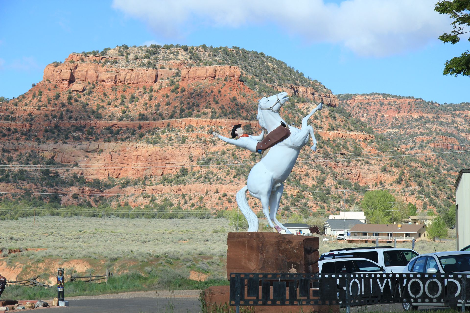
We arrived in Kanab, UT around 10:00 and filled up with gas ($3.84/gal) and got a quick bite at McDonalds. We heard over 60 western movies have been shot in Kanab so we did not hesitate to pull into the “Little Hollywood” to see some of the western movie sets. We went into the store and then outside to the movie sets. We were the only customers so we took a few pics, had a few laughs and imagined Clint Eastwood in The Outlaw Jose Wales riding across the prairie with the red rock formations in the background. Of course we bought some souvenirs.
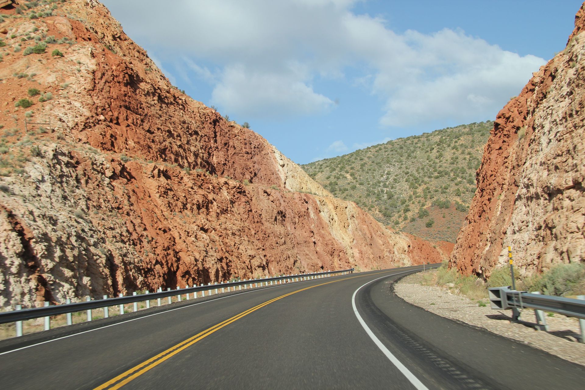
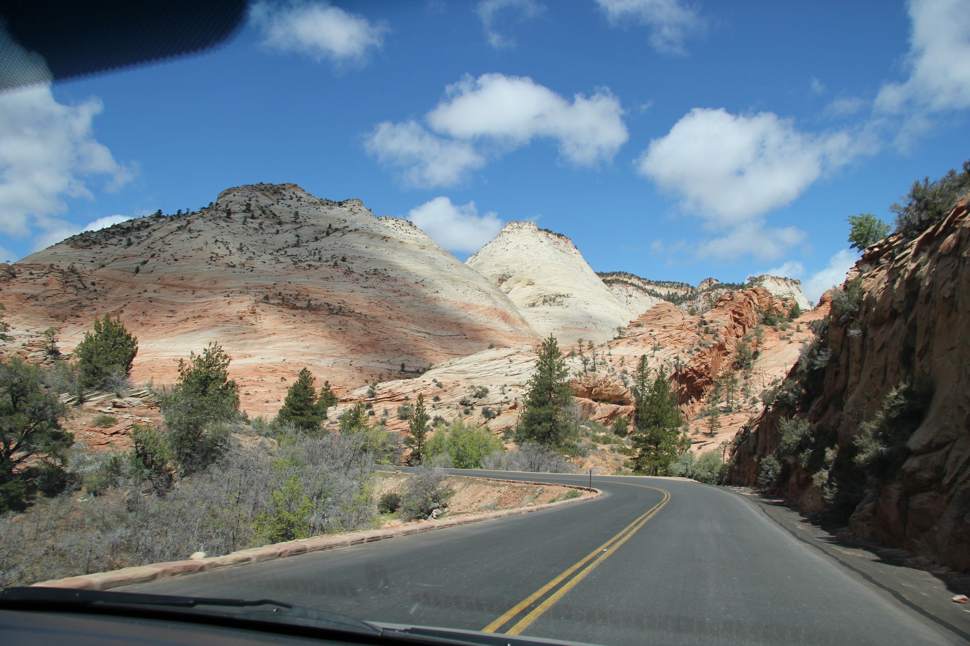
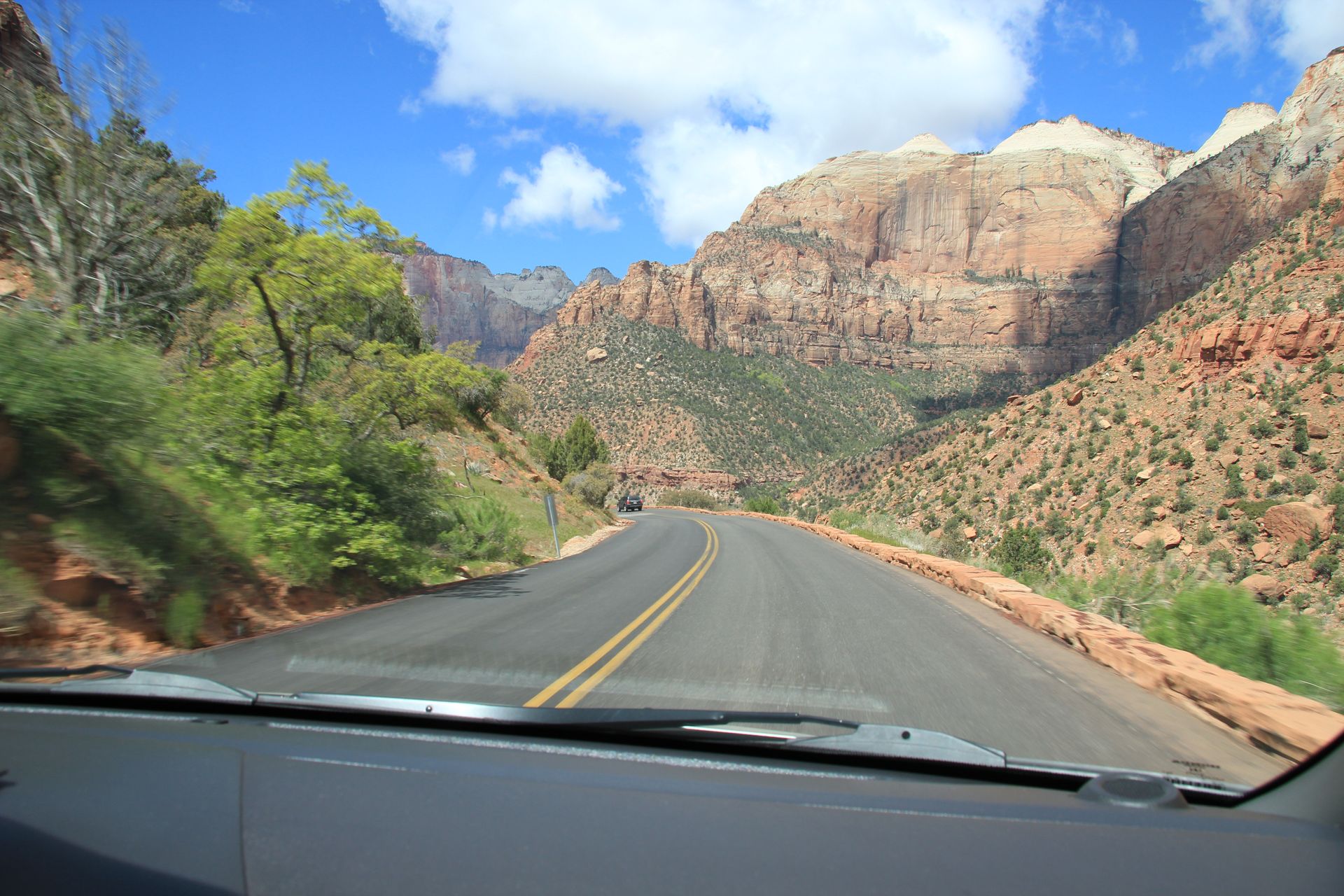
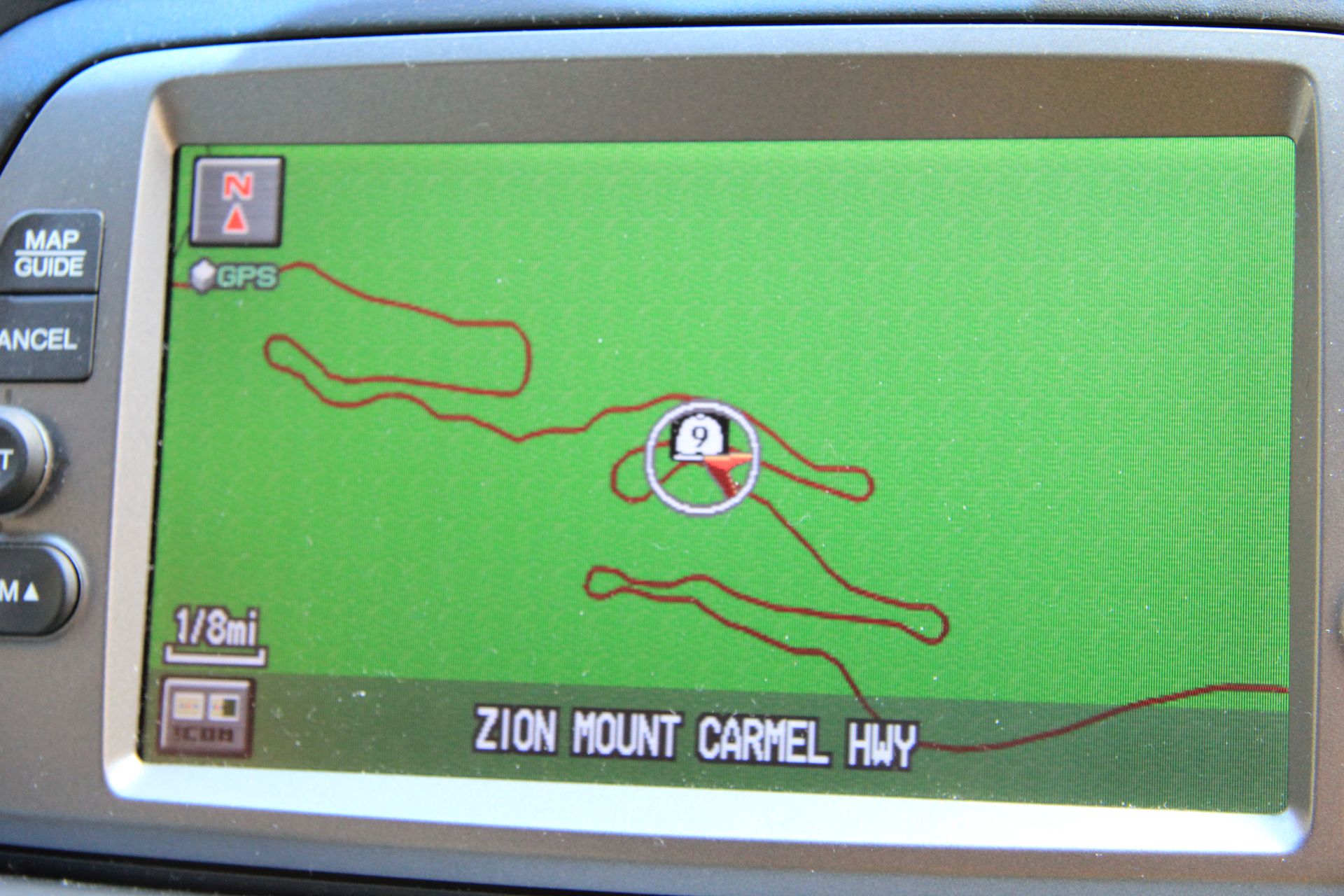
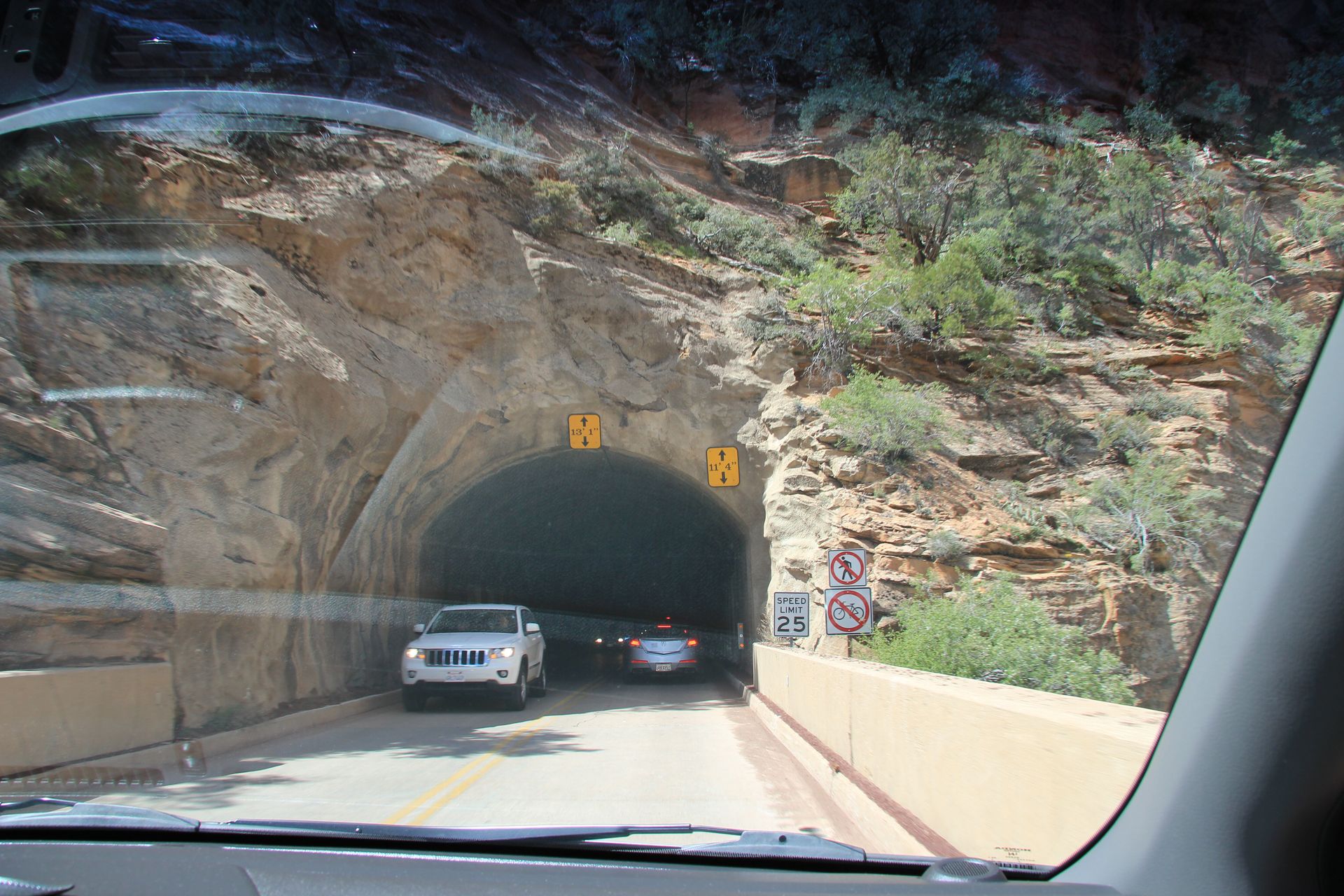
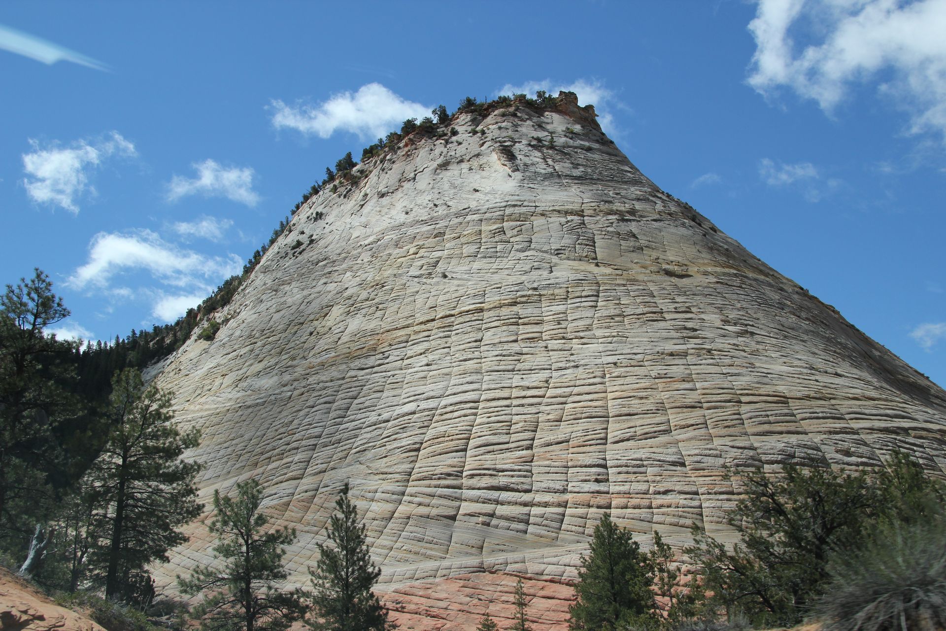
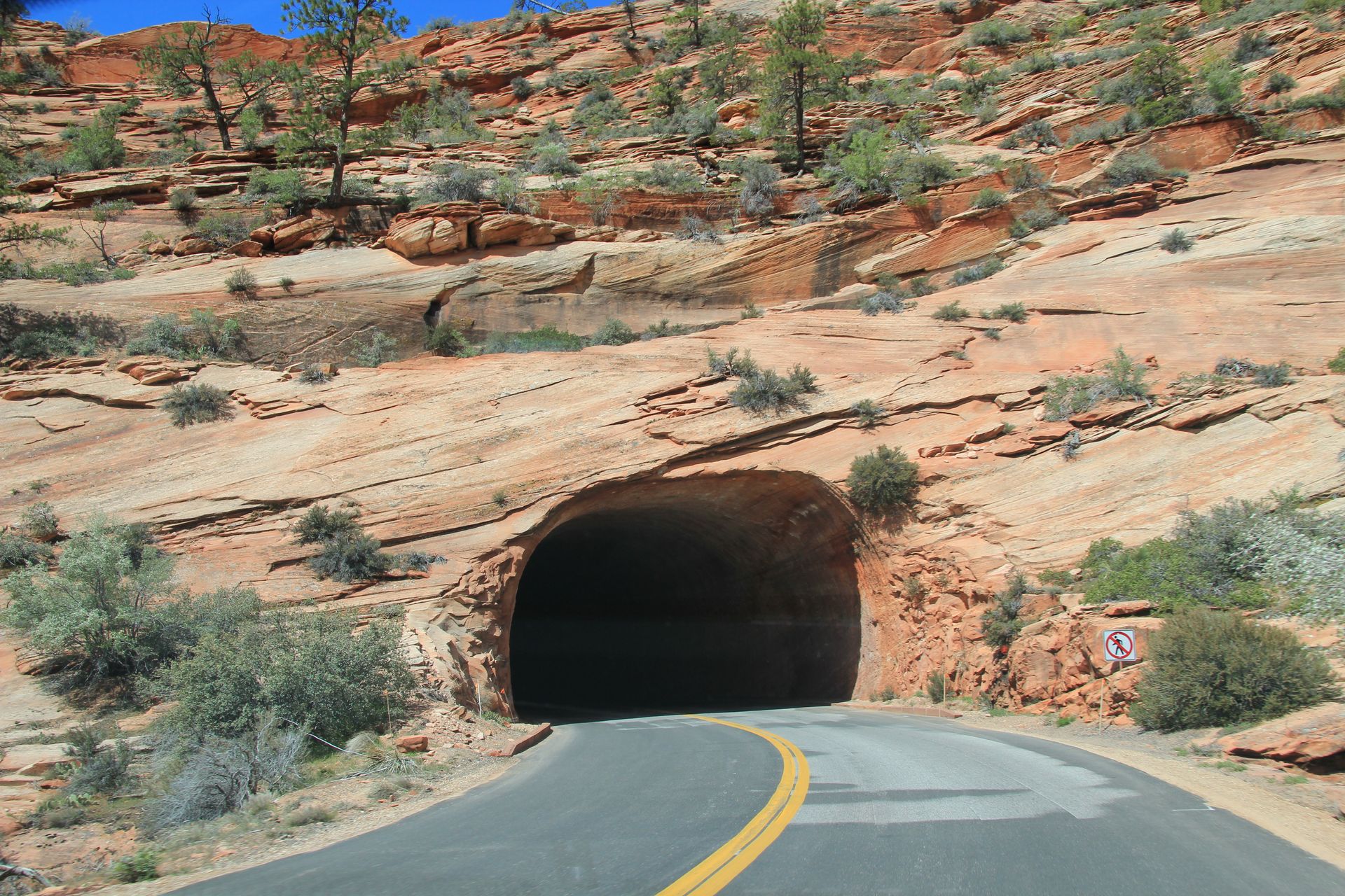
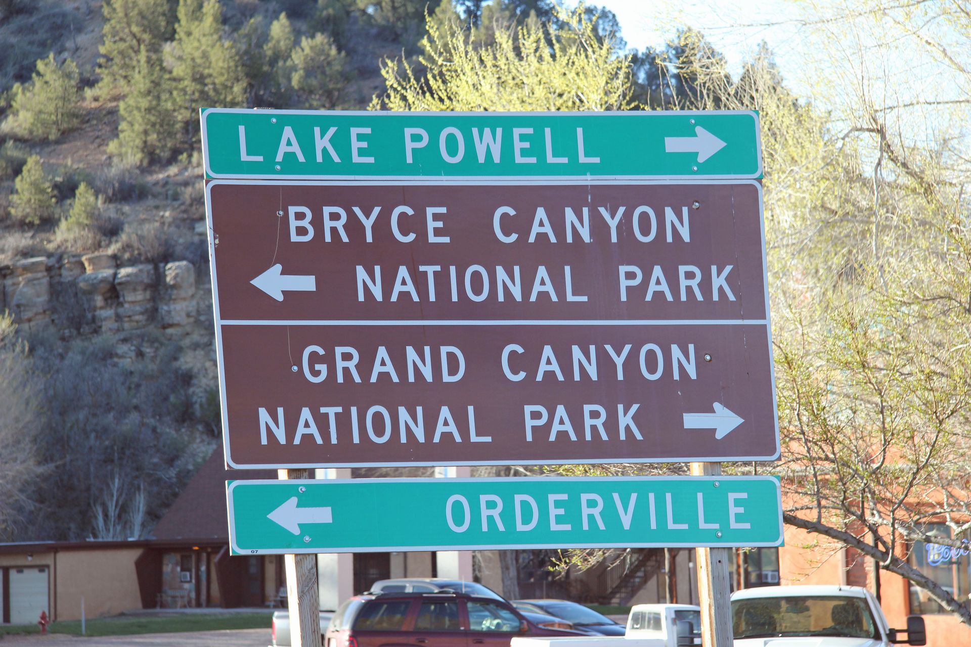
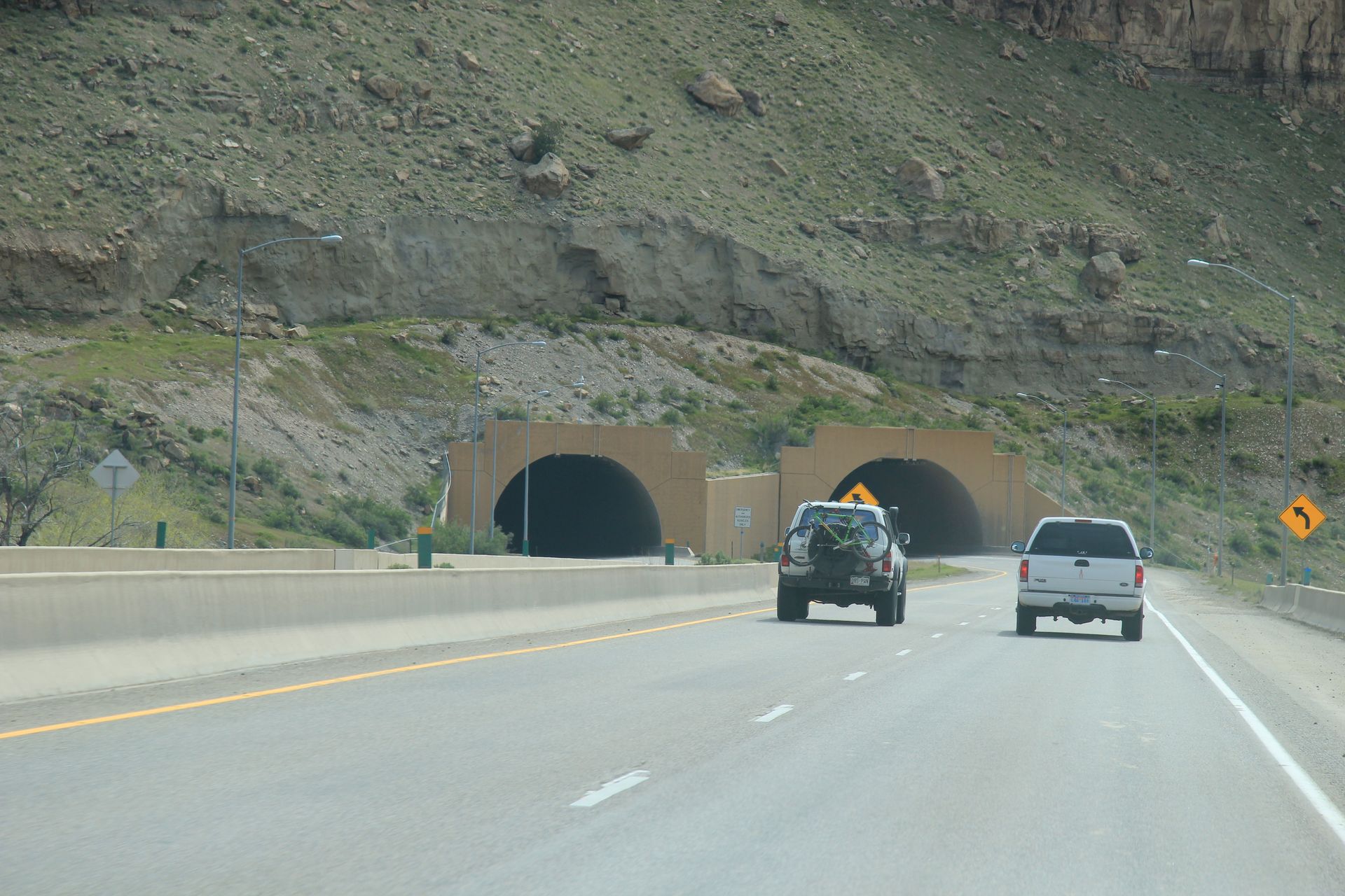
The nice lady at the store said we should visit Coral Pink Sand Dunes that was only 12 more miles south of 89. So we were gullible and drove the 24 mile round trip. Unless you have an ATV there is not a lot to see – we strained to see the color of the sand – looked yellow to us. We picked up 89 again and drove to Mt Carmel to pick up Hwy 9 to Zion National Park. You enter the park about 12 miles before you get to Springdale and the formations are amazing. There are 2 tunnels (1 short one and 1 that is 1.1 miles in length) and then the road makes several switchbacks as you get near the Visitor’s Center.
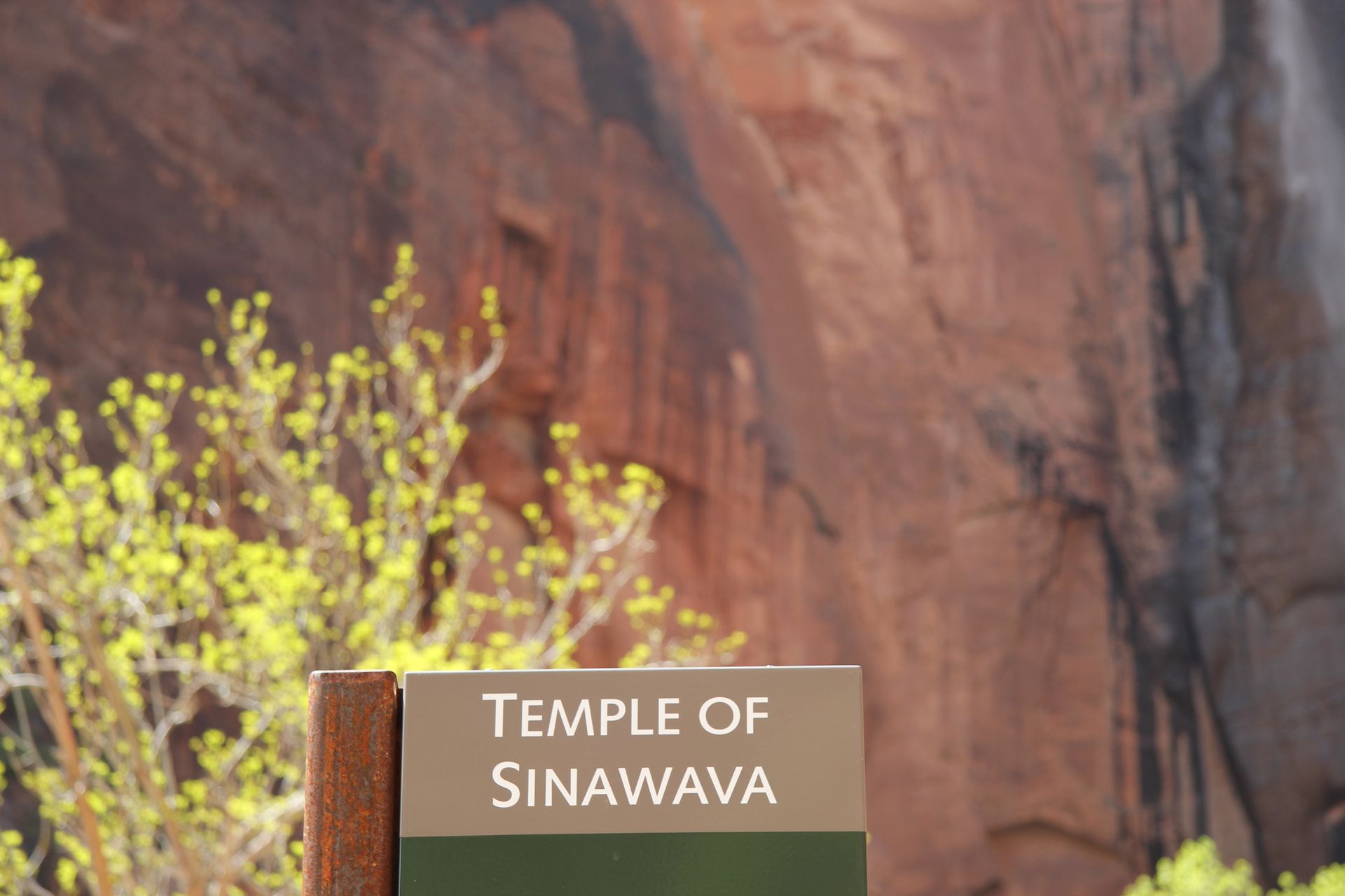
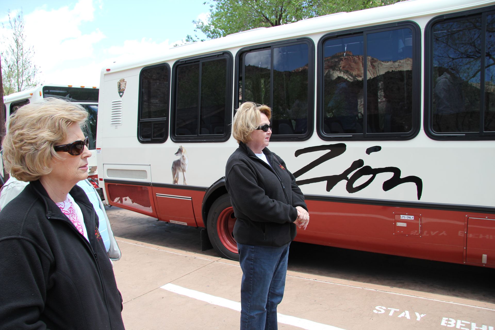
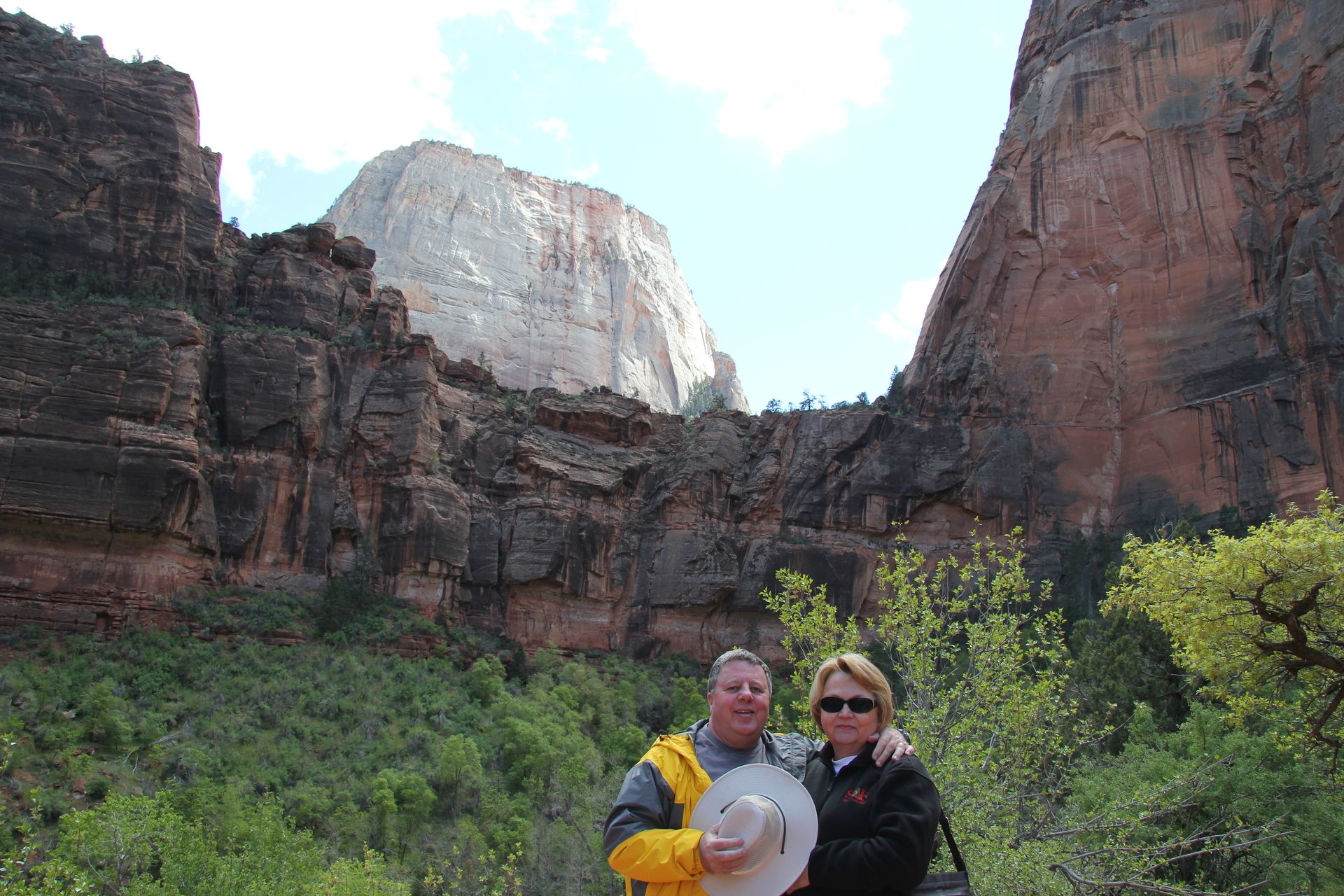
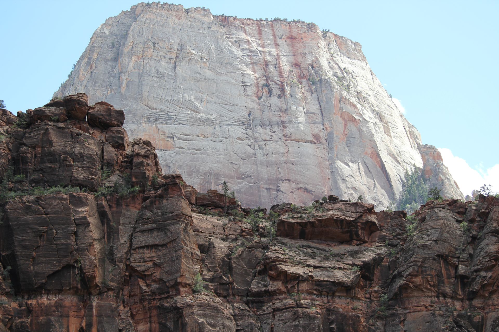
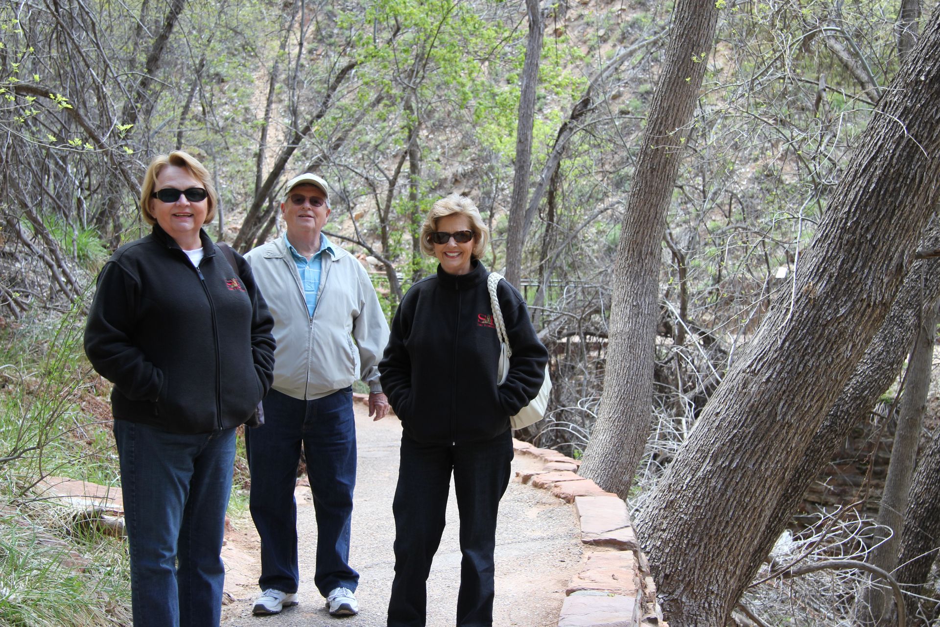
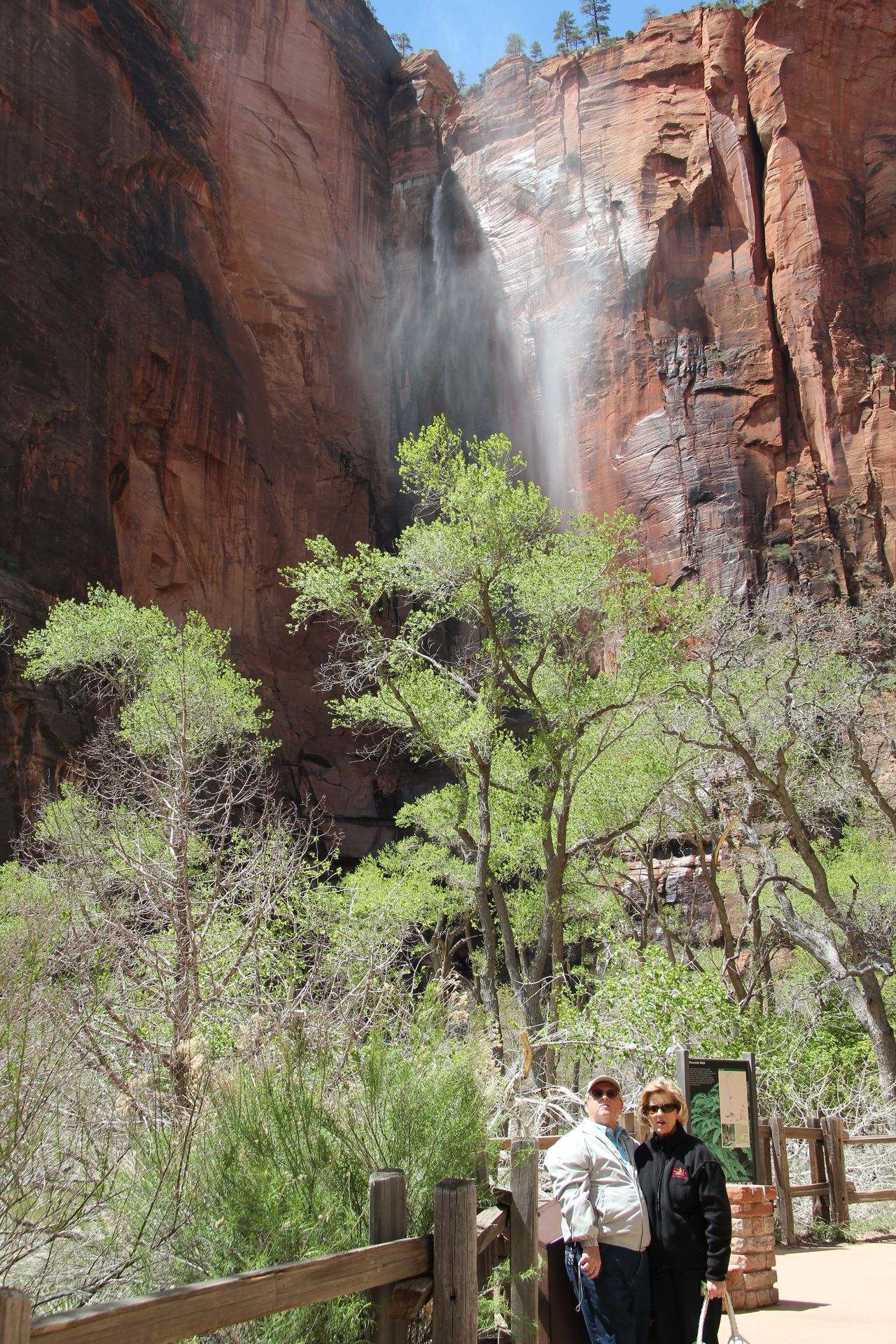
We arrived at the Visitor’s Center around noon, picked up some information and then drove to the shuttle parking lot. Cars are not allowed in the park – the road is too narrow for a lot of traffic. We grabbed a shuttle and stopped off at the Human Museum for a short video of the park and then went to Temple of Sinawava and took some pics of a small waterfall and some of the rock formations. We grabbed the shuttle and stopped at the Cathedral which has 3 rock formations - the Organ, the White Throne and the Angel’s Landing. We got on next shuttle and jumped off at Weeping Rock. We took a short ½ mile hike up to the rock and got a little wet as we walked under some of the “weeping”. We walked back down, grabbed the shuttle and got off at Court of the Patriarchs, which are 3 formations named Abraham, Isaac and Jacob.
Zion is absolutely beautiful and there is no way a camera can
capture the sheer magnitude of the size of the formations. You will just
have to visit yourself. We grabbed the shuttle back to the Visitor’s
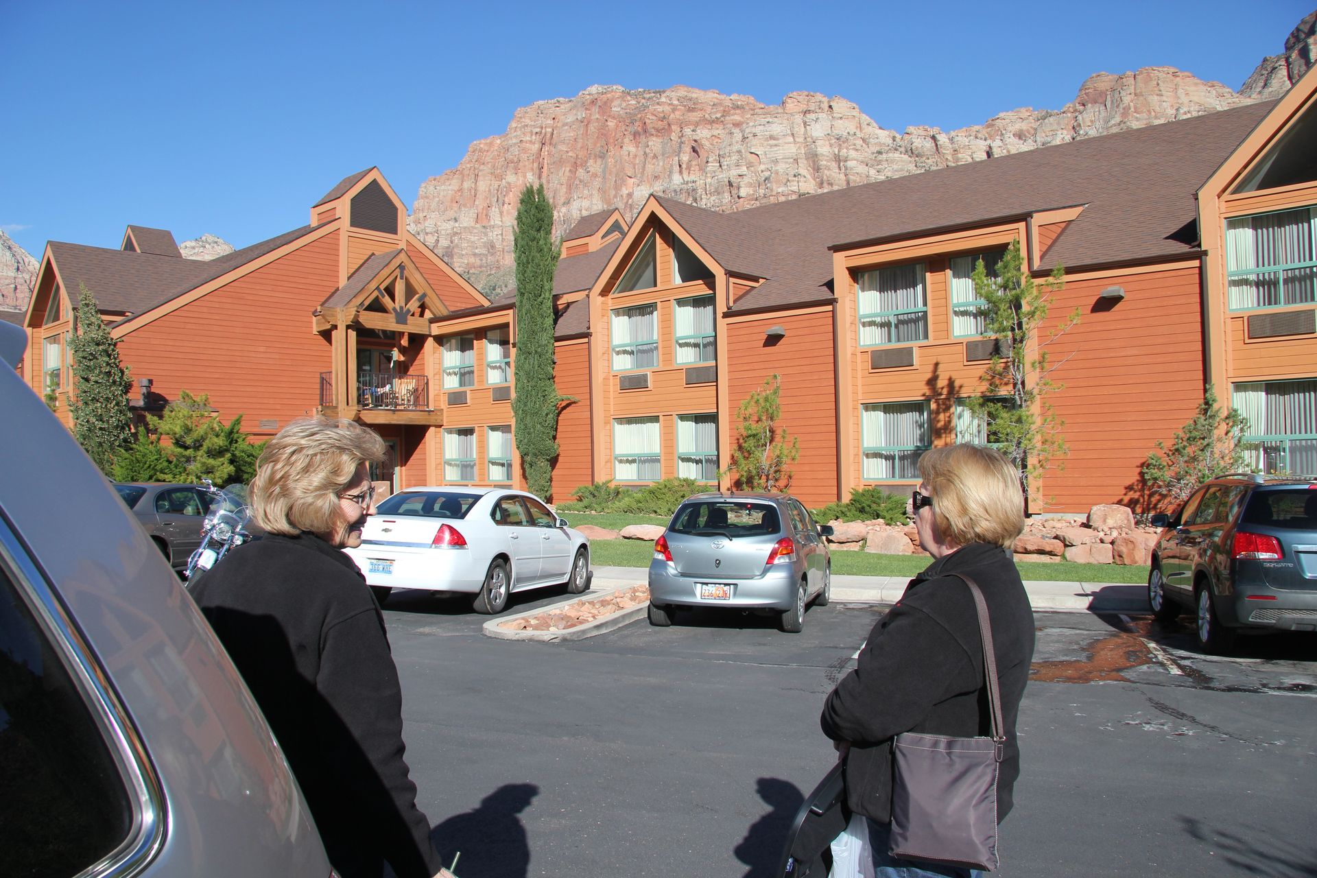
Center, picked up the car and drove into Springdale to check into
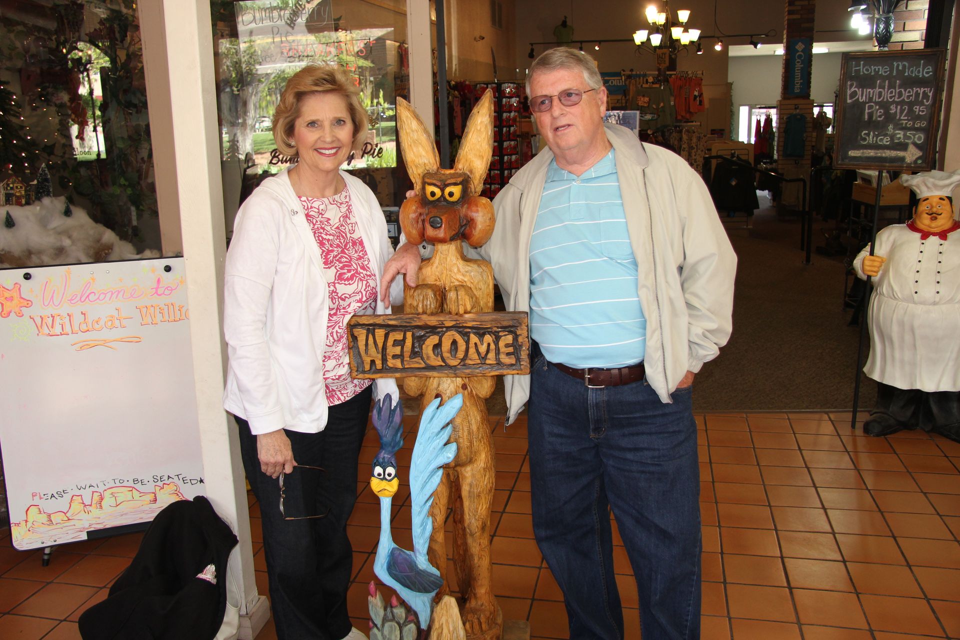
hotel. After unloading the car, we had dinner at Wildcat
Willie’s. I had some great buffalo meatloaf – the others fish and
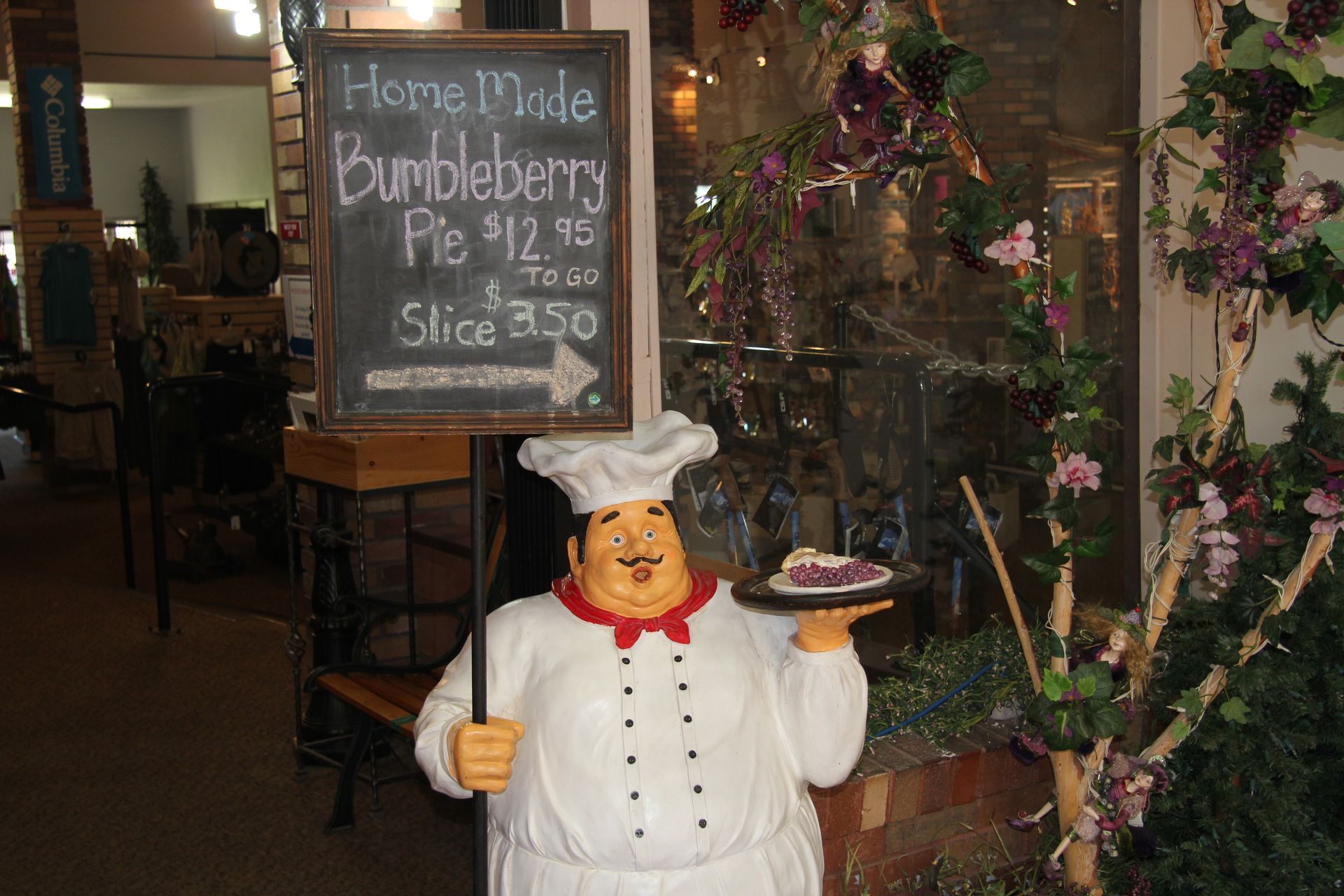
chips. We went next door and had some Bumbleberry pie and ice cream….you
have to figure out what a bumbleberry is. So another day is in the book
and we’ll head out to Bryce Canyon National Park and look for some hoodoos on Wednesday. Please sure to click on the picture below for a
larger view.

Zion NP to Bryce Canyon NP (Ruby's Inn, Tropic)
- Day 10, Wed, Apr 27, 2011
- Google Map - 84 miles
- Links
- Along the way
- Rubys Inn or Tropic, UT
- Rubys Inn
- Best Western Bryce Canyon Grand Hotel*
- Some photo ops
- Rent ATVs
- Bryce Canyon Inn - Tropic
- Stone Canyon Inn - Tropic
- Bryce Country Cabins
- Utah Hotels
- National Parks
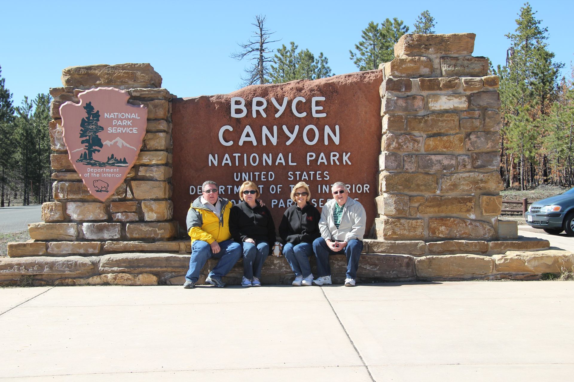
- Bryce Canyon National Park - Utah
- Bryce Canyon N.P. - NPS
This will be short blog as it is getting late tonight. We left Springdale, AZ at the entrance of Zion and drove to Bryce National Park, which was only 83 miles away. We stopped in Mt Carmel Junction and had a great breakfast at the Thunderbird Restaurant, famous for their “ho-made” pies.
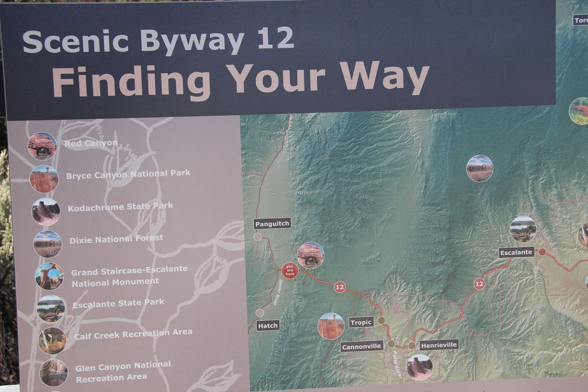
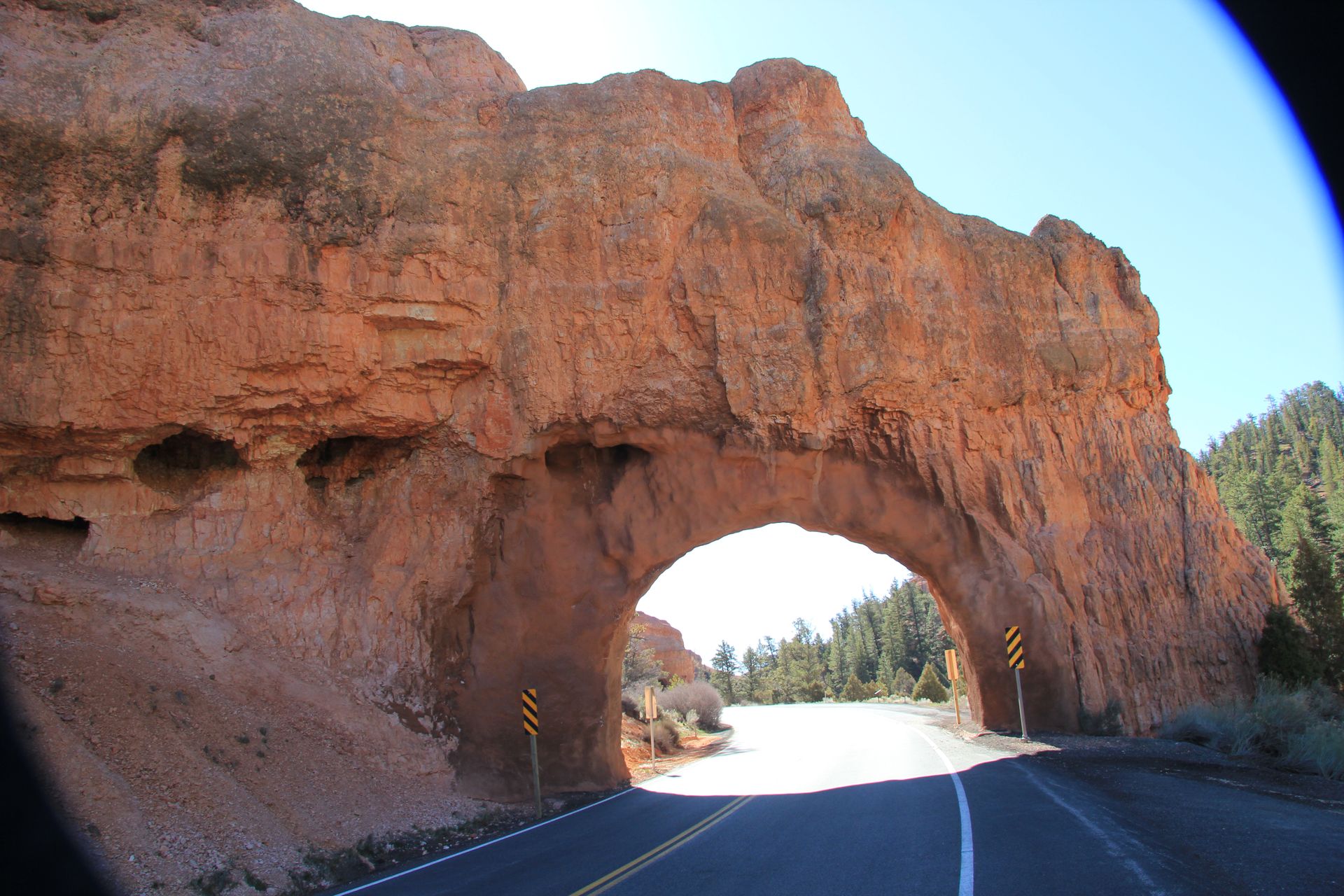
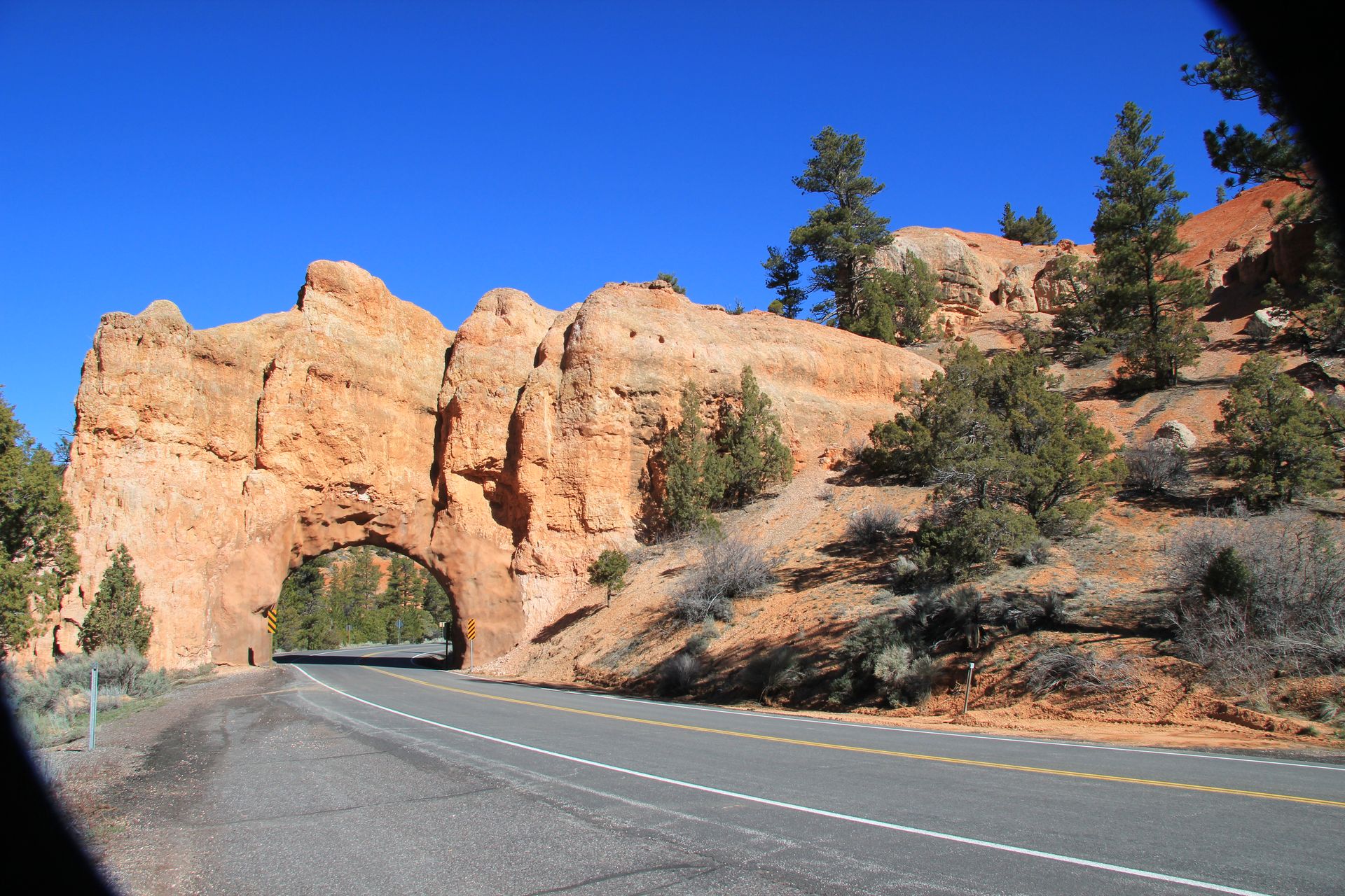
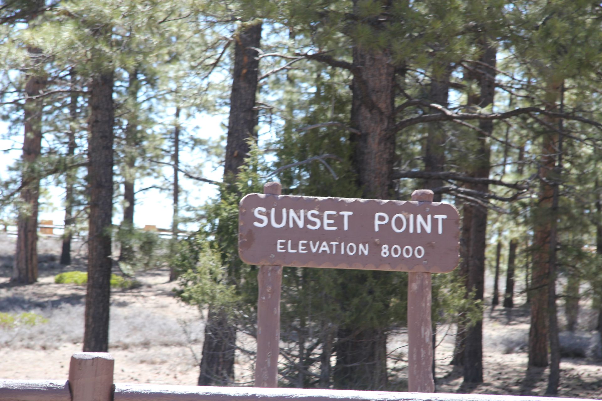
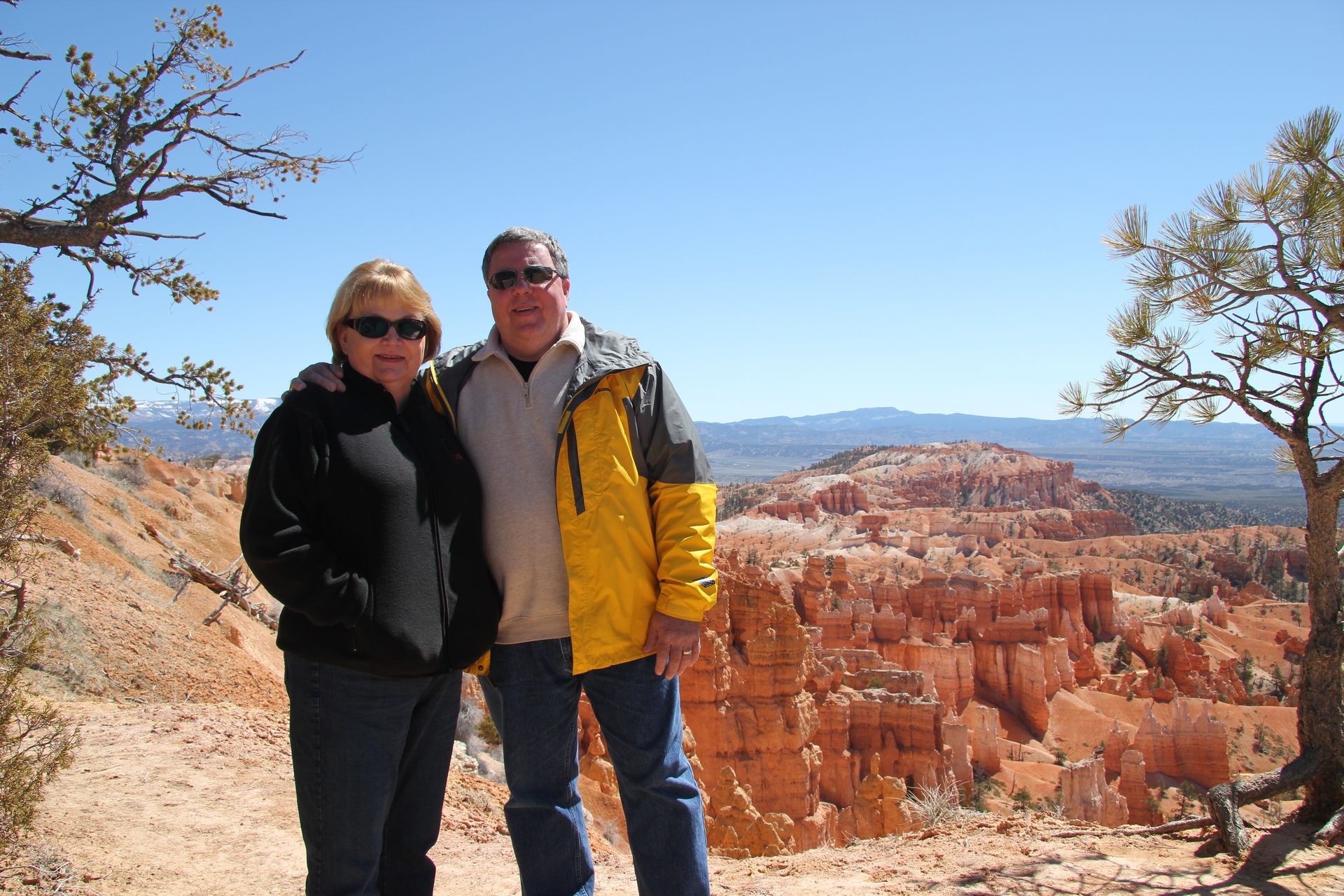
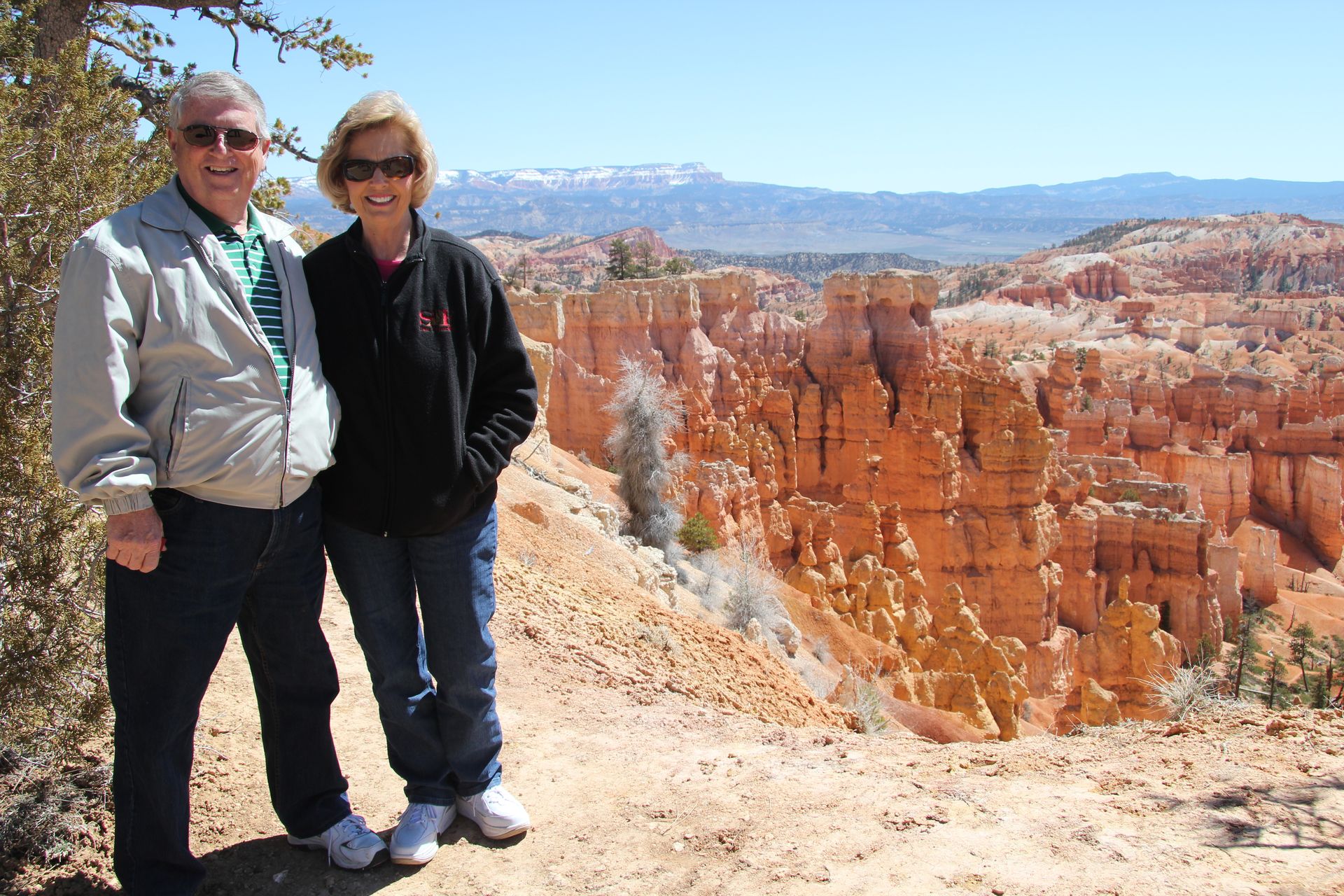
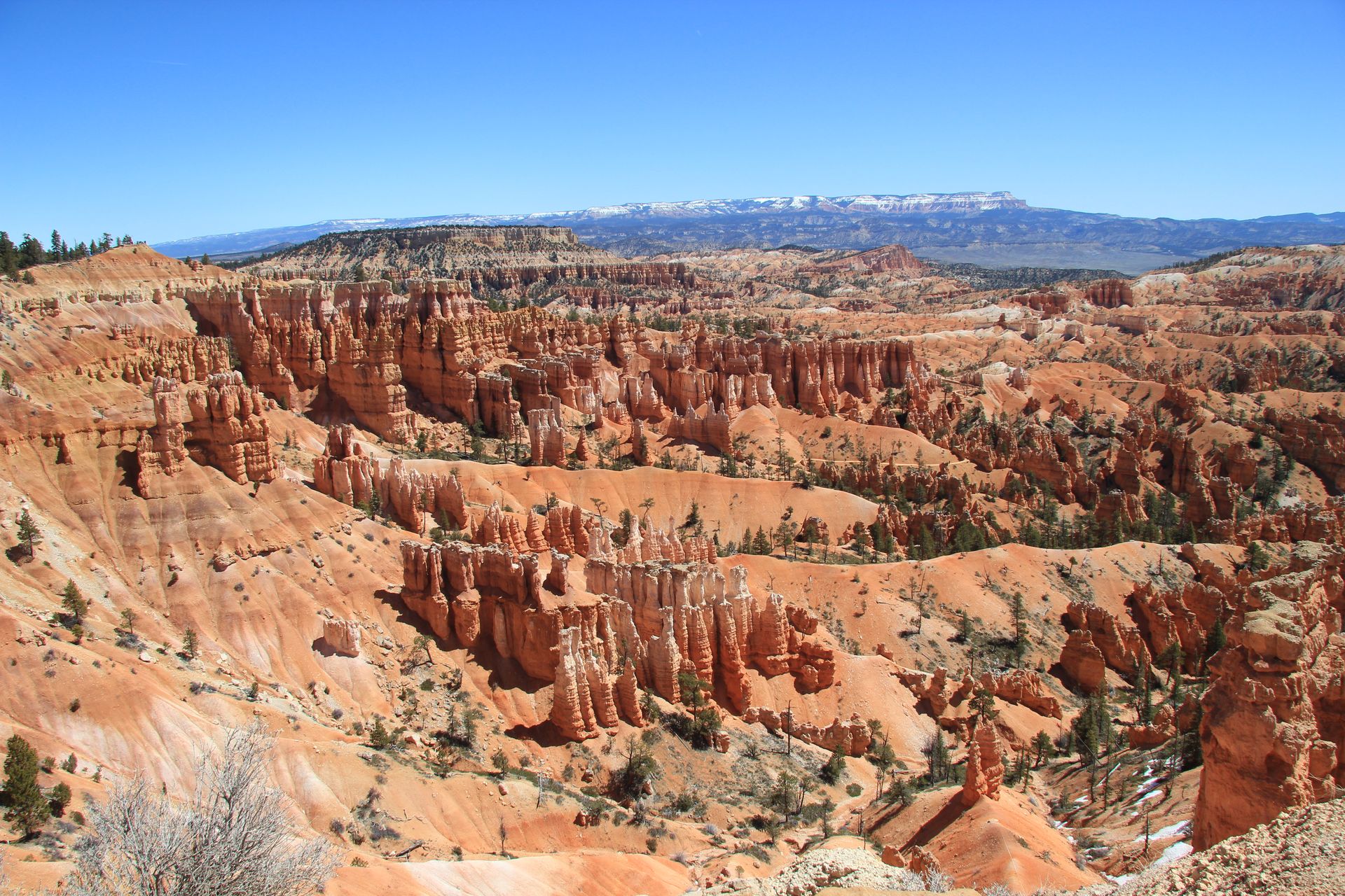
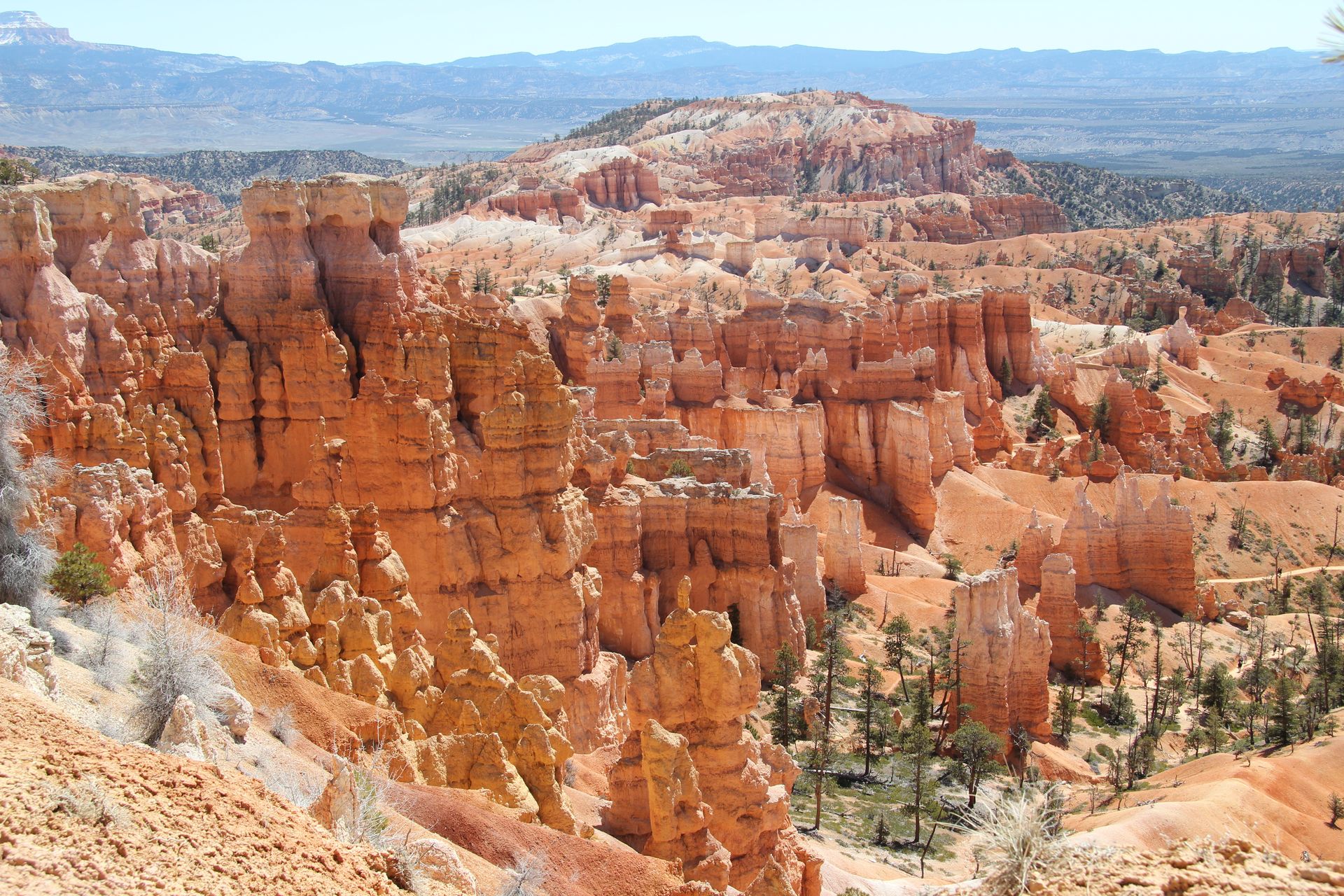
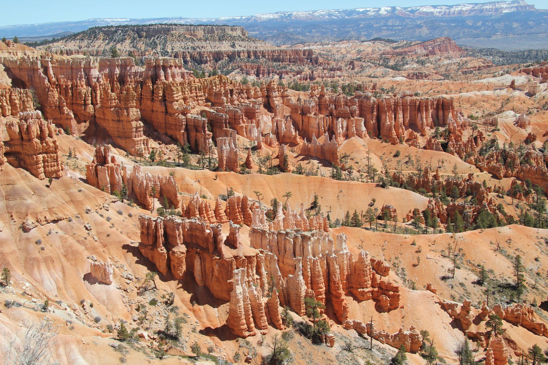
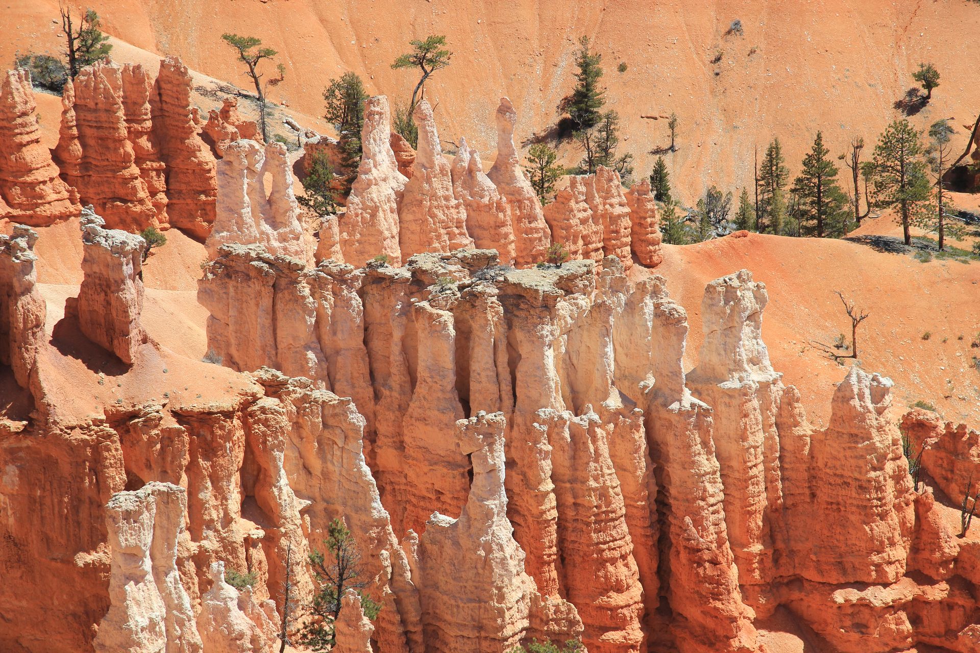
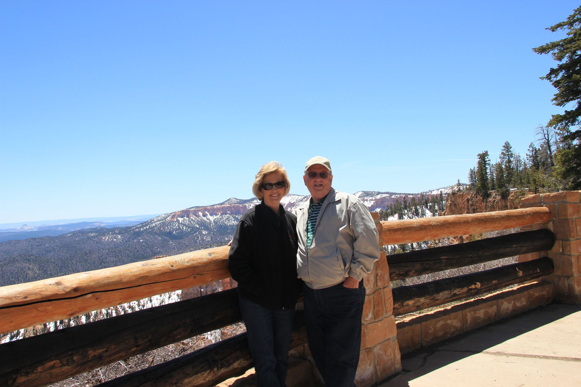
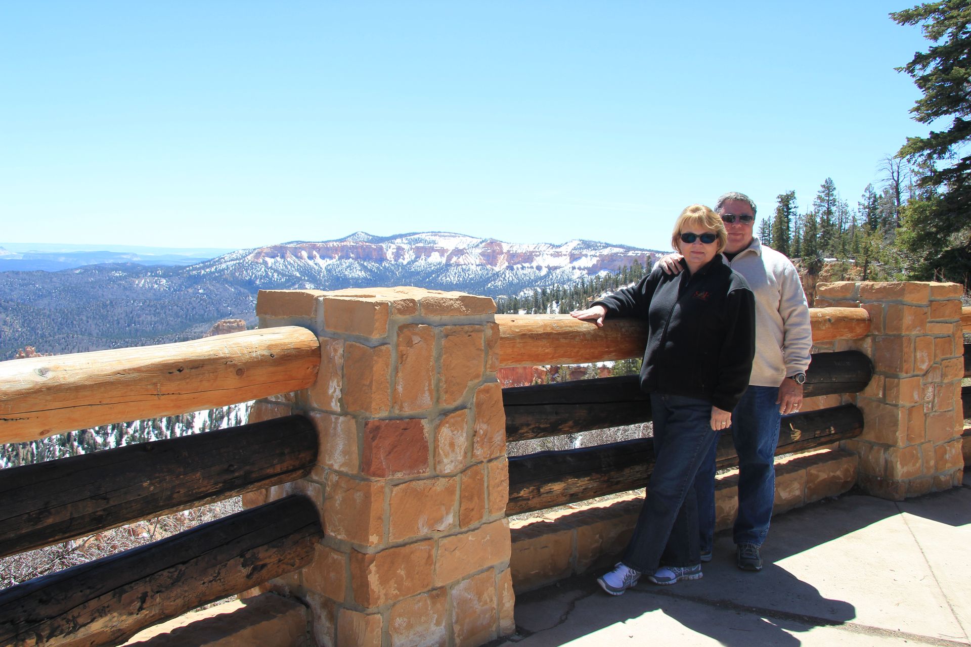
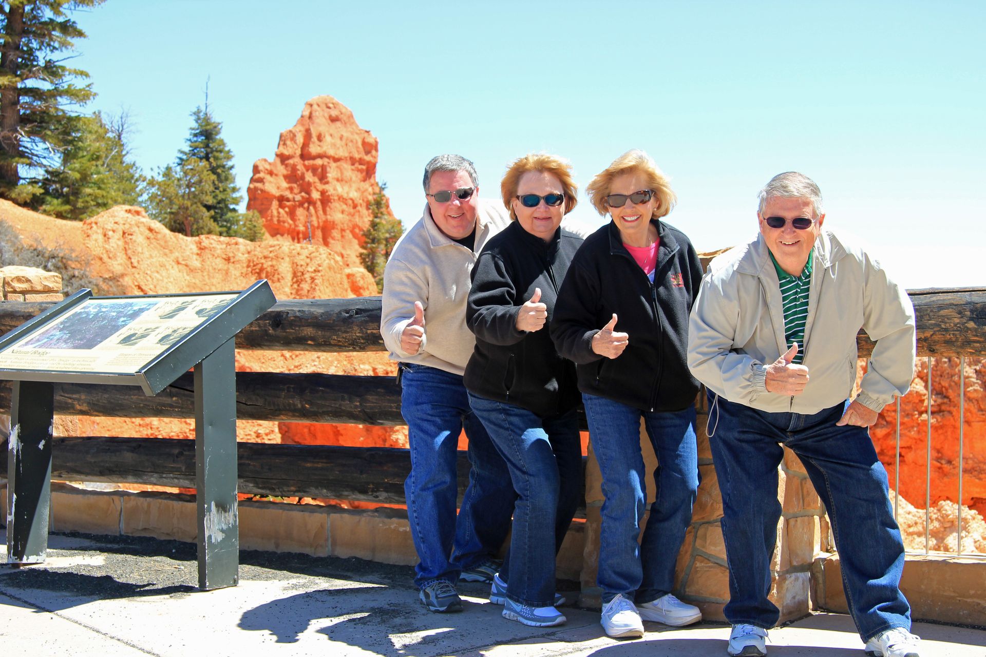
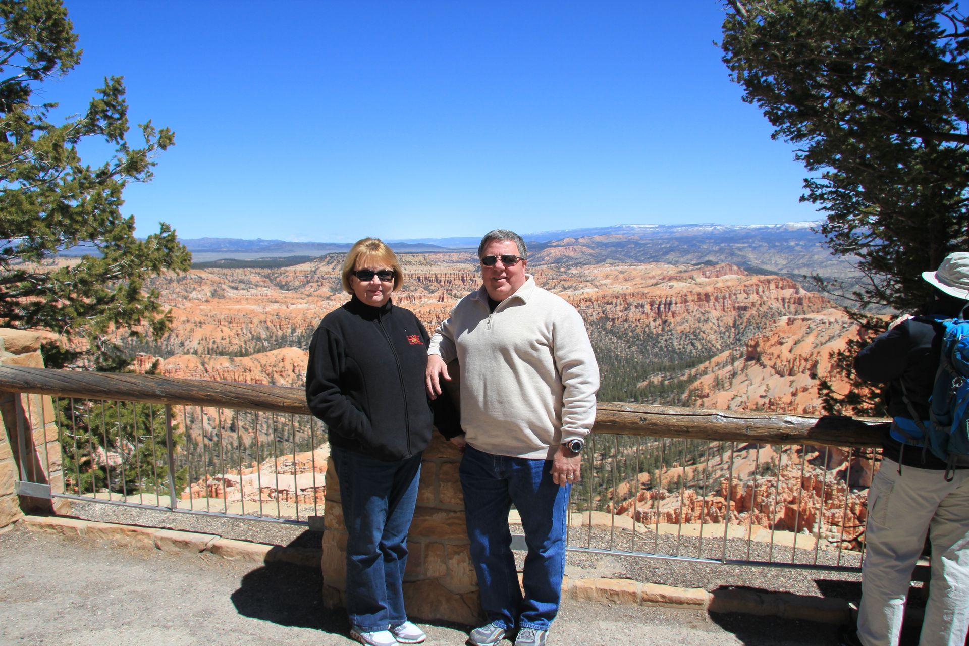
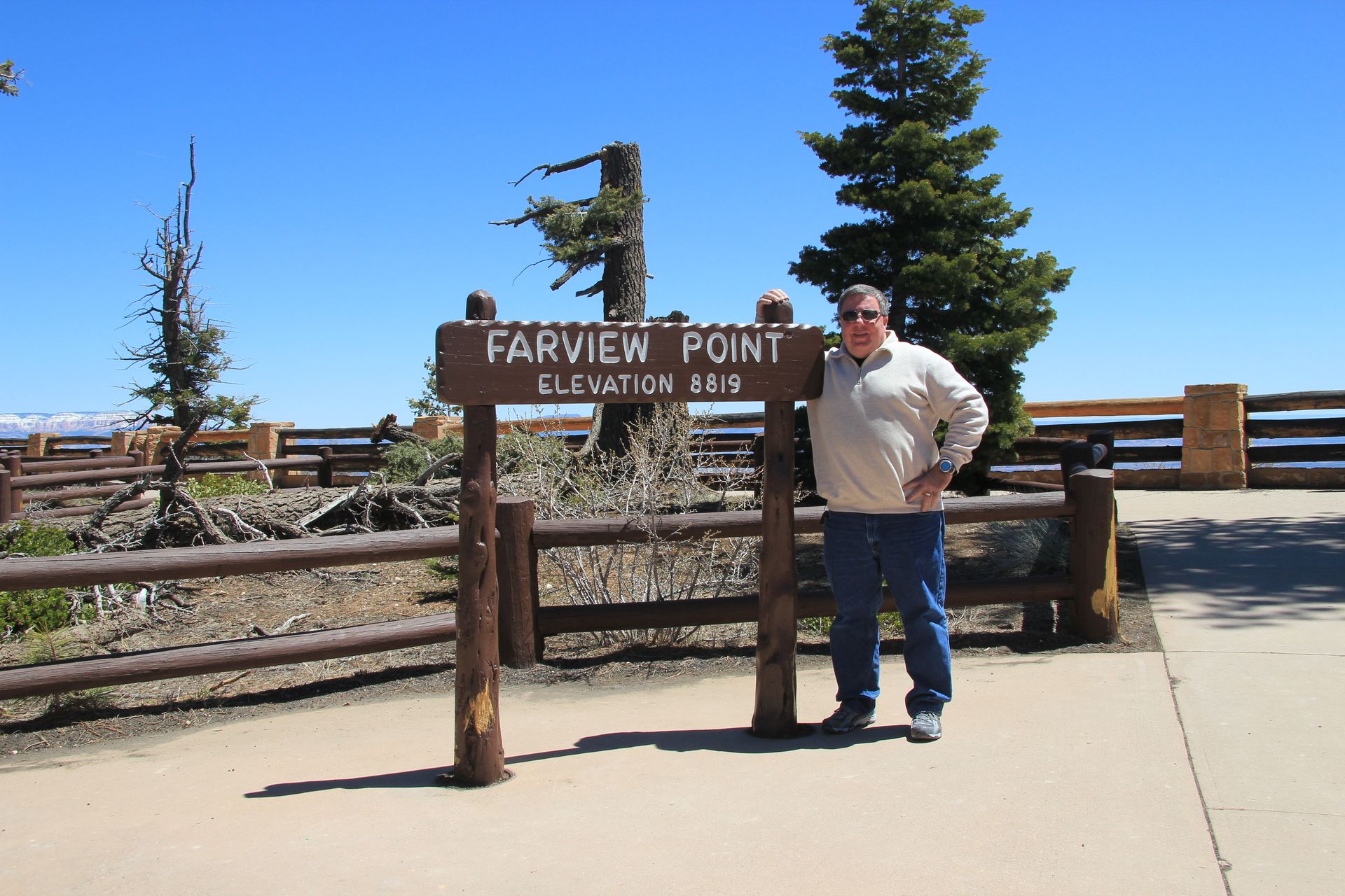
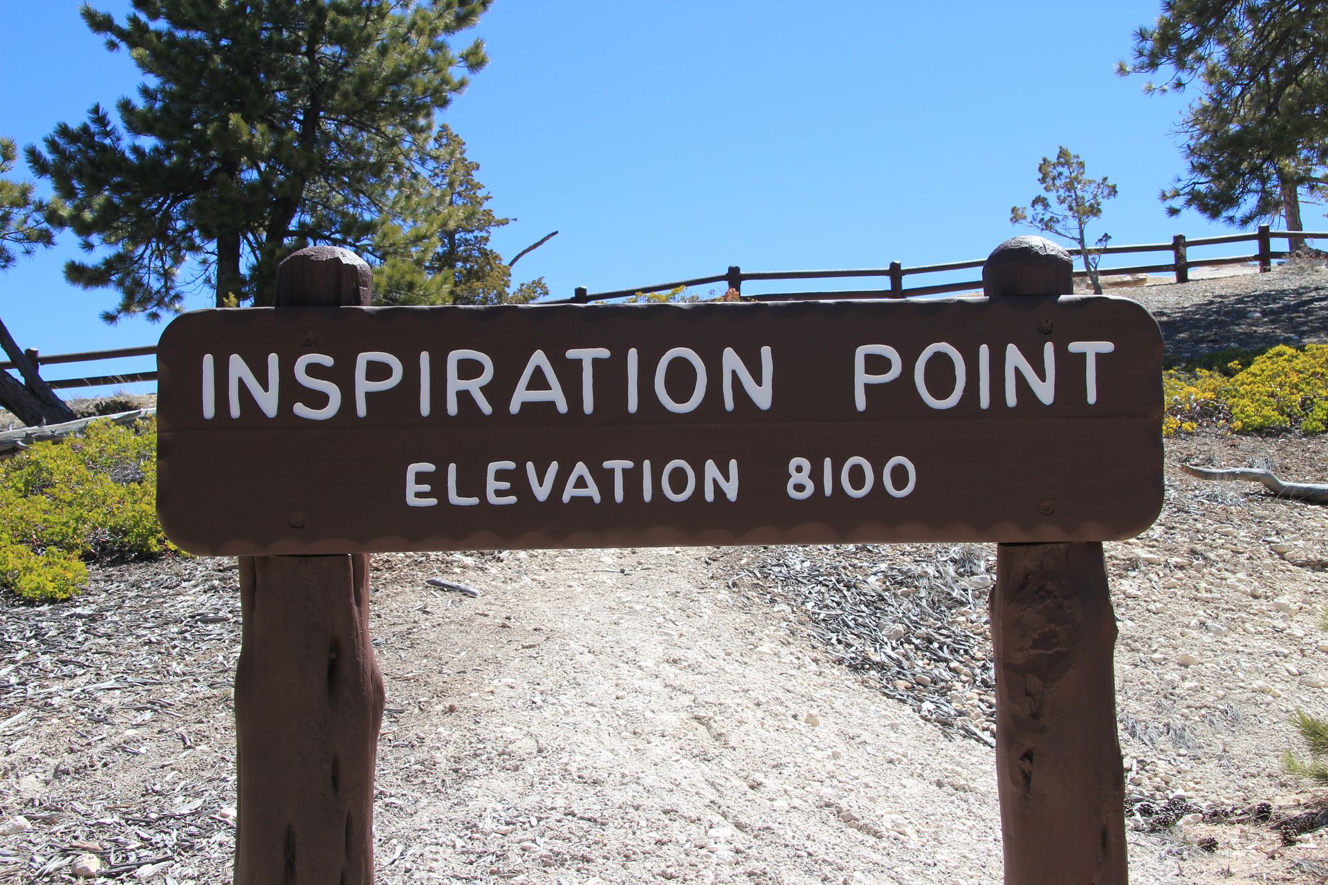
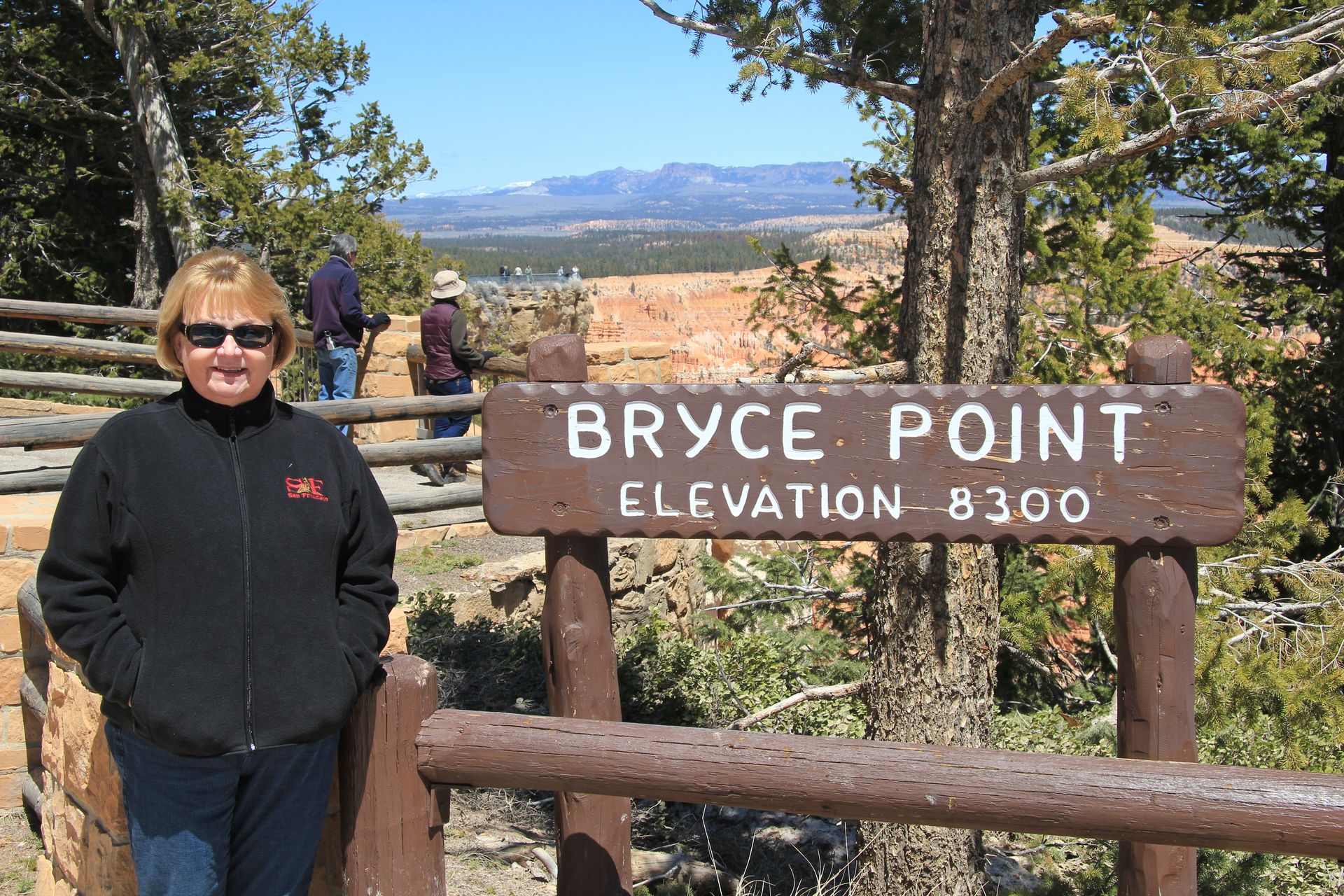
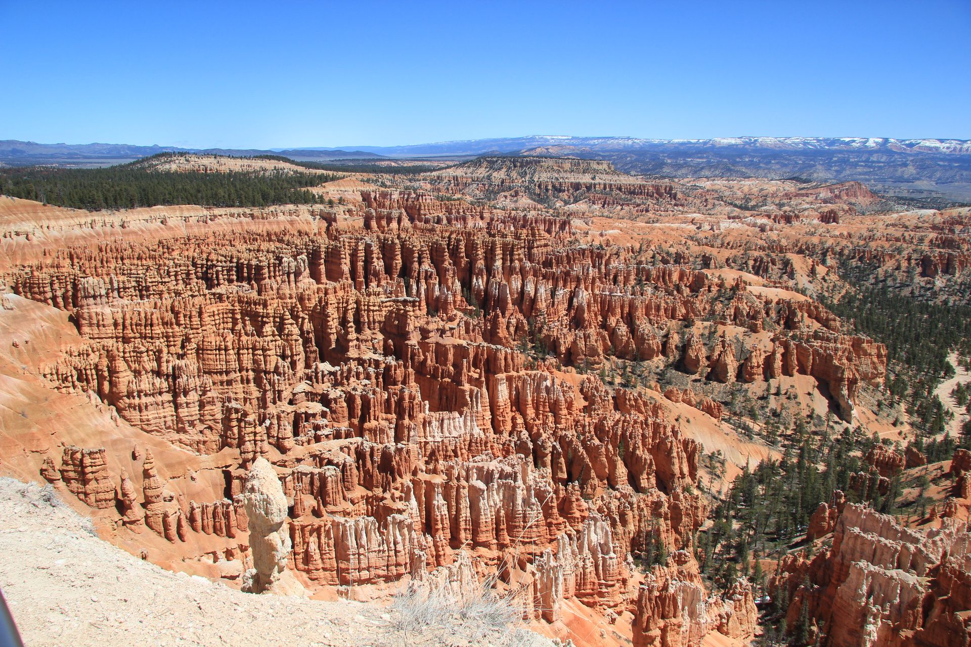
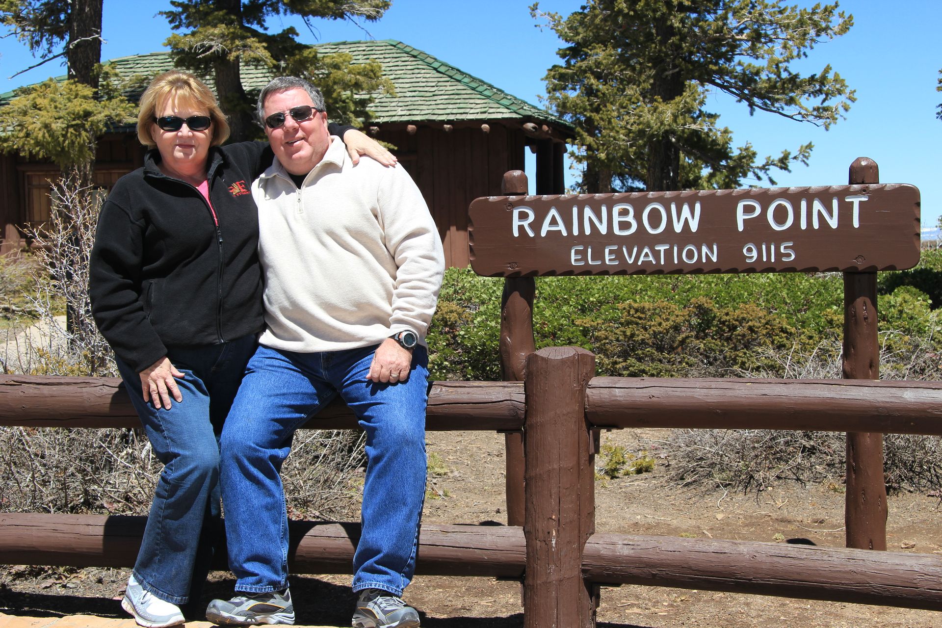
We drove up 89 and picked up Byway 12 over to Bryce through Red Canyon. We drove the 37 miles round trip in the park, stopping at all the viewpoints, about 10 of them. The highest point at Mile 19 is Rainbow Point at 9,116 feet. It is a beautiful place and each point had its own view of the hoodoos.
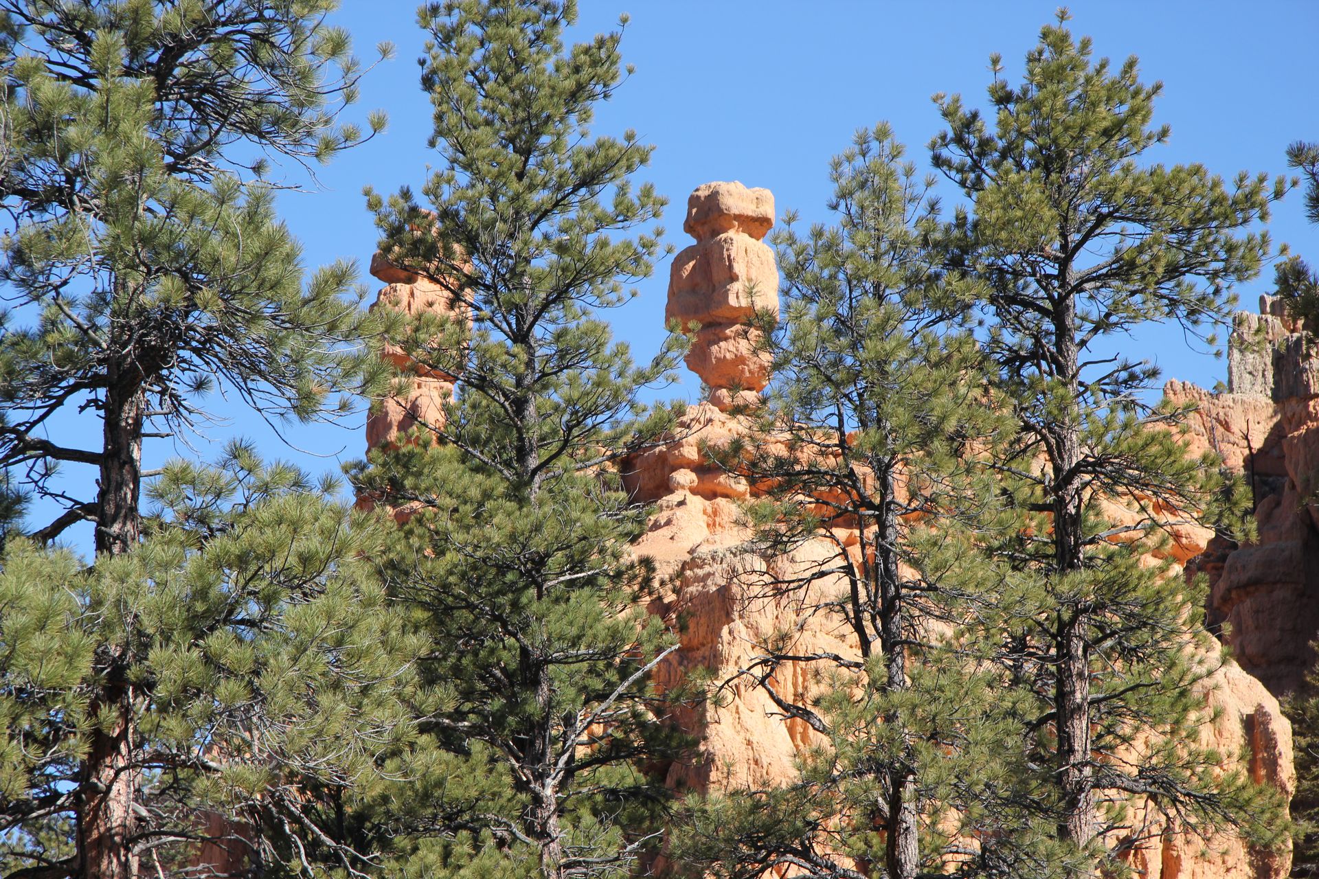
Wiki defines hoodoos as “A hoodoo (also called a tent rock, fairy chimney, and earth pyramid) is a tall, thin spire of rock that protrudes from the bottom of an arid drainage basin or badland. Hoodoos consist of soft sedimentary rock topped by harder, less easily-eroded stone that protects each column from the elements.” You will see in some of the pictures a lighter, almost white top, on the spirals. The red stone is more like sandstone and erodes faster. That is why you see formations like the natural bridge, the center soft stone erodes faster than the top stone.
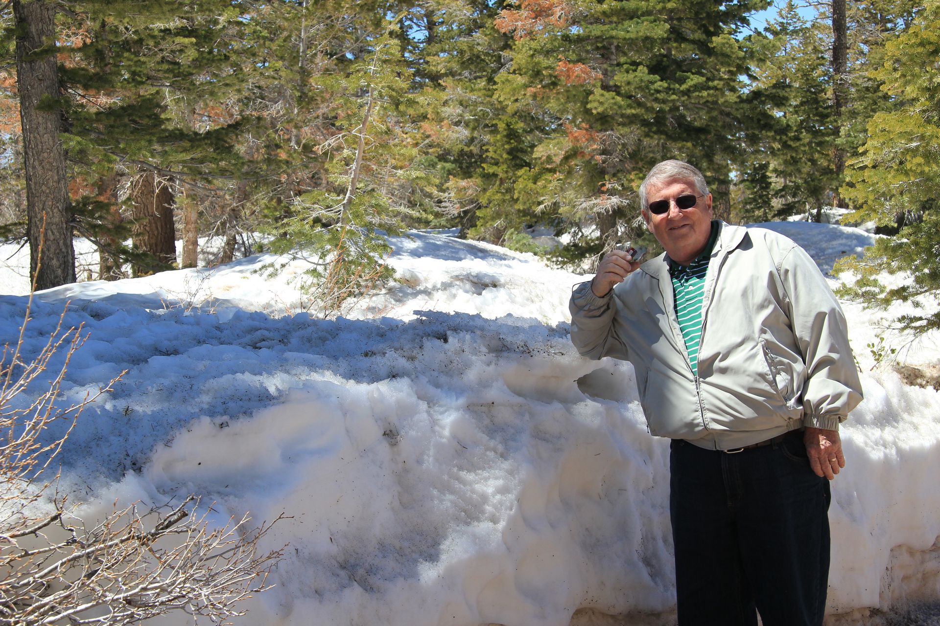
It was cold and windy today – 35 degrees at Rainbow Point. It is off to Capitol Reef Thursday. I hope everyone survived the storms and will say a prayer for those less fortunate, especially in Alabama. Please click on each photo for a larger view.
Bryce Canyon NP to Capitol Reef NP (Torrey, UT)
- Day 11, Thu, Apr 28, 2011
- Google Map - 127 miles
- Links
- Along the way
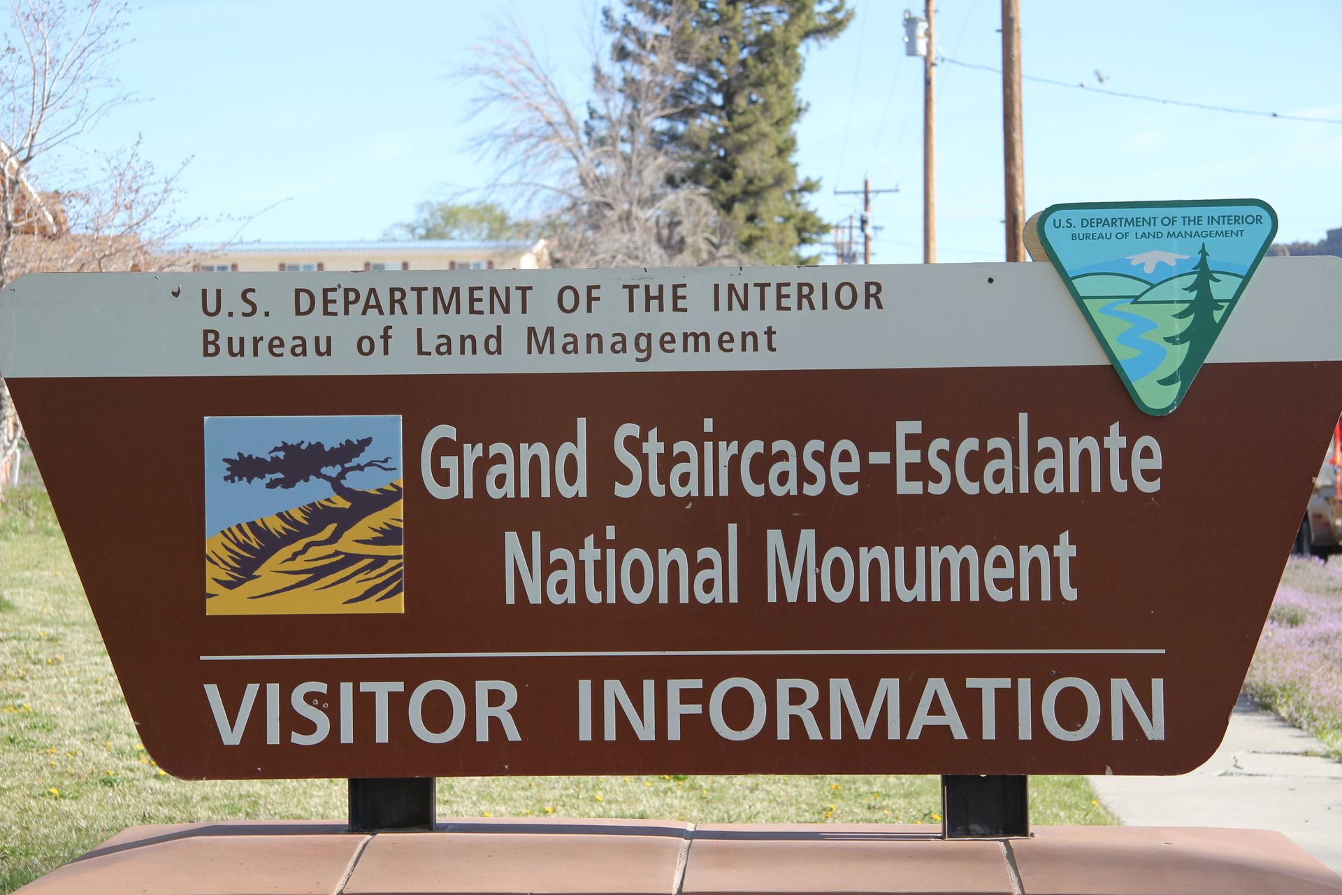
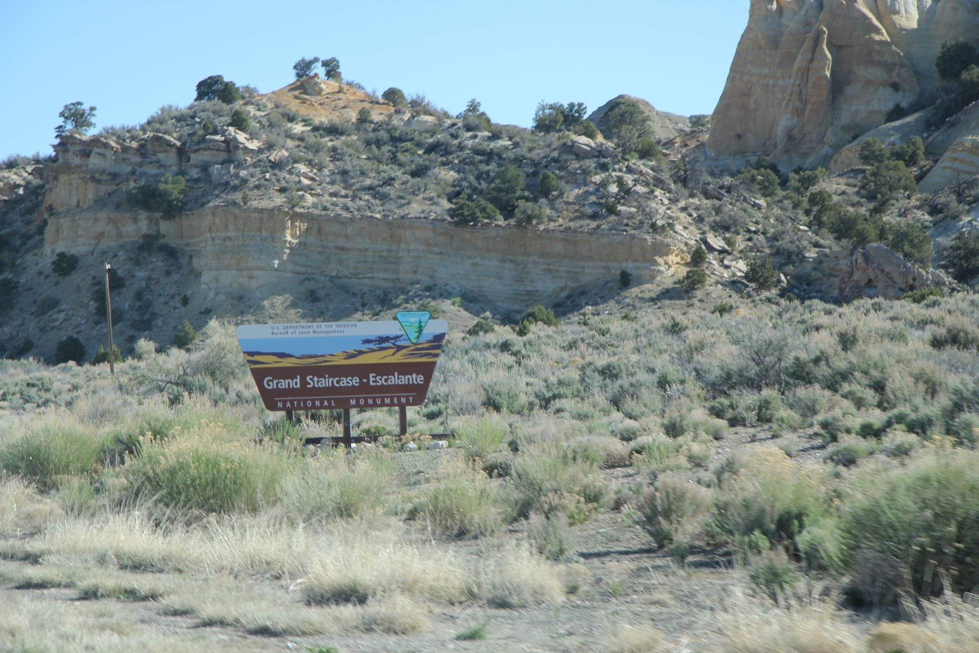
- Grand Staircase-Escalante National Monument - Glendale, UT
- Escalante National Monument Pics
- Boulder, UT
- Boulder, UT Pics
- Highway 12 Scenic Byway
- Torrey, UT
- National Parks
We woke with a cool, clear morning in Bryce Canyon City. We had a great breakfast at the Best Western Grand Hotel – a new hotel in its second season. The most famous hotel outside Bryce National Park is Ruby’s Inn. Reuben (Ruby) own the inn as well as the Grand Hotel. In fact Ruby and his family have been here since 1916 and own most of the land outside the park.
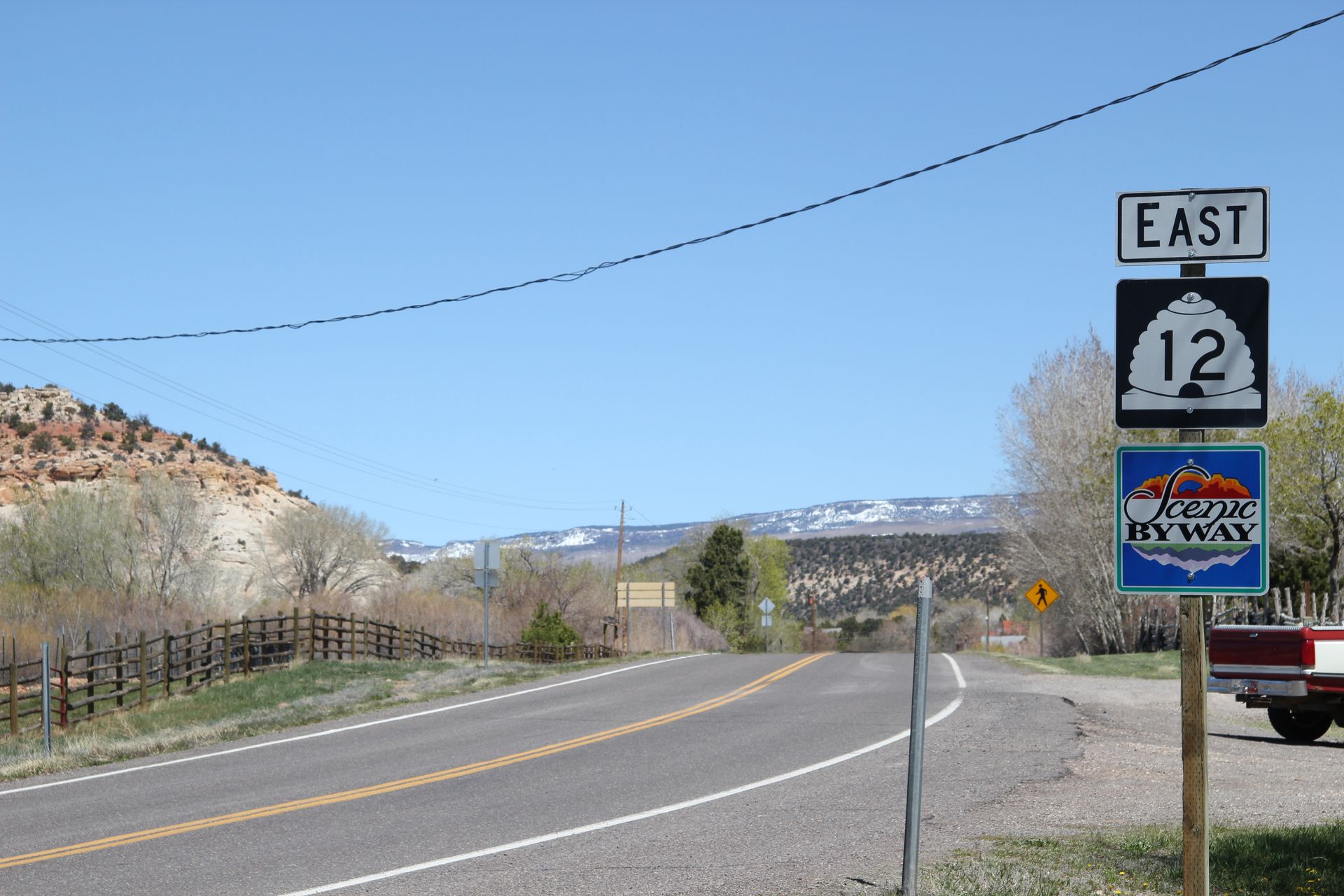
We filled up with gas ($3.89/gal for 85 octane) and headed towards Torre, UT on Highway 12 Scenic Byway. We went through Tropic and then stopped in Cannonville where the Grand Staircase-Escalante National Monument visitors' center is located.
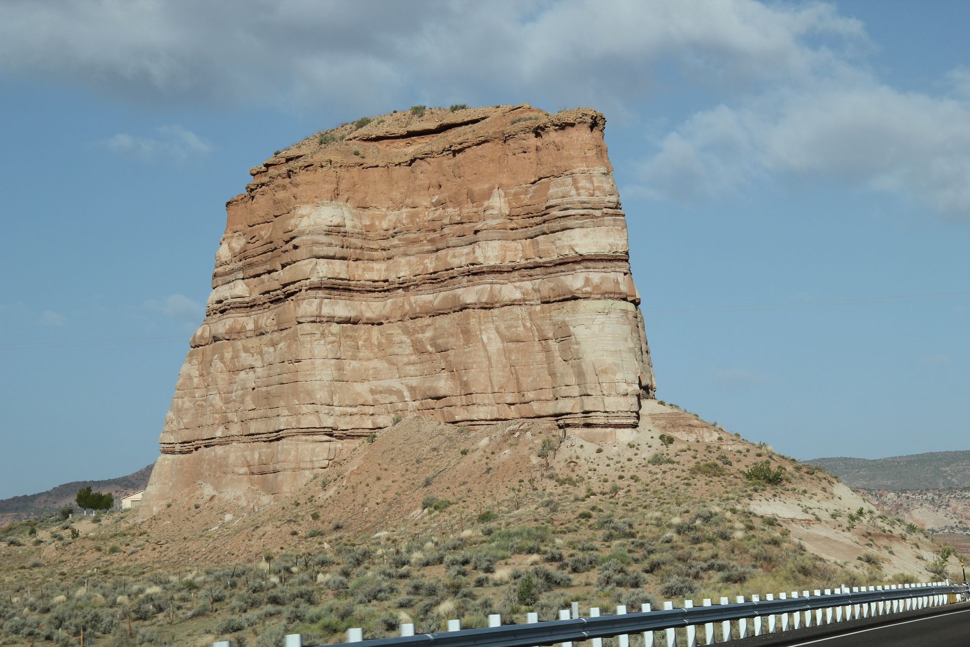
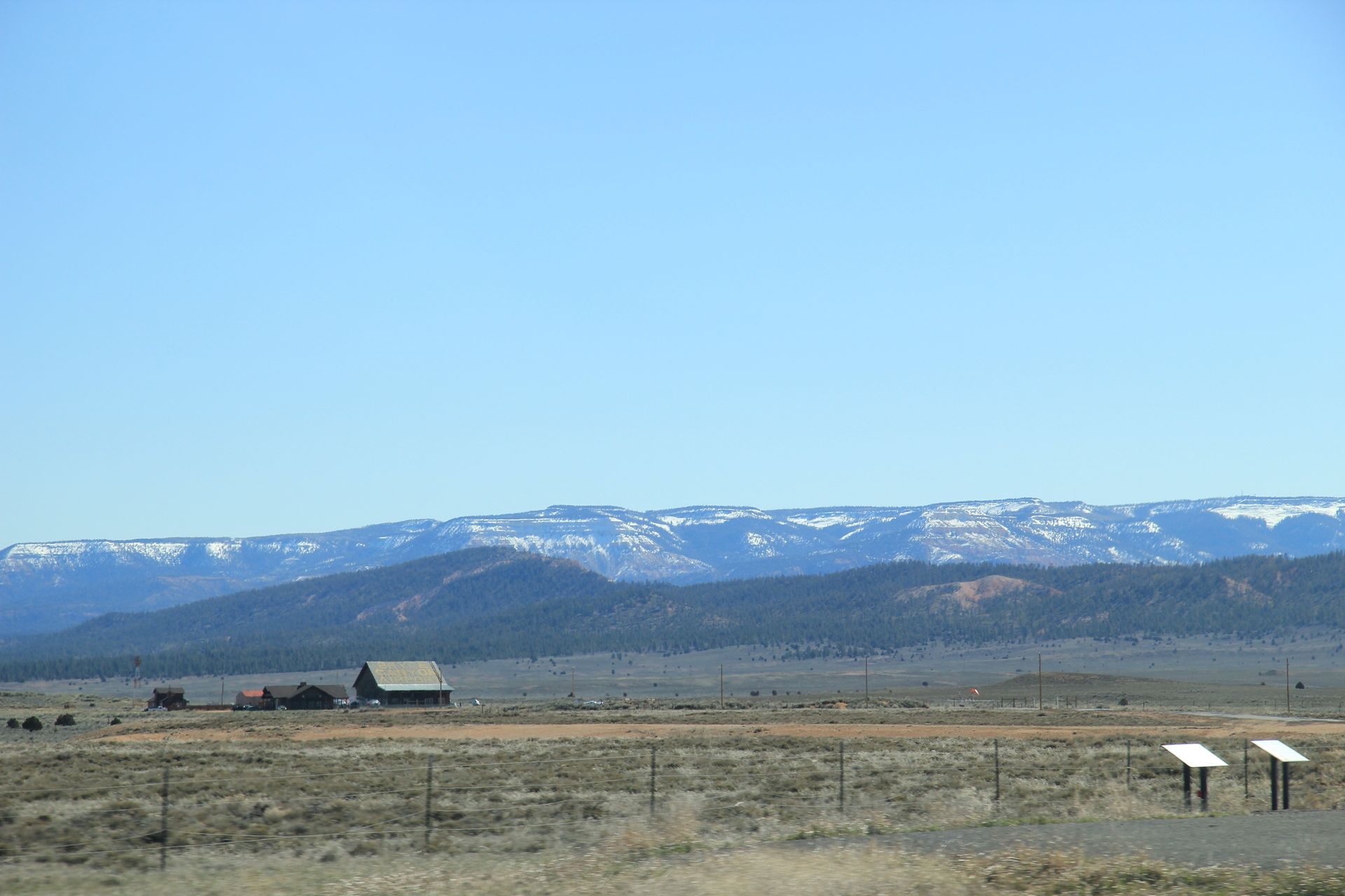
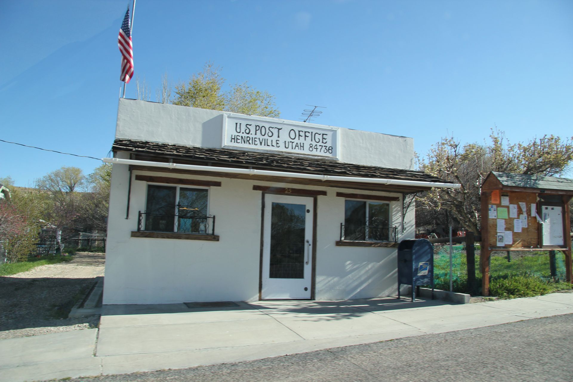
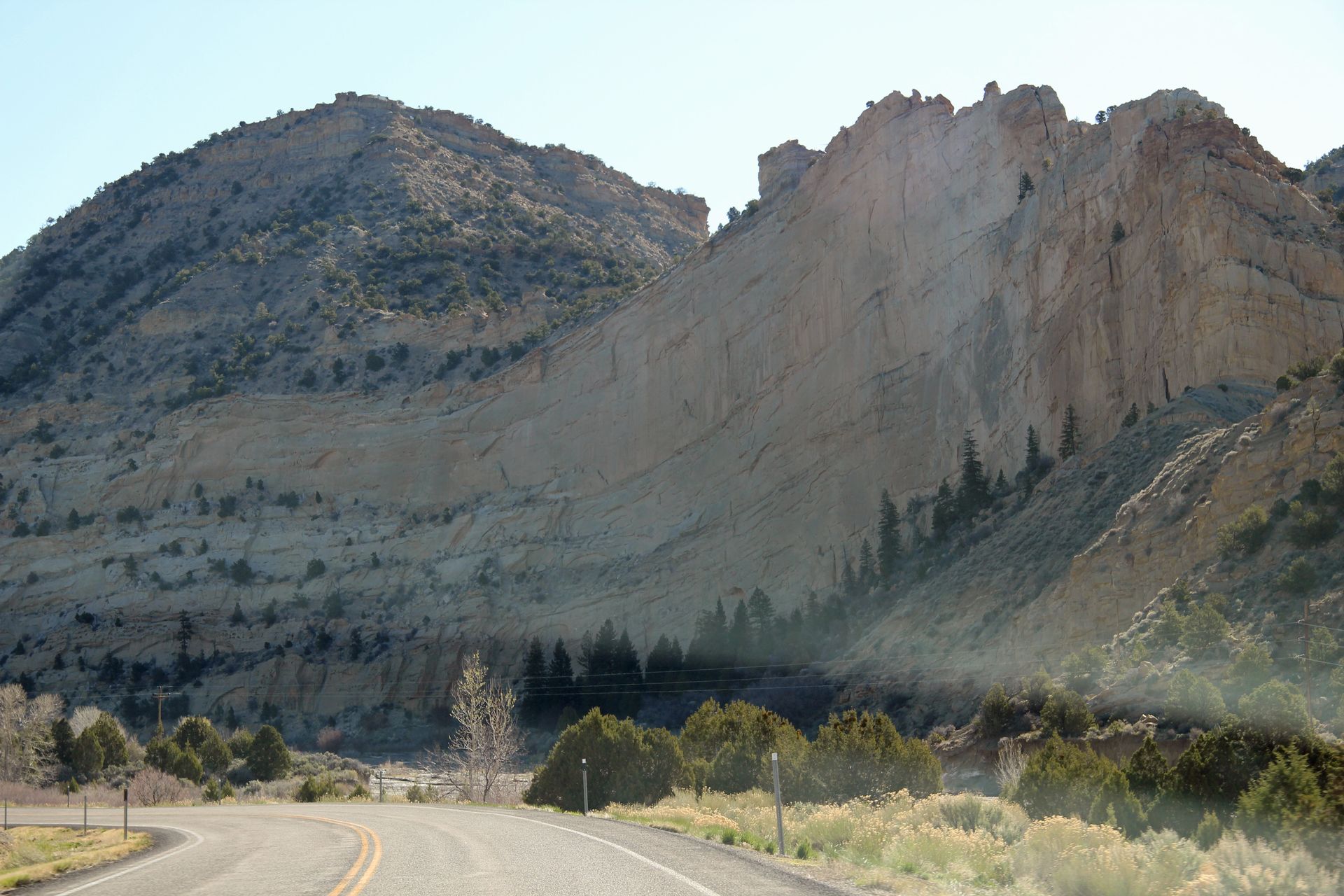
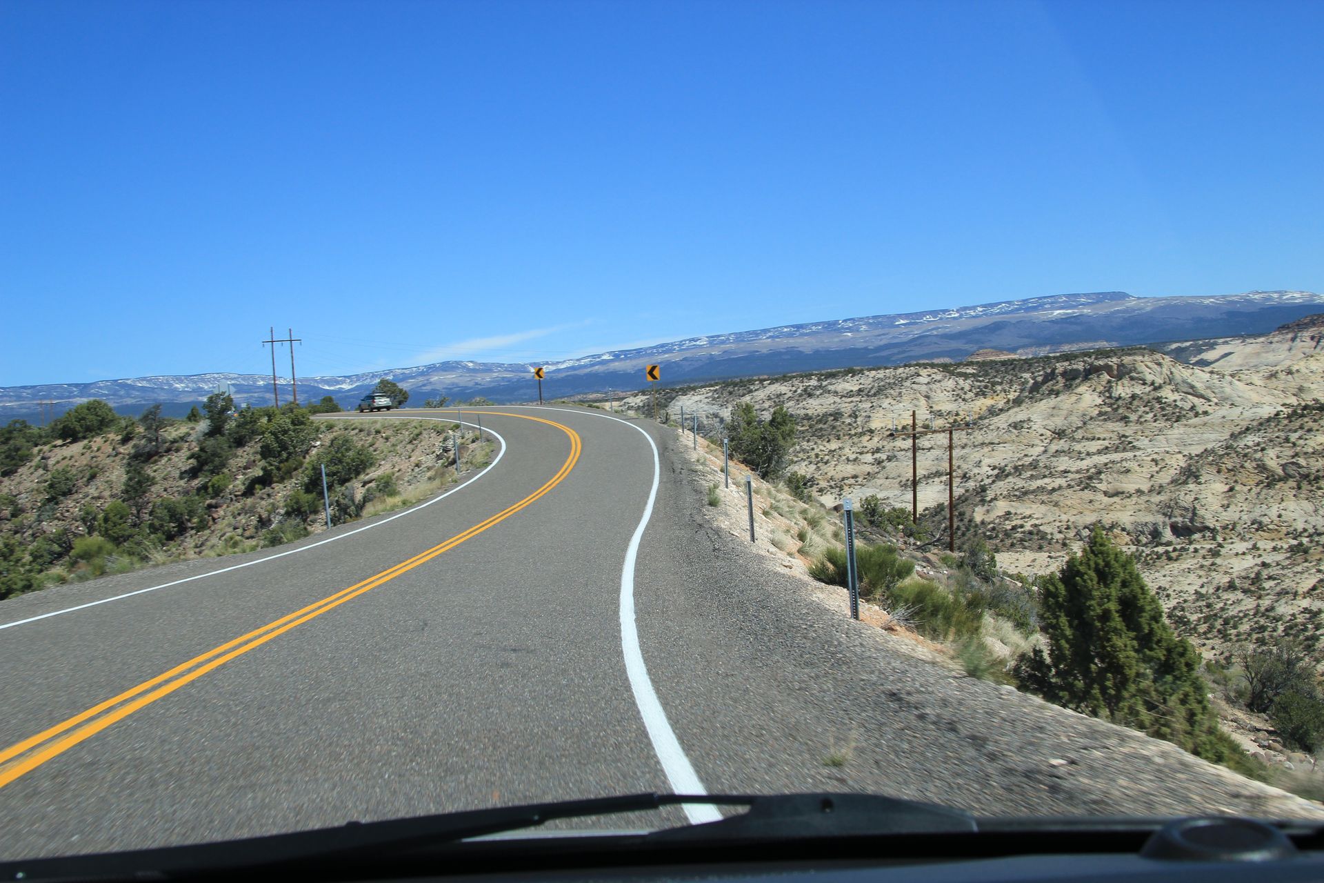
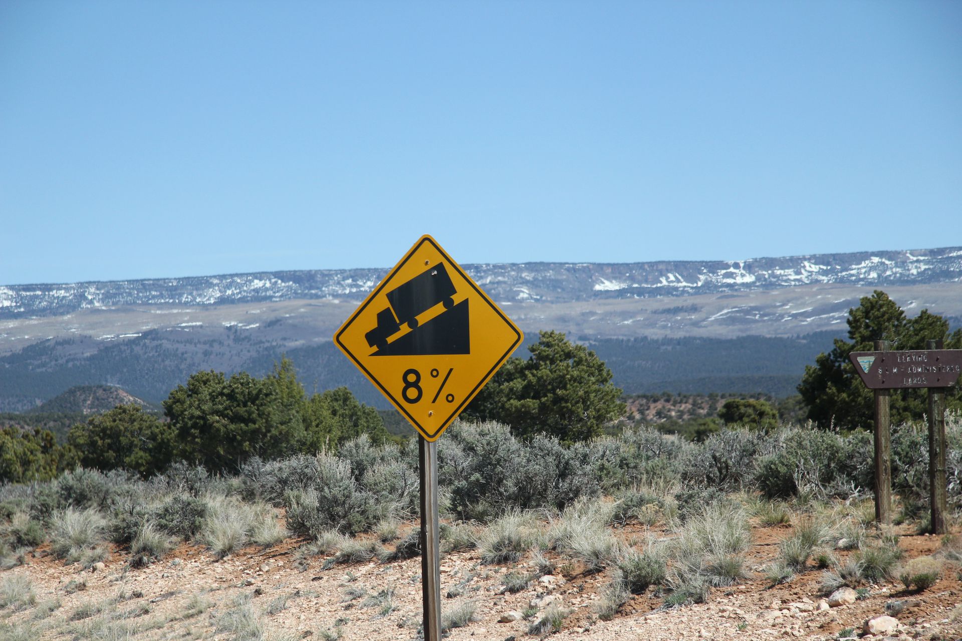
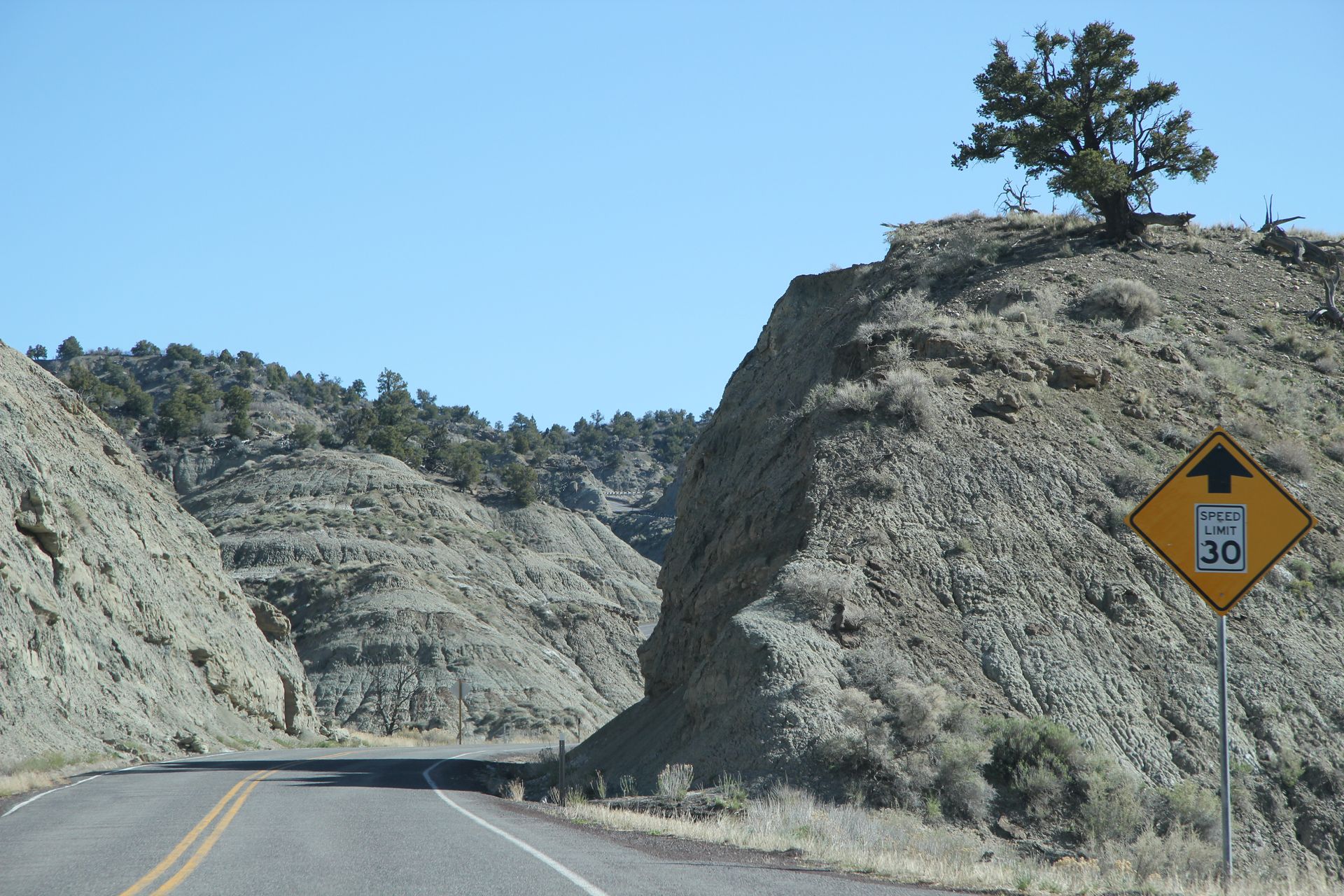
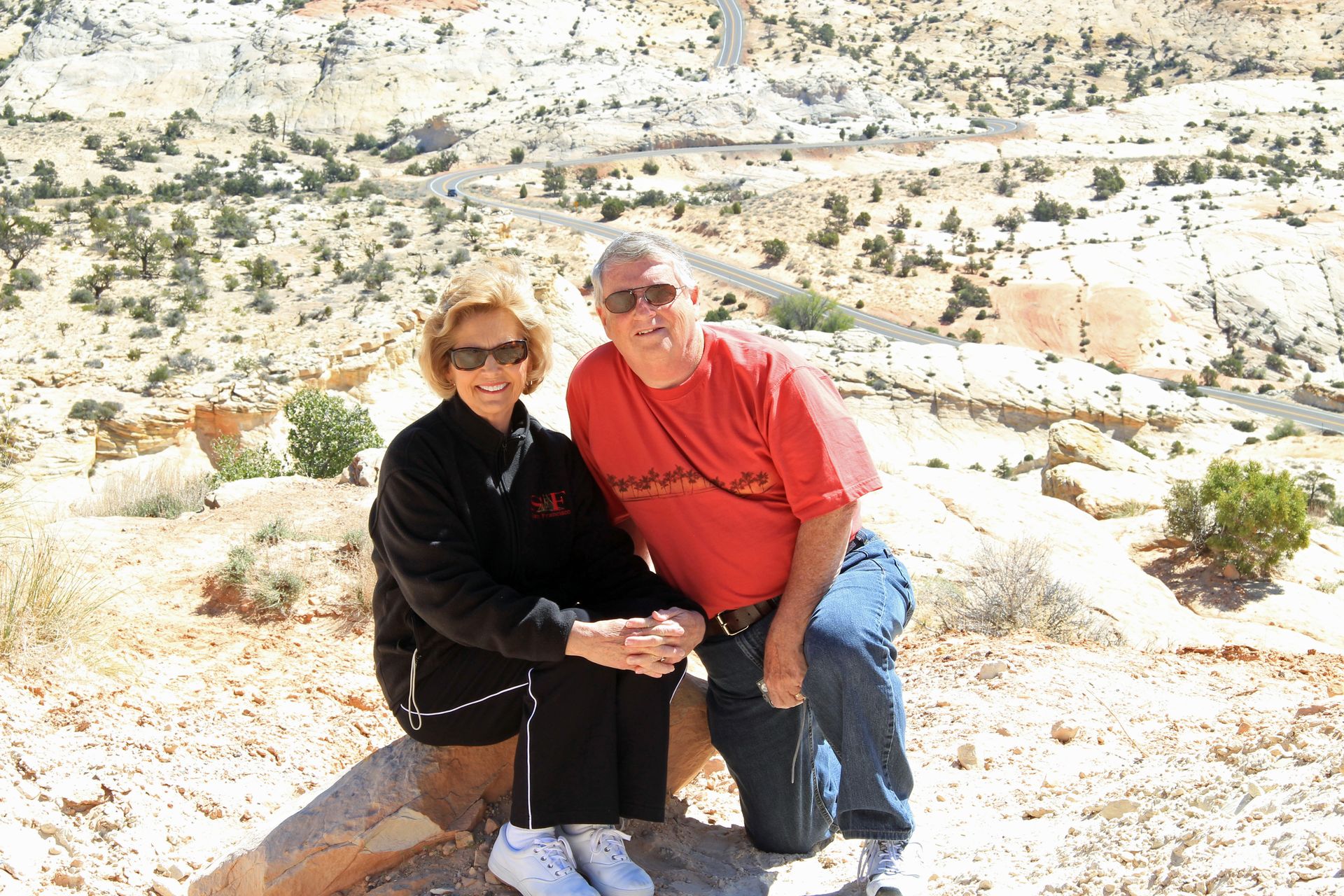
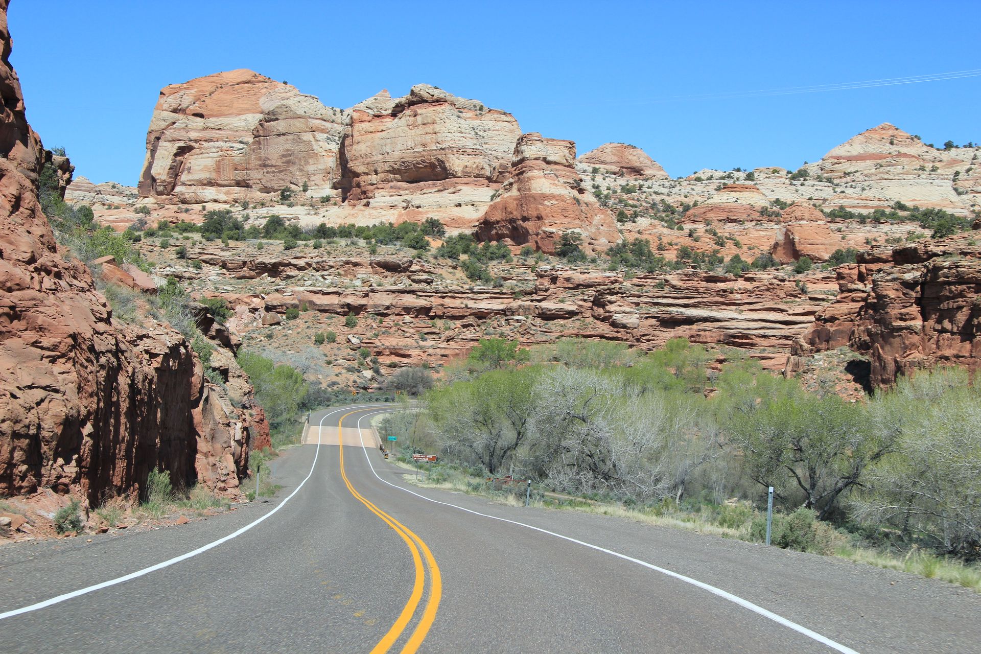
We left the visitor’s center and drove through Henrieville before going over the Henderson Canyon Summit (7,600 feet). We dropped down into the city of Escalante and stopped at the interagency visitor’s center. We saw a cool van with people traveling and shooting a TV show on turtles. We drove through Boynton Canyon and stopped to take more photos at the summit. We then started over Boulder Mountain (there was a volcanic eruption there millions of years ago and the black lava boulders were everywhere). Starting up Boulder Mountain we went across an area called Hogback because there was a 2 lane road with drop offs on either side (with no guard rails).
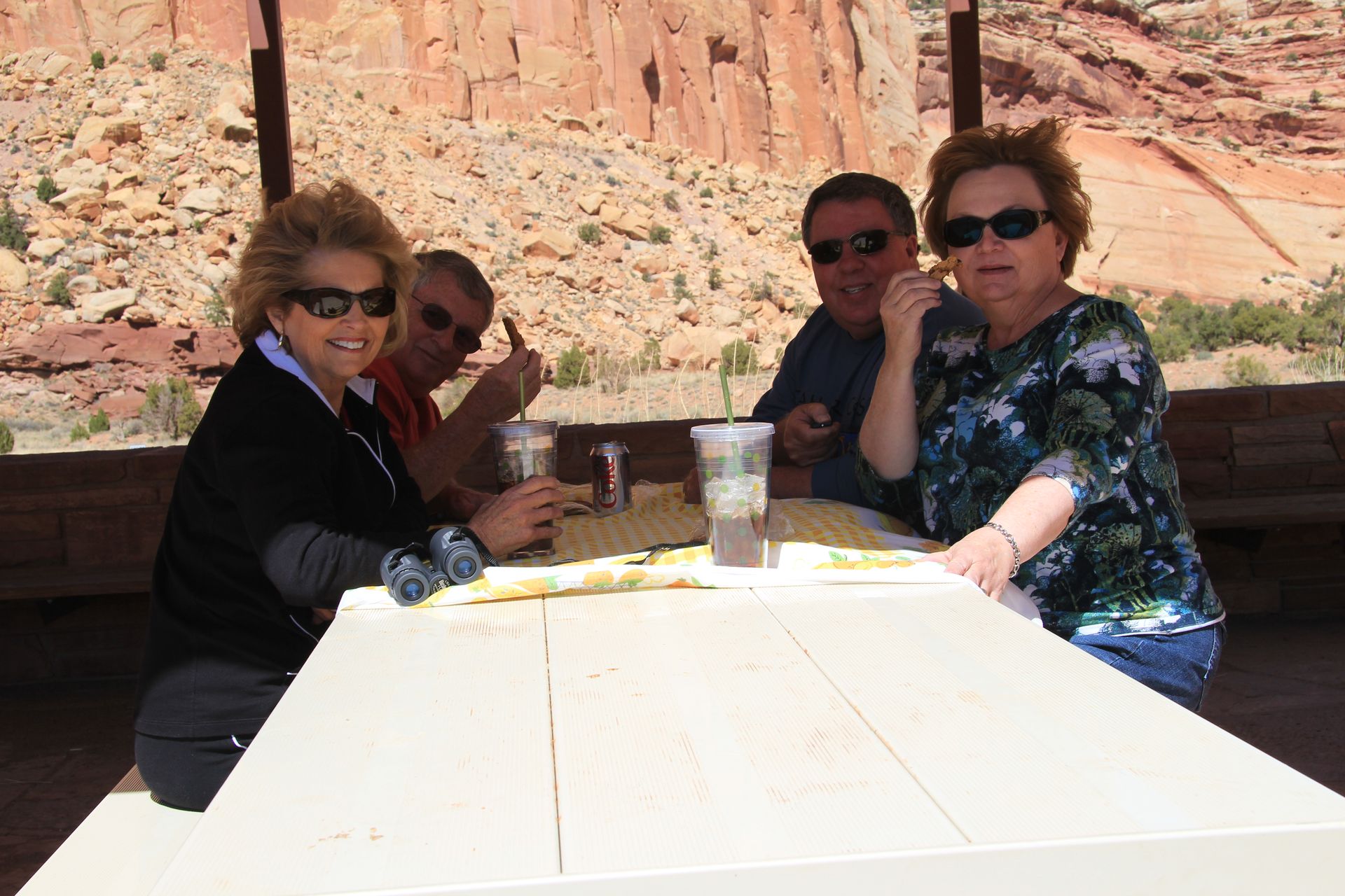
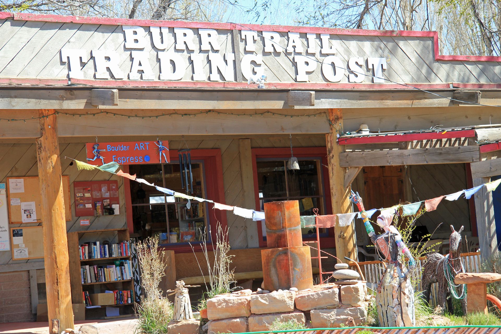
We arrived in Boulder at 11:30 and stopped in Burr Trail Grill for lunch. I believe the place must have been founded by hippies as there were cool 60’s ballads playing and all the food was organic and the meat was from locally raised cattle. We had some of their special “allo” tea which tasted like southern tea. The food and drink were quite good with excellent service. We left each with a cookie for dessert (they were the size of a small pizza). We headed out to complete the journey over Boulder Mountain, stopping at Homestead Overlook at 9,400 feet.
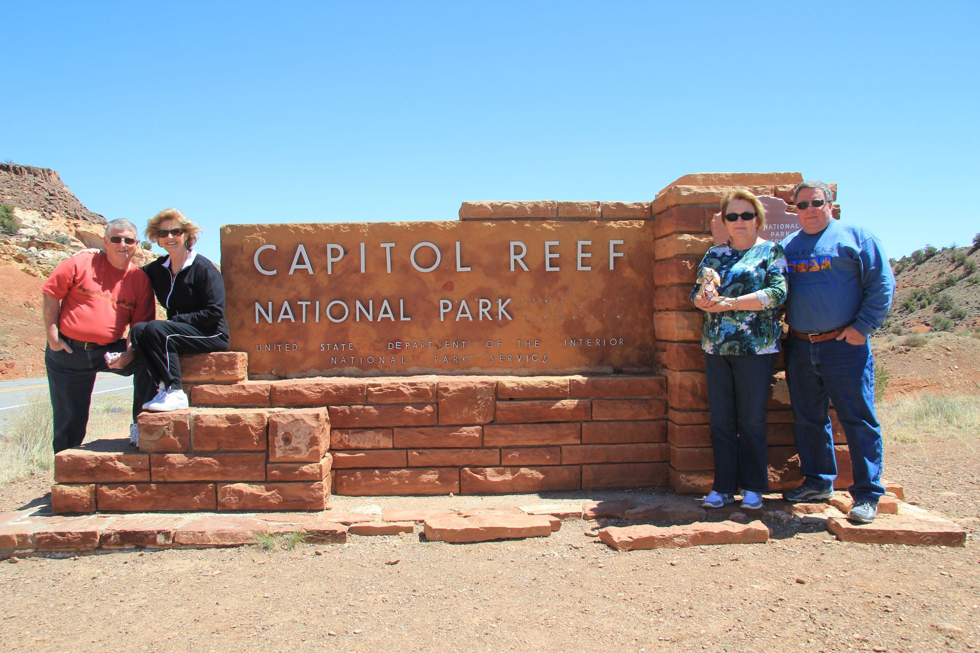
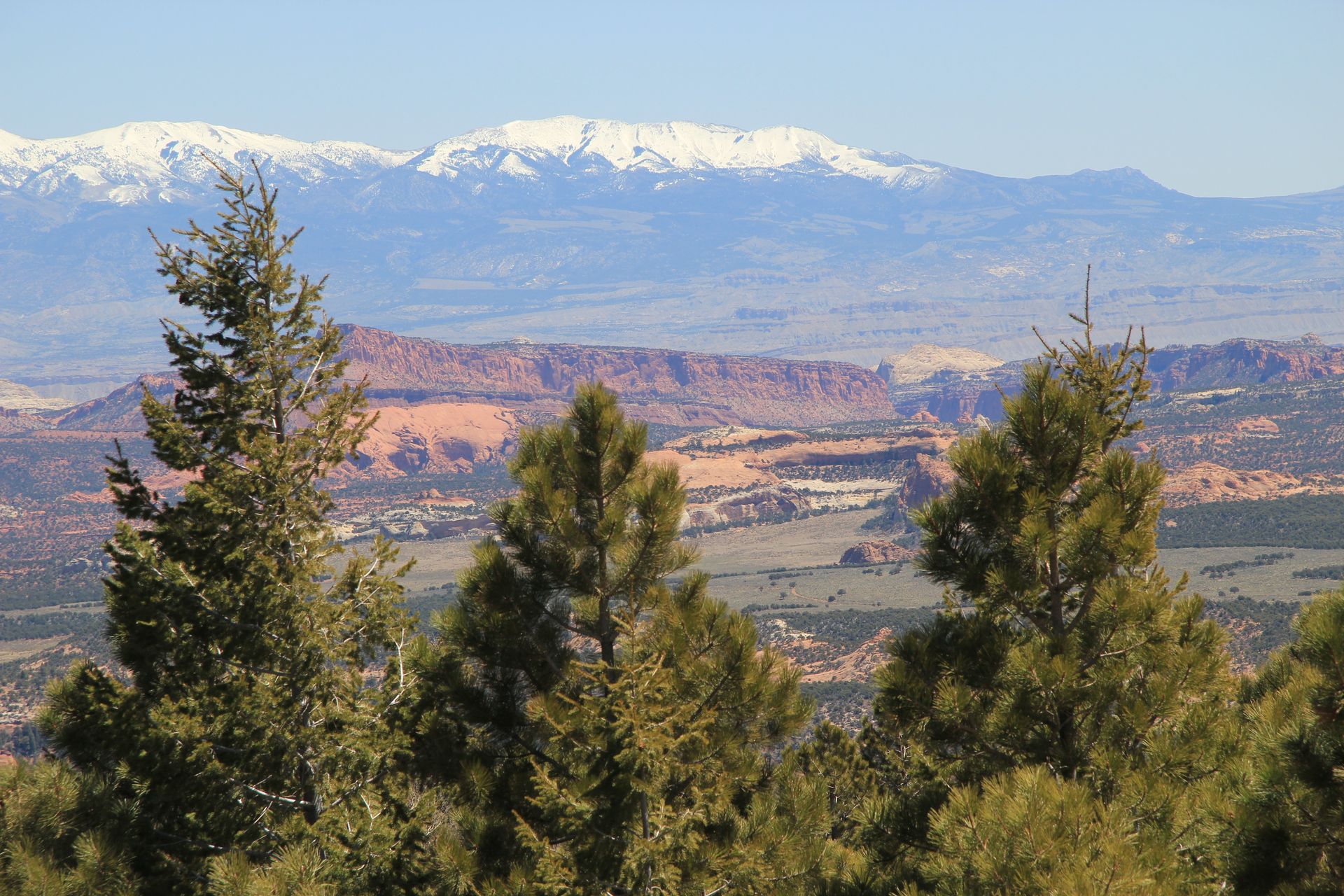
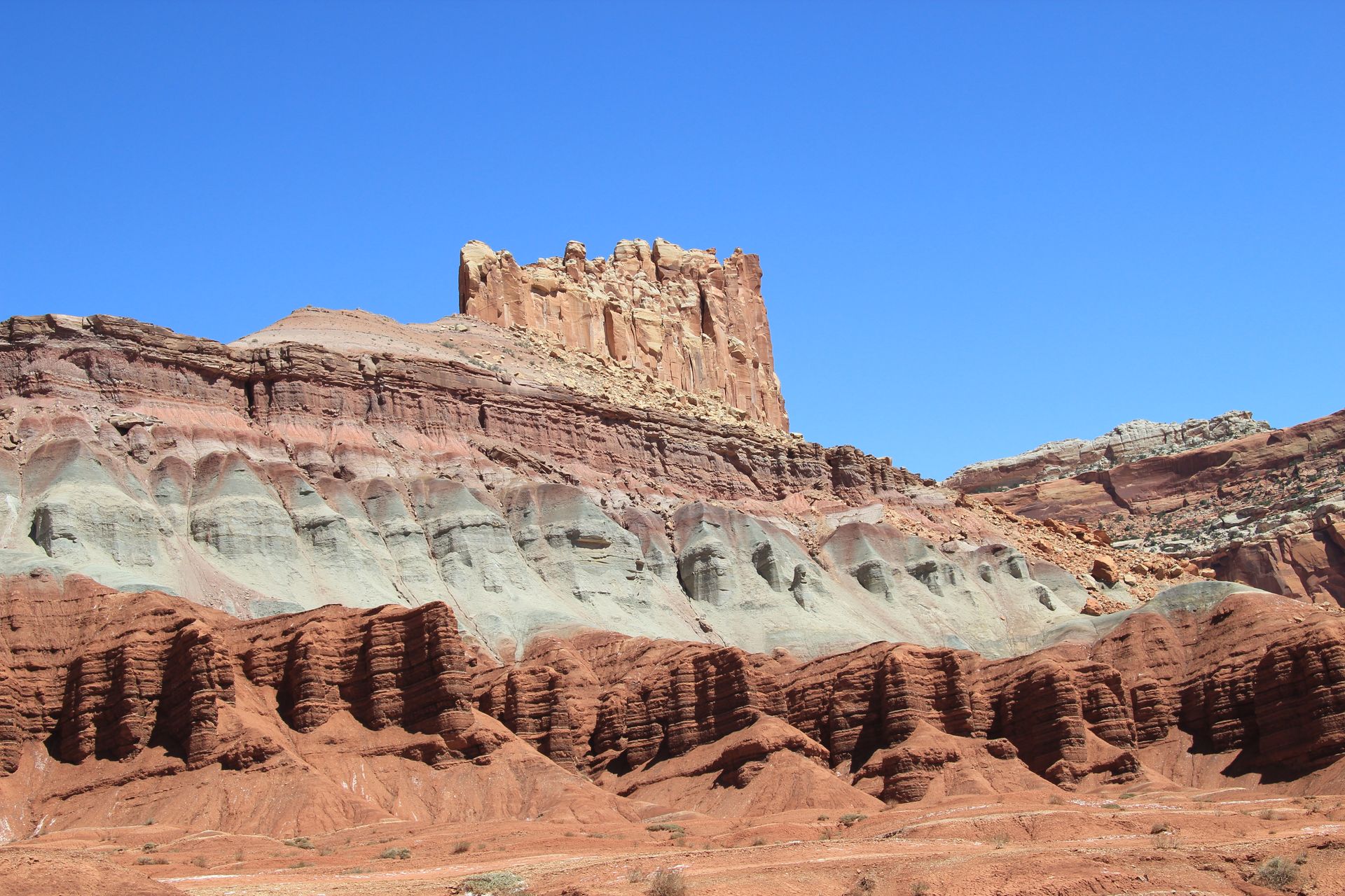
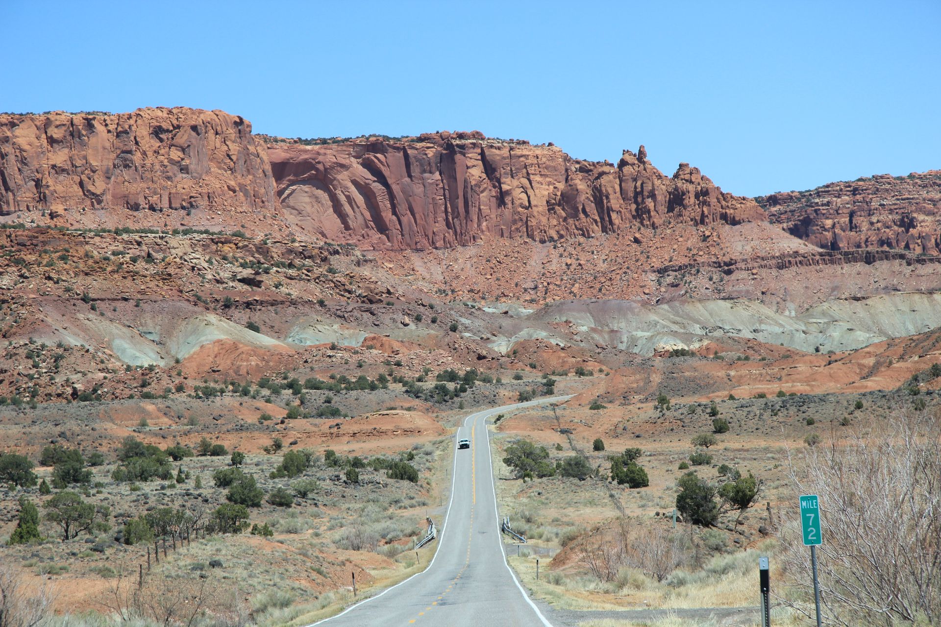
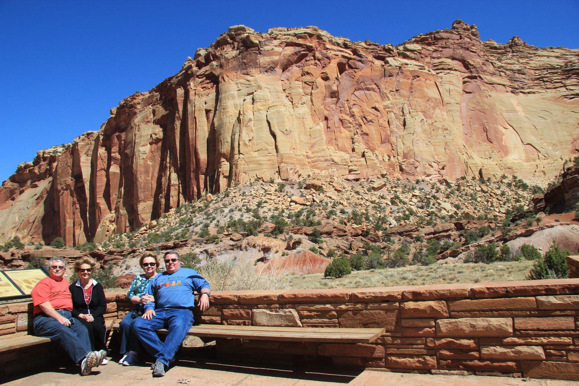
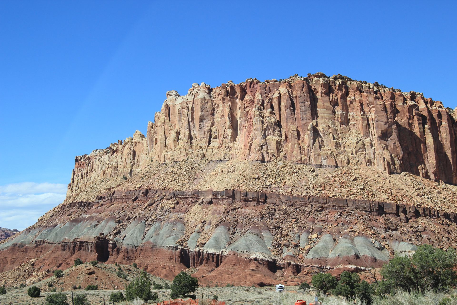
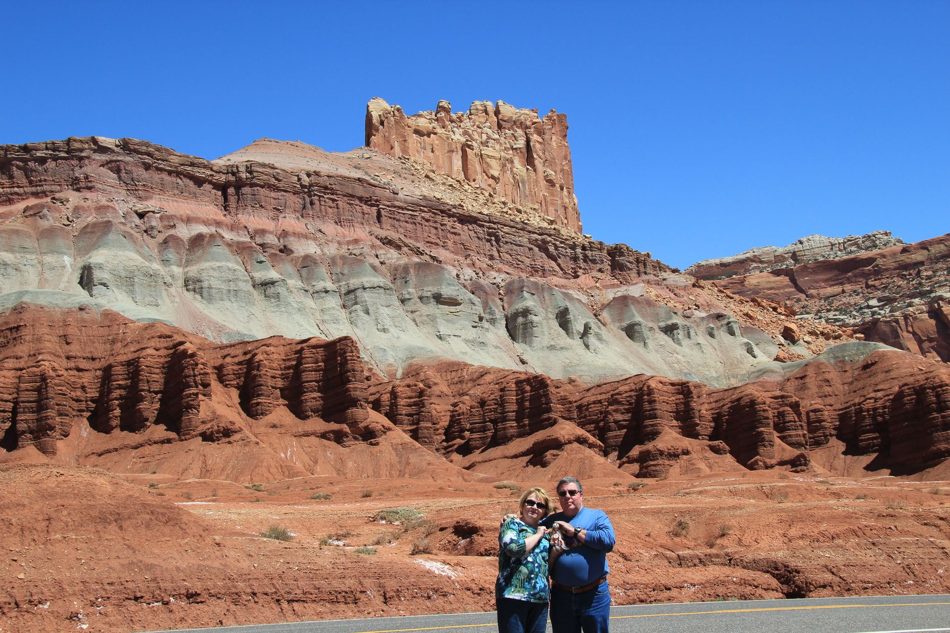
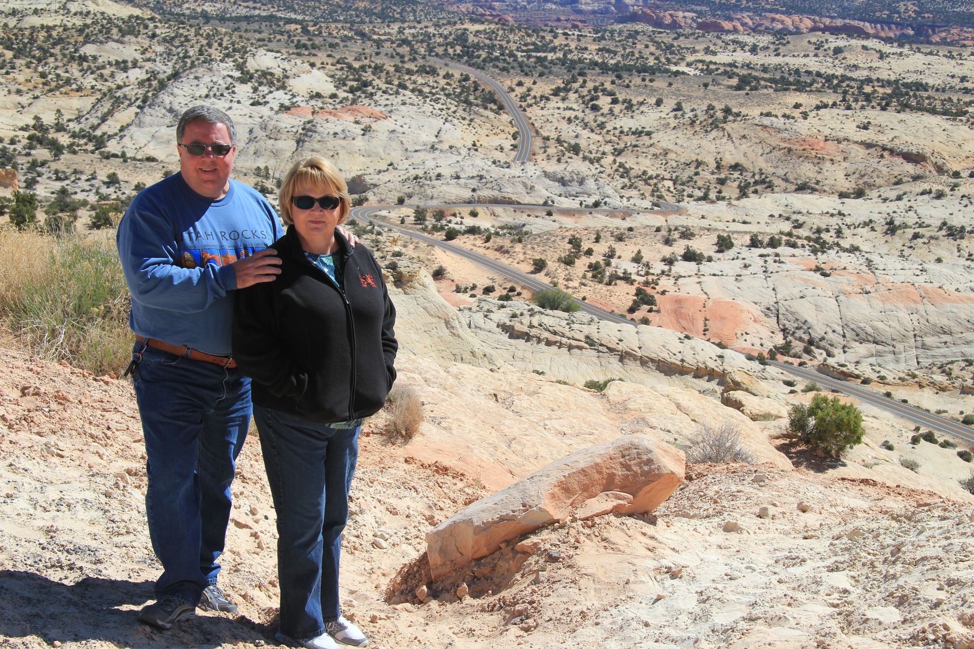
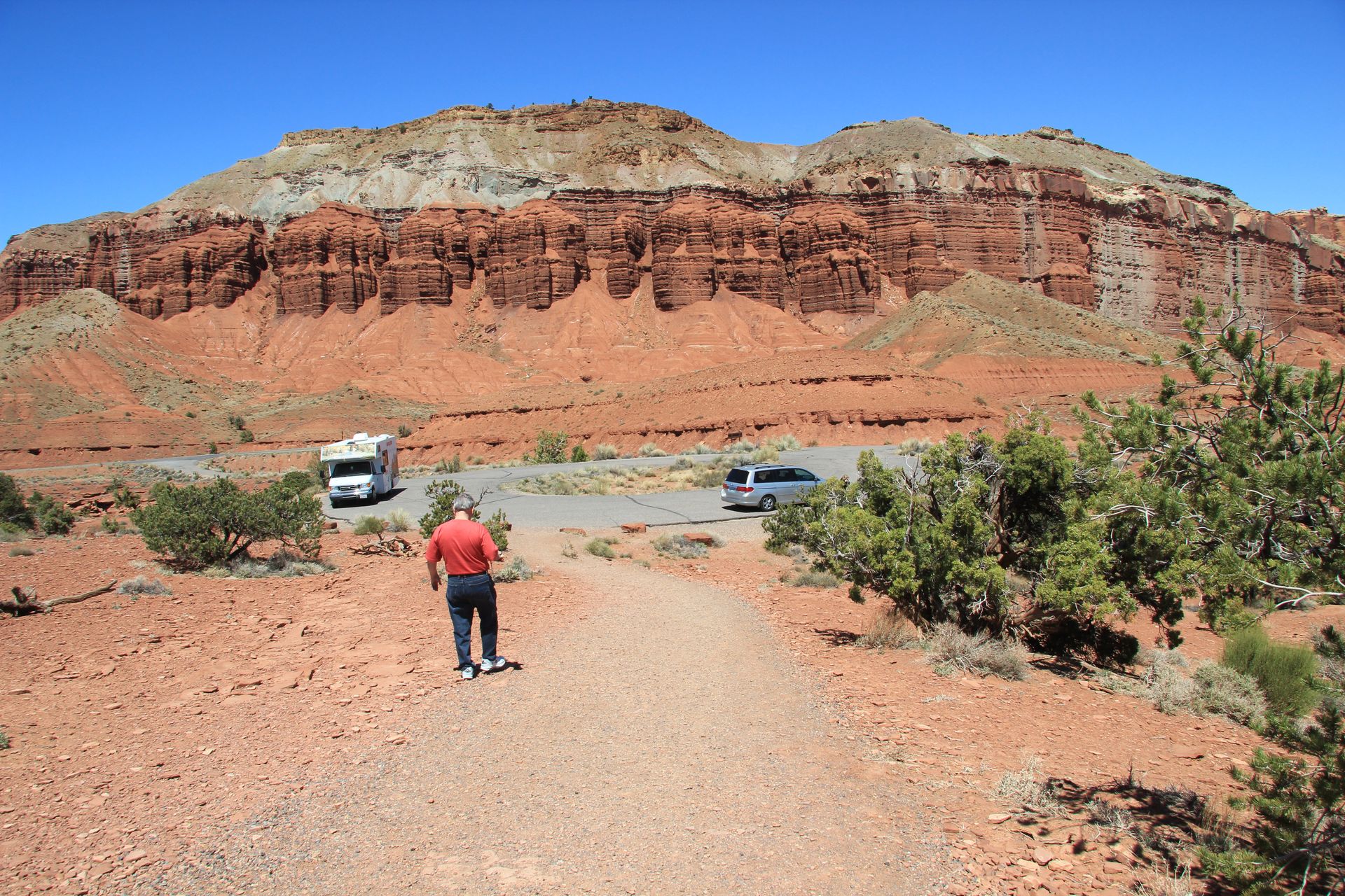
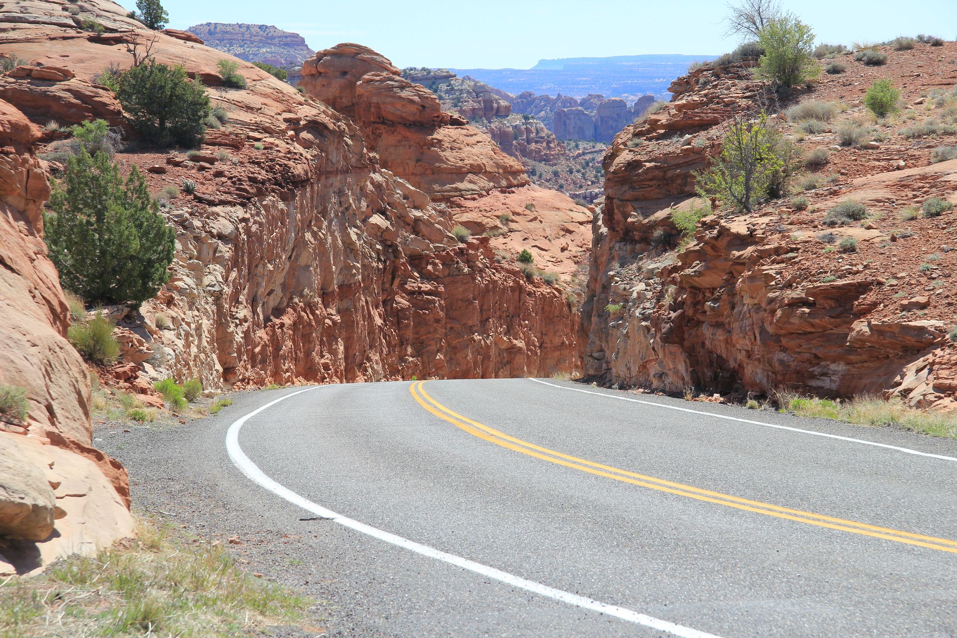
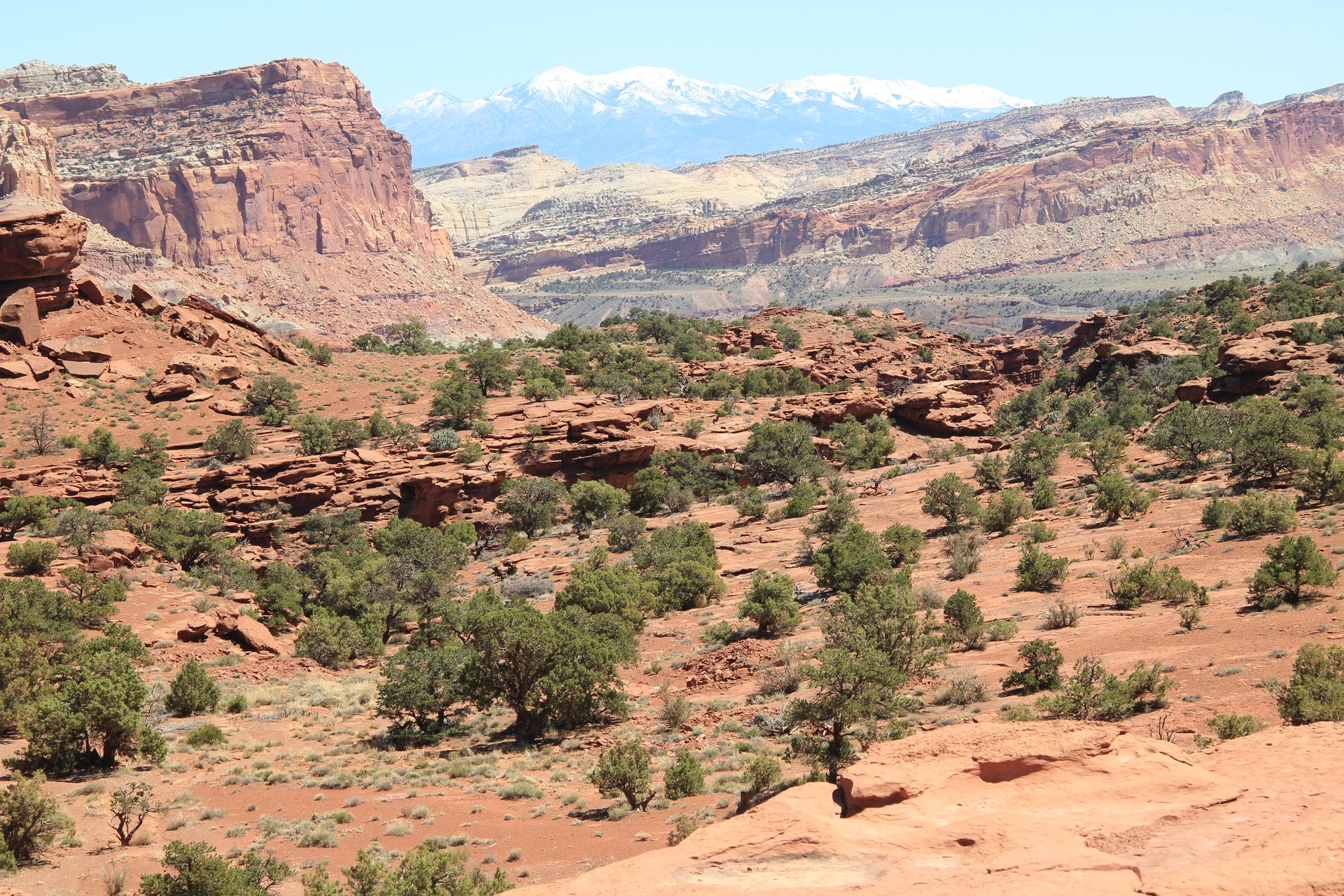
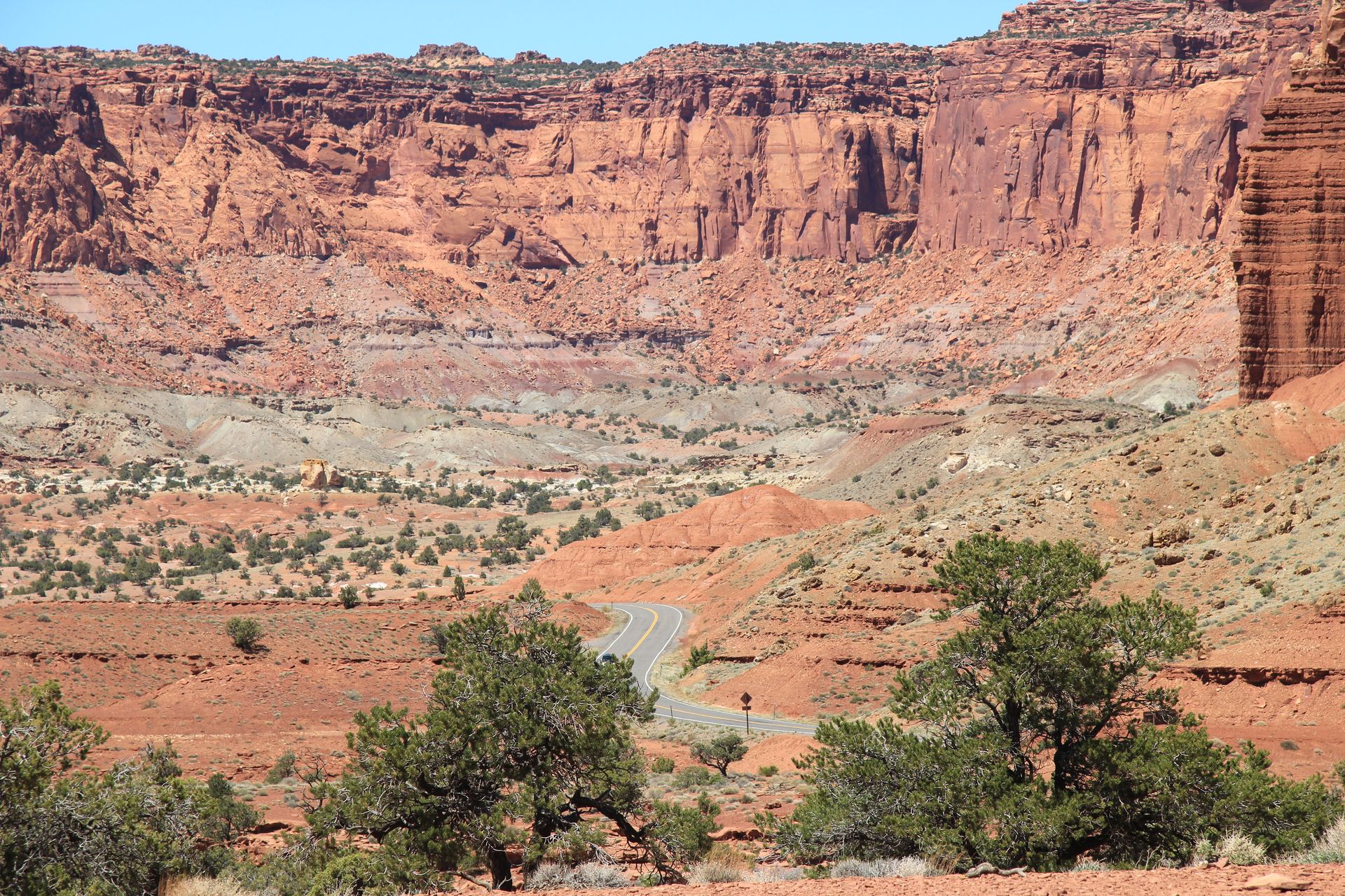
There was still snow on the ground with the temperature 34 degrees. We left the Scenic Byway and picked up Highway 24 and arrived in Torrey, UT (pop. 180) just outside the Capitol Reef National Park. We checked in at the Visitor’s Center and started the 10 miles drive through the park. After about 5 miles (most of the road was under repair), we came to non-paved surface so we decided to head back to hotel and check in.
We checked into the Best Western Capitol Reef (sorry – no
Marriotts here). The rooms are clean and the view off the deck are
magnificent. We had dinner (pizza) at the Chillerz Malt Shoppe in downtown
Torrey. We head to Moab Friday for 2 days to visit Canyonlands and
Arches. We reserved 2 Rhinos for Saturday morning but the temperature is supposed to be 34
degrees. We called and changed the reservation to Friday
afternoon. Be sure to click on each picture for larger view
Capitol Reef NP to Arches and Canyonlands NP (Moab, UT)
- Day 12, Fri, Apr 29, 2011
- Google Map - 165 miles
- LInks
- Along the way
- Moab, UT
- Hampton Inn
- Best Western Greenwell Inn
- River Canyon Lodge - $60
- Sorrell River Ranch and Spa - $798
- Archway Inn - $169
- Holiday Inn Express - $136
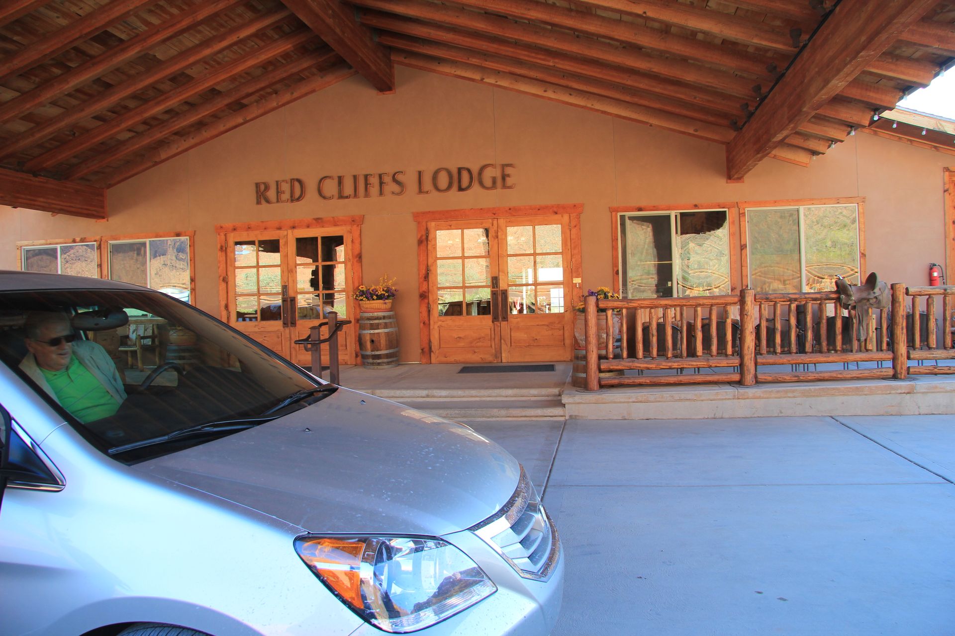
- Red Cliffs Lodge - $139 weekday, $219 weekend*
- All hotels
- Utah Hotels
- National Parks
- Arches N.P. - Utah
- Arches N.P. - NPS
- Arches Map
- Canyonlands N.P. - Utah
- Canyonlands N.P. - NPS
- Canyonlands Map
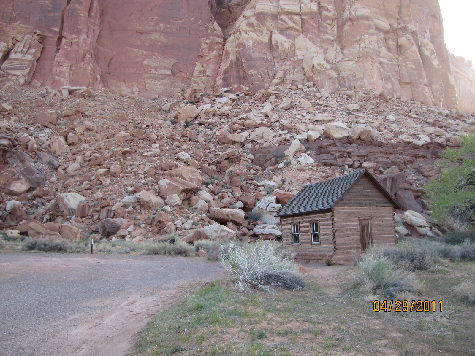
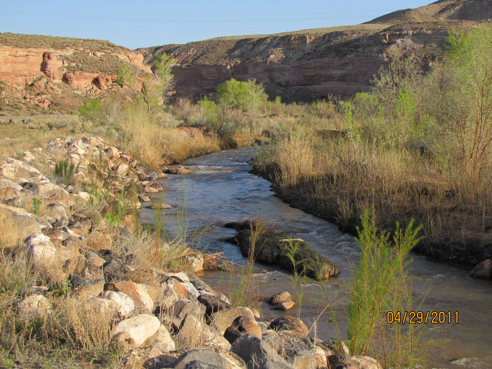
We checked out of motel early today and headed west on UT-24. We made a quick stop at the historic Fruita school. I was driving this morning and decided to use my older camera since we were going to be ATVing this afternoon. UT 24 was a scenic byway along the Fremont River so we swapped drivers and I got out the new camera.
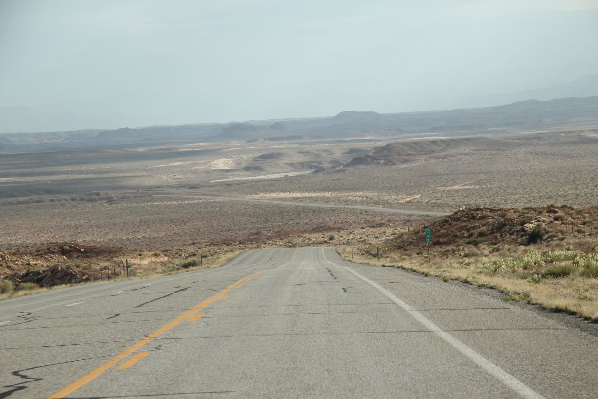
The cottonwoods were in full boom along the river. We took some photos and headed north out of Hanksville (looks like a ghost town other than the people working on the bridge). The ride on north UT 24 was flat and desert looking with an occasional mound of rocks. The altitude is still 5,000 feet so guess we are still on the Rocky Mountain plateau.
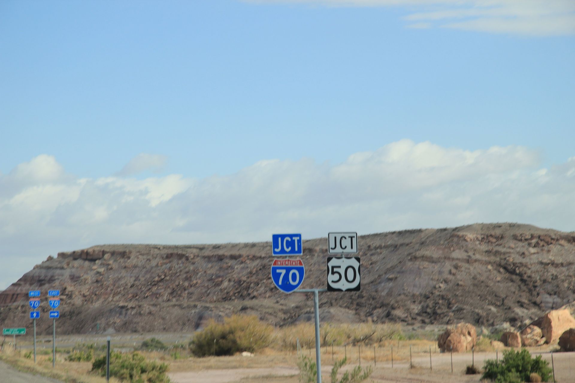
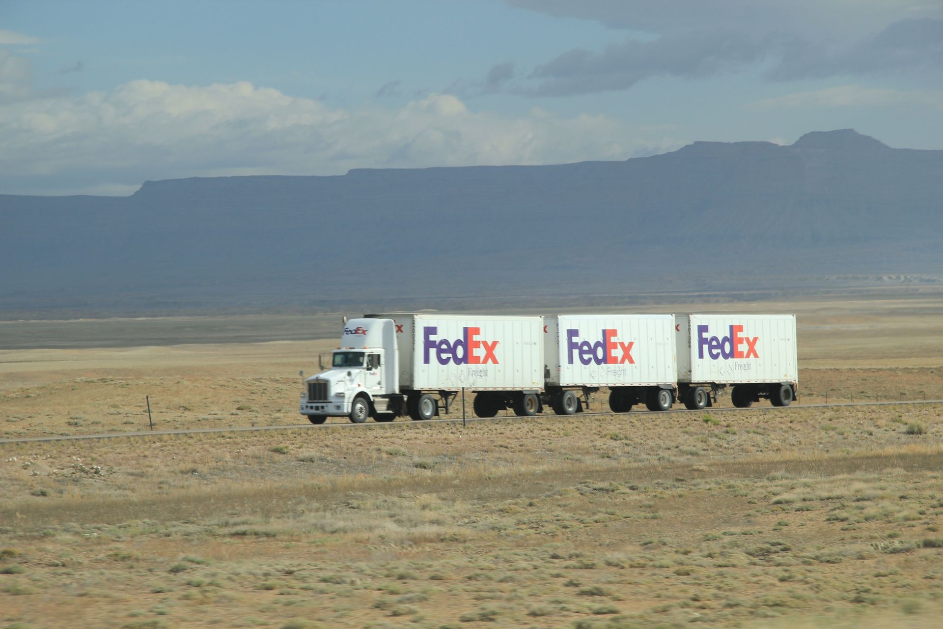
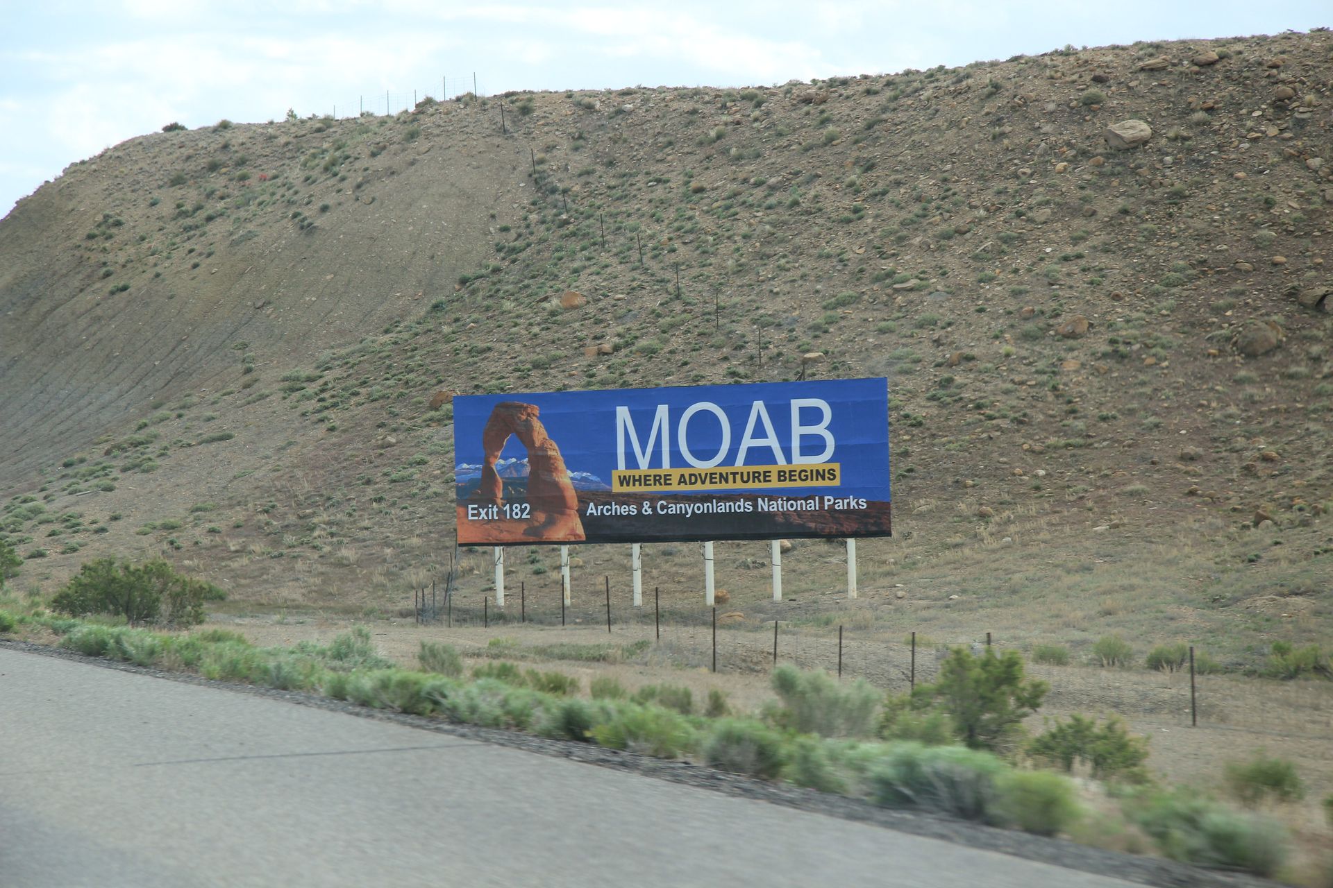
We got to Green River and picked up I-70E toward Moab. We noticed the trucks out here can pull 3 trailers across the desert at 75 mph. We stopped at first exit, filled up with gas ($3.85 for 85 octane), added some air in left rear tire that was down 3 pounds. I hope we don’t have a slow leak. We headed back east on I-70 and exited onto Highway 191 to Moab.
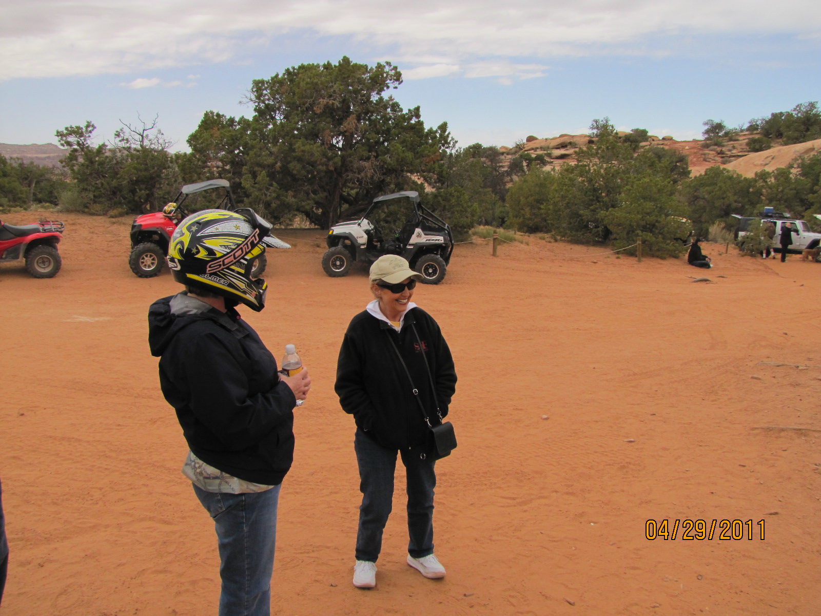
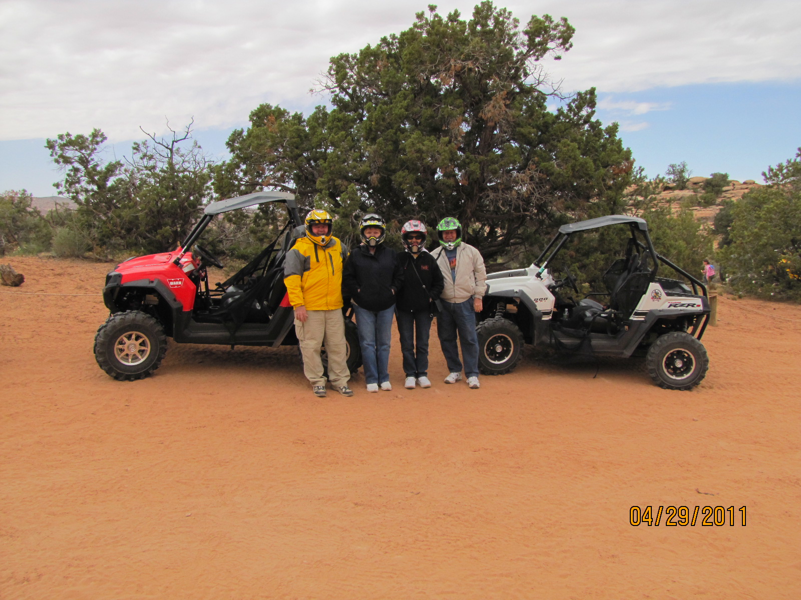
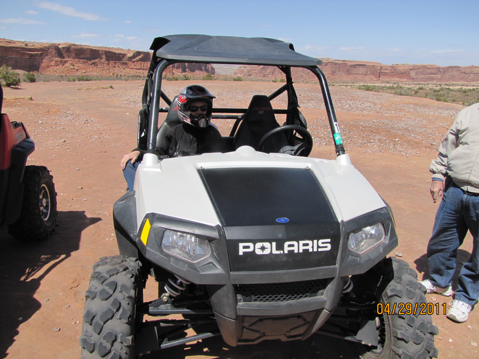
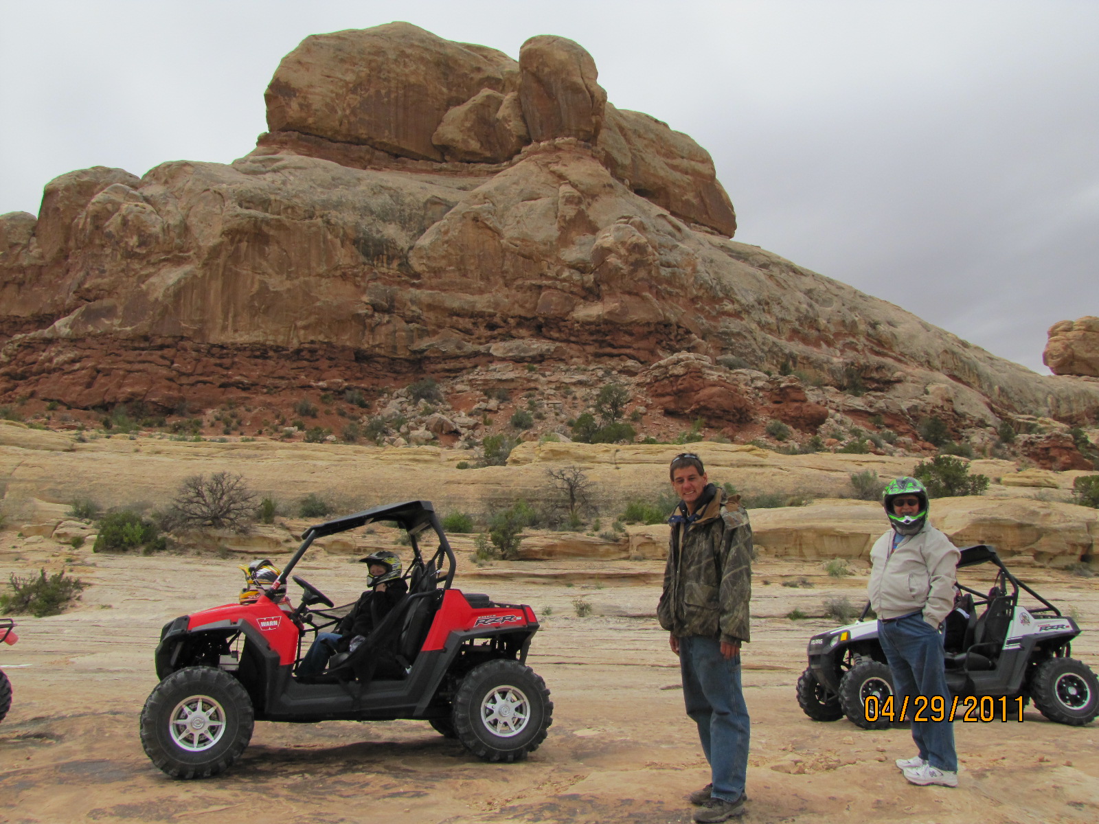
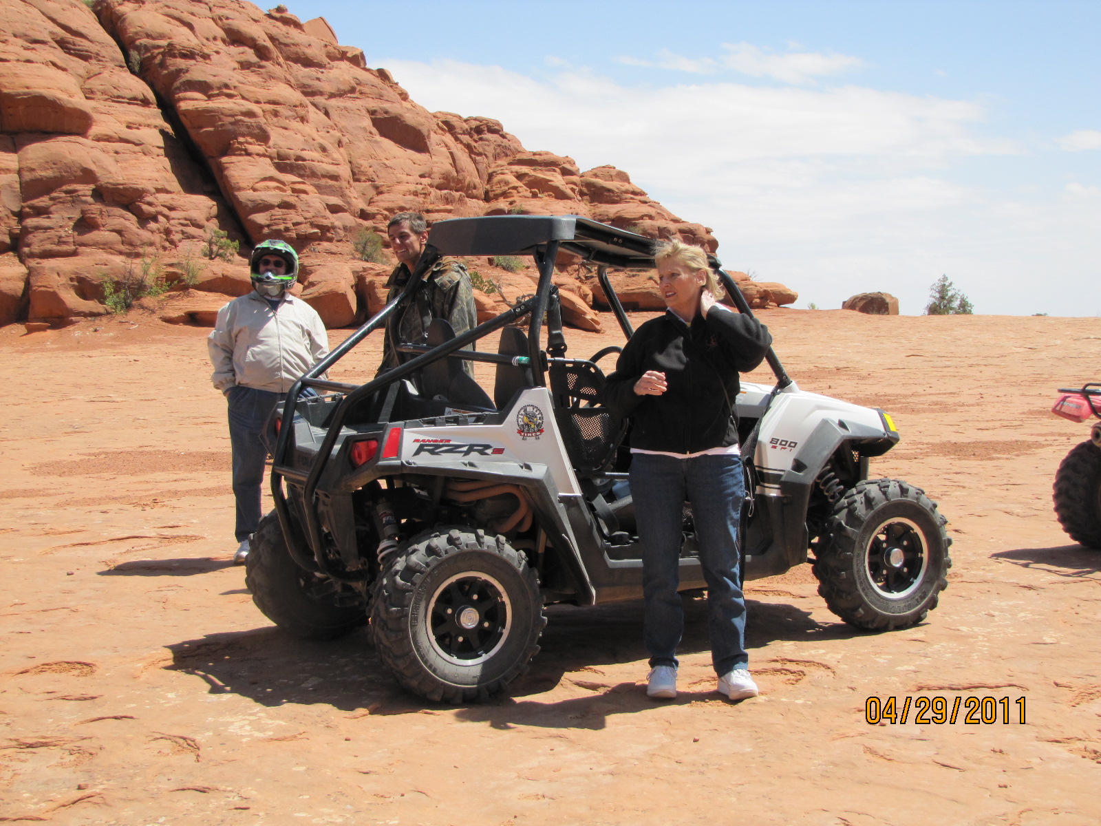
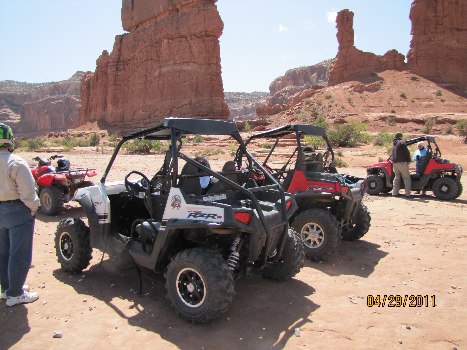
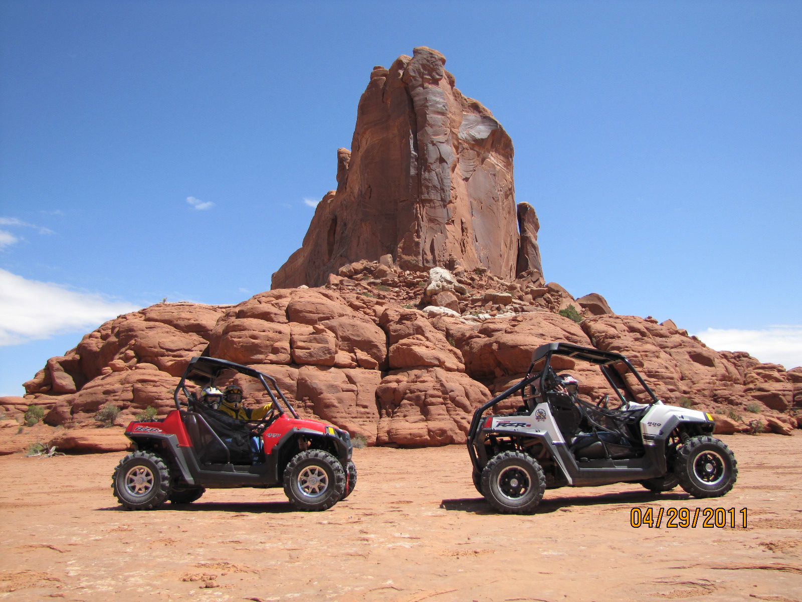
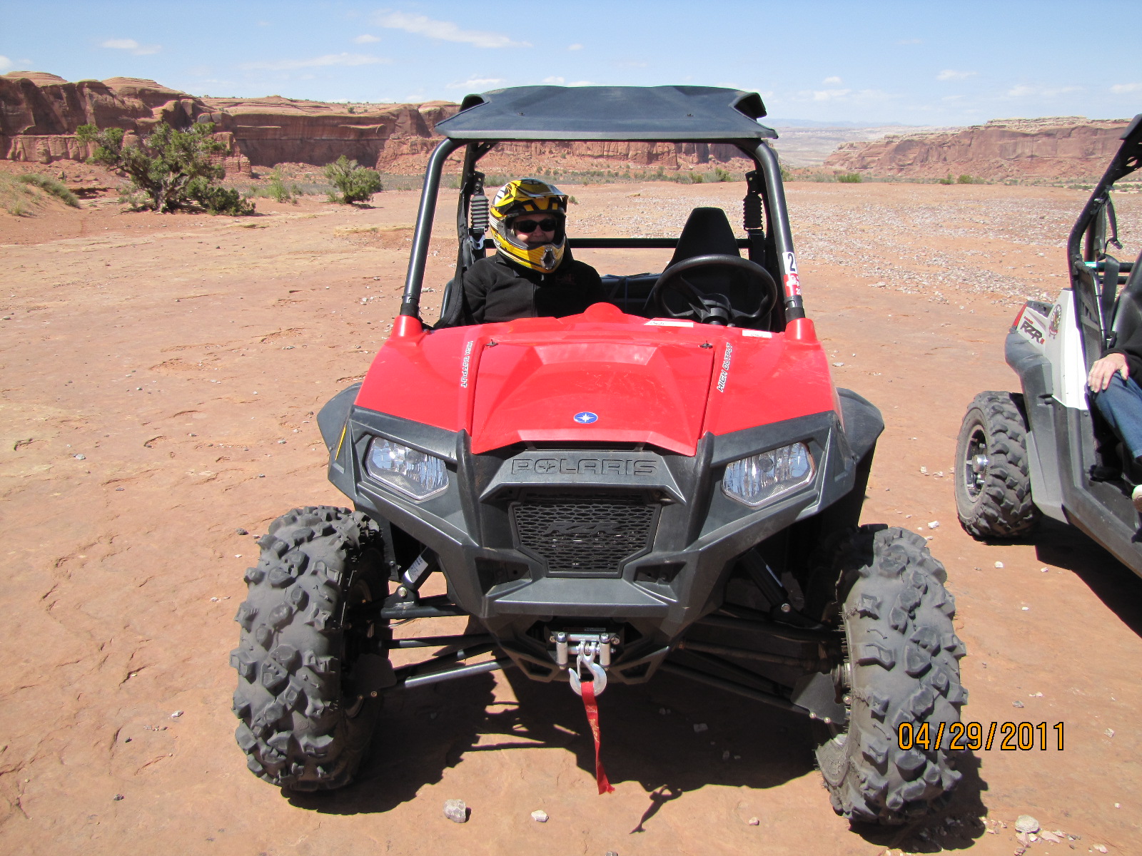
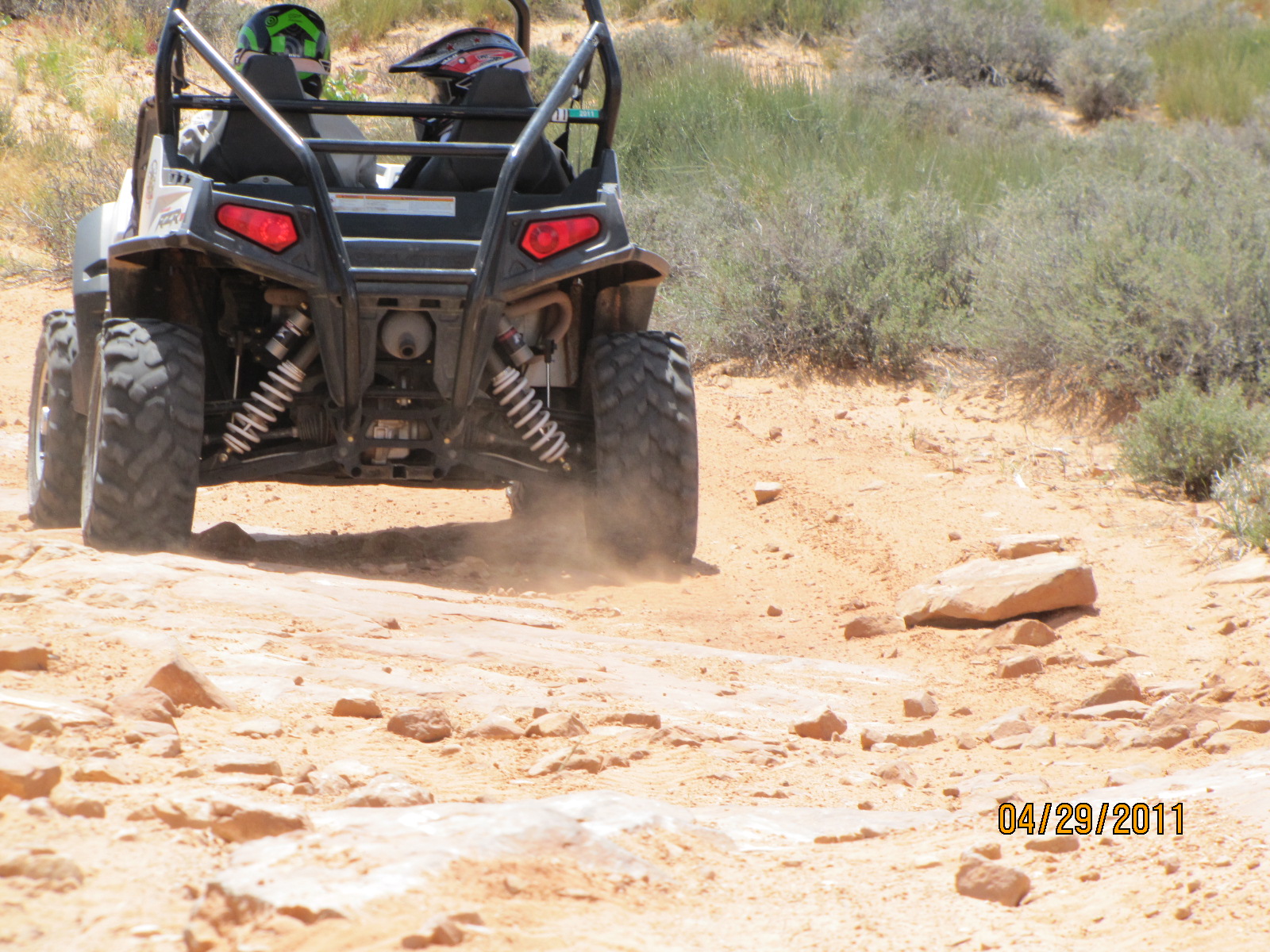
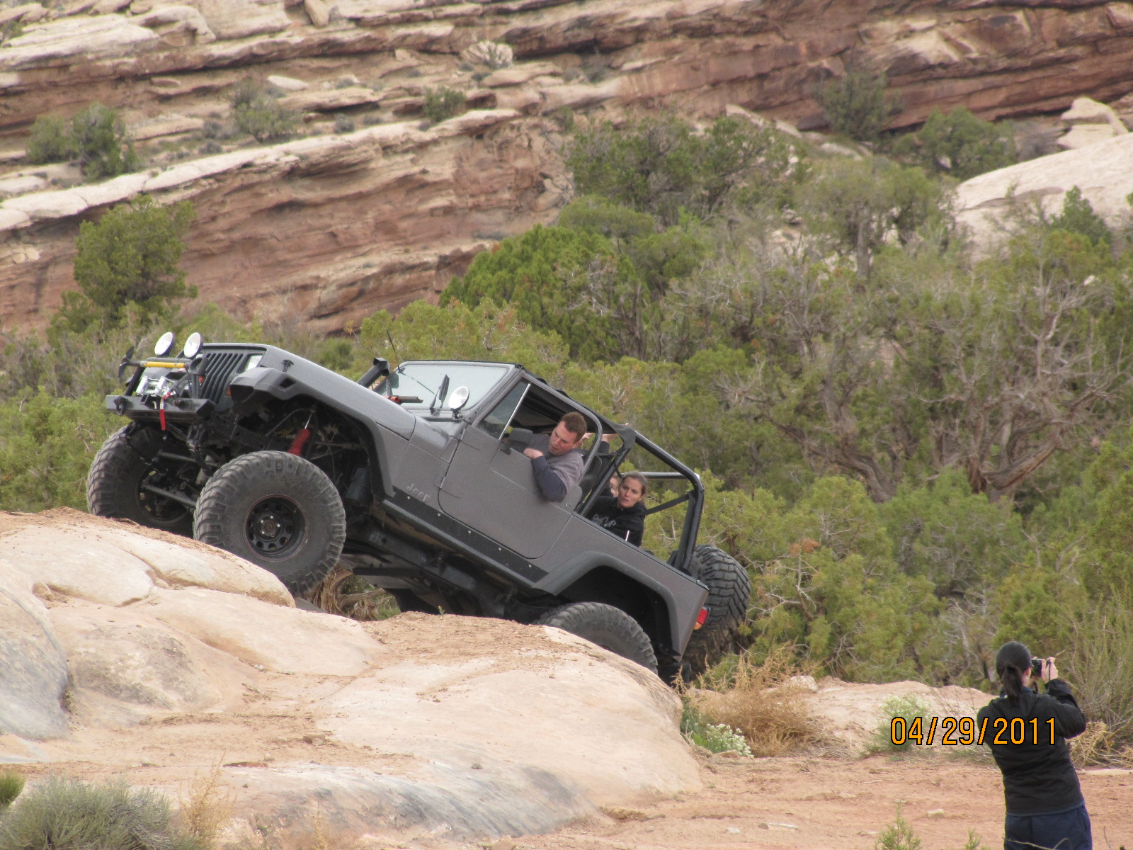
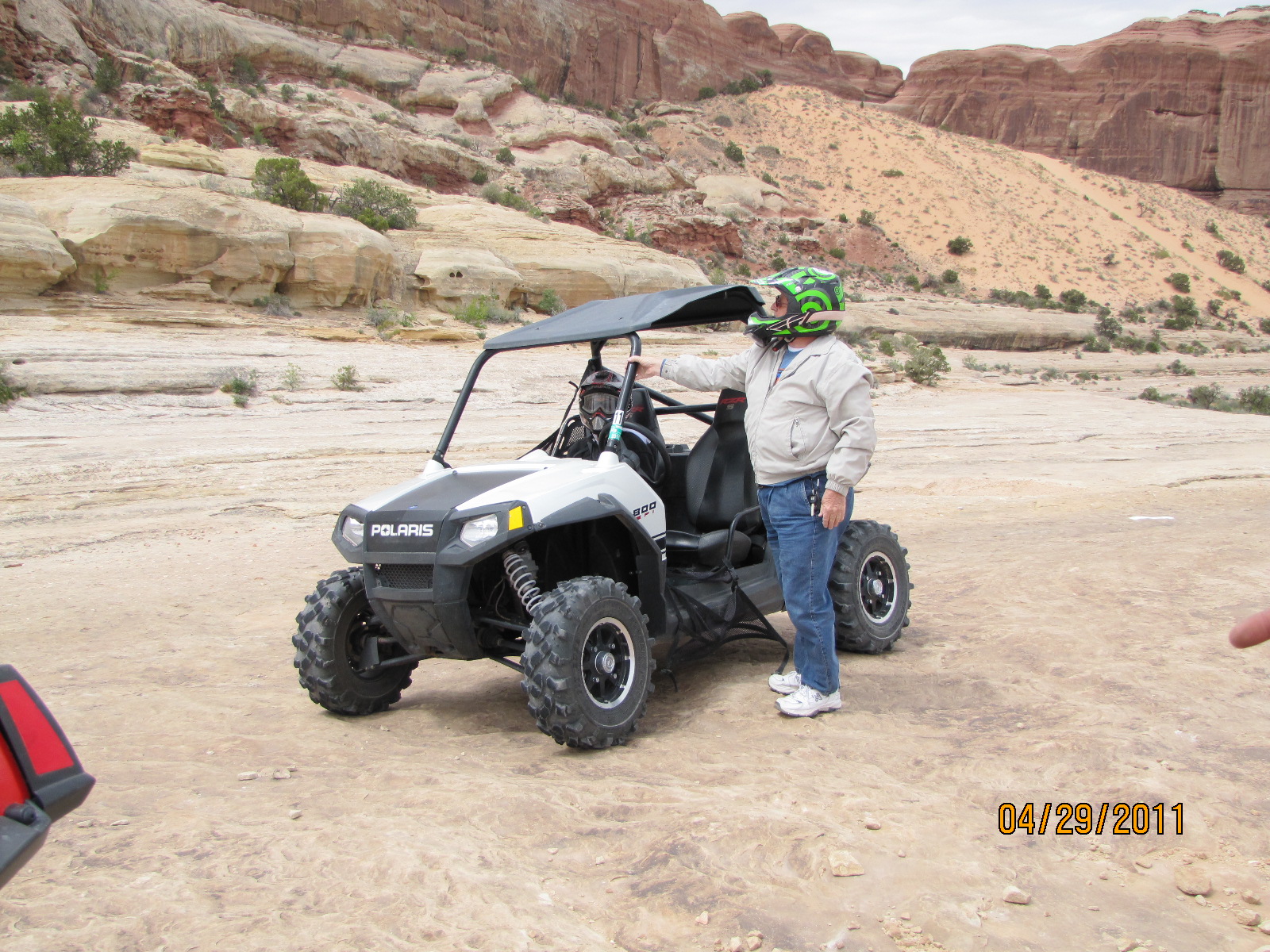
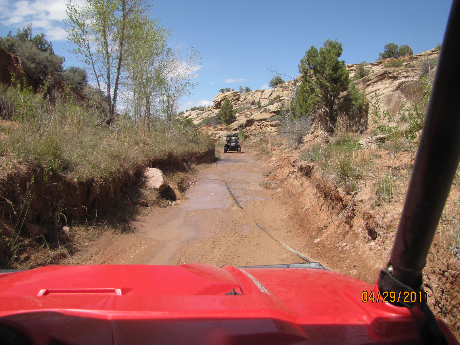
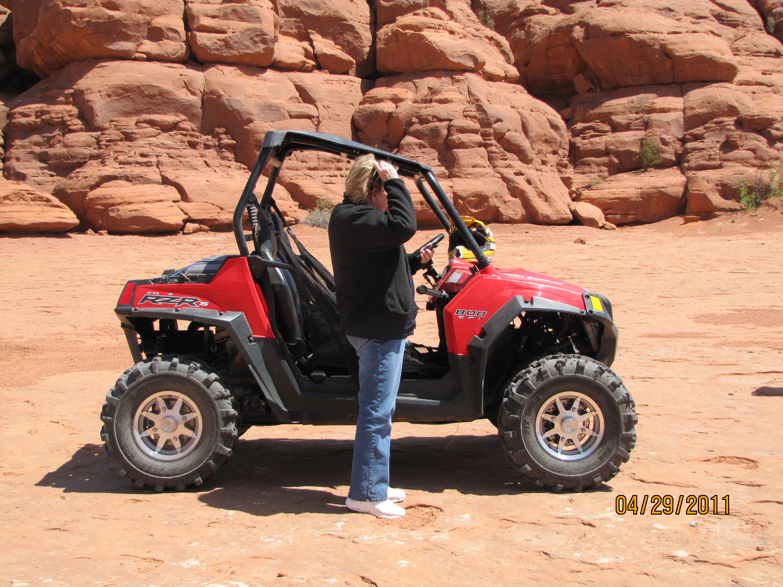
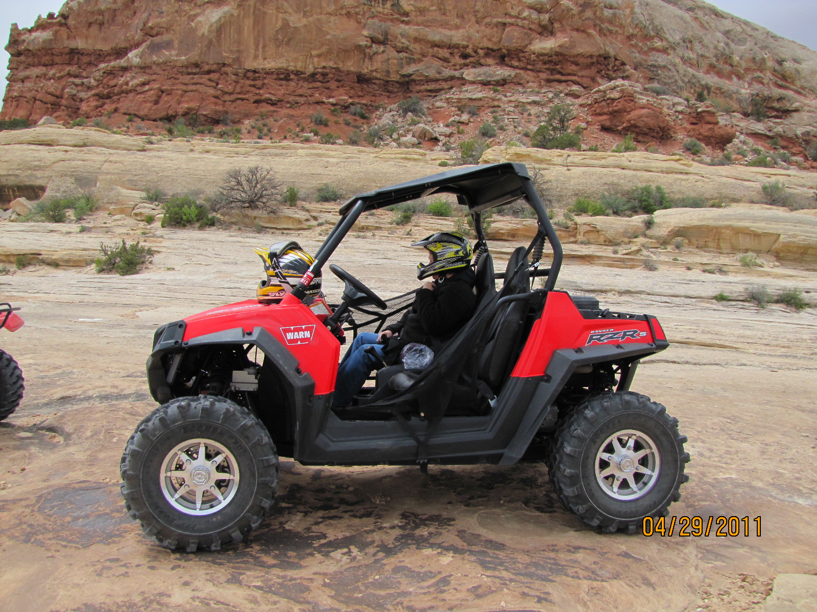
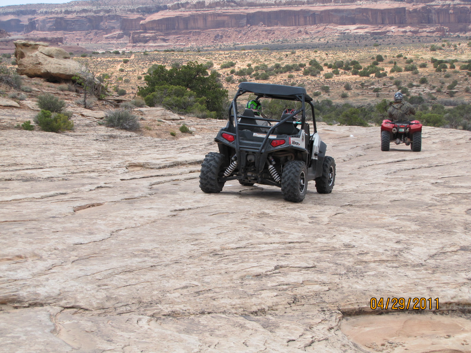
We arrived in Moab around 11:00, checked in at High Point Hummer and verified our ATV rental for 1:00. The Rhinos were gone so High Point upgraded us to RZR-S at no additional cost. We later met up at the trailhead and picked up our guide and ATVs. It was a great 4 hour ride with a combination of rough, rocky climbs to smooth sandy trails. We made several stops where the guide educated us the rocks and cliffs and took us to the location (Determination Point) where the Jeep and Marines made their commercials. You remember the Jeep commercial where they placed the Jeep on top of the red rock?
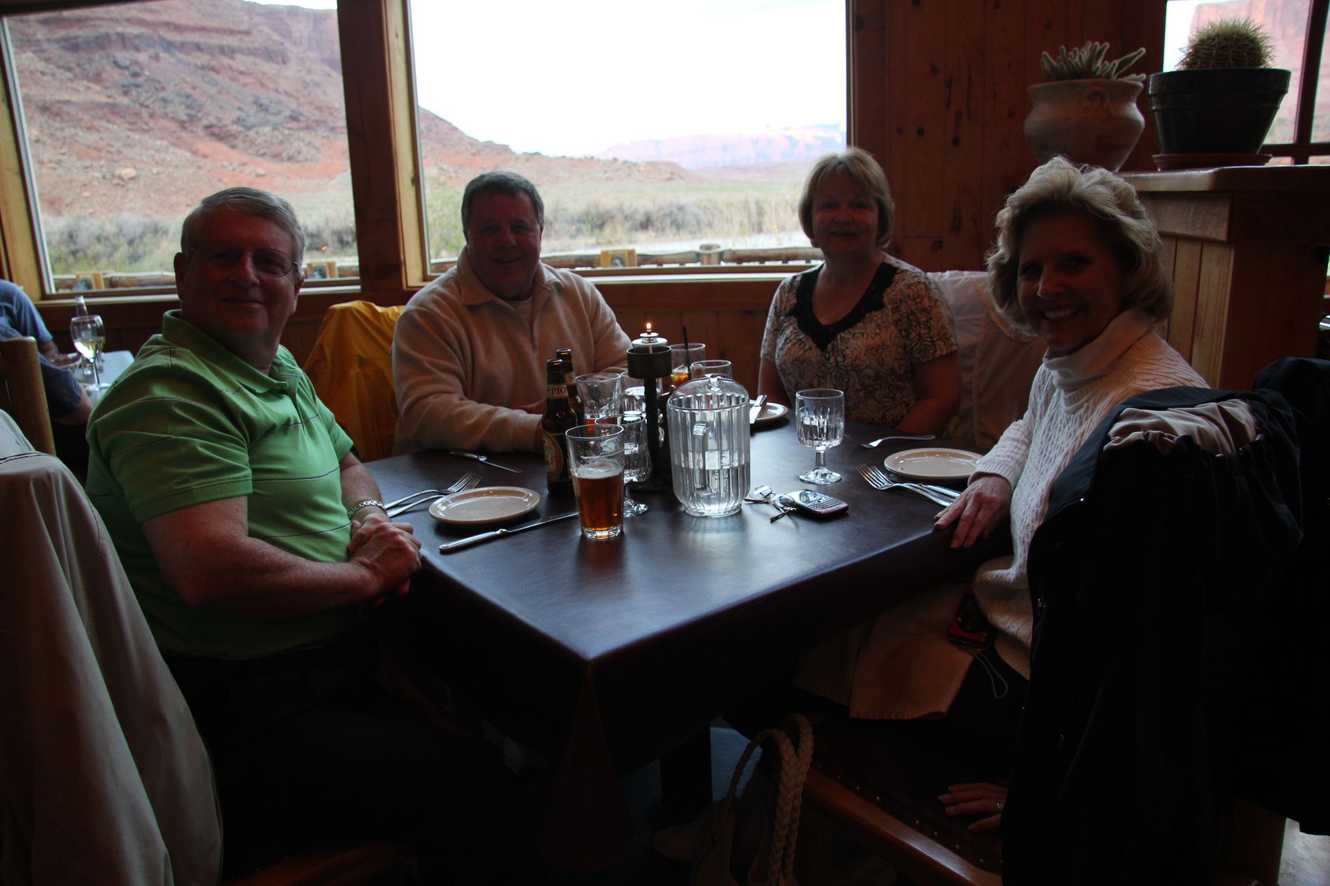
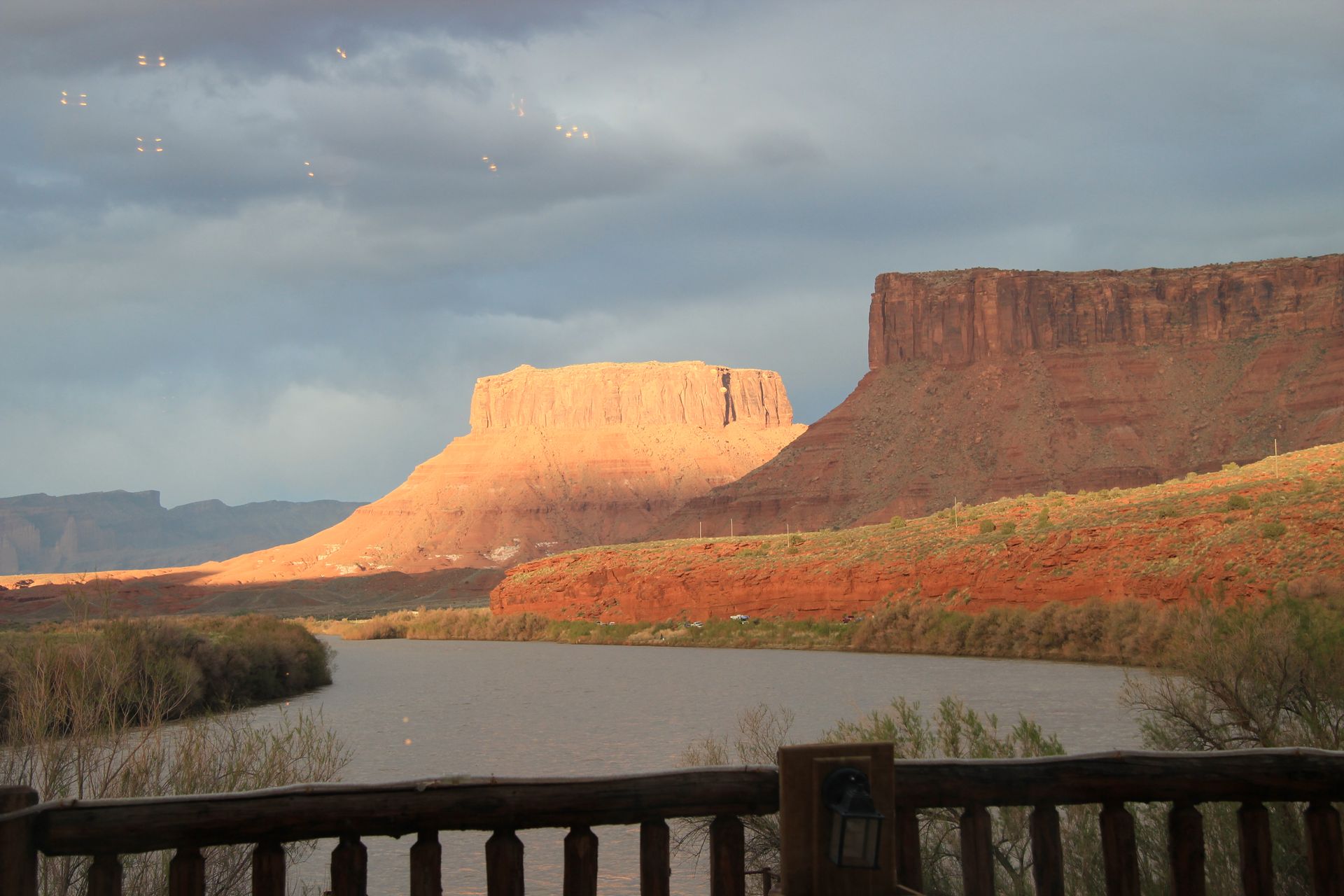
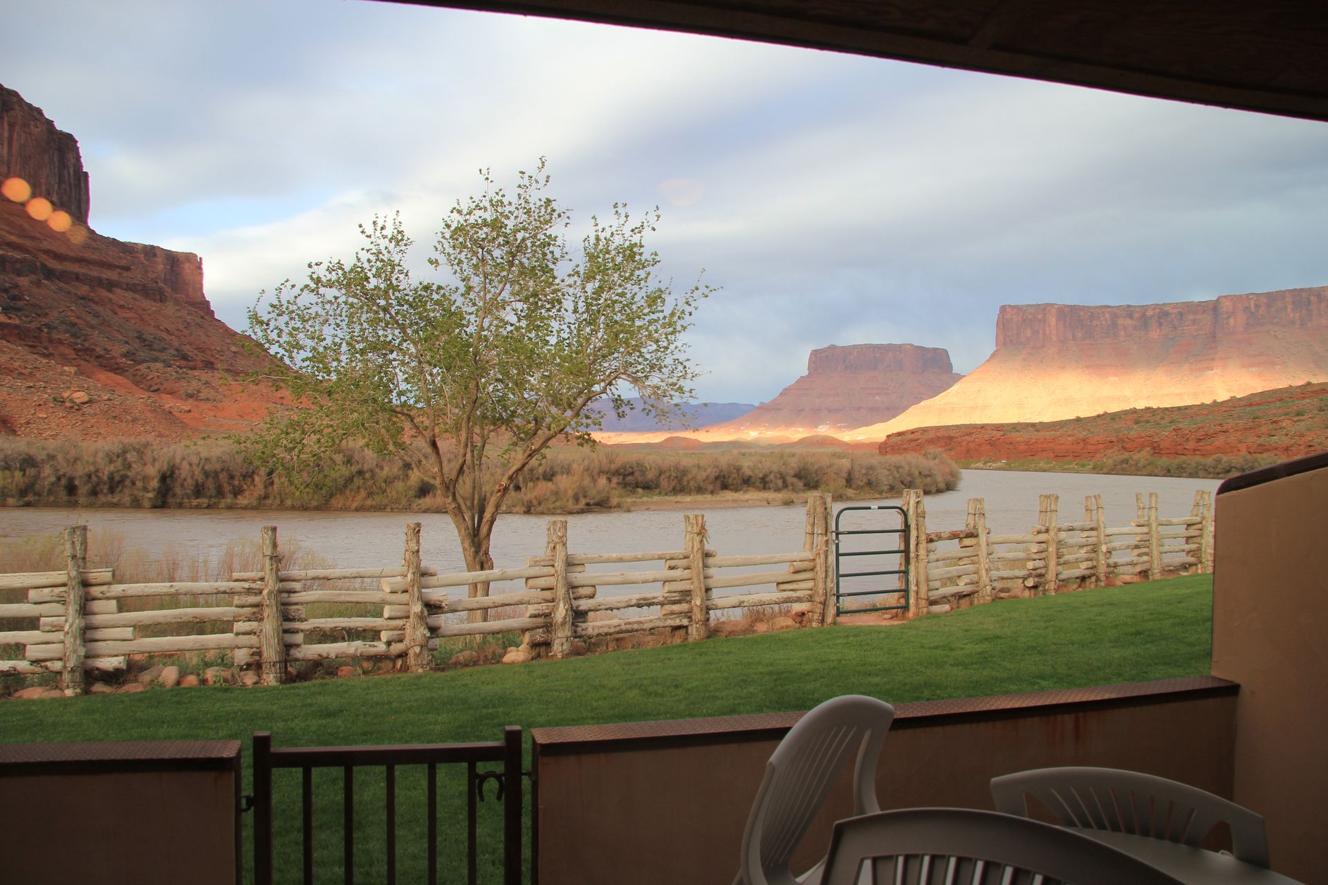
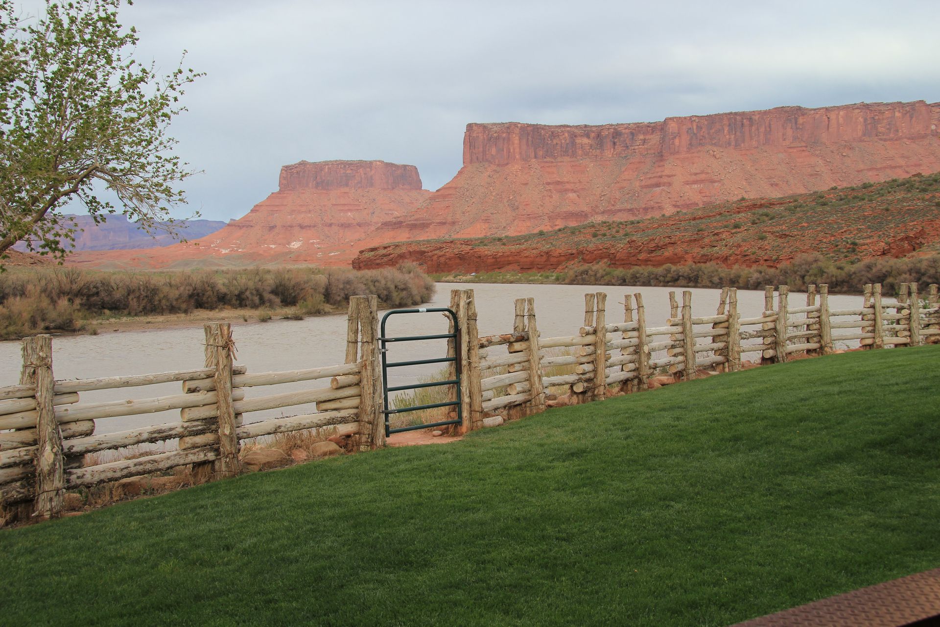
We finished up around 5:00 and drove out to Red Cliffs Lodge about 14 miles outside of Moab. Our suite has a patio that overlooks the Colorado River and the back side of Arches National Park. We had dinner at the lodge.
Arches and Canyonlands NP
- Day 13, Sat, Apr 30, 2011
- Google Map - None
- Links
- Arches NP
- Canyonlands NP
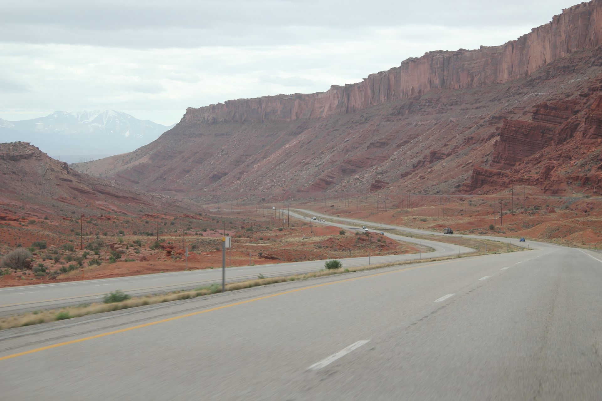
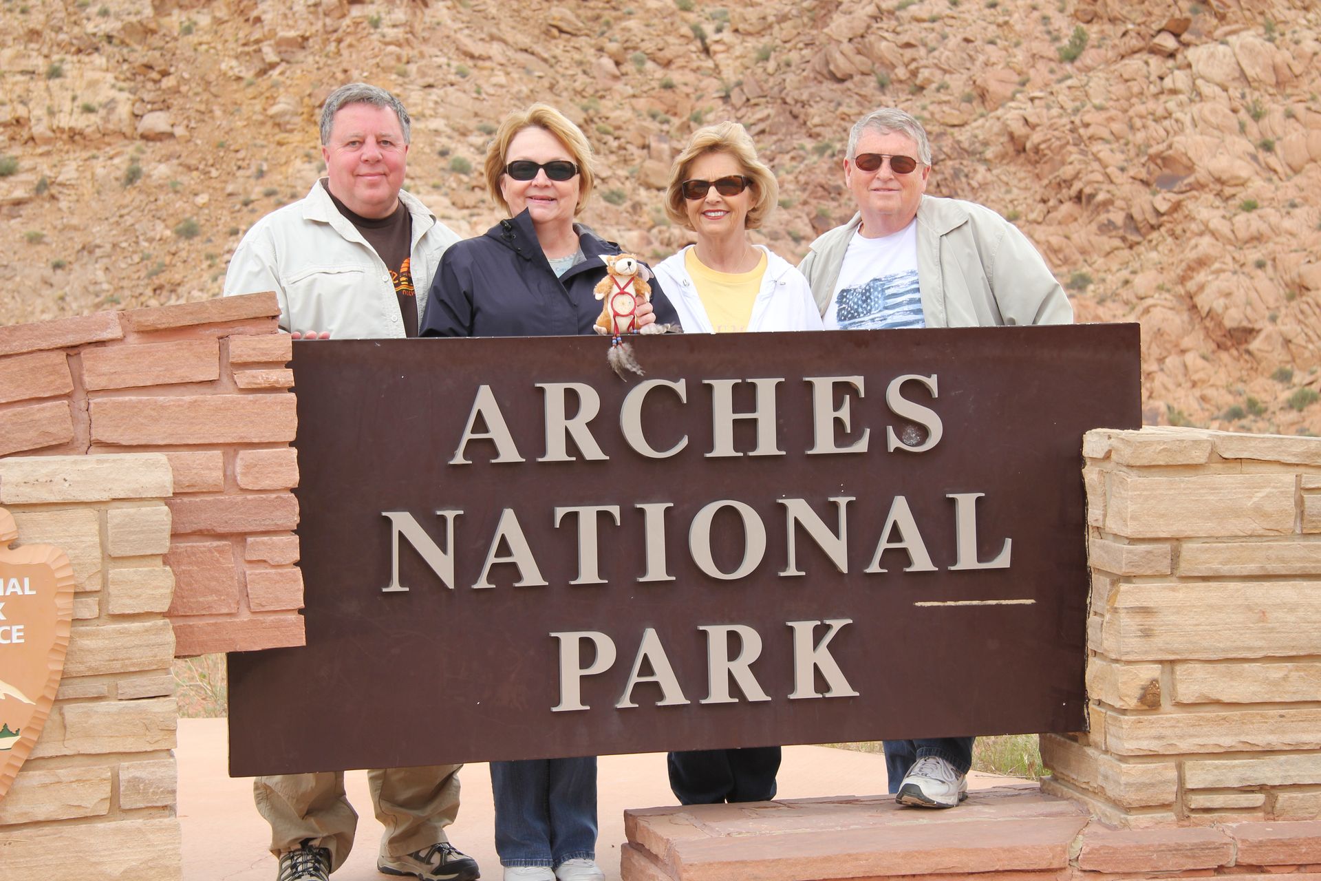
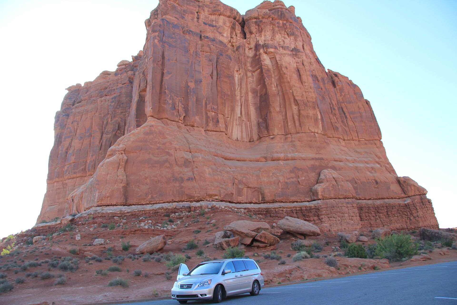
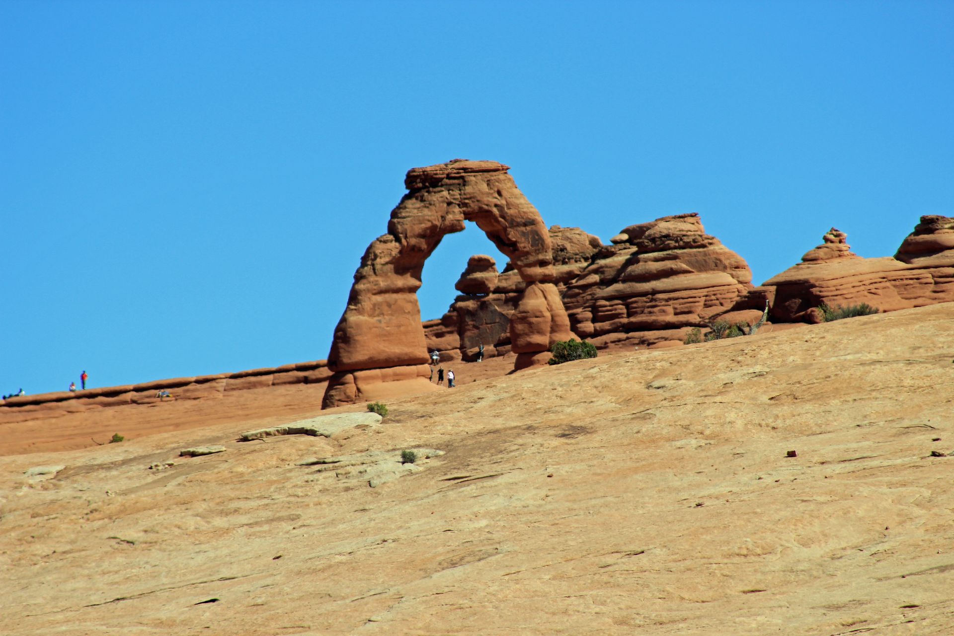
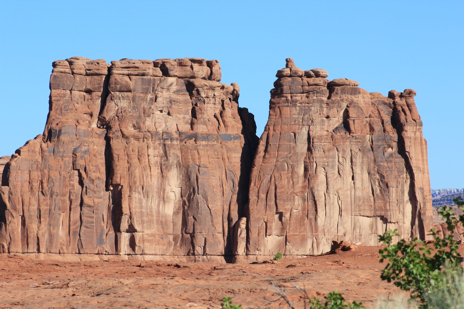
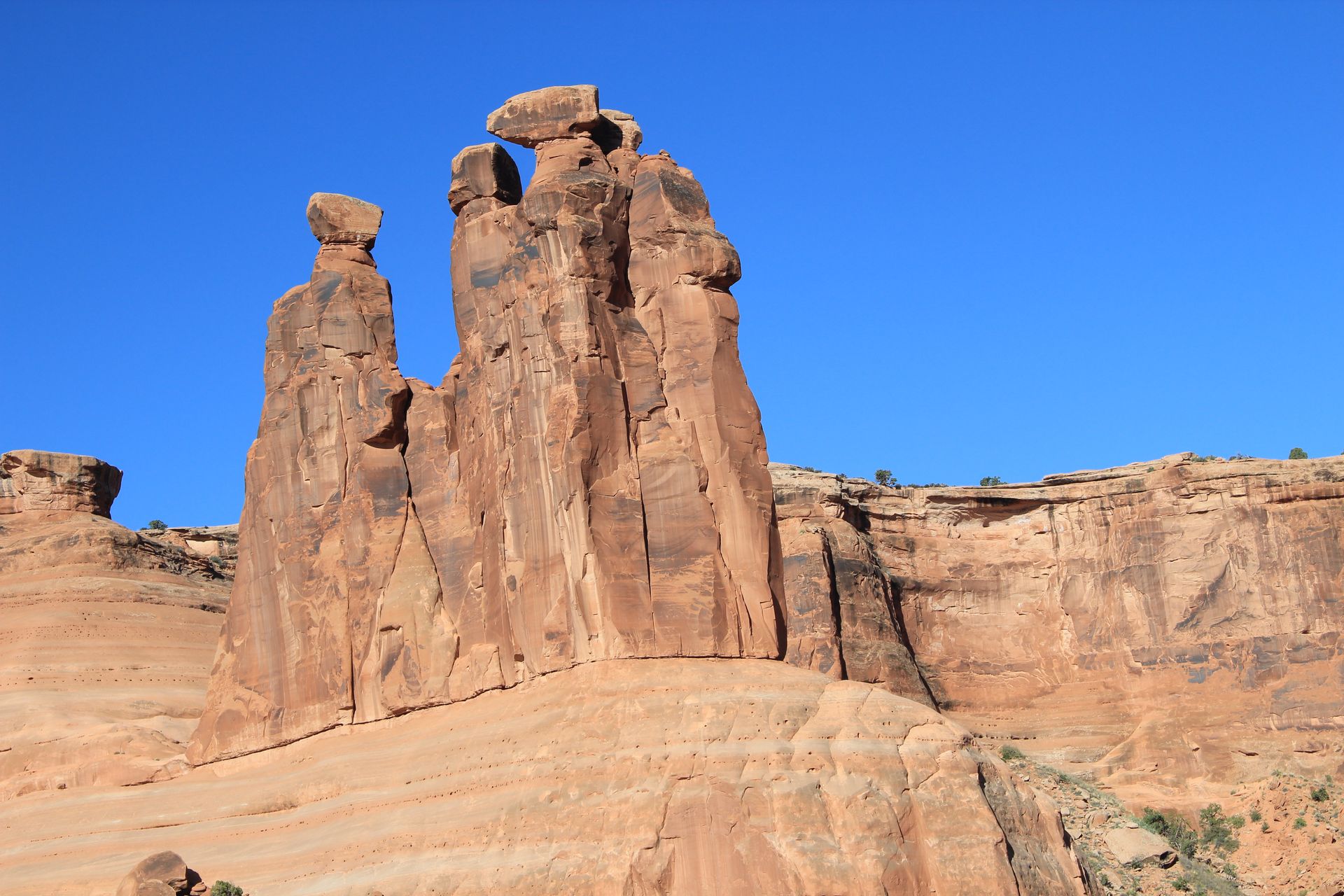
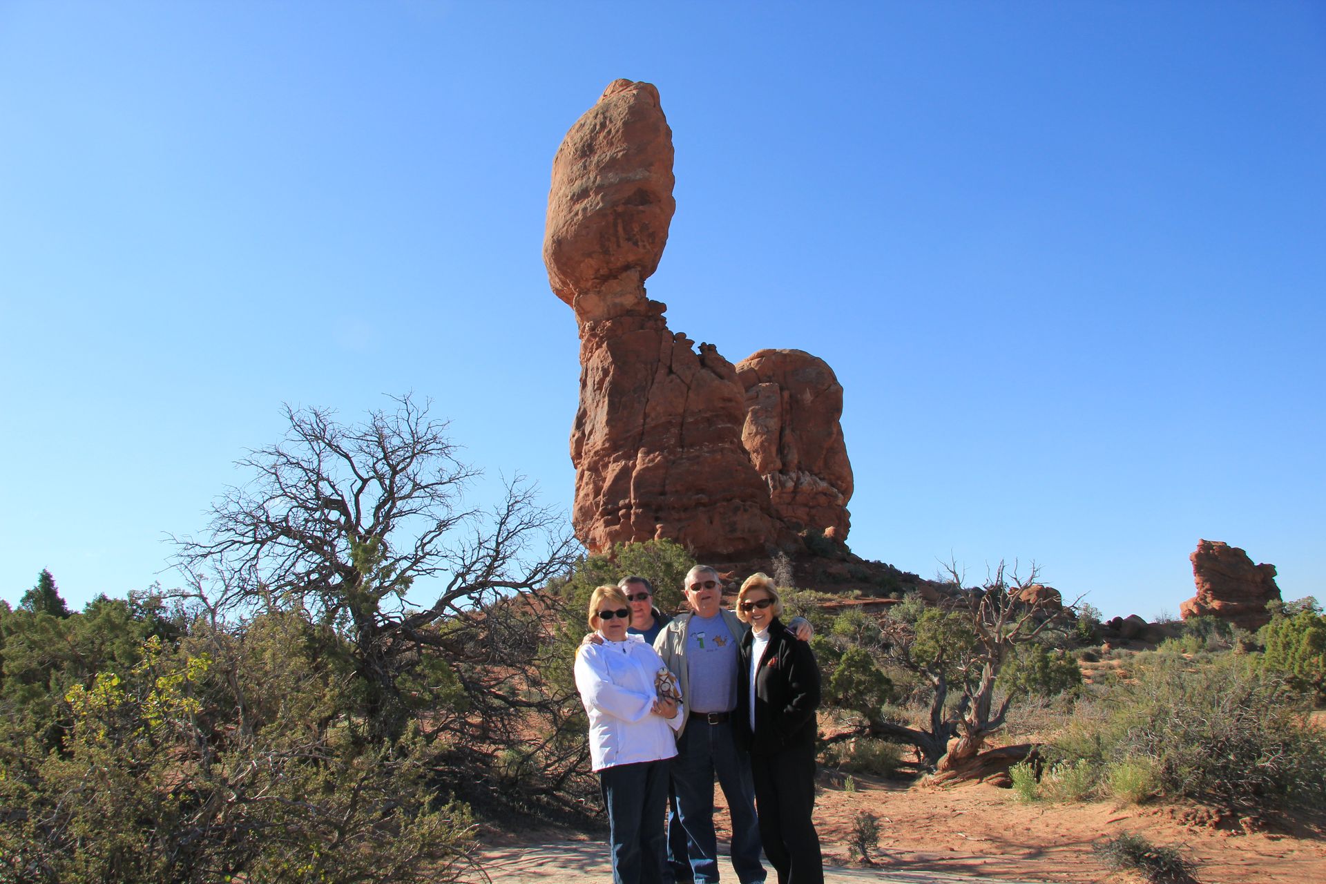
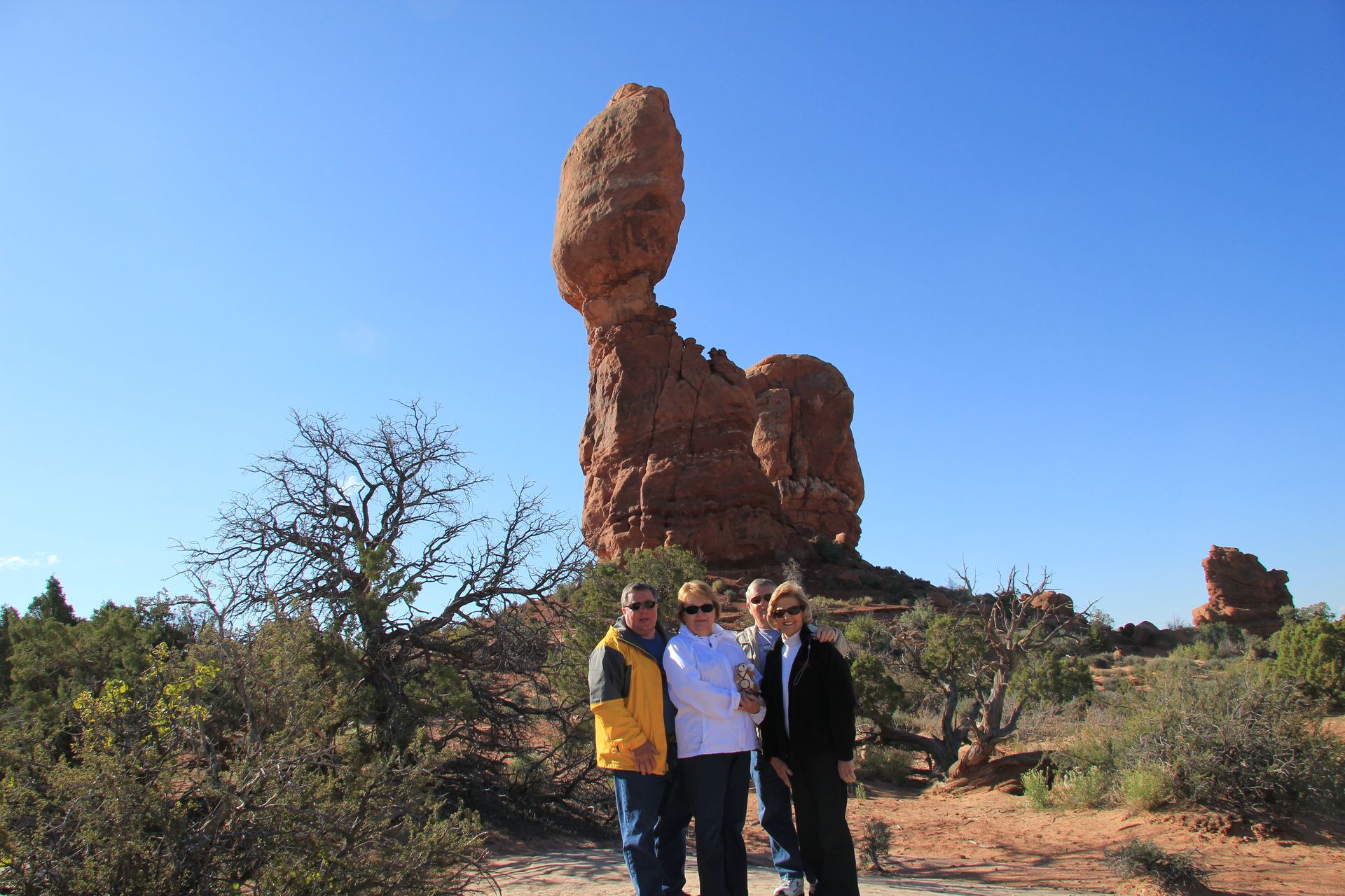
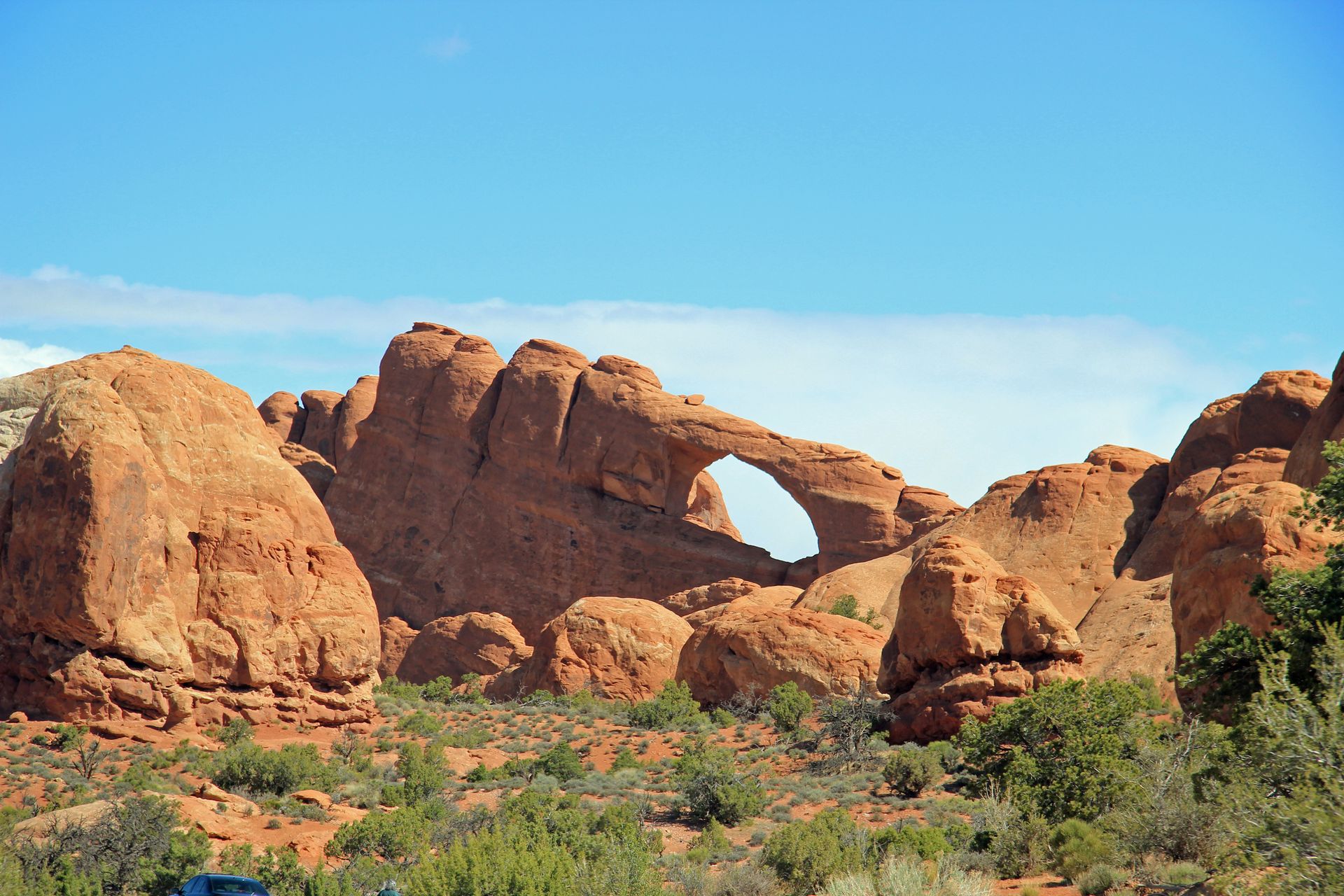
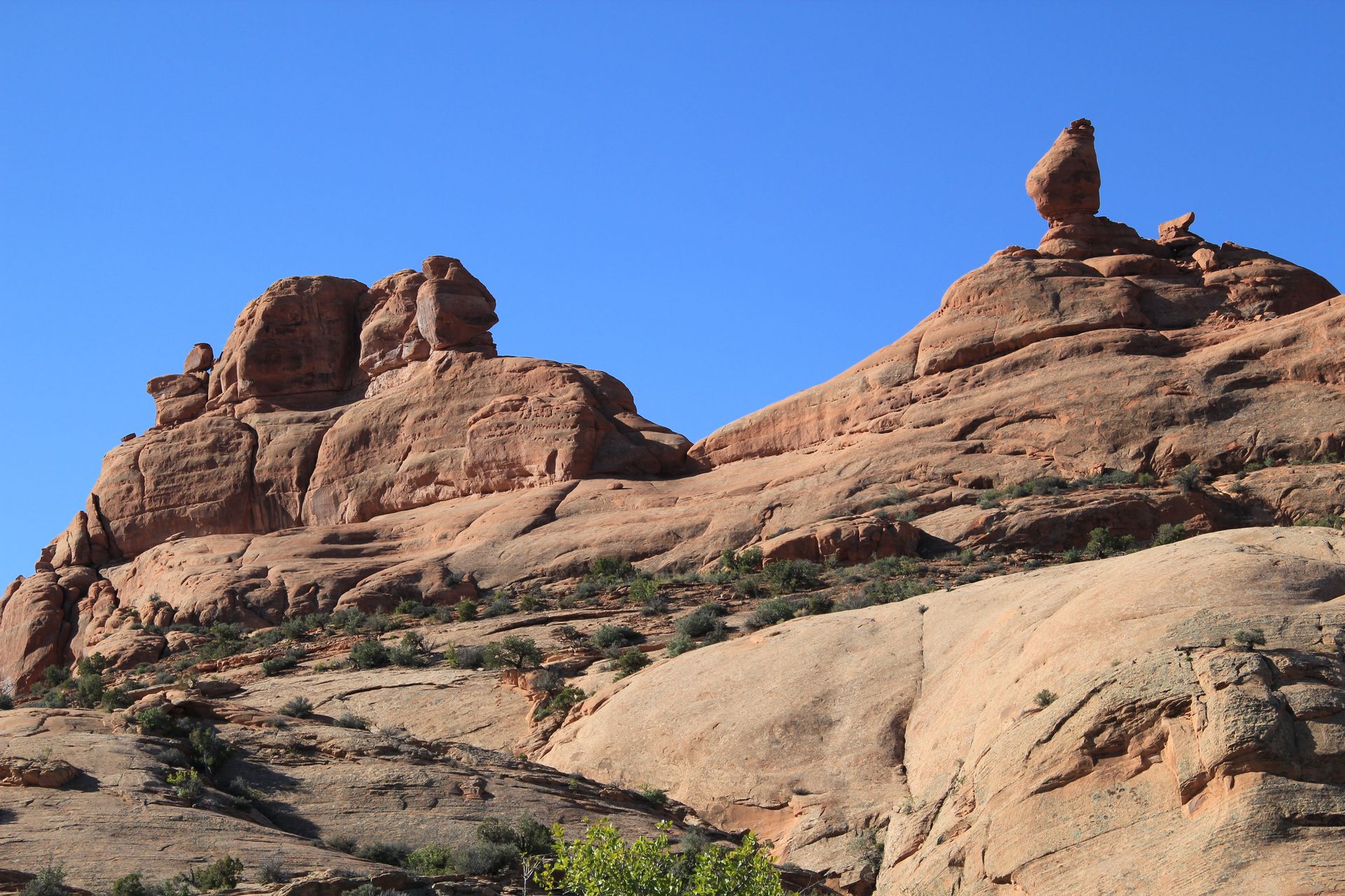
We left hotel this morning around 8:00 and went to Arches National Park. This is our last day in Moab so we had to cover both Arches and Canyonlands. We checked through the gate, got our map and went to work, stopping at all the highlighted spots.
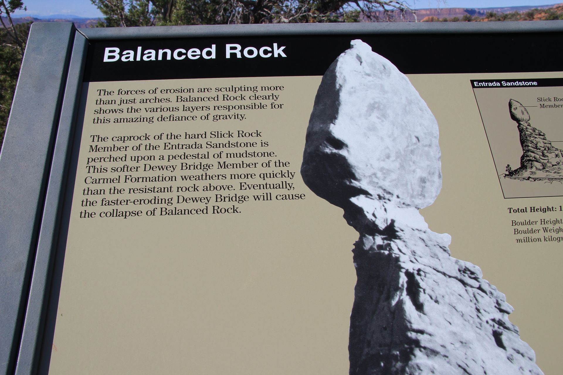
Arches is amazing even though we have been looking at red rocks all across the state, the arches and balanced rocks are incredible to see. After handling some of the sandstone during the ATV ride yesterday and realizing our soft it is, I don’t see how these formations continue to stand.
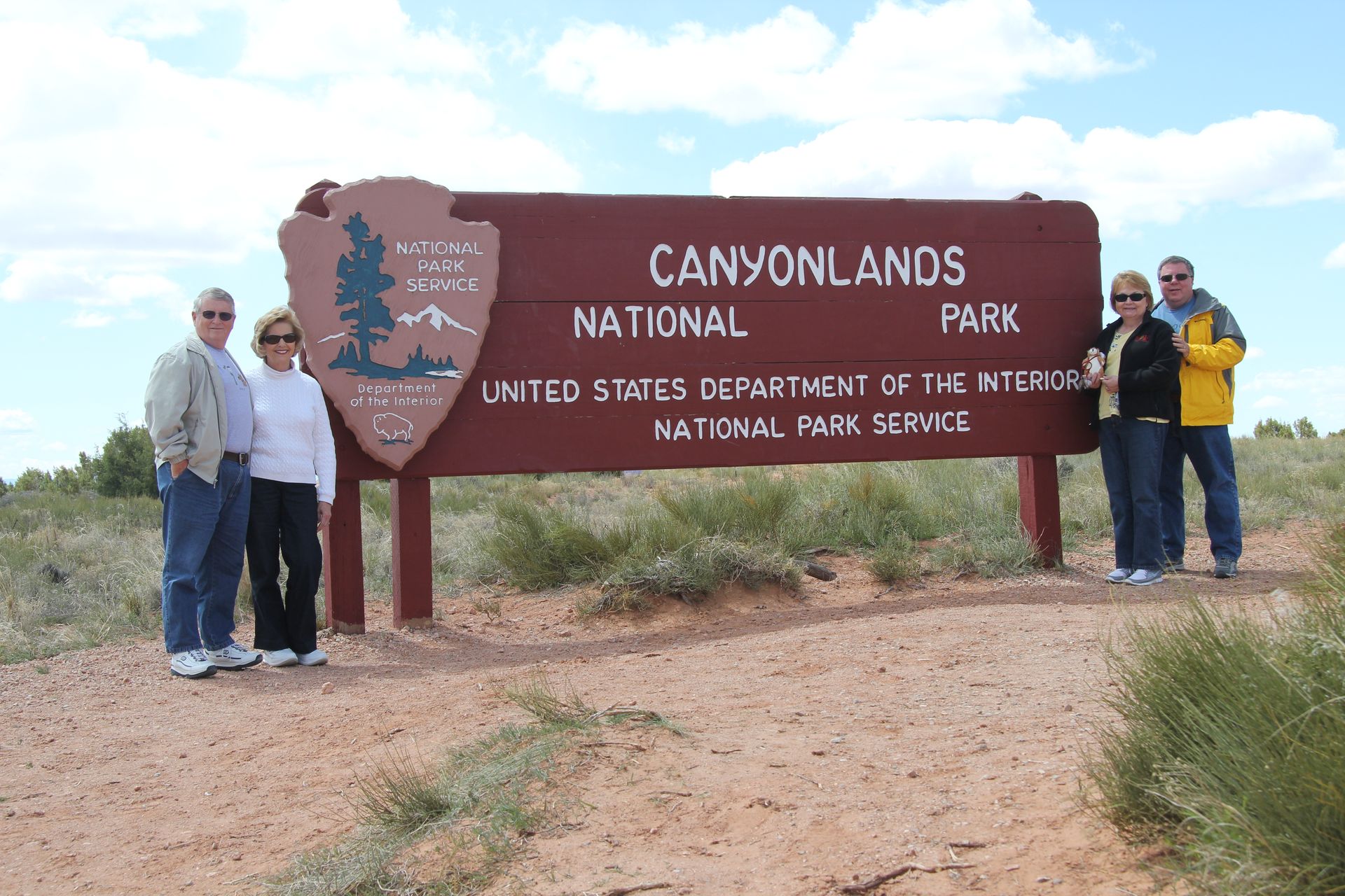
We left Arches around 11:30 and headed out to Canyonlands. While Arches is just a couple of miles out of Moab, Canyonlands is 25 miles away and is so large (281 square miles). We stopped and had the normal sign photo and went to the Visitor’s Center.
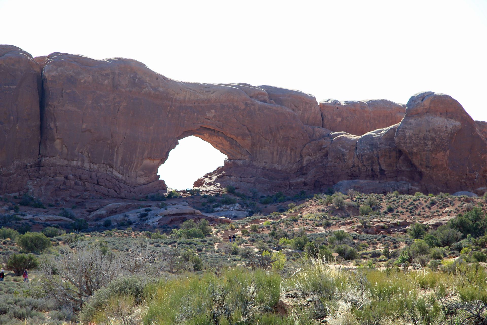
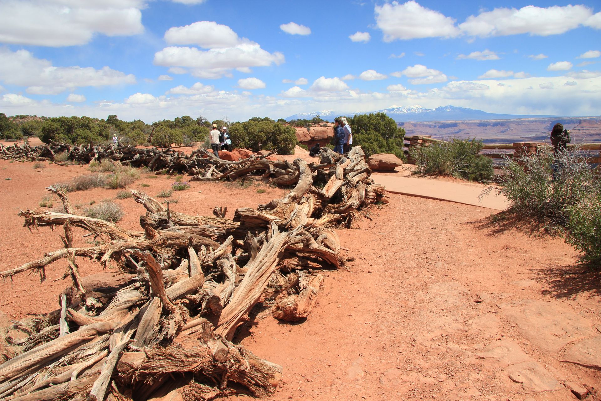
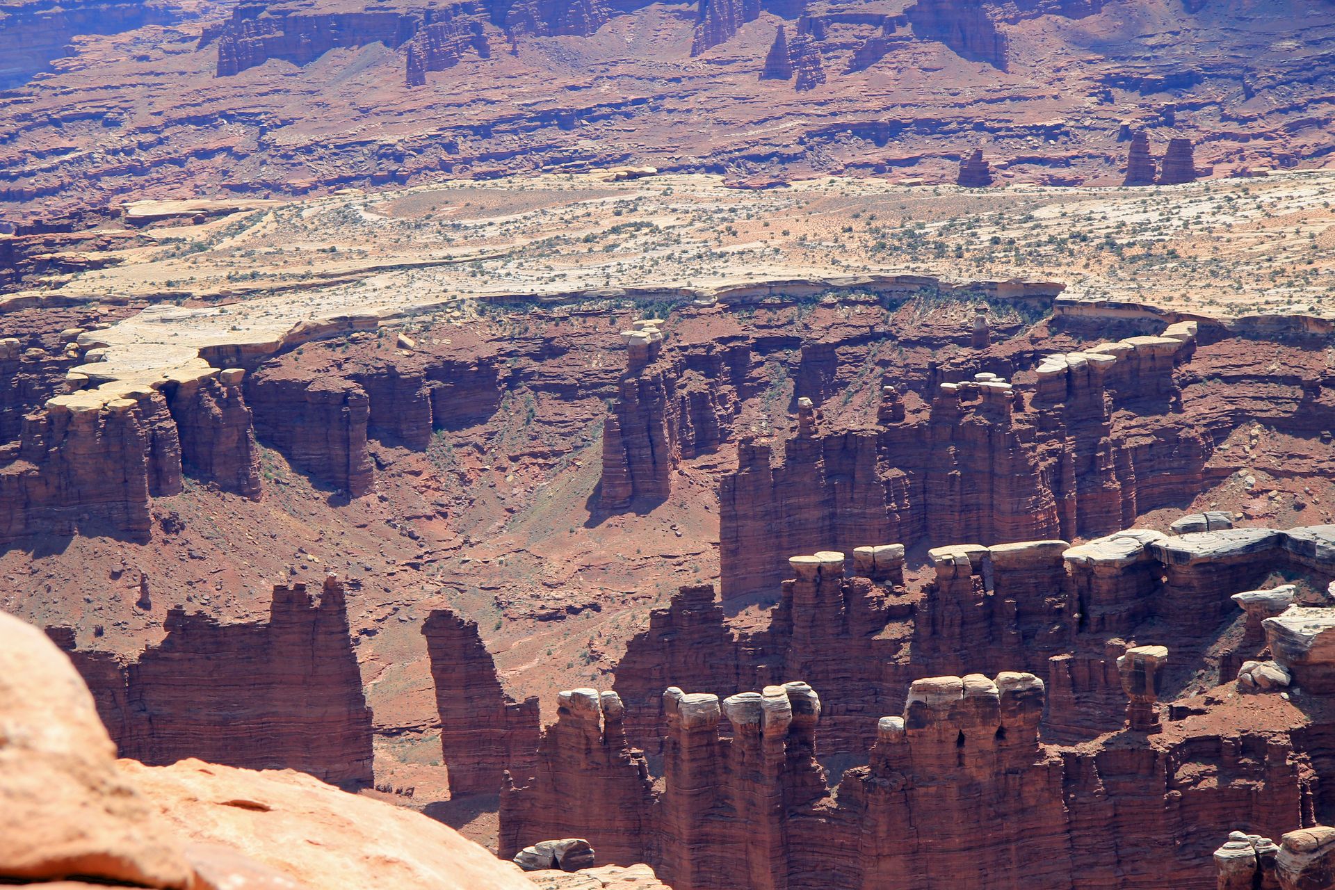
We picked up the map and drove 12 more miles to Grand View Point. The camera cannot do it justice. At Grand View Point you have a 270 degree view of the canyon, which looks wider, but not as deep as the Grand Canyon. We took a few pics and headed to the Mesa Arch. We walked ¼ to ½ mile up to the arch which was hidden behind a small hill. You don’t see the arch until right at it. I took a couple of pics and then we headed back to Moab for lunch and shopping.
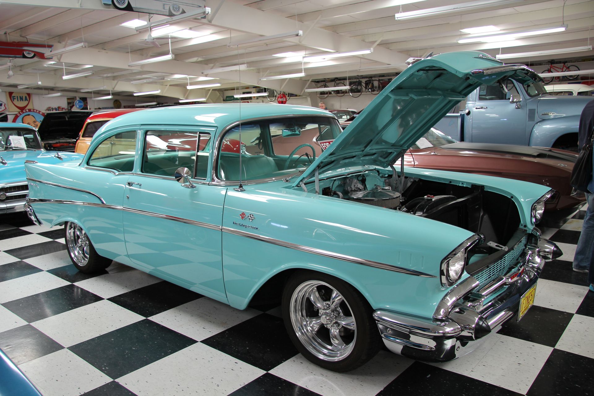
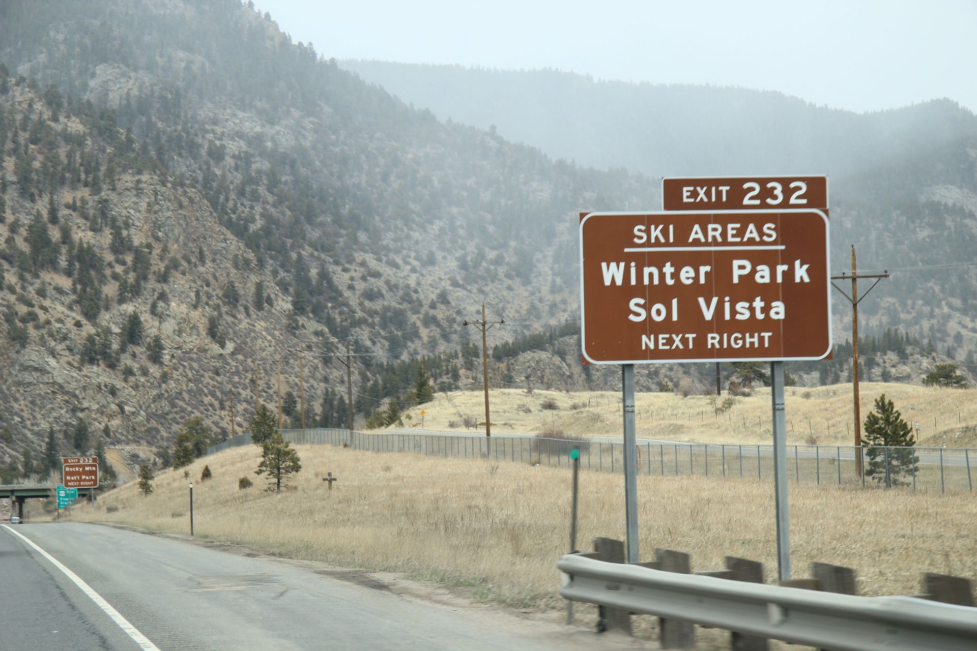
We had lunch at Zax’s in Moab and then shopped. There was a car show in town and all the cars (hot rods to classic muscle cars) just cruising up and down main street. I took about 50 pictures which I’ll throw up on Ofoto – let me know if need the link to look at them. We came back to Red Cliffs and decided to change our itinerary for tomorrow. We were going to drive to Glenwood Springs but decided to drive on to Golden, CO instead. It will be just 60 miles to Estes Park and the Rocky Mountain National Park.
Red Cliffs Lodge (Moab, UT) to Glenwood Springs, CO (actually Denver)
- Day 14, Sun, May 1, 2011
- Google Map - 170 miles
- Links
- Along the way
- Just Driving
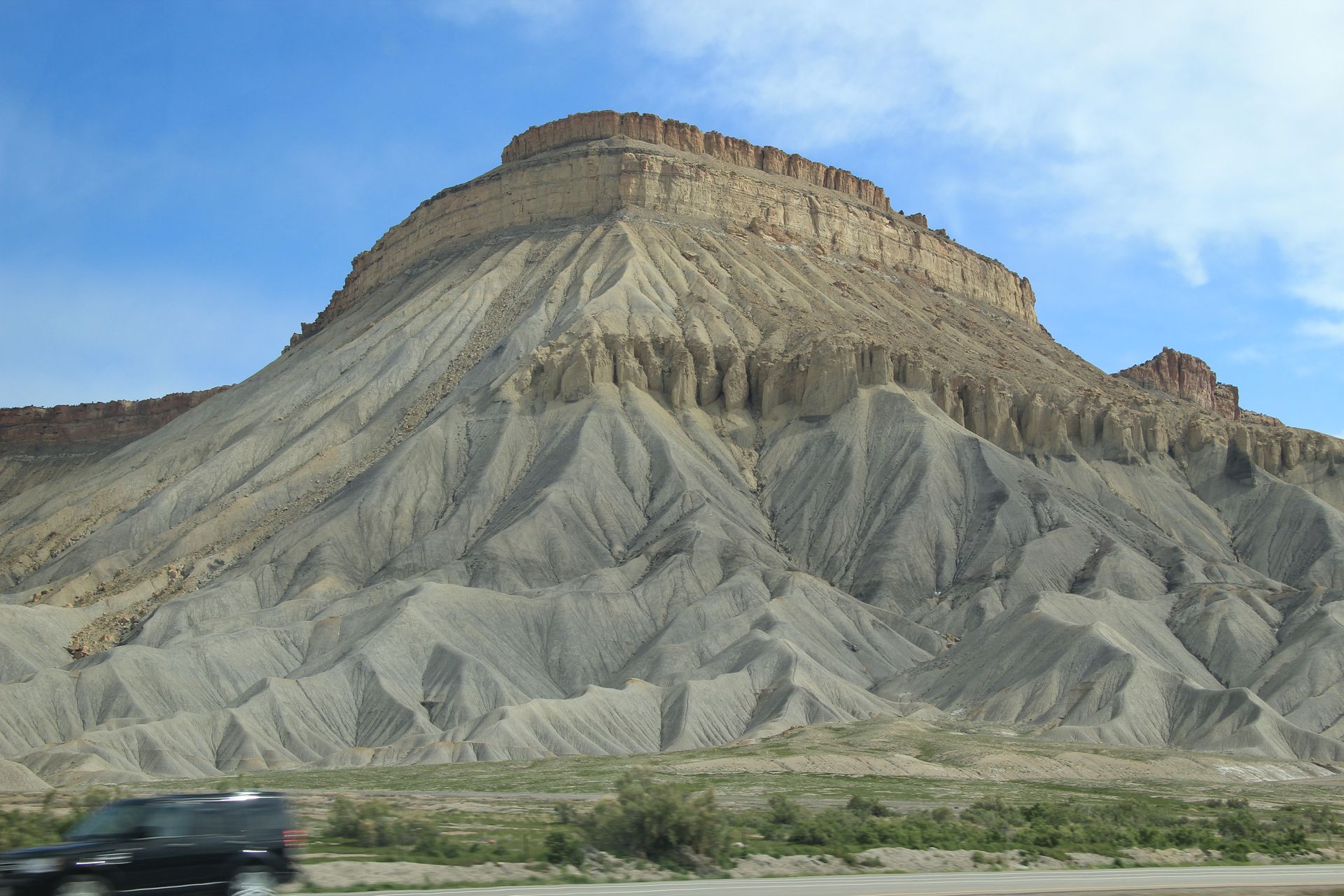
- Grand Junction, CO
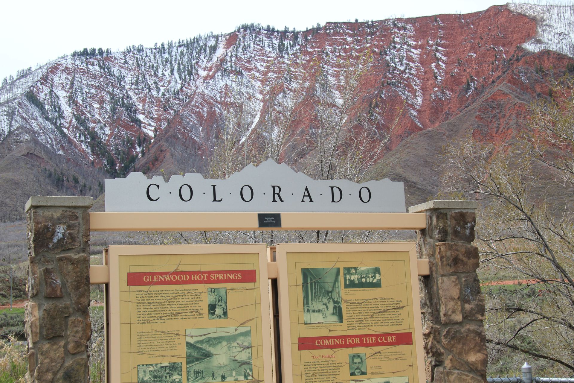
- Glenwood Springs
- All Hotels
- AAA Hotels
- Residence Inn - Glenwood Springs - $121/AAA*
- Courtyard - Glenwood Springs - $107/AAA
- National Parks
- None
We bid farewell to Red Cliffs Lodge around 7:30 this morning and headed east on UT-128. David was driving and after about a mile he was not sure if he got his laptop. He pulled over, got out and went to back of van and checked – it was there. I decided to clean the windshield while we were stopped and hit the squirt button about the time David was coming up to the door. Not only did I was the windshield but washed David’s glasses and shirt. It was hilarious.
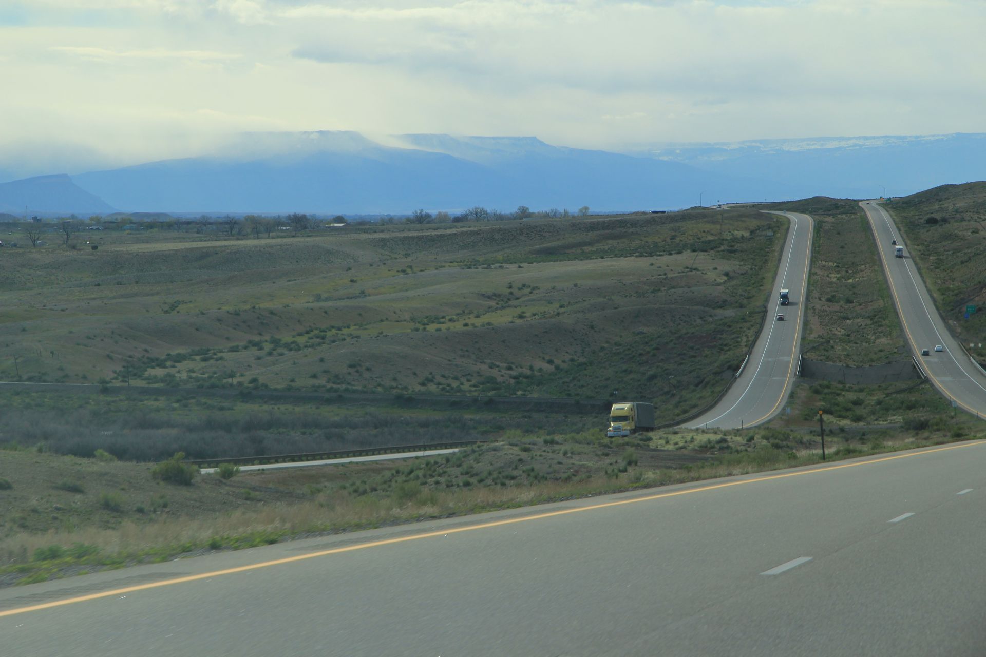
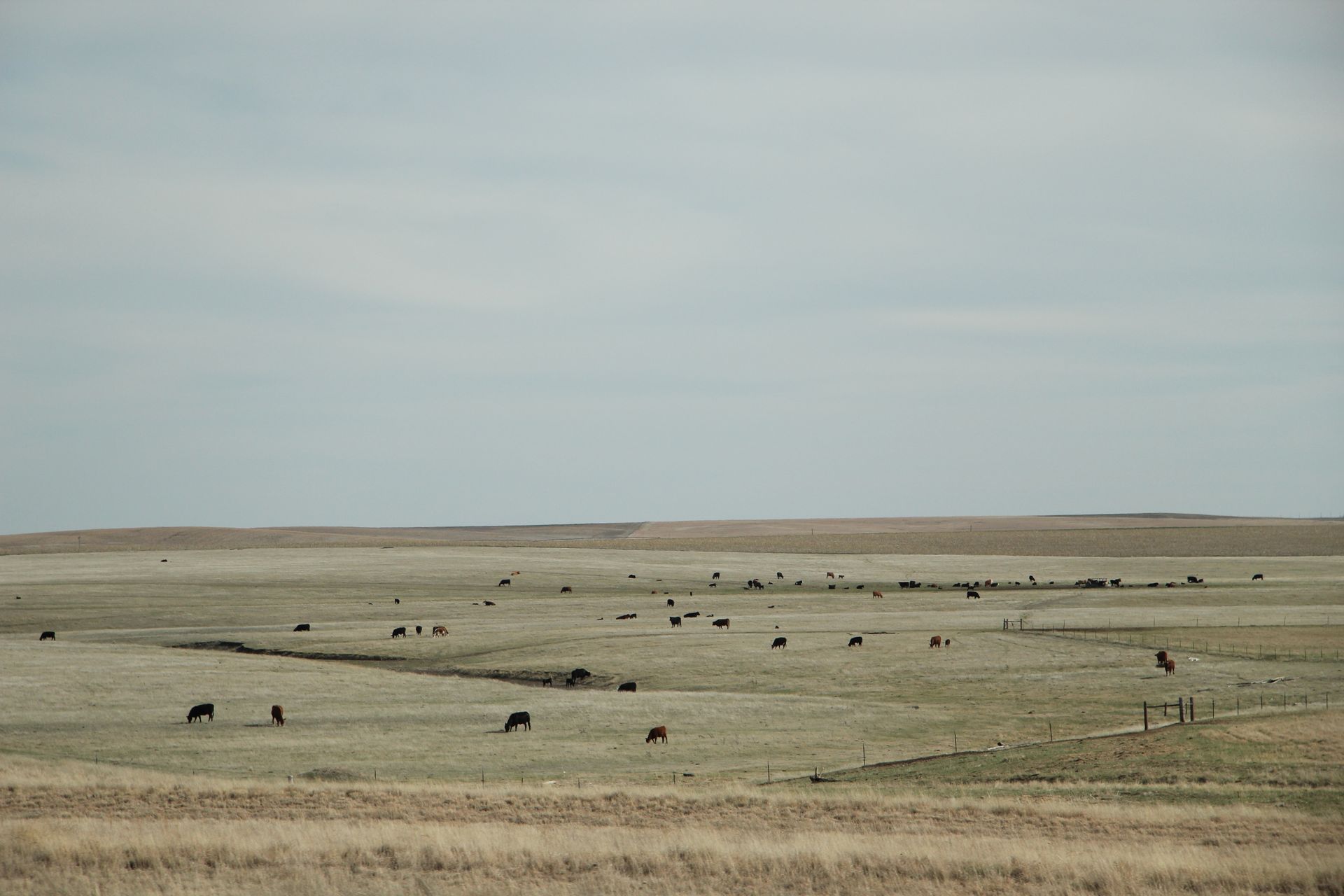
The drive was beautiful between the Colorado River and the red cliffs. After 20 miles we were back on the plains of the Colorado plateau and cattle were grazing next to the road (this is open range country). After 10 more miles we hit I-70 and headed east towards Denver.
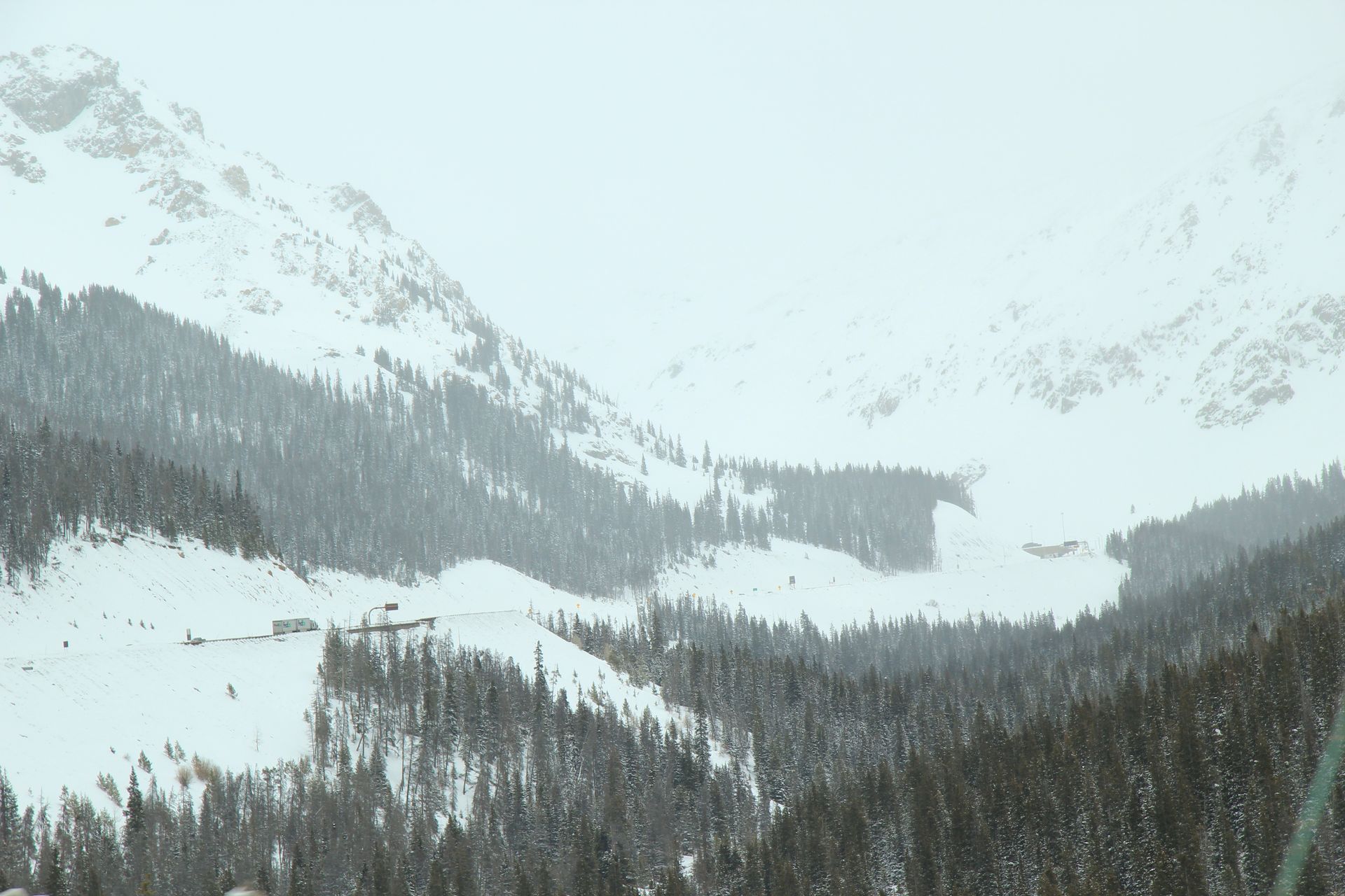
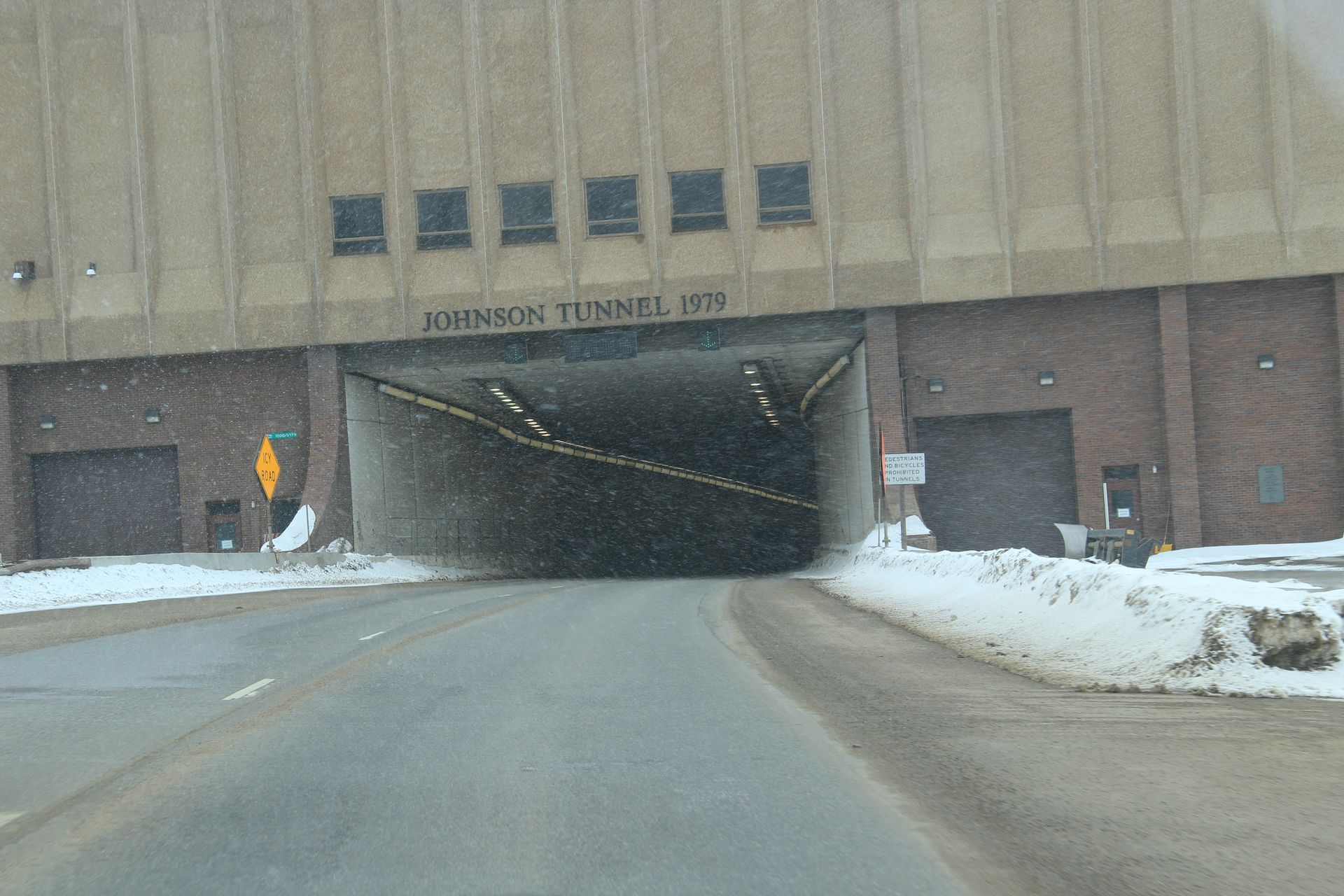
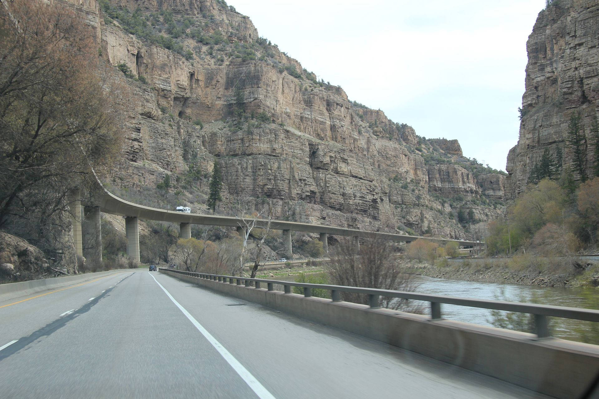
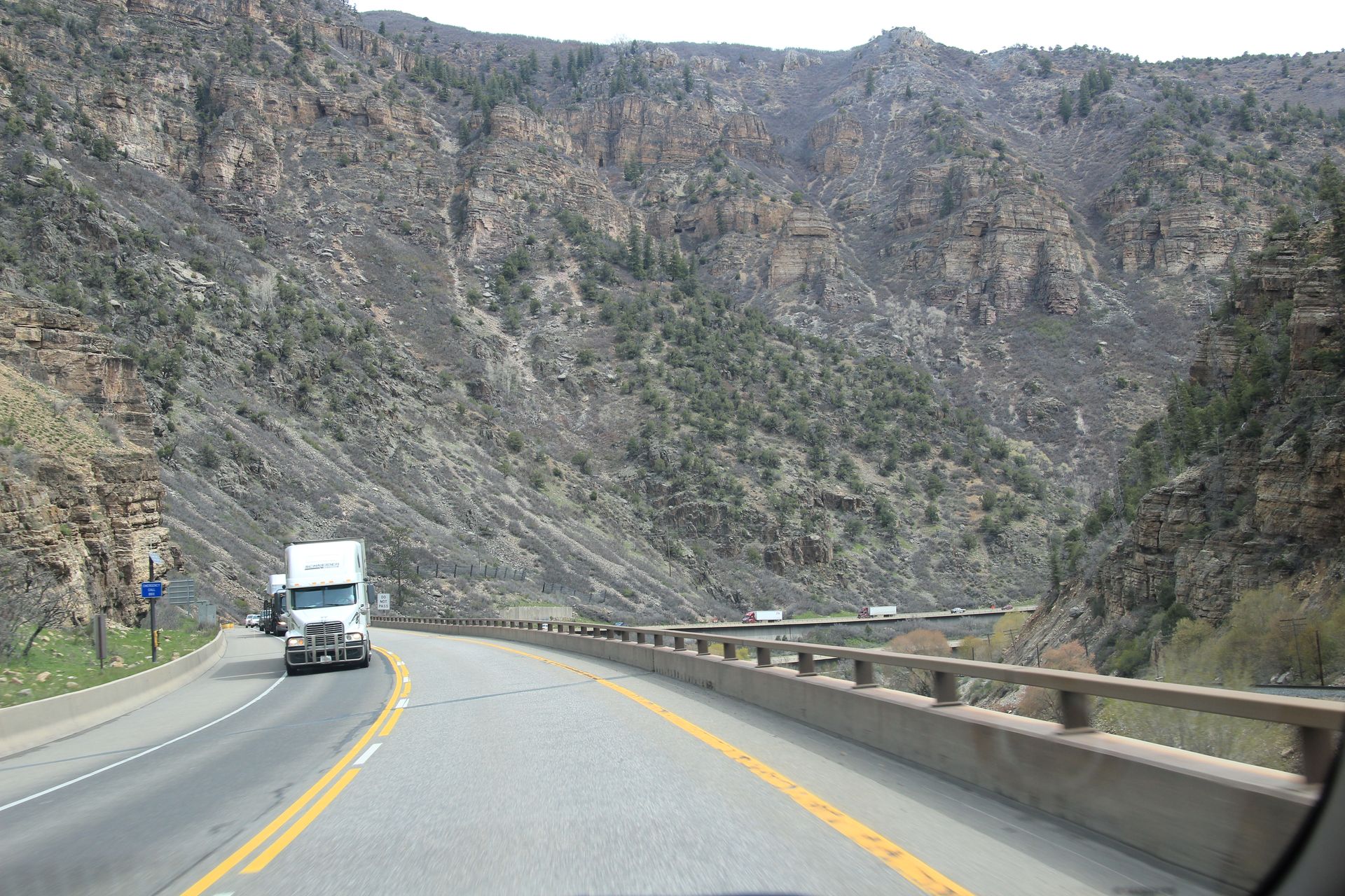
We were supposed to stop in Glenwood Springs for the night but opted to drive the 350 miles to Golden/Denver. The landscape changed quickly after crossing the Colorado state line from the red cliffs we have been seeing throughout Utah to the gray mountains of the Rockies. It is a beautiful drive but can be scary at times. There are a lot of hills and curves as you drive through canyons. At times there is not enough room for a 4 lane interstate so one side of the interstate is elevated above the other. At one point through Glenwood Canyon the east bound traffic goes around a mountain and west bound traffic goes through it.
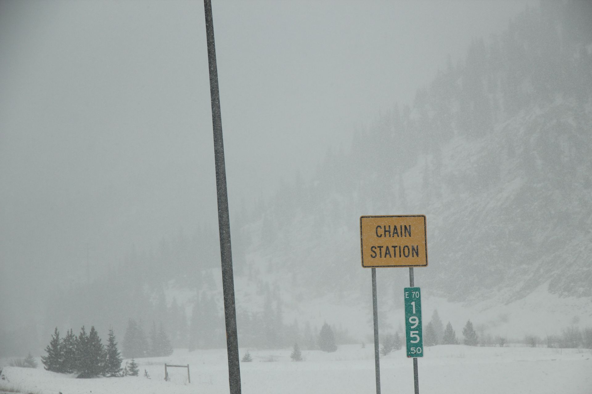
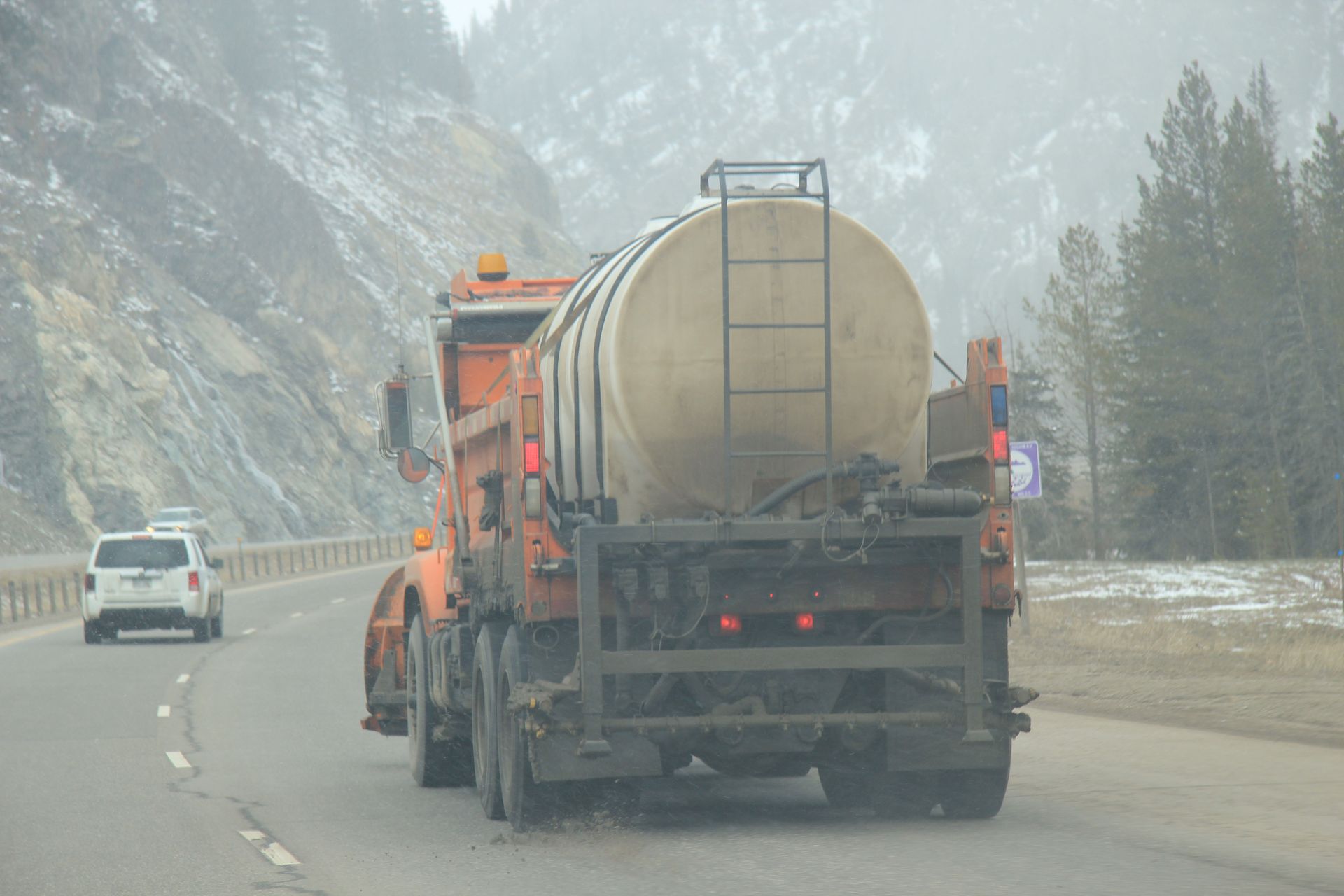
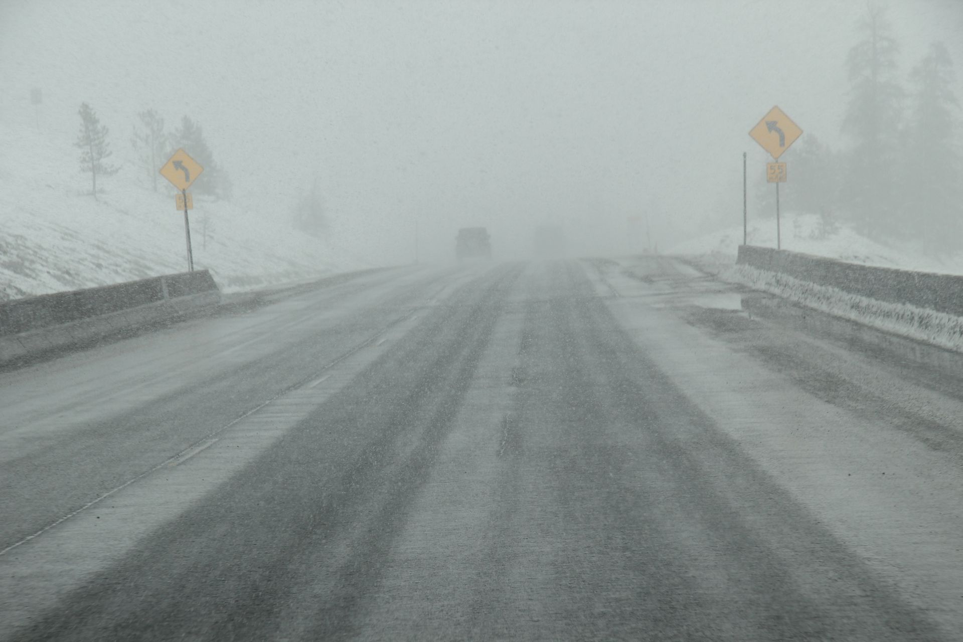
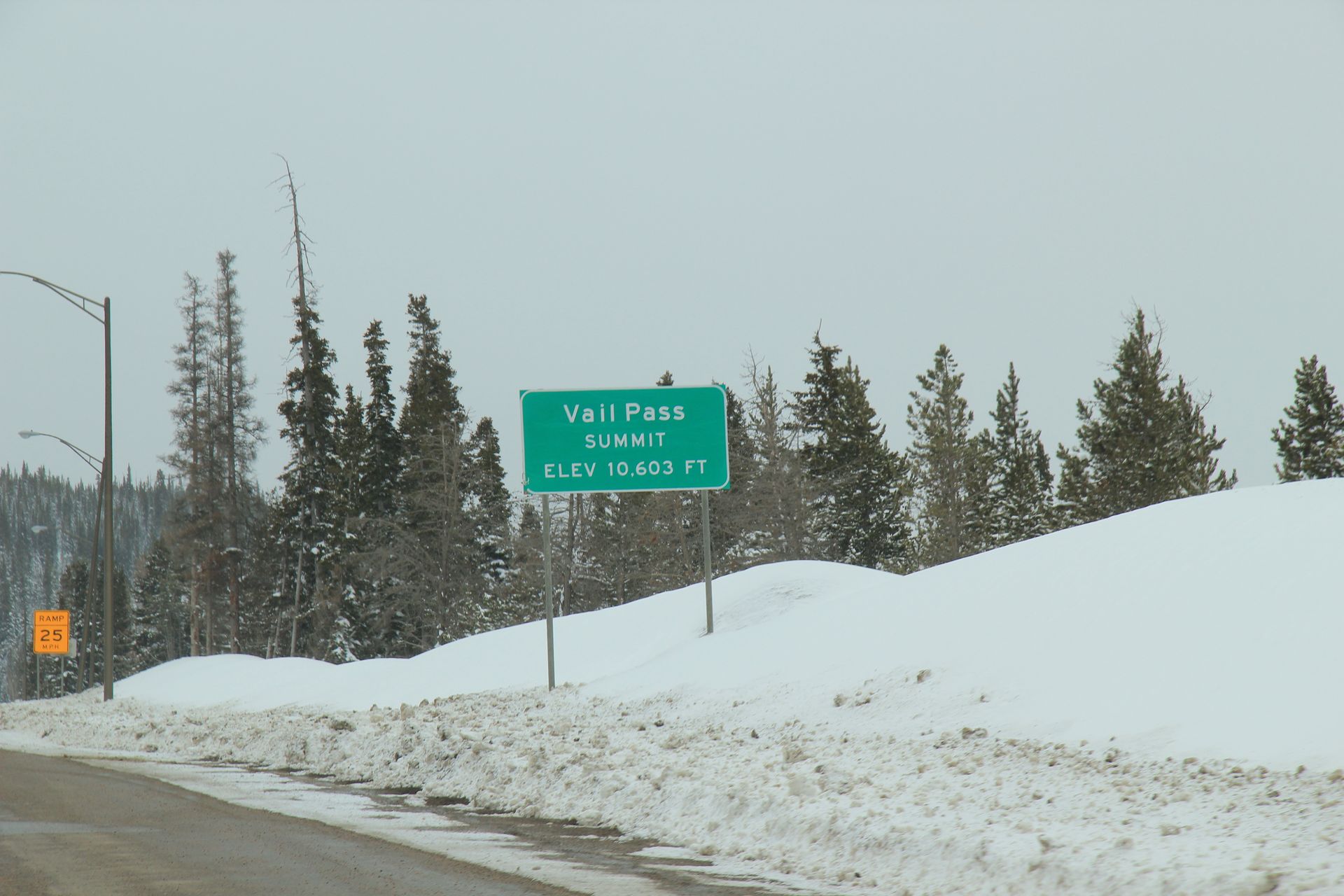
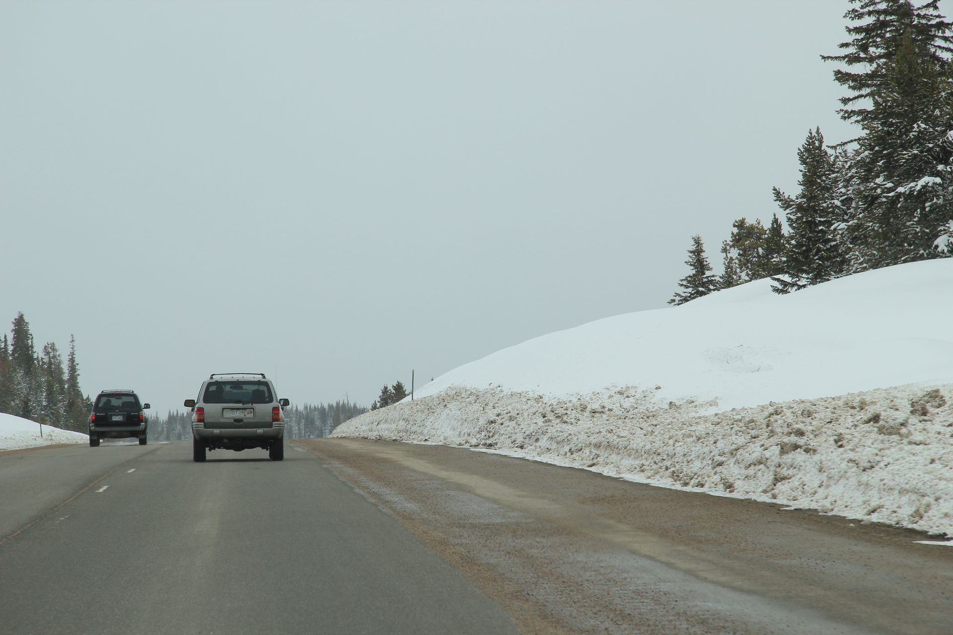
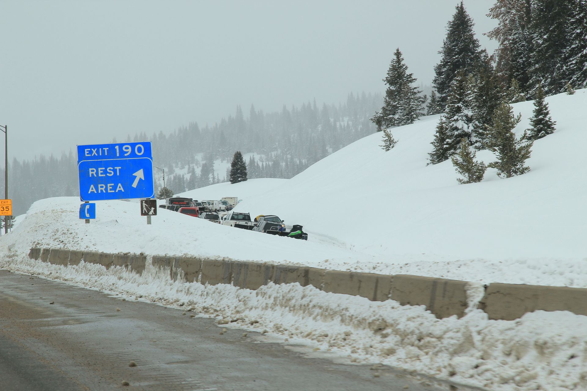
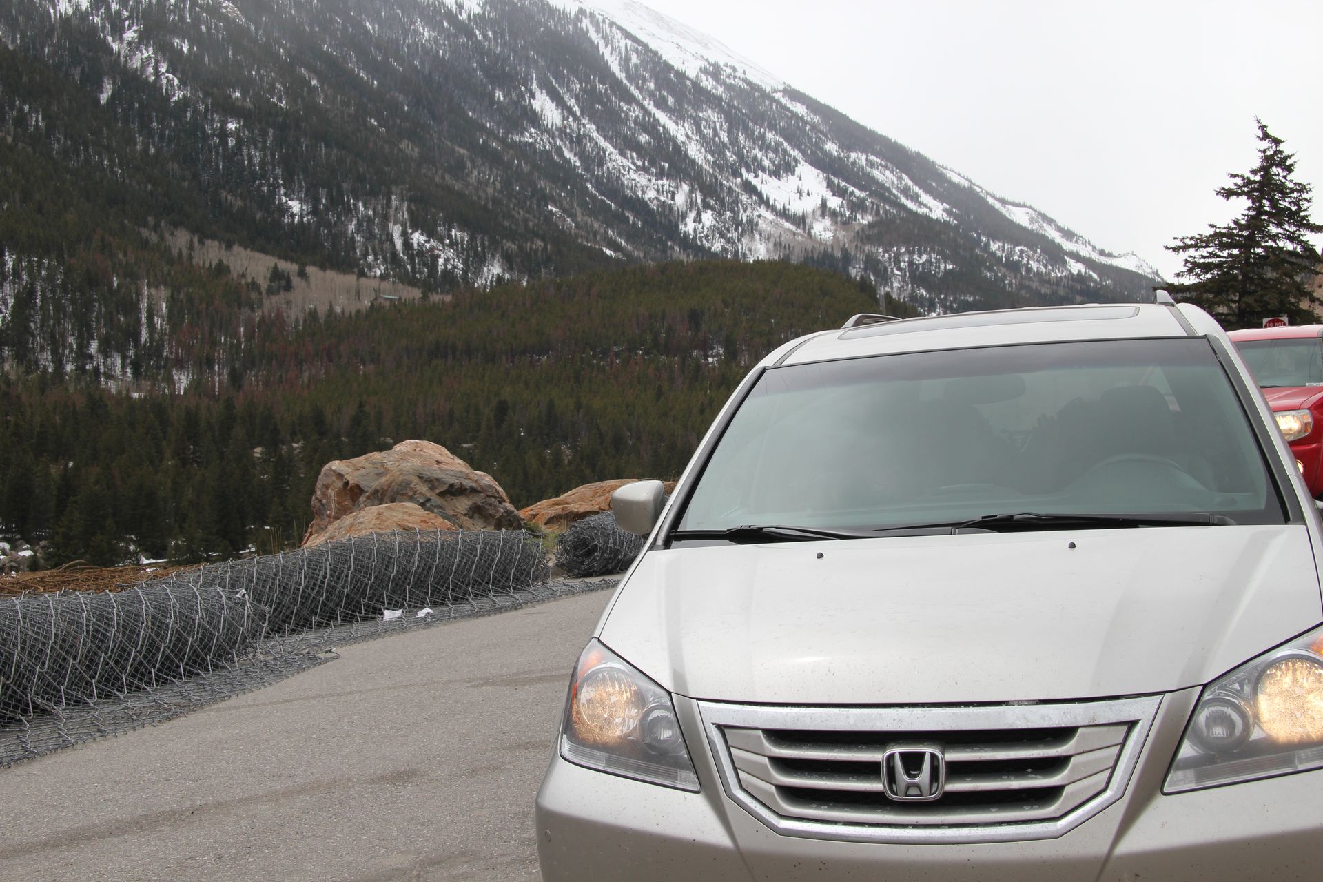
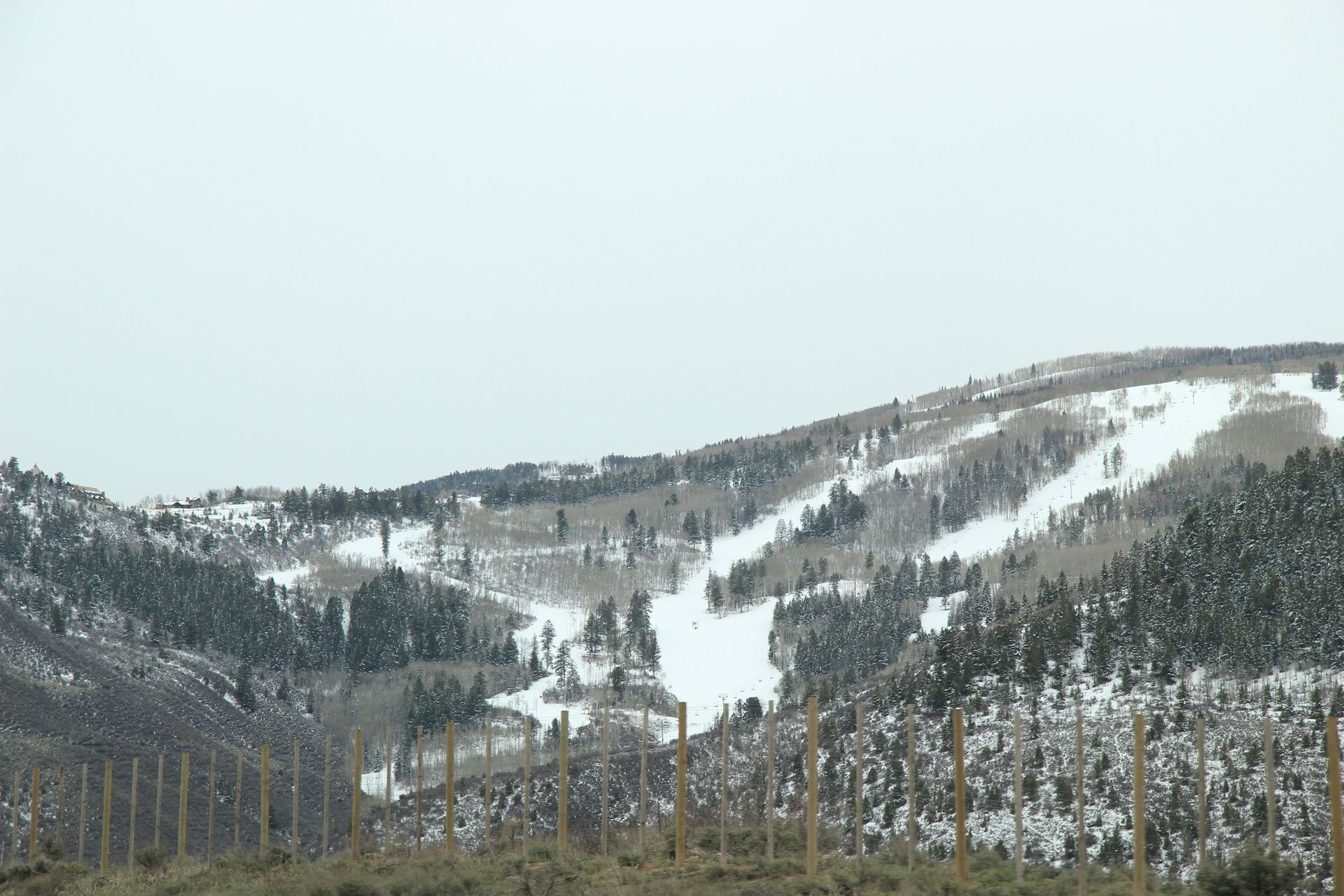
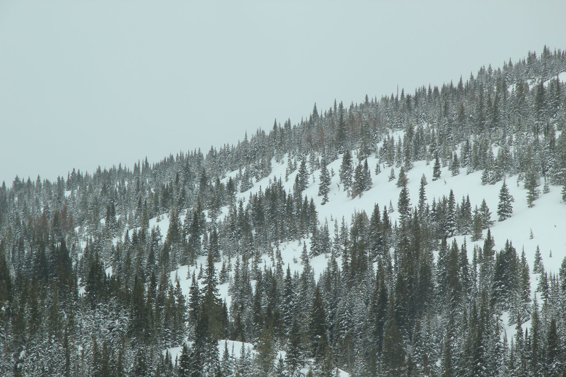
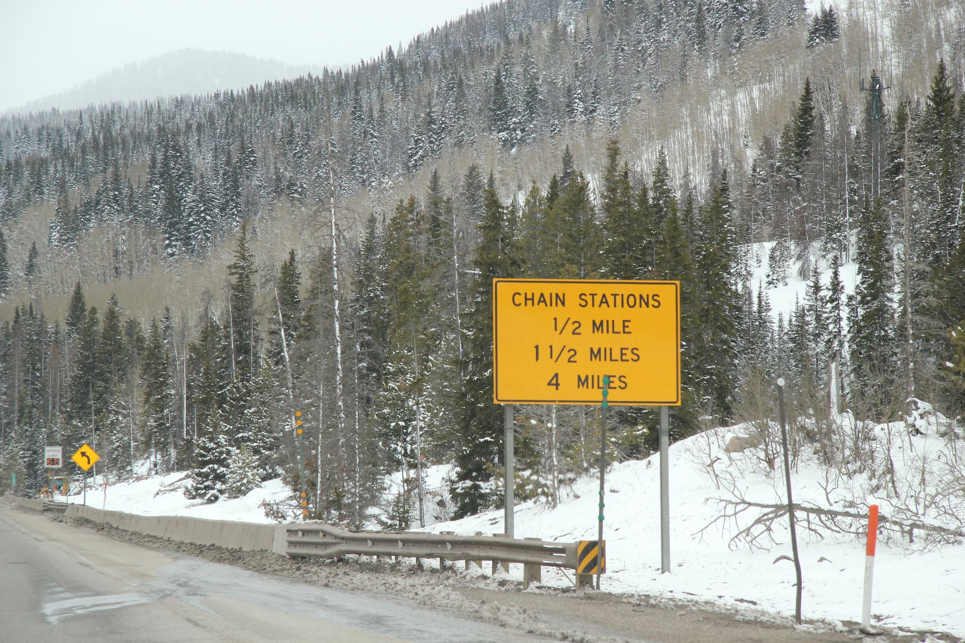
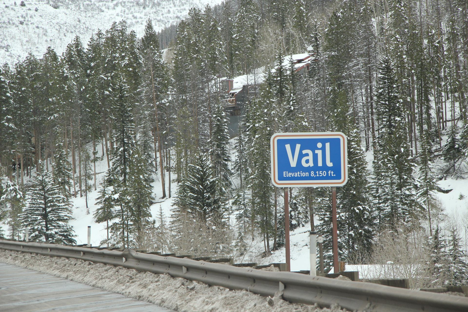
We crossed over Vail Pass (10,660 feet) and there was a lot of snow on the pines and ground. It was beautiful. As we descended and then ascended again to Loveland Pass (11,992 feet) it started snowing, the road was wet and the temperature dropped to 19 degrees. We dropped down to 9,000 feet and the snow stopped but going dropping down a 5% grade for 3,000 feet made my cheeks pinch the seat.
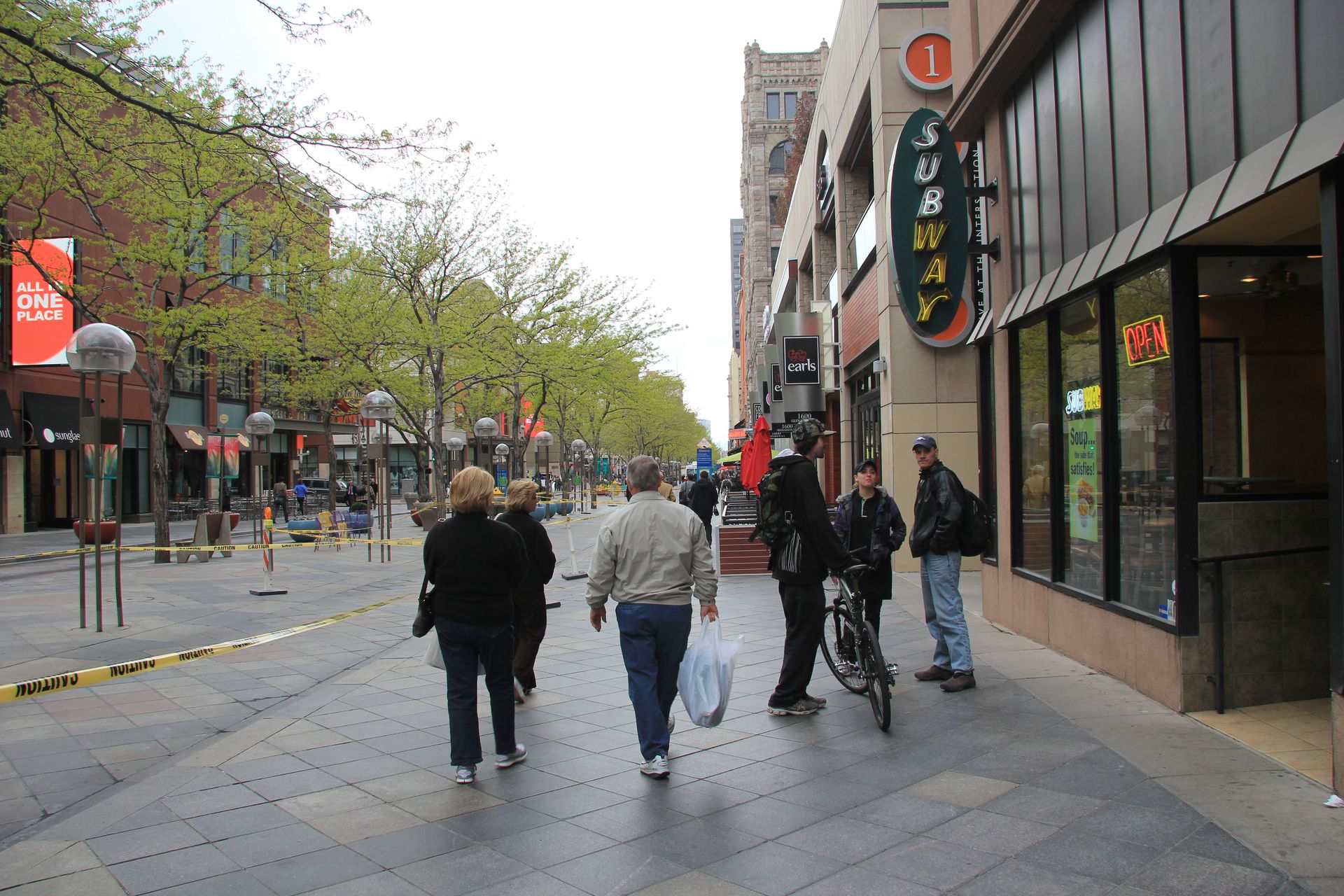
As we continue to drop in altitude, we arrived outside of Denver (between Golden and Denver) at 5,280 feet. Temperature had warmed to 46 degrees. We checked into our hotel around 2:00. We headed to Denver downtown and had dinner at Maggiano’s. We walked around Denver and picked up some sweatshirts. The shorts and t-shirts we packed are not being used at all.
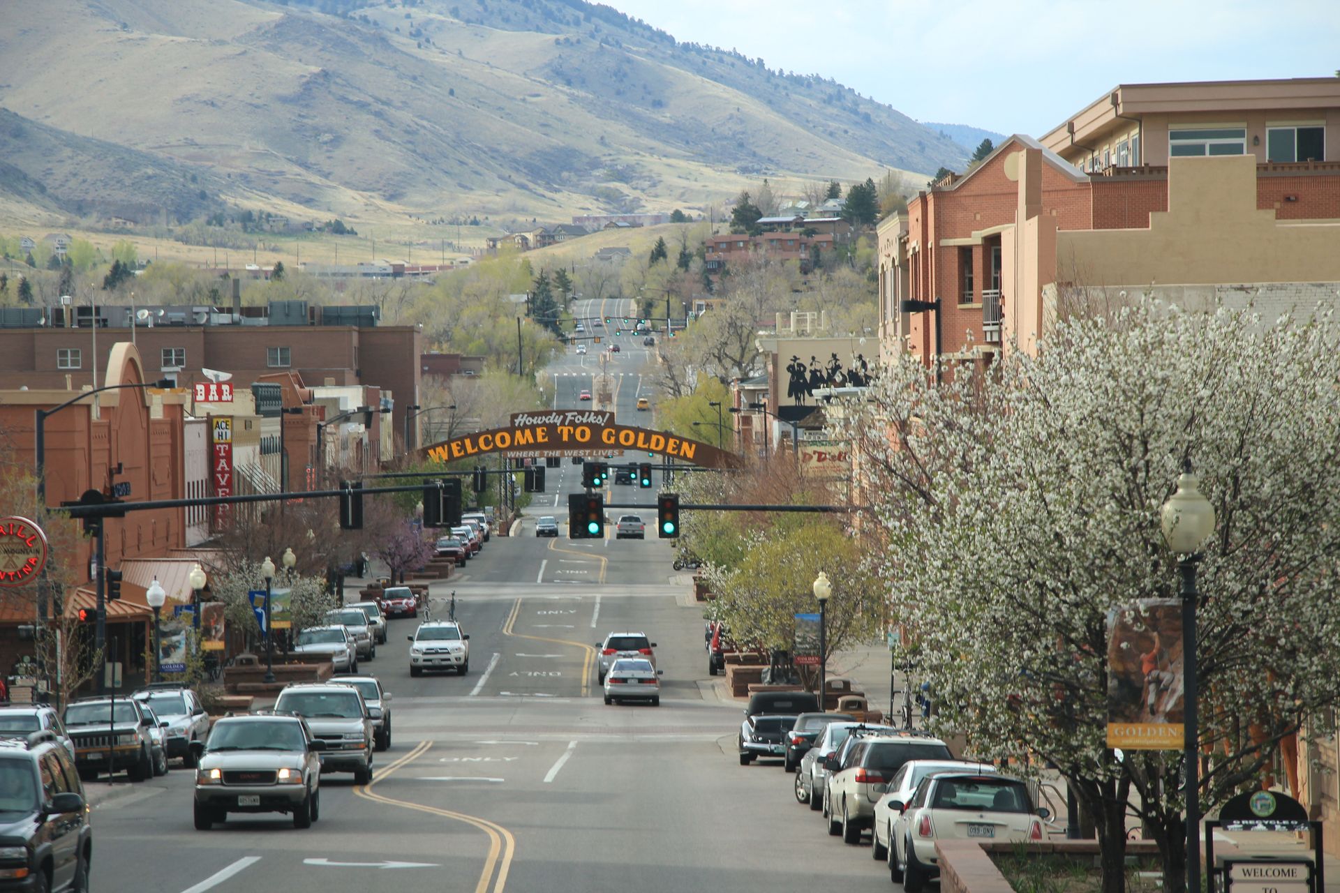
We left Denver and drove to Golden to see Coors – of
course the tours were closed and we took a pic and left. We decided to
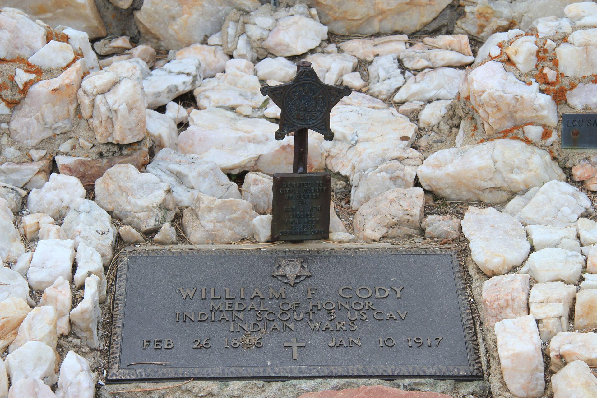
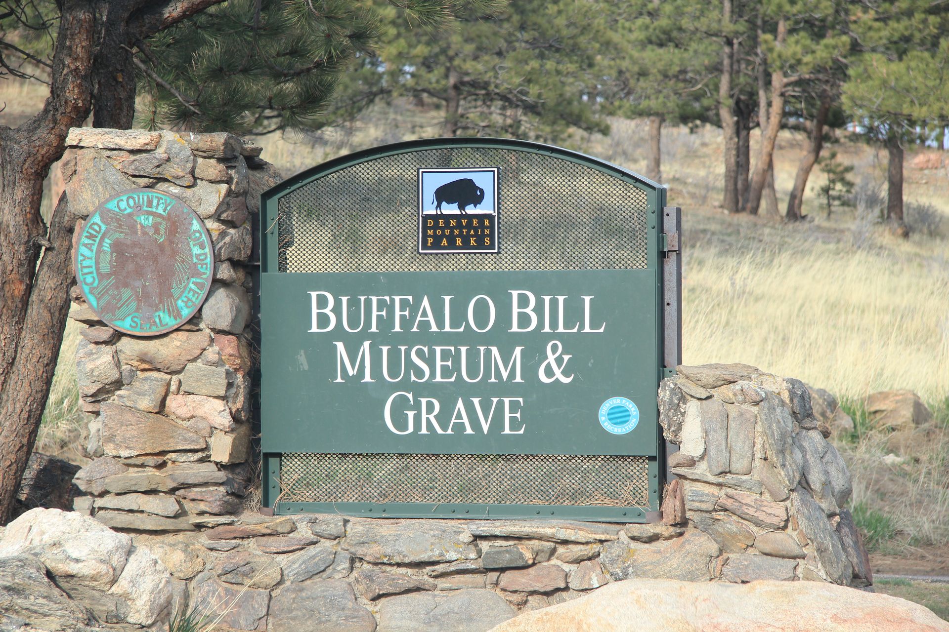
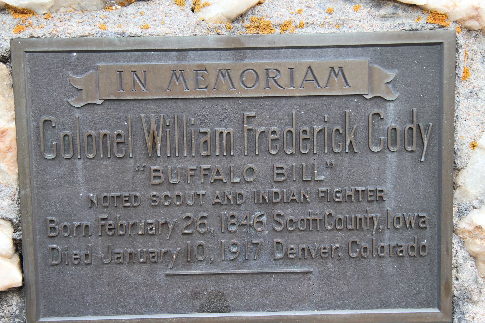
drive back up to Lookout Mountain to see Buffalo Bill Cody’s grave site – why –
I don’t know. There was a long argument on whose grave we had seen in
Deadwood, South Dakota. We figured out that was Wild Bill Hickock. We
saw the grave and headed back to hotel for blogging and rest. It has been
a long day.
Denver, CO to Estes Park, CO
- Day 15, Mon, May 2, 2011
- Google Map - 206 miles
- Links
We checked out of the TownePlace Suites in Denver/Golden after a quick
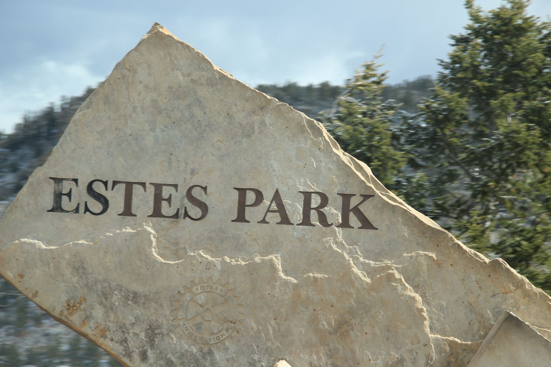
breakfast and headed toward Estes Park, the gateway to Rocky Mountain National Park (RMNP).
We thought we would head straight north through Boulder but GPS took us to I-70
then to I-25 to CO-36.
We tried to find some shortcuts and outsmart the GPS but ended up only saving a few miles. We drove through several nice suburbs on CO-36 to Boulder (home of UC Boulder and CU). The town has a lot of red lights – you know how I love those. We got to Lyons and I noticed the tire that we had added air a few days ago was down a couple of pounds again. We stopped and added some air and then continued to Estes Park.
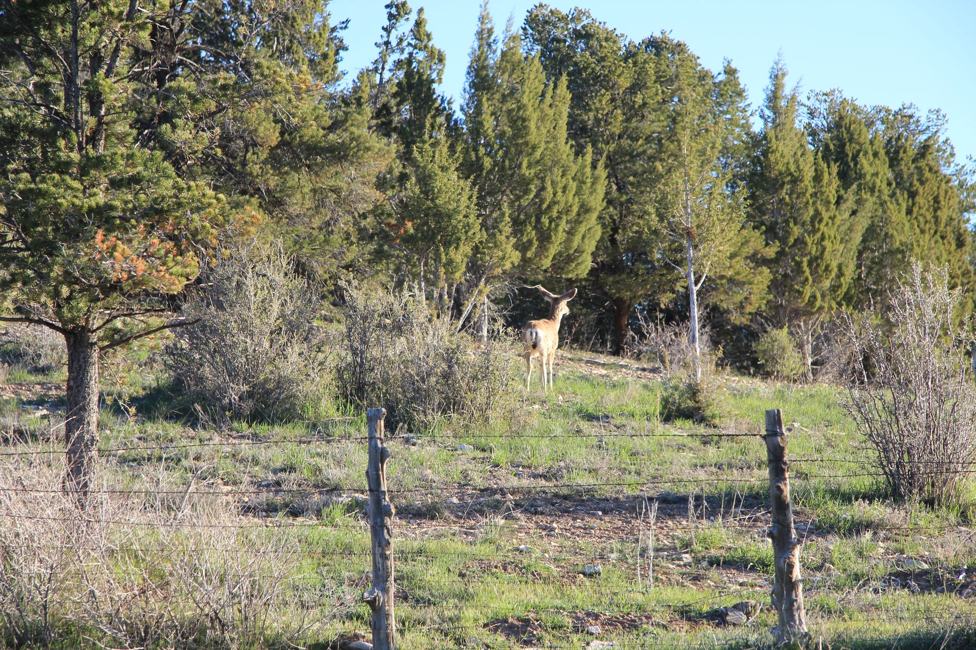
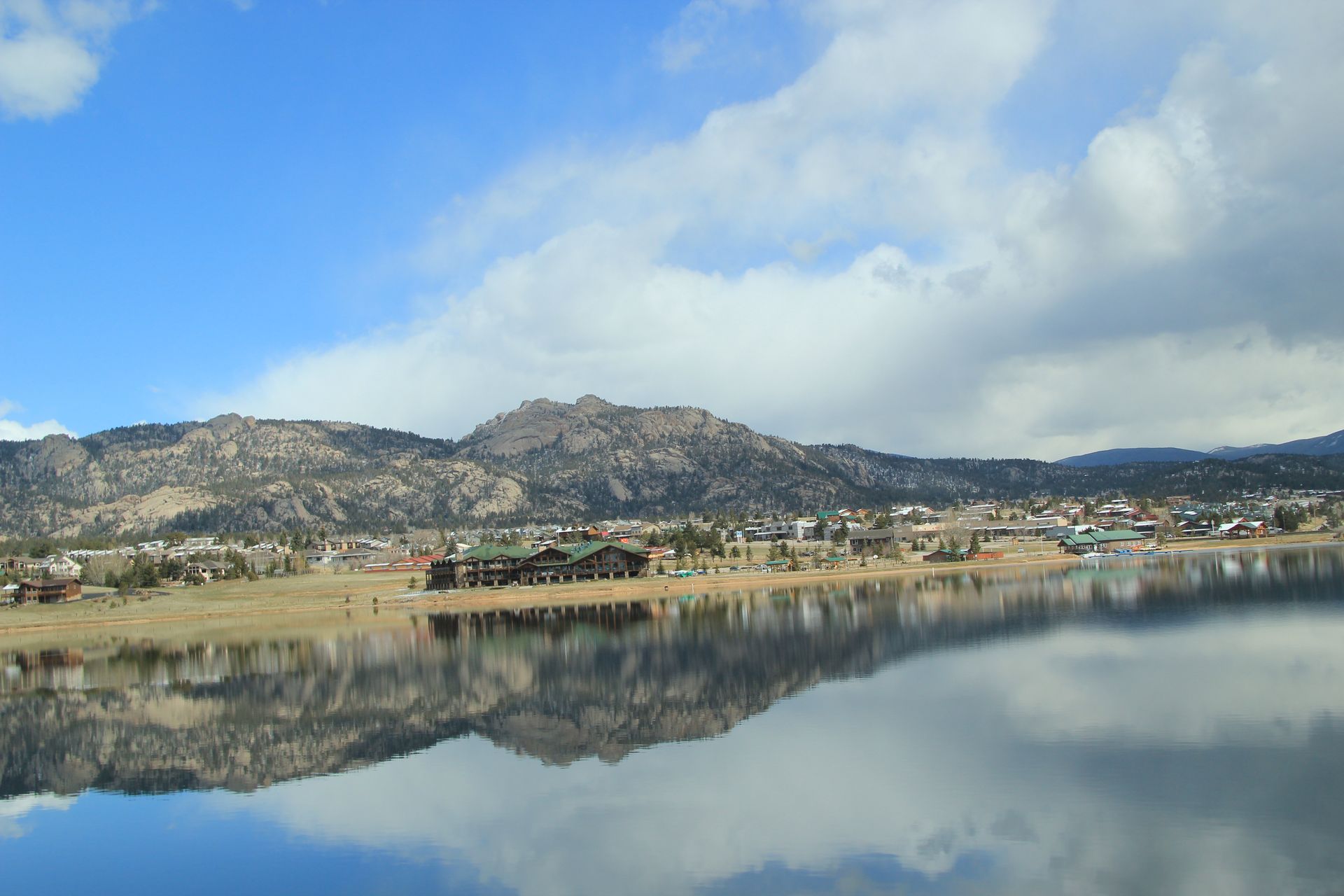
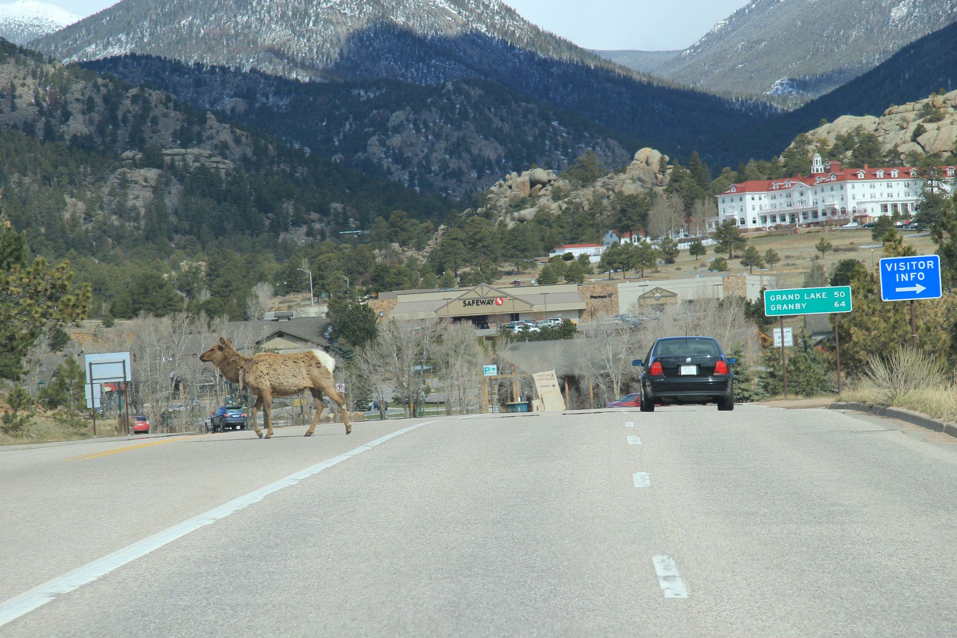
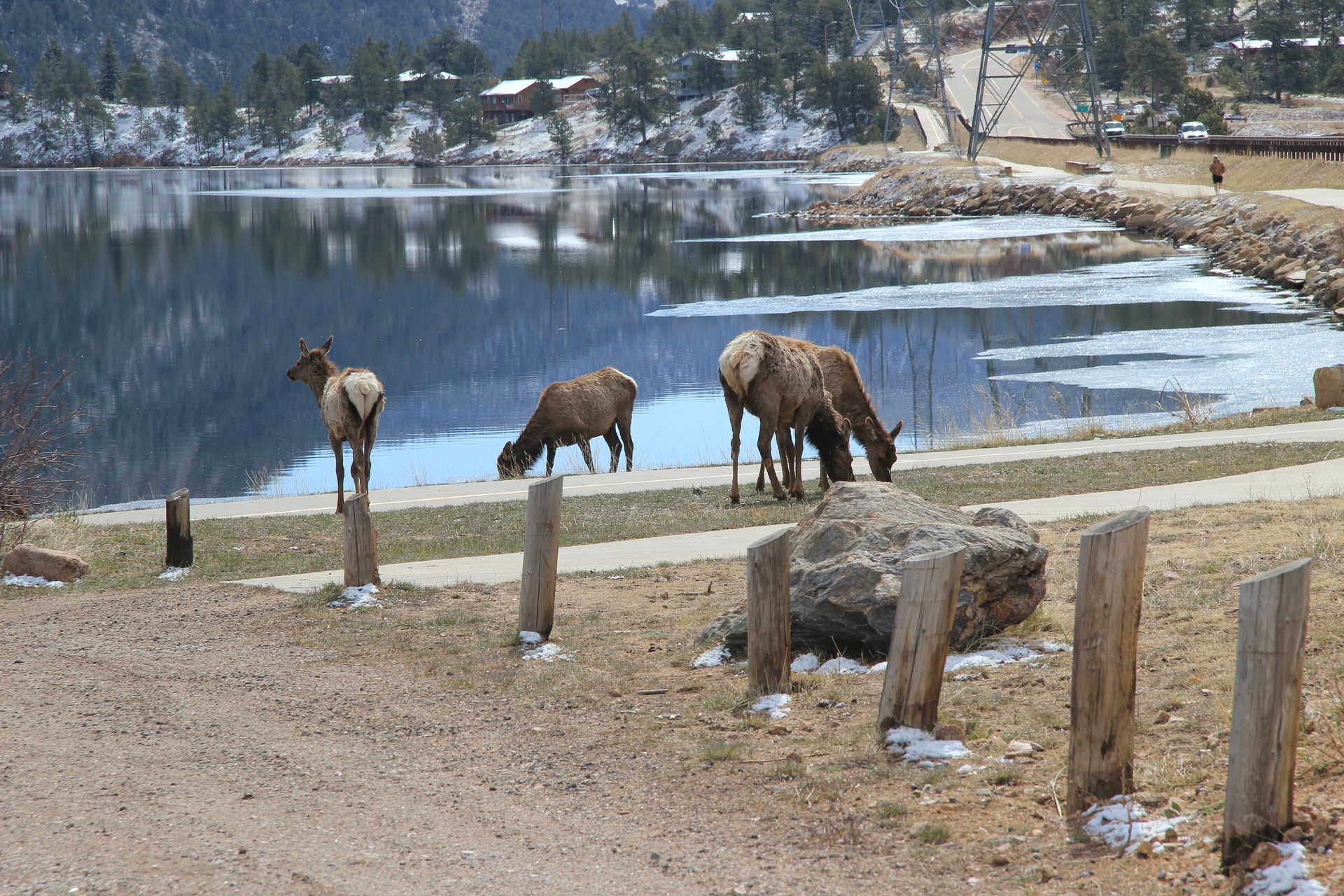
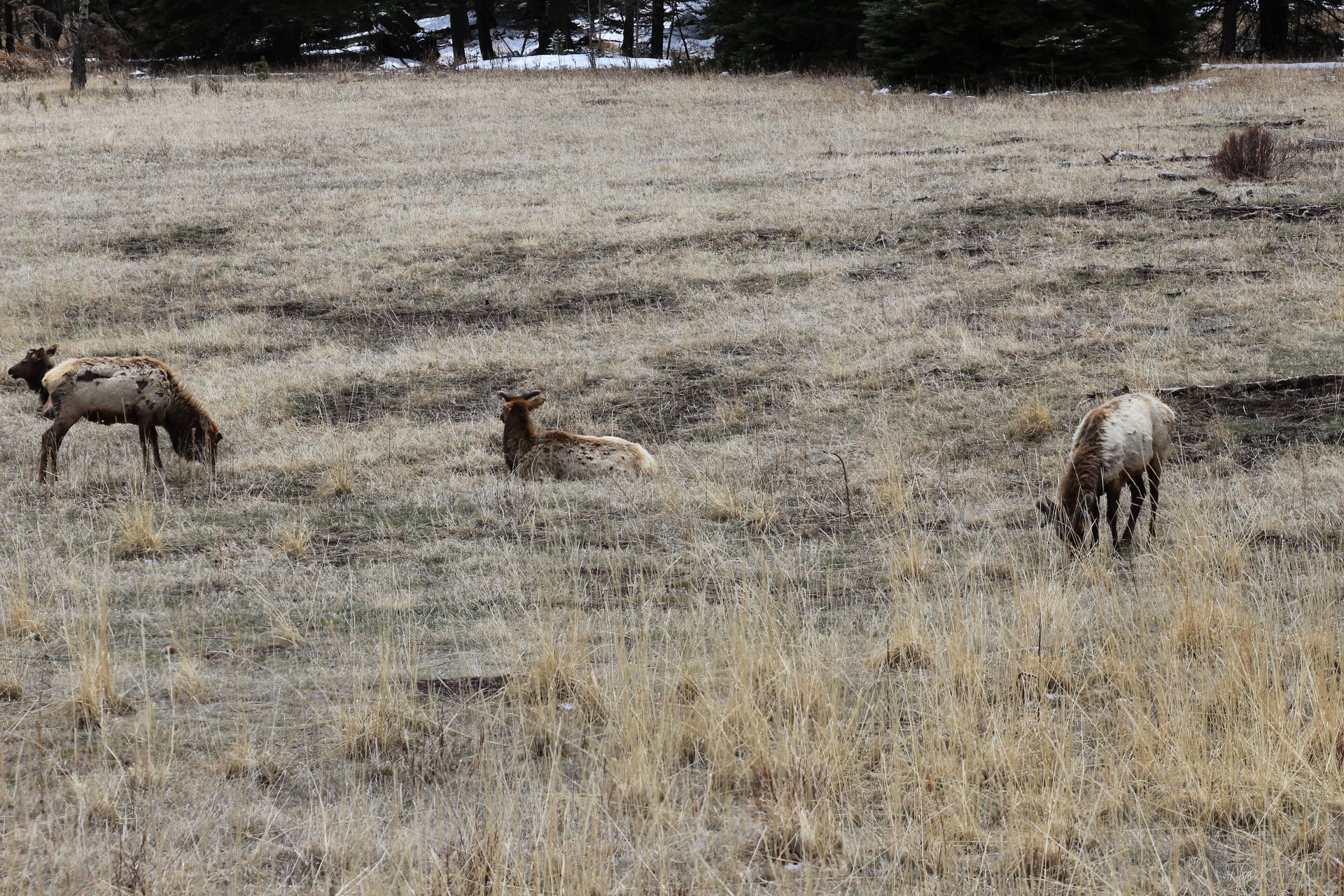
When we got to Estes Park we noticed elk just walking and grazing around town. It reminded us of Northern Exposure TV show. They do not stay long in one place – they graze for about 15 minutes and then move to a new area. Sometimes they just cross the street, stopping traffic.
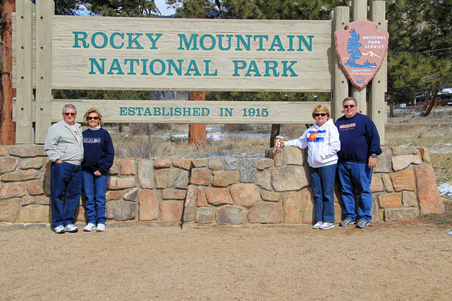
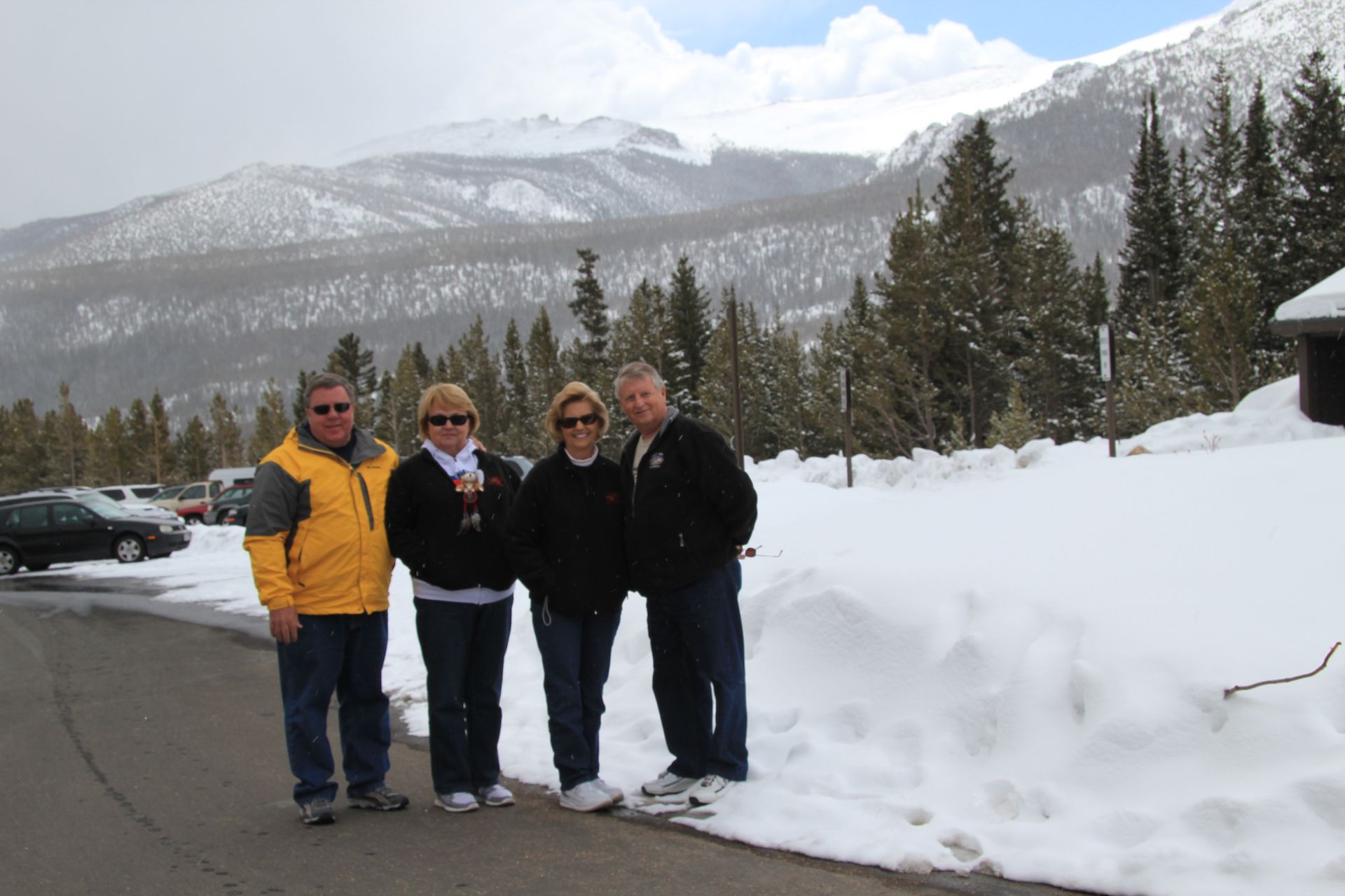
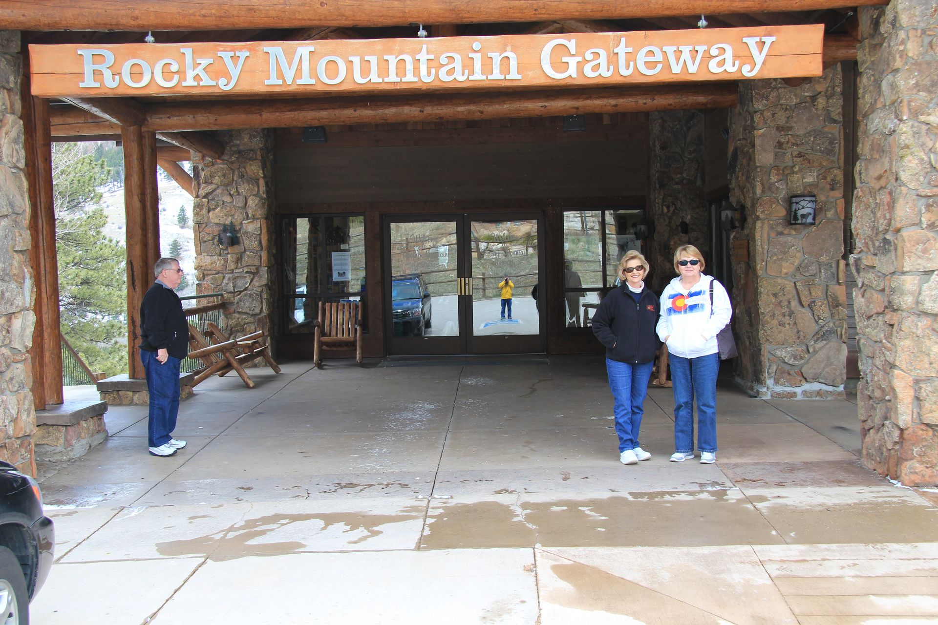
We headed toward RMNP – there were 2 signs pointing in opposite directions so we gambled and turned left. We guessed correctly and got the standard National Park pic before going to the Visitor’s Center. There were a total of 3 people at the center besides us. Since many roads like Trail Ridge do not open until Memorial Day, there are few people that visit this time of year. That’s ok – we had the park to ourselves.
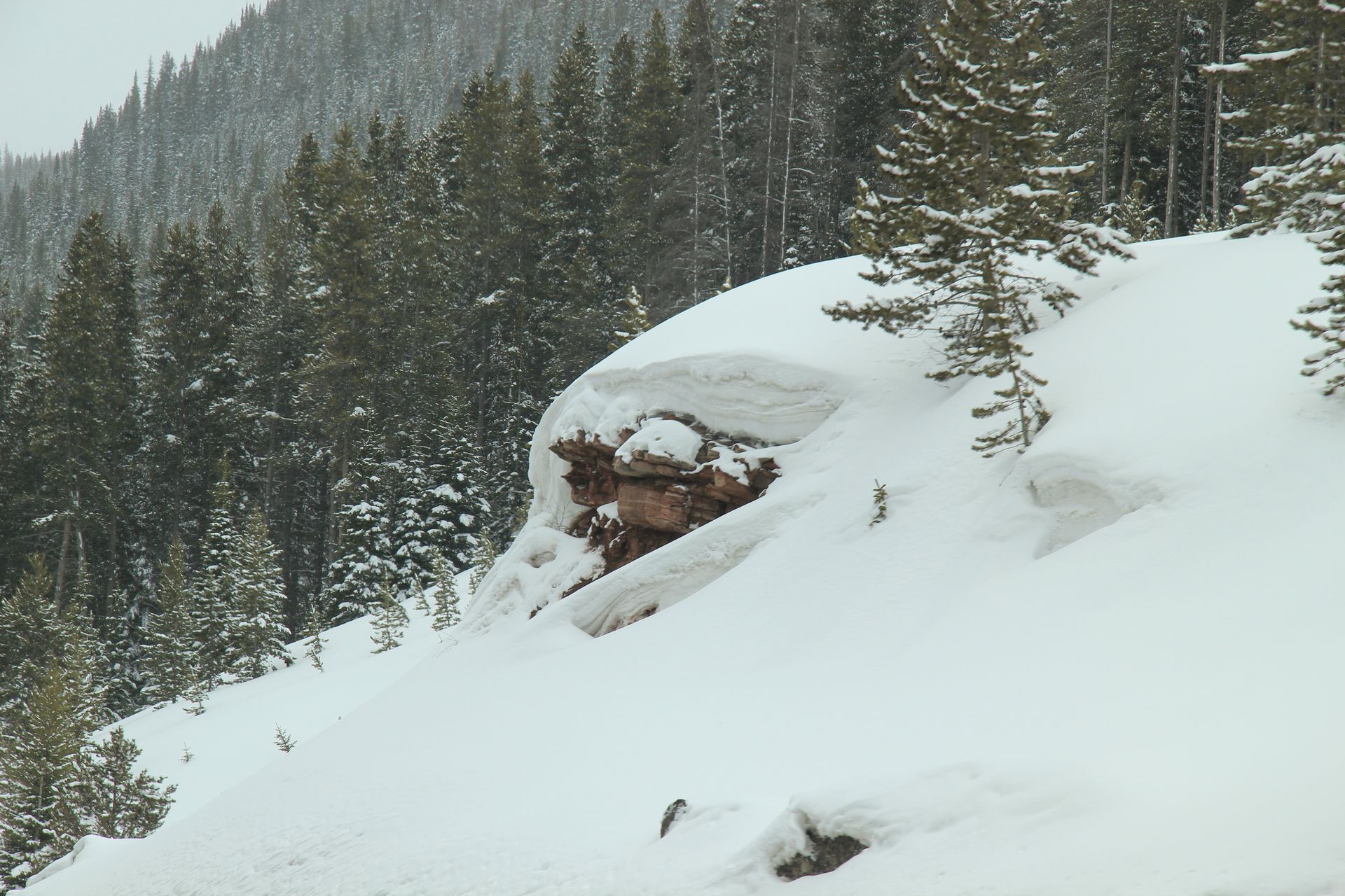
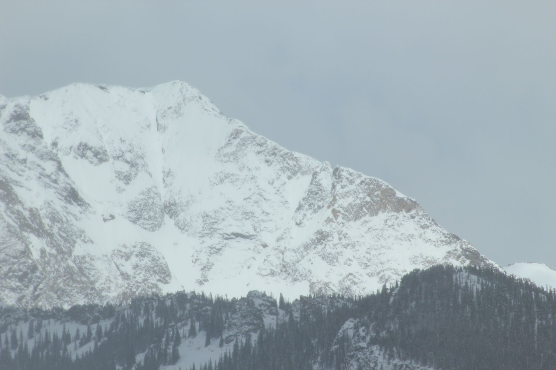
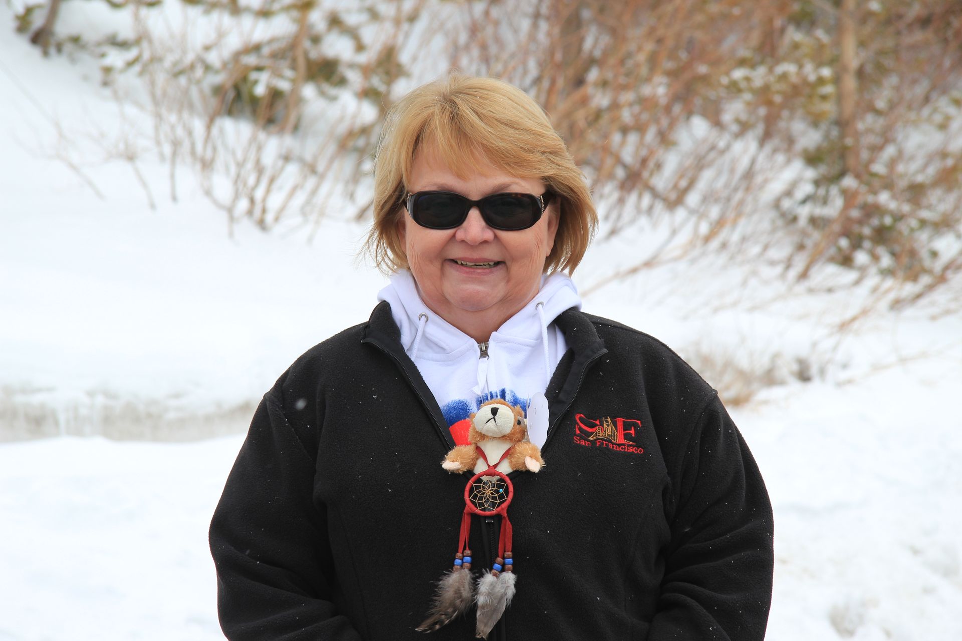
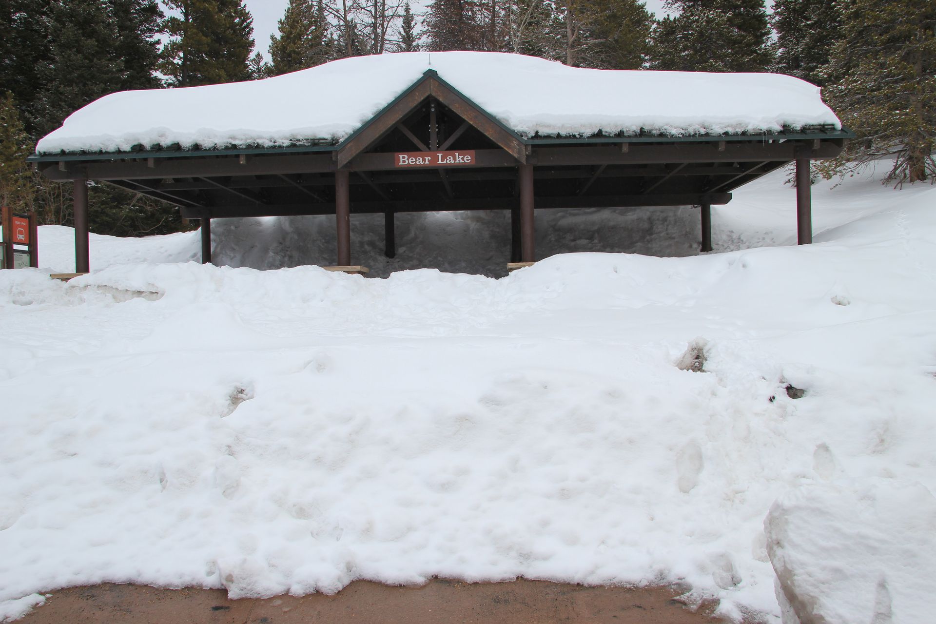
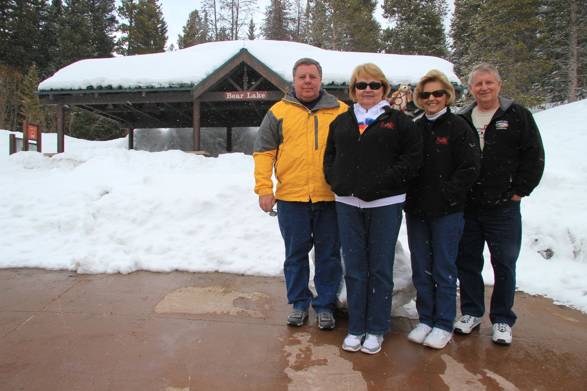
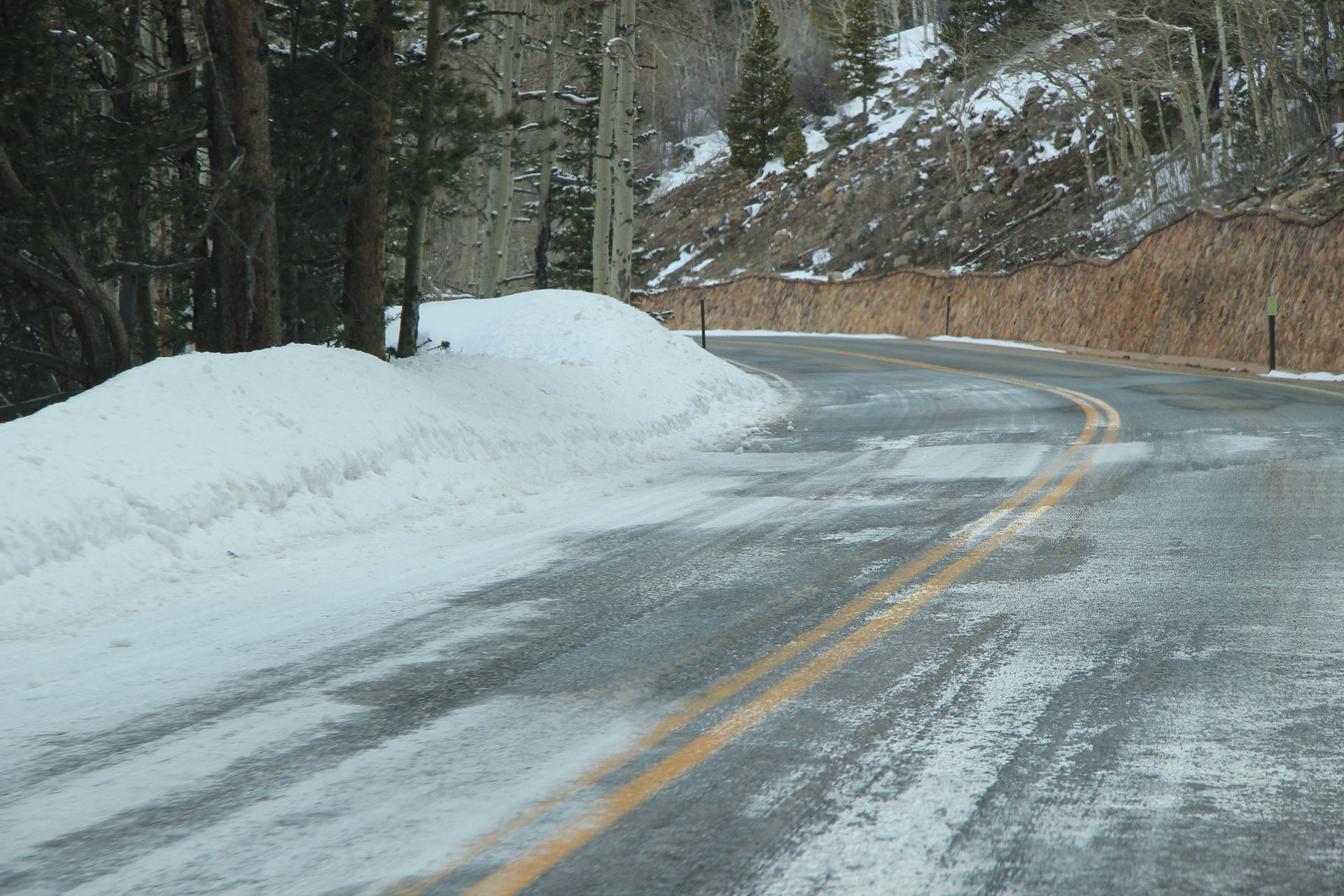
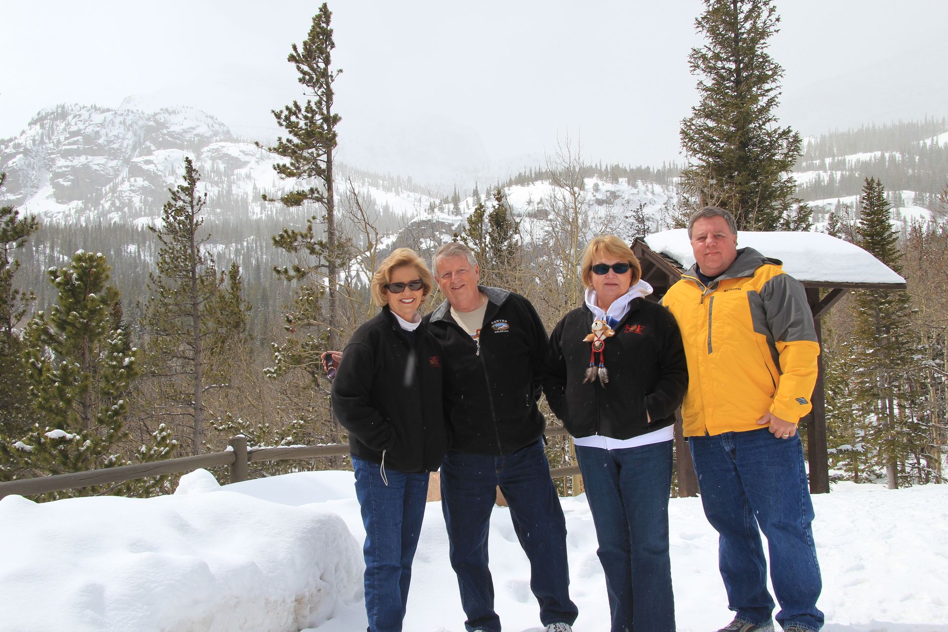
The Ranger at the center gave us a map and recommended a driving route to take and what roads were closed. We watched the park intro film and headed out. The park had some snow the night before, but the Ranger said the plows had cleared the roads – just watch for slick spots. We left and drove up to Bear Lake at 9,475 feet – the Ranger said there was 81 inches of snow there. When we got there the temperature was in the 20’s and it started snowing while we were there. (RMNP has 53 peaks of 14,000 feet or more called the fourteeners.
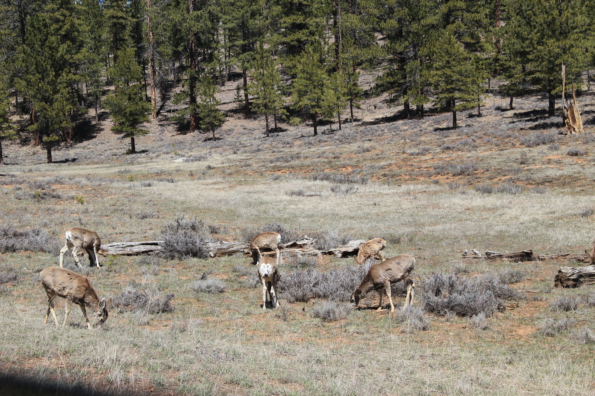
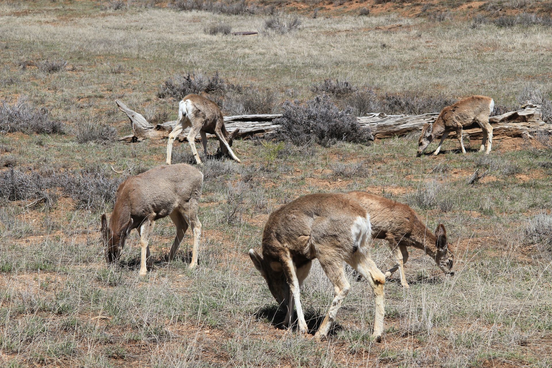
The clouds just seem to hang over them all the time with snow coming and going all the time.) We drove up Trail Ridge as far as we could go – there is a beautiful overlook of the valley cut by a 500 feet thick glacier. I saw 2 marmots and a ground squirrel. We drove to other parts of the park, taking pics and looking for wildlife. Other than elk, we did not find any other animals like bighorn sheep.
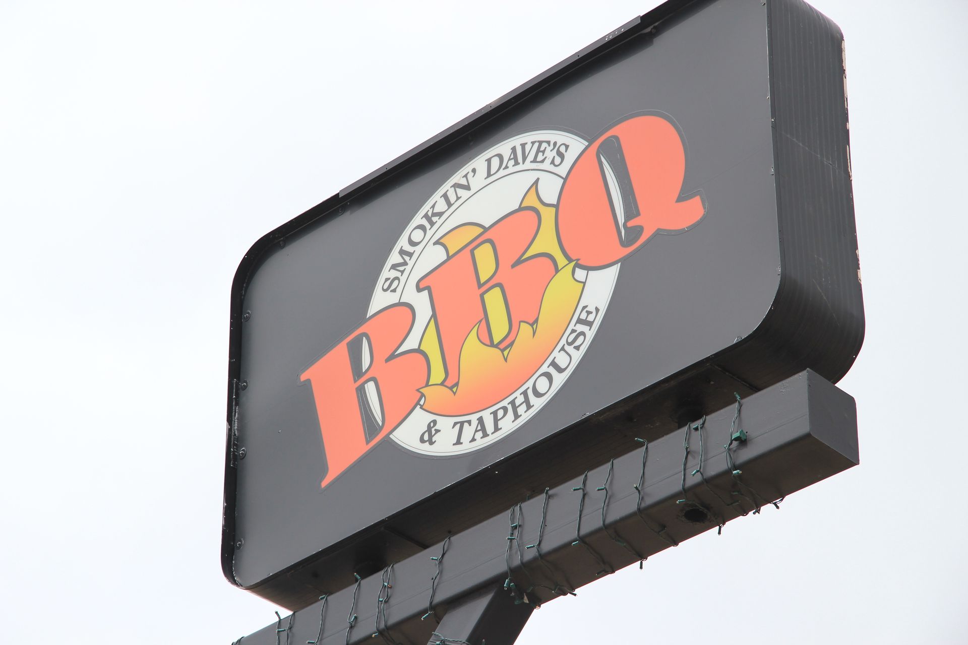
We drove out of the park on Route 36 and stopped at the other Visitor’s Center for some shopping. We went to Lake Shore Lodge in Estes Park where we were staying for the night. After checking in we went back to Estes, had lunch at Smoking Dave’s BBQ and did some shopping. It was funny – we were the only people on the street in Estes and many shops were closed. After shopping we headed back to the lodge for blogging and farming.
Estes Park to Colorado Springs, CO
- Day 16, Tue, May 3, 2011
- Google Map - 142 miles
- Links
- Along the way
- Denver
- Colorado Springs, Manitou Springs, CO
- National Parks
We checked out of Lake Shore Lodge around 8:00 today and headed south to Colorado Springs.
Our tentative plans was to visit the Air Force Academy and possibly ride the cogwheel train up Pikes Peak or go to Royal Gorge. We took a different route coming back – taking CO 66 out of Lyons – a more direct route to I-25. We found a Cracker Barrel in North Glenn, just outside Denver. It was good to see one of those for some good country eating.
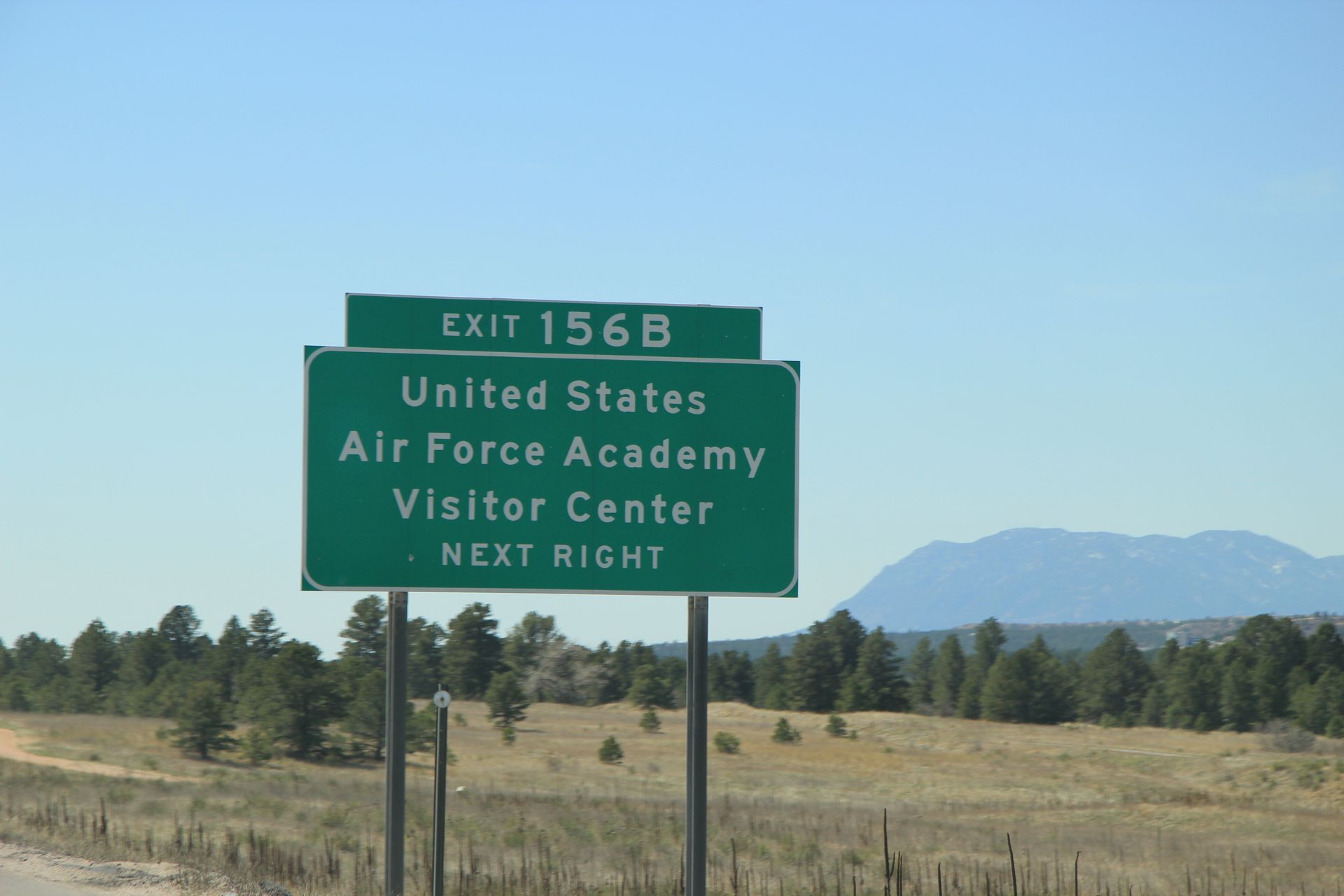
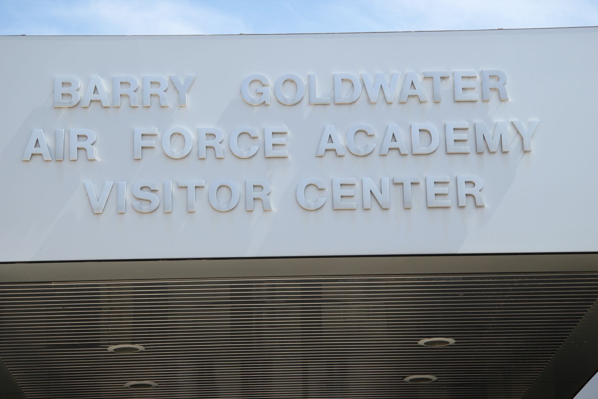
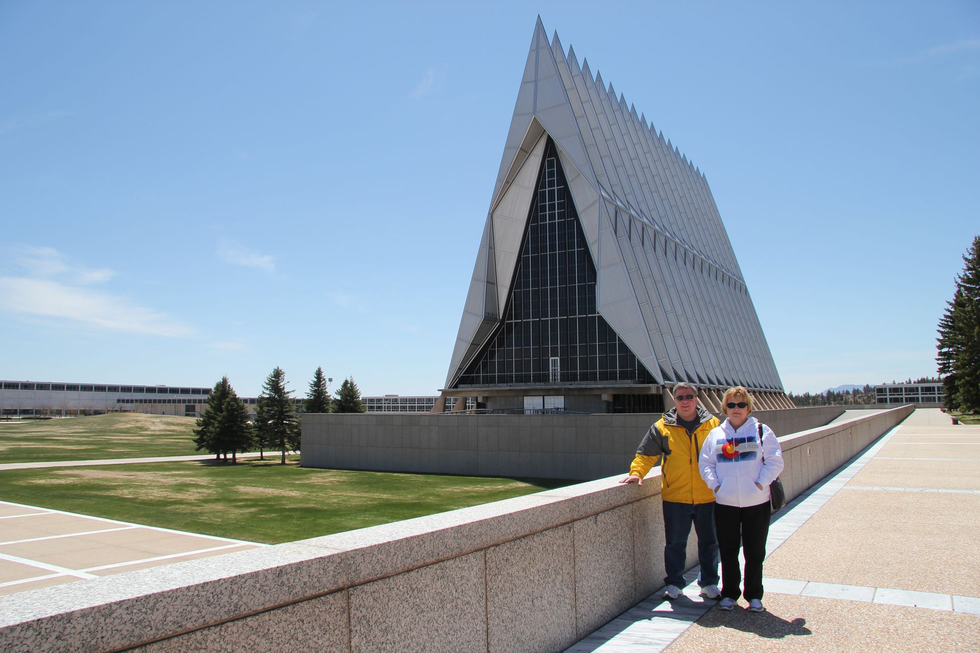
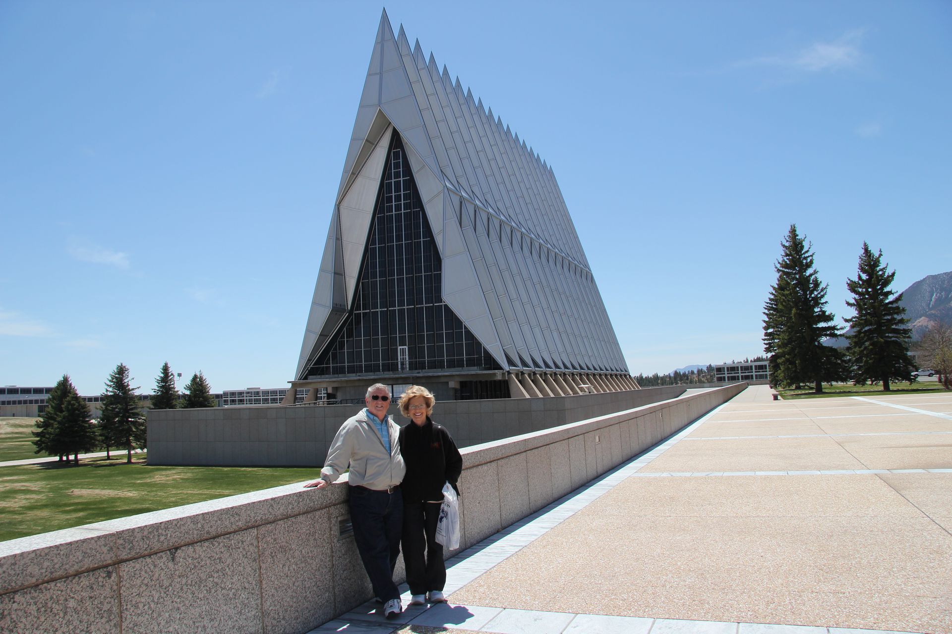
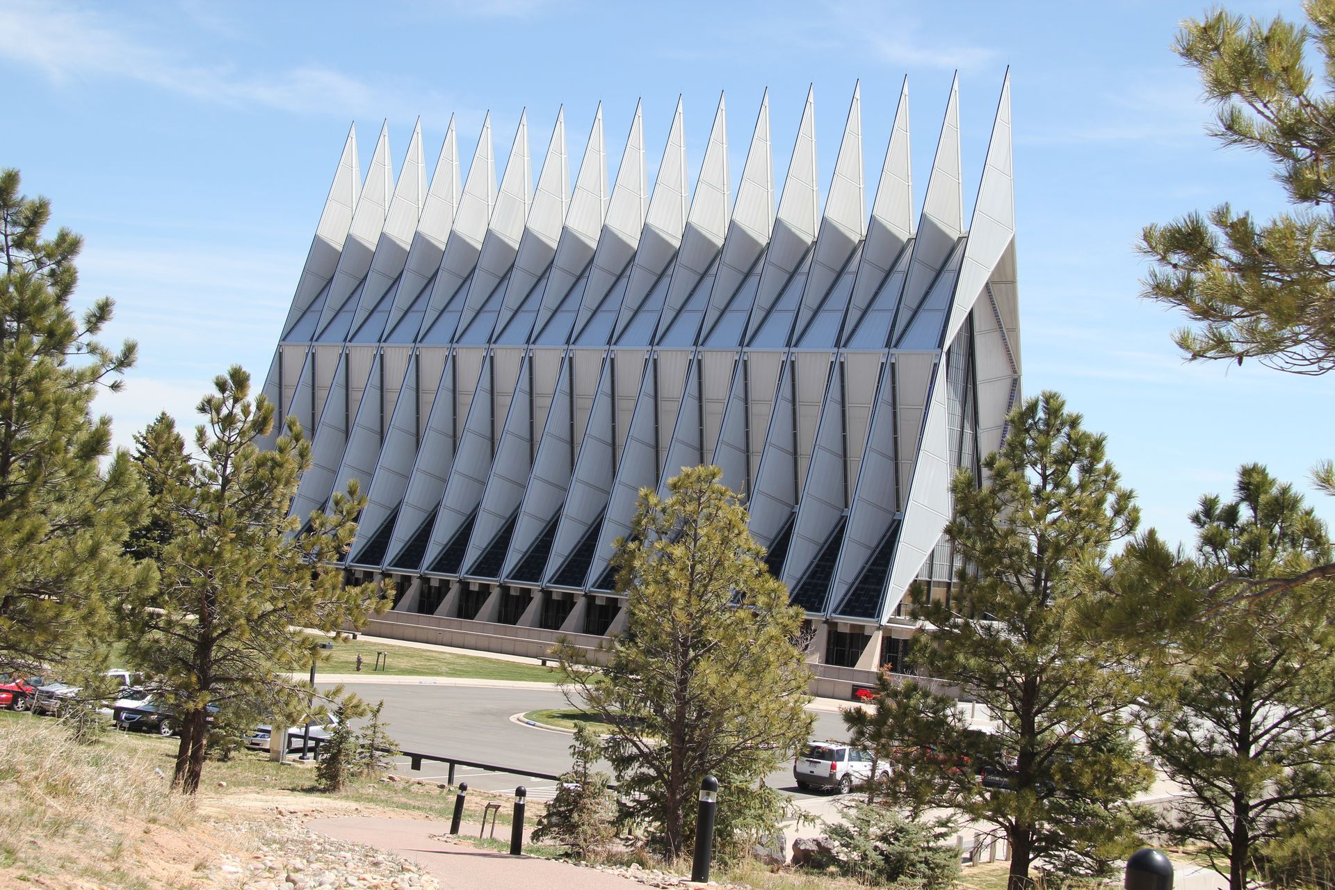
We ate and headed to Colorado Springs where we stopped and visited the chapel at the Air Force Academy. It is a beautiful building that has separate chapels for Protestant, Jewish, Buddhist and Catholic. The building was completed in 1963. One interesting fact is the floor of the Jewish area is stone from Jerusalem, donated by the Israeli Air Force. You have to see the pics to appreciate the architecture.
We left the Academy and drove through Manitou Springs, just outside Colorado Springs and the location of the cog railway. We got to the cog railray at 1:20, the time the last train of the day was ready to pull out. We decided to forfeit the trip and start headed east towards home.
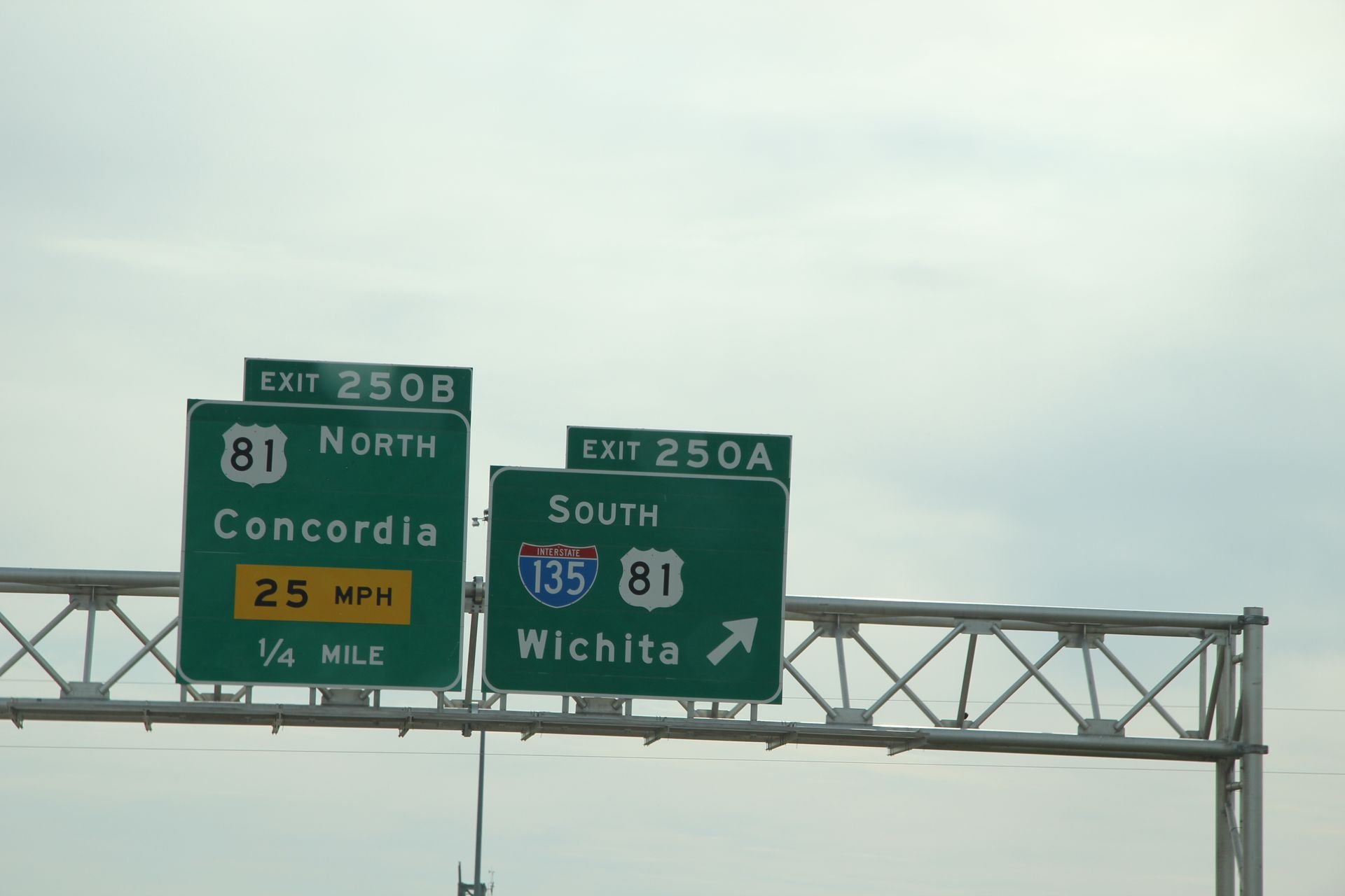
Gwen and Patsy called Marriott and changed our night reservation from Colorado Springs to Hays, KS, about 300 miles away. We plugged in the new destination and drove 70 miles to I-70 and headed east.
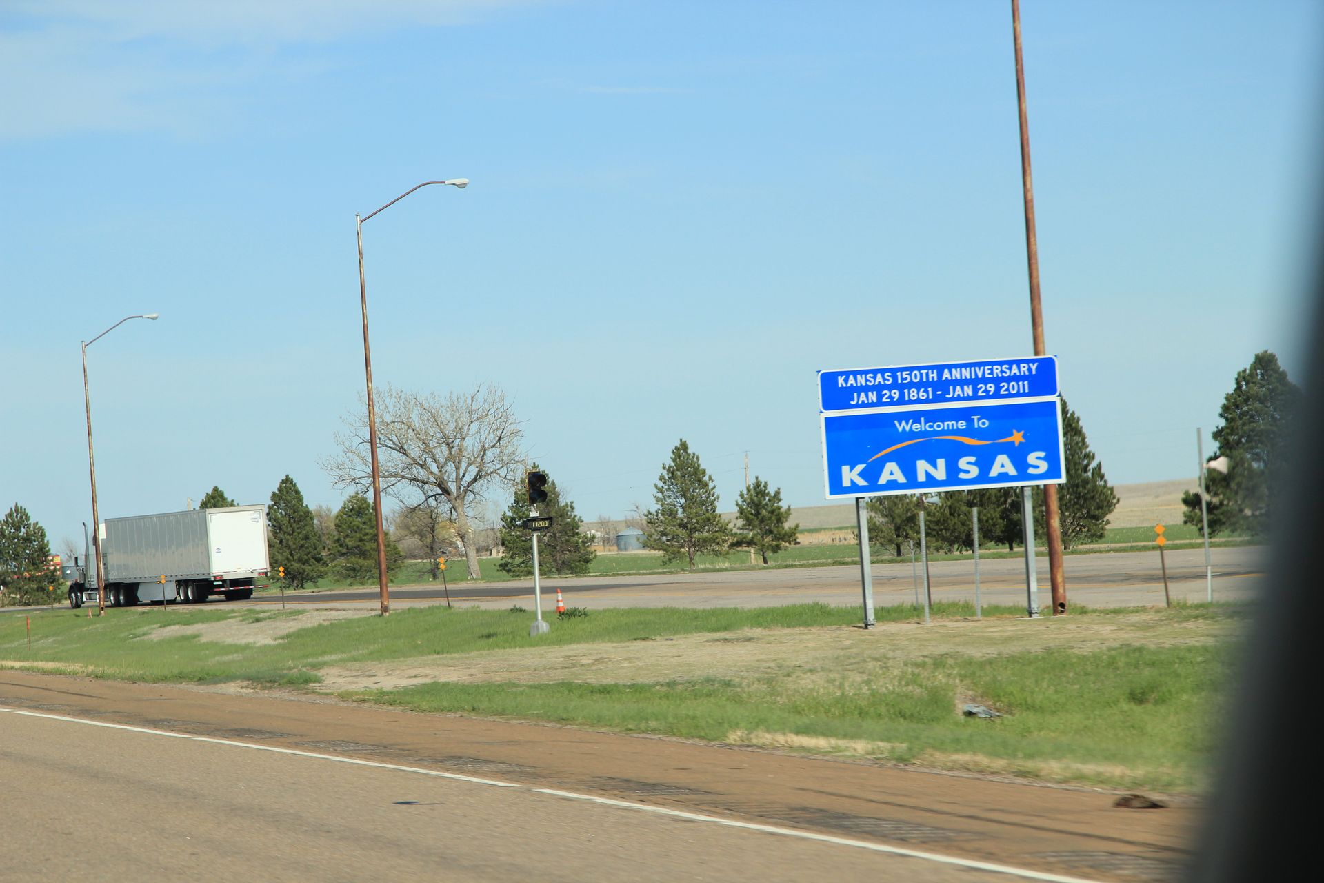
We stopped at first exit and grabbed a quick sandwich at Wendy’s around 3:00. We crossed the Colorado/Kansas border around 5:00. This is the 9th state We have been in: TN, AR, OK, TX, NM, AZ, UT, CO, KS and we have driven around 3,600 miles...other than a cracked windshield (fixed in Flagstaff) and slow tire leak, we have not had any problems. We finally got back into CST a few miles into Kansas.
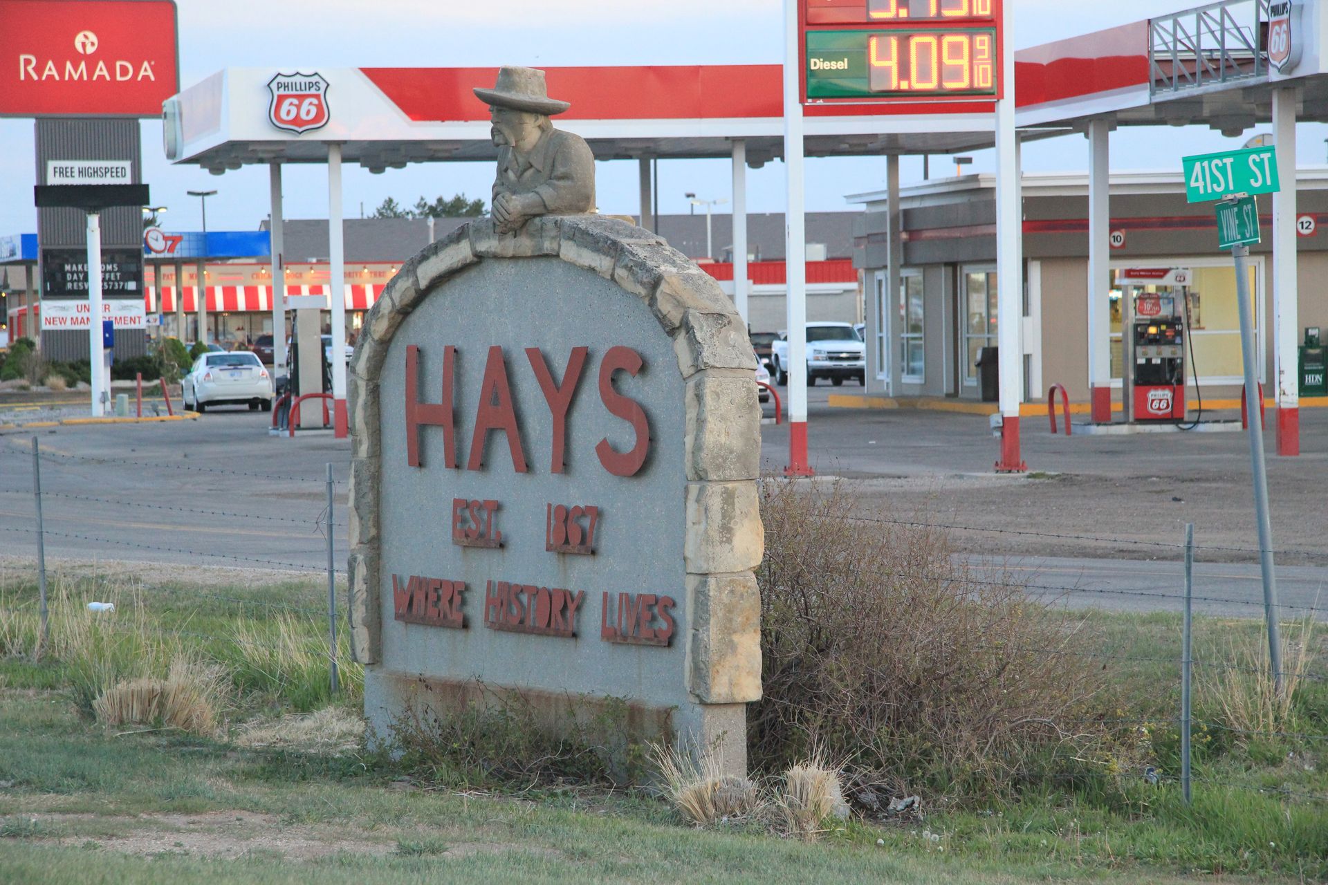
We made one stop for Sammy to see his hometown, get some water and bio break. We arrived in Hays around 8:15 and checked into Fairfield Inn, blogged and went to bed. It is good to see CST and temperatures around 60 degrees.

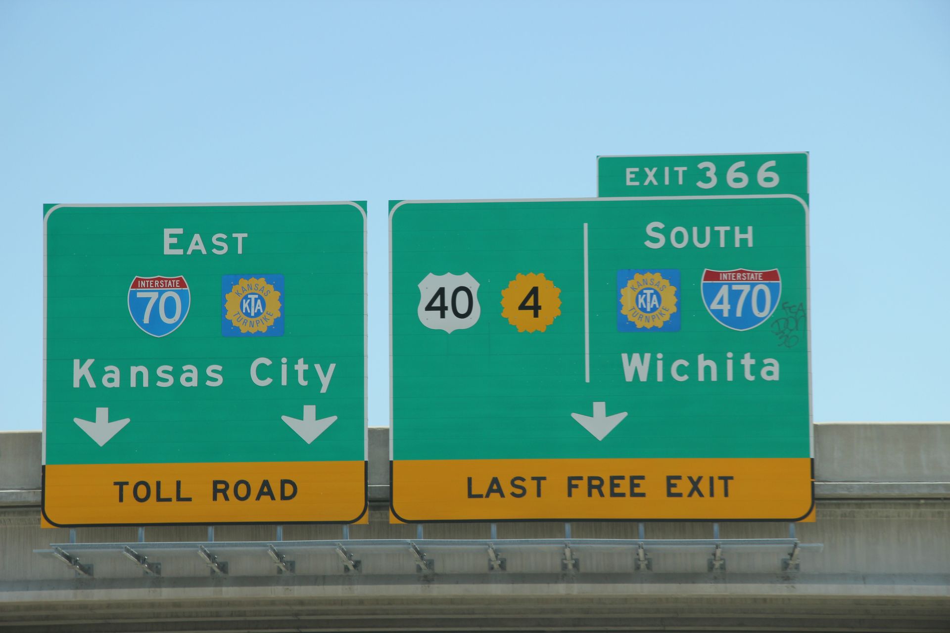
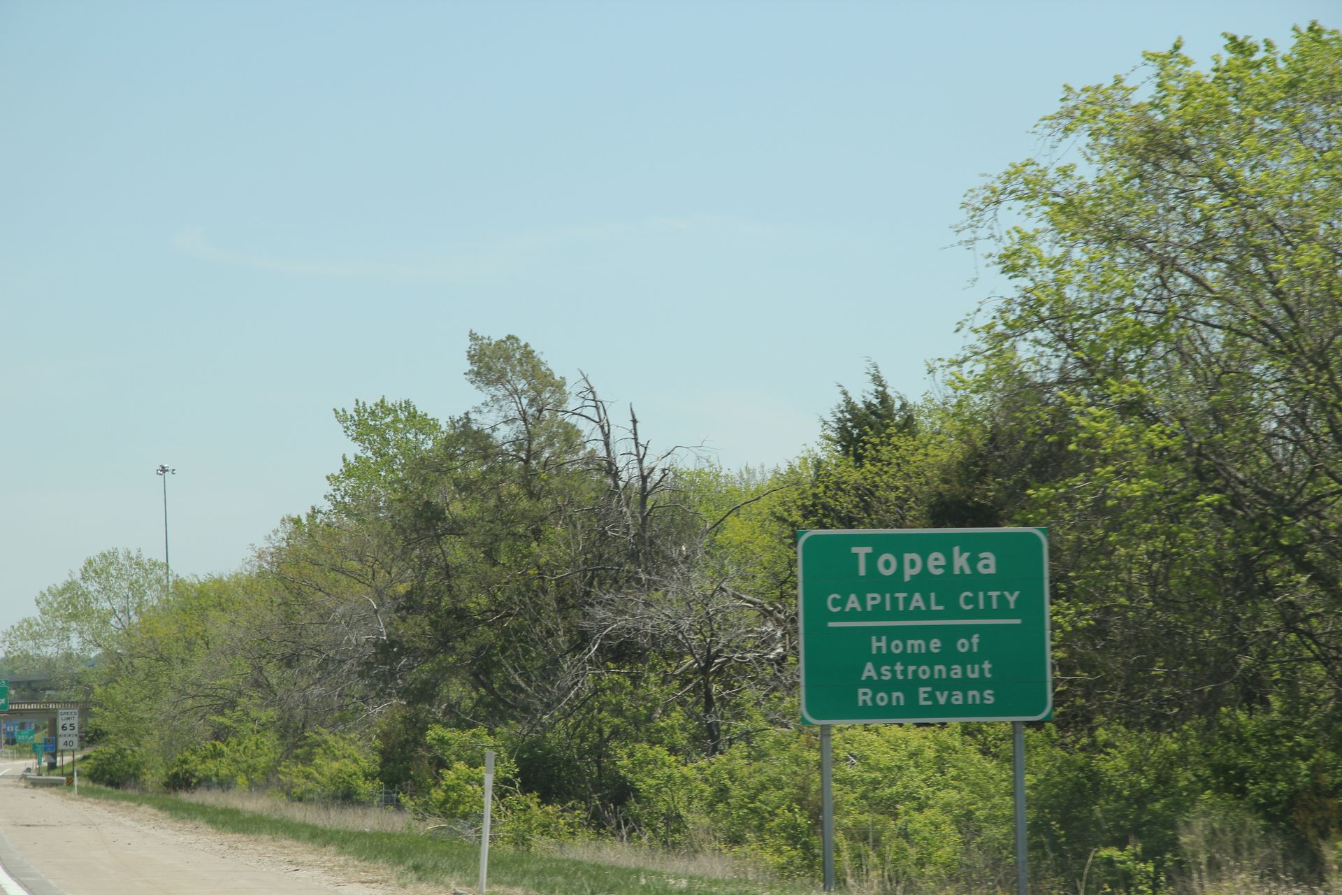
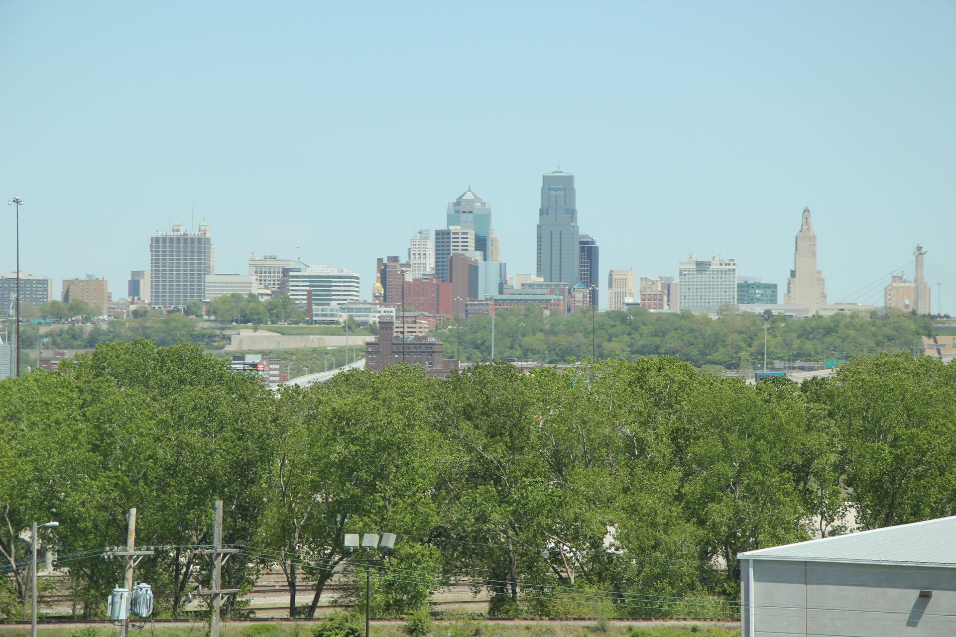
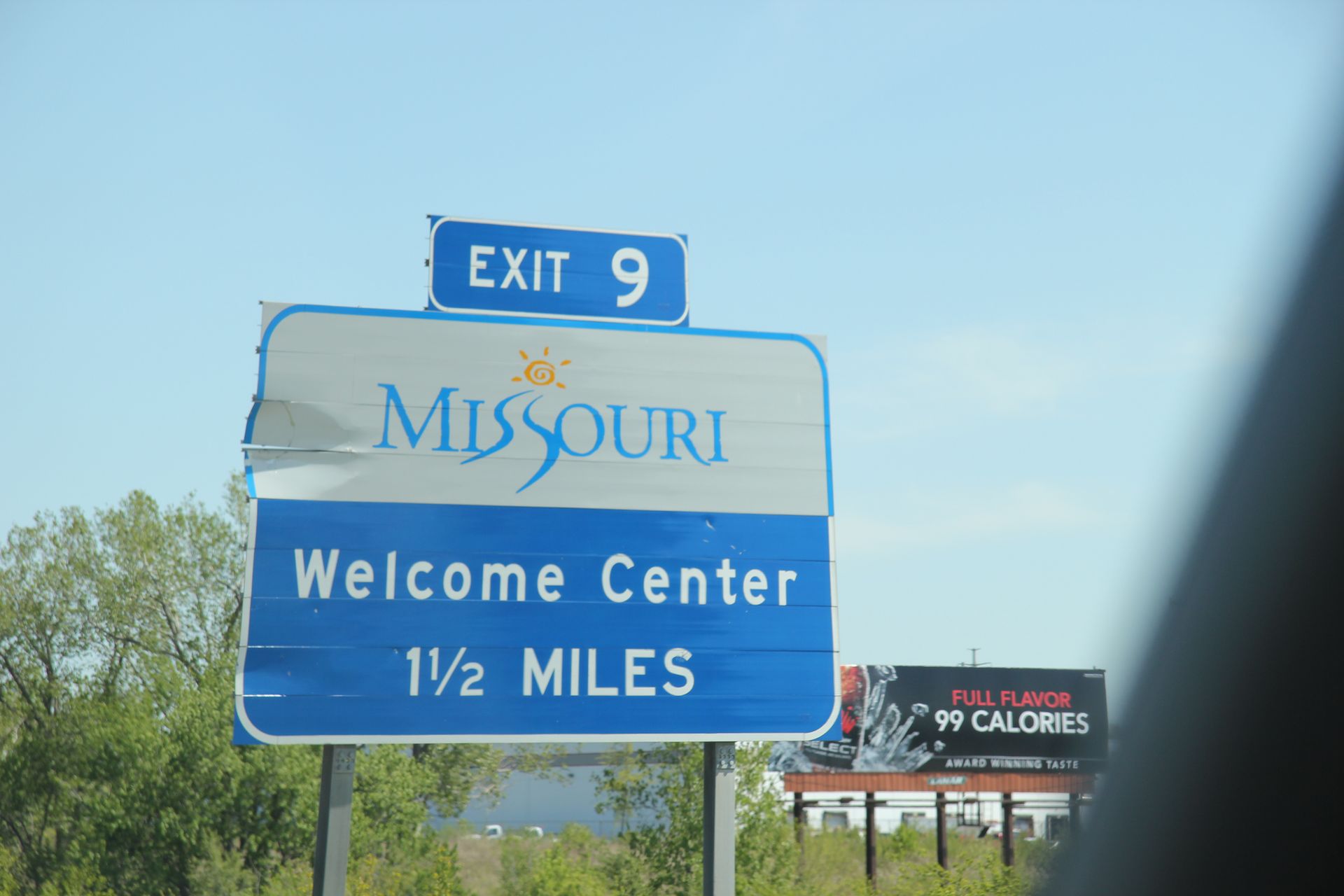
Colorado Springs, CO to Kansas City, KS
- Day 17, Wed, May 4, 2011
- Google Map - 584 miles
- Links
- Along the way
- Kansas City
- National Parks
- None
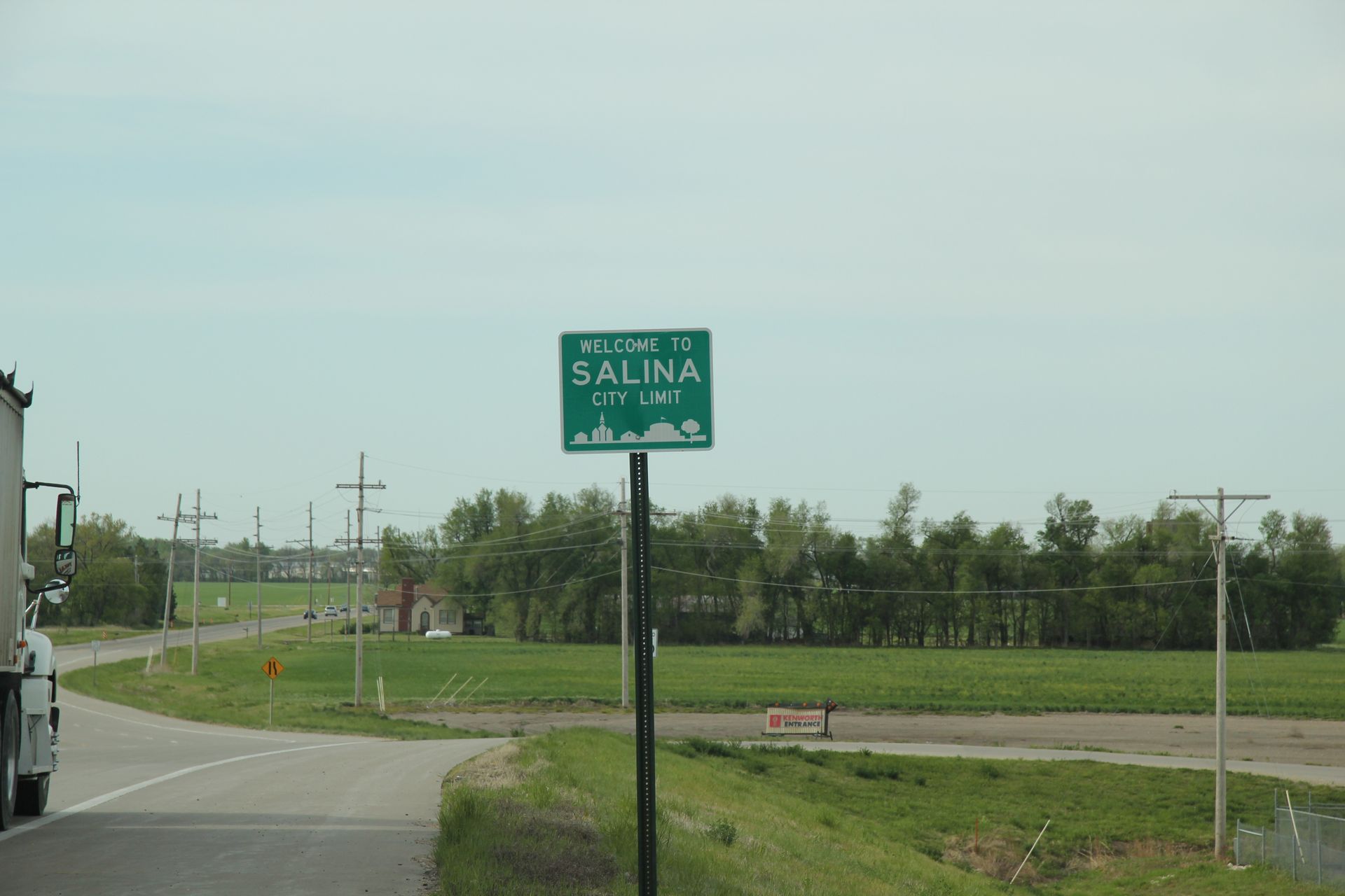
We left the big city of Hays, KS around 8:00 this morning after a quick breakfast for the 500+ mile trip across Kansas and Missouri to Illinois. We could have stopped before we got to St Louis but did not want to hit all the traffic going into St Louis Thursday morning. We stopped for gas after about 150 miles and switched drivers.
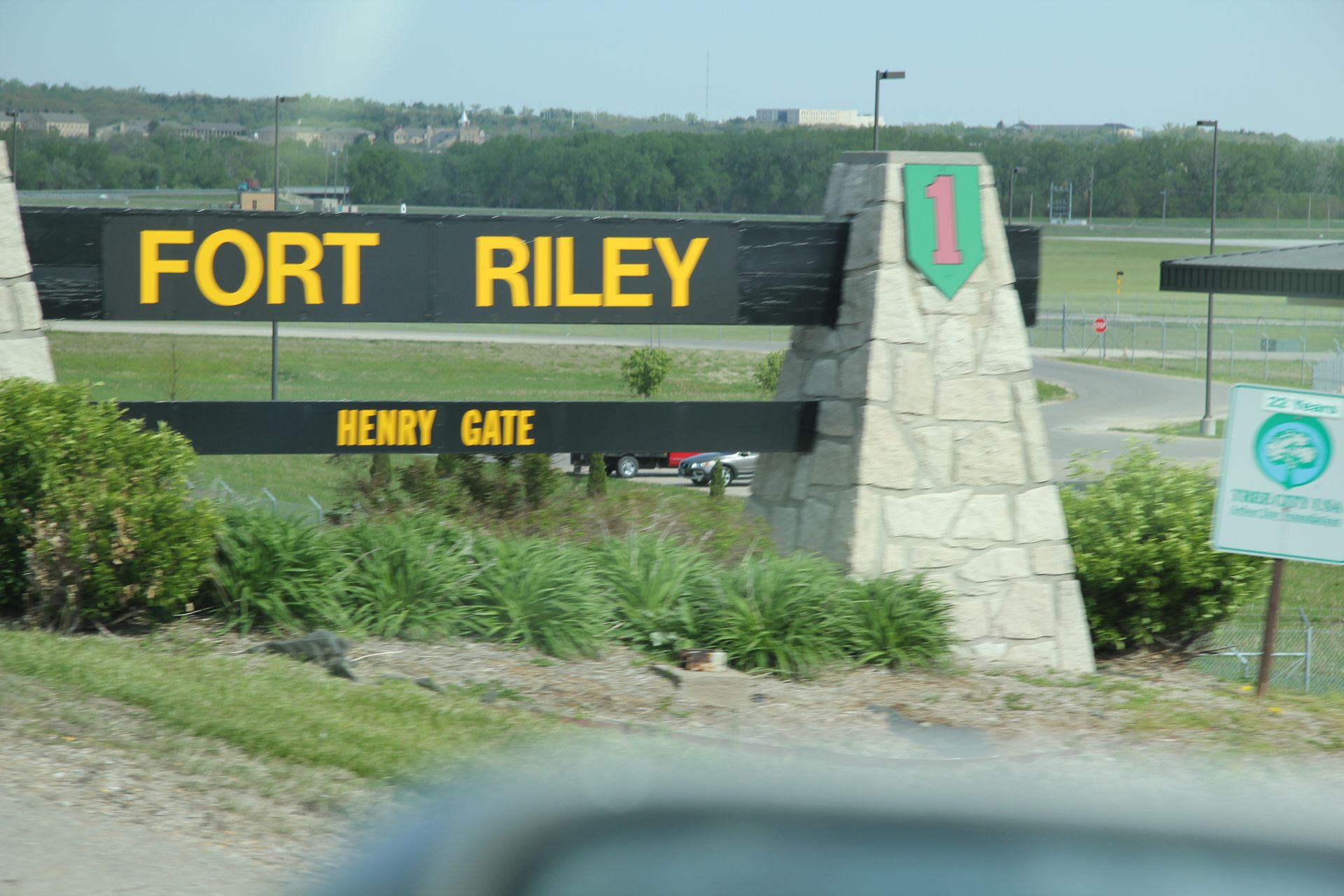
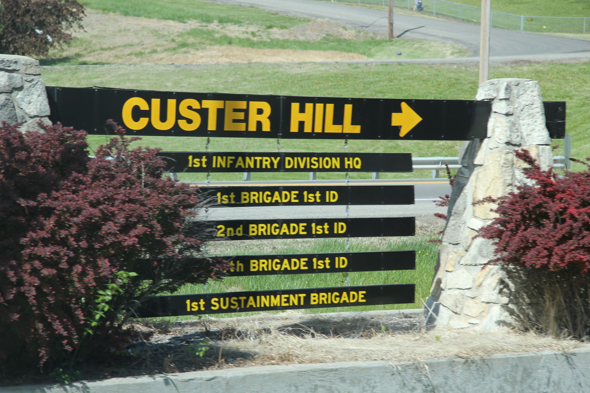
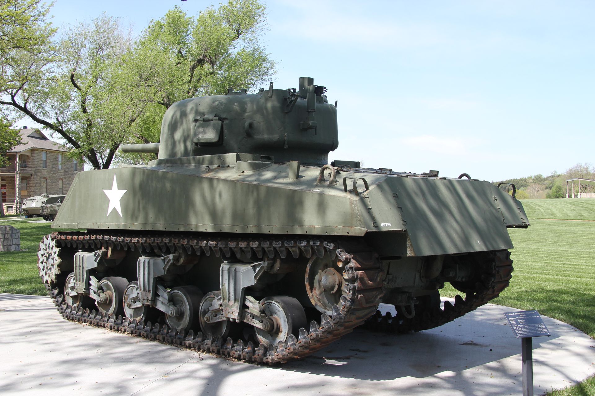
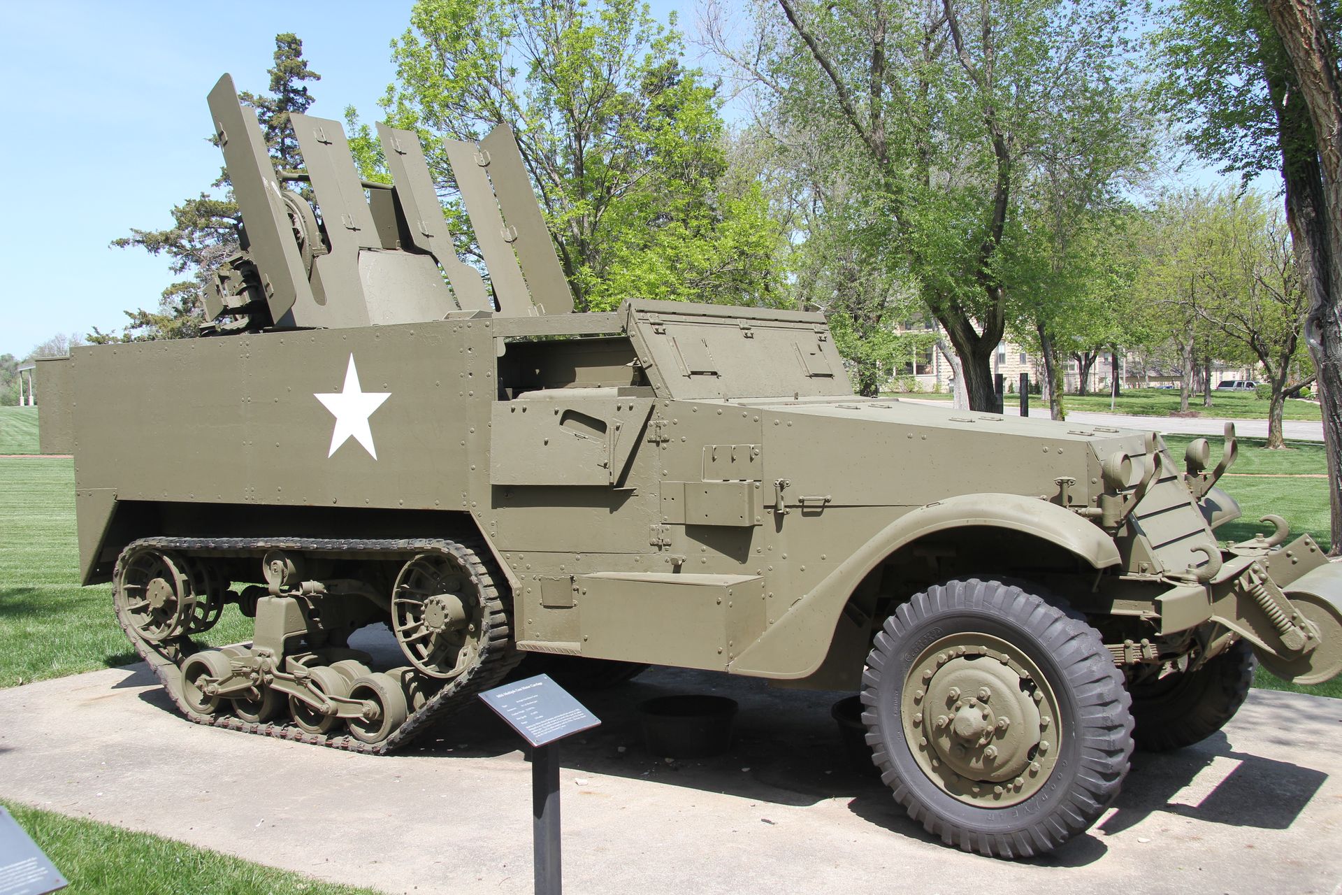
We drove a while longer and stopped to see Custer’s home, which was located on Ft Riley, KS. While there we also visited the Cavalry Museum.
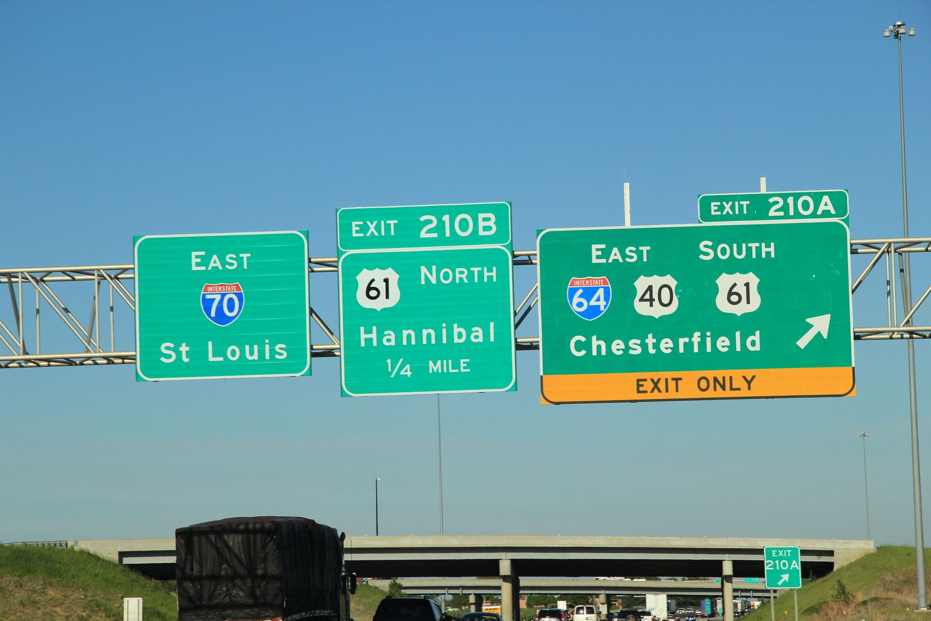
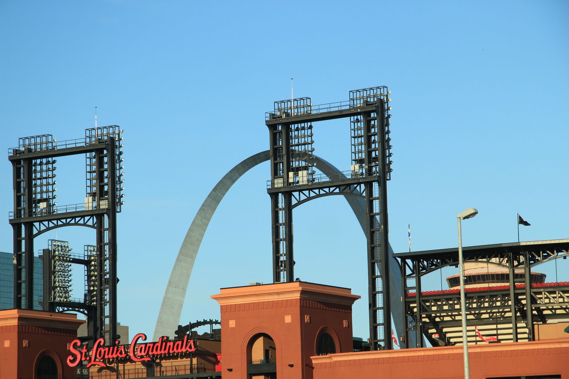
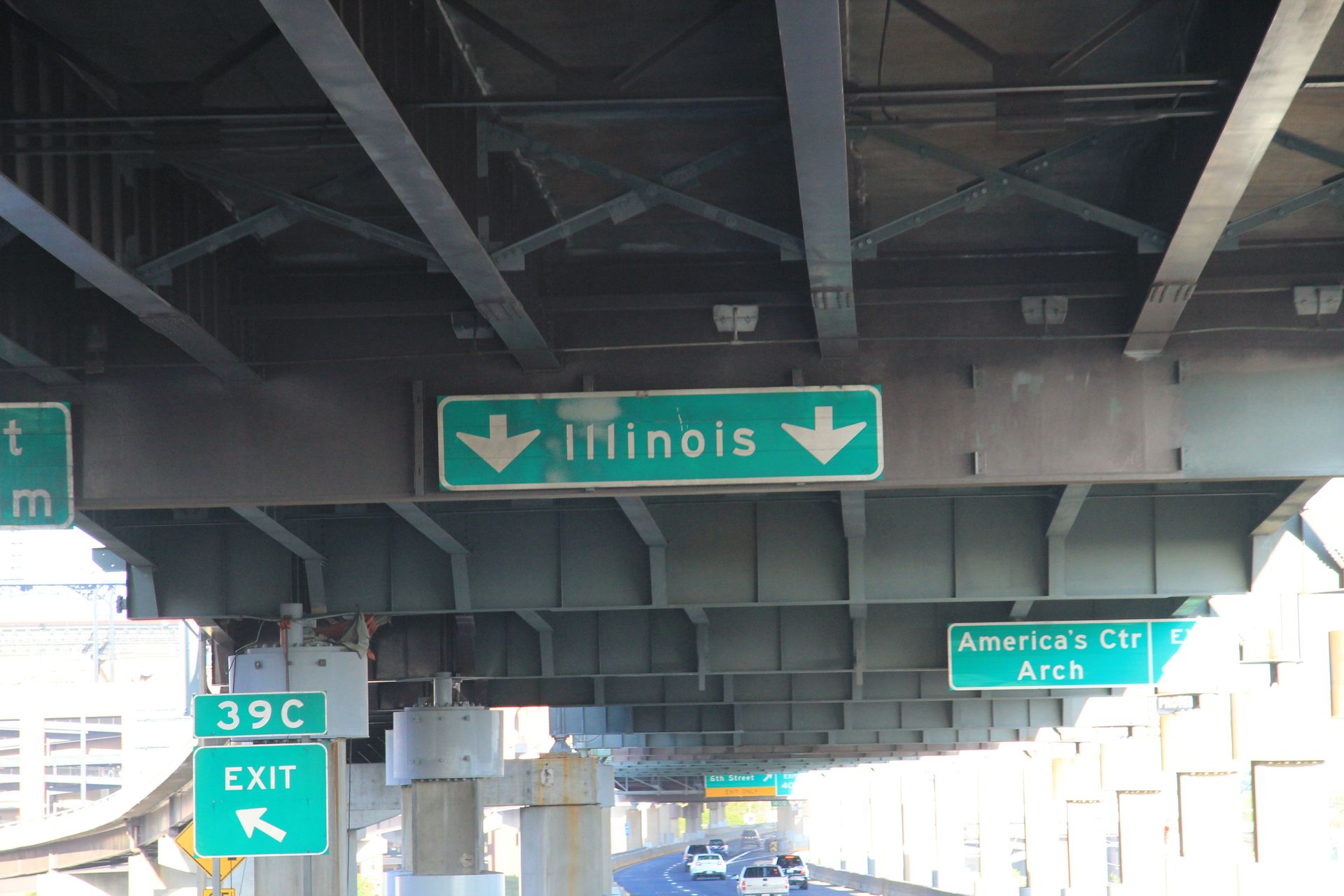
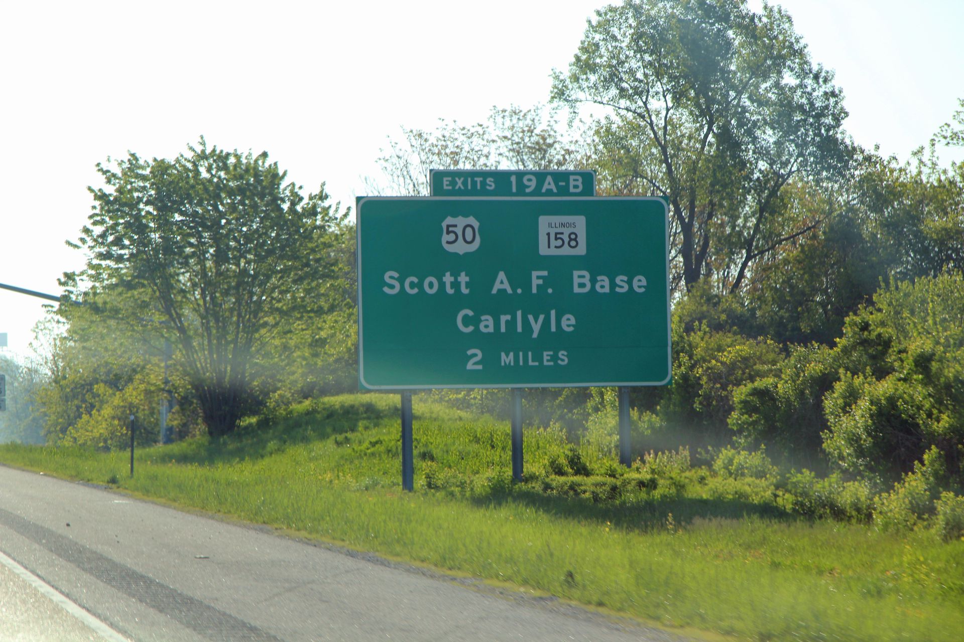
We headed out and stopped for lunch around 1:00 at a Service Area while on Missouri Toll Road (I-70). I think we all getting tired of quick burgers and fries. We stopped again just before St Louis and filled up with gas and then got on I-64 that would take us through St Louis, over the Mississippi into Illinois. We stopped at hotel for the night in Fairview Heights just outside Scott AFB. No pics today – just driving.
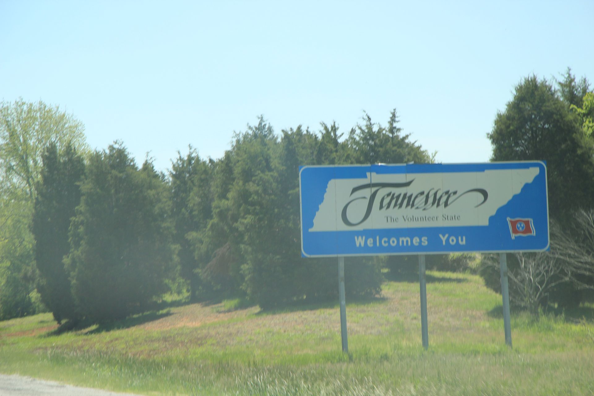
Fairview Heights, IL to Smyrna, TN
- Day 18, Thu, May 5, 2011
- Google Map - 579 miles
- Links
- Along the way
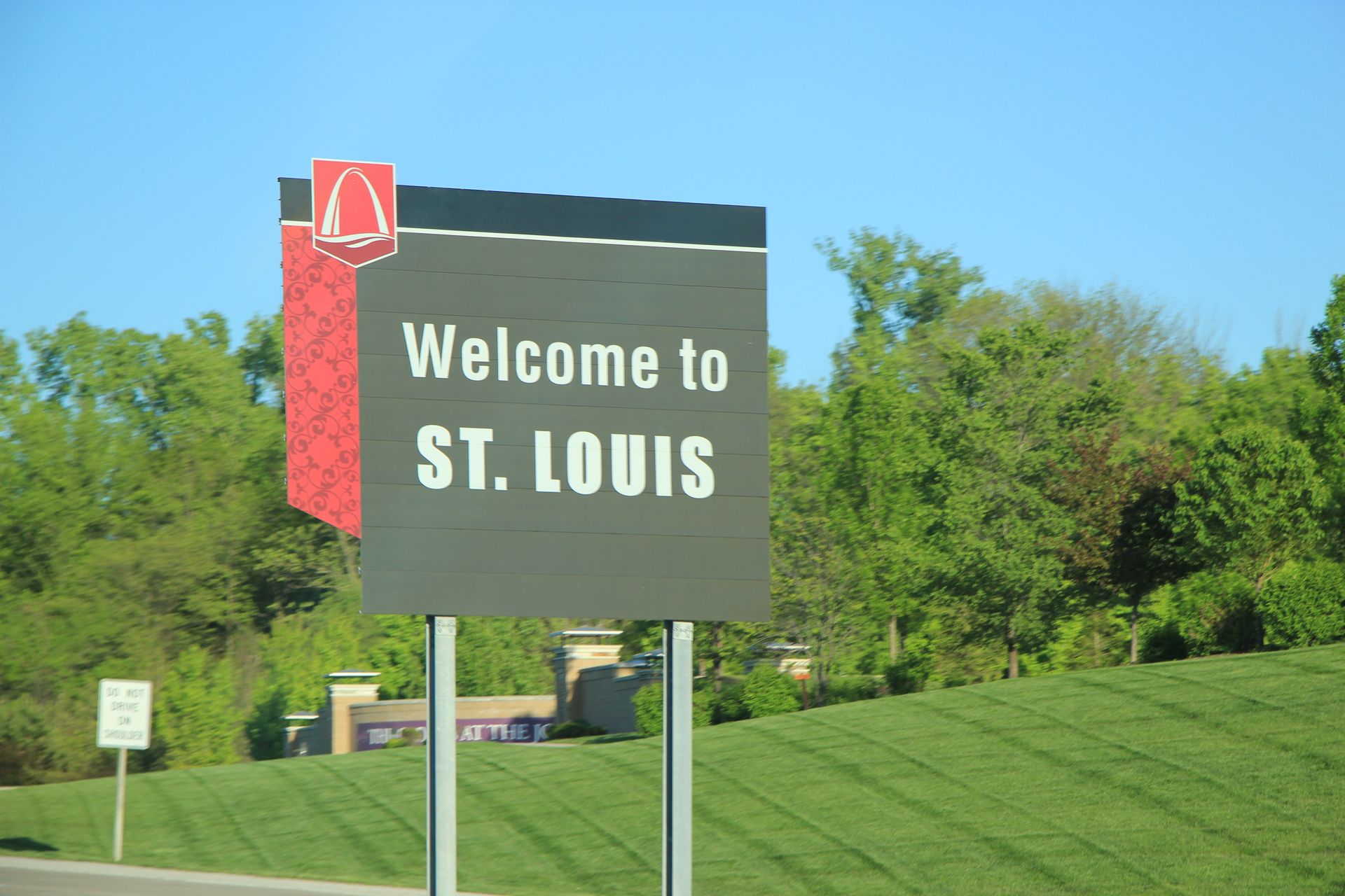
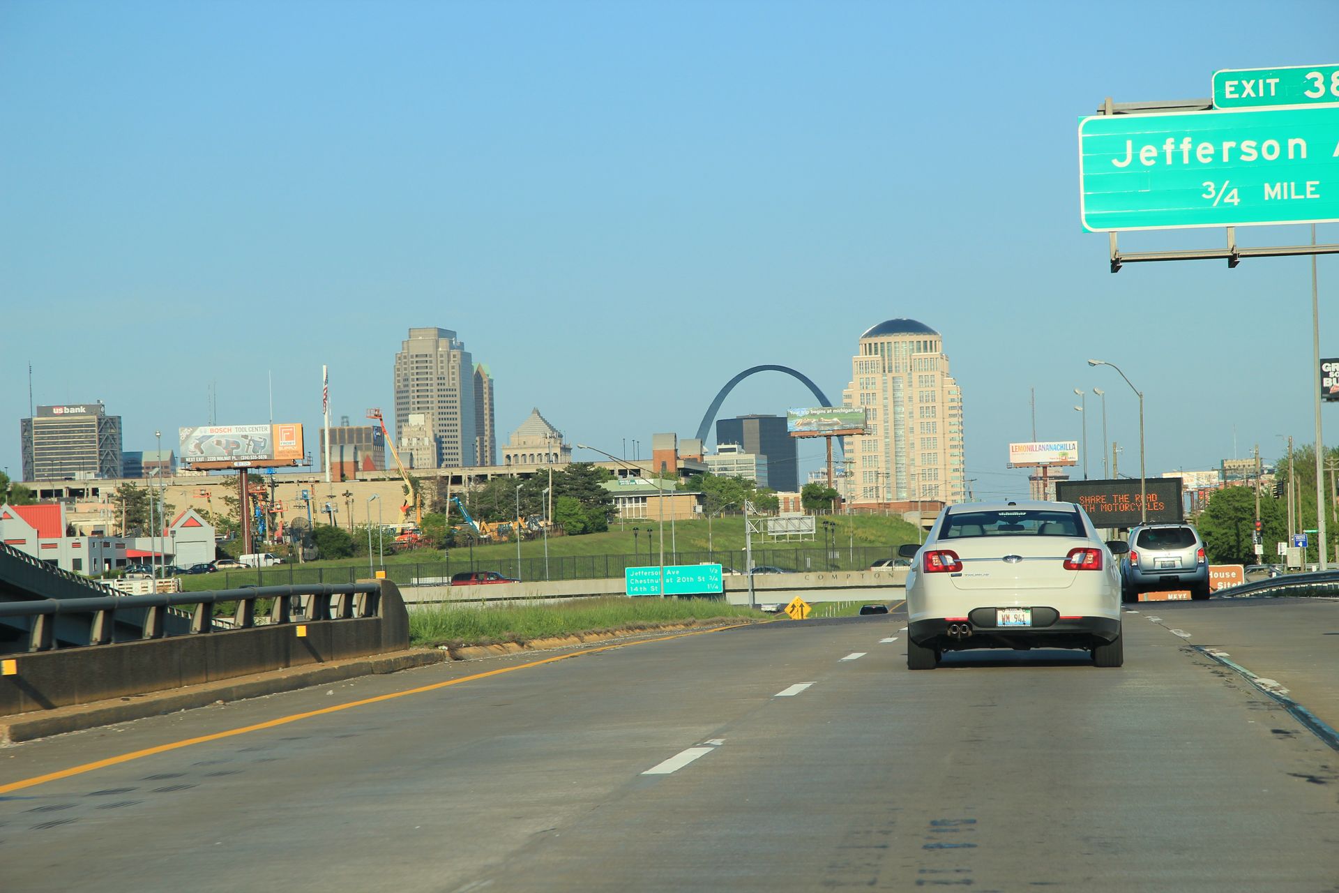
- St Louis
- National Parks
- None